The 6 Most Amazing Peaks in Escaldes-Engordany
Best mountain peaks in Escaldes-Engordany are situated within one of Andorra's seven parishes, offering diverse mountainous terrain. The region features several peaks, some directly within its borders and others nearby, providing varied natural experiences. These mountains contribute to the parish's landscape, characterized by high elevations and natural features. The area serves as a destination for those seeking to explore the Pyrenean environment.
Best mountain peaks in Escaldes-Engordany
- The most popular mountain peaks is Tossa del Braibal, a summit that…
Last updated: October 14, 2026
Tossa del Braibal
Highlight • Summit
Translated by Google •
Tip by

Ridge from Monturull to Perafita Peak
Highlight (Segment) • Summit
Translated by Google •
Tip by

Sign up now to discover places like this
Get recommendations on the best single tracks, peaks, & plenty of other exciting outdoor places.
Tosseta de Vallcivera (2,848 m)
Highlight • Summit
Translated by Google •
Tip by

Pic de Setut (2,867 m)
Highlight • Summit
Translated by Google •
Tip by

Pic de Claror
Highlight • Summit
Translated by Google •
Tip by
Braibal Ridge
Highlight (Segment) • Climb
Translated by Google •
Tip by
Start today with a free account
Your next adventure awaits.
Popular around Escaldes-Engordany

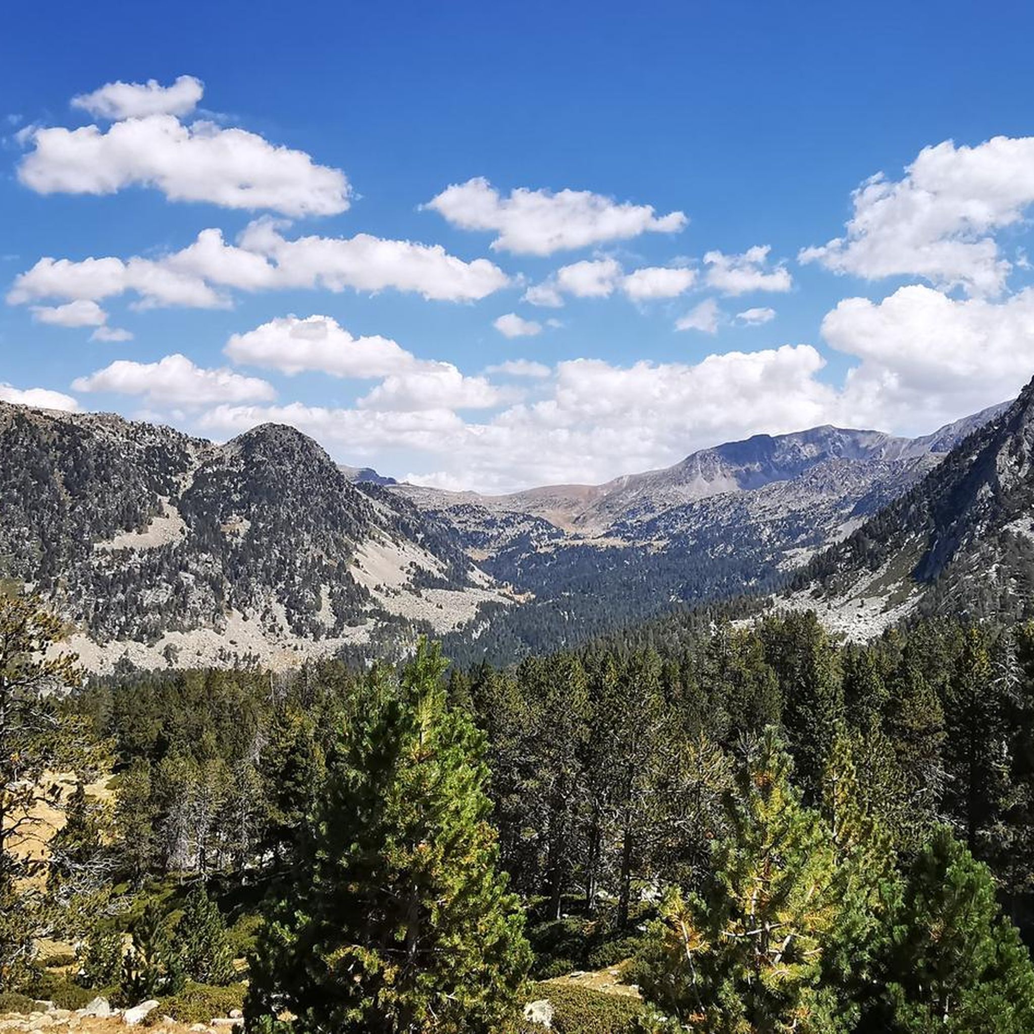
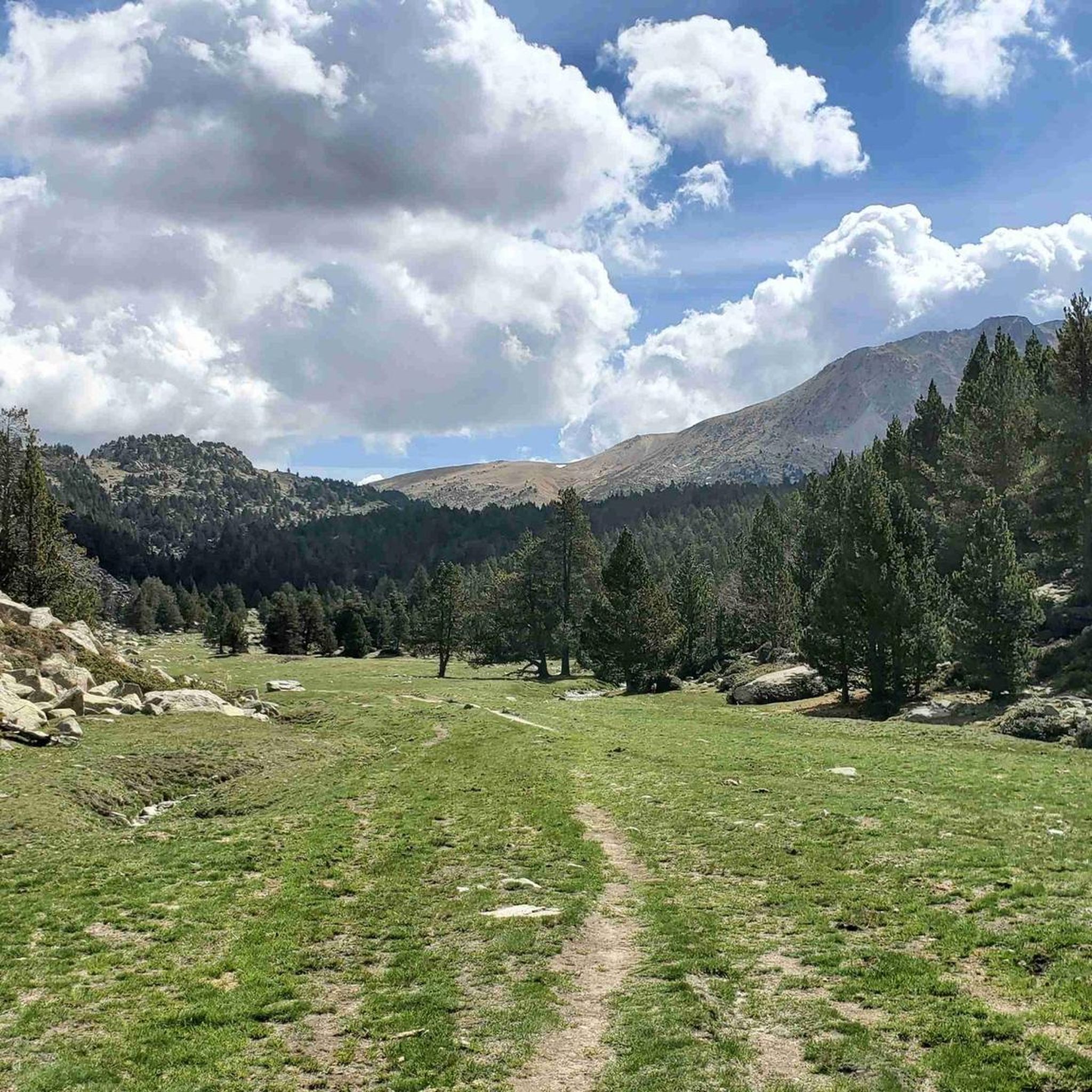
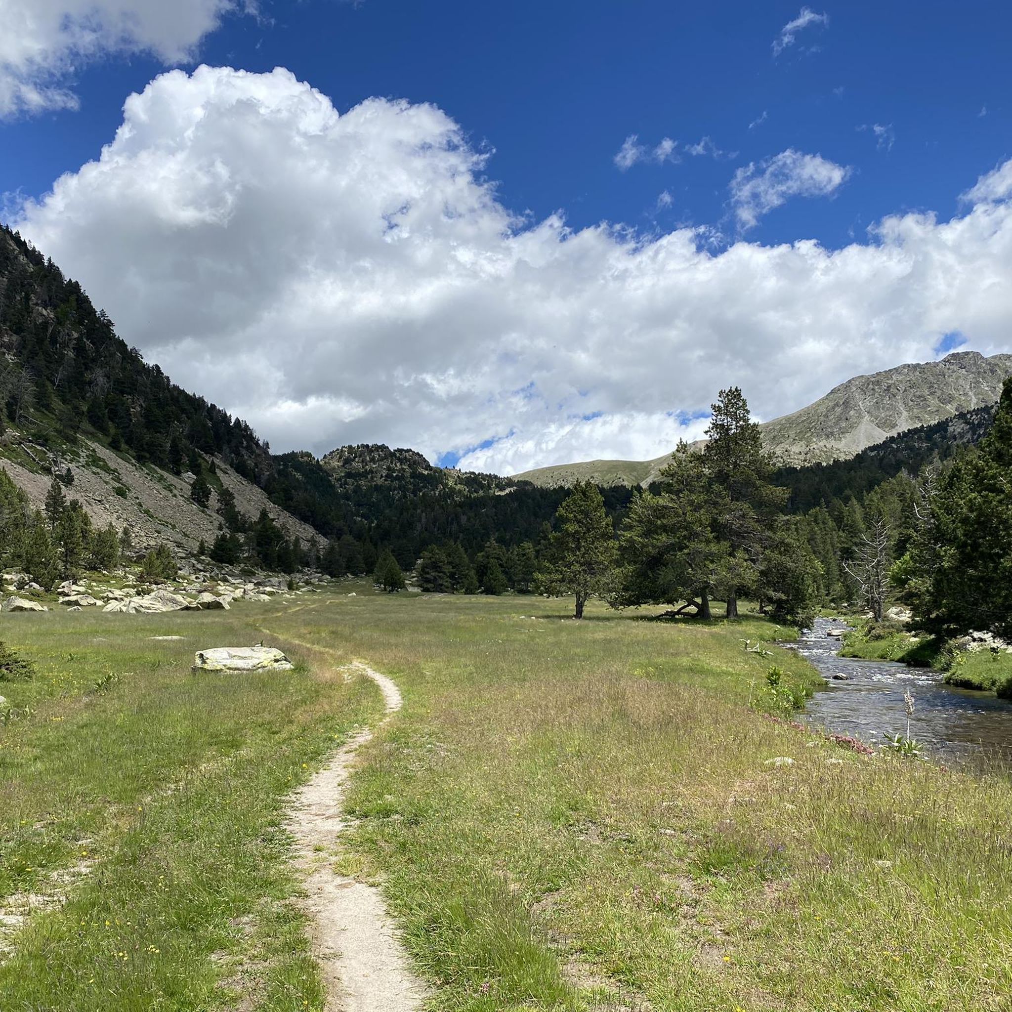
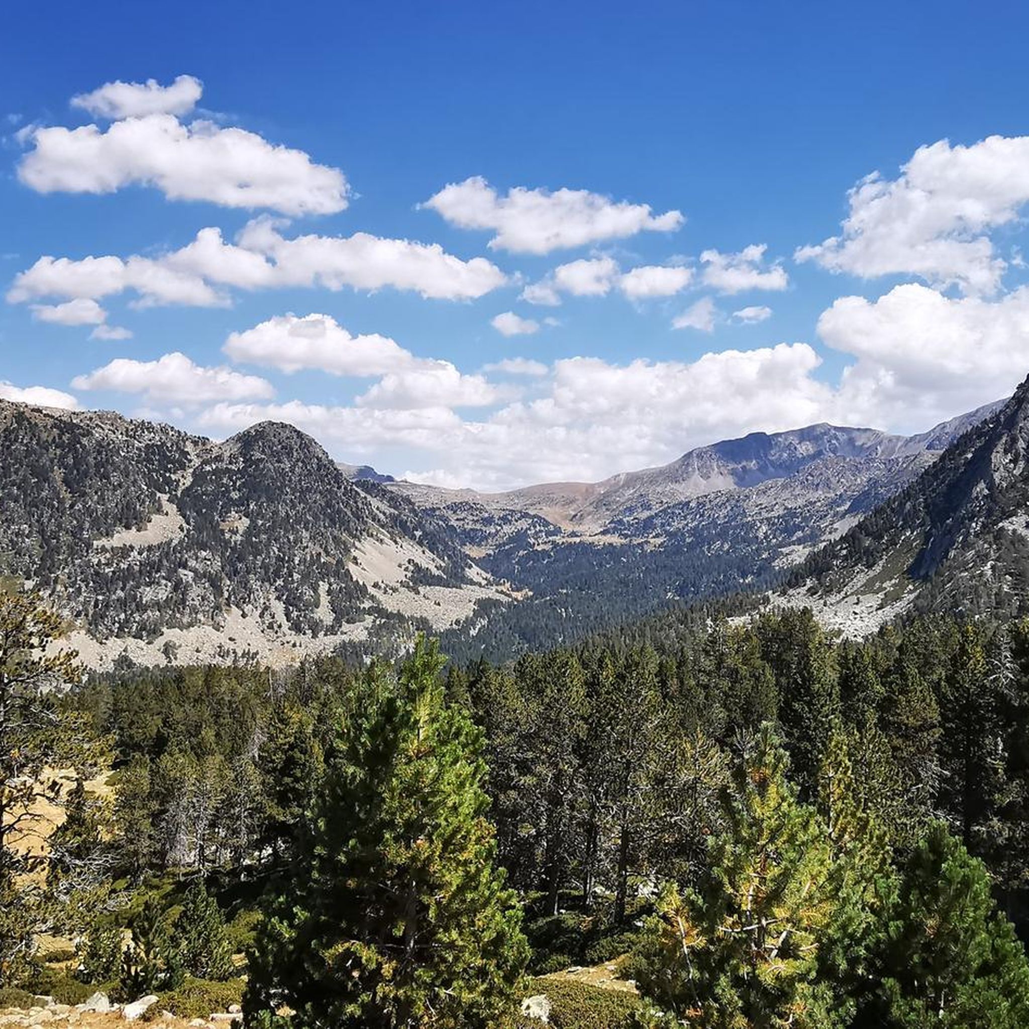
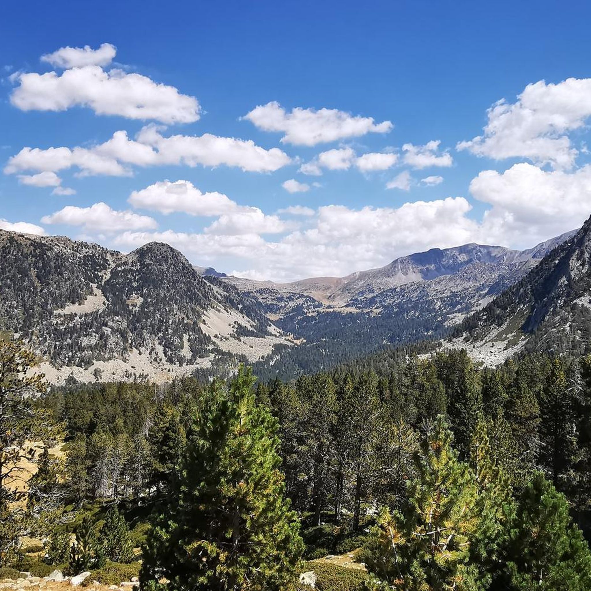
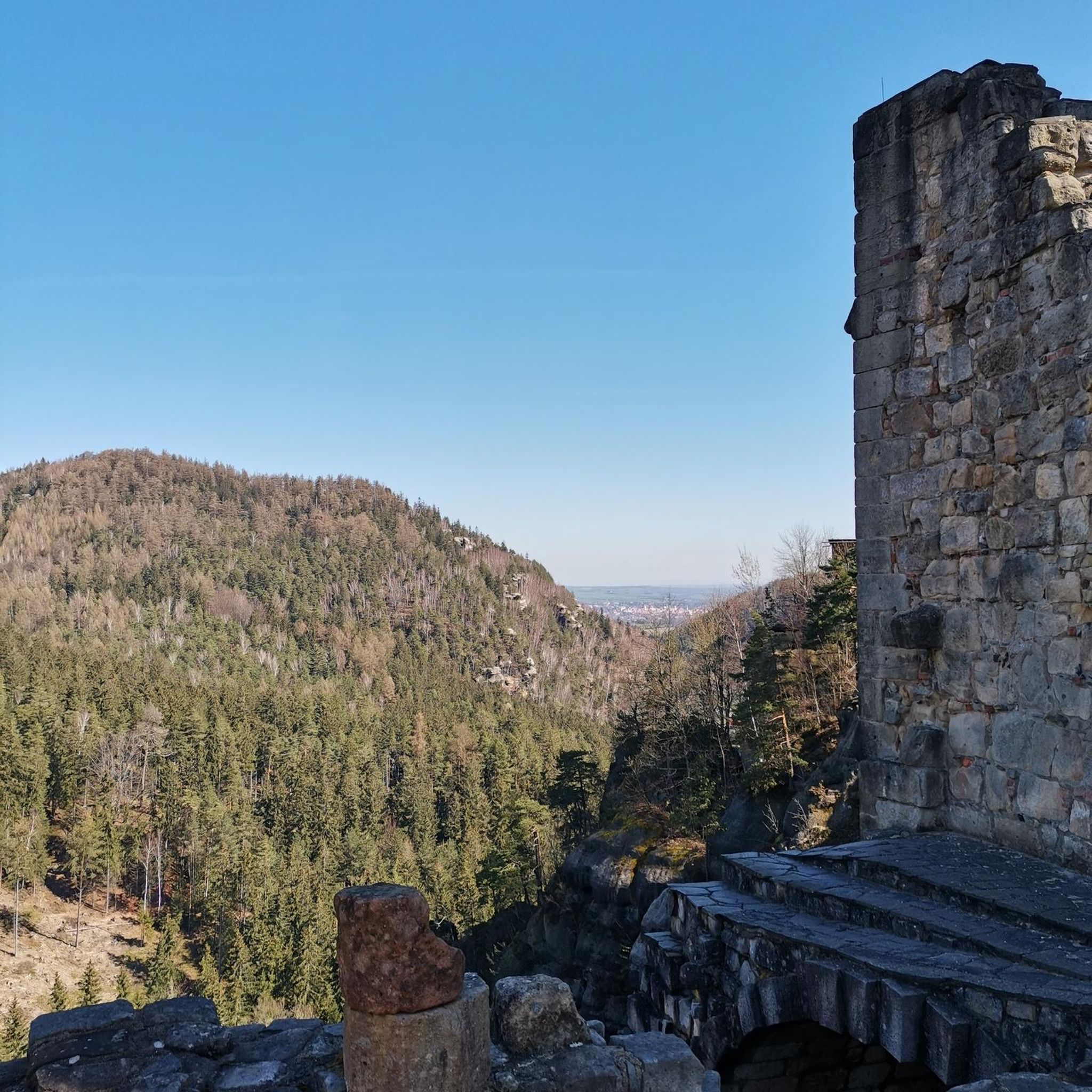

Other adventures in Escaldes-Engordany

Tips from the Community

In this border area between Cerdanya and Andorra we find these rounded peaks that occupy these eastern areas of the long-suffering country of the Pyrenees.
0
0
Aerial ridge that is on the border between Andorra and the southern slope of this system that falls to the Cerdanya valley and Seu d'Urgell. At the foot on one side the valleys of Pedrafita and on the other, the ponds of the Pera.
0
0
Impressive mountain and not only because of its summit but because of the entire ridge that we find there that shows us one of the most spectacular views in Andorra!!
0
0

very nice mountain ridge. technical section with some aerial parts, not suitable for those who suffer from vertigo.
2
0
highest peak of the ridge, spectacular views, worth the effort to climb up there
2
0

Border peak with Andorra, junction point of the ridge that joins the Tossa Plana de Lles to the south and the Pic de Ríbuls to the north, with that of Muga to the east. It can be climbed from Port de Vallcivera to the north, from Coll de la Muga to the east or from Portelleta to the south. Prominence: 85m.
0
0

Beautiful climb on the border Andorra and Spain.
2
0

Here you have a really nice view of the Pyrenees, which you can enjoy.
2
0
Frequently Asked Questions
What are some of the most popular mountain peaks in Escaldes-Engordany?
Visitors frequently enjoy Tossa del Braibal, known for its spectacular views from the highest point of its ridge. Another favorite is the Ridge from Monturull to Perafita Peak, an aerial ridge offering views of the Cerdanya valley. Tosseta de Vallcivera (2,848 m) is also popular as a border peak and a junction point for several ridges.
What is the highest mountain peak located entirely within Escaldes-Engordany?
The highest mountain peak located entirely within the parish of Escaldes-Engordany is Tossa Plana, reaching an elevation of 2,904 meters (9,528 feet). It is situated in the southeast of the parish, directly on the border with Spain, and offers significant panoramic views.
What kind of views can I expect from the mountain peaks in Escaldes-Engordany?
The peaks in and around Escaldes-Engordany offer diverse and stunning views. From Tossa del Braibal, you get spectacular panoramic vistas across Andorra. Pic de Padern provides fantastic views of the central parishes, including Escaldes-Engordany and Andorra la Vella. Peaks like Pic de Setut (2,867 m) offer great views of the Pyrenees, while the Ridge from Monturull to Perafita Peak overlooks the Cerdanya valley and the ponds of the Pera.
Are there challenging mountain climbs in the Escaldes-Engordany region?
Yes, the region offers several challenging climbs. For instance, the route to Pic de Padern is considered challenging, with a significant elevation gain and steep sections that include chains and handrails. Many of the popular peaks like Tossa del Braibal, Tosseta de Vallcivera (2,848 m), and Pic de Setut (2,867 m) are categorized as challenging and offer rewarding experiences for experienced hikers.
What is Pic de Padern known for, and what is the hiking route like?
Pic de Padern, standing at 1,857 meters, is renowned for its fantastic panoramic views of the central parishes. The hiking route is challenging, involving an 810m elevation gain over 3.9 kilometers. Starting from the Salita path, it passes through vegetable gardens and forests of Scots pines, with steep slopes and assisted sections using chains and handrails. You can find more details about this route on the Visit Andorra website.
Are there mountain peaks near Escaldes-Engordany that offer exceptional views of the parish?
Yes, Pic de Carroi (2,334 meters) is a notable mountain situated between Andorra la Vella and La Massana. Despite not being in Escaldes-Engordany, its commanding position directly above the capital offers exceptional, sheer views of the heart of Andorra la Vella and Escaldes-Engordany. The ascent typically starts from Sispony and involves a steep, constant climb.
What wildlife can I spot on the mountain peaks in Escaldes-Engordany?
Depending on the season, particularly between March and May and August and September, you might spot various birds of prey around peaks like Pic de Padern. These include European honey buzzards, black kites, and short-toed snake eagles. The broader area, such as around Pic dels Aspres, is also rich in diverse flora and fauna, making it a paradise for nature lovers.
When is the best time to hike the mountain peaks in Escaldes-Engordany?
While specific peak conditions vary, the period between March and May and August and September is highlighted for bird spotting, suggesting favorable conditions for hiking. Generally, late spring to early autumn offers the most accessible and pleasant hiking conditions in the Pyrenees, avoiding heavy snow and ice at higher elevations.
What other outdoor activities can I do near the mountain peaks in Escaldes-Engordany?
Beyond peak bagging, Escaldes-Engordany offers a variety of outdoor activities. You can explore waterfall hikes, with routes like 'El Mirador del Toll Bullidor from Meritxell'. There are also numerous mountain hikes, including challenging trails like 'Artiga de Lin Waterfall – Estany Negre loop'. For easier options, consider easy hikes such as 'From Escaldes-Engordany to Andorra la Vella via the Rec de l'Obac'.
What do visitors enjoy most about the mountain peaks in Escaldes-Engordany?
Visitors particularly appreciate the spectacular views offered from the summits and ridges, such as those from Tossa del Braibal. The challenging nature of many trails, like the ascent to Pic de Setut (2,867 m), is also a draw, providing a rewarding sense of accomplishment. The diverse natural landscapes and the opportunity to explore border areas between Andorra and Spain are also highly valued.
Can you tell me about Pic dels Aspres and its natural features?
Pic dels Aspres (2,562 meters) is located in the northwest of Andorra, near the Spanish border. This stunning peak in the Eastern Pyrenees provides breathtaking panoramic views. The area is rich in diverse flora and fauna. Approximately 250 meters below its summit lies Estany de les Truites (the trout lake), a picturesque round cirque formed by glacial erosion, adding to the rugged beauty of the landscape.
Are there any intermediate difficulty peaks in the region?
Yes, Pic de Claror is categorized as an intermediate difficulty summit. Located in the border area between Cerdanya and Andorra, it offers a more moderate challenge while still providing access to the rounded peaks of the eastern Pyrenees.
Most popular routes in Escaldes-Engordany
Most popular attractions in Escaldes-Engordany

Get inspired with the komoot mobile app


Didn’t find what you were looking for?
Discover Escaldes-Engordany’s best peaks and summits by region:
Explore more
See even more amazing summits in Escaldes-Engordany with these guides:
