The 4 Most Amazing Peaks around Dankmarshausen
Mountain peaks around Dankmarshausen are characterized by diverse hilly and forested landscapes rather than dramatic alpine summits. The region, situated in Thuringia, Germany, is surrounded by ranges such as the Seulingswald, Vorderrhön, and Richelsdorfer Gebirge. The Hornungskuppe, at 444 meters, is the highest elevation within the Dankmarshausen district, offering opportunities for nature exploration. This area provides a setting for outdoor activities amidst forests and river landscapes.
Best mountain peaks around Dankmarshausen
- The most popular mountain peaks is Hohe Buche Summit…
Last updated: June 27, 2026
Summit Cross Arnsberg
Highlight • Summit
Translated by Google •
Tip by

Hohe Buche Summit
Highlight (Segment) • Summit
Road is great to drive in both directions.
Once at the top you have a great view of Meißner, Eisenberg and Rimberg 👍
Translated by Google •
Tip by

Sign up now to discover places like this
Get recommendations on the best single tracks, peaks, & plenty of other exciting outdoor places.
Sign up for free
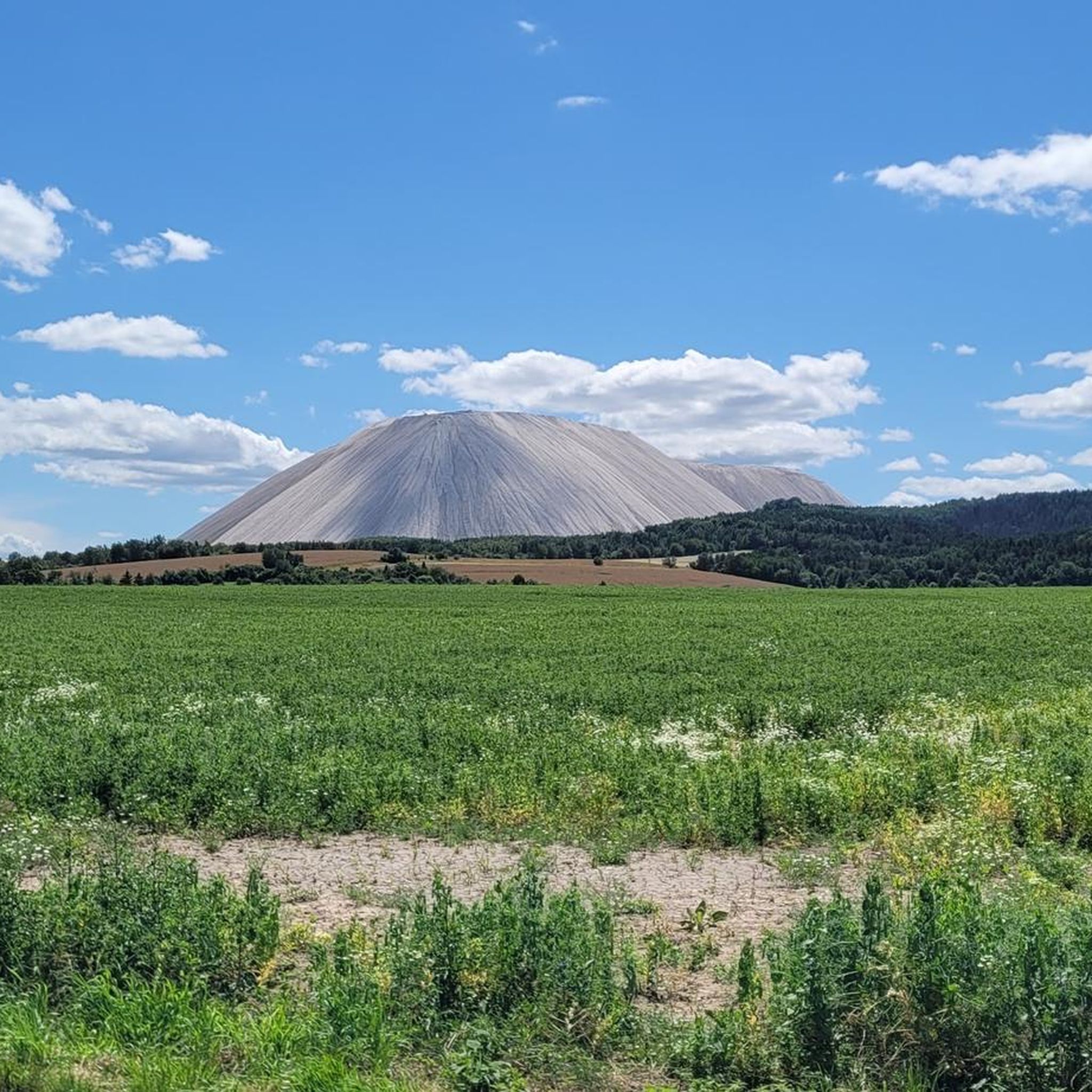
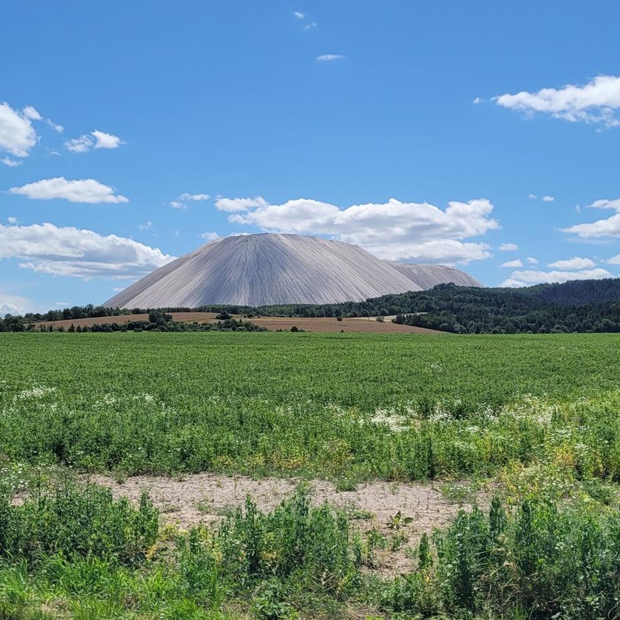
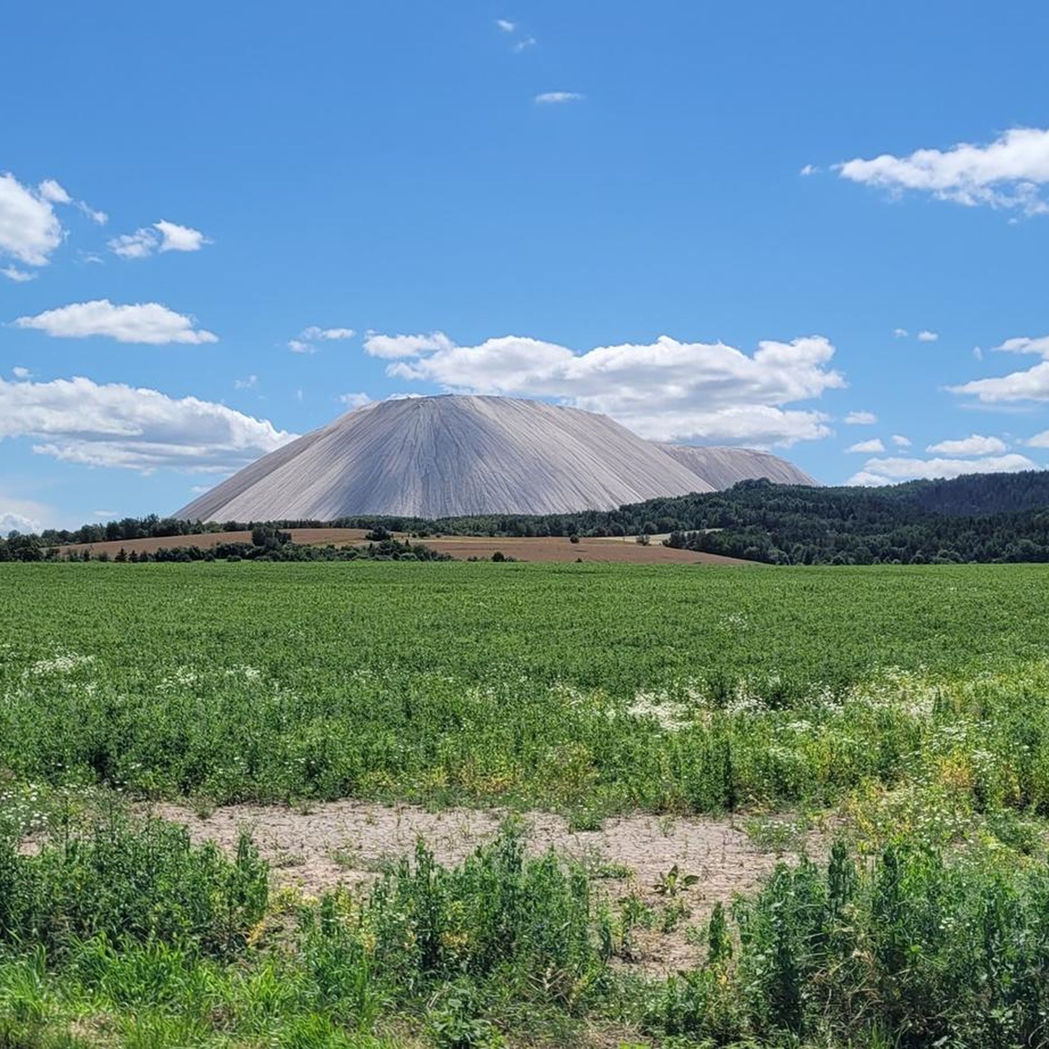
View of Monte Kali from Auelsberg
Highlight • Viewpoint
From here you have a wonderful view of the Werra valley and across to Monte Kali.
Translated by Google •
Tip by

Weltschlüssel Viewpoint
Highlight • Viewpoint
Translated by Google •
Tip by

At Kolmischer Berg
Highlight • Summit
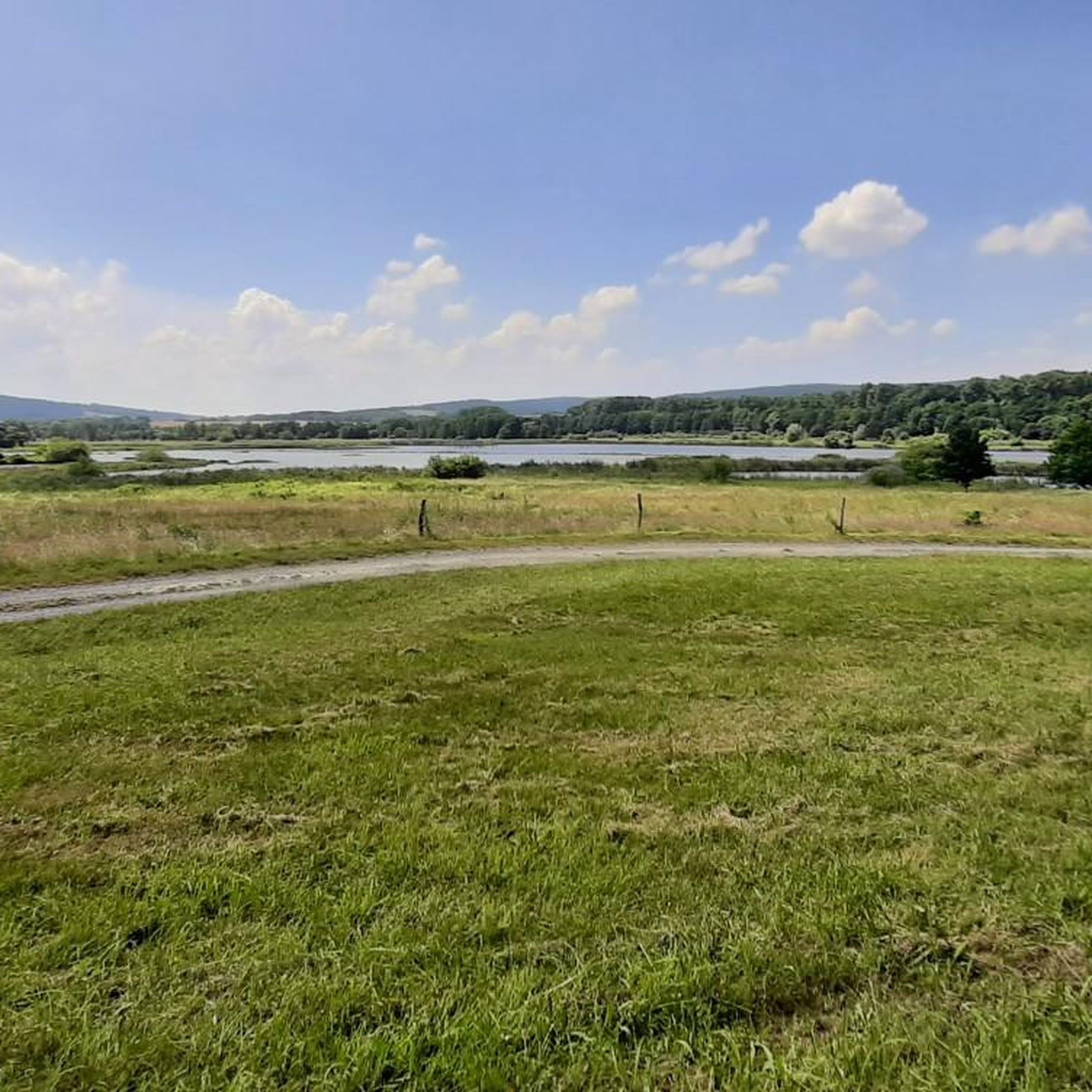
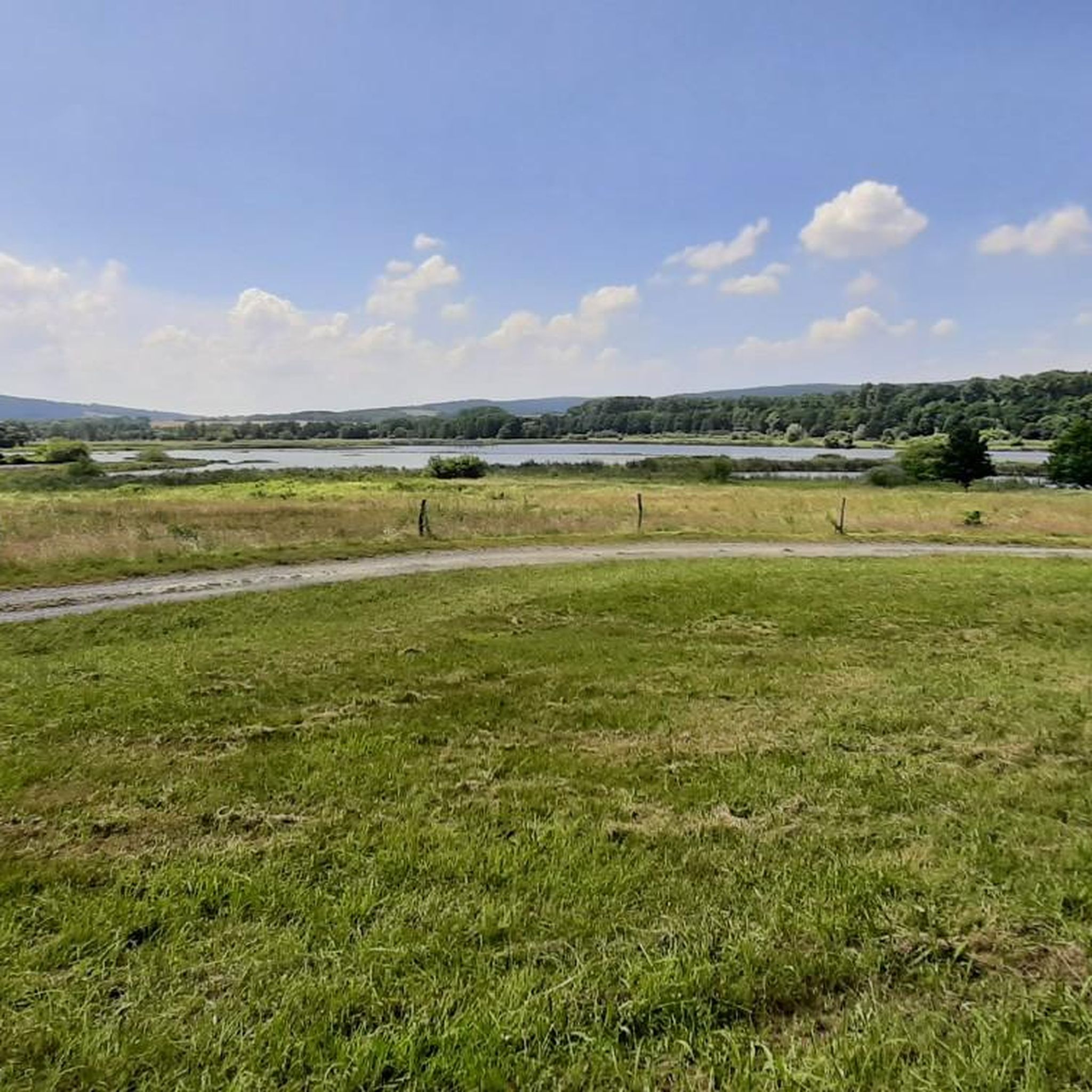
There is currently no view of the Werra Valley as it is surrounded by forest.
Translated by Google •
Tip by

Sign up for free to discover even more peaks around Dankmarshausen.
Sign up for free
Already have an account?
Start today with a free account
Your next adventure awaits.
Login or Signup

Tips from the Community

The Kolmischer Berg refuge is located on a rustic path and is ideal for a rest. There is currently no view of the Werra Valley as it is surrounded by forest.
7
0

It's a difficult path to get here, and some people walk past it.... The place is set back a little towards the south. There is a summit book and writing materials available here.
2
0

It's a really great place. If you don't enjoy the view and the fantastic panorama, then... I can't think of anything else to say!
1
0

Großer Arnsberg 647.7 m above sea level NN
0
0

Refuge with a summit cross on the Arnsberg👍🏻
0
0

small rest area on the Auelsberg with good all-round visibility. Right on Hohe Strasse, where Napoleon's troops already passed
0
0

Anyone who has made it up here also has a good amount of altitude difference in their legs
4
0

Nice seating and good resting place after climbing from both sides. From here you have a wonderful view of the Werra valley and across to Monte Kali.
1
0
Frequently Asked Questions
What are the most notable elevated points or "peaks" to visit around Dankmarshausen?
While Dankmarshausen is surrounded by hilly and forested landscapes rather than dramatic alpine summits, you can explore several elevated points offering unique experiences. These include the challenging Summit Cross Arnsberg, the scenic Hohe Buche Summit, and the tranquil At Kolmischer Berg.
What kind of views can I expect from the elevated points in the Dankmarshausen area?
Many elevated points offer scenic vistas. From Auelsberg, you get a wonderful view of the Werra valley and across to Monte Kali. The Hohe Buche Summit provides a great view of Meißner, Eisenberg, and Rimberg. The Weltschlüssel Viewpoint is also known for its beautiful panoramic views.
Are there family-friendly elevated points or viewpoints suitable for all ages?
Yes, several spots are great for families. The View of Monte Kali from Auelsberg and the Weltschlüssel Viewpoint are both marked as family-friendly. At Kolmischer Berg also offers a family-friendly experience with a refuge for resting.
What is the difficulty level of hiking to these elevated points?
The difficulty varies. The ascent to Summit Cross Arnsberg is considered challenging, requiring a good amount of altitude difference. Other points like Hohe Buche Summit and At Kolmischer Berg are intermediate, offering a balanced experience for most hikers.
What other outdoor activities can I enjoy near the elevated points around Dankmarshausen?
The region is excellent for various outdoor activities. You can find numerous well-developed hiking and cycling trails. For hiking, explore routes like the "Wild Pastures of Reden" loop or the "View of MonteKali Heringen" loop. Cyclists can enjoy routes such as the "View of Monte Kali – Werraseen near Widdershausen" loop. You can find more details on these activities in the Hiking around Dankmarshausen, Running Trails around Dankmarshausen, and Cycling around Dankmarshausen guides.
When is the best time of year to visit the elevated points around Dankmarshausen?
The Dankmarshausen area is suitable for outdoor activities throughout much of the year. Spring and autumn offer pleasant temperatures and beautiful scenery, with vibrant foliage in fall. Summer is ideal for longer days and warmer weather, while winter can provide a peaceful, snow-covered landscape for those prepared for colder conditions.
What natural features or reserves can I explore in the vicinity of these elevated points?
The region is rich in natural beauty. You can explore the forested areas of the Seulingswald, Vorderrhön, Thuringian Forest foothills, and Richelsdorfer Gebirge. The "Rhäden" nature reserve, a significant wetland and former moorland, is particularly notable for its bird species and offers walking and cycling opportunities, including a wooden boardwalk in the Rohrlache von Heringen nature reserve.
Are there any historical or cultural sites near the elevated points around Dankmarshausen?
Beyond nature, Dankmarshausen itself has historical significance, featuring a late Gothic sandstone church from 1431 and historical half-timbered houses. Nearby, you can also visit other historical sites like the Friedewald Water Castle and Tannenburg castle, adding a cultural dimension to your visit.
What do visitors enjoy most about the elevated points and viewpoints in this region?
Visitors appreciate the tranquility and natural beauty of the area. Many enjoy the rewarding views from spots like Auelsberg and the Weltschlüssel Viewpoint, often finding new seating areas to relax. The challenging yet rewarding paths to places like Summit Cross Arnsberg are also a highlight for those seeking a more strenuous hike.
Are there options for parking or public transport to access hiking trails near these elevated points?
While specific parking details for each elevated point are not extensively documented, the region's appeal lies in its accessibility for outdoor activities. Many well-signposted hiking and cycling trails crisscross the area, suggesting various access points. For detailed information on parking and public transport options for specific trails, it's recommended to check local tourist information or detailed trail maps.
Most popular routes around Dankmarshausen
Most popular attractions around Dankmarshausen

Get inspired with the komoot mobile app


Explore more
See even more amazing summits around Dankmarshausen with these guides:
