The 4 Most Amazing Peaks around Münchenbernsdorf
Best mountain peaks around Münchenbernsdorf are characterized by the gentle slopes of a hilly basin. The town itself is situated at an elevation of 325 meters above sea level. The Münchenbernsdorf surrounding landscape elevation features rolling hills and green meadows, offering opportunities for outdoor activities like hiking and cycling. Elevated areas provide scenic views across the Thuringian landscape.
Best mountain peaks around Münchenbernsdorf
- The most popular mountain peaks is View from Zoitzberg, a viewpoint that offers expansive views of…
Last updated: July 11, 2026
View from Zoitzberg
Highlight • Viewpoint
Translated by Google •
Tip by

Forest Path in Vogtland
Highlight • Trail
Translated by Google •
Tip by
Sign up now to discover places like this
Get recommendations on the best single tracks, peaks, & plenty of other exciting outdoor places.
Sign up for free
Bockberg
Highlight • Summit
Translated by Google •
Tip by

View from Tümmelsberg
Highlight • Viewpoint
Translated by Google •
Tip by
Nesselkoppe on Heeresstraße
Highlight • Viewpoint
Translated by Google •
Tip by

Start today with a free account
Your next adventure awaits.
Login or Signup

Tips from the Community

It's a normal forest path. What's the highlight about it? By that criterion, one could draw hundreds more like it on komoot. What's the point?
0
0

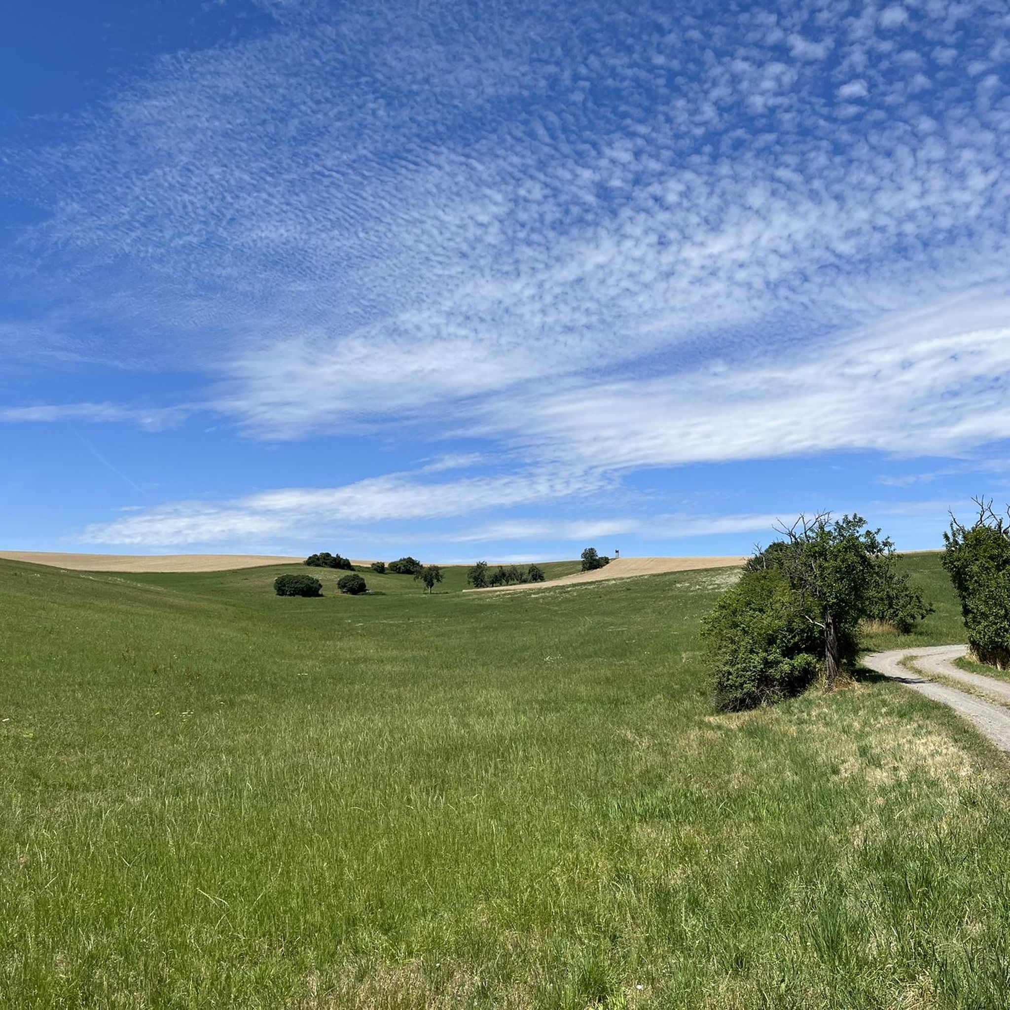
There are countless beautiful hiking trails in this forest area.
19
0

Beautiful location and beautiful nature +-17% increase and decrease 🏃👍
0
0
Many hiking trails intersect here towards Käseberg or Windischenbernsdorf.
0
0

Hill and crossroads in the forest. From here it goes downhill again.
2
0
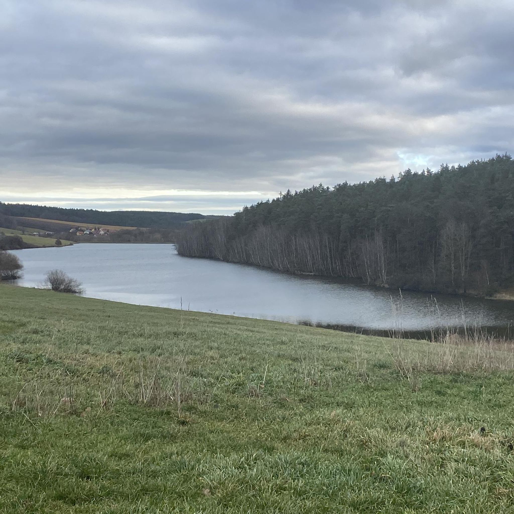
The Zoitzberg is the local mountain of Liebschwitz and Taubenpreskeln. It is 284 m above sea level. From here you have a magnificent view of Liebschwitz and the Heeresberg.
12
0
The vantage point with a bench is on the back of the mountain with a view towards Harpersdorf.
5
0

Down from the main road through the forest in the direction of Grosebersdorf, it's only worth going downhill.
2
0
Frequently Asked Questions
What kind of 'mountain peaks' can I expect to find around Münchenbernsdorf?
The region around Münchenbernsdorf is characterized by rolling hills and elevated points rather than towering mountains. You'll find gentle slopes, forested areas, and viewpoints that offer expansive vistas of the Thuringian landscape. The town itself sits at an elevation of 325 meters above sea level, and the 'peaks' are typically elevated areas providing scenic outlooks and recreational opportunities.
Which are the most popular elevated points or viewpoints in the area?
Among the most popular spots is View from Zoitzberg, which offers magnificent views of Liebschwitz and the Heeresberg from its 284-meter elevation. Another well-regarded location is Veitsberg (215 m), known for its historical significance and views over Wünschendorf.
Are there family-friendly trails or viewpoints near Münchenbernsdorf?
Yes, several spots are suitable for families. The View from Zoitzberg is categorized as family-friendly and includes a rest area. The Forest Path in Vogtland also offers numerous hiking trails through a forest area that are enjoyable for families. Additionally, the View from Tümmelsberg is a family-friendly viewpoint with a bench to relax and enjoy the scenery.
What kind of hiking opportunities are available around Münchenbernsdorf?
The region offers a variety of hiking trails through fields, forests, and charming villages. You can explore areas like the Forest Path in Vogtland, which is known for its countless beautiful trails. For more structured routes, consider the hiking guide around Münchenbernsdorf, which includes routes like the 'Shelter at the Stone Table – At Kamphausen Shelter loop'.
Can I go cycling or mountain biking near these elevated points?
Absolutely. The rolling hills and green meadows around Münchenbernsdorf are ideal for cycling and mountain biking. You can find various routes in the cycling guide and the MTB trails guide around Münchenbernsdorf. These guides feature routes of varying difficulties, such as the 'Zeitzgrund Bridge (A4) – Papiermühle Zeitzgrund loop' for mountain biking or the 'Münchenbernsdorf Town Hall – Schöna Reservoir loop' for touring bicycles.
Are there any historical sites or points of interest among the peaks?
Yes, Veitsberg (215 m) holds historical significance. It was populated in prehistoric times due to its strategic location and influenced the settlement and construction of nearby monasteries. You'll find a memorial stone for the victims of the First World War there, along with views of the church of St. Veit.
What natural features can I expect to see while exploring the area?
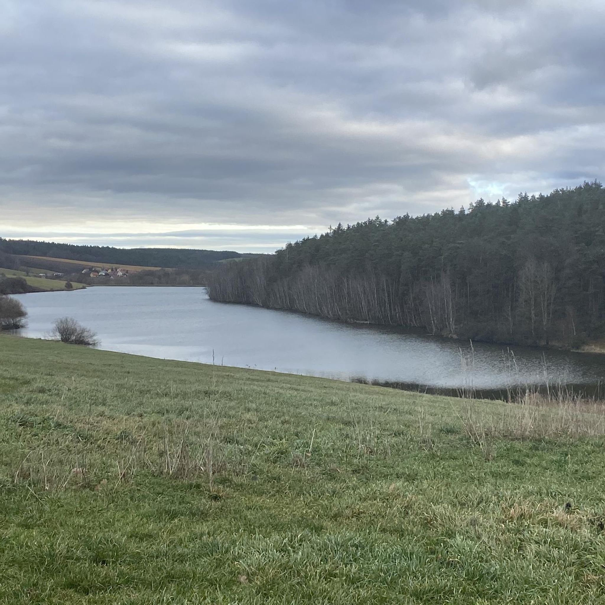
The region boasts a mix of natural beauty, including extensive forests like Eichigt and Schwarze Holz, green meadows, and the Görlitzbach creek. You'll also find natural swimming ponds, such as the Mahlteich, which has been used for bathing since the 18th century. Elevated points like Bockberg offer views through leafless trees in autumn and winter.
What is the best time of year to visit the elevated points around Münchenbernsdorf?
The rolling hills and forests are beautiful year-round. Spring and summer are excellent for hiking and cycling through green landscapes. Autumn offers stunning foliage, and in winter, some viewpoints like Bockberg provide beautiful views through the leafless trees.
Are there any places to rest or get refreshments near the viewpoints?
Yes, the View from Zoitzberg features a great rest area and a refuge. The broader area, including Hohe Reuth (another notable elevated point), is known to have a hotel-restaurant, providing options for visitors to rest and enjoy the surroundings.
What do visitors enjoy most about the elevated points around Münchenbernsdorf?
Visitors particularly appreciate the expansive and wonderful views offered from various elevated points, such as the View from Zoitzberg and the View from Tümmelsberg. The peaceful atmosphere, the well-maintained rest areas, and the opportunity to explore countless hiking trails through picturesque forests like the Forest Path in Vogtland are also highly valued.
Are there any less-known or 'hidden gem' elevated points worth exploring?
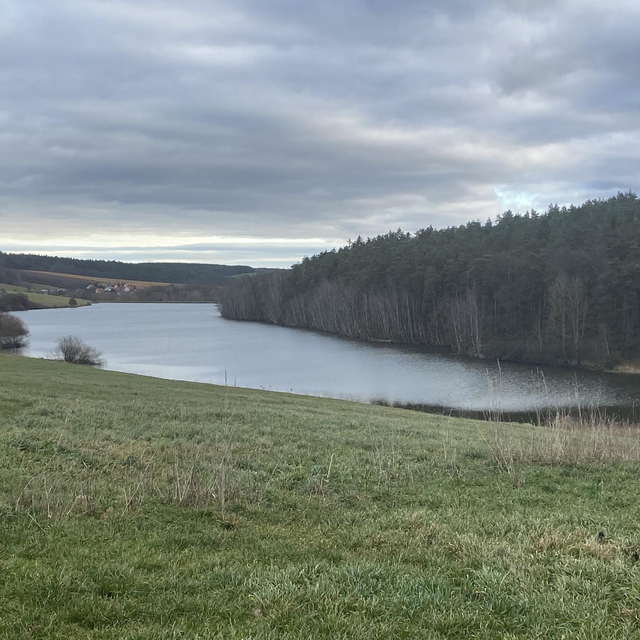
While not as frequently highlighted, the View from Tümmelsberg is described as a beautiful vantage point that can be hard to find for the uninitiated. It's located on the highest elevation in the area, offering a wide view and tranquility from a small path leading to a bench.
Most popular routes around Münchenbernsdorf
Most popular attractions around Münchenbernsdorf

Get inspired with the komoot mobile app


Explore more
See even more amazing summits around Münchenbernsdorf with these guides:
