The 5 Most Amazing Peaks around Giengen an der Brenz
Best mountain peaks around Giengen an der Brenz are found within the Swabian Alb, a low mountain range characterized by hills, valleys, and elevated viewpoints. The region offers several high points for hiking and nature exploration. Giengen an der Brenz is situated at the edge of this landscape, with the Brenz River adding to its natural features. This combination creates diverse terrain for outdoor activities.
Best mountain peaks around Giengen an der Brenz
- The most popular mountain peak is Knillberg…
Last updated: September 3, 2026
Knillberg
Highlight • Summit
Translated by Google •
Tip by

Highest Point in Dillingen District
Highlight • Summit
Translated by Google •
Tip by

Sign up now to discover places like this
Get recommendations on the best single tracks, peaks, & plenty of other exciting outdoor places.
Sign up for free
Eisbühl Summit Cross and Valley View
Highlight • Summit
Translated by Google •
Tip by

Brandhau (577 m)
Highlight • Summit
Helpful if you want to arrange a meeting point or find yourself in a difficult situation.
Translated by Google •
Tip by

Rehberg Summit
Highlight • Summit
Translated by Google •
Tip by

Start today with a free account
Your next adventure awaits.
Login or Signup
Popular around Giengen an der Brenz
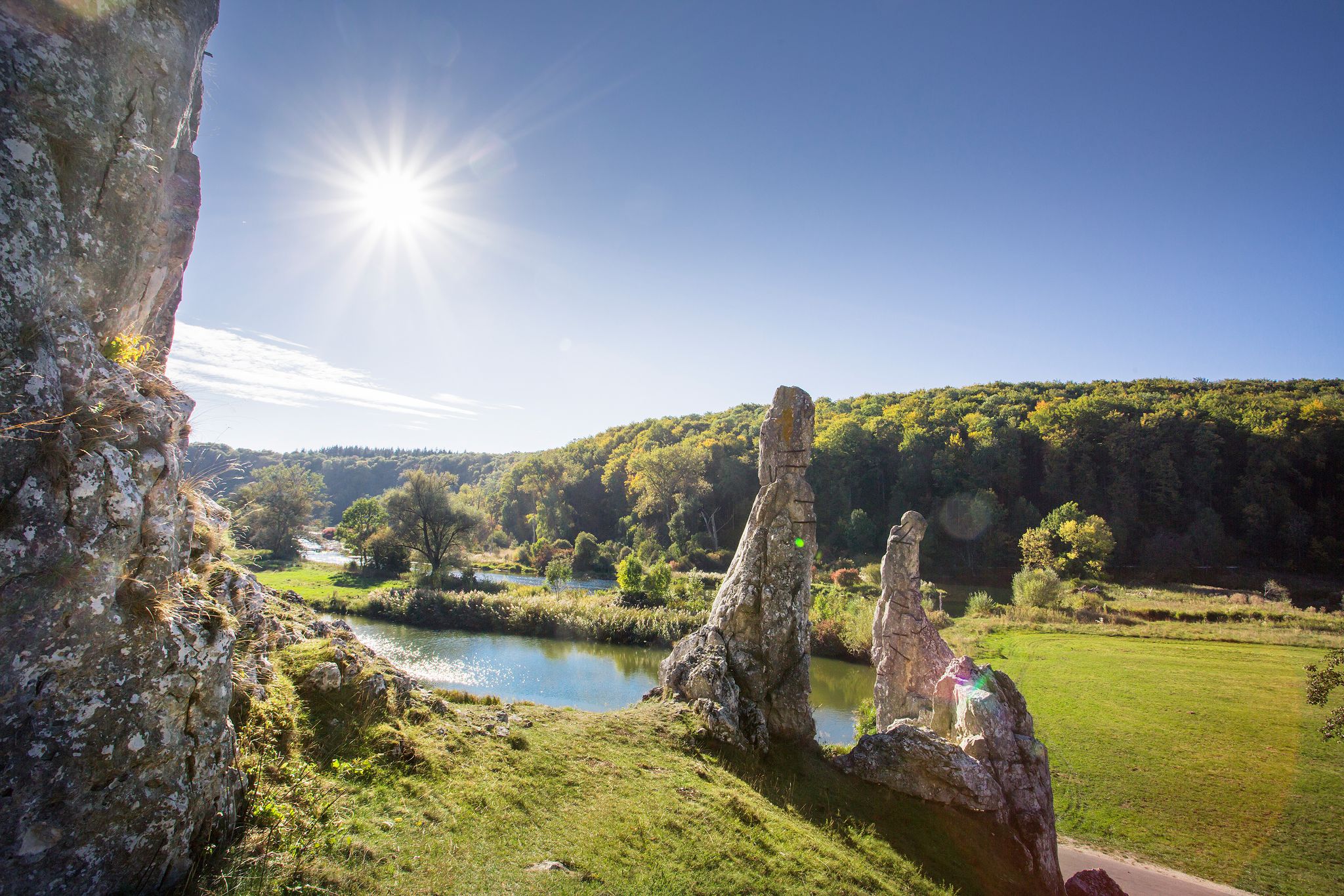
Picturesque valleys on Germany’s Württemberg Valley Cycle Path
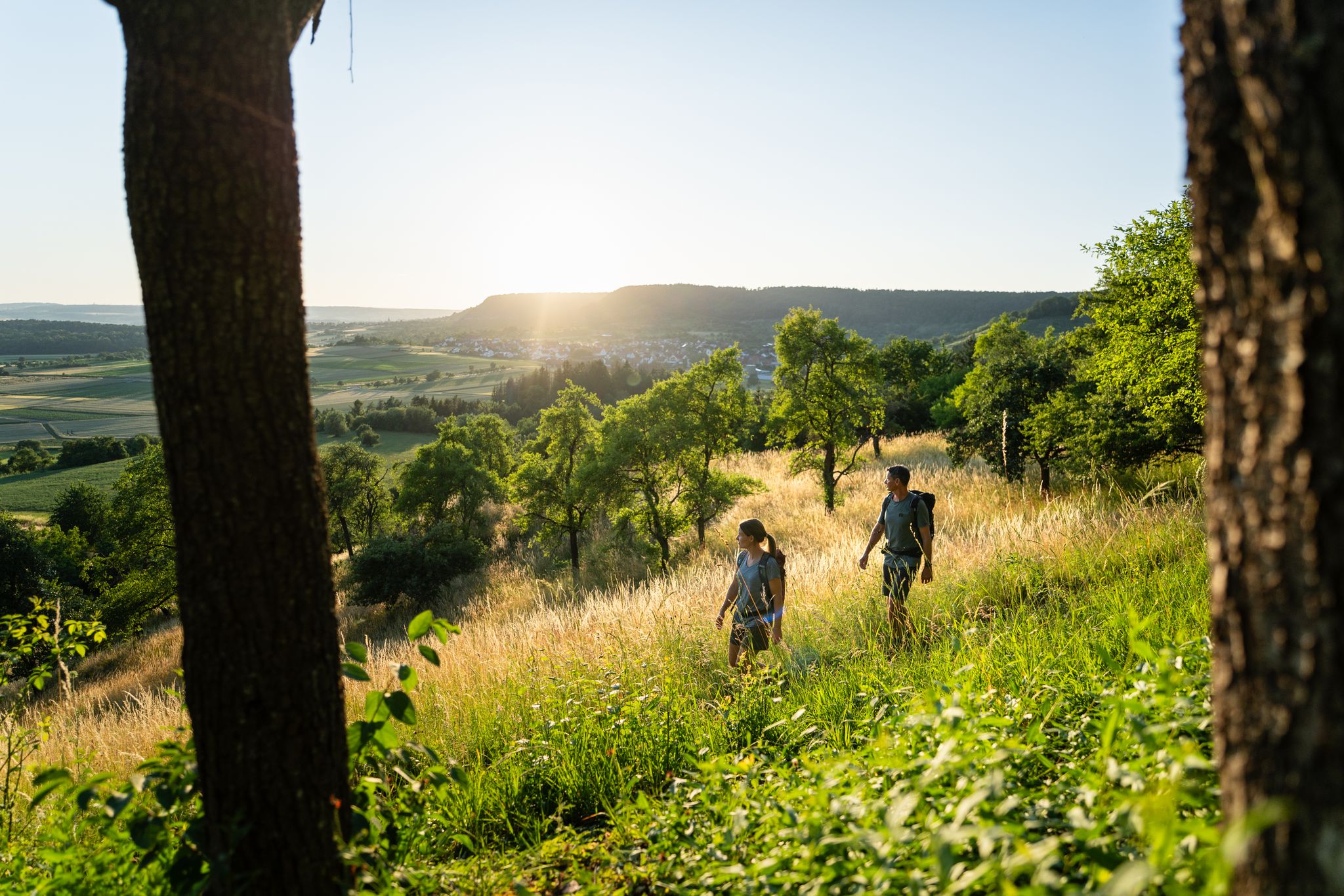
6 Long-Distance Hikes for Your Escape to the Swabian Alb

Discover premium and quality long-distance hiking in southern Germany
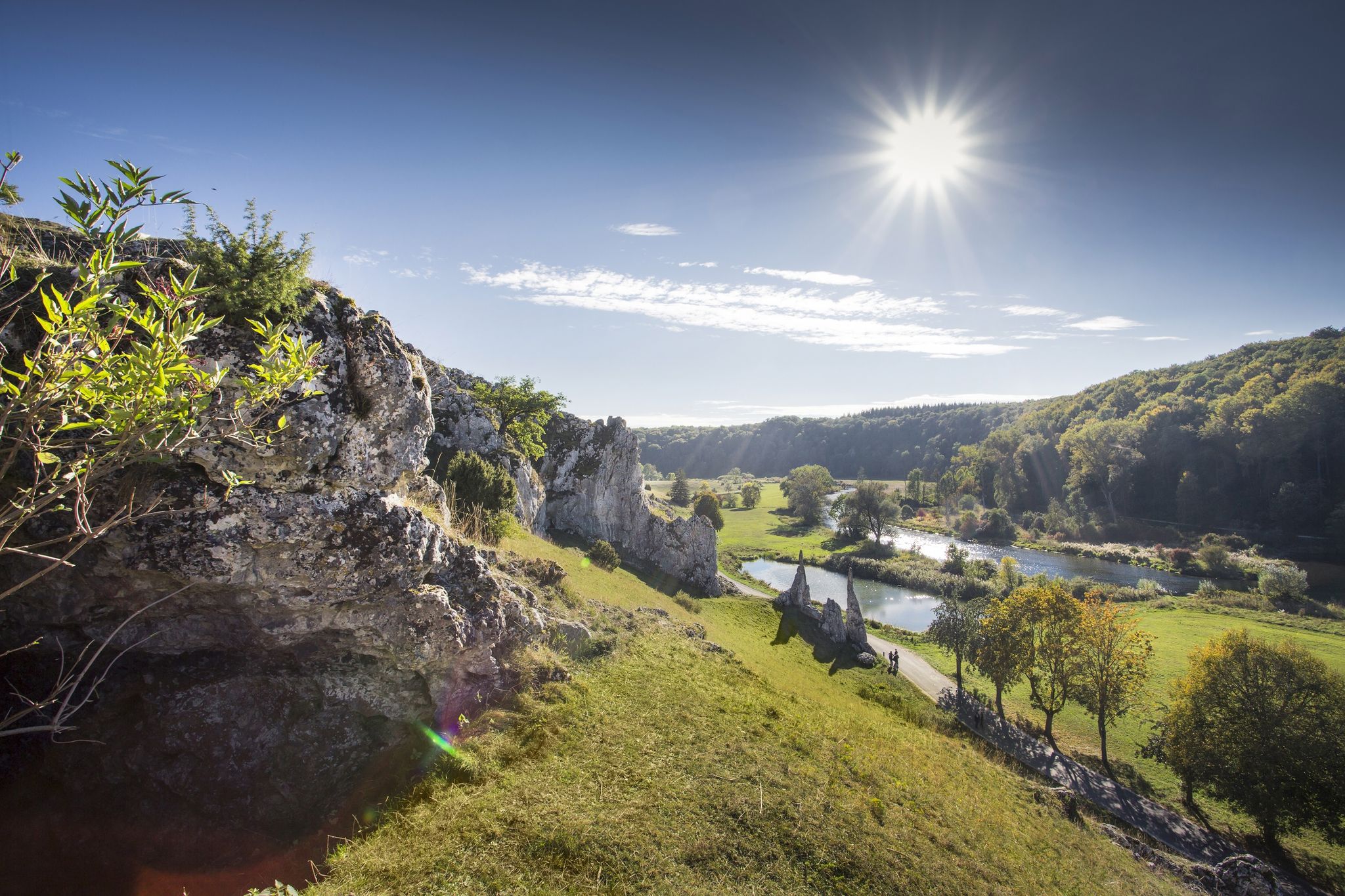
Albtäler Cycle Tour — discover the beautiful valleys of the Swabian Jura
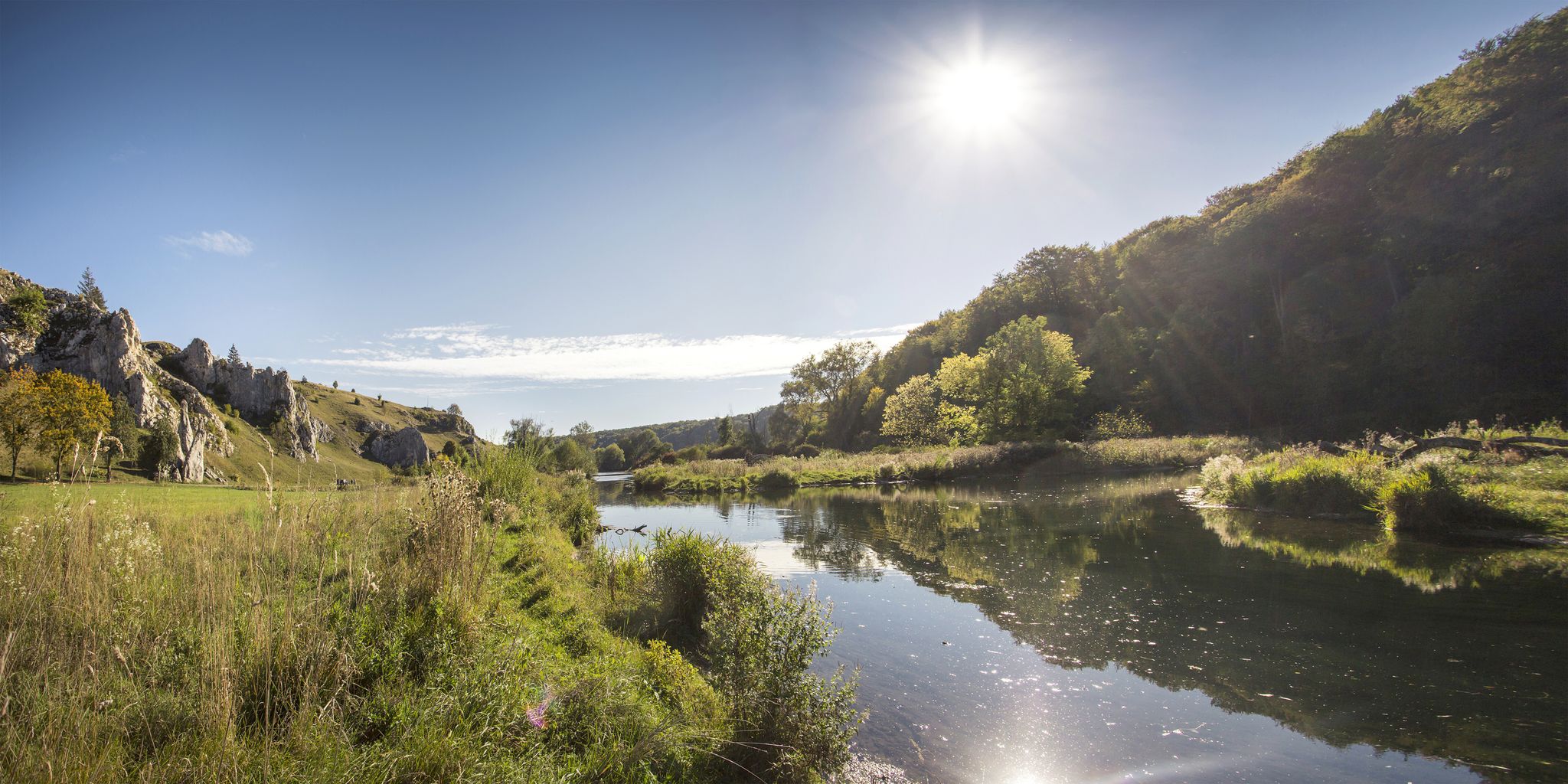
Albtäler Cycle Tour — discover the beautiful valleys of the Swabian Jura
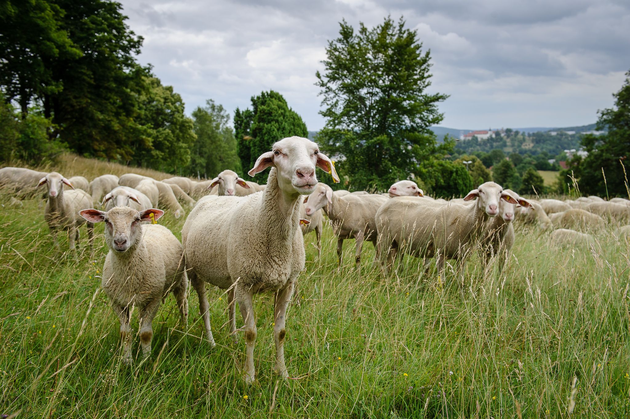
Counting sheep on the Albschäfer Trail
Counting sheep on the Albschäfer Trail
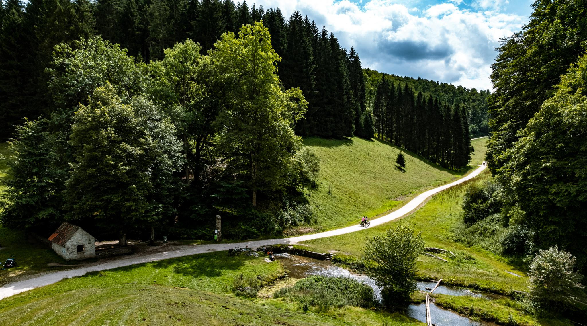
On the Albtäler cycle path through the most beautiful valleys of the Swabian Alb
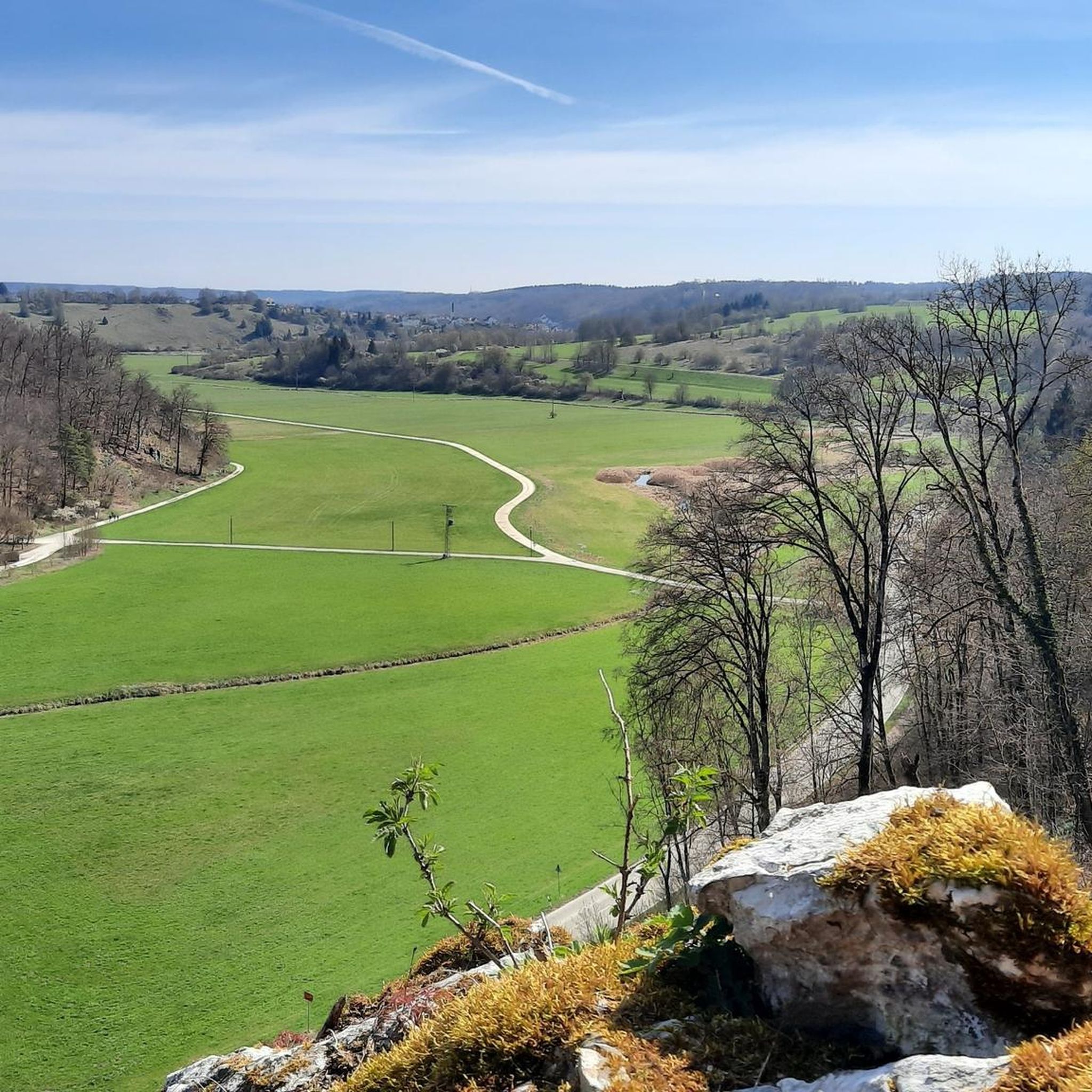
Hiking around Giengen an der Brenz
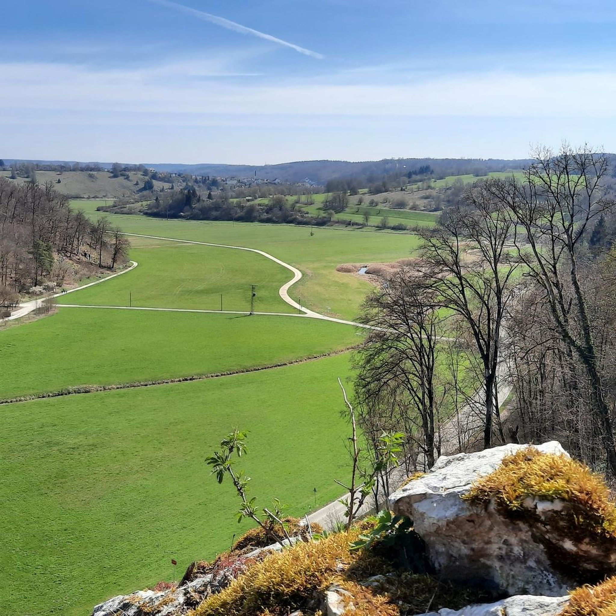
Cycling around Giengen an der Brenz
Other adventures around Giengen an der Brenz


Tips from the Community

A summit you could easily skip 😆
0
0

A junction point with UTM coordinates... Helpful if you want to arrange a meeting point or find yourself in a difficult situation.
0
0


At an altitude of 601 meters above sea level, the Rehberg is located in the Heidenheim district on the border with the municipality of Steinheim am Albuch
0
0
Nice part of the Meteor Crater circular hiking trail
0
0
Is there something missing? A bench.
1
0

Great view
1
0

Frequently Asked Questions
What kind of mountain peaks and elevated points can I explore around Giengen an der Brenz?
The region around Giengen an der Brenz is characterized by the Swabian Alb, a low mountain range with picturesque hills, valleys, and elevated viewpoints. You'll find distinctive high points like the Knillberg, known for its geological significance, and the Eisbühl Summit Cross and Valley View, offering panoramic vistas. Other notable spots include the Albuch ridge and the Rehberg Summit.
Are there any unique geological or historical sites among the peaks?
Yes, the Knillberg provides an excellent vantage point to observe the geological uniqueness of the Steinheim Basin, which was formed by a meteorite impact approximately 15 million years ago. This area is part of the Meteorkraterrundwanderweg (Meteor Crater Circular Hiking Trail), offering insights into Earth's history.
What is the highest point in the Dillingen district near Giengen an der Brenz?
The Highest Point in Dillingen District is located at 610 meters above sea level in the Zöschinger Forest. It marks the highest elevation in the Dillingen district and is situated on a hill in the middle of the forest.
What are the best times of year to visit the mountain peaks in this region?
The Albuch ridge, a key feature of the local landscape, is particularly recommended for hiking in spring and autumn. During these seasons, the meadows display lush green or vibrant autumn colors, creating a beautiful backdrop for walks and tours.
Are there family-friendly hiking options around the peaks?
Many areas within the Swabian Alb and the Lone Valley offer routes suitable for families. For example, the Highest Point in Dillingen District is categorized as family-friendly. The Lone Valley itself has pathways leading to scenic overlooks and historical sites like the Charlottenhöhle cave and the Archäopark Vogelherd, which can be explored with children.
What outdoor activities can I do near these mountain peaks?
Beyond hiking to the various summits, you can enjoy a range of outdoor activities. The region offers diverse cycling routes, including those along the Brenz River, as well as gravel biking opportunities. For more detailed hiking options, you can explore easy hikes around Giengen an der Brenz, or discover cycling routes and gravel biking trails in the area.
What can I expect from the Rehberg Summit?
The Rehberg Summit, at an altitude of 601 meters above sea level, is located in the Heidenheim district on the border with the municipality of Steinheim am Albuch. While not a dramatic peak, it offers an elevated perspective over the landscape and is a good point for views.
Are there any circular hiking trails that include elevated viewpoints?
Yes, the Albschäferweg, an award-winning circular hiking trail, traverses typical Swabian Alb landscapes and includes sections that offer elevated views, such as the 'Brenz Mountains from Giengen to Hermaringen' route. Additionally, the Eisbühl Summit Cross and Valley View has a casual mini round trip trail around the summit cross.
What is the Brandhau summit known for?
The Brandhau (577 m) is another notable summit in the area. It is recognized as a useful junction point with UTM coordinates, which can be helpful for navigation and meeting during hikes.
What do visitors enjoy most about the mountain peaks around Giengen an der Brenz?
Visitors appreciate the diverse natural beauty, from the geological uniqueness of the Steinheim Basin visible from Knillberg, to the beautiful all-round views offered by the Eisbühl Summit Cross and Valley View. The opportunity to meet Alb shepherds with their herds on idyllic meadows is also a highlight for many.
What kind of terrain can I expect on hikes to these elevated points?
The terrain typically involves a mix of forest paths, open meadows, and sometimes rocky sections, characteristic of a low mountain range. Many routes are categorized as intermediate difficulty, offering a good balance for various skill levels, with some challenging sections available for more experienced hikers.
Most popular routes around Giengen an der Brenz
Most popular attractions around Giengen an der Brenz

Get inspired with the komoot mobile app


Explore more
See even more amazing summits around Giengen an der Brenz with these guides:
