The 4 Most Amazing Peaks around Bad Lauchstädt
Best mountain peaks around Bad Lauchstädt are situated in a region known for its picturesque landscapes rather than prominent mountain peaks. The town, officially Goethestadt Bad Lauchstädt, is located at an elevation of approximately 114 to 124 meters above sea level, on the edge of the Querfurter Platte. The area offers diverse hiking opportunities with moderate elevation changes. It is appreciated for its cultural significance and green landscapes.
Best mountain peaks around Bad Lauchstädt
- The most popular mountain peaks is…
Last updated: June 27, 2026
Kellerberg
Highlight • Summit
Translated by Google •
Tip by

Ascent to Granauer Berg
Highlight (Segment) • Trail
Translated by Google •
Tip by

Sign up now to discover places like this
Get recommendations on the best single tracks, peaks, & plenty of other exciting outdoor places.
Sign up for free
Krankenberg Hill
Highlight • Summit
Translated by Google •
Tip by
Königstuhl
Highlight (Segment) • Summit
Paths perfectly signposted
Translated by Google •
Tip by

Start today with a free account
Your next adventure awaits.
Login or Signup
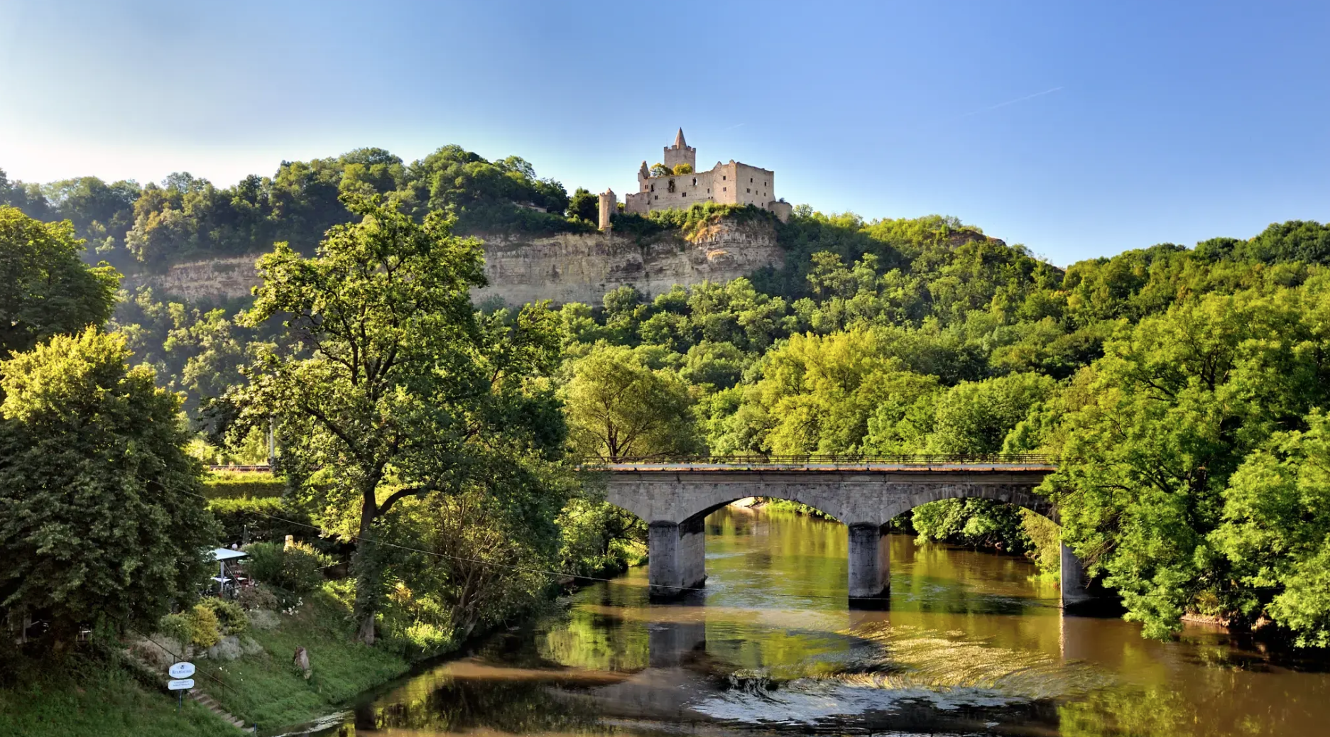
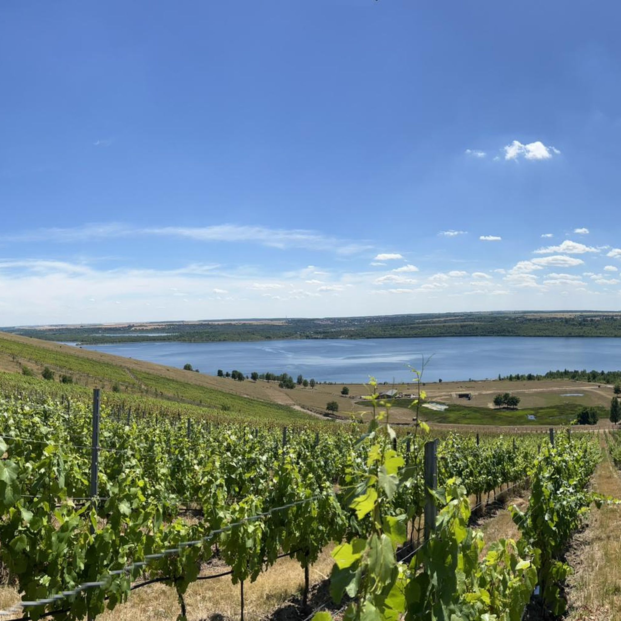
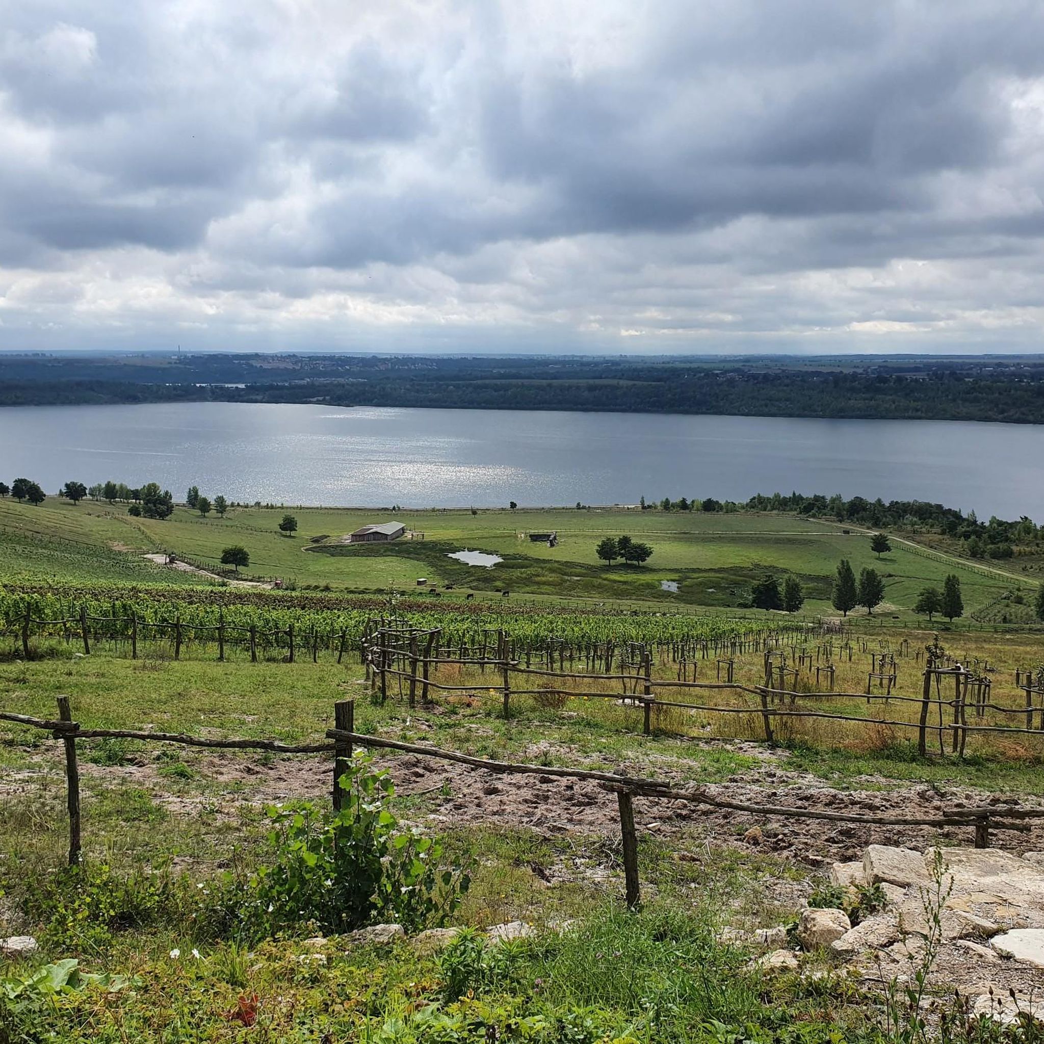
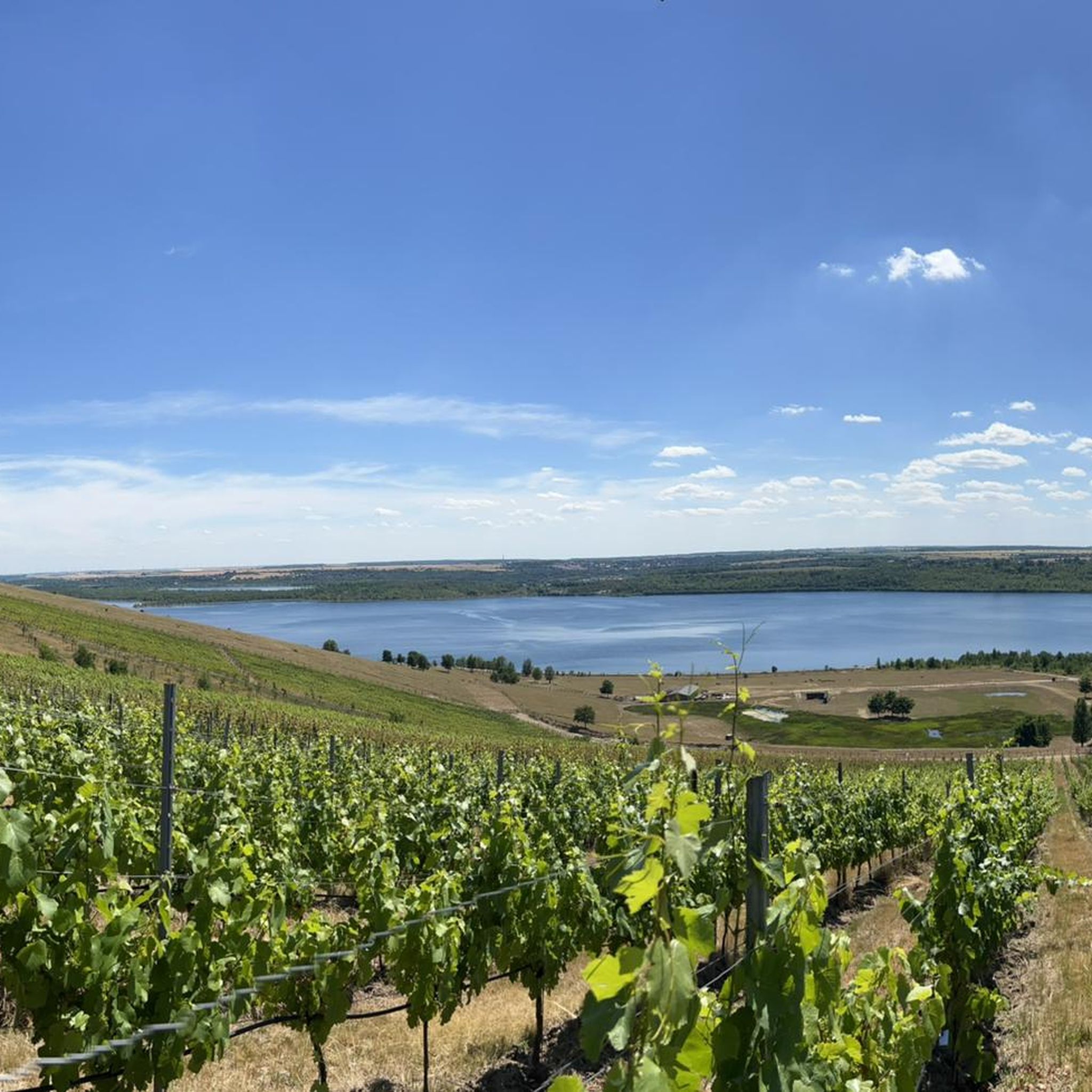
Other adventures around Bad Lauchstädt

Tips from the Community


As of September 2023: the forest is gone!
1
0

On my Urwhisper Tour, the Kellerberg is the Red Mountain. The mountains in the heath have served as refuge and clod places for thousands of years.
16
0

Under the Kellerberg, a bat cellar!
1
0
It was sure to be nice. The forest is currently badly damaged.
2
0

Very nice hiking trails. Everything is signposted very nicely
0
0
Frequently Asked Questions
What are some popular elevated points or summits to explore around Bad Lauchstädt?
The area around Bad Lauchstädt offers several interesting elevated points. Kellerberg is a popular summit known as the Red Mountain on the Urwhisper Tour, historically serving as a refuge. Another notable spot is Krankenberg Hill, where cranes historically landed and rested. Visitors also enjoy Königstuhl, which provides a great region for hiking with well-signposted paths and a wonderful landscape.
Are there family-friendly hiking options around Bad Lauchstädt's elevated points?
Yes, the region offers family-friendly options. The Kellerberg is categorized as family-friendly. Additionally, the area is known for its 'Märchenwald' (Fairytale Forest) with stations based on well-known fairytales, which is particularly popular with families for leisurely walks.
What kind of natural features can I expect to see near the summits in Bad Lauchstädt?
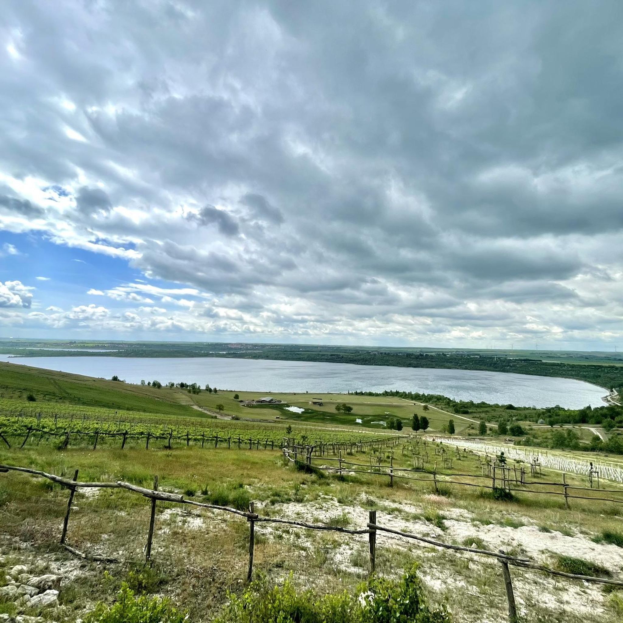
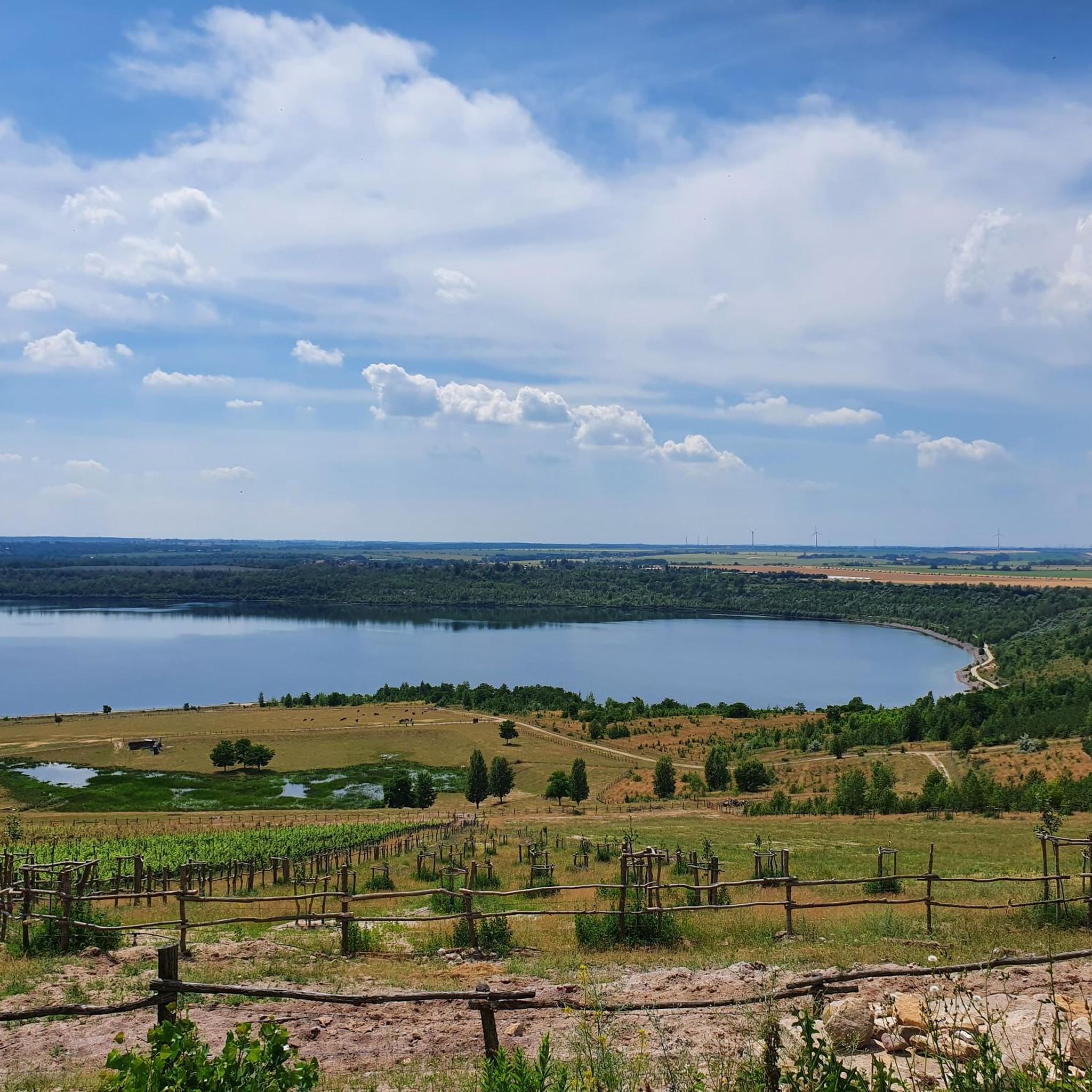
While Bad Lauchstädt is not characterized by prominent mountain peaks, the elevated points offer views and natural settings. For instance, Ascent to Granauer Berg provides a beautiful view towards Halle. The region also features picturesque landscapes, including forests and the large Geiseltalsee, a former mining area transformed into a recreational center.
What outdoor activities can I do near the elevated points around Bad Lauchstädt?
The area around Bad Lauchstädt is excellent for various outdoor activities, particularly hiking and running. You can find numerous routes, such as the 'Geiseltal Express stop – Vineyard loop from Klobikau' or the 'Bad Lauchstädt Spa Park – Bad Lauchstädt Castle loop from Bad Lauchstädt'. For more detailed options, explore the Hiking around Bad Lauchstädt and Running Trails around Bad Lauchstädt guides.
Are there any challenging hikes or beginner-friendly routes near Bad Lauchstädt's elevated points?
The hiking trails around Bad Lauchstädt generally involve moderate elevation changes, with popular routes showing gains of 10m, 20m, 60m, and 100m. Many routes are suitable for different fitness levels. For easier options, you can find routes like the 'Hiking loop from Klobikau' which is categorized as easy. For a broader selection of easy hikes, refer to the Easy hikes around Bad Lauchstädt guide.
What is the best time to visit Bad Lauchstädt for hiking and exploring its elevated points?
The region's green landscapes and hiking opportunities can be enjoyed throughout the warmer months. Spring and autumn offer pleasant temperatures for exploring the trails and enjoying the natural beauty, including walks through vineyards and forests. The spa gardens also provide well-maintained paths for leisurely strolls.
What historical or cultural significance do the elevated points around Bad Lauchstädt hold?
Bad Lauchstädt is known as 'Goethestadt Bad Lauchstädt' due to its cultural significance. Some elevated points have historical context; for example, Kellerberg has served as a refuge for thousands of years. The region's overall appreciation stems from its cultural heritage and green landscapes.
Are there good viewpoints from the elevated points in the Bad Lauchstädt area?
Yes, several elevated points offer good views. The Ascent to Granauer Berg, for instance, provides a beautiful view towards Halle. Königstuhl is also noted for its wonderful landscape and nature, suggesting scenic vistas.
What do visitors say about the hiking experience around Bad Lauchstädt?
Visitors appreciate the well-signposted paths and the wonderful landscape. For example, regarding Königstuhl, visitors have noted 'great region for hiking' and 'Wonderful landscape, great nature. The paths are also very nice.' The komoot community has shared 29 photos and given 105 upvotes for the elevated points in the area, indicating a positive experience.
Can I find information about public transport or parking near hiking trails in Bad Lauchstädt?
While specific details on public transport to individual trailheads are not provided, Bad Lauchstädt is located in the Saalekreis district. For parking, it's generally advisable to check local signage or official town information for designated parking areas near popular attractions like the spa gardens or trail starting points. Many routes, such as those around the Geiseltalsee, are accessible by car.
Are there any hidden gem hikes or less-known elevated points in the Bad Lauchstädt area?
While the main elevated points like Kellerberg, Krankenberg Hill, and Königstuhl are well-regarded, the broader region offers diverse hiking opportunities through picturesque landscapes. Exploring the various routes listed in the Hiking around Bad Lauchstädt guide might lead you to less-trafficked paths and local favorites.
What is the elevation range of the elevated points around Bad Lauchstädt?
Bad Lauchstädt itself is situated at an elevation of approximately 114 to 124 meters above sea level. The elevated points and hiking trails in the surrounding area typically involve moderate elevation changes, with popular routes showing gains of 10m, 20m, 60m, and 100m, rather than significant mountain heights.
Most popular routes around Bad Lauchstädt
Most popular attractions around Bad Lauchstädt

Get inspired with the komoot mobile app


Explore more
See even more amazing summits around Bad Lauchstädt with these guides:
