The 6 Most Amazing Peaks around Donndorf
Best mountain peaks around Donndorf, a village in Thuringia, Germany, are characterized by notable hills and low mountain ranges rather than towering mountains. Situated at approximately 120 meters elevation, the region offers opportunities for hiking and scenic views. The Kyffhäuser Low Mountain Range, reaching about 400 meters, is a significant natural highlight known for panoramic vistas. These elevated areas provide enjoyable hiking trails and picturesque outlooks across the Thuringian countryside.
Best mountain peaks around Donndorf
- The most popular mountain peaks…
Last updated: August 21, 2026
Nebra Sky Disc discovery site
Highlight • Historical Site
Translated by Google •
Tip by

Enzianberg
Highlight • Summit
Translated by Google •
Tip by

Sign up now to discover places like this
Get recommendations on the best single tracks, peaks, & plenty of other exciting outdoor places.
Sign up for free
Galgenberg, Bottendorf Hills
Highlight • Natural Monument
Translated by Google •
Tip by

Enzianberg Summit and Carved Wooden Bench
Highlight • Summit
in any case with a SUPER BANK :) from a wooden sculpture master from the region (Wiehe).
Translated by Google •
Tip by

Sattlersberg
Highlight • Natural
the entertaining footpath over the suspension bridge, covering a distance of approximately 180 …
Translated by Google •
Tip by

Sign up for free to discover even more peaks around Donndorf.
Sign up for free
Already have an account?
Start today with a free account
Your next adventure awaits.
Login or Signup
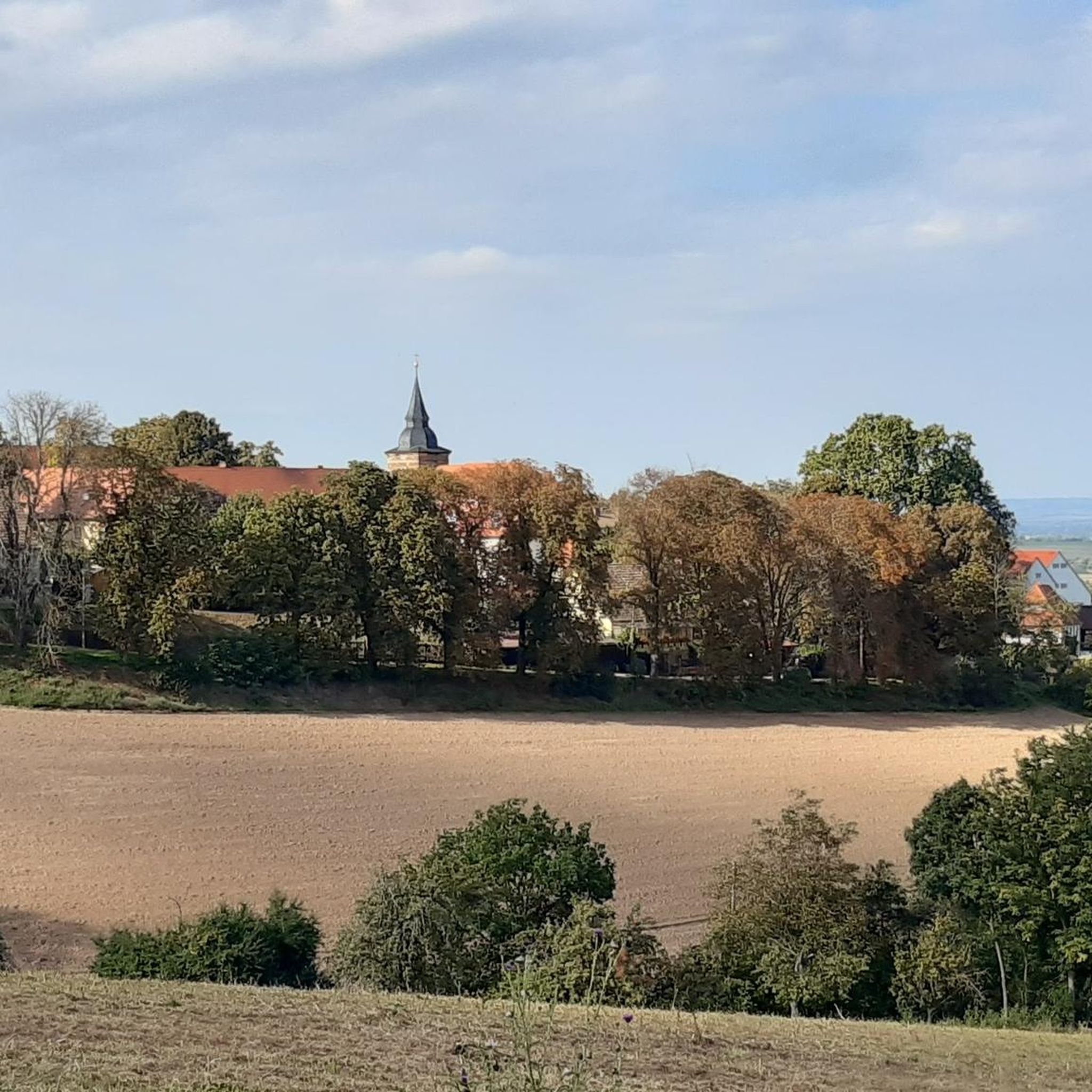
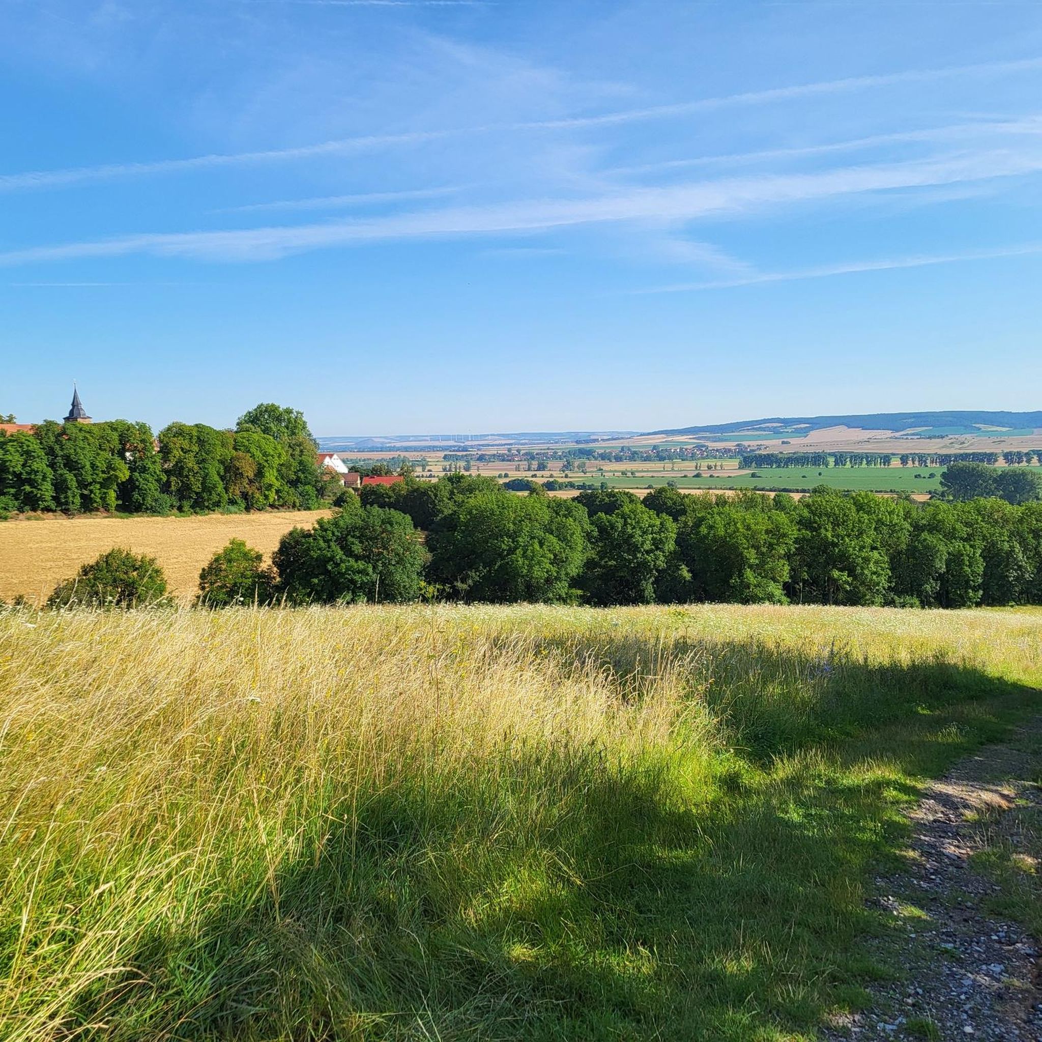
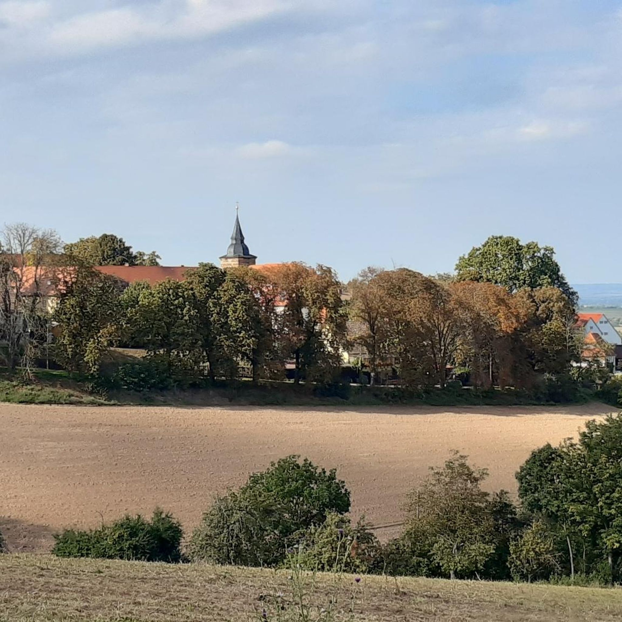
Tips from the Community

Hohe Schrecke: This gem lies inconspicuously on the "Touringen Stempelweg between trails 118 and 119." It is the entertaining footpath over the suspension bridge, covering a distance of approximately 180 meters. All trails are in good, natural condition and are very well signposted. Hazards: Many rotten trees.
0
0

A magnet for cyclists and day-trippers, just don't forget the old hiking trails, otherwise you'll lose the hikers.
14
1
Well, it is probably the highlight of the region, but there are also opinions that claim the site is somewhere else.😉
13
1

really tough climb without ebike, the bench is in the right place
0
0

The observation tower is just great. Magnificent foresight. The place where the sky disk was found, also known as the eye of the sky, was beautifully staged.
15
1

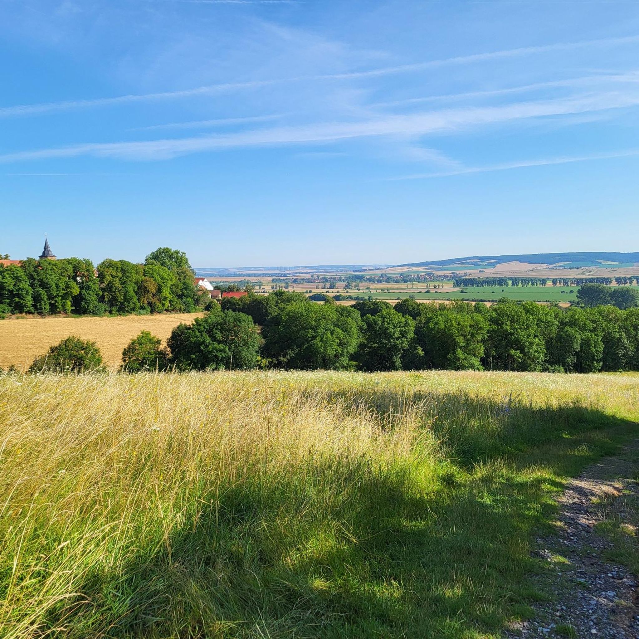
The Bottendorfer Hills are a small mountain range that is under nature protection due to its dry grassland and special flora. The highest point is the 206 meter high Galgenberg.
2
0

The Enzianberg 333m, one of the many elevations of the Hohe Schrecke on the tours between Heldrungen, Braunsroda, the suspension bridge in Bärental and Lossa, Garnbach, Langenroda, Donndorf Monastery, Kleinroda. From the suspension bridge, the ascent is long and strenuous. It's better if you come from the other direction. A small wooden bench to take a breather can also be found between the trees.
0
0

A lot of thought has been given to the design of this place and not just one situation has been reconstructed.
8
0
Frequently Asked Questions
What are the most notable elevated points around Donndorf?
While Donndorf is not known for towering mountains, several significant hills and low mountain ranges offer excellent views and hiking opportunities. Key highlights include the Nebra Sky Disc discovery site with its 30-meter observation tower, Galgenberg, Bottendorf Hills, which is the highest point of the Bottendorf Hills at 206 meters, and Enzianberg, a 333-meter summit within the Hohe Schrecke ridge.
Are there any historical or cultural sites among the peaks near Donndorf?
Yes, the Nebra Sky Disc discovery site is a prominent historical landmark. It features a 30-meter-high observation tower near the actual discovery location of the Nebra Sky Disc, offering magnificent views and insights into an exciting archaeological story. The Kyffhäuser Low Mountain Range, though not directly adjacent, also hosts the Kyffhäuser Monument and Barbarossa Cave, adding cultural and historical dimensions to the region's natural appeal.
What kind of natural features can I expect to see on these elevated trails?
The region around Donndorf is rich in diverse natural features. For instance, Galgenberg, Bottendorf Hills is a nature protection area known for its unique dry grasslands and special flora. The Hohe Schrecke ridge, where Enzianberg is located, is celebrated for its natural beauty and diverse flora and fauna. You can also find viewpoints like Segelsberg Linden Tree and Viewpoint, which offers panoramic vistas of the surrounding countryside.
Are there family-friendly options for exploring the peaks around Donndorf?
Yes, several spots are suitable for families. The Nebra Sky Disc discovery site, with its observation tower, is listed as family-friendly and offers an engaging experience. The relatively gentle undulations of the Thuringian countryside mean many trails are accessible for various fitness levels, making them enjoyable for families.
What outdoor activities are available near Donndorf's elevated areas?
Beyond hiking, the region offers various outdoor activities. You can find numerous running trails, such as the 'Bottendorfer Mill loop from Donndorf,' which is about 10.6 km long. For cyclists, there are gravel biking routes like the 'View of the Unstrut Valley – Forest Trail in Hohe Schrecke loop from Gehofen' (22.1 km) and road cycling routes like the 'St. Andreas Church, Roßleben loop from Roßleben' (37.6 km). You can explore more options on the Running Trails around Donndorf, Gravel biking around Donndorf, and Road Cycling Routes around Donndorf guide pages.
What is the best time of year to visit the peaks around Donndorf?
The region's hills and low mountain ranges are enjoyable throughout much of the year. Spring and autumn offer pleasant temperatures for hiking and vibrant natural scenery. Summer is also suitable, though it can be warmer. In winter, access to some areas, like the Nebra Sky Disc tower, might be blocked in bad weather, but the landscape can still be beautiful for those prepared for colder conditions.
Are there any viewpoints offering panoramic vistas?
Absolutely. The Nebra Sky Disc discovery site features a 30-meter observation tower with magnificent views, including the Nebra Arch. Additionally, Segelsberg Linden Tree and Viewpoint (191m) provides a striking elevation with a beautiful panoramic view of the surrounding fields and meadows. The Kyffhäuser Monument in the broader Kyffhäuser range also offers extensive vistas of the Thuringian flatlands.
What do visitors particularly enjoy about the peaks and elevated areas near Donndorf?
Visitors appreciate the scenic beauty and the opportunities for exploration. Many enjoy the rewarding views from spots like the Nebra Sky Disc discovery site. The natural tranquility of areas like the Hohe Schrecke ridge and the unique flora of the Bottendorf Hills are also highly valued. The komoot community has shared over 1200 photos and given 766 upvotes, highlighting the region's appeal for outdoor enthusiasts.
Can I find challenging hikes among the peaks near Donndorf?
While the region is characterized by hills rather than towering mountains, some routes can be quite strenuous. For example, the ascent to Enzianberg from the suspension bridge is described as 'long and strenuous.' These areas offer trails categorized as 'intermediate' or 'challenging,' providing a good workout for experienced hikers.
Are there any specific natural protection areas to be aware of?
Yes, the Galgenberg, Bottendorf Hills is a designated nature protection area. It is recognized for its dry grasslands and unique plant life, making it an important ecological site. Visitors are encouraged to stay on marked paths to help preserve these sensitive environments.
What is the highest point in the immediate vicinity of Donndorf?
The highest point directly mentioned in the vicinity is Enzianberg, which stands at 333 meters within the Hohe Schrecke ridge. The Galgenberg, Bottendorf Hills reaches 206 meters, and Segelsberg Linden Tree and Viewpoint is 191 meters above sea level.
Most popular routes around Donndorf
Most popular attractions around Donndorf

Get inspired with the komoot mobile app


Explore more
See even more amazing summits around Donndorf with these guides:
