The best walks and hikes around Krems II
4.5
(3428)
11,941
hikers
12
hikes
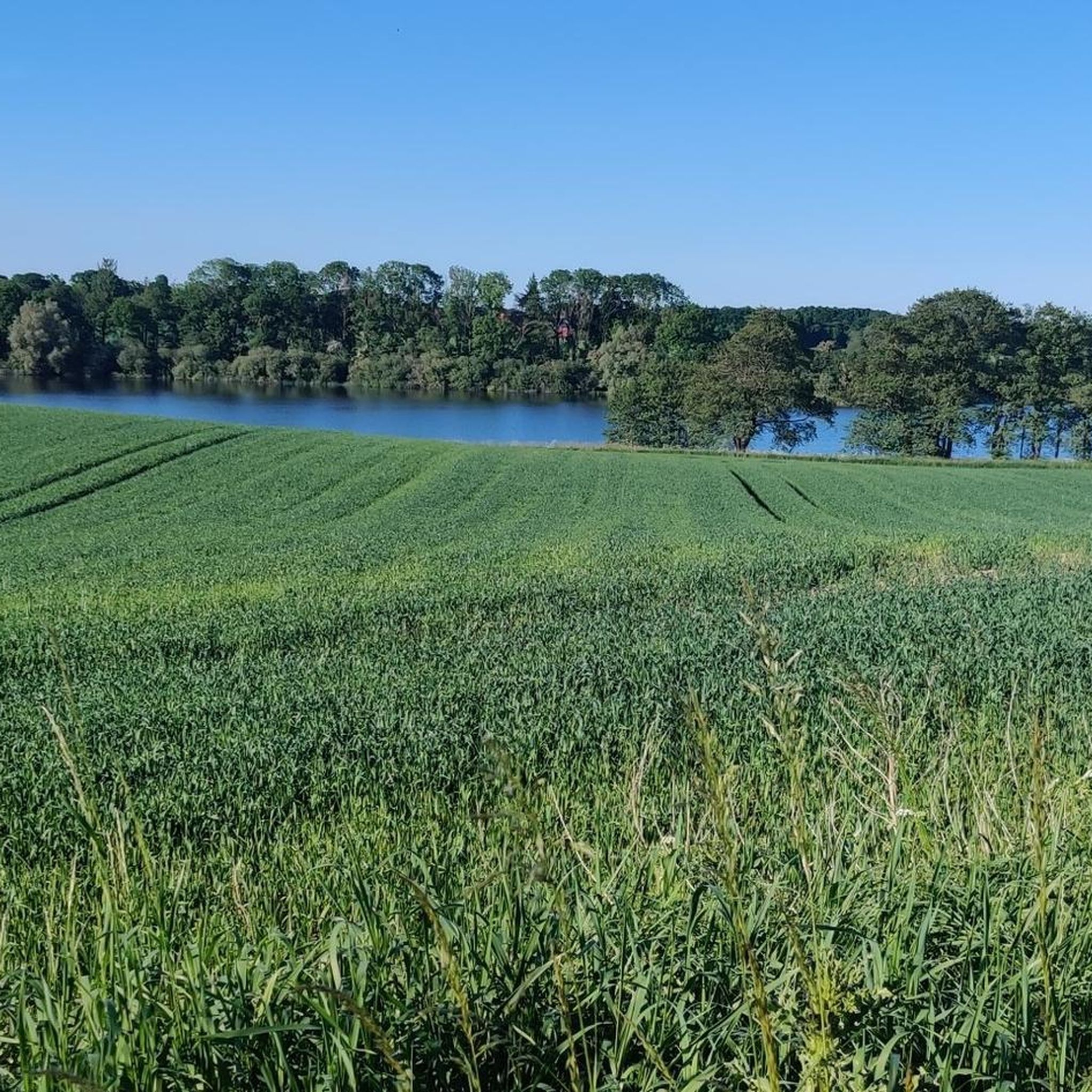
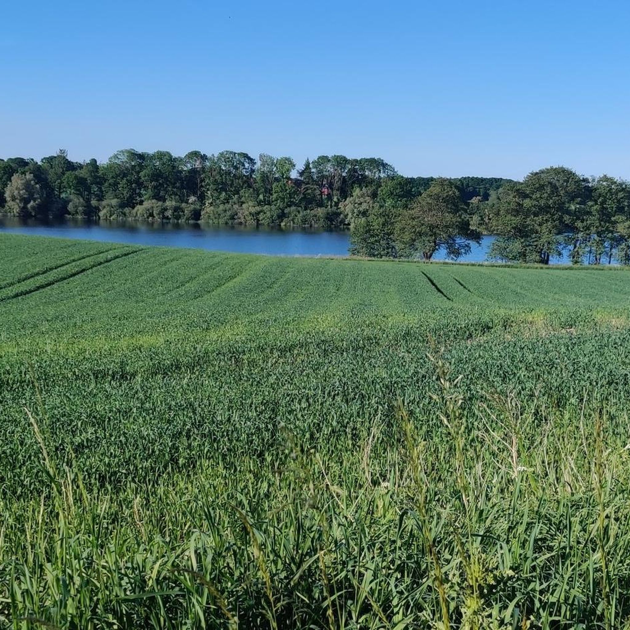
Hiking trails around Krems II traverse a landscape characterized by green forests, rolling hills, and significant lakes. The municipality is situated near the Großer Segeberger See and directly on the Wardersee, offering routes that combine woodland paths with lakeside views. This region provides varied terrain for outdoor activities.
Best hiking trails around Krems II
- The most popular hiking route is Lake Warder – Wardersee loop from Krems II, a 5.9 miles (9.4 km) trail that takes 2 hours 25…
Last updated: October 8, 2026
3.9
(19)
57
hikers
9.43km
02:26
50m
40m
Moderate hike. Good fitness required. Easily-accessible paths. Suitable for all skill levels.
3.7
(6)
33
hikers
5.24km
01:20
10m
10m
Easy hike. Great for any fitness level. Easily-accessible paths. Suitable for all skill levels.

3.7
(6)
34
hikers
4.28km
01:05
10m
10m
Easy hike. Great for any fitness level. Easily-accessible paths. Suitable for all skill levels.
4.3
(4)
18
hikers
15.5km
03:59
80m
80m
Moderate hike. Good fitness required. Easily-accessible paths. Suitable for all skill levels.
4.3
(3)
6
hikers
19.5km
05:01
90m
90m
Hard hike. Very good fitness required. Easily-accessible paths. Suitable for all skill levels.
Get access to more routes and recommendations from other explorers.
Already have an account?
Our route recommendations are based on thousands of hikes, rides, and runs completed by other people on komoot.
Start today with a free account
Your next adventure awaits.

Tips from the Community

Delicious grilled meat for after-tour barbecue!
0
0

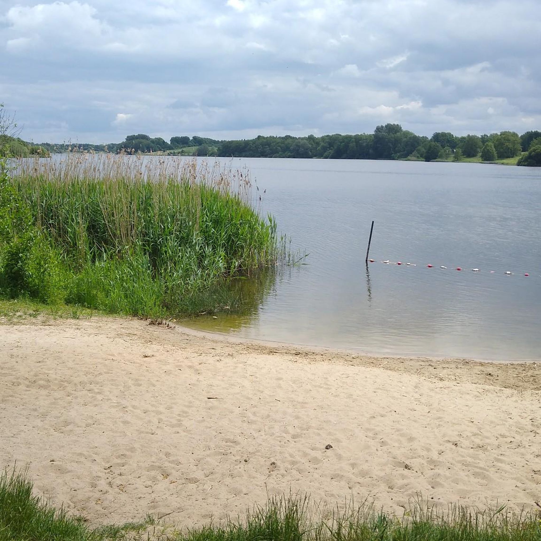
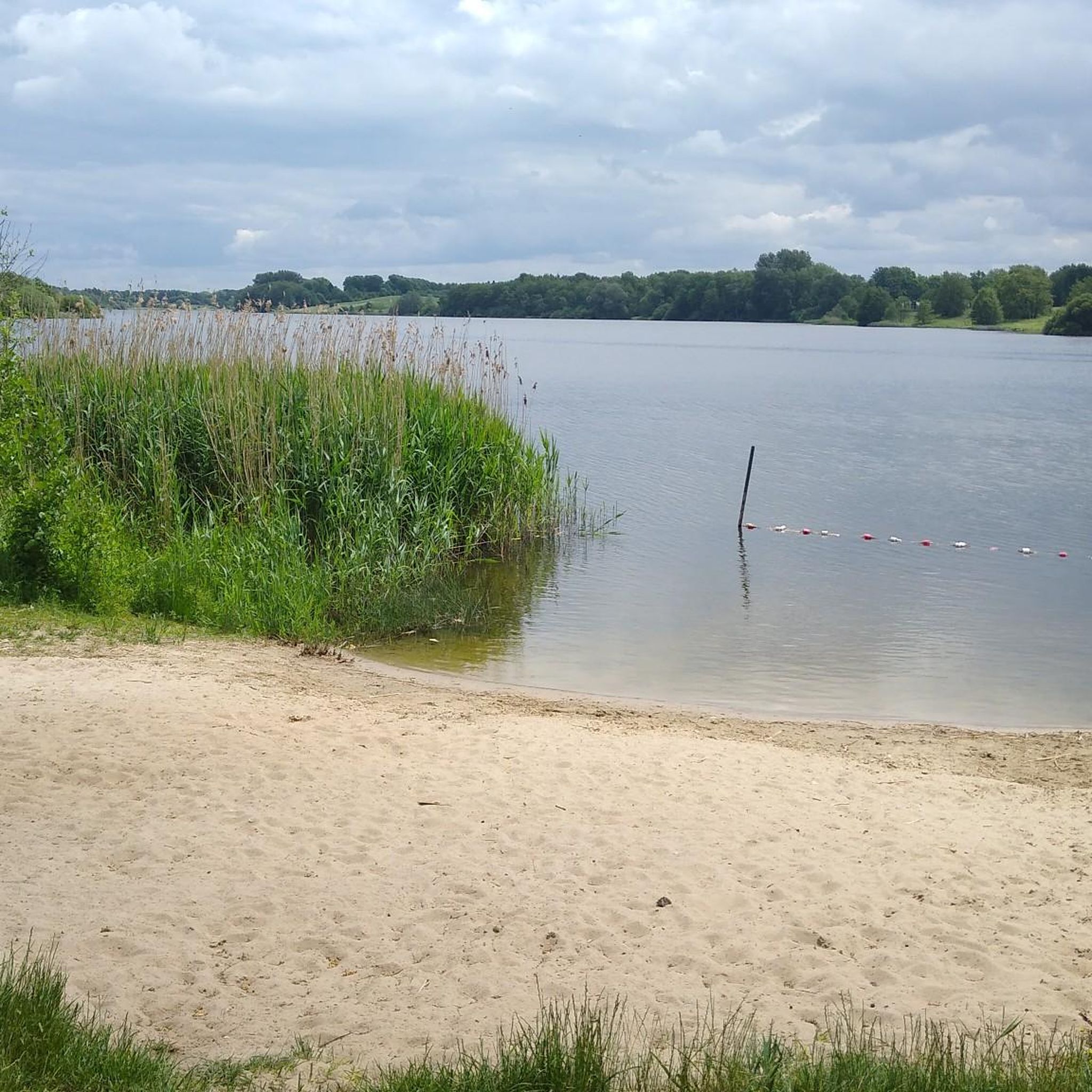
Lake Nehms offers a beautiful beach with real sand, a spacious, well-maintained green area, and a lovely wooden bathing jetty. The beach is free to use and there is no lifeguard on duty – ideal for nature-based swimming. In June, the water quality is exceptionally clean. Clearly demarcated non-swimmer and swimmer zones ensure safety.
6
0
On the northern shore of Lake Nehms, there are several designated dog bathing areas – here's one of them. A particularly convenient feature: They're protected by a reed-free zone, so your four-legged friend can splash around in the water undisturbed. Note: Fishing is prohibited year-round at the dog bathing areas 😅
2
0

The Warder Church is a parish church and was first documented around 1198. Its name derives from a peninsula in Lake Warder, where a chapel is said to have once stood. It is located in the municipality of Rohlstorf, directly on Lake Wadersee, and belongs to the Evangelical Lutheran parish of Warder. The present church is a parish church belonging to the Rohlstorf estate. A parish church, also called an estate church, is a village church located near an estate and under the patronage of the lord of the manor. Among other things, it is his responsibility to maintain the church building.
0
0
One of the oldest churches in the church district is Warder, founded around 1200. Its name is derived from a peninsula in Lake Warder, on which a chapel is said to have stood.
0
0
Aminomethylphosphonic acid (AMPA) is the main degradation product of glyphosate in the soil zone. AMPA has similar soil adhesion properties to glyphosate, but is considerably more stable. AMPA is degraded to carbon dioxide in soils and water. The half-life (DT50) for soils is 44 to 215 days, and for water bodies, it is 14 days.[1] The AMPA concentration was tested in 33 lakes in Schleswig-Holstein in 2008 and 2012 and was detected in 59% of the samples. The highest concentration was found in Lake Warder at 0.29 μg/L (November 2012), which exceeds the assumed drinking water precautionary limit of 0.1 μg/L several times over.
0
1
Federal Highway 432 crosses the lake in a west-east direction near the town of Warder. Wardersee is known for its exceptional abundance of fish. One of Schleswig-Holstein's native white-tailed eagle pairs nests on its shores. The fishing rights are leased to a fisherman. Around Wardersee are three former noble estates: Gut Wensin, Gut Rohlstorf, and Gut Pronstorf.
0
0
The privately owned Wardersee is crossed by the Trave River, its largest tributary. Another tributary is the Bißnitz River. One of the 15 largest lakes in Schleswig-Holstein, Wardersee is now around 45 hectares smaller than when it was surveyed in 1875. This is due to the development of the Trave River at the beginning of the 20th century, which lowered the lake's water level by one meter. This also explains the considerable expansion of the reed zone in some areas of the shoreline. The peninsula near the village of Warder, approximately 80 meters long and 55 meters wide, was an island until the Trave River was developed (around 1910). In the mid-19th century, remains of settlements were discovered on this site, dating to the period between 800 and 1150 AD. Among them are the remains of the episcopal manor house of Nezenna.
0
0
Frequently Asked Questions
What kind of landscape can I expect on the hiking trails around Krems II?
Hiking around Krems II offers a diverse landscape characterized by green forests, rolling hills, and significant lakes. You'll find paths winding through woodlands and along the shores of the Großer Segeberger See and the Wardersee, providing scenic views and varied terrain.
Are there many circular hiking routes in Krems II?
Yes, Krems II is well-suited for circular hikes. Many routes are designed as loops, allowing you to start and end at the same point. For example, the Lake Warder – Wardersee loop from Krems II is a popular moderate option, and the Wardersee loop from Krems II offers an easier, shorter circuit.
What are some easy hiking trails in Krems II suitable for beginners or families?
For an easy and enjoyable walk, consider the Wardersee loop from Krems II, which is 4.3 km long and explores the lake's shoreline. Another accessible option is the Church of Warder – Trave River Source loop from Krems II, a 2.9 km trail with minimal elevation gain.
Are there longer or more challenging hikes available in the Krems II area?
If you're looking for a longer challenge, the Muggesfelder Moor – Wardersee loop from Krems II is a difficult 19.5 km route that takes around 5 hours to complete. Another moderate, longer option is the Gut Muggesfelde – Muggesfelder Moor loop from Krems II, which covers 15.5 km.
What natural attractions can I see while hiking around Krems II?
The region is rich in natural beauty. You can explore areas like the Lake Ihl or the Tarbeker Moor. The Stocksee Nature Reserve is also nearby, offering opportunities to experience the local flora and fauna.
Are there any cultural points of interest or landmarks near the hiking trails?
While the focus is on natural landscapes, the area around Krems II is known for its idyllic rural regions and charming surroundings, including manor estates. The Rönne estuary and stone bridge at Großer Segeberger See is a notable landmark that combines natural beauty with historical elements.
When is the best time of year to hike in Krems II?
The region's green forests and lakes make it appealing for hiking throughout the warmer months, from spring to autumn. Spring brings blooming nature, summer offers pleasant temperatures for lakeside walks, and autumn showcases vibrant foliage. Even in winter, the landscape can be beautiful, though some paths might be less accessible.
What do other hikers enjoy most about the trails in Krems II?
The trails in Krems II are highly rated by the komoot community, with an average score of 4.5 stars from over 3,000 reviews. Hikers often praise the peaceful atmosphere, the scenic views of the lakes, and the well-maintained paths through forests and rolling hills.
Can I bring my dog on the hiking trails in Krems II?
Many trails in natural areas like Krems II are generally dog-friendly, but it's always recommended to keep your dog on a leash, especially in nature reserves or areas with wildlife. Be mindful of local regulations and respect other hikers and the environment.
What kind of wildlife might I encounter while hiking in Krems II?
Given the region's forests, lakes, and moorlands, you might encounter various bird species, small mammals like deer or foxes, and diverse insect life. The presence of nature reserves like the Stocksee Nature Reserve and the Tarbeker Moor suggests a rich biodiversity.
Are there opportunities for swimming or water activities near the hiking trails?
Yes, the proximity to the Großer Segeberger See and the Wardersee means there are opportunities for relaxation, swimming, and fishing, especially during warmer months. Many hiking routes run along the shores, making it easy to combine a walk with a refreshing dip.
Most popular attractions around Krems II

Get inspired with the komoot mobile app


Explore more
Browse the best Hikes in other regions.
