The 4 Most Amazing Peaks around Pellingen
Best mountain peaks around Pellingen are characterized by a landscape of elevated areas and hills, rather than towering peaks. This region, situated near Trier, Germany, offers extensive panoramic views and numerous hiking opportunities. Pellingen is known for its scenic trails that often lead to viewpoints, providing unique perspectives over the surrounding area. The Pellingen hiking terrain features diverse routes suitable for various fitness levels.
Best mountain peaks around Pellingen
- The most popular mountain peaks is Bockstein Summit, a summit…
Last updated: June 27, 2026
Bockstein Summit
Highlight • Summit
Translated by Google •
Tip by

Bismarck Tower Schoden – View of the Saar Valley
Highlight • Monument
Translated by Google •
Tip by
Sign up now to discover places like this
Get recommendations on the best single tracks, peaks, & plenty of other exciting outdoor places.
Sign up for free
Gipfelkopf (460 m) with summit logbook
Highlight • Summit
Translated by Google •
Tip by

Galgenkopf
Highlight • Summit
Translated by Google •
Tip by

Moosbergpfad High Point – 467 m above sea level
Highlight • Summit
Translated by Google •
Tip by

Start today with a free account
Your next adventure awaits.
Login or Signup
Popular around Pellingen


Tips from the Community

The Bismarck Tower is located on a steep slope between Schoden and Ockfen on the Moselsteig side path Saar-Riesling-Steig. From here you can enjoy a fantastic panoramic view of the Saar Valley, Schoden, Biebelhausen and the Ayler Kupp vineyard.
1
0

Ok, it's a bit funny to have a summit book on the hill ;-)
1
0

Nice view. Not clear how old the tower is, of what its function was. Very nice still
1
0

A nice idea. Unfortunately I had the wrong backpack with me, so I couldn't immortalize myself.
0
0

The way has it all. I must say.
0
0

The official 🆘️ rescue point 6305-437 🆘️ can be found directly at the Bismarck Tower. This is also where the asphalt road from Ockfen ends. There are also benches and tables available for resting.
3
0
The small Bismarck Tower is the final highlight if you walk the "Saar-Riesling-Steig" trail clockwise. Benches and tables are also available for a rest here. The official 🆘️ rescue point 6305-437 🆘️ is also located here.
5
0
There are beautiful trails up to the Bockstein. In my opinion, this is the most beautiful section of the Saar-Riesling-Steige and deserves its name. From the top, you have a beautiful view and some great photo opportunities.
9
0
Frequently Asked Questions
What are some of the most popular elevated points and viewpoints around Pellingen?
The region around Pellingen offers several highly-rated elevated points and viewpoints. Among the most popular are Bockstein Summit, known for its beautiful trails and extensive views, and the Bismarck Tower Schoden – View of the Saar Valley, which provides panoramic views of the Saar Valley. Another notable spot is Galgenkopf, located on scenic hiking trails over the heights of Trier.
Are there family-friendly elevated points or hikes around Pellingen?
Yes, there are options suitable for families. The Bismarck Tower Schoden – View of the Saar Valley is considered family-friendly and offers benches and tables for resting. Additionally, Gipfelkopf (460 m) with summit logbook is also noted as family-friendly, providing a nice rest stop with views over Hentern.
What kind of natural features can I expect to see on the elevated trails near Pellingen?
The elevated areas around Pellingen are characterized by scenic landscapes, often leading to extensive panoramic views over the surrounding hills and valleys, including the picturesque Moselle Valley. You can also discover geologically interesting formations, especially near the Bismarck Tower Schoden – View of the Saar Valley. The Moosbergpfad High Point – 467 m above sea level is also a natural monument.
What is the best time of year to visit the elevated areas around Pellingen?
The region is beautiful year-round, but spring brings blooming flowers and lush greenery, while autumn transforms the landscape into a spectacle of vibrant red and yellow hues. These seasons offer particularly scenic hiking experiences.
What outdoor activities can I do near the elevated points around Pellingen?
Beyond hiking to viewpoints, the Pellingen area offers a variety of outdoor activities. You can explore numerous running trails, with options like the 'Running loop from Pluwig' (moderate, 14.2 km) or the 'Oberster Weiher loop from Krettnach' (easy, 4.7 km). For cyclists, there are road cycling routes such as the 'Ruwer-Hochwald Cycle Path – Warsberg Climb (Saarburg) loop from Pluwig' (difficult, 83.8 km) and gravel biking routes like the 'Loop near the Burg Heid' (difficult, 43.1 km). You can find more details on these activities in the Running Trails around Pellingen, Road Cycling Routes around Pellingen, and Gravel biking around Pellingen guides.
Are there specific hiking trails recommended for reaching these elevated points?
Many elevated points are integrated into popular hiking routes. For instance, Bockstein Summit is part of scenic hiking routes, including what many consider the most beautiful section of the Saar-Riesling-Steige. The Bismarck Tower Schoden – View of the Saar Valley is often the final highlight if you walk the "Saar-Riesling-Steig" trail clockwise. The Galgenkopf is also found on beautiful hiking trails over the heights of Trier.
What are the difficulty levels of the trails leading to the elevated points?
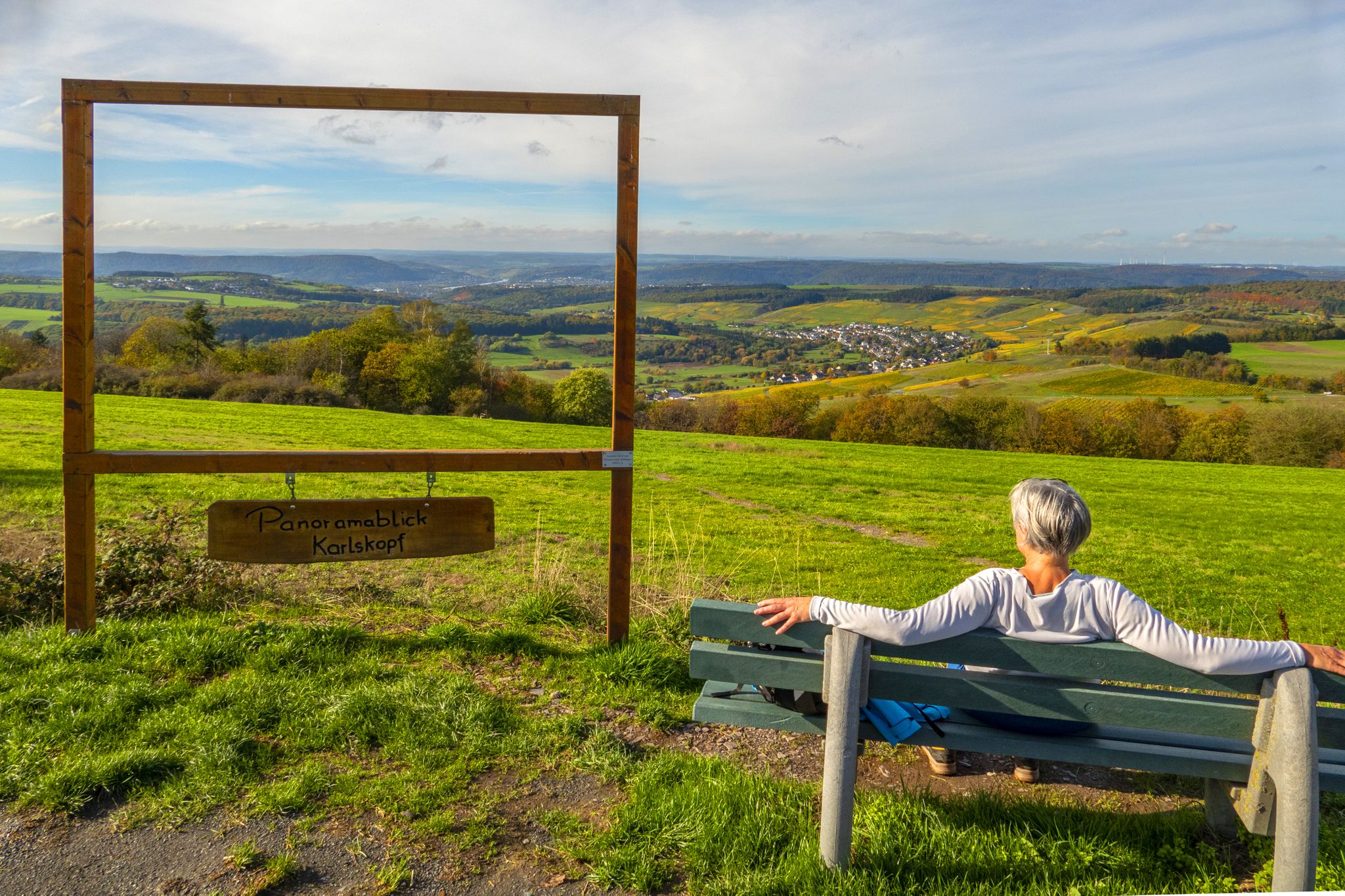
The trails vary in difficulty. Some routes, like the easy 5.76 km loop from Pellingen to Schanzenhütte Pellingen and Karlskopf Panorama Viewpoint, are suitable for nearly any fitness level. Others, such as the 7.82 km Karlskopf Panoramaweg, are moderate and require good fitness. For some areas like Bockstein Summit, sure-footedness and tight shoes are recommended due to the terrain.
What historical or cultural sites can be found near the elevated areas of Pellingen?
Beyond natural beauty, hiking routes in Pellingen can lead to historical sites like Schloss Thorn (also known as Burg Balduinseck), a castle perched on a steep rock, and the ruins of the ancient Roman city of Augusta Treverorum (Trier). The Bismarck Tower Schoden – View of the Saar Valley is itself a man-made monument and historical site.
Are there any amenities like cafes or pubs near the hiking routes in Pellingen?
While specific cafes or pubs directly on the trails are not detailed, the region is part of the famous Moselle wine-growing area, suggesting opportunities to enjoy local wines and potentially find establishments in nearby villages. The Bismarck Tower Schoden – View of the Saar Valley offers benches and tables for resting.
What do visitors enjoy most about the elevated points around Pellingen?
Visitors particularly appreciate the extensive panoramic views offered from these elevated locations, especially over the Moselle Valley. The beautiful trails, opportunities for great photos, and the chance to experience the natural beauty of the region are frequently highlighted. The community has upvoted these locations over 190 times and shared more than 380 photos, indicating their popularity and scenic appeal.
Is it possible to find circular walks around the elevated points in Pellingen?
Yes, the Pellingen area is well-suited for circular walks. For example, the Karlskopf Panoramaweg offers various hiking loops. An easy 5.76 km loop from Pellingen to Schanzenhütte Pellingen and back to the Karlskopf Panorama Viewpoint is a popular option, taking about 1 hour and 38 minutes.
Are there any high points that offer unique perspectives or are less known?
While not a 'hidden gem' in the traditional sense, the Moosbergpfad High Point – 467 m above sea level is described as an inconspicuous stone on the way to the Riveristalsperre, offering a unique point of interest for those exploring that route.
Most popular routes around Pellingen
Most popular attractions around Pellingen

Get inspired with the komoot mobile app


Explore more
See even more amazing summits around Pellingen with these guides:
