The 5 Most Amazing Peaks around Kottweiler-Schwanden
Mountain peaks around Kottweiler-Schwanden are characterized by elevated areas and rolling hills, situated in the geographical transition between the West Palatinate marsh valley and the North Palatinate highlands. The region's landscape is shaped by geological features, including Lower Buntsandstein and volcanic rock. While not featuring alpine ascents, the area offers numerous opportunities for outdoor activities such as hiking and mountain biking. These natural features contribute to the scenic landscape and provide recreational exploration.
Best mountain peaks around Kottweiler-Schwanden
- The most…
Last updated: June 27, 2026
Selberg Tower
Highlight • Viewpoint
Translated by Google •
Tip by

Potzberg Tower and Historic Hotel
Highlight • Monument
Translated by Google •
Tip by

Sign up now to discover places like this
Get recommendations on the best single tracks, peaks, & plenty of other exciting outdoor places.
Sign up for free
Summit cross on the local mountain Bann
Highlight • Summit
Translated by Google •
Tip by

Reuschbacher Heights Viewpoint
Highlight • Viewpoint
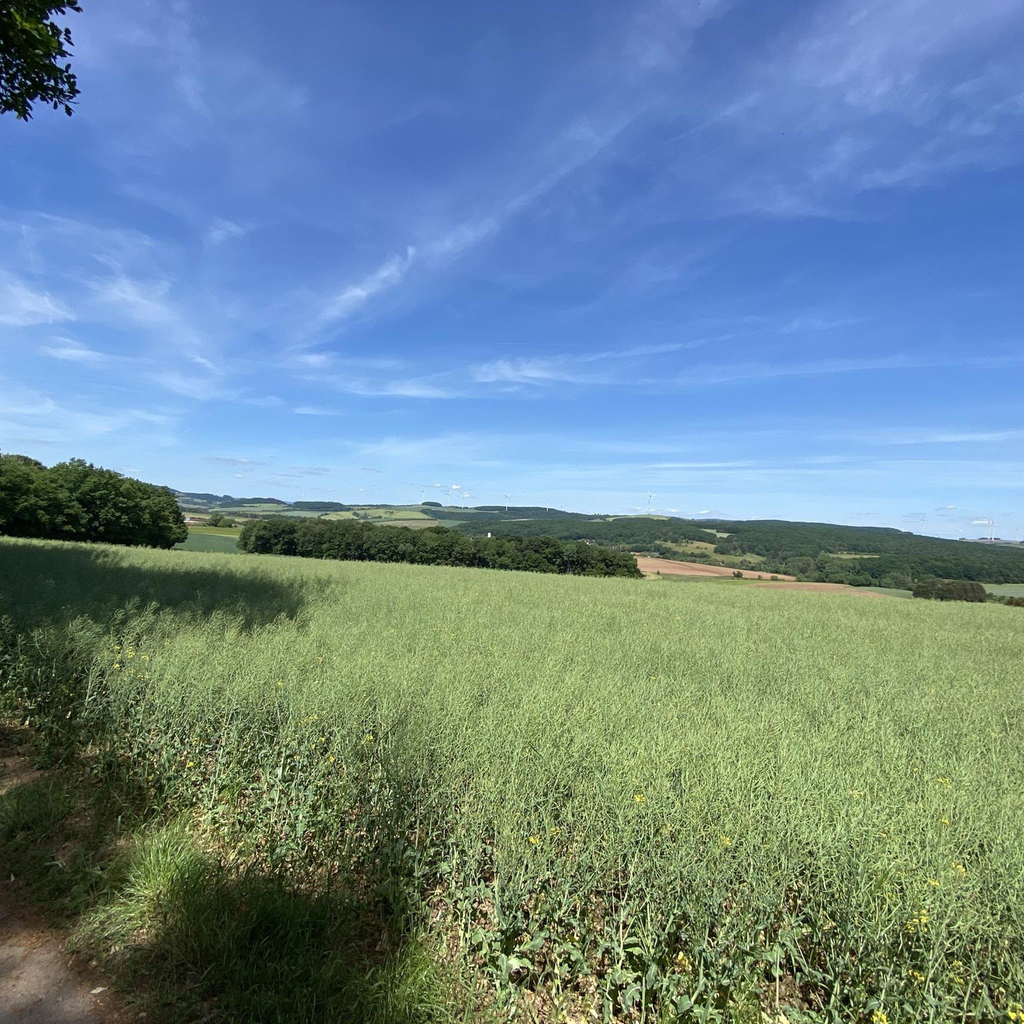
Grandiose panoramic view over the Westpfälzer Moorniederung to Sickinger height and over Potzberg and Glantal to the Prussian mountains.
Translated by Google •
Tip by

View of Potzberg
Highlight • Viewpoint
Both road and trails
Translated by Google •
Tip by

Sign up for free to discover even more peaks around Kottweiler-Schwanden.
Sign up for free
Already have an account?
Start today with a free account
Your next adventure awaits.
Login or Signup
Tips from the Community

The Potzbergturm is a 35-meter-high sandstone tower on the 562-meter-high Potzberg near Föckelberg (Kusel district). It was built in 1951 (inauguration 13.07.1952), offers a wide view over the Palatinate Forest to the Vosges mountains and is a popular excursion destination. Next to the tower, there is a wildlife park, a falconry, and a hotel-restaurant (closed). It is located on the summit of Potzberg, near Föckelberg (Westpfalz) and offers a panoramic view over Westpfalz, the Palatinate Forest, and up to the Hunsrück/Vosges.
1
0

This castle-like building, once built as a hotel, now stands abandoned at the summit of the Potzberg – a silent witness to times gone by. 📍 Tip: A short detour is worthwhile – the architecture offers exciting photo opportunities in contrast to the surrounding nature.
0
1

Centrally located, all the world's highlights are clearly signposted and directions are shown. 🤔😂🥳
0
0

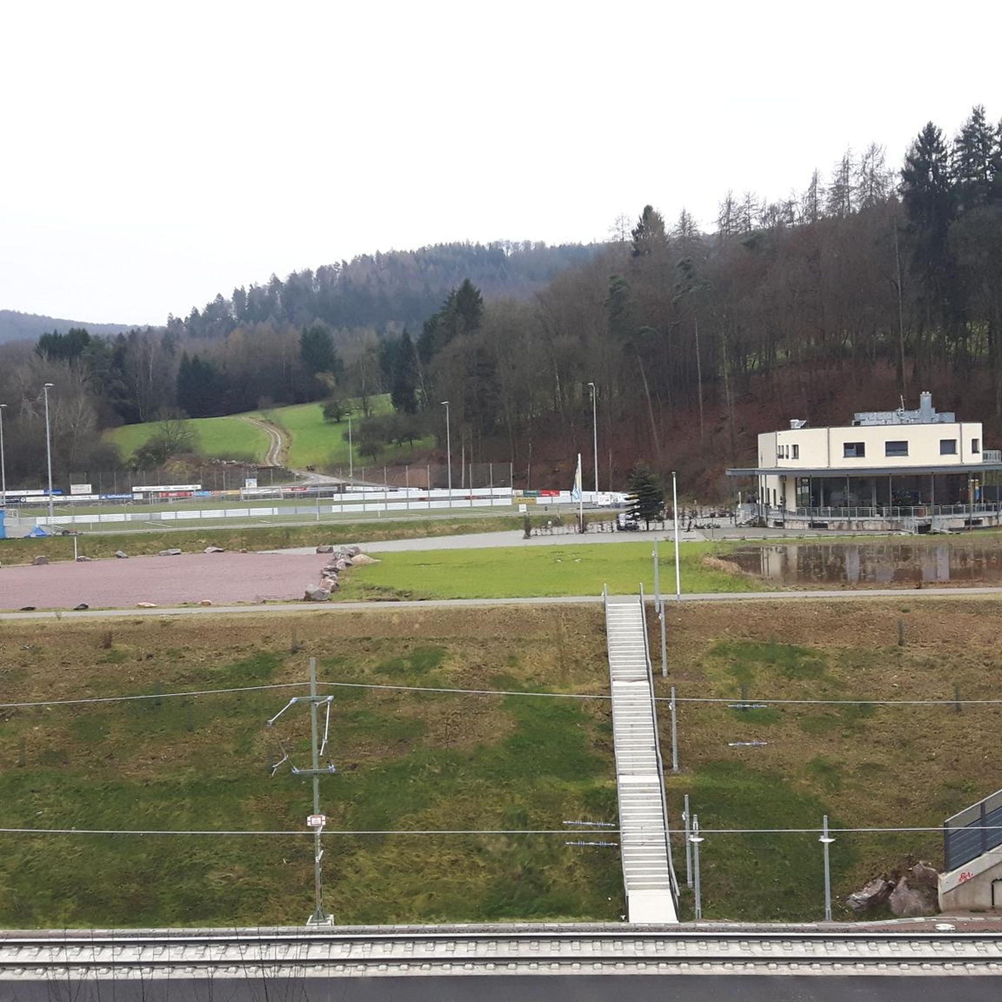
Unfortunately no restaurants here
0
0

Really beautiful cross! However, for the reasons mentioned above, it doesn't really give you that "summit feeling"...
2
0

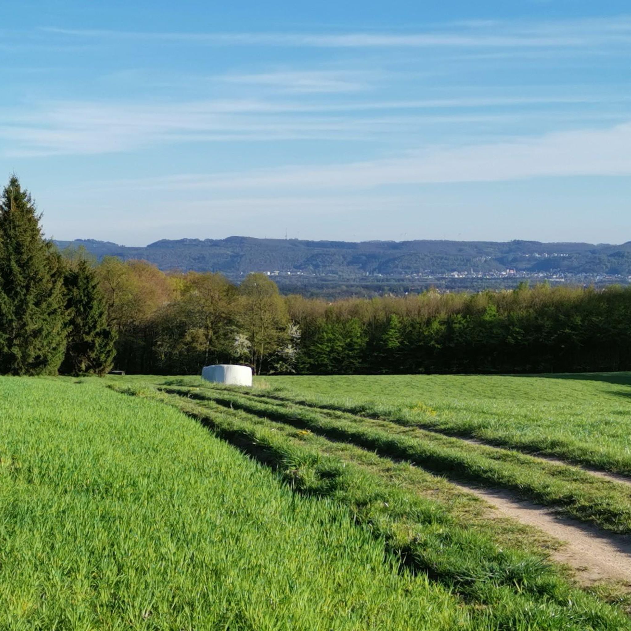
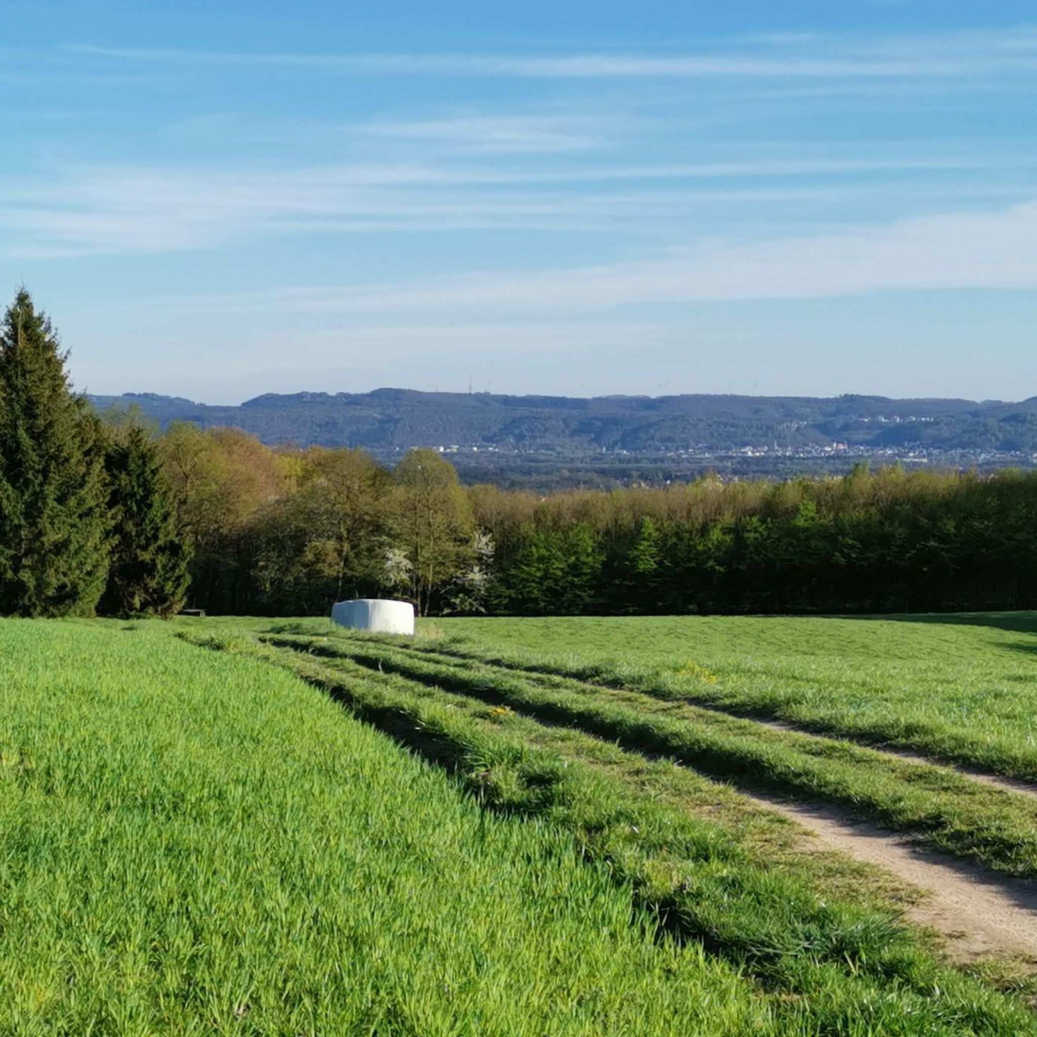
From here you have a wonderful view of the Potzberg 👌
2
0

Nice place for a break
2
0

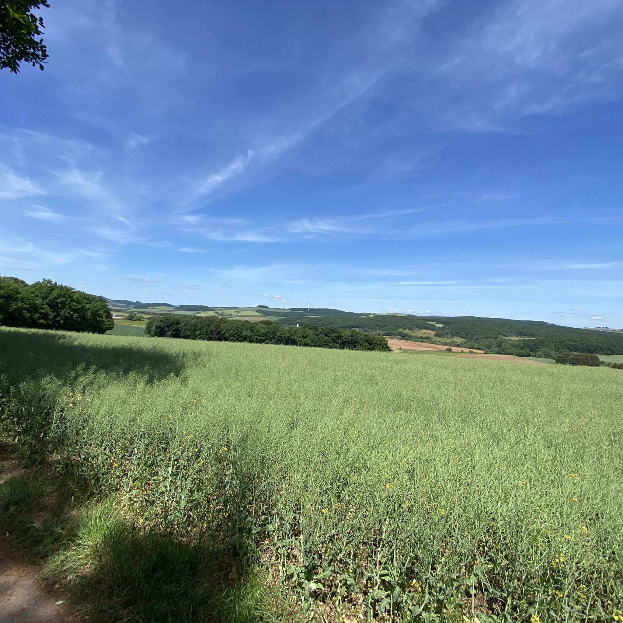
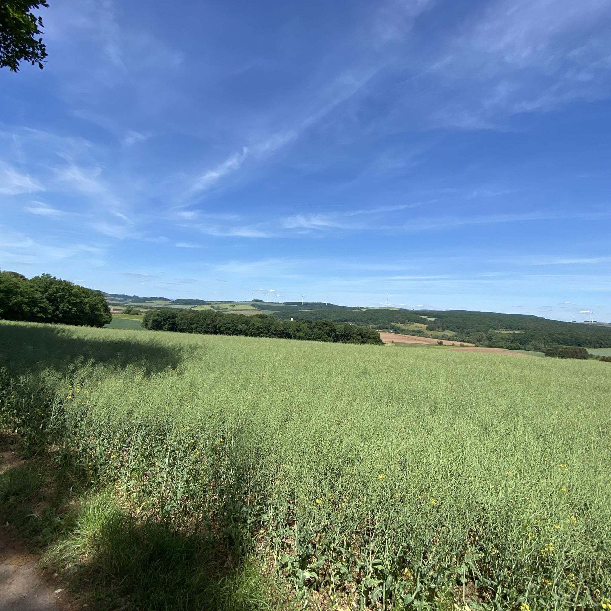
There is a beautiful view of the Potzberg and its surroundings from the top of the hill between Föckelberg-Limbach and Neunkirchen am Potzberg
1
0
Frequently Asked Questions
What are the most popular viewpoints among the elevated areas around Kottweiler-Schwanden?
Visitors frequently enjoy the Reuschbacher Heights Viewpoint, which offers panoramic views over the Westpfälzer Moorniederung, including the Potzberg, Glantal, and the Ramstein military air base. Another favorite is the Selberg Tower, an 18-meter steel structure providing extensive views over the North Palatinate mountains. The Summit cross on the local mountain Bann is also highly regarded for its unique summit experience.
Are there family-friendly elevated points or viewpoints to visit near Kottweiler-Schwanden?
Yes, several spots are suitable for families. The Reuschbacher Heights Viewpoint and the View from Bermeshöhe are both categorized as family-friendly. The Selberg Tower is also accessible and offers a great experience for all ages with its viewing platform.
What kind of natural features can I expect to see when exploring the elevated areas around Kottweiler-Schwanden?
The region is characterized by rolling hills and elevated areas, with a landscape shaped by geological features like Lower Buntsandstein and volcanic rock. You'll find reforested areas, such as Spinnberg, which was historically cleared for agriculture and now offers green landscapes. The viewpoints provide expansive vistas over marshlands, valleys, and the North Palatinate mountains, showcasing the area's diverse terrain.
What outdoor activities can I do near the elevated areas of Kottweiler-Schwanden?
The region is well-suited for various outdoor activities. You can enjoy hiking on numerous trails, including easy and moderate options like the 'Rothenberg loop' or the 'Kottenweg – Berm height loop'. Cycling and gravel biking are also popular, with routes such as the 'Seewoog Miesenbach – Vogelwoog loop' available. For more details on routes, explore the hiking guide, cycling guide, and gravel biking guide for Kottweiler-Schwanden.
Are there specific hiking trails that lead to these elevated points or offer circular walks?
Yes, there are several hiking trails in the area. For example, the 'Kottenweg' is a thematic trail that includes the Bermeshöhe. You can find various circular walks, such as the 'Rothenberg loop from Kottweiler-Schwanden' or the 'Hebenhübel – Fünfeckstein Border Marker loop', which allow you to explore the undulating terrain and forested areas. Check the hiking guide for Kottweiler-Schwanden for more options.
What is the highest point within the Kottweiler-Schwanden municipality?
The highest point within the municipality of Kottweiler-Schwanden is Spinnberg, reaching an elevation of 393 meters. While not a towering mountain, it offers a significant elevated area within the local landscape.
What historical insights can be gained from the elevated areas in Kottweiler-Schwanden?
The Spinnberg, for instance, offers a glimpse into the region's agricultural history. Nearly two-thirds of its forest was cleared by 1845 for farming due to its fertile south slope. Today, it is reforested, showcasing a return to natural landscapes. The geological composition, primarily 'Lower Buntsandstein' and volcanic rock, also tells a story of millions of years of natural formation.
What do visitors particularly enjoy about the elevated areas and viewpoints in Kottweiler-Schwanden?
Visitors frequently highlight the beautiful panoramic views, especially from spots like the Reuschbacher Heights Viewpoint, which offers vistas towards the Potzberg and Ramstein. The Selberg Tower is appreciated for its accessible viewing platform and wide-ranging mountain views. Many also find the Summit cross on the local mountain Bann to be a unique and beautiful highlight, often noting the 'summit booklet' as a nice touch.
Are there any facilities or amenities available at the viewpoints?
Some viewpoints, like the Reuschbacher Heights Viewpoint, are beautifully landscaped with benches, inviting visitors to linger. The Selberg Tower is located near the Selberghütte, which may offer additional facilities, though it's advisable to check opening hours if planning to eat there.
What is the general difficulty level for hiking to the elevated points around Kottweiler-Schwanden?
The elevated areas around Kottweiler-Schwanden are characterized by rolling hills rather than dramatic alpine ascents, making many trails suitable for a range of abilities. Highlights like the Selberg Tower, Summit cross on the local mountain Bann, and Reuschbacher Heights Viewpoint are generally considered intermediate in difficulty, but there are also easy hiking loops available, such as the 'Rothenberg loop'.
Can I find any hidden gems or less-known viewpoints in the area?
While the main highlights are well-known, the region's undulating terrain means there are many smaller elevated spots and forest trails that offer peaceful views and a sense of discovery. Exploring the various hiking and cycling routes listed in the komoot guides for Kottweiler-Schwanden can lead you to less-trafficked viewpoints and natural features beyond the most popular ones.
Most popular routes around Kottweiler-Schwanden
Most popular attractions around Kottweiler-Schwanden

Get inspired with the komoot mobile app


Explore more
See even more amazing summits around Kottweiler-Schwanden with these guides:
