Top 20 Lakes around Lirstal
Lakes around Lirstal are a prominent feature of the Vulkaneifel district in Rhineland-Palatinate, Germany. This region is characterized by its volcanic landscapes and numerous volcanic lakes, known as maars. Lirstal serves as a gateway to exploring these natural formations, offering access to a variety of lakes within its vicinity and the broader Vulkaneifel area. The area provides opportunities to experience unique geology and serene natural settings.
Best lakes around Lirstal
- The most popular lake is Maiden Pond, a lake…
Last updated: October 13, 2026
Ulmener Maar
Highlight • Lake
Translated by Google •
Tip by

Upper Castle of Ulmen
Highlight • Castle
Translated by Google •
Tip by

Sign up now to discover places like this
Get recommendations on the best single tracks, peaks, & plenty of other exciting outdoor places.
Maiden Pond
Highlight • Lake
Translated by Google •
Tip by

Booser Double Maar Wetlands
Highlight • Natural Monument
Translated by Google •
Tip by

Heilbachsee
Highlight • Lake
Showing Translation
Tip by

Sign up for free to discover even more lakes around Lirstal.
Already have an account?
Start today with a free account
Your next adventure awaits.
Tips from the Community

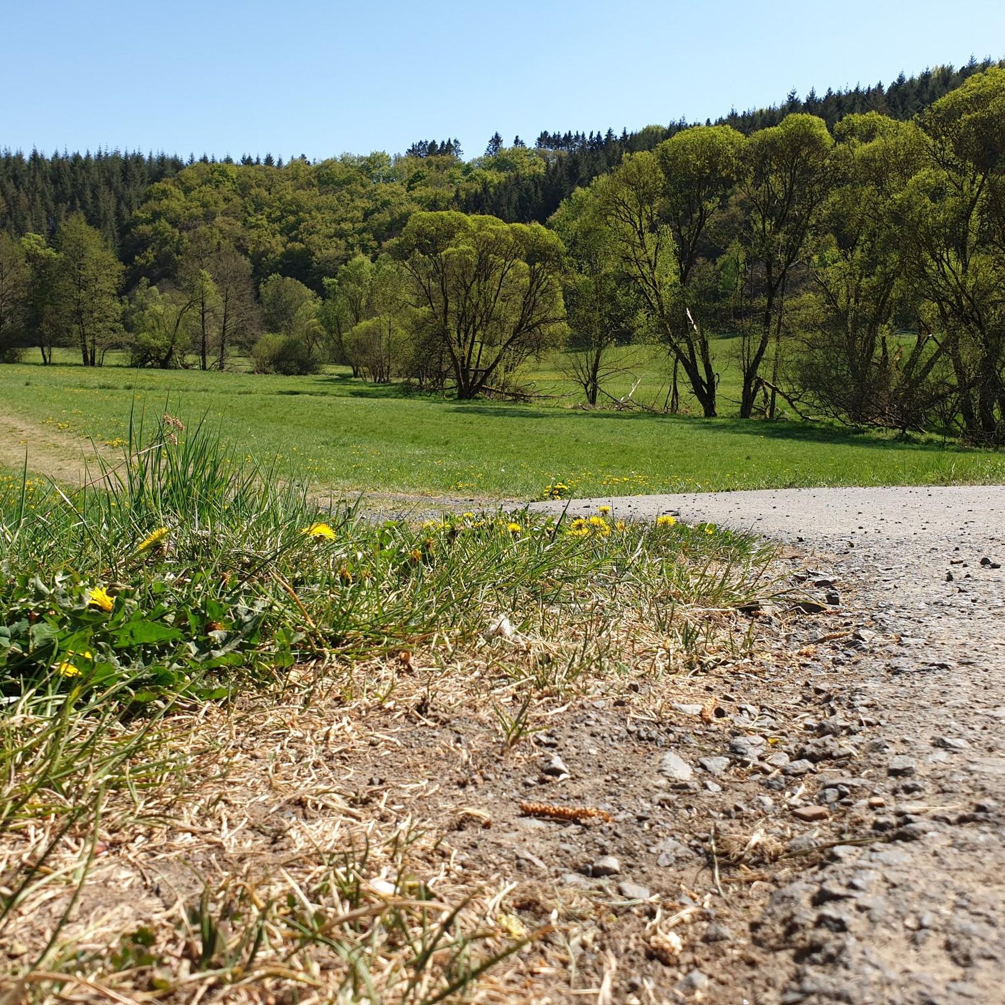
Very beautiful artificial lake created, for big and small, what
4
0

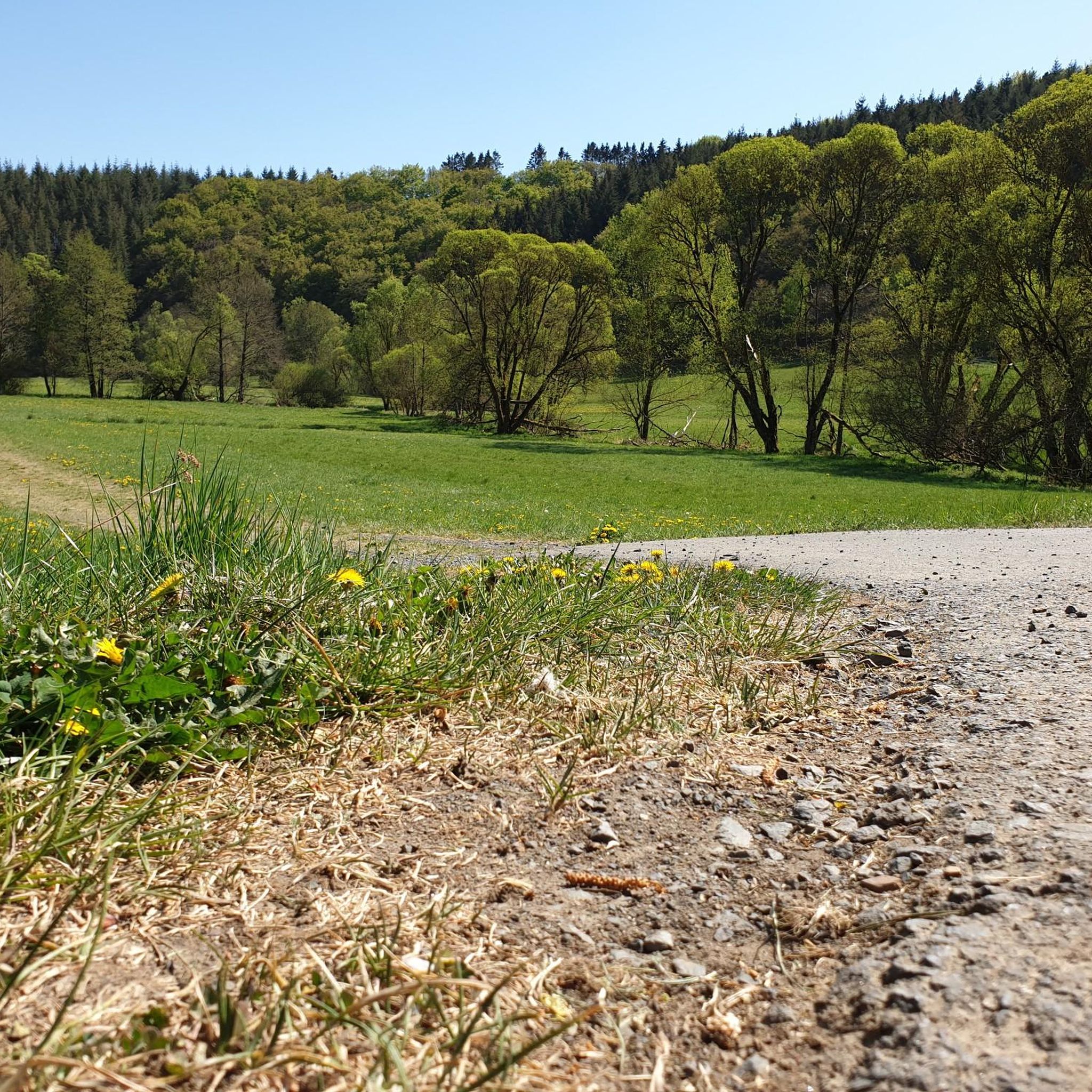
The Ulmen Maar lies 420 meters above sea level today, covers an area of 5.5 hectares, and is 36 meters deep. The bubbles at the maar's edge demonstrate that volcanism is still active. They bear witness to a turbulent past—but rest assured, there's no eruption in sight! A wall of various rocks and ash, up to 20 meters thick, surrounds the cone. For those interested, these testimonies to this explosive past are beautifully displayed in St. Matthias Church. This unique wall, with its different colored layers and rounded inclusions, is worth seeing for more than just geologists. The slopes of the maar basin are covered with a beautiful forest, which can be explored on a circular walk. A detour to the medieval castle ruins, from which the Crusaders once launched their campaigns, is recommended. The view from the crater rim over the maar and the Eifel beyond will take your breath away. Whether after a sweaty hike or a long drive, the blue of the Ulmer Eifel lake is all too tempting in summer. However, bathing in the maar is prohibited because it is designated as a nature and water protection area.
7
0
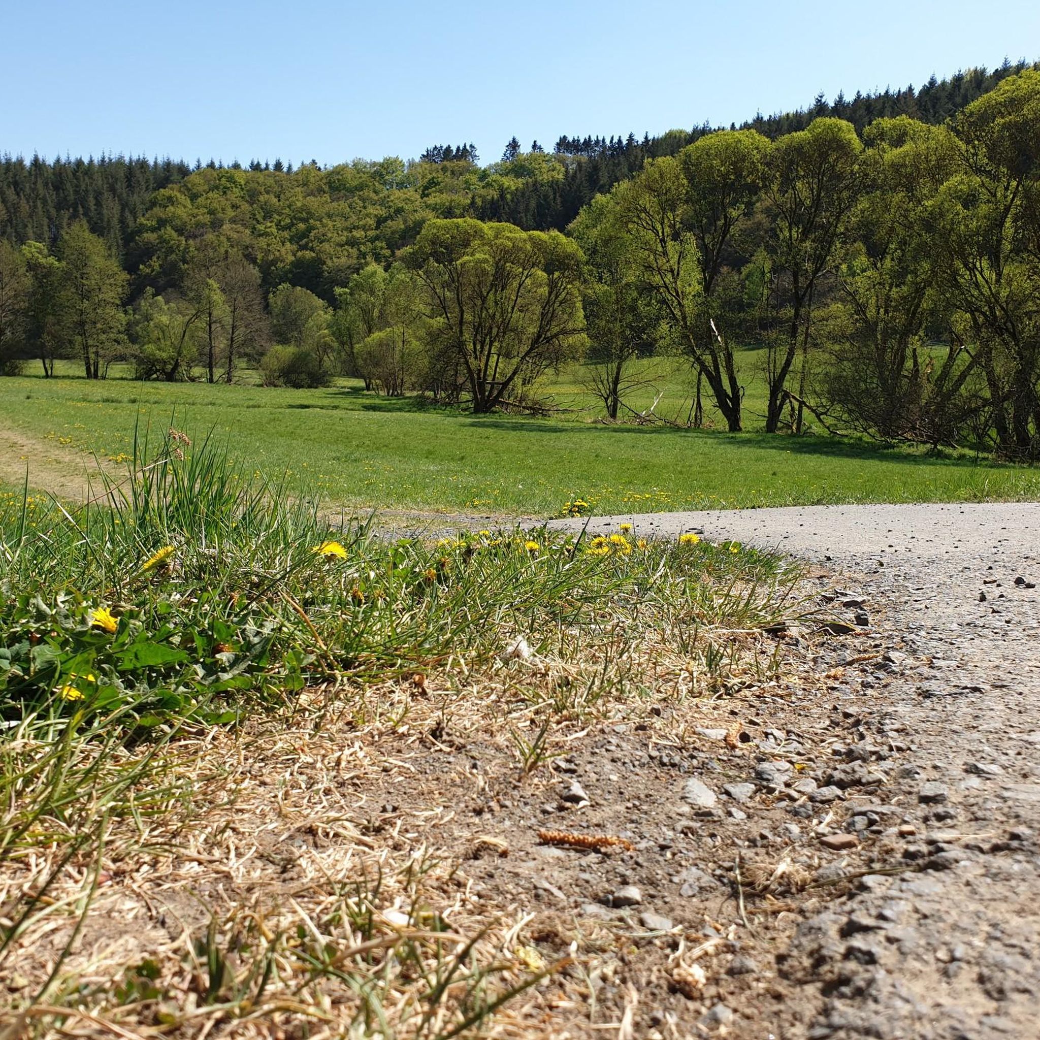
The lower castle has completely disappeared. You can still see the beginning of the ring that connected the lower castle and the Ulmen city wall, a two-story outer wall of the palace, as well as a cistern and some foundation walls of other buildings. The old part of Ulmen Castle was built around 1074 AD and likely rests on the remains of a Roman settlement. In the Middle Ages, Ulmen Castle was further expanded and divided into the upper castle, whose remains of the walls still exist, and the lower castle, which extended to the banks of the maar river. Two knightly families lived in the castle, which is believed to have never been attacked or destroyed until 1673 due to its size. Only the Sun King's troops succeeded. It was rebuilt, but fell again in 1689 during the War of the Succession. However, Ulmen Castle was also rebuilt this time, with only the city wall being abandoned. With the invasion of Napoleon's soldiers, Ulmen also became French and later Prussian. The empty castle, whose last descendant died in 1801, was auctioned to a merchant from Cochem, who sold it as a quarry. When a devastating fire burned Ulmen to the ground in the 19th century, the residents of Ulmen rebuilt their houses with stones from the castle. That's why you can still see a coat of arms on some of the stables today. It wasn't until the early twentieth century that Ulmen Castle was declared a listed building and became the property of the municipality of Ulmen. The castle is always freely accessible.
7
0

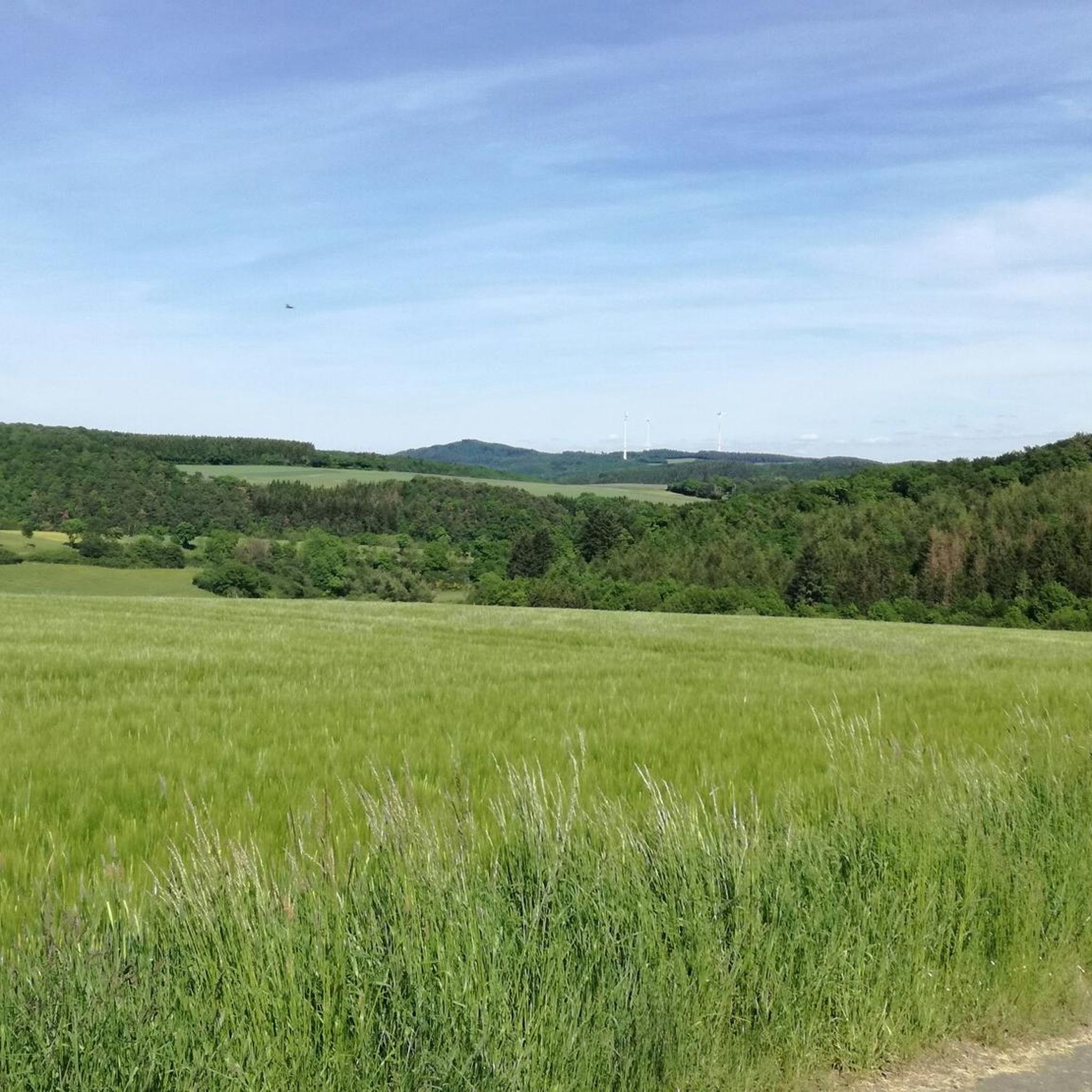
The Boos Double Maar consists of two silted-up maars, which today appear as shallow depressions in the terrain. They are located within the municipality of Boos. The two maars formed between 10,150 and 14,160 years ago and belong to the Quaternary volcanic field of the Volcanic Eifel. The two maars form large, circular basins surrounded by tuff embankments. They lie on a west-southwest-east-northeast trend, thus following the Variscan strike of the subsurface. The west-southwest maar has a diameter of approximately 700 m and a depth of between 30 and 60 m; the east-northeast maar is between 650 and 700 m and a depth of between 50 and 87 m. Both depressions are very humid, so there are still areas that have a permanent water surface. The waters were formerly used as fish ponds, but later silted up and served as meadows and fields. Today, there is once again a fish pond in the west-southwestern part of the maar, the Booser Weiher. In the vicinity of the maars, there are tuff pits where the volcanic tuff formed during the eruption of the maars was mined. Very beautiful nature.
0
0

beautiful small reservoir, ideal for a short walk
0
0

The history of the Volcanic Eifel can be explored at the Booser Doppelmaar. The Booser Doppelmaar consists of two silted-up maars, which today appear as flat hollows in the terrain. The two maars were formed between 10,150 and 14,160 years ago. Viewed from above, the two maars are circular basins. The west-southwest maar has a diameter of around 700 m and is between 30 and 60 m deep, the east-northeast maar is between 650 and 700 m large and has a depth of 50 to 87 m. The two hollows are very wet, so there are still places that have a permanent water surface. The water areas were previously used as fish ponds, but later silted up and served as meadows and fields. Today there is again a fish pond in the west-southwestern maar, the Booser Weiher, see also https://de.wikipedia.org/wiki/Booser_Doppelmaar
1
1

The Ulmener Maar is small but beautiful. Located in the middle of the Eifel and in the middle of the city, it is a wonderful destination. You can easily combine a walk around the maar with a walk around the neighboring Jungferweiher. Both have recently been connected by the Ulmener Maar tunnel, which runs under the A 48 motorway.
6
0

The Jungferweiher Maar is located at an altitude of 428 meters, is 1.7 hectares in size and is very shallow and swampy at 80 cm.
4
0
Frequently Asked Questions
What are the unique natural features of the lakes around Lirstal?
The lakes in the Lirstal area, particularly within the Vulkaneifel district, are primarily volcanic lakes known as maars. These are characterized by their distinctive geological origins. For example, Ulmener Maar is a deep meromictic lake surrounded by a tuff rock wall, considered one of the youngest Eifel maars. Another example is Pulvermaar, known for its deep blue water and dramatic landscape with steep surrounding slopes.
Are there any family-friendly lakes or activities near Lirstal?
Yes, several lakes offer family-friendly attractions. Heilbachsee is an artificially created lake with a circular path and many attractions, especially for children. Gemündener Maar is another excellent spot for family recreation, featuring an inviting outdoor pool area for swimming.
Which lakes are best for birdwatching or nature observation?
Jungfer Pond is a renowned bird sanctuary, especially during migration periods in spring and autumn. This shallow lake, located on a plateau, is home to many endangered species, and a bird observatory on its western bank allows for excellent viewing.
Can I find historical sites near the lakes in the Vulkaneifel region?
Yes, the region combines natural beauty with historical significance. Ulmener Maar, for instance, has castle ruins from the 11th century on its southern edge, offering a glimpse into the area's past alongside its geological wonders. You can also visit the Upper Castle of Ulmen for beautiful views.
What kind of hiking trails are available around the lakes near Lirstal?
The Vulkaneifel region offers a variety of hiking trails that pass by or around its lakes. For example, Heilbachsee is part of a popular hiking trail, and Mosbruch Pond is featured in a longer, 8.7-mile trail that traverses volcanic terrain. You can find more hiking options in the MTB Trails around Lirstal guide, which also includes routes near lakes like Heilbachsee and Jungfer Pond.
Are there opportunities for swimming or water sports in the lakes?
Yes, several maars are suitable for swimming and water activities. Schalkenmehren Maar, the largest of the three Daun maars, provides extensive opportunities for enjoying nature, swimming, and various water-based activities. Meerfelder Maar is also ideal for bathing and fishing. However, swimming and other water sports are prohibited at Jungfer Pond due to its status as a bird sanctuary.
Which lake is the largest in the Rhineland-Palatinate region?
Laacher See is the largest lake in Rhineland-Palatinate. It covers approximately 3.3 square kilometers with a depth of 53 meters, making it a significant natural landmark with a wide range of recreational possibilities.
What is the best time to visit the lakes around Lirstal?
The Vulkaneifel region is beautiful year-round. Spring and autumn are particularly good for hiking and nature observation, especially for birdwatching at Jungfer Pond during migration periods. Summer is ideal for swimming and water activities at lakes like Gemündener Maar or Schalkenmehren Maar. In winter, some lakes, like Jungfer Pond, may even offer opportunities for ice skating.
Are there any cycling routes near the lakes?
Yes, the area around Lirstal offers various cycling opportunities. You can explore road cycling routes, such as those found in the Road Cycling Routes around Lirstal guide. Additionally, there are gravel biking options, including routes that pass by Ulmener Maar, as detailed in the Gravel biking around Lirstal guide.
What makes Meerfelder Maar a notable destination?
Meerfelder Maar is notable for being situated within the largest volcanic funnel in the region. It offers an ideal location for bathing, fishing, and experiencing nature amidst a truly unique geological formation.
What do visitors appreciate most about the lakes around Lirstal?
Visitors highly appreciate the distinct volcanic origins, clear waters, and the abundant hiking and recreational activities available. The serene natural settings and unique geology, such as the deep blue waters of Pulvermaar or the bird sanctuary at Jungfer Pond, are frequently highlighted.
Is there a lake known for its deep blue water and dramatic scenery?
Pulvermaar is particularly known for its deep blue water, reaching a depth of 74 meters. It is surrounded by steep slopes, which contribute to a dramatic and beautiful landscape, making it a visually striking destination.
Most popular routes around Lirstal
Most popular attractions around Lirstal

Get inspired with the komoot mobile app


Explore more
Still not found your perfect lake around Lirstal? Check out the guides of these regions to see even more beautiful places.
