The 7 Most Amazing Peaks around Dankerath
Best mountain peaks around Dankerath are situated within a region characterized by a varied landscape of forests, volcanic terrain, and numerous peaks in the Eifel and Ahr Hills. This area offers a range of hiking experiences, from gentle walks to more challenging routes. The region is known for its hilly environment with streams and alternating landscapes. It provides opportunities to explore historical sites and enjoy scenic views.
Best mountain peaks around Dankerath
- The most popular mountain peaks is Nürburg Castle, a castle that sits atop a basalt volcanic vent at 676.5 meters above sea level. This site is the highest castle in Rhineland-Palatinate and its 39-meter-high keep offers panoramic views over the Eifel region.
- Another must-see spot is Aremberg Castle Tower, a castle. Located on the highest peak in the Ahr Hills at 623.8 meters, it features an observation tower built around 1854 from the remnants of a 12th-century castle.
- Visitors also love View from Michelsberg near Uedelhoven, a viewpoint. This location reaches 477.6 meters above sea level and provides views towards the Ahr and Hocheifel regions.
- Dankerath is known for volcanic peaks, historical castle sites, and scenic viewpoints. The region offers a variety of mountain peaks to see and explore, catering to different interests and activity levels.
- The mountain peaks around Dankerath are appreciated by the komoot community, with more than 500 upvotes and over 500 photos shared.
Last updated: August 20, 2026
View of Nürburg Castle
Highlight • Viewpoint
Translated by Google •
Tip by

Aremberg Castle Tower
Highlight • Castle
Translated by Google •
Tip by

Sign up now to discover places like this
Get recommendations on the best single tracks, peaks, & plenty of other exciting outdoor places.
Sign up for free
Homecomers' Cross Jischbühl
Highlight • Monument
Translated by Google •
Tip by

View from Michelsberg near Uedelhoven
Highlight • Viewpoint
Translated by Google •
Tip by

Hürsnück
Highlight • Viewpoint
A breathtaking panoramic view guides the observer's gaze to the most distinctive mountain ranges of the Hocheifel landscape (Source: eifel.info/a-panoramablick-auf-der-huerstnueck).
On a clear day, you can even see as far as the Siebengebirge!
Showing Translation
Tip by

Sign up for free to discover even more peaks around Dankerath.
Sign up for free
Already have an account?
Start today with a free account
Your next adventure awaits.
Login or Signup

Tips from the Community

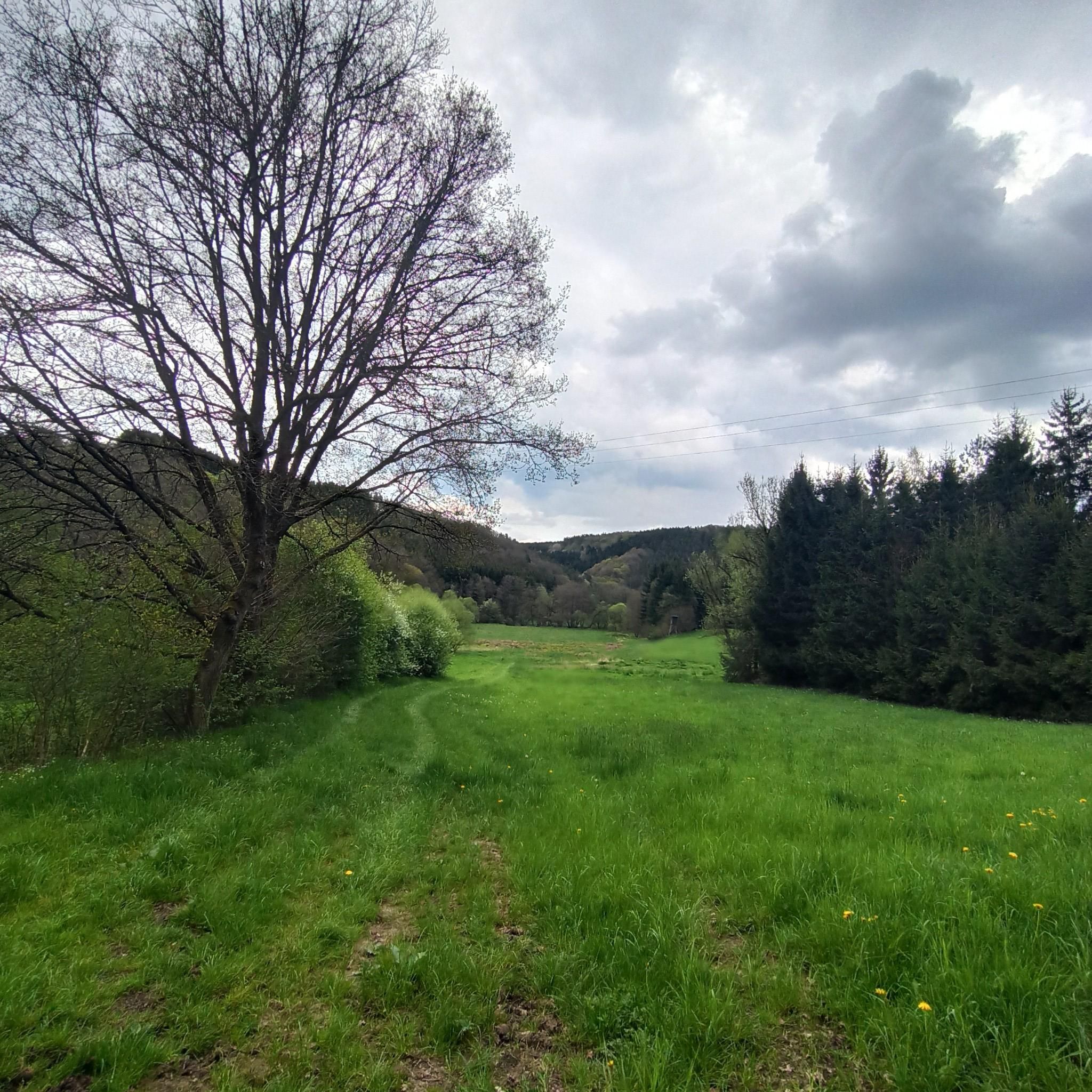
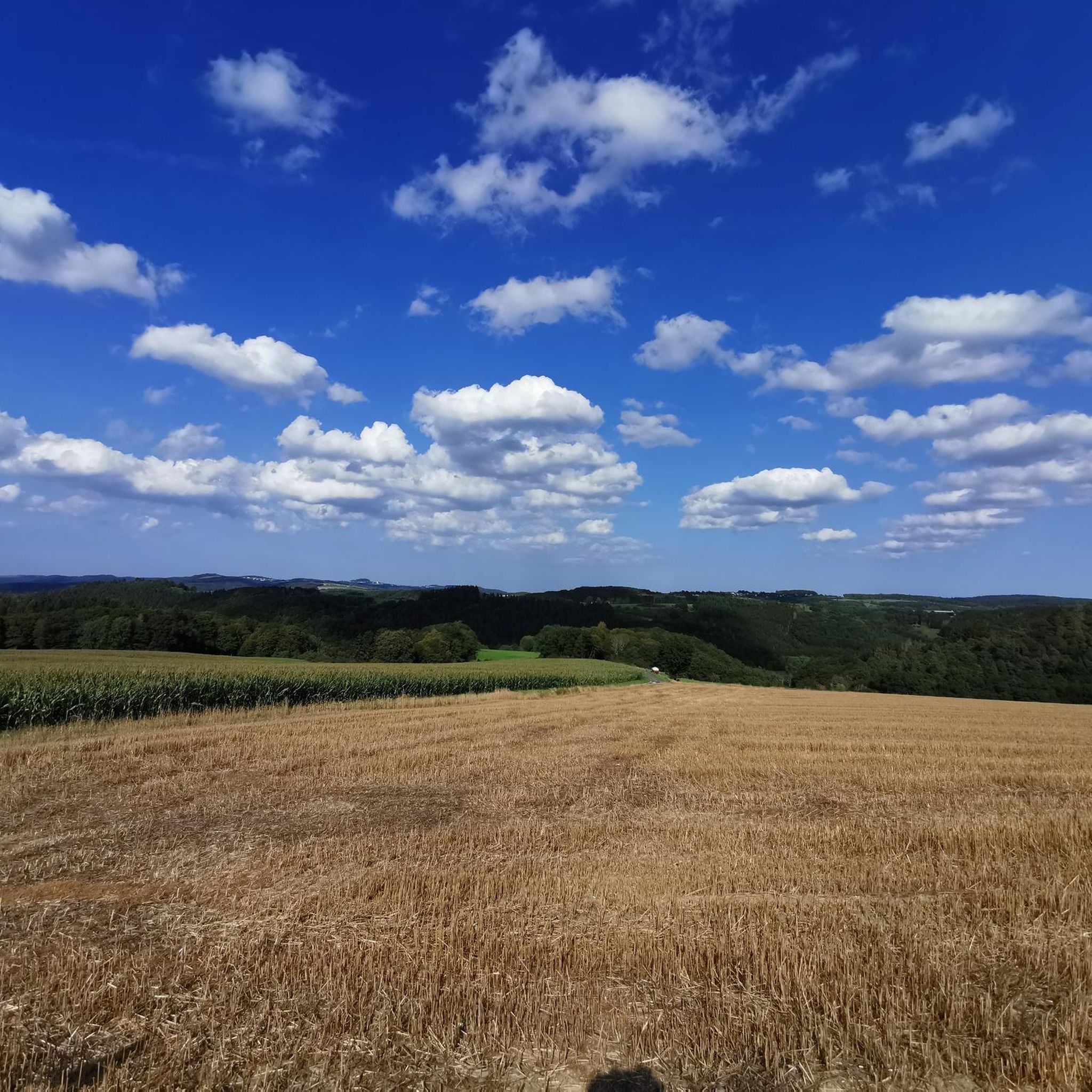
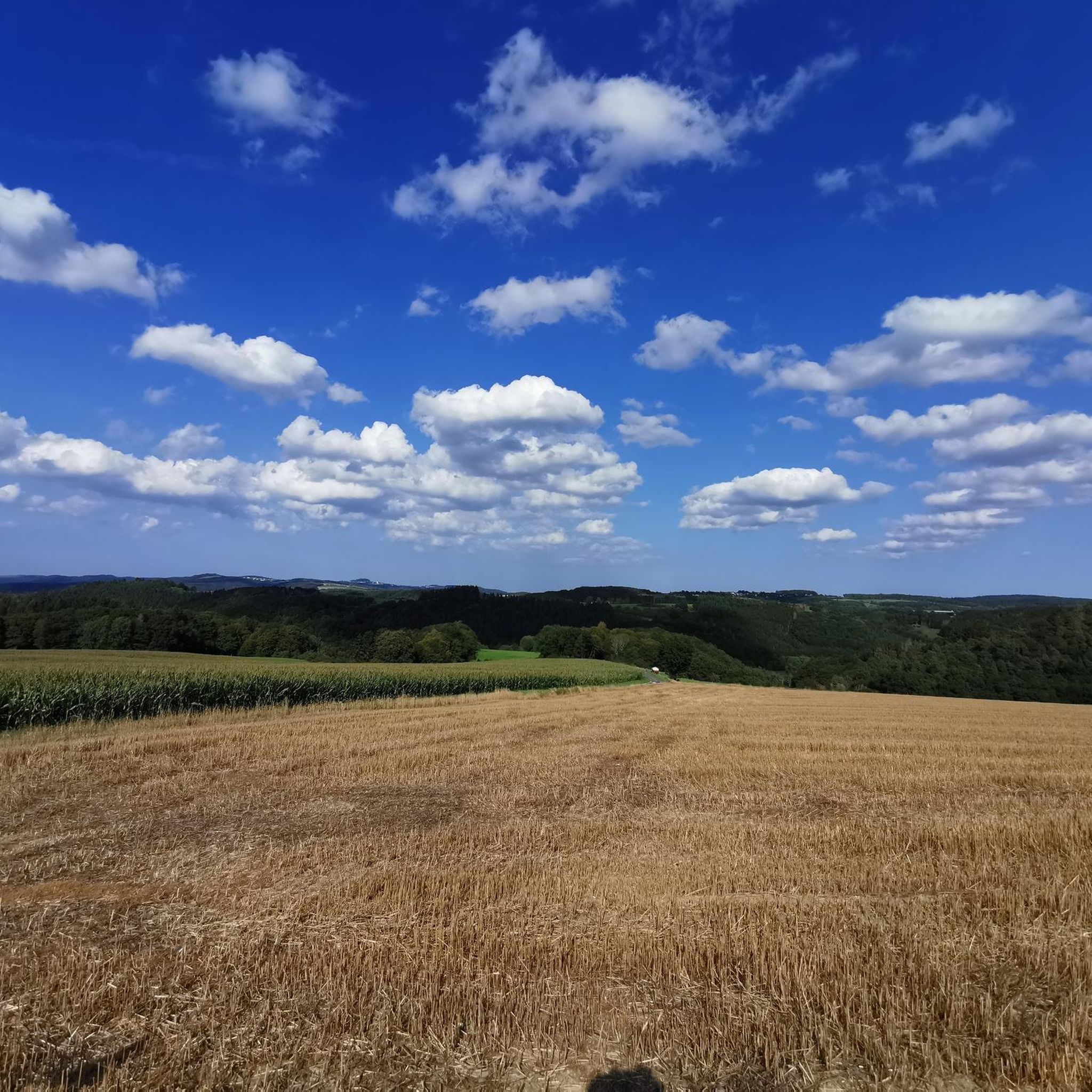
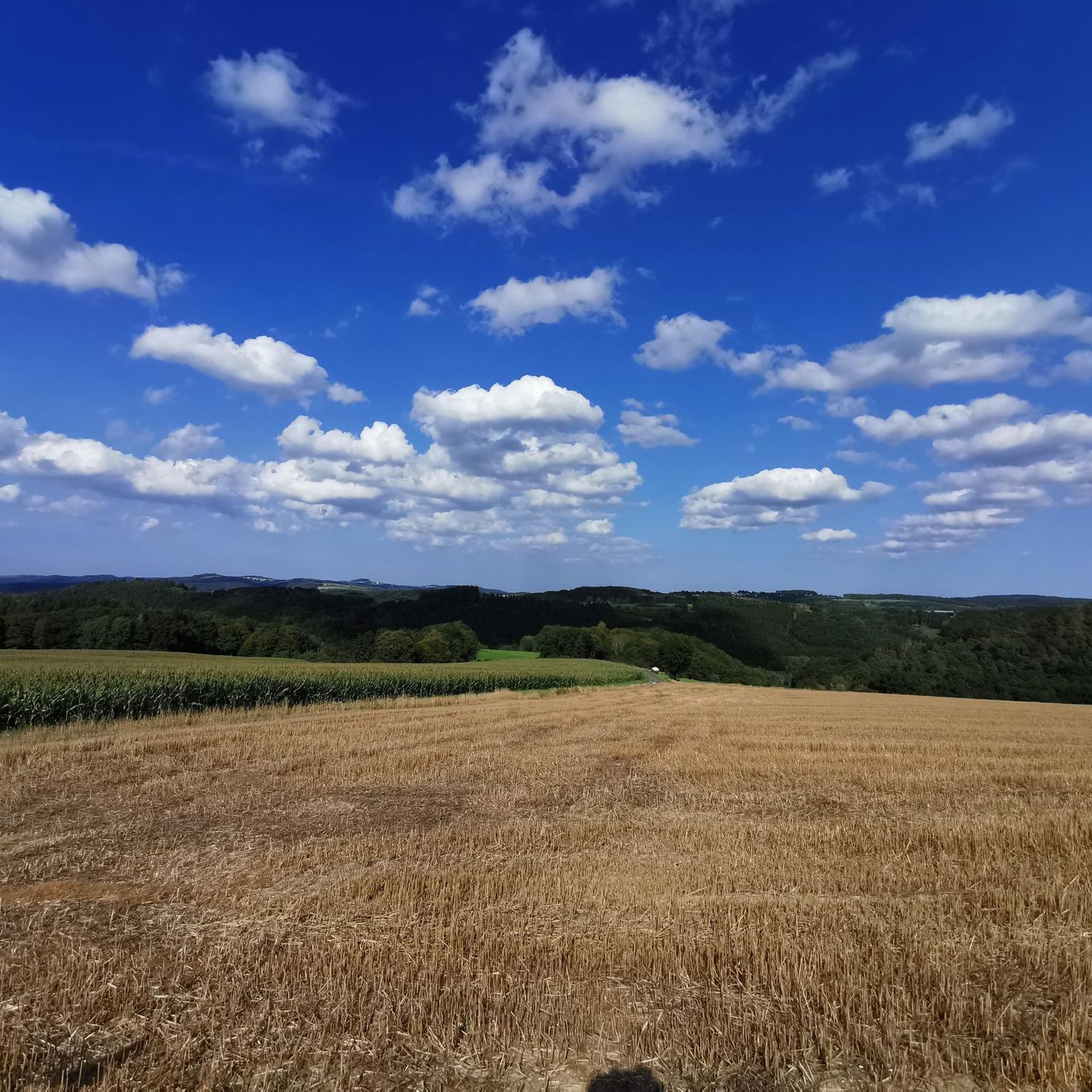
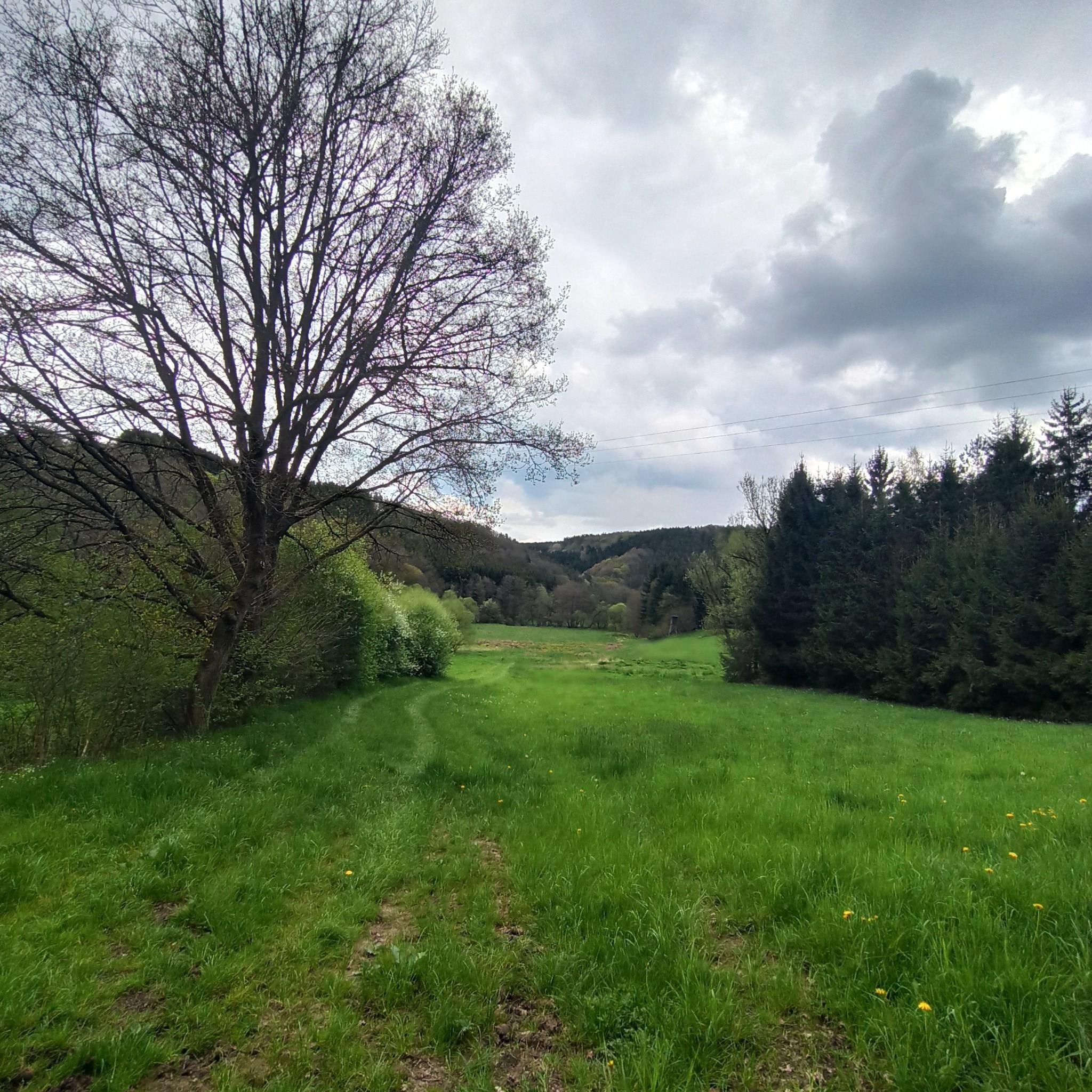
The Hürstnück or Hürsnück nature reserve (the spelling varies), with its rare heathland and lean grassland areas, is located on a hill between the towns of Reiffescheid and Winnerath. A breathtaking panoramic view guides the observer's gaze to the most distinctive mountain ranges of the Hocheifel landscape (Source: https://www.eifel.info/a-panoramablick-auf-der-huerstnueck). On a clear day, you can even see as far as the Siebengebirge!
0
0

In one of the – wonderfully told and far beyond the borders of Italy popular – short stories that Giovanni Guareschi (1908 to 1968) tells about the two protagonists he invented, “Don Camillo” and “Peppone”, the title is “AUTUMN”. Even though most of his stories have a humorous background, this time it is about a serious topic, namely the national remembrance of the fallen on the occasion of November 4th. The communist mayor Peppone expresses himself in the heated discussion with the priest as follows: » “The people are fed up with all these wars and victories. The people know very well what a war is and do not need speeches and appeals that glorify it.” Don Camillo shook his head. “You are on the wrong path, Peppone. Nobody wants to glorify war. It is only about paying homage and gratitude to all those who suffered in this war and lost their lives.” « (G. Guareschi)
0
0

Nice view of the Nürburg, great track
1
0

When the weather is nice you have a fantastic view from here.
1
0

When the weather is clear you can enjoy a great view from here as far as the Hohe Acht and the Nürburg.
2
0

Commemoration / thanks to / for safe return from World War II
0
0

Top hiking trail with several views of the Eifel and the Nürburg👍
1
0

Uedelhoven is a district of the municipality of Blankenheim and is located in the southeast of the municipality of Blankenheim on the Ahrdorfer Kalkmulde (270.70). The Ahr flows around the town center from north to east at a distance of around 800 to 1000 m. The highest elevation is 477.6 m above sea level. NHN the Michelsberg (also trigonometric point) (♁location), which allows a good view to the east in the direction of the Ahr and Hocheifel. Northwest of its highest point is a telecommunications converter (466 m above sea level).
5
0
Frequently Asked Questions
What kind of landscape can I expect when exploring the mountain peaks around Dankerath?
The region around Dankerath is characterized by a diverse landscape, featuring a hilly environment with streams, alternating forests, maars, and distinctive volcanic terrain. This varied scenery offers a range of experiences, from gentle walks to more challenging routes, with numerous peaks in the Eifel and Ahr Hills.
Are there any historical sites among the mountain peaks near Dankerath?
Yes, the area is rich in history. You can visit Nürburg Castle, which sits atop a basalt volcanic vent and is the highest castle in Rhineland-Palatinate. Another significant historical site is Aremberg Castle Tower, located on the highest peak in the Ahr Hills, where an observation tower stands amidst the remnants of a 12th-century castle.
Which mountain peaks offer the best panoramic views?
For impressive panoramic views, consider visiting Nürburg Castle. Its 39-meter-high keep provides extensive views over the entire Eifel region, including the Nordschleife of the Nürburgring. Additionally, the View from Michelsberg near Uedelhoven offers good vistas towards the Ahr and Hocheifel regions, and on clear days, you can even see as far as the Hohe Acht and Nürburg.
Are there family-friendly mountain walks around Dankerath?
Yes, the View from Michelsberg near Uedelhoven is noted as family-friendly. The region generally offers a mix of easy and more challenging routes, making it possible to find suitable paths for various fitness levels and family outings.
What is the highest peak in the Eifel region near Dankerath?
The highest elevation in the Eifel and the High Eifel is Hohe Acht, reaching 746.9 meters. While a bit further from Dankerath, it's a significant volcanic site featuring the Kaiser Wilhelm Tower, making it a prominent destination for those seeking the highest point in the region.
What outdoor activities can I do near these mountain peaks?
The area around Dankerath offers a variety of outdoor activities. You can find numerous hiking trails, including routes like the 'Rock face at Nohner Mühle – Dreimühlen Waterfall loop from Nohn' or the 'Kerpen Castle – Dreimühlen Waterfall loop from Nohn'. For more options, explore the hiking guide for Dankerath. There are also cycling routes available, such as the 'Dreimühlen Waterfall – Bridge Over Quarry Access Road loop from Nohn', detailed in the cycling guide for Dankerath, and running trails like the 'Dreimühlen Waterfall – Kerpen Castle (Eifel) loop from Kerpen' in the running guide for Dankerath.
What makes the Aremberg peak unique?
Aremberg is notable as the highest peak in the Ahr Hills, standing at 623.8 meters. While the original 12th-century castle is mostly in ruins, an observation tower built around 1854 from its remnants still offers a historical point of interest. It provides a unique blend of natural elevation and historical significance.
Are there any natural rock formations or waterfalls to see?
While not a peak itself, the Nohner Mühle Rock Face is a notable natural feature in the area. It is often included in hiking routes that also lead to the Dreimühlen Waterfall, offering diverse natural beauty and accessible paths for various fitness levels.
What do visitors particularly enjoy about the mountain peaks around Dankerath?
Visitors appreciate the combination of volcanic peaks, historical castle sites, and scenic viewpoints. The region's diverse offerings cater to different interests and activity levels, from exploring ancient castles to enjoying panoramic vistas and engaging in various outdoor sports. The komoot community has shown strong appreciation, with over 500 upvotes and more than 500 photos shared for these highlights.
Is there a specific time of year that is best for visiting the mountain peaks?
The region around Dankerath offers hiking experiences throughout much of the year. While specific peak conditions vary, the varied landscape of forests and volcanic terrain makes it appealing in different seasons. For optimal hiking, spring and autumn often provide pleasant temperatures and vibrant scenery. Always check local weather forecasts before heading out.
Can I find any memorial sites or unique monuments on the peaks?
Yes, you can visit the Homecomers' Cross Jischbühl. This large wooden cross was built by soldiers returning from Berndorf after World War II as a thank you. It's visible from afar and serves as a poignant historical monument.
Most popular routes around Dankerath
Most popular attractions around Dankerath

Get inspired with the komoot mobile app


Explore more
See even more amazing summits around Dankerath with these guides:
