Top 20 Huts and Cabins around Grafengehaig
Huts around Grafengehaig are located within the Franconian Forest, a region known for its forested hills and diverse natural features. The area provides various shelters and rest stops for outdoor enthusiasts exploring its trails. These structures offer practical amenities for hikers and cyclists. Grafengehaig serves as a starting point for accessing these routes and facilities.
Best huts around Grafengehaig
- The most popular huts is Döbraberg, a summit featuring a small wooden hut and shelter. It is the highest peak…
Last updated: June 27, 2026
Döbraberg
Highlight • Summit
Translated by Google •
Tip by

Mountain Rescue Hut and Rest Area below Döbraberg
Highlight • Mountain Hut
Translated by Google •
Tip by
Sign up now to discover places like this
Get recommendations on the best single tracks, peaks, & plenty of other exciting outdoor places.
Sign up for free
Koserruh Hiker’s Rest Shelter
Highlight • Mountain Hut
Translated by Google •
Tip by

Flößerhaus Wallenfels
Highlight • Monument
Translated by Google •
Tip by

Naila–Schwarzenbach am Wald Cycle Path
Highlight • Cycleway
Translated by Google •
Tip by

Sign up for free to discover even more huts and cabins around Grafengehaig.
Sign up for free
Already have an account?
Start today with a free account
Your next adventure awaits.
Login or Signup
Popular around Grafengehaig


Tips from the Community

Here we took our snack break. The table in front of the hut has seen better days. Parts of the tabletop should be replaced.
10
0

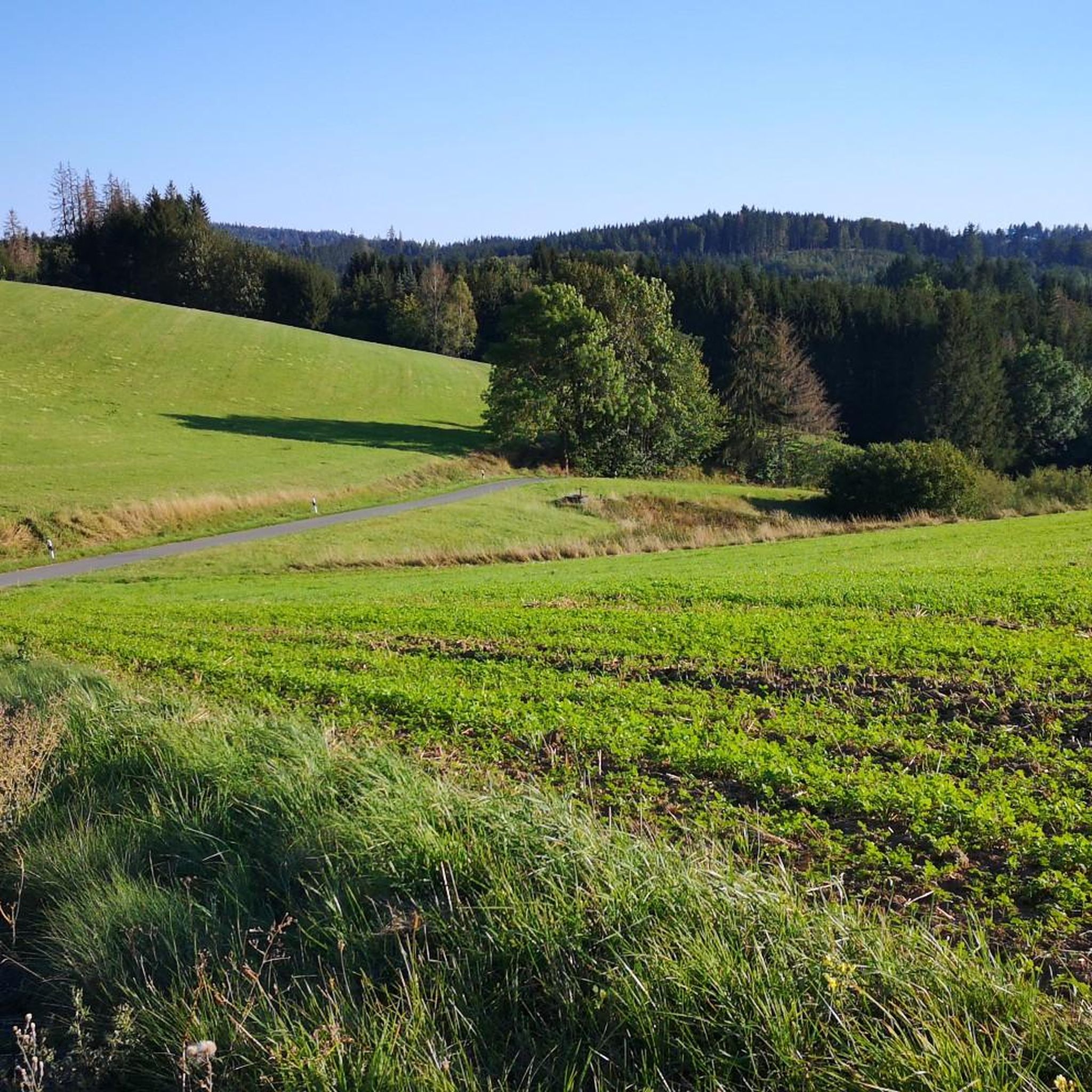
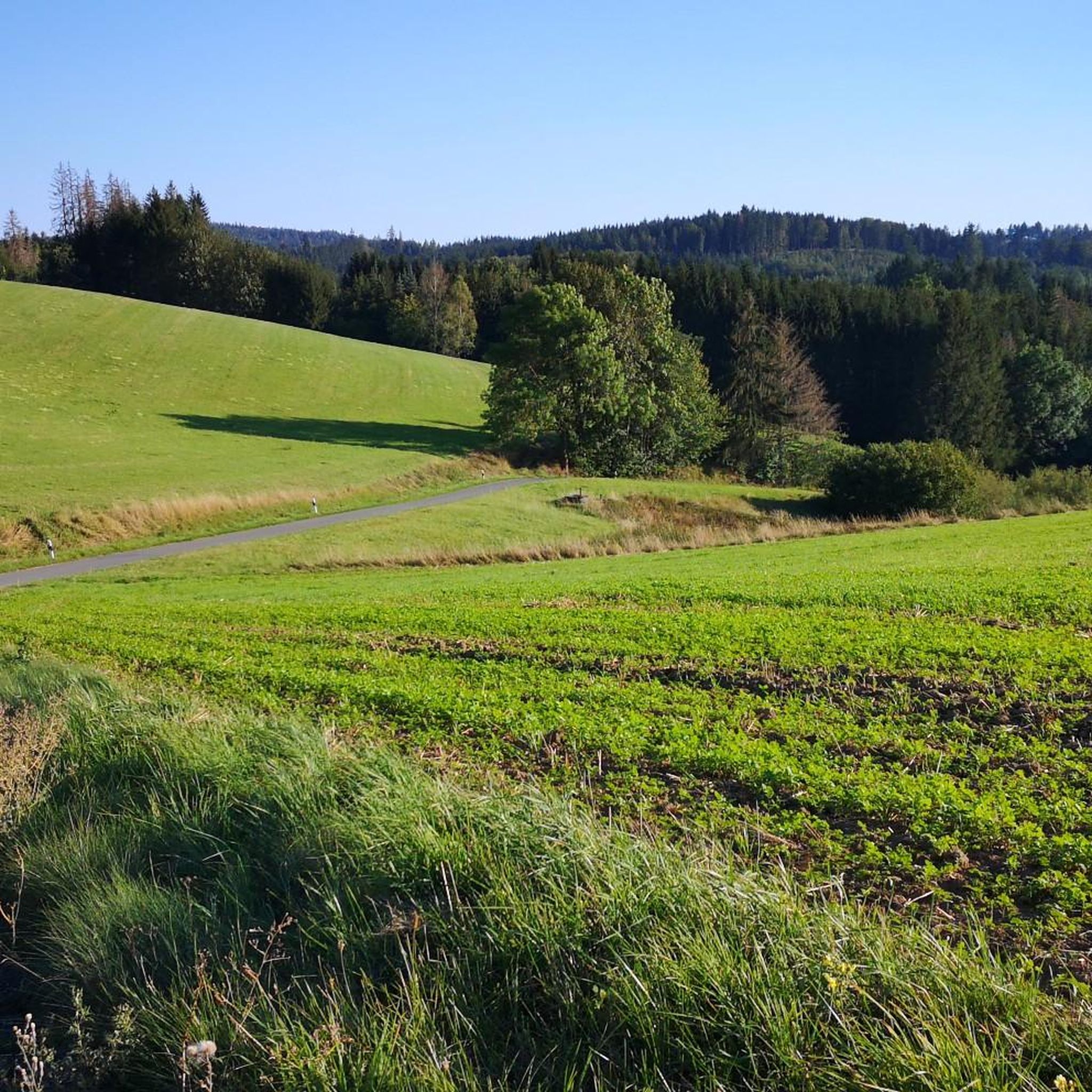
The route climbs gently almost continuously, gaining a total elevation of 150 meters. Unfortunately, more and more forest disappears along the route.
1
0

It goes 10 km uphill, but never steep
0
0

Great! Beautiful asphalt, beautiful nature.
0
0

Beautiful place, a must see
0
0

The Naila-Schwarzenbach am Wald cycle path runs for a good eight kilometers along the former railway line from Schwarzenbach am Wald to Naila. Thanks to the route being optimized for railway purposes, you can enjoy varied landscapes without any major differences in altitude. The cycle path is also used by pedestrians, so as always, please be considerate.
3
0

A very beautiful shelter in an idyllic location. There is also a table and benches outside the hut. Ideal for a rest.
3
0

Frequently Asked Questions
Are there huts around Grafengehaig that offer overnight stays?
Yes, the Mountain Rescue Hut and Rest Area below Döbraberg is a designated trekking site where you can pitch a tent. It provides floor space for four tents, a fireplace, firewood storage, and an outdoor toilet. An overnight stay costs 10 euros and needs to be booked in advance.
Which huts offer the best views in the Grafengehaig area?
For expansive views, visit Döbraberg, the highest peak in the Franconian Forest. From its summit, you can see the Fichtel Mountains, Thuringian Forest, and the Coburg region. The Mountain Rescue Hut and Rest Area below Döbraberg also offers an overwhelming view to the west, extending to Veste Coburg and the Rhön on clear days. Additionally, the Geuserberg Summit Cross and Rest Area provides good views due to recent deforestation.
Are there family-friendly huts or shelters around Grafengehaig?
Many of the huts and shelters in the region are considered family-friendly. The Mountain Rescue Hut and Rest Area below Döbraberg and the Koserruh Hiker’s Rest Shelter are both suitable for families. The Döbraberg summit also features a small wooden hut and shelter that can be enjoyed by families.
Where can I find refreshments or a cafe near the huts?
The Flößerhaus Wallenfels is a historical site that also functions as a cafe, offering coffee, cake, and snacks. It's an ideal stop for hikers on weekends, typically open on Sundays from 1:30 p.m. to 6:00 p.m., with the last Sunday of the month closed. The Mountain Rescue Hut and Rest Area below Döbraberg is usually open on Sundays, where you can buy drinks from the mountain rescue service.
What kind of natural features can I expect to see near the huts?
The huts are situated within the Franconian Forest, known for its forested hills. Near the Koserruh Hiker’s Rest Shelter, you'll find the Koserbach rippling nearby, creating a peaceful natural environment. The Döbraberg offers panoramic views of distant mountain ranges, while the Geuserberg Summit Cross and Rest Area provides views from its forested summit.
Are there historical sites or cultural points of interest near the huts?
Yes, the Flößerhaus Wallenfels is a historical site that draws attention to the region's rafting history. Additionally, the Koserruh Hiker’s Rest Shelter features a devotional cross and is a stop for many pilgrimages, including the star pilgrimage route, making it a place of worship in nature.
What outdoor activities can I do near these huts?
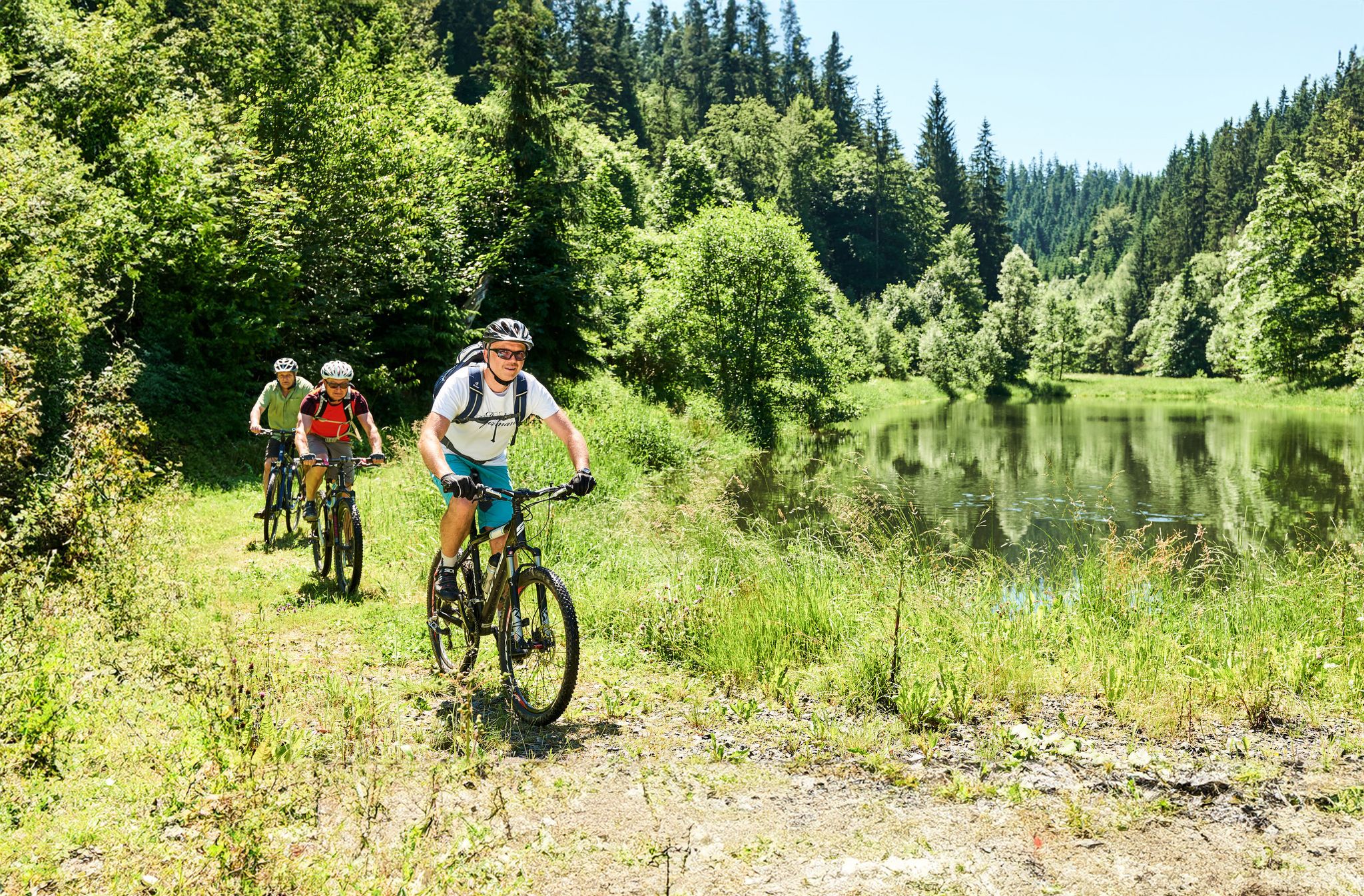
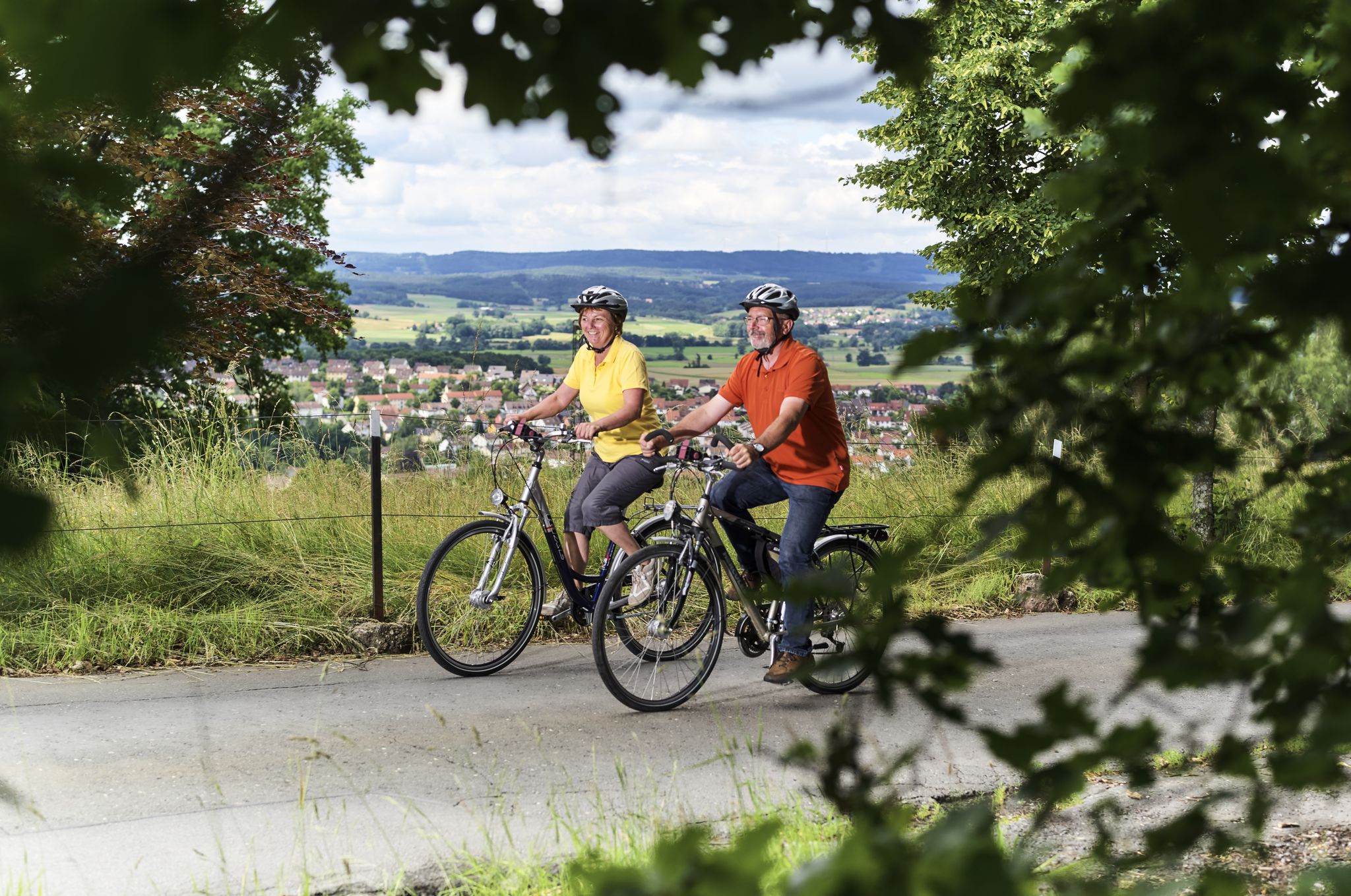
The area around Grafengehaig offers various outdoor activities. You can explore numerous running trails, such as the 'Ruins of Gasthof Rehbachtal – Kleinreh Mill loop from Grafengehaig' which is a moderate 7.6 km route. For cycling, there are options like the 'Ums Rehbachtal mit seinen Mühlen' route, a moderate 14.4 km tour. Gravel biking is also popular, with routes like the 'Kieswäsch Kiosk – View of Plassenburg Castle loop from Untersteinach(b Stadtsteinach)', an easy 25.7 km ride. You can find more details on these activities in the Running Trails around Grafengehaig, Gravel biking around Grafengehaig, and Cycling around Grafengehaig guides.
What do visitors enjoy most about the huts and shelters in this region?
Visitors appreciate the practical amenities and the natural beauty. Many enjoy the stunning views from summits like Döbraberg and the peaceful rest areas like Koserruh Hiker’s Rest Shelter. The opportunity for overnight stays at trekking sites like the Mountain Rescue Hut and Rest Area below Döbraberg is also highly valued, allowing for unique experiences under the stars.
Are there any shelters that provide protection from rain but are not open for full service?
Yes, the Geuserberg Summit Cross and Rest Area has a private hiking hut at the summit. While it is typically closed for full service, it offers protection from rain, making it a useful spot for a quick break during your hike.
Can I find a quiet place to rest by a stream near Grafengehaig?
The Koserruh Hiker’s Rest Shelter is located right by the Koserbach, offering a nice, quiet place to rest. Hikers can enjoy the sound of the rippling stream and the birdsong in this serene environment.
What is the highest point in the Franconian Forest with a hut?
The highest peak in the Franconian Forest is Döbraberg, standing at 794 meters. It features a small wooden hut and shelter at its summit, providing a resting spot with extensive views.
Most popular routes around Grafengehaig
Most popular attractions around Grafengehaig

Get inspired with the komoot mobile app


Explore more
Find more beautiful huts and cabins around Grafengehaig by checking out the top ones in these nearby places:
