The 4 Most Amazing Peaks around Gnotzheim
Best mountain peaks around Gnotzheim are found in the western part of the Weißenburg-Gunzenhausen district in West Central Franconia, situated at the foot of the Hahnenkamm. The region features a landscape of rolling hills, green meadows, and dense forests. While not characterized by towering peaks, its notable elevations offer scenic views and hiking opportunities. Spielberg is identified as the highest elevation within the Gnotzheim municipality.
Best mountain peaks around Gnotzheim
- The most popular mountain peaks is Gelber Berg (Gelbe Bürg)…
Last updated: June 27, 2026
Hesselberg Landscape Protection Area
Highlight • Natural Monument
Biotope
Geotope
designated 1985, with a size of 1475.5ha
BIOTOP Hesselberg:
The Hesselberg is a retreat for numerous rare and protected plant and animal species. Due …
Translated by Google •
Tip by

Gelber Berg (Gelbe Bürg) Viewpoint
Highlight • Viewpoint
A map shows the directions with prominent sights.
Translated by Google •
Tip by

Sign up now to discover places like this
Get recommendations on the best single tracks, peaks, & plenty of other exciting outdoor places.
Sign up for free
Ascent from Sammenheim to Gelber Berg
Highlight (Segment) • Climb
Driveway start town exit or junction Sammenheim (altitude 470 m) up to about 1.8 km with about …
Translated by Google •
Tip by

Wachtlerberg Summit
Highlight • Summit
Translated by Google •
Tip by

Hörlesbuck (635 m)
Highlight • Mountain Pass
Translated by Google •
Tip by

Sign up for free to discover even more peaks around Gnotzheim.
Sign up for free
Already have an account?
Start today with a free account
Your next adventure awaits.
Login or Signup


Tips from the Community

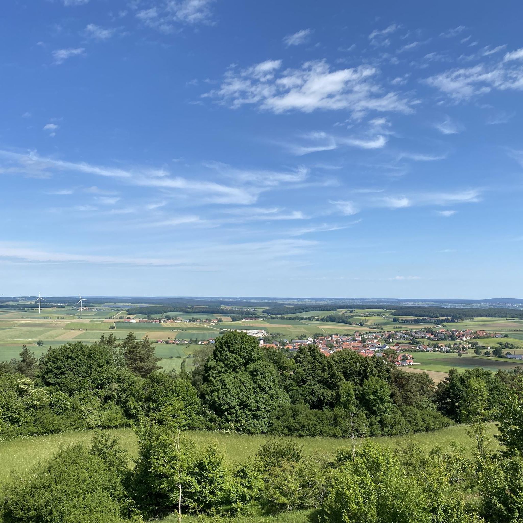
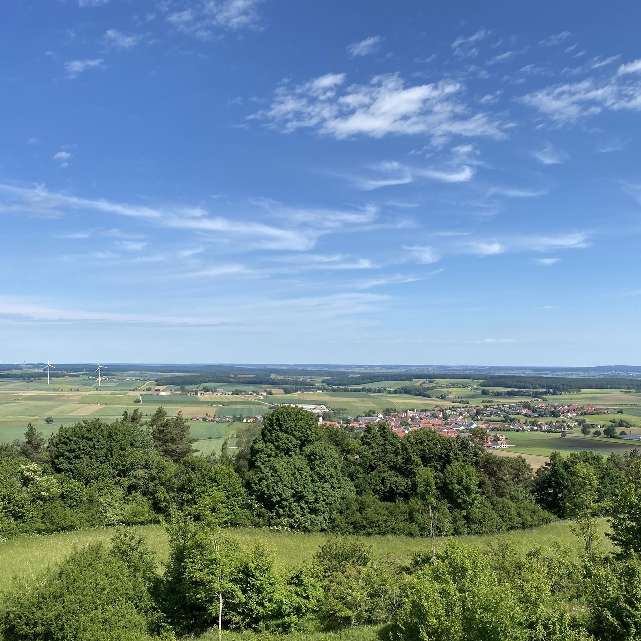
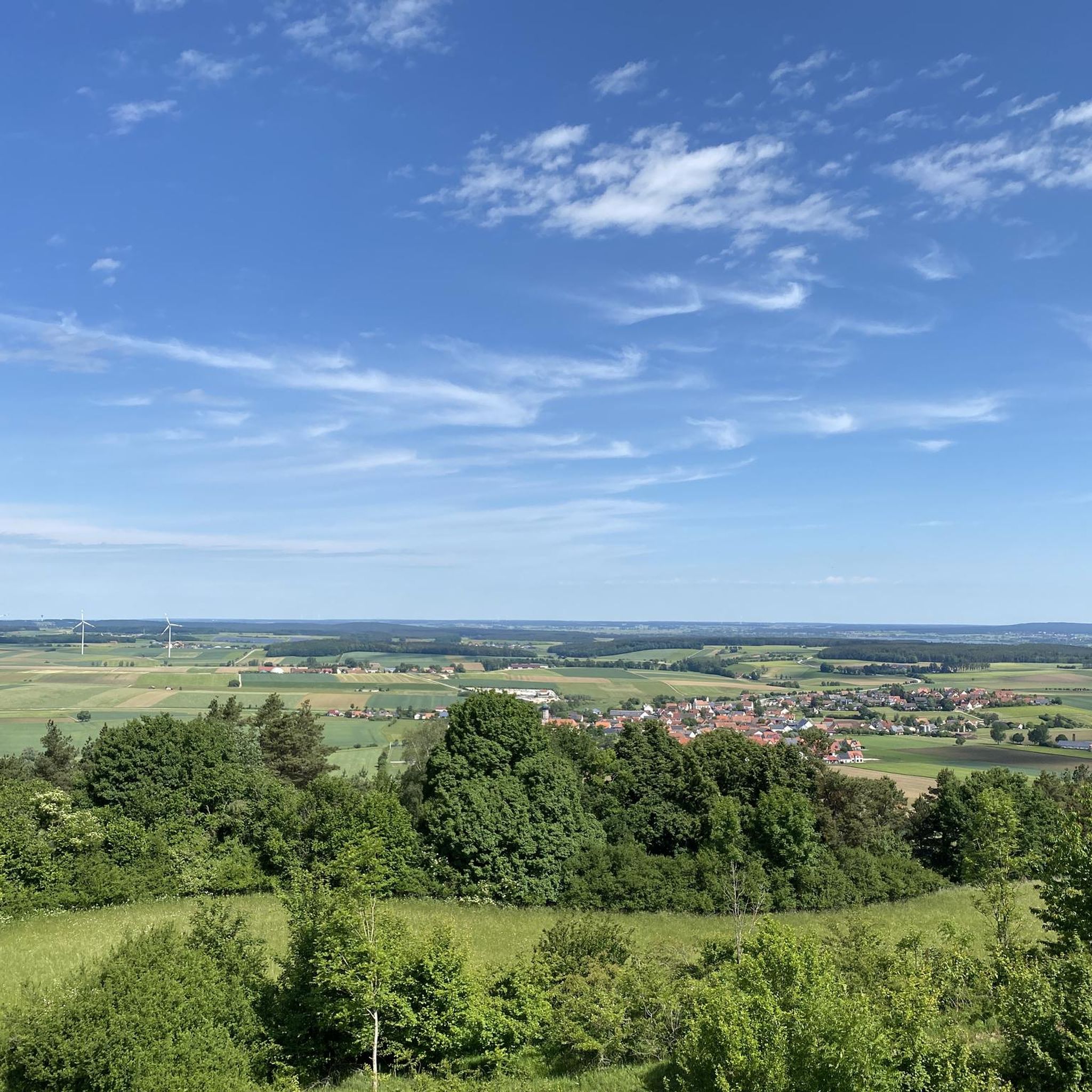
The Hörlesbuck in Heidenheim-Degersheim is the sixth highest point in Middle Franconia and offers beautiful views over the rolling hills of the area.
0
0

There is a free telescope to see the surroundings in more detail, several places to sit and a great view. A map shows the directions with prominent sights.
11
0
There is a free telescope to see the surroundings in more detail, several places to sit and a great view. A map shows the directions with notable sights. The Hesselberg (the highest elevation in Middle Franconia), the Altmühlsee and the Brombachsee are listed. But the small towns with their church towers also fit together wonderfully to create a wonderful panorama.
9
0

The Hörlesbuck (635 m above sea level) is one of the highest road crossings on the Hahnenkamm.
0
2

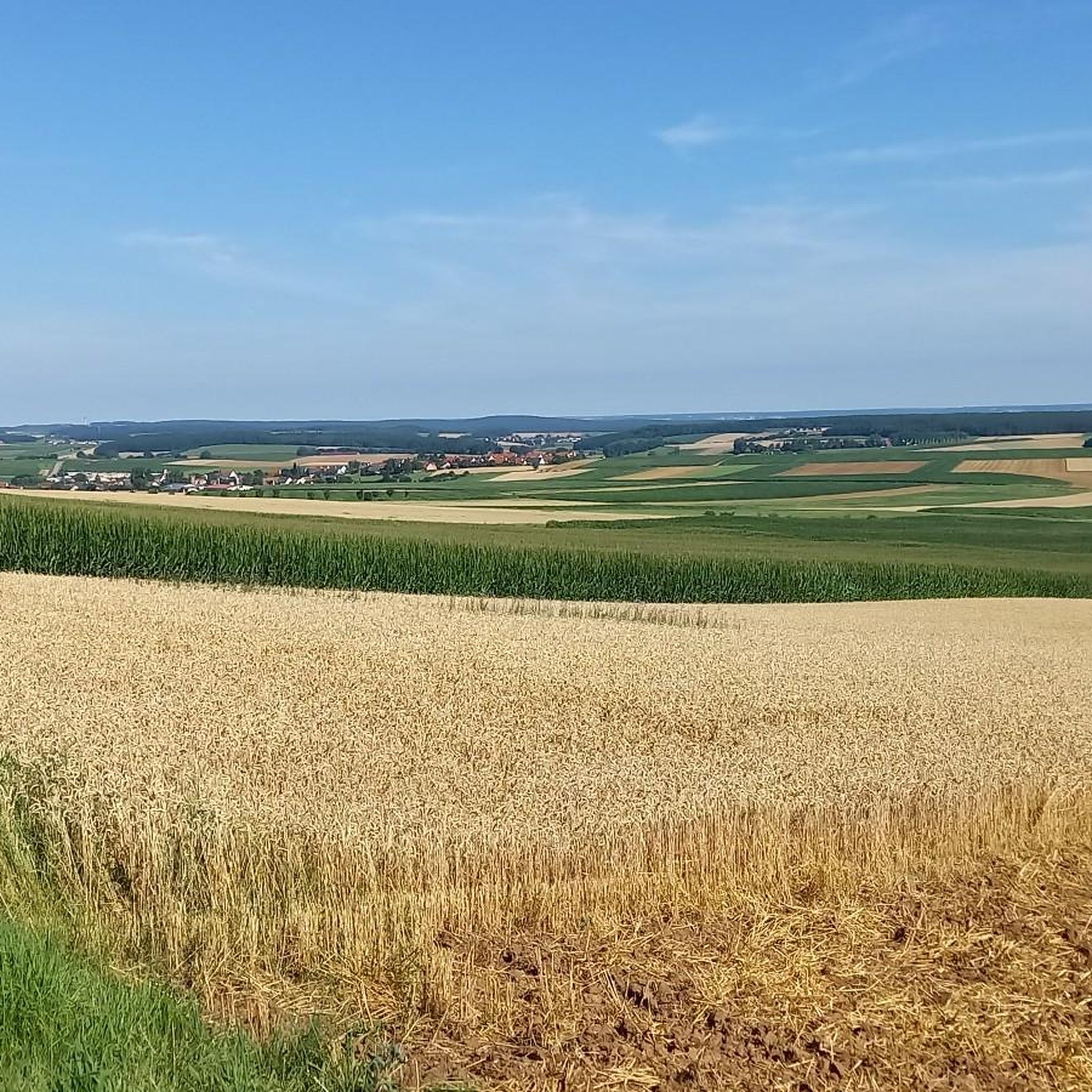
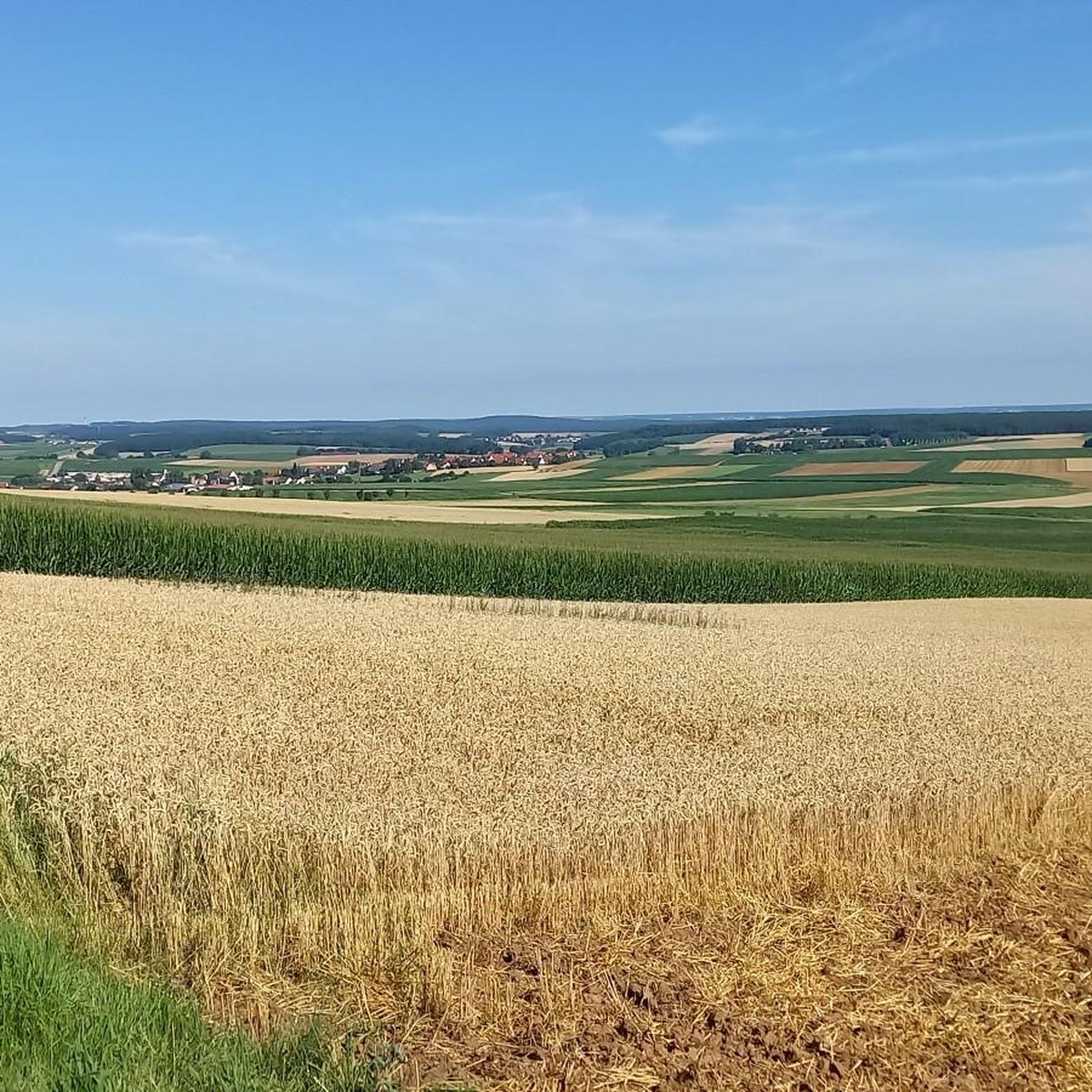
The Yellow Mountain, also known as the Yellow Castle, is home to botanical treasures. Here you should definitely stay on the paths / paths. The view is also fantastically beautiful.
7
0

very nice view all around, very quiet place and nice paths
4
0

Here, too, you can start a tour well
0
0

Landscape protection area (LSG-00372.01) Biotope Geotope designated 1985, with a size of 1475.5ha BIOTOP Hesselberg: The Hesselberg is a retreat for numerous rare and protected plant and animal species. Due to the special location and geology, rare plants such as silver thistle, thyme, gentian or pasque flower can grow. With its extensive dry grass slopes and the juniper heather, the Hesselberg offers a refuge for numerous animals. ... The slopes of the Hesselberg have been grazed extensively for centuries. Without the herds of sheep (Hesselberg lamb), the flowering and unfertilized poor meadows would quickly have overgrown. The abundance of herbs on the Hesselberger Hutungen provides a healthy and formative nutritional basis for the Hesselberg lamb. ... The so-called mountain witch, a particularly rare species of butterfly, has a prominent position in the animal world. GEOTOP Hesselberg: THE ZEUGENBERG AS ONE OF THE MOST BEAUTIFUL GEOTOPES IN BAVARIA The Hesselberg was named one of "Bavaria's most beautiful geotopes" by the Bavarian State Office for the Environment. It is one of the most important geological natural wonders of Bavaria. Its summit made of Malm limestone bears witness to the formerly much larger area of the Franconian Alb plateau, hence the name Zeugenberg. The Hesselberg towers over its surrounding area by more than 200 meters. ORIGIN The Hesselberg owes its origin to its special location in the area of a shallow tectonic basin and the phenomenon of "relief reversal". While the rocks outside the hollow were removed over the course of millions of years, those inside the hollow remained protected longer. The Hesselberg includes the entire layered spatula from the Lias to the Malm. The sedimentary rocks were formed in the Jurassic Sea. The Hesselberg is therefore older than the Alps. https://www.hesselberg.de/ https://www.lfu.bayern.de/geologie/bayerns_schoenste_geotope/28/
1
0
Frequently Asked Questions
What are the most popular viewpoints and summits around Gnotzheim?
Visitors frequently enjoy the Gelber Berg (Gelbe Bürg) Viewpoint, which offers fantastic panoramic views of the Gunzenhausen Plain, the Franconian Lake District, and the Weißenburger Land. It even has a free telescope for detailed observation. Another popular spot is the Wachtlerberg Summit, known for its impressive views and artistic summit cross after a rewarding ascent.
Are there challenging climbs or ascents for experienced hikers?
Yes, for those seeking a challenge, the Ascent from Sammenheim to Gelber Berg is a notable climb. This route leads to a summit approximately 606 meters high, with an ascent of about 130 meters over 1.8 kilometers, featuring sections with up to a 22% slope.
What natural features can I explore in the Gnotzheim area?
The region is characterized by rolling hills, green meadows, and dense forests. A significant natural area is the Hesselberg Landscape Protection Area, recognized as one of Bavaria's most beautiful geotopes. It's a retreat for numerous rare and protected plant and animal species, including silver thistle and the mountain witch butterfly, thriving on its extensive dry grass slopes and juniper heaths.
What cultural or historic sites are near the peaks?
The most prominent historic site is Schloss Spielberg (Spielberg Castle), which has stood over the Altmühltal since the 12th century. Hiking trails around the castle offer magnificent panoramic views. The 'Gnotzheim-Spielberg - Streuobst Erlebnislandschaft' also provides a walking trail highlighting local history and nature, including old fruit tree varieties.
Are there family-friendly activities or trails around Gnotzheim's elevations?
Yes, the Hahnenkamm-Erlebnispfad (Hahnenkamm Adventure Trail) is an interactive nature trail designed to connect visitors, especially children and teenagers, with nature and the environment. Additionally, the 'Gnotzheim-Spielberg - Streuobst Erlebnislandschaft' offers an educational walking trail focusing on fruit tree diversity, which can be enjoyable for families.
What are some hiking opportunities near Gnotzheim's peaks?
The area provides ideal conditions for various hikes. A particularly recommended moderate route is the 'Gelber Berg Schloss Spielberg' trail, known for its scenic views. You can find more hiking options, including routes like 'View of Gelber Berg loop from Gnotzheim' and 'Spielberg Castle – Bench at Spielberg Castle loop from Gnotzheim', in the Hiking around Gnotzheim guide.
Can I go mountain biking near Gnotzheim's elevations?
Absolutely! The region offers several mountain biking trails. For example, you can explore routes like 'View of Spielberg Castle – Spielberg loop from Gnotzheim' or longer tours such as 'Altmühlsee – Great Brombach Lake loop from Unterwurmbach'. More details can be found in the MTB Trails around Gnotzheim guide.
What is the highest point in the broader area around Gnotzheim?
While Spielberg is the highest elevation within the Gnotzheim municipality, the broader topographic area includes elevations up to 646 meters. The Hörlesbuck (635 m) is notable as the sixth highest point in Middle Franconia, offering beautiful views over the rolling hills.
What do visitors appreciate most about the peaks around Gnotzheim?
Visitors particularly enjoy the panoramic views from various viewpoints, the diverse hiking opportunities through rolling hills and forests, and the blend of natural beauty with cultural significance, such as Schloss Spielberg. The community has shared 21 photos and given 33 upvotes for the area's highlights, reflecting its appeal.
Are there running trails available near these peaks?
Yes, there are several running trails in the vicinity. You can find moderate routes like 'View of Spielberg Castle – View from Gelber Berg loop from Obelshof' or 'Running loop from Heidenheim'. For more options, check out the Running Trails around Gnotzheim guide.
What is the Altmühltal Panorama Route and how does it relate to Gnotzheim?
The Altmühltal Panorama Route is a 200-kilometer trail that showcases the natural scenery along the Altmühl River, including sunny juniper heaths and romantic rock formations. Gnotzheim's geographical location, nestled among hills and forests, places it within this broader scenic region, offering access to parts of this extensive route for hiking and exploring.
Most popular routes around Gnotzheim
Most popular attractions around Gnotzheim

Get inspired with the komoot mobile app


Explore more
See even more amazing summits around Gnotzheim with these guides:
