The 3 Most Amazing Peaks around Sinzing
Best mountain peaks around Sinzing refers to the elevated points and hiking areas within this municipality in the district of Regensburg, Bavaria. While not characterized by towering peaks, the region offers "mountain-like" experiences with impressive views and notable natural features. The highest elevation within Sinzing is approximately 487 meters. The area provides diverse landscapes, including panoramic viewpoints over the Danube valley and unique rock formations.
Best mountain peaks around Sinzing
- The most popular mountain peaks is View of Schönhofen and…
Last updated: August 6, 2026
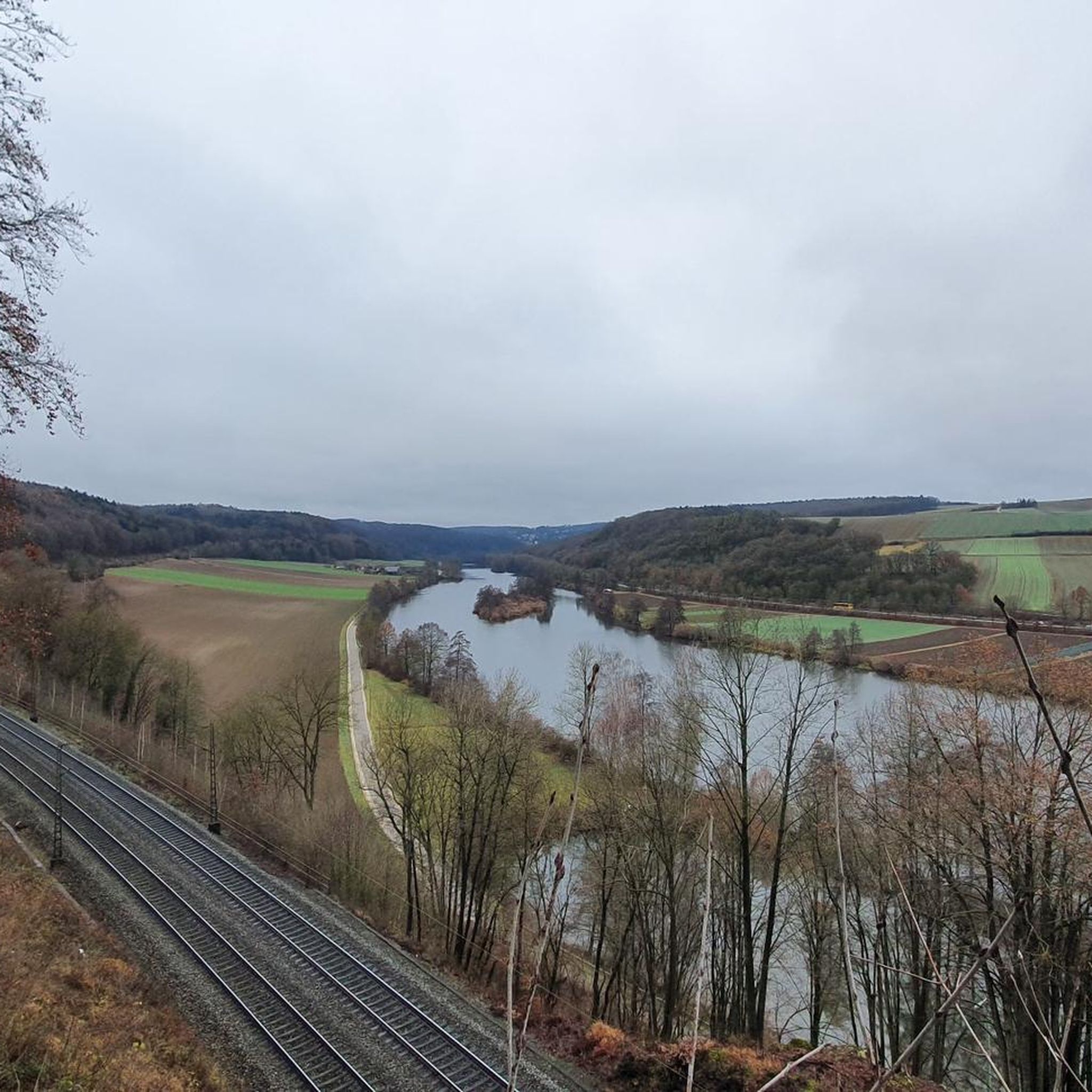
View of Schönhofen and the Labertal from the summit cross
Highlight • Summit
Translated by Google •
Tip by

Feckinger Berg
Highlight • Summit
Translated by Google •
Tip by

Sign up now to discover places like this
Get recommendations on the best single tracks, peaks, & plenty of other exciting outdoor places.
Sign up for free
Summit cross at Auf der Hutweide with views of Regensburg
Highlight • Summit
Translated by Google •
Tip by

Summit Cross Laberberg
Highlight • Summit
Translated by Google •
Tip by

Start today with a free account
Your next adventure awaits.
Login or Signup
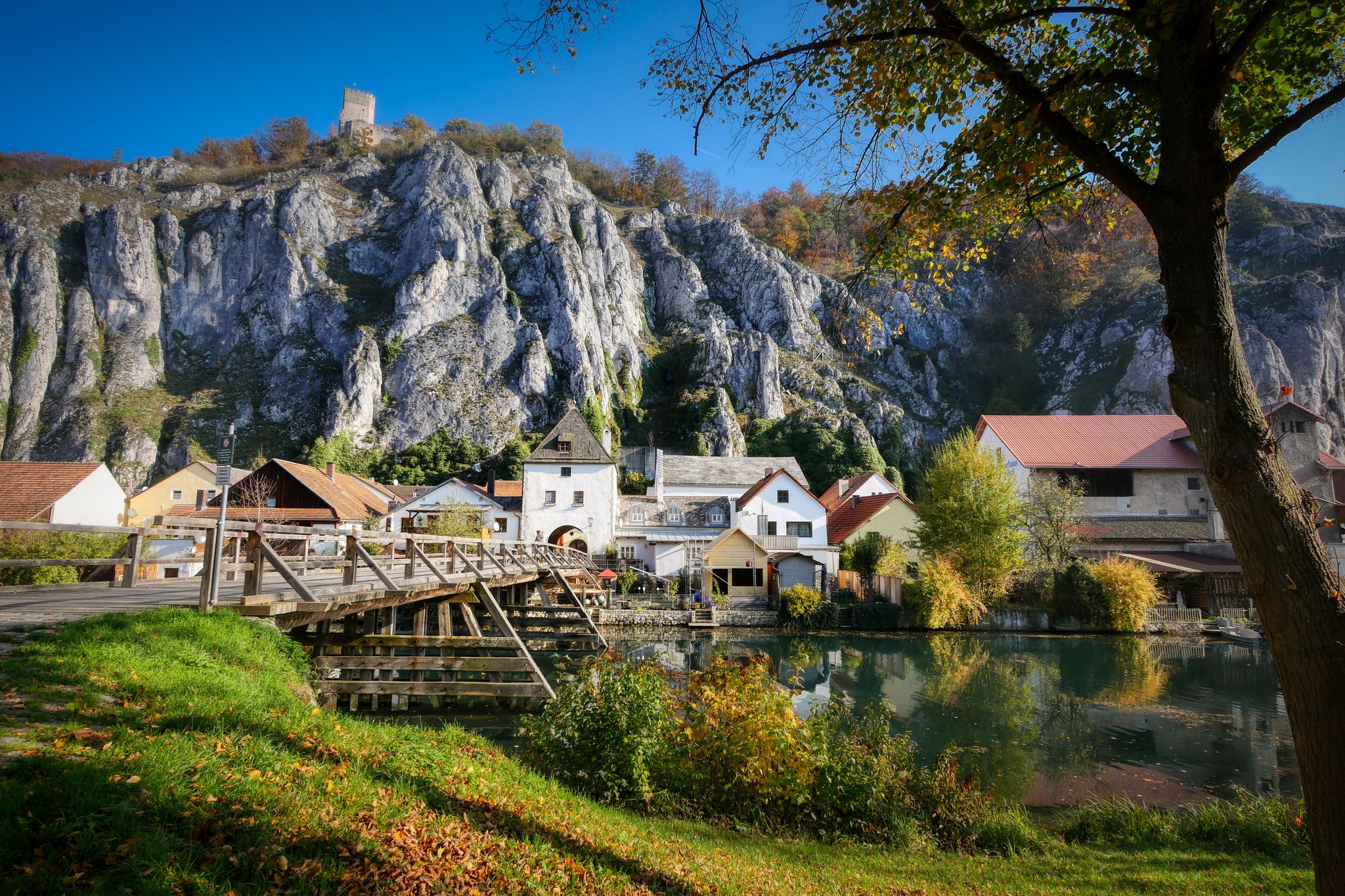
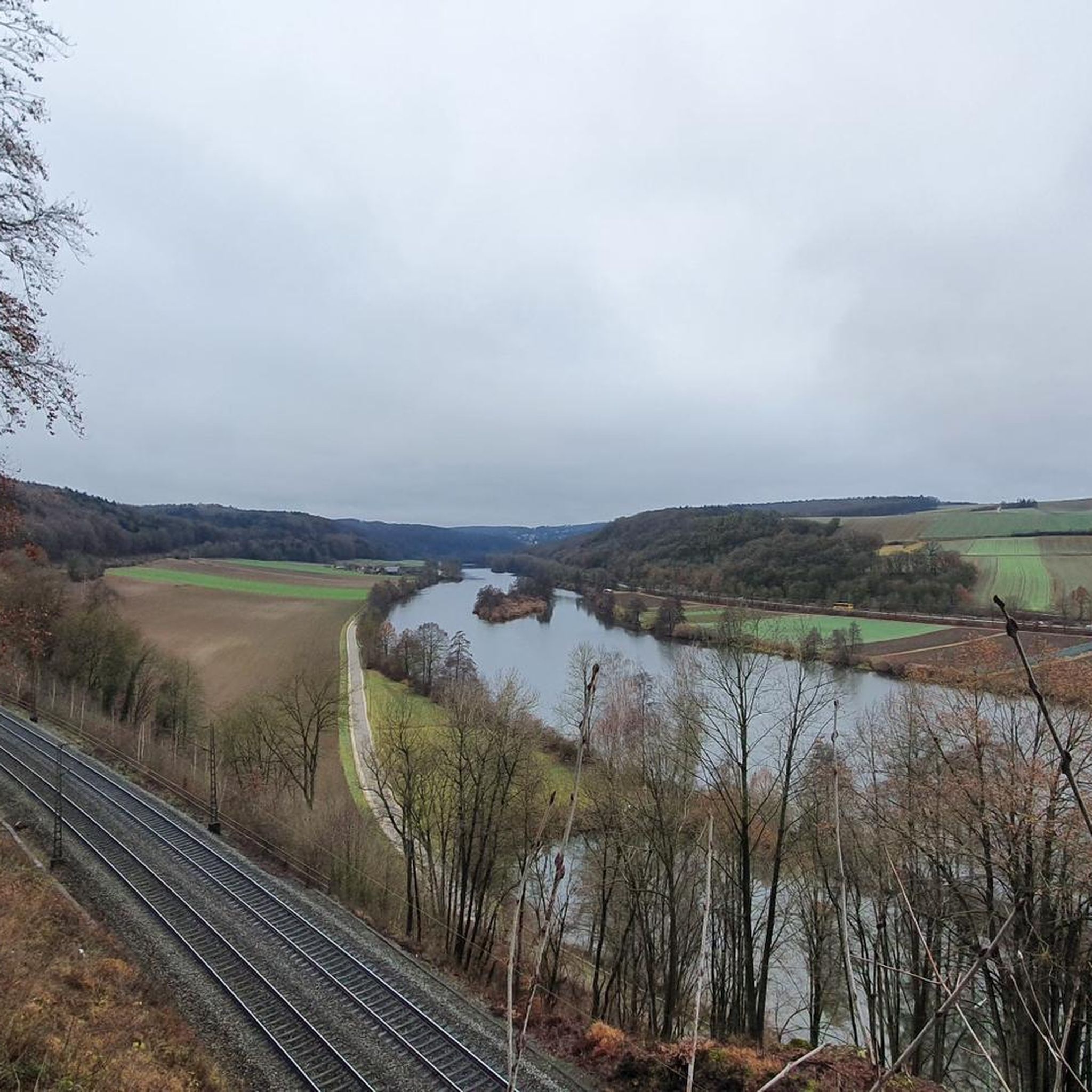
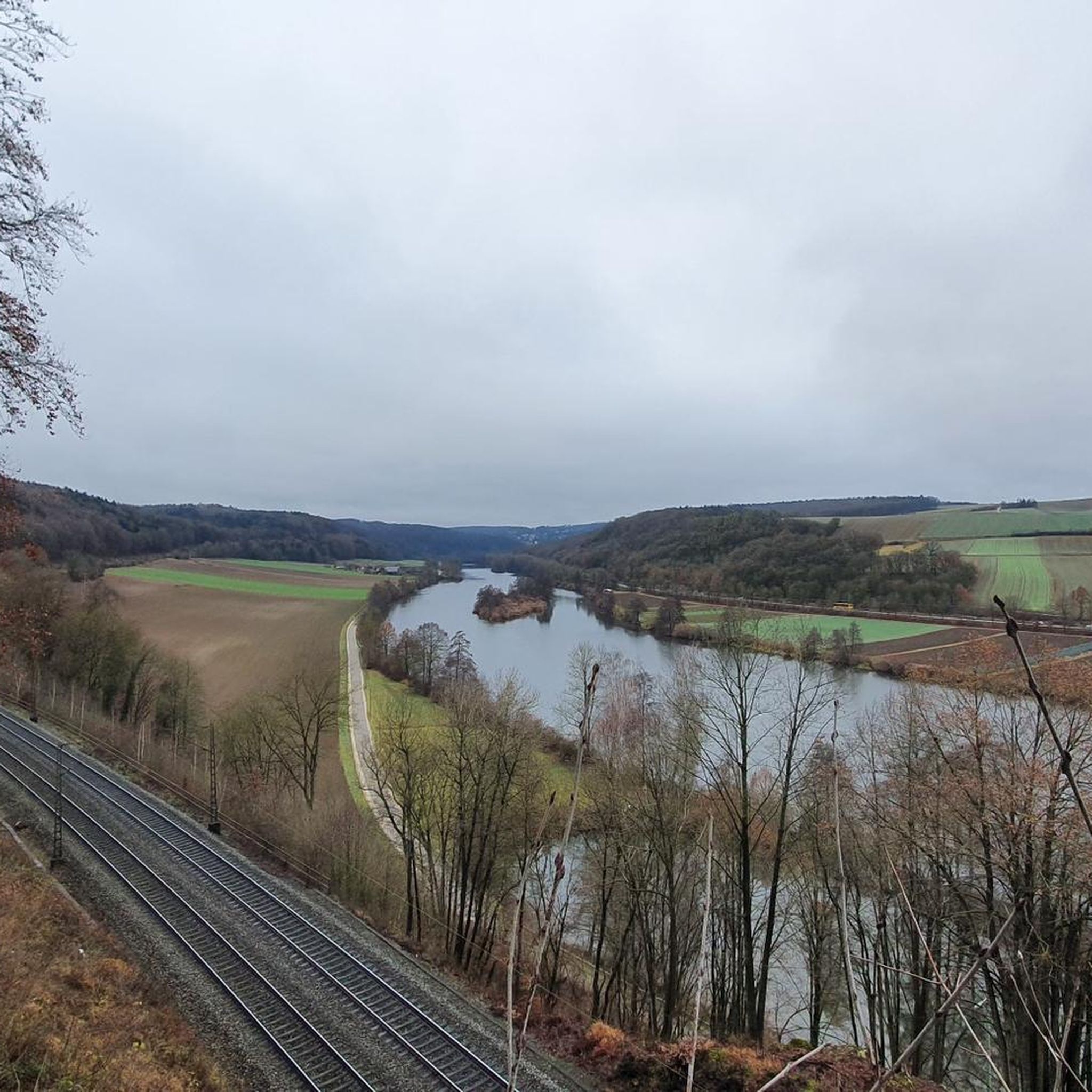
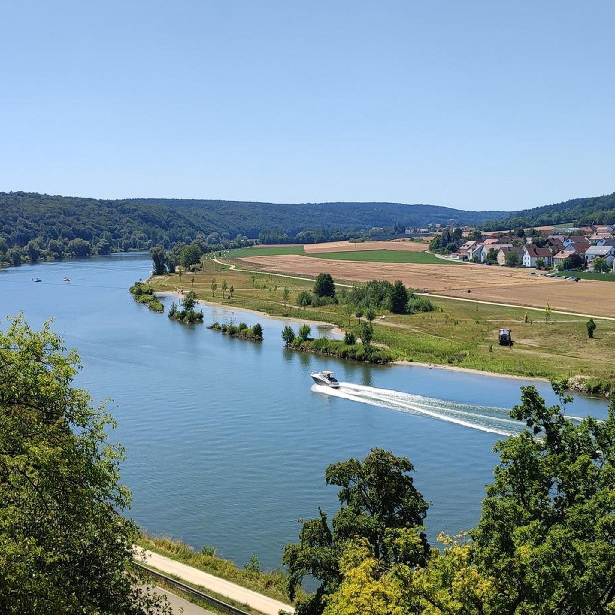
Other adventures around Sinzing

Tips from the Community

Feckinger Berg at 490m. But not much more. Located on the Holy Diver (UrTrails Altmühltal) Complete route: https://www.herzstueck.bayern/poi/detail/holy-diver-urtrails-altmuehltal-14f976e7a4
1
0

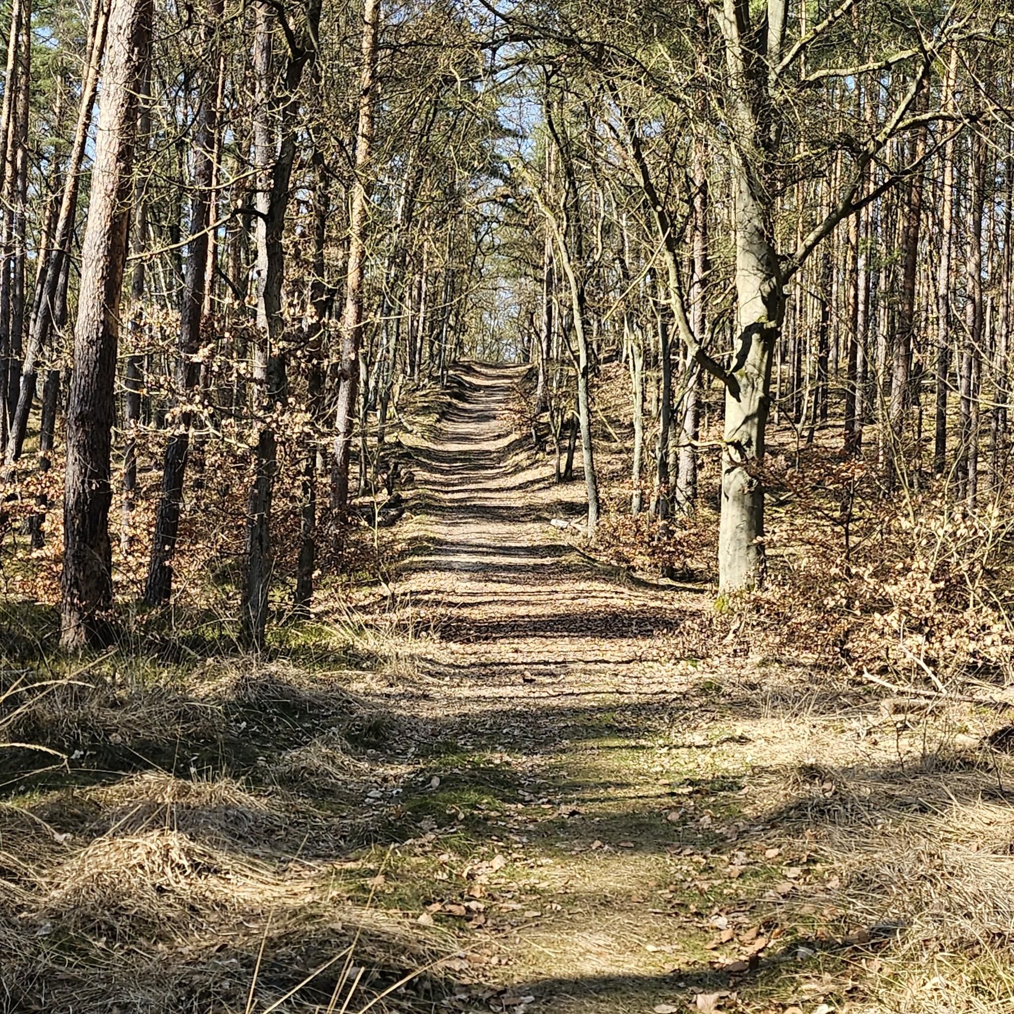
A very easy-to-cycle forest highway runs over the Feckinger Berg.
4
0

Near Keilberg, there's a nature reserve with a wonderful view of Regensburg. It features a summit cross, and the spot is called "Auf der Hutweide." From here, you can enjoy a wonderful panorama of the city. It's a popular spot for walkers, but also for romantics enjoying the sunset.
3
0

Summit cross on the Alpine Trail above Schönhofen
3
1

Great view of Regensburg...
0
1

One of the places where you have a good view of Schönhofen in the valley
3
1
One of the places where you have a good view of Schönhofen in the valley or the Black Laber
4
1
Schönhofen is most beautiful from above. The oldest inn in the world is also located here
3
1
Frequently Asked Questions
What are the most popular elevated points and viewpoints around Sinzing?
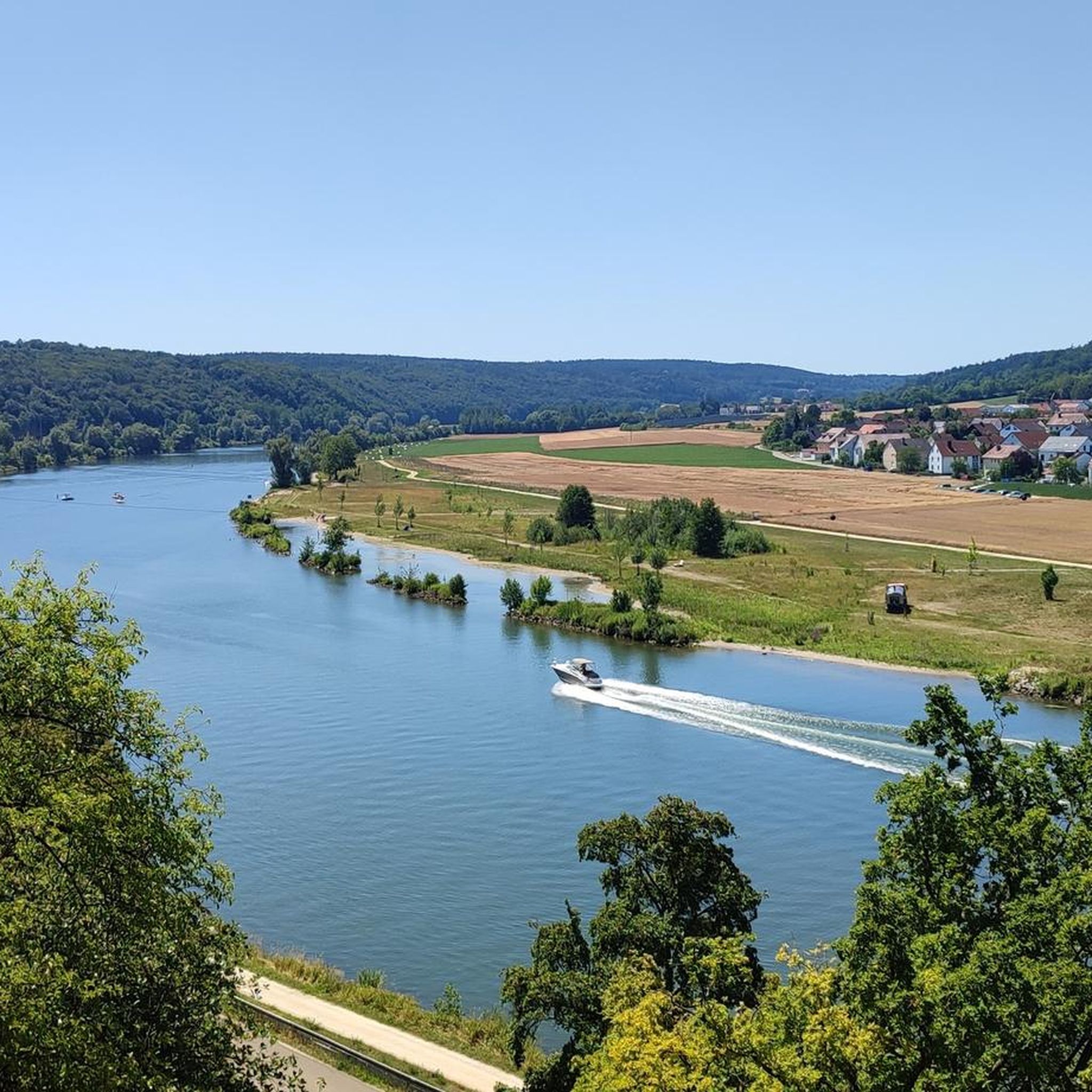
Visitors frequently enjoy the View of Schönhofen and the Labertal from the summit cross, which offers a beautiful perspective of the idyllic Labertal. Another favorite is the View of Regensburg and the Danube Valley from Keilstein, providing a clear vista of the Danube Valley. The Summit cross at Auf der Hutweide with views of Regensburg is also highly rated for its panorama of the city.
Are there family-friendly hiking options among the elevated points near Sinzing?
Yes, several areas are suitable for families. The path to the Hirschberg Lookout Point is known for its accessible trails, making it a great option for a scenic outing with varying forest landscapes. The View of Regensburg and the Danube Valley from Keilstein is also categorized as family-friendly.
What kind of natural features can I expect to see on hikes around Sinzing?
The region offers diverse natural beauty. You'll find panoramic views over the Danube valley and towards Regensburg, varied forest landscapes, and unique rock formations. The Schwarze Laber Valley, for instance, features narrow paths, idyllic dry grass slopes, and massive rock formations, particularly near Pfalzbauernberg, which are considered among the most beautiful in the Bavarian Jura.
Are there any historical sites or landmarks to discover near Sinzing's elevated points?
Yes, the area combines natural beauty with historical insights. The Schwarze Laber Valley includes cultural-historical sites like old mills and the route of the former 'Allinger Bockerl' railway line. The Schwarzer Fels lookout point, located above the Danube, has an information board detailing the former Schwarzenfels castle. Additionally, the Summit Cross Laberberg is situated where the old castle of Laber once stood.
What outdoor activities can I do near these elevated points?
Beyond hiking to viewpoints, Sinzing offers various outdoor activities. You can explore numerous routes for gravel biking, mountain biking, and running. For specific routes, check out the guides for Gravel biking around Sinzing, MTB Trails around Sinzing, and Running Trails around Sinzing.
Are there long-distance hiking trails that pass through the Sinzing area?
Yes, the Goldsteig, Germany's longest certified hiking trail, passes directly through Sinzing. This trail offers opportunities for extensive hikes through varied scenery, showcasing untouched nature and impressive views of the broader low mountain range region. It includes sections with moderate ascents and descents through forested landscapes.
What is the terrain like on the hiking trails around Sinzing?
The terrain around Sinzing is quite varied. You'll find accessible trails leading to lookout points like Hirschberg, as well as more challenging sections with narrow paths and rock formations, particularly in the Schwarze Laber Valley. Some areas, like the Feckinger Berg, feature easy-to-cycle forest highways, while others, like the path to Summit Cross Laberberg, are only accessible on foot or by mountain bike.
What do visitors enjoy most about the elevated points and hiking areas in Sinzing?
Visitors particularly appreciate the panoramic views, especially those overlooking the Danube Valley and the city of Regensburg. The combination of natural beauty, varied landscapes, and the presence of historical elements also makes the area appealing. Many enjoy the peaceful atmosphere and the opportunity to relax on viewing benches, such as the one at the View of Schönhofen and the Labertal from the summit cross.
Can I find trails suitable for mountain biking near Sinzing's elevated points?
Absolutely. While some summit areas might be foot-only, many trails around Sinzing are excellent for mountain biking. For example, a very easy-to-cycle forest highway runs over the Feckinger Berg. You can find a comprehensive selection of routes in the MTB Trails around Sinzing guide.
What is the highest elevation within the municipality of Sinzing?
The highest elevation within Sinzing itself is approximately 487 meters (1,598 feet). While not towering peaks, these elevated points offer significant 'mountain-like' experiences with impressive views.
Are there specific viewpoints that offer clear views of the Danube Valley?
Yes, the View of Regensburg and the Danube Valley from Keilstein is renowned for its clear view of the Danube Valley. Additionally, the Hirschberg Lookout Point provides a magnificent panoramic view over the entire Danube valley, and the Schwarzer Fels offers great views into the Danube valley and towards Matting.
Are there any areas with unique rock formations in Sinzing?
The Schwarze Laber Valley is particularly noted for its impressive rock formations. Near Pfalzbauernberg, hikers can experience a unique dry grassland landscape framed by these formations, which are considered among the most beautiful in the Bavarian Jura.
Most popular routes around Sinzing
Most popular attractions around Sinzing

Get inspired with the komoot mobile app


Explore more
See even more amazing summits around Sinzing with these guides:
