The best MTB trails around Krauchthal
4.5
(1727)
8,658
riders
14
rides
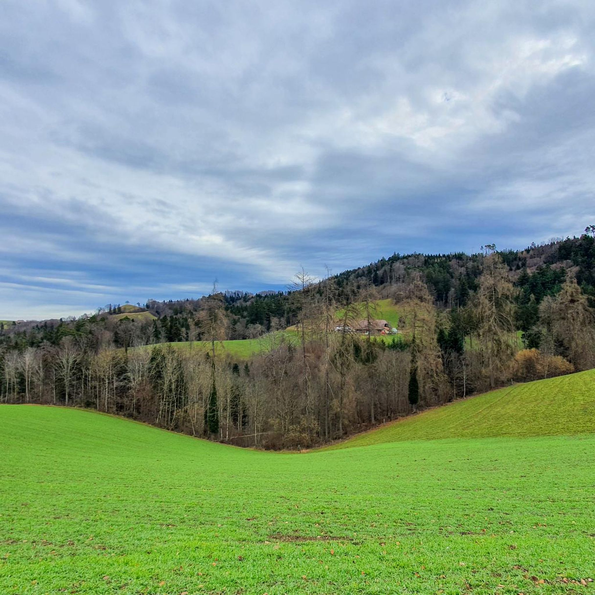
Mountain biking around Krauchthal, located in the Canton of Bern, Switzerland, offers diverse terrain for riders. The region features rolling hills, dense forests, and clear river valleys, providing a mix of well-paved and unpaved segments. Notable sandstone formations and picturesque landscapes characterize the area, offering varied routes for different skill levels.
Best mountain bike trails around Krauchthal
- The most popular mountain bike trail is Spycher-Stübli Rest Stop – Mülerewald Trail loop from Mötschwil, a 17.0 miles (27.4 km) trail…
Last updated: June 28, 2026
4.7
(3)
25
riders
26.3km
02:16
560m
560m
Moderate mountain bike ride. Good fitness required. Suitable for all skill levels.
5.0
(4)
16
riders
Moderate mountain bike ride. Good fitness required. Advanced riding skills necessary.

Sign up for free
5.0
(5)
13
riders
20.8km
01:43
450m
450m
Moderate mountain bike ride. Good fitness required. Suitable for all skill levels.
5.0
(22)
21
riders
21.9km
01:50
450m
450m
Moderate mountain bike ride. Good fitness required. Suitable for all skill levels.
5.0
(3)
12
riders
17.9km
01:49
410m
410m
Moderate mountain bike ride. Good fitness required. Advanced riding skills necessary.
Get access to more routes and recommendations from other explorers.
Sign up for free
Already have an account?
Our route recommendations are based on thousands of hikes, rides, and runs completed by other people on komoot.
Start today with a free account
Your next adventure awaits.
Login or Signup
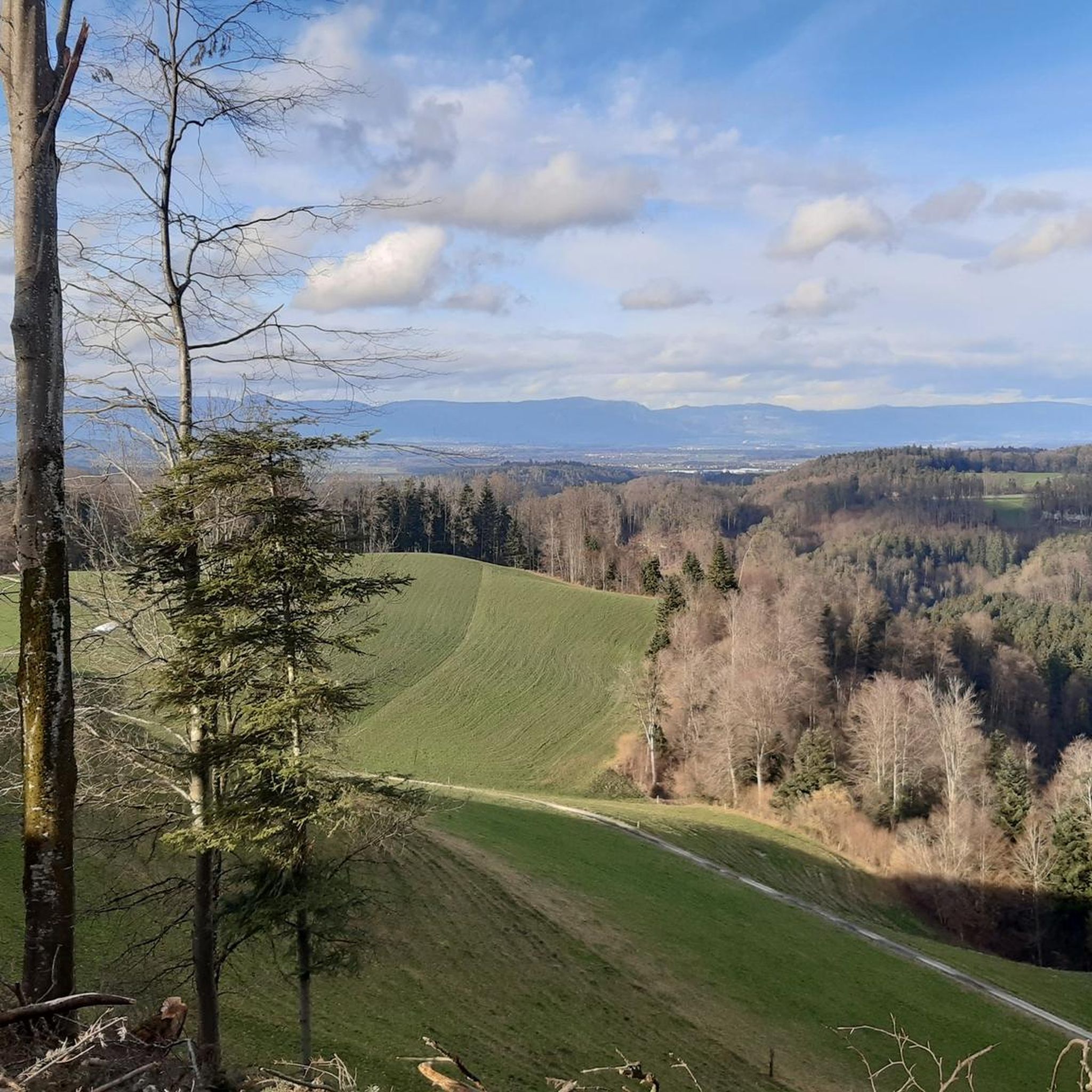
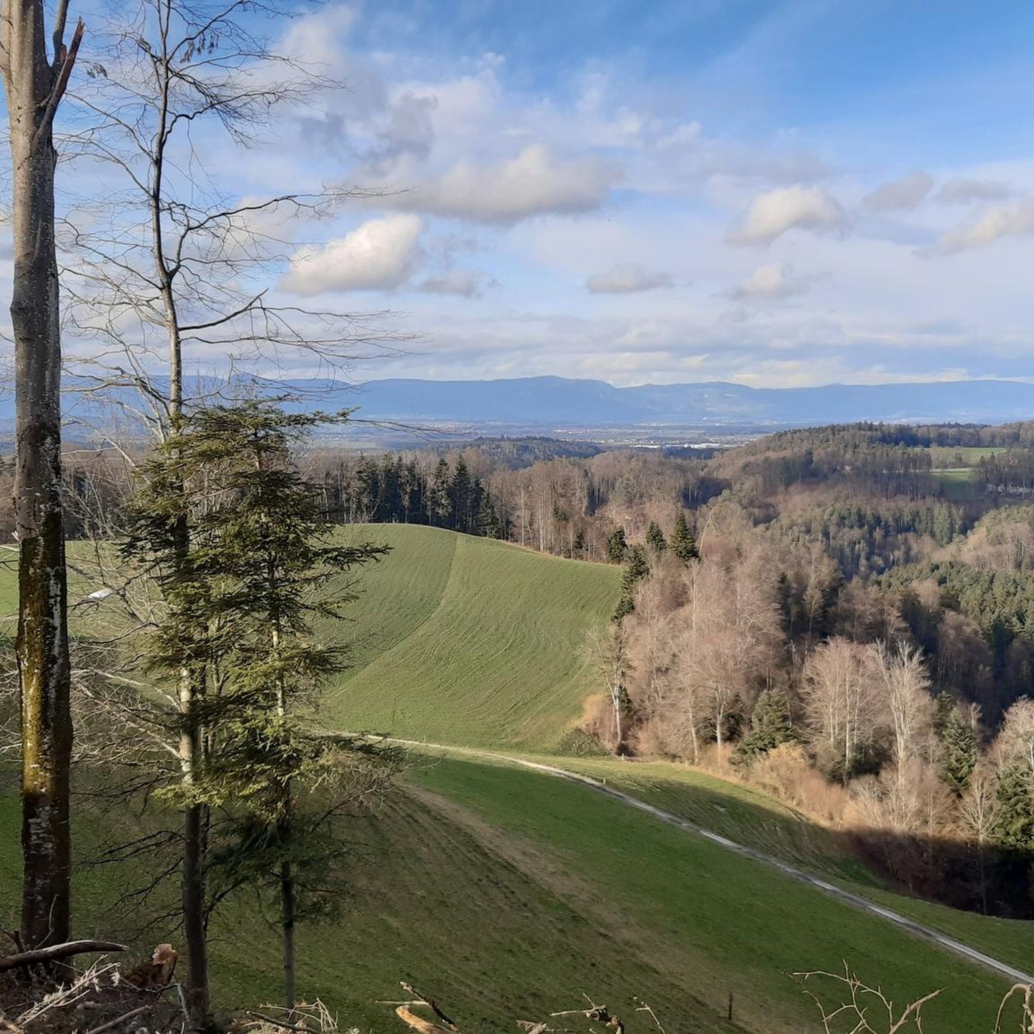
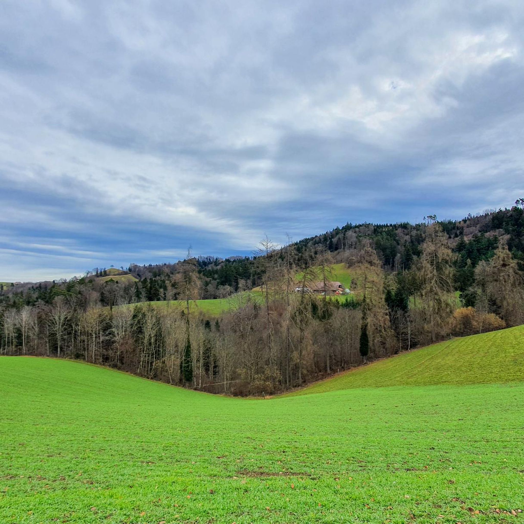
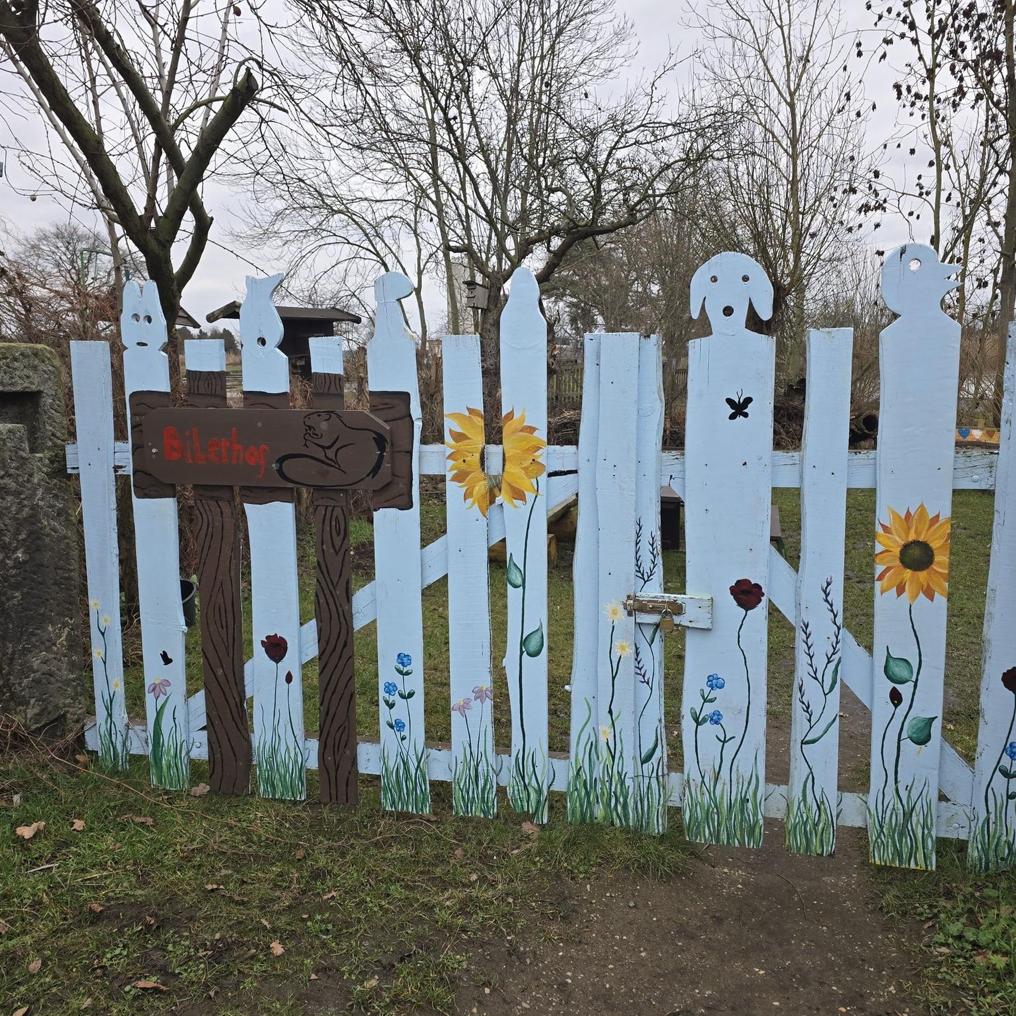
Tips from the Community

At 1000 meters above sea level, it's often sunny even in foggy conditions. See https://nebelkarte.ch for more information.
0
0

🏔️ Bantiger – Bern's local mountain with panoramic views 🌟🚶♂️ The Bantiger (947m) is located northeast of Bern and is a popular destination for hikers, bikers, and walkers. From its striking radio tower with viewing platform, you can enjoy a fantastic 360° panoramic view – from the Jura Mountains to the Bernese Alps! 🥾 Highlights: Easy ascent from Stettlen, Deisswil, or Ferenberg Observation tower: Free access to the platform below the transmission tower – incredible views of the Eiger, Mönch, and Jungfrau 🏔️ Pure nature: Quiet paths through forests and fields – ideal for a relaxing hike 🌳 Accessible all year round – a lovely place for a stroll even in winter ❄️ 🚴♀️ Also very popular with mountain bikers – with rewarding uphills and fast descents! 📍 Tip: Best in clear weather – the view is simply unbeatable! 🔭🌞
1
1

Great all-round view in all directions
1
0

The Bantiger summit bike ride is a rewarding ride that offers stunning views of Bern, the Aare and the distant Alps. The climb takes you through the charming Swiss countryside, passing fields, farms and patches of forest. At the top, you will find a panoramic viewpoint, ideal for catching your breath and admiring the impressive scenery.
2
0
Climb up to the Bantiger viewpoint for a panoramic view of Bern and the surrounding Swiss plateau. From the summit, you can admire the city skyline, the Aare River and Bern Cathedral.
2
1

Take a moment to enjoy the great view before heading off to the delicious root trail 🙋♂️😉
0
0


It's a short but cool connecting path that can be driven in both directions. So please be careful, I've also had unexpected oncoming traffic 😉 ✌🏻🚵🏻♂️🤘🏻
1
0
Frequently Asked Questions
What is the general difficulty level of mountain bike trails in Krauchthal?
The mountain bike trails around Krauchthal primarily feature moderate difficulty, with a mix of rolling hills, dense forests, and varied terrain. While most of the 14 available routes are rated as moderate, there is also one easy route available, making the area accessible for different skill levels. You'll find both well-paved sections and more challenging unpaved segments.
Are there any easy mountain bike trails suitable for beginners in Krauchthal?
Yes, while most routes are moderate, Krauchthal does offer at least one easy mountain bike trail. The diverse terrain, including forests and river valleys, provides a good environment for those new to mountain biking to gain experience. The region's varied topography ensures there are options for those seeking a less strenuous ride.
What kind of terrain can I expect on mountain bike trails in Krauchthal?
Krauchthal's mountain bike trails offer a diverse terrain characterized by rolling hills, dense forests, and clear river valleys. You'll encounter a mix of well-paved surfaces and unpaved, challenging segments. The area is also known for its unique sandstone formations, which can add interesting geological features to your ride, particularly around areas like the Sandsteinpfad.
What are some notable landmarks or viewpoints I can expect to see while mountain biking in Krauchthal?
Many routes offer scenic views and pass by interesting landmarks. For panoramic vistas, consider routes that lead to the Bantiger Observation Tower, such as the View from the Bantiger Tower – Bantiger Observation Tower loop from Schloss Thorberg or the View from the Bantiger Tower – Bantiger Observation Tower loop from Krauchthal. The region also features impressive sandstone cliffs and old sandstone quarries, offering insights into local geology.
Are there any castles or historical sites accessible from the mountain bike trails?
Yes, the Krauchthal area is rich in history. You can find several castles nearby that add a cultural dimension to your ride. Notable examples include Burgdorf Castle, Jegenstorf Castle, and Worb Castle. While not directly on every trail, these historical sites are within the broader region and can be incorporated into extended tours or visited separately.
What do other mountain bikers enjoy most about the trails in Krauchthal?
The mountain bike trails in Krauchthal are highly rated by the komoot community, with an average score of 4.5 stars from over 1600 reviews. Riders often praise the diverse terrain, which includes rolling hills and dense forests, and the scenic beauty of the region. The mix of well-paved and unpaved segments also contributes to an engaging experience for many.
Are there any circular mountain bike routes in Krauchthal?
Yes, many of the mountain bike routes in Krauchthal are designed as loops, offering convenient circular journeys. Examples include the Spycher-Stübli Rest Stop – Mülerewald Trail loop from Mötschwil, which is 17.0 miles (27.4 km) long, and the Bantiger – Bantiger Observation Tower loop from Mötschwil, covering 13.8 miles (22.2 km).
What is the best time of year to go mountain biking in Krauchthal?
The region around Krauchthal is generally suitable for mountain biking during most of the year, with spring through autumn offering the most pleasant conditions. The dense forests provide shaded trails during warmer months, and the varied topography is enjoyable when the weather is mild. Always check local weather forecasts before heading out, especially for potential rain or snow in shoulder seasons.
Are there any natural water features or lakes near the mountain bike trails?
Yes, the landscape around Krauchthal features clear rivers and is close to several natural water bodies. You can find highlights such as Egelsee (Egelmösli), Bern and Moossee. These areas offer serene environments and can be a refreshing stop during your ride.
How long do mountain bike trails in Krauchthal typically take to complete?
The duration of mountain bike trails in Krauchthal varies depending on the route and your pace. For example, the Spycher-Stübli Rest Stop – Mülerewald Trail loop from Mötschwil typically takes around 2 hours 19 minutes, while the Kanonenrohr Trail loop from Mötschwil can be completed in about 1 hour 49 minutes. Most moderate routes range from 1.5 to 2.5 hours.
Are there options for food and drink near the mountain bike trails in Krauchthal?
While specific cafes or restaurants directly on every trail are not detailed, the region around Krauchthal, being a charming municipality, offers amenities. Some routes, like the Spycher-Stübli Rest Stop – Mülerewald Trail loop from Mötschwil, specifically mention a rest stop, indicating places to refuel. You'll find various options in Krauchthal village and surrounding towns.
Can I reach the mountain bike trails in Krauchthal using public transport?
Krauchthal is situated in the Canton of Bern, Switzerland, an area generally well-served by public transport. While specific public transport links to every trailhead are not provided, the municipality's location suggests accessibility. It's advisable to check local bus or train schedules to plan your journey to the starting points of the trails.
Most popular routes around Krauchthal
Most popular attractions around Krauchthal

Get inspired with the komoot mobile app


Explore more
Browse the best MTB trails in other regions.
