The 2 Most Amazing Peaks around Krummwisch
Best mountain peaks around Krummwisch are characterized by a gently rolling landscape rather than prominent mountain peaks. The region, with an elevation of approximately 29 meters above sea level, features a flat to slightly hilly terrain. While there are no traditional mountains, Krummwisch offers scenic high points and viewpoints within its diverse landscape. This environment is well-suited for outdoor activities like walking and cycling, providing opportunities to explore natural beauty and historical sites.
Best mountain peaks around Krummwisch
- The most…
Last updated: June 26, 2026
Kieler Berg Summit
Highlight • Summit
Translated by Google •
Tip by

View from Achtstückenberg
Highlight • Viewpoint
Translated by Google •
Tip by

Sign up now to discover places like this
Get recommendations on the best single tracks, peaks, & plenty of other exciting outdoor places.
Sign up for free
Krähenberg Summit
Highlight • Summit
Translated by Google •
Tip by

Start today with a free account
Your next adventure awaits.
Login or Signup
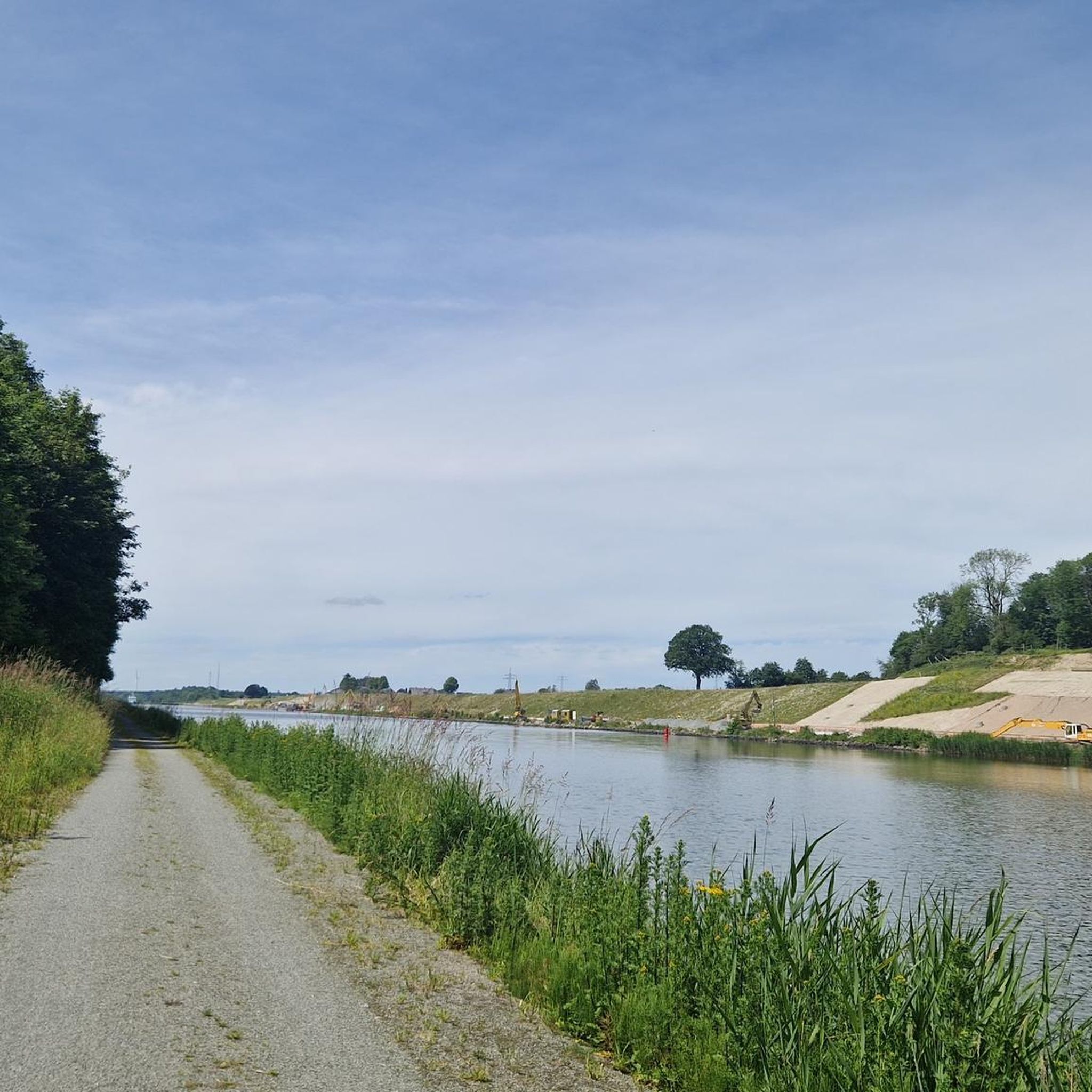
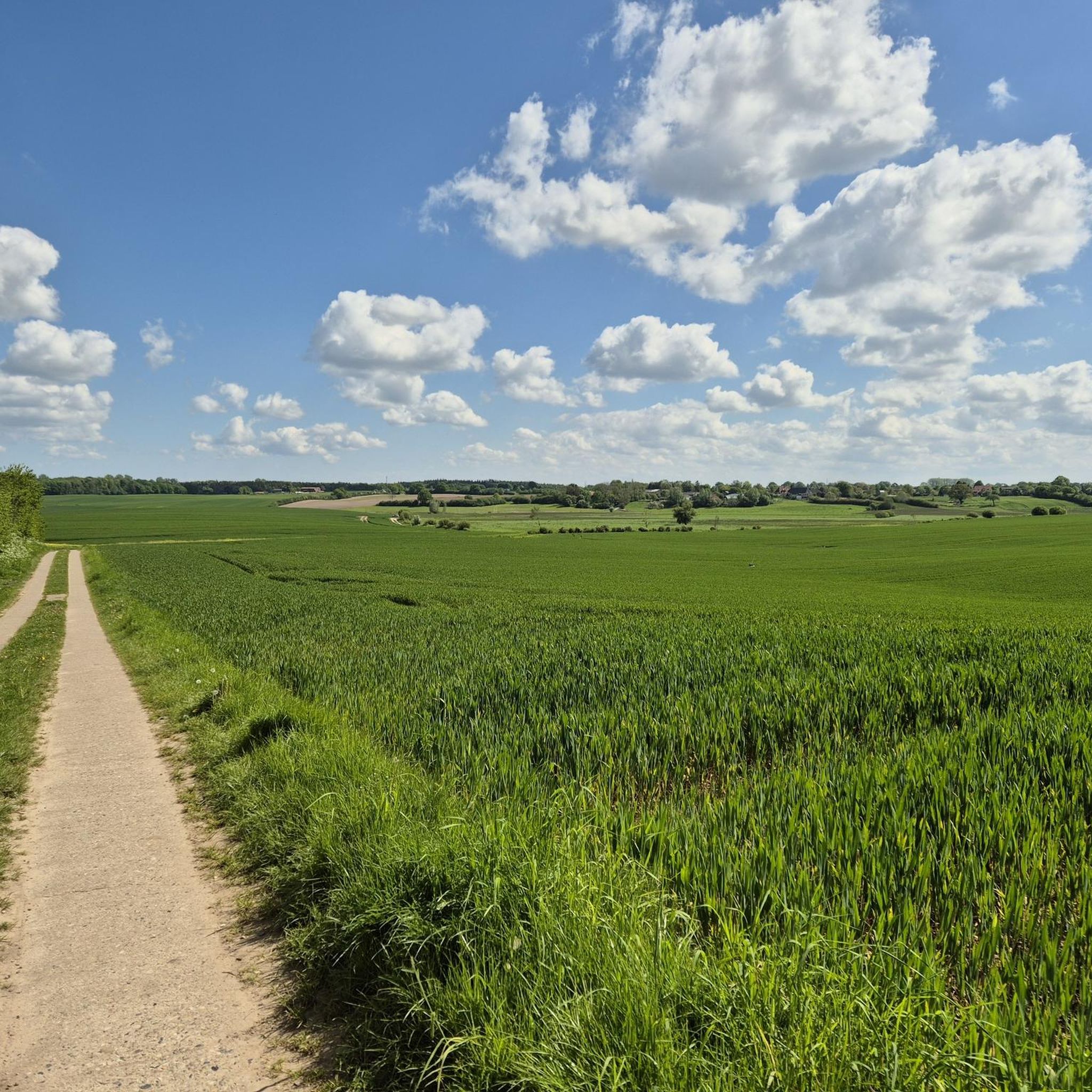
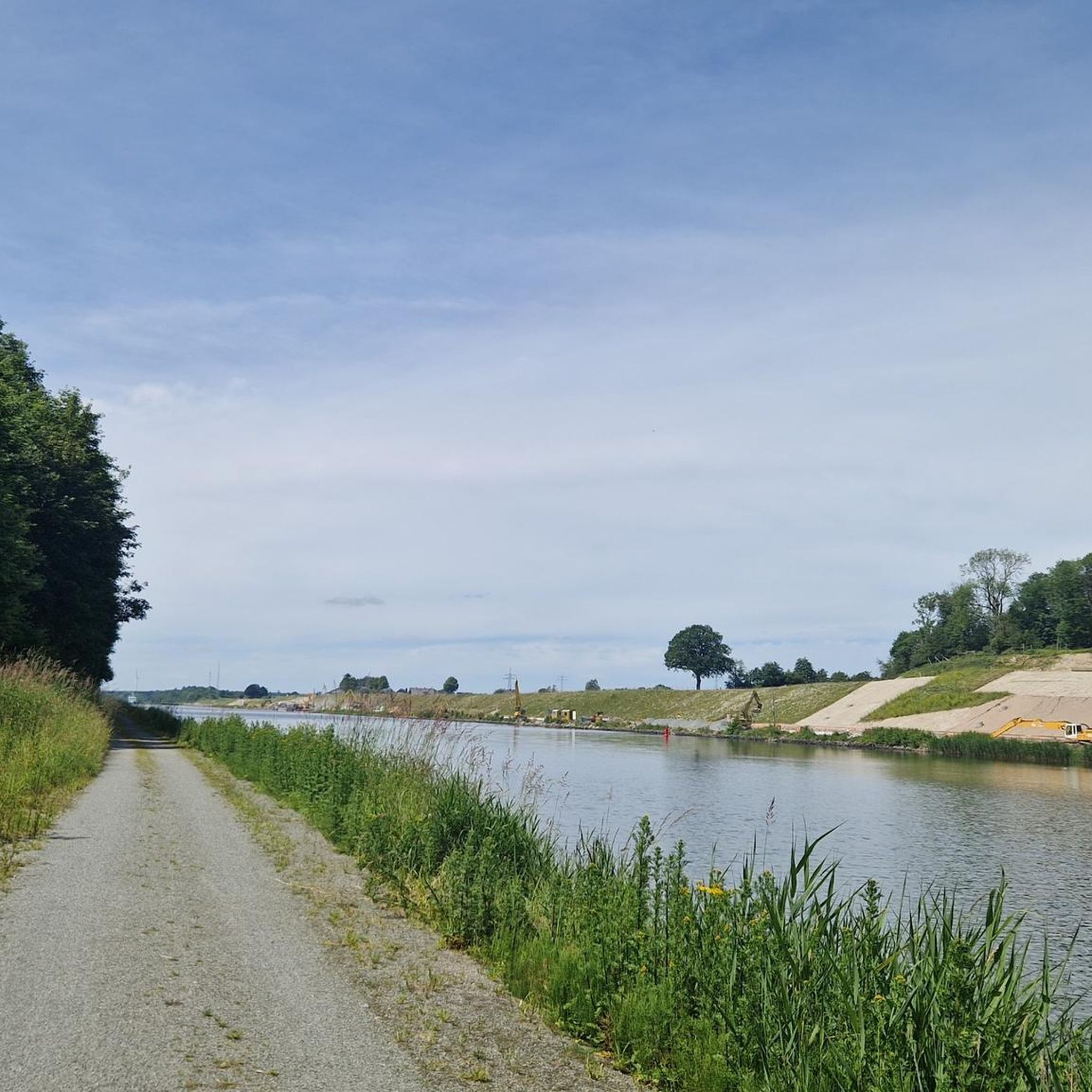
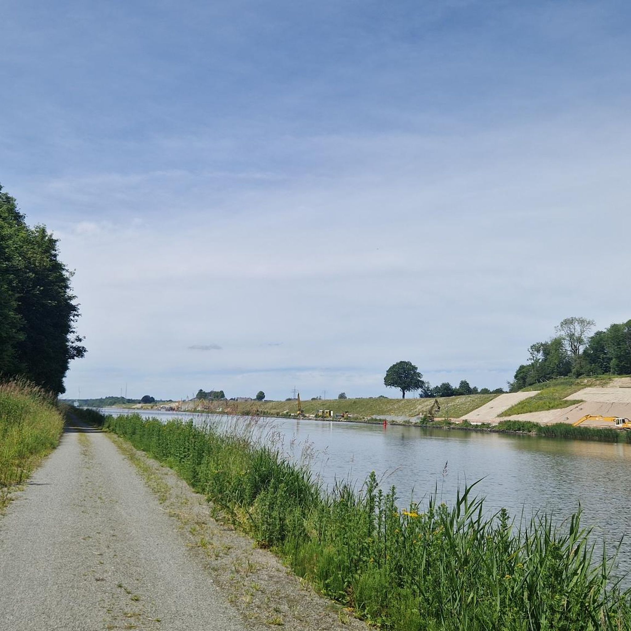
Tips from the Community

Neolithic large stone graves and Bronze Age burial mounds can be found on the Achtstückenberg on the Old Eider Canal. (Source: Wikipedia)
1
0

94m high elevation in the forest. No far-reaching view possible, as it is surrounded by trees. There is a small boundary stone on the "summit"
4
0

94m high, at the top a boundary stone marks the summit in the dense forest, so the distant view is blocked.
5
0
94m high, at the top there is a boundary stone in the dense forest.
2
0
There are Neolithic megalithic tombs and Bronze Age burial mounds on the Achtstückenberg, which indicate a human settlement around the years 4,300 to 550 BC. [B. Morio, History of Holtenau]
3
0

There is a bench here, which is a great place to rest and strengthen yourself
2
0

Please do not approach from the north via the trail! Currently a lot of deforestation above and catastrophic underground on the way to the "summit".
2
0

The refuge is no longer there, just a marker stone. Approaching from the north is my favorite, because it is not that steep, on the south side it is flowing down again.
2
0
Frequently Asked Questions
What kind of "mountain peaks" can I expect to find around Krummwisch?
Krummwisch is characterized by a gently rolling landscape rather than prominent mountain peaks. The "peaks" in this region refer to scenic high points or viewpoints that offer elevated perspectives over the picturesque rural scenery, fields, and forests, rather than challenging mountain climbs.
Which are the most notable high points or viewpoints in the Krummwisch area?
The most notable high points include the Kieler Berg Summit, which is the highest at 94m, the View from Achtstückenberg, known for its historical significance and picturesque views, and the Krähenberg Summit, offering beautiful views in all directions.
Are there any viewpoints with panoramic vistas around Krummwisch?
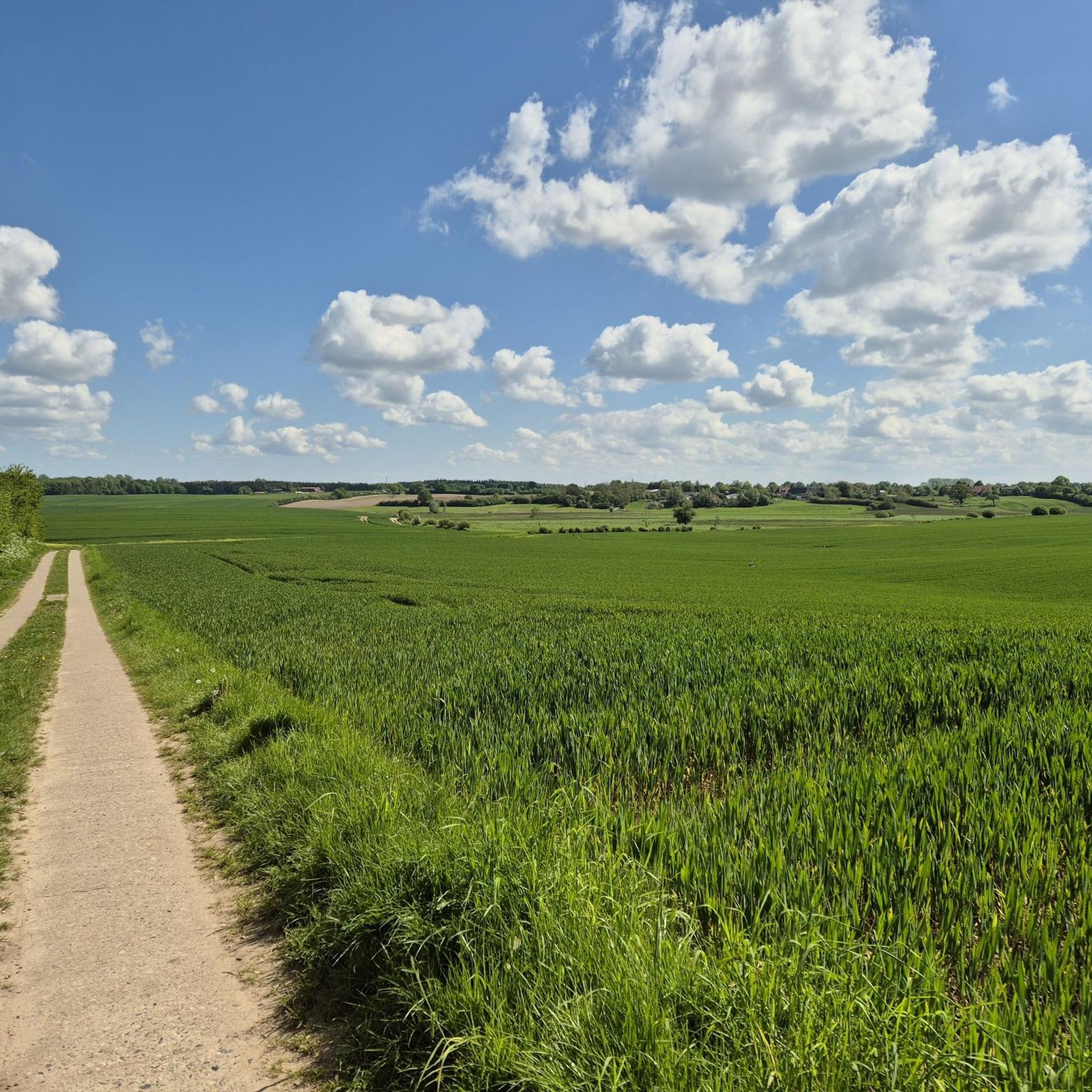
Yes, the Krähenberg Summit, at 82m, is freely accessible and not overgrown by trees, providing beautiful views in all directions. The View from Achtstückenberg also offers picturesque views over the fields.
Can I find family-friendly spots among the high points?
Yes, the View from Achtstückenberg is considered family-friendly. It features a bench for resting and is part of an area with historical significance that can be explored.
Are there historical sites associated with these high points?
The View from Achtstückenberg is particularly notable for its historical context. It features Neolithic megalithic tombs and Bronze Age burial mounds, indicating human settlement in the area dating back to 4,300 to 550 BC.
What outdoor activities can I do near these high points?
The region around Krummwisch is excellent for various outdoor activities. You can find numerous routes for cycling, including traffic-free bike rides and road cycling routes. There are also many running trails that offer opportunities for hiking and exploring the diverse landscapes.
Are there cafes or places to rest near these viewpoints?
Near the View from Achtstückenberg, there is a bench perfect for resting. Additionally, the nearby Café and Restaurant "Schleusen-Garten" offers a place to stop and refresh yourself.
What is the best time to visit the high points around Krummwisch?
The region is beautiful year-round, but spring and autumn offer particularly pleasant temperatures for outdoor activities, with vibrant foliage in autumn. Summer is also popular for cycling and walking, while winter can provide a serene, frosty landscape, though some paths might be less accessible.
Are there specific trails for easy walks or circular routes?
Yes, the area offers a variety of trails suitable for easy walks. Many of the cycling and running routes listed, such as the "Sehestedt Canal Ferry – Path Along the Kiel Canal loop from Krummwisch" or the "Flemhuder Lake – Flemhuder Lake loop from Quarnbek" (both easy difficulty), can also be enjoyed as circular walks, allowing you to explore the gentle hills and natural beauty.
What should I pack for a visit to these high points?
Given the gently rolling terrain, comfortable walking shoes are essential. Depending on the weather, layers of clothing are advisable. Don't forget water, snacks, and a camera to capture the scenic views. If you plan to cycle, ensure your bike is in good condition and you have appropriate safety gear.
Is parking available for accessing these high points?
While specific parking areas aren't always highlighted for each individual point, the general area is well-suited for outdoor activities. For the Krähenberg Summit, you'll need to leave your bike on the path and walk the final stretch to the summit, implying nearby access for vehicles or bikes.
Most popular routes around Krummwisch
Most popular attractions around Krummwisch

Get inspired with the komoot mobile app


Explore more
See even more amazing summits around Krummwisch with these guides:
