The 7 Most Amazing Peaks around Birken-Honigsessen
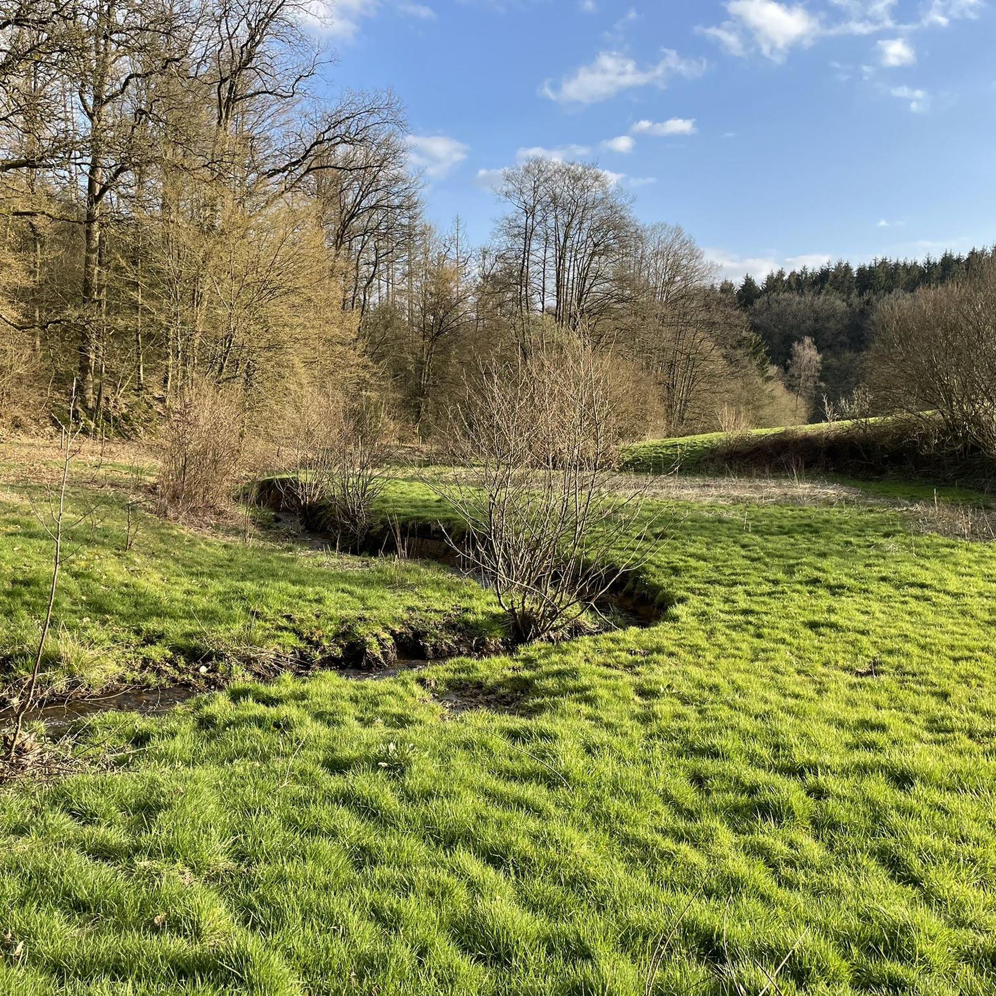
Best mountain peaks around Birken-Honigsessen are found within the Westerwald region, characterized by dense forests and rolling green hills. The municipality itself sits at an elevation of 253 meters above sea level. This hilly landscape offers numerous opportunities for outdoor activities and scenic views. The region is known for its natural beauty, with forests, clear streams, and idyllic villages providing a picturesque setting for exploration.
Best mountain peaks around Birken-Honigsessen
- The most popular mountain peaks is Giebelberg Summit (528 m)…
Last updated: July 10, 2026
Giebelberg Summit (528 m)
Highlight • Summit
Translated by Google •
Tip by

Wayside Cross Save Your Soul
Highlight • Monument
Translated by Google •
Tip by

Sign up now to discover places like this
Get recommendations on the best single tracks, peaks, & plenty of other exciting outdoor places.
Sign up for free
Finsterberg Summit
Highlight • Summit
Translated by Google •
Tip by

View from the Steinerother Kopf
Highlight • Viewpoint
Around one kilometer south of Steineroth, the Steinerother Kopf (478m) rises, a basalt dome on which basalt was mined by almost a hundred workers as early as 1880. …
Translated by Google •
Tip by

Bench with guestbook at Tree 365 NN
Highlight • Viewpoint
Translated by Google •
Tip by

Sign up for free to discover even more peaks around Birken-Honigsessen.
Sign up for free
Already have an account?
Start today with a free account
Your next adventure awaits.
Login or Signup
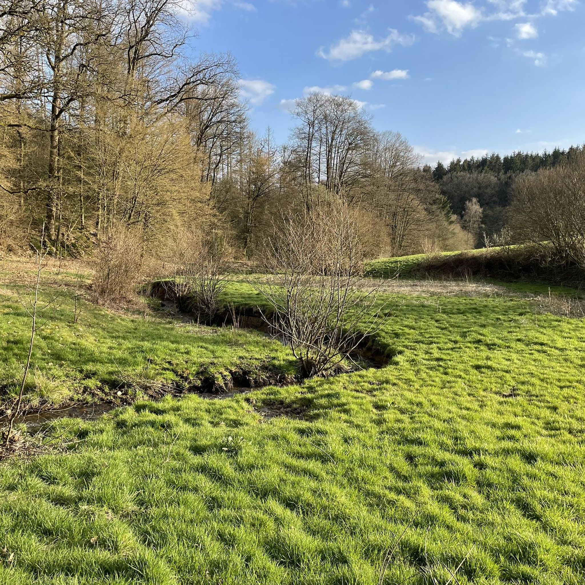
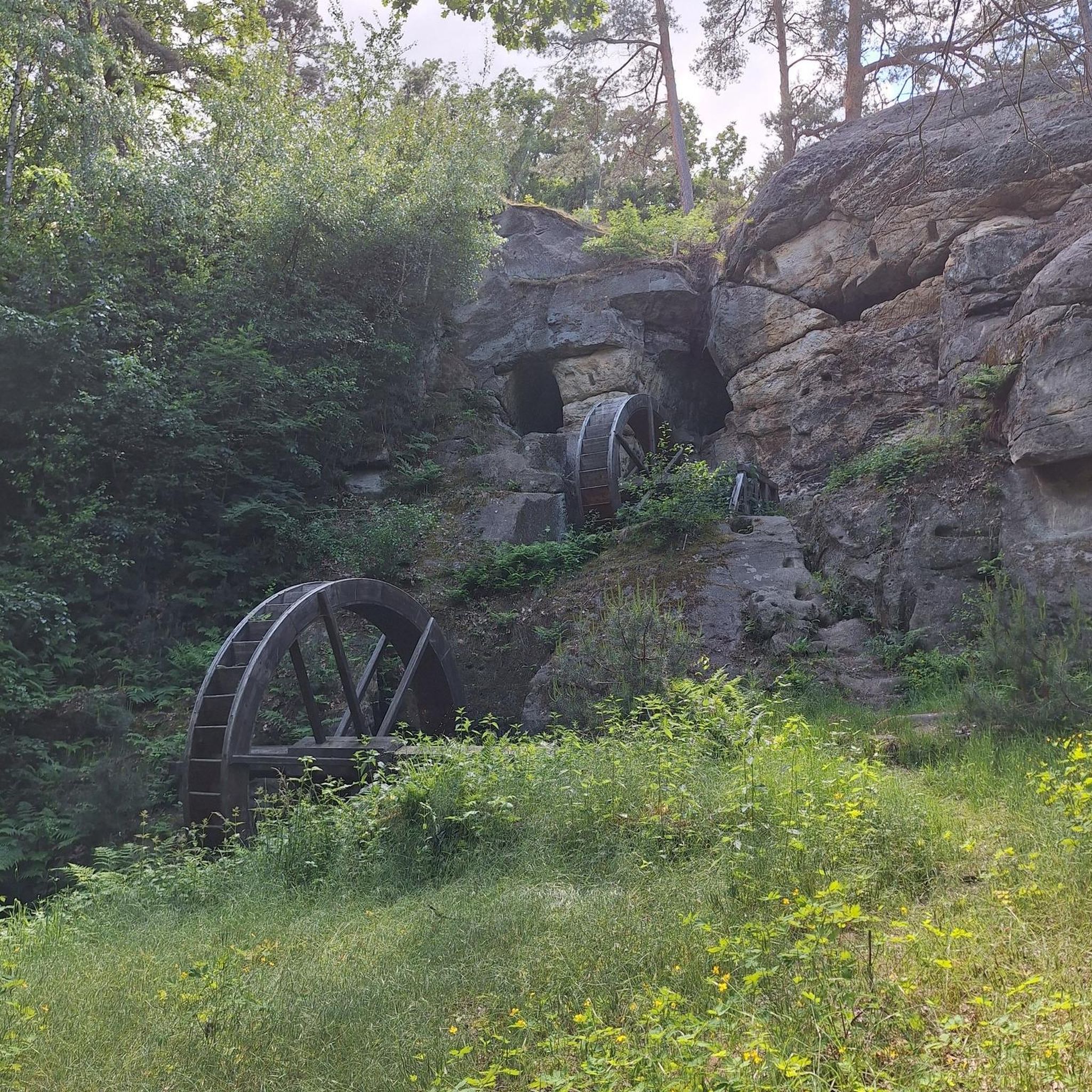
Tips from the Community

Between two paths, there's not only a bench for a breather, but also, right next to it, a wayside cross, inviting you to take a short spiritual rest. The small sacred monument standing here is made of wood and topped with a gabled roof. It doesn't bear the body of the crucified Christ, but it does bear two inscriptions: In the upper section of the longitudinal beam, the capital letters "INRI," often found on crosses, are an abbreviation (in Latin) for "Jesus Christ, King of the Jews." Much rarer, however, is the inscription—here on the crossbeam—with the words "Save your soul," whose white lettering stands out clearly against the dark wood of the cross.
0
0

You have to look carefully, somewhat "unobtrusively," to see "where" the sign hangs on the tree. It's best to start looking at approximately the highest points.
0
0

Very strenuous mountain coming from Friesenhagen
0
0
Phew, coming up here from Friesenhagen, it was very exhausting.
0
0

The hiking trail is worth it. Pretty environment
0
0

The stamp for the 12th stage of the Natursteig Sieg is on the backrest of the lounger. This vantage point is 100 meters from the Natursteig Sieg.
5
0

Nice rest area with a great view. In the blue box there is a summit book in which you can write your names
1
0

The Giebelbergkreuz is at this point, but it is not a lookout point, there is "only" forest. There is also no view from the Giebelberg itself.
6
0
Frequently Asked Questions
What are some notable viewpoints in the Birken-Honigsessen area?
The region offers several scenic viewpoints. A must-see is the View from the Steinerother Kopf, a natural monument and basalt dome offering expansive views towards the Westerwald and beyond. Another pleasant spot is the Bench with guestbook at Tree 365 NN, which provides a comfortable rest area with a view and a summit book for visitors.
Are there any challenging mountain peaks for experienced hikers near Birken-Honigsessen?
Yes, for those seeking a challenge, the Giebelberg Summit (528 m) is the highest mountain in the area. It features extreme gradients and varied path surfaces, making it an exhausting but rewarding tour for experienced hikers.
What kind of natural features can I expect to see while hiking around Birken-Honigsessen?
The Birken-Honigsessen area, nestled within the Westerwald region, is characterized by dense forests, rolling green hills, and clear streams. You'll encounter diverse landscapes, from tranquil forest paths to open viewpoints like the Steinerother Kopf, which is a basalt dome. The region's natural beauty is particularly vibrant during spring with blooming flowers and in autumn with colorful foliage.
Are there family-friendly hiking options around Birken-Honigsessen?
Yes, the region offers options suitable for families. The View from the Steinerother Kopf is considered family-friendly, as is the Bench with guestbook at Tree 365 NN, which provides a nice resting spot. Additionally, the Waldwichtelweg (Forest Gnome Trail) mentioned in regional research is specifically designed for families, offering playful activities and riddles for children.
What are some popular hiking trails near Birken-Honigsessen?
Beyond specific peaks, the area boasts several popular hiking trails. The extensive Siegtal Hiking Trail runs along the River Sieg, with sections accessible from Birken-Honigsessen. The Kyrill Trail offers a unique experience through areas of forest recovery, and local circular routes like the 'Eisbachtal circular route' provide varied terrain and viewpoints. For more detailed routes, you can explore the Hiking around Birken-Honigsessen guide.
What is the highest point in the immediate Birken-Honigsessen area?
The highest point in the immediate area is the Giebelberg Summit, reaching an elevation of 528 meters. It offers a challenging ascent but is considered the highest mountain in the region.
Can I find any historical or cultural landmarks on the trails?
Yes, you can encounter some cultural landmarks. For instance, the Wayside Cross Save Your Soul is a man-made monument and religious site that also serves as a viewpoint between Hammerhöhe and Friesenhagen.
What is the best time of year to visit Birken-Honigsessen for hiking?
The region's charm is particularly evident during spring when flowers bloom, and in autumn when the forests display vibrant colors. These seasons offer pleasant temperatures and beautiful scenery for hiking and exploring the rolling hills and dense forests.
Are there other summits to explore besides Giebelberg?
Yes, another notable summit is the Finsterberg Summit, which stands at 451 meters. While the view from the very top might be obscured by trees, the path leading to it is often described as enjoyable to traverse.
What other outdoor activities are available near Birken-Honigsessen?
Beyond hiking, the area offers opportunities for running and road cycling. You can find various routes, such as the 'Eisbachtal Trail Junction – Forest Path with Sunbeams' for hiking, or the 'Valley Near Wippermühle – Wippetal Valley' for running. For more options, explore the Hiking around Birken-Honigsessen, Running Trails around Birken-Honigsessen, and Road Cycling Routes around Birken-Honigsessen guides.
What do visitors particularly enjoy about the mountain peaks and viewpoints in this region?
Visitors frequently praise the expansive views, especially from spots like the Steinerother Kopf, where on clear days you can see all the way to the Siebengebirge. The tranquil forest environment, diverse landscapes, and the opportunity for peaceful retreats are also highly valued.
Most popular routes around Birken-Honigsessen
Most popular attractions around Birken-Honigsessen

Get inspired with the komoot mobile app


Explore more
See even more amazing summits around Birken-Honigsessen with these guides:
