The 4 Most Amazing Peaks around Breitscheidt
Best mountain peaks around Breitscheidt are found in Germany's Westerwald-Sieg region, characterized by rolling hills and dense forests. While not featuring towering mountains, the area offers numerous elevated points that provide notable views. These spots are popular destinations for hikers seeking panoramic vistas and recreational opportunities. The region's diverse hiking opportunities often lead to these elevated points, making it an ideal starting point for various tours.
Best mountain peaks around Breitscheidt
- The most popular mountain peaks is Raiffeisen Tower on…
Last updated: June 26, 2026
Raiffeisen Tower on Beulskopf
Highlight • Viewpoint
Translated by Google •
Tip by

Studchen Summit Viewpoint (311 m)
Highlight • Viewpoint
Translated by Google •
Tip by

Sign up now to discover places like this
Get recommendations on the best single tracks, peaks, & plenty of other exciting outdoor places.
Sign up for free
Panoramic View from Beulskopf
Highlight • Viewpoint
Translated by Google •
Tip by

View from Bickenberg
Highlight • Viewpoint
Translated by Google •
Tip by

Highest point of the Künstlerweg in Herchen
Highlight • Summit
the stamp can be traced here
Translated by Google •
Tip by

Sign up for free to discover even more peaks around Breitscheidt.
Sign up for free
Already have an account?
Start today with a free account
Your next adventure awaits.
Login or Signup
Tips from the Community

Stamp point for the 6th stage of the Natursteig Sieg and the Erlebnisweg Sieg „Wälderweg“. Why this was set up about 150 m away from the hiking trail is not entirely clear to me. Just because of the few meters of altitude on the Studchen?
1
0

Here you can sign the stamp for stage 6 of the Natursteig Sieg with a pencil and stamp booklet.
1
0

Anyone who has mastered the 177 steps up will be rewarded with a fantastic panoramic view.
5
0

A magnificent view is possible from here. East over Hamm to the Siegerland, west is the Oberbergische. Air traffic Cologne/Bonn can also be observed. Southwest the Siebengebirge. It can be enjoyed on a clear day.
0
0

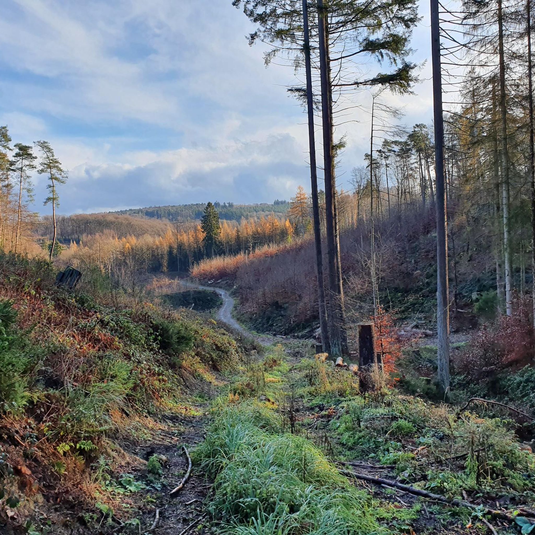
On the 311 meter high Studchen you have a gorgeous view of the surroundings. Several hiking trails lead past this beautiful spot and if it is important to you, you can also fill out your stamp pass.
2
0

Mountain festival for the Sieg adventure trail - forest trail
1
1

180 steps for a great all-round view. On the railing of the viewing platform, the sights and towns are marked with a marker – funny and definitely helpful.
3
0
The 180 steps are worth it: the view is great and the navigation aid on the railing is really funny but coherent.
5
0
Frequently Asked Questions
What are some of the most popular elevated points around Breitscheidt?
The region around Breitscheidt, part of Germany's Westerwald-Sieg, offers several popular elevated points known for their views. Among the most visited are the Raiffeisen Tower on Beulskopf, which provides expansive panoramic views, and the Studchen Summit Viewpoint (311 m), offering gorgeous views and serving as a hiking pass stamp point. Another favorite is the View from Bickenberg, where you can enjoy panoramic scenery from a comfortable bench.
What kind of views can I expect from the elevated points in Breitscheidt?
From the elevated points around Breitscheidt, you can expect expansive, all-around panoramic views of the surrounding Westerwald-Sieg region. This includes rolling hills, dense forests, and picturesque villages. For example, the Raiffeisen Tower on Beulskopf offers a wide vista, with markers on the viewing platform to help identify landmarks.
Are there family-friendly elevated points or trails in Breitscheidt?
Yes, several elevated points and trails in the Breitscheidt area are suitable for families. The Studchen Summit Viewpoint (311 m) and the View from Bickenberg are both categorized as family-friendly. Additionally, the Highest point of the Künstlerweg in Herchen is also noted as family-friendly, offering accessible paths for a pleasant outing.
Are there any observation towers in the Breitscheidt area?
Yes, the most prominent observation tower in the area is the Raiffeisen Tower on Beulskopf. Standing 35 meters high on the 388.2-meter Beulskopf, it offers a fantastic 360-degree panoramic view of the surrounding landscape. It's a key attraction for those seeking scenic overlooks.
What natural features characterize the landscape around Breitscheidt's elevated points?
The landscape around Breitscheidt is characterized by rolling hills, dense forests, and clear streams, typical of the Westerwald-Sieg region. While not featuring towering mountains, the elevated points provide excellent vantage points to appreciate this idyllic scenery. Many trails lead through these natural settings, offering diverse opportunities for outdoor enthusiasts.
Are there any unique features or activities at these elevated points, like stamp points?
Yes, the Studchen Summit Viewpoint (311 m) is a notable spot where hikers can get a stamp for their hiking pass. This adds a unique element for those collecting stamps as they explore the region's trails.
What outdoor activities can I do near the elevated points in Breitscheidt?
The region around Breitscheidt is excellent for various outdoor activities. You can find numerous hiking opportunities, including easy trails suitable for families. There are also dedicated routes for road cycling and mountain biking. For more details on specific routes, you can explore guides like Easy hikes around Breitscheidt, Road Cycling Routes around Breitscheidt, and MTB Trails around Breitscheidt.
Are there easy hiking trails near Breitscheidt's elevated points?
Yes, the area offers many easy hiking trails that often lead to or pass by the elevated points. For instance, routes like 'View of Breitscheidt – Naturcamp Alte Wiese loop' and 'Railway Crossing Westerwald – Meadow Trail Near Westerwald loop' are considered easy. You can find more options in the Easy hikes around Breitscheidt guide.
Can I go mountain biking near Breitscheidt's elevated points?
Absolutely. The Breitscheidt area provides several mountain biking trails. Routes such as 'View of the Holperbach Valley – Sieg River at Au Bridge loop' and 'Basalt columns at Basaltkrater, Naturpark Bergisches Land – Raiffeisen Tower on Beulskopf loop' offer diverse experiences. Check out the MTB Trails around Breitscheidt guide for more options.
What is the best time of year to visit the elevated points in Breitscheidt?
The region's elevated points are enjoyable throughout much of the year. Spring and autumn offer pleasant temperatures and vibrant natural colors, ideal for hiking. Summer provides longer daylight hours for exploration, while winter can offer a unique, serene experience, especially if trails are clear. The panoramic views are a constant draw, regardless of the season.
What do visitors enjoy most about the elevated points in Breitscheidt?
Visitors consistently praise the breathtaking panoramic views from these elevated points. The Raiffeisen Tower on Beulskopf is particularly popular for its expansive vistas, often described as 'gigantic' and ideal for photographers. The peaceful atmosphere and the opportunity to connect with nature on well-maintained trails are also frequently highlighted by the komoot community.
Are there circular walks around the elevated points in Breitscheidt?
Yes, many hiking routes in the Breitscheidt area are designed as circular walks, allowing you to start and end at the same point while exploring the elevated areas. These routes often incorporate the scenic viewpoints and natural beauty of the region. You can find various circular options within the hiking guides for Breitscheidt.
What is the difficulty level of hiking trails around Breitscheidt's elevated points?
The hiking trails around Breitscheidt's elevated points vary in difficulty, catering to different preferences. You can find easy paths suitable for families and leisurely strolls, as well as more challenging routes for experienced hikers. Many trails leading to viewpoints like Raiffeisen Tower on Beulskopf and View from Bickenberg are generally considered intermediate, offering a good balance of challenge and reward.
Most popular routes around Breitscheidt
Most popular attractions around Breitscheidt

Get inspired with the komoot mobile app


Explore more
See even more amazing summits around Breitscheidt with these guides:
