The 9 Most Amazing Peaks around Reinsberg
Mountain peaks around Reinsberg, located in Saxony, Germany, offer a diverse landscape for outdoor activities. This region features elevations that provide panoramic views and historical significance, rather than towering alpine summits. The area is characterized by its rolling hills, forested areas, and a network of trails suitable for hiking. Many peaks are notable for their historical triangulation stations, which played a role in 19th-century land surveying.
Best mountain peaks around Reinsberg
- The most popular mountain peaks is Historic Baeyerhöhe Triangulation…
Last updated: October 13, 2026
Historic Baeyerhöhe Triangulation Pillar
Highlight • Monument
Translated by Google •
Tip by

Wetterhöhe Summit Cross and Triangulation Station
Highlight • Summit
Translated by Google •
Tip by
Sign up now to discover places like this
Get recommendations on the best single tracks, peaks, & plenty of other exciting outdoor places.
Tannhübel (426 m)
Highlight • Viewpoint
Translated by Google •
Tip by

Tännicht Summit (461 m)
Highlight • Summit
Translated by Google •
Tip by
Kroatenstein Summit
Highlight • Summit
Translated by Google •
Tip by

Sign up for free to discover even more peaks around Reinsberg.
Already have an account?
Start today with a free account
Your next adventure awaits.
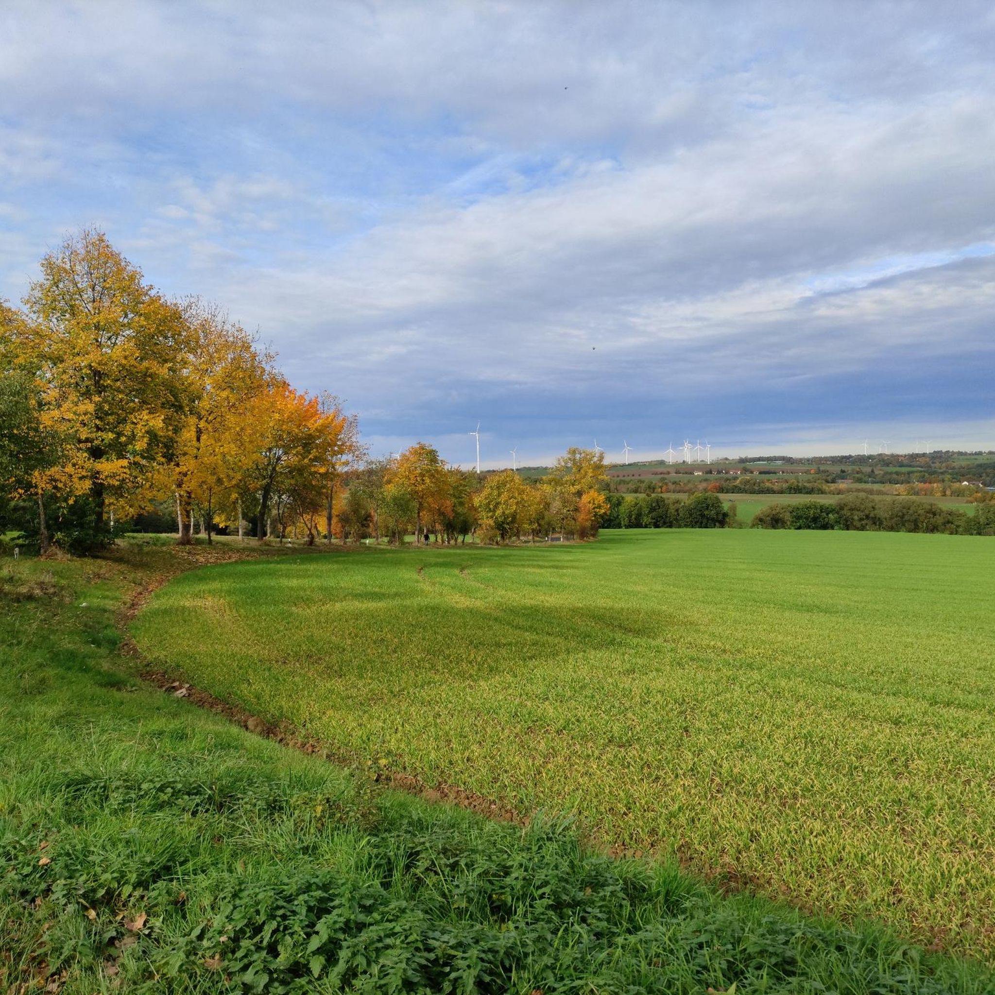
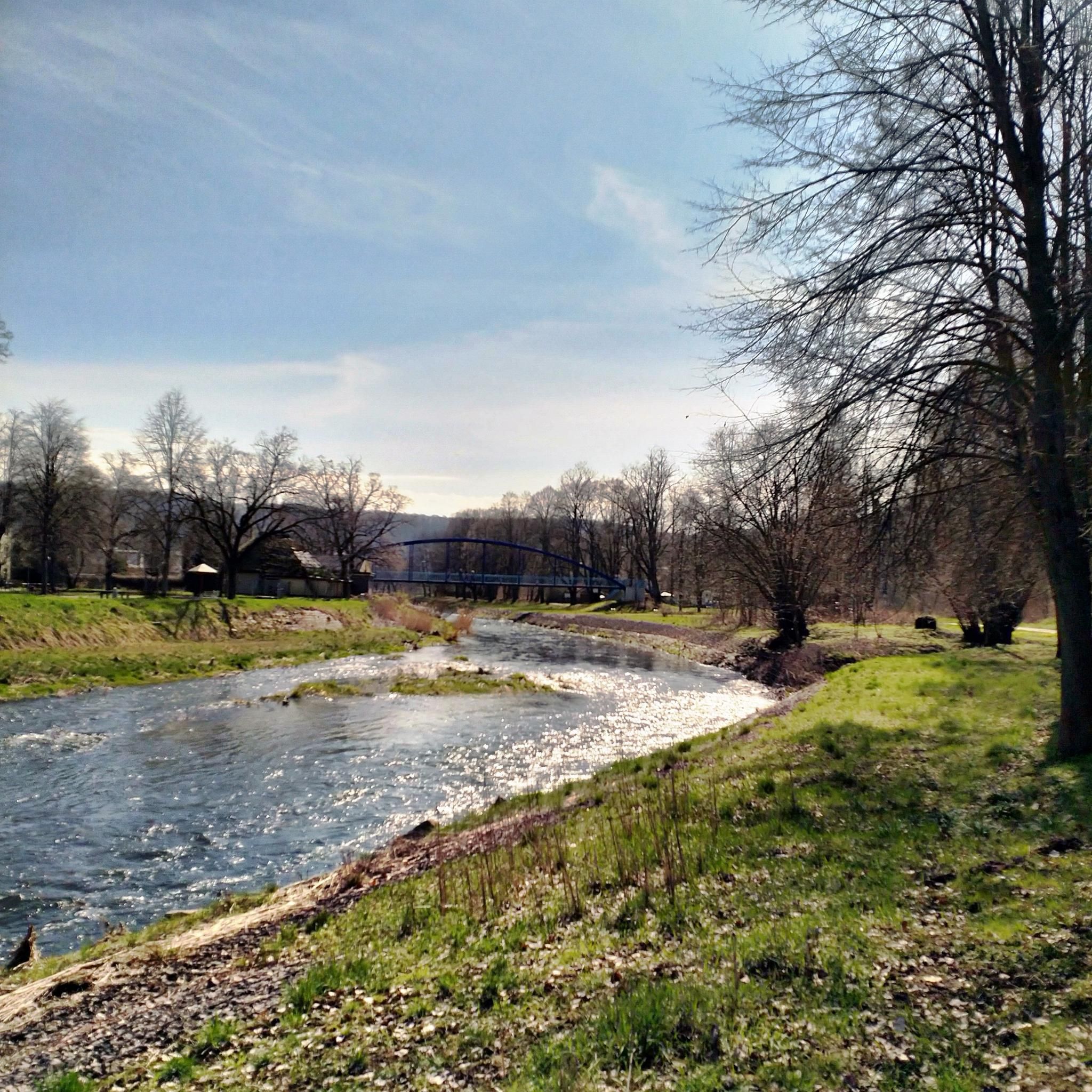
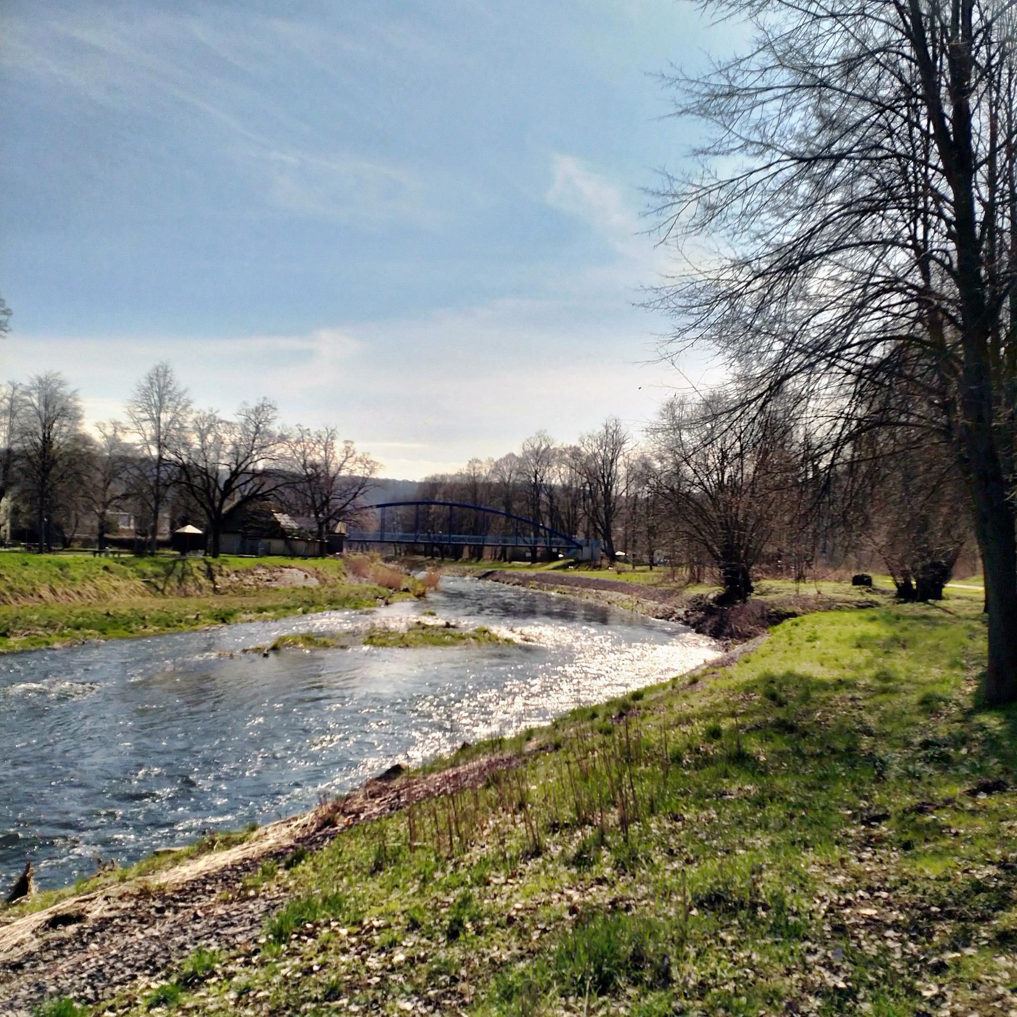
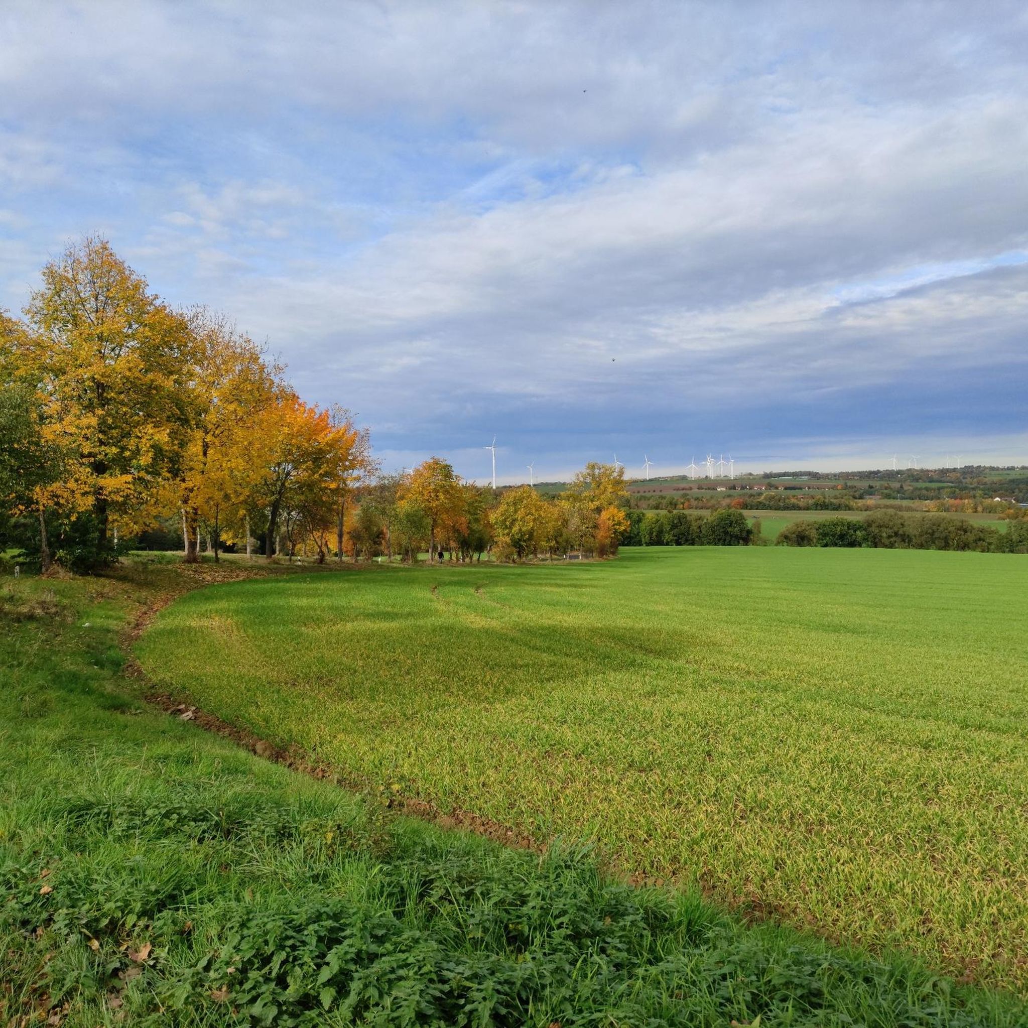
Tips from the Community

Very nicely done, well worth a visit.
0
0

Not a particularly spectacular summit, but pure nature. The trails suggested by Komoot aren't easy to find, though.
2
0

The best panoramic view of the region. There's a covered bench here, and a bit of culture too. ✌🏻
0
0

Beautiful view towards Freiberg
0
1

Bench with a great view over Hilbersdorf, Muldenhütten and Freiberg from Tannhübel at 426 m above sea level
1
0

Beautiful view, especially when the rapeseed is in bloom, highly recommended.
2
0

The Bayerhöhe is located on the Baltic Sea - Saale Dam long-distance hiking trail.
1
0

Beautiful rest area with a great view towards Hilbersdorf, Muldenhütten and Freiberg.
3
1
Frequently Asked Questions
What are the most notable mountain peaks around Reinsberg, Saxony?
The region around Reinsberg in Saxony features several significant peaks, primarily known for their historical triangulation stations and panoramic views. Key highlights include the Historic Baeyerhöhe Triangulation Pillar, which is the highest elevation in the district of Meissen, and the Wetterhöhe Summit Cross and Triangulation Station, offering great views of the Saxon countryside. Another popular spot is Tannhübel (426 m), which provides a clear all-round view towards Hilbersdorf, Muldenhütten, and Freiberg.
What kind of views can I expect from the peaks in the Reinsberg area?
From peaks like the Historic Baeyerhöhe Triangulation Pillar and Wetterhöhe Summit Cross and Triangulation Station, you can expect extensive and magnificent panoramic views of the Meißner Land and the wider Saxon countryside. Tannhübel (426 m) also offers a good all-round perspective towards Hilbersdorf, Muldenhütten, and Freiberg.
Are there family-friendly hiking options among the mountain peaks near Reinsberg?
Yes, several peaks and viewpoints in the Reinsberg area are considered family-friendly. The Historic Baeyerhöhe Triangulation Pillar, Wetterhöhe Summit Cross and Triangulation Station, and Tannhübel (426 m) are all categorized as suitable for families, offering accessible routes and rewarding views.
What historical significance do the mountain peaks around Reinsberg hold?
The peaks around Reinsberg are historically significant due to their role in the Royal Saxon Triangulation of the 19th century. Many, like the Historic Baeyerhöhe Triangulation Pillar and Wetterhöhe Summit Cross and Triangulation Station, feature well-preserved technical monuments that were crucial for land surveying. These sites offer insights into a technical masterpiece of degree measurement, considered the most precise land survey in Europe at its time.
What natural features characterize the mountain peaks in this region?
The mountain peaks around Reinsberg are characterized by rolling hills, extensive forested areas, and natural viewpoints. While not alpine, they offer diverse landscapes for outdoor activities. For example, the Tännicht Summit (461 m) is known for its quiet, forested surroundings within the Tharandt forest, and Kroatenstein Summit offers a pure nature experience.
What outdoor activities can I do near the mountain peaks around Reinsberg?
The Reinsberg area offers a variety of outdoor activities. You can explore numerous running trails, such as the 'Grabentour Section – Trench Tour loop from Reinsberg', or enjoy cycling routes like the 'Freiberger Mulde near Altzella – View of Nossen Castle loop from Reinsberg'. For mountain biking enthusiasts, there are trails like the 'Tausendtalersprung Viewpoint – Grabentour Section loop from Reinsberg'. You can find more details on these activities in the dedicated guides for Running Trails around Reinsberg, Cycling around Reinsberg, and MTB Trails around Reinsberg.
What is the highest point in the district of Meissen near Reinsberg?
The highest elevation in the district of Meissen is the Historic Baeyerhöhe Triangulation Pillar, standing at 320.5 meters (HN). It offers expansive views and was a crucial 1st order station in the Royal Saxon Triangulation network.
What do visitors particularly enjoy about the mountain peaks in Reinsberg?
Visitors frequently praise the magnificent panoramic views offered by the peaks, especially from sites like the Historic Baeyerhöhe Triangulation Pillar and Wetterhöhe Summit Cross and Triangulation Station. The historical significance of the triangulation stations is also a major draw, providing a unique blend of nature and history. Many appreciate the quiet, natural settings, such as those found at Tännicht Summit (461 m).
Are there any specific rest areas or viewpoints with amenities on these peaks?
Yes, for instance, the Wetterhöhe Summit Cross and Triangulation Station features a stone rest area right next to the pillar, inviting visitors to linger and enjoy the view. Tannhübel (426 m) also offers a beautiful rest area with a great view.
What is the Tännicht Summit known for?
The Tännicht Summit (461 m) is the highest elevation of the Tharandt forest. While it may not offer dramatic vistas, it is appreciated for its quiet, natural environment and the opportunity to experience the dense Tharandt forest. It's a place for peaceful contemplation rather than expansive views.
What is the difficulty level of hiking to these peaks?
Many of the highlighted peaks, such as the Wetterhöhe Summit Cross and Triangulation Station, Tannhübel (426 m), and Tännicht Summit (461 m), are generally categorized as intermediate difficulty. This suggests that while they are accessible, they may involve some moderate ascents or longer distances, suitable for hikers with a reasonable level of fitness.
Most popular routes around Reinsberg
Most popular attractions around Reinsberg

Get inspired with the komoot mobile app


Explore more
See even more amazing summits around Reinsberg with these guides:
