The 6 Most Amazing Peaks around Flammersfeld
Mountain peaks around Flammersfeld are characterized by scenic valleys, rolling hills, and elevated viewpoints rather than towering summits. The region, part of the Westerwald, offers a network of hiking trails that provide diverse perspectives of the landscape. Its geography includes notable natural features and charming routes that appeal to hikers and cyclists seeking panoramic views.
Best mountain peaks around Flammersfeld
- The most popular mountain peaks is View from Bertenauer Kopf Shelter, a viewpoint that offers distant views. A refuge…
Last updated: June 26, 2026
Hohenschauberg (389 m)
Highlight • Summit
Translated by Google •
Tip by

View from Bertenauer Kopf Shelter
Highlight • Viewpoint
Translated by Google •
Tip by

Sign up now to discover places like this
Get recommendations on the best single tracks, peaks, & plenty of other exciting outdoor places.
Sign up for free
Hoher Schaden
Highlight • Summit
Translated by Google •
Tip by

Highest Point of Hennef
Highlight • Summit
Translated by Google •
Tip by

View of the Siebengebirge from Keuenhofer Wiesen
Highlight • Viewpoint
Translated by Google •
Tip by

Sign up for free to discover even more peaks around Flammersfeld.
Sign up for free
Already have an account?
Start today with a free account
Your next adventure awaits.
Login or Signup
Popular around Flammersfeld
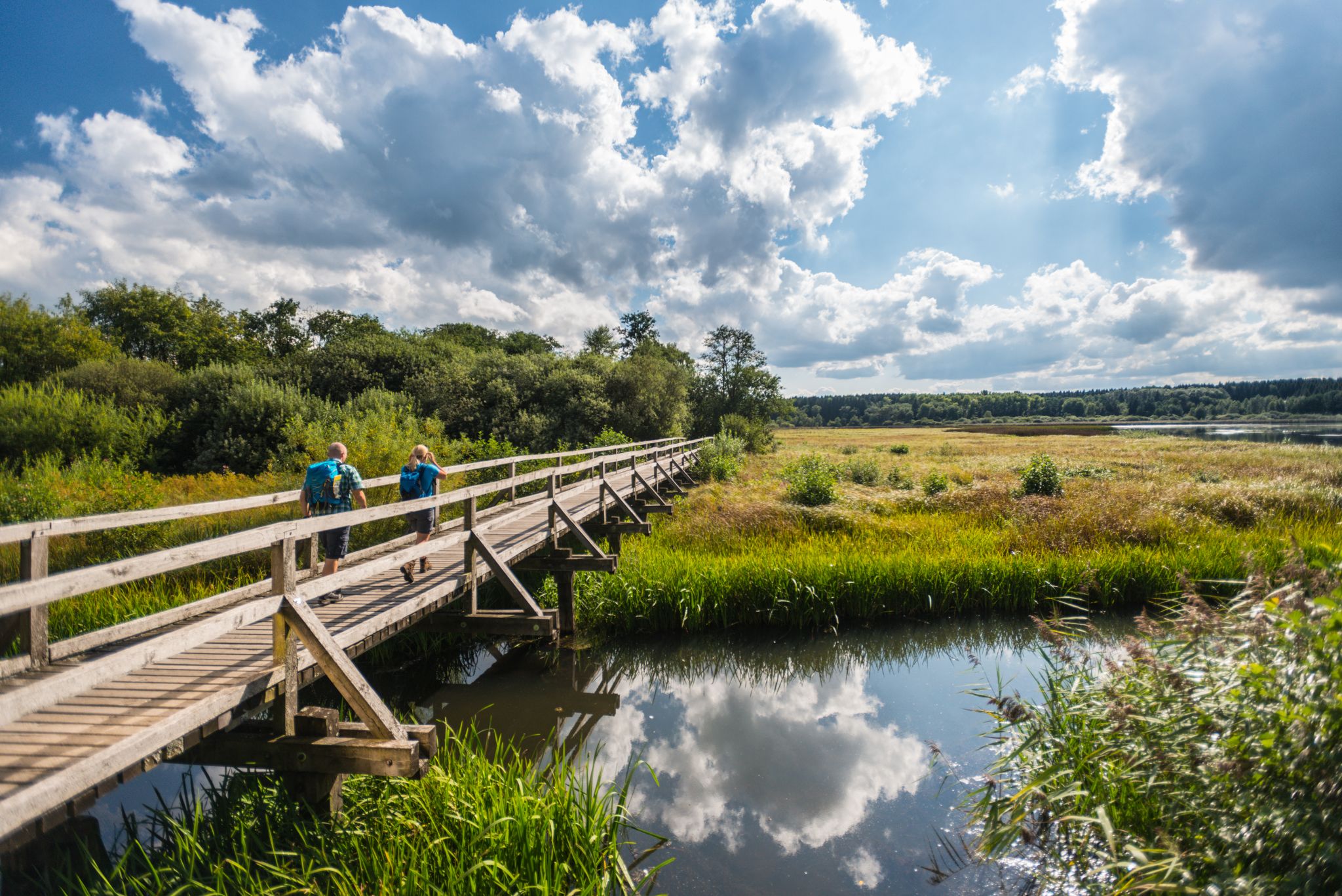
More than just forests – 16 stages on the WesterwaldSteig
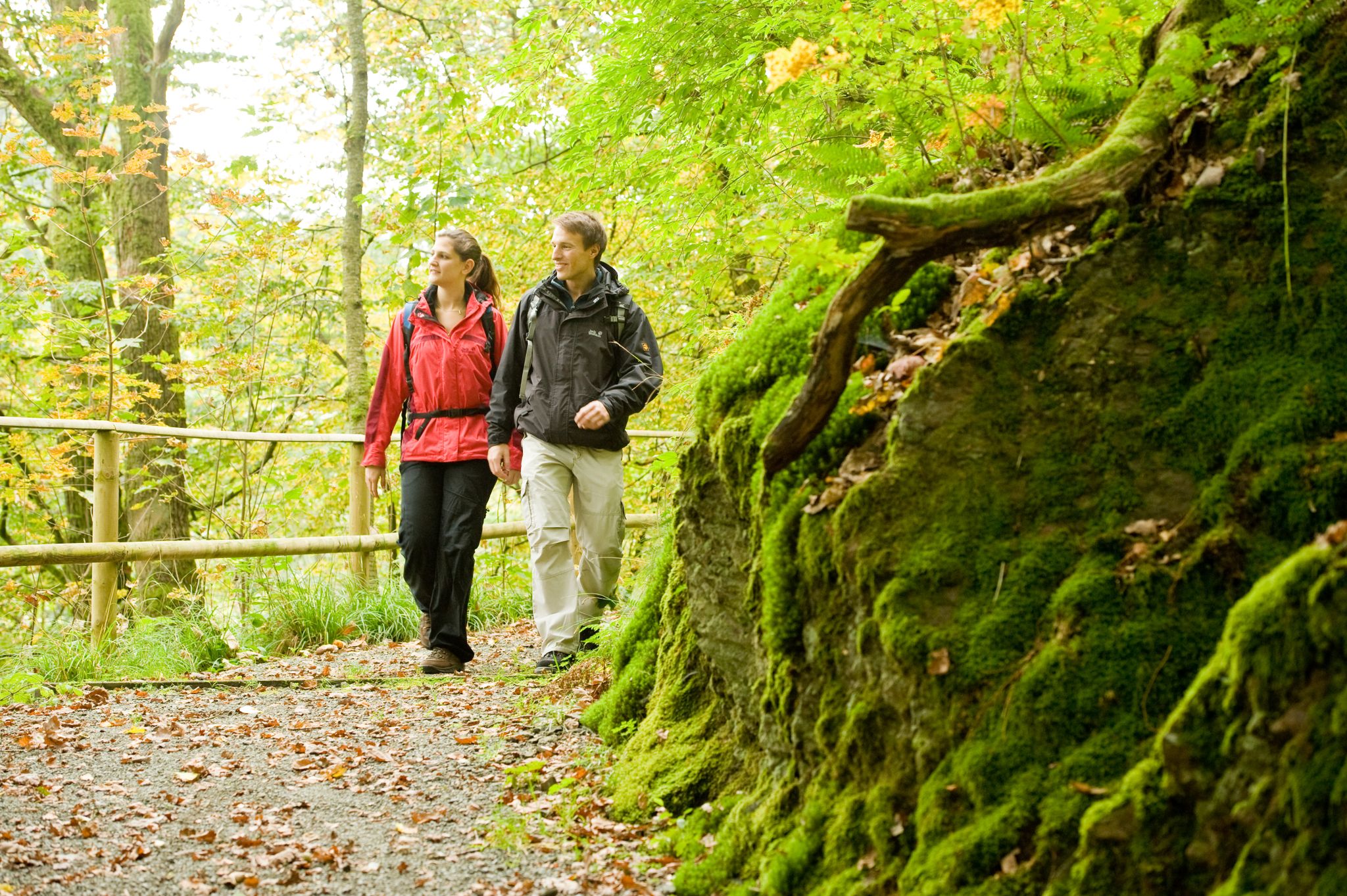
Hike the WesterwaldSteig in Germany’s Westerwald-Sieg Region
More than just forests – 16 stages on the WesterwaldSteig
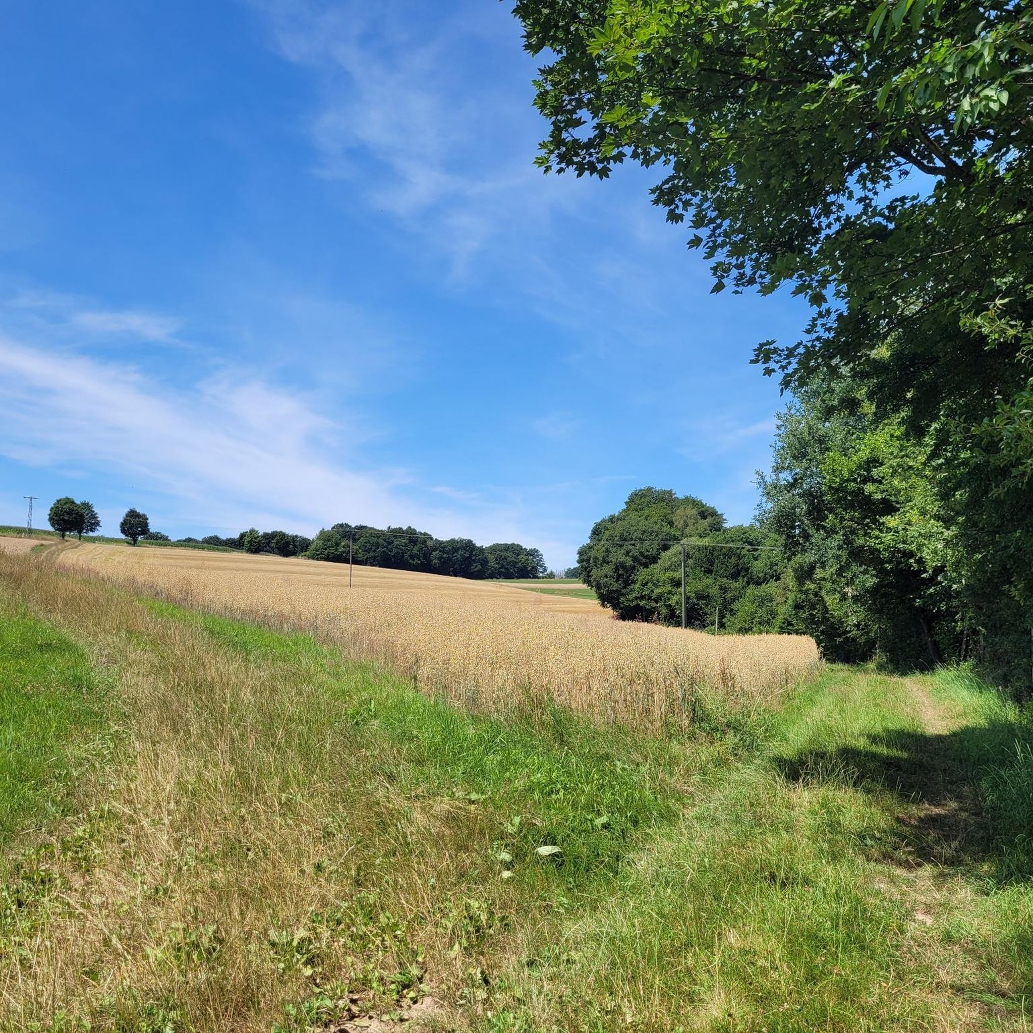
Hiking around Flammersfeld
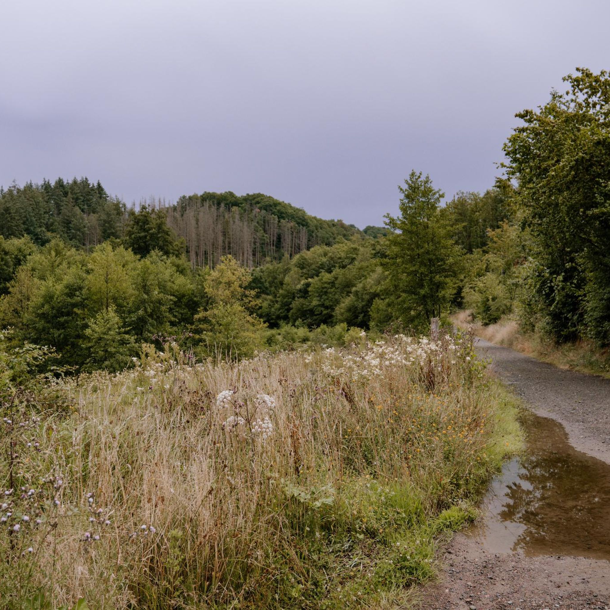
Cycling around Flammersfeld
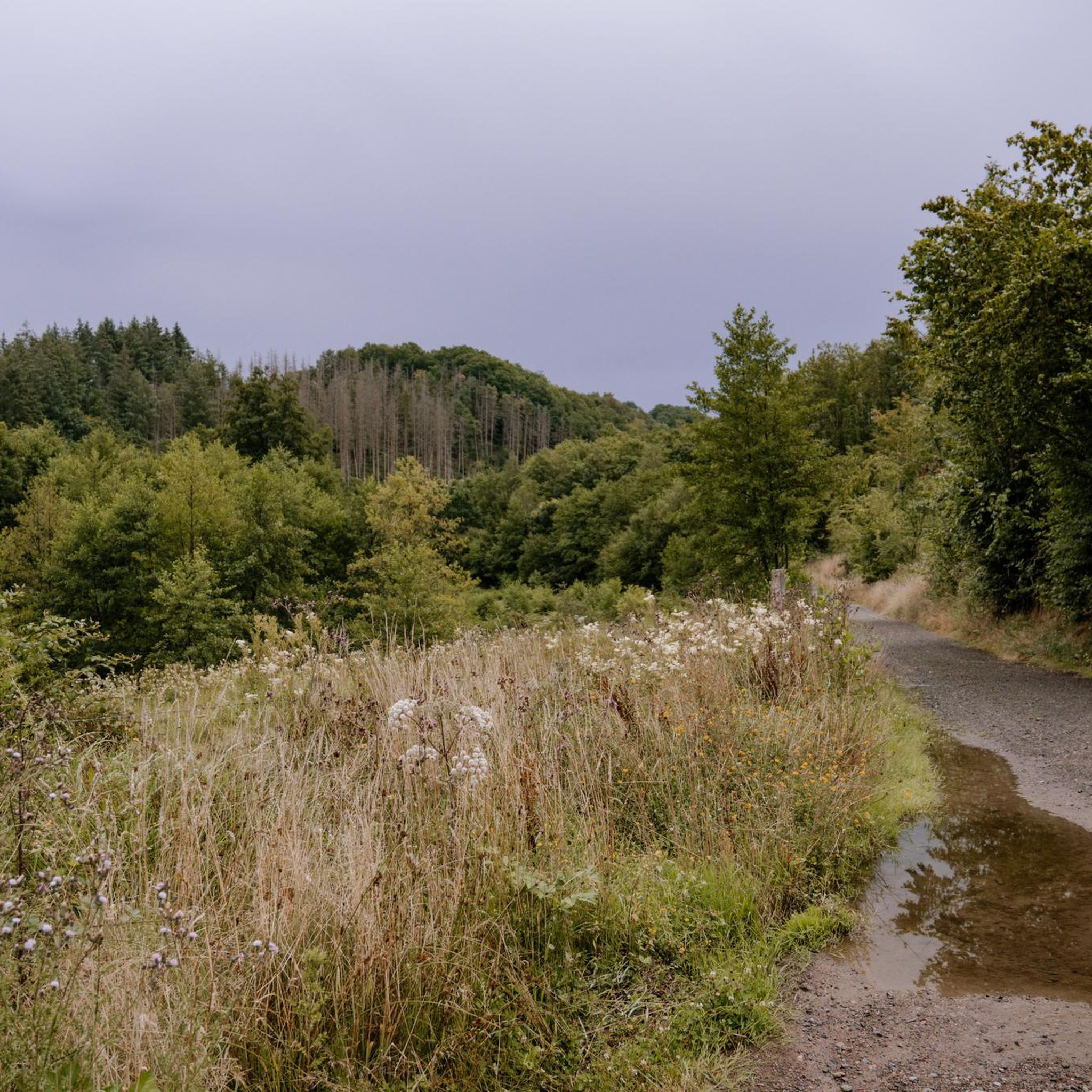
MTB Trails around Flammersfeld
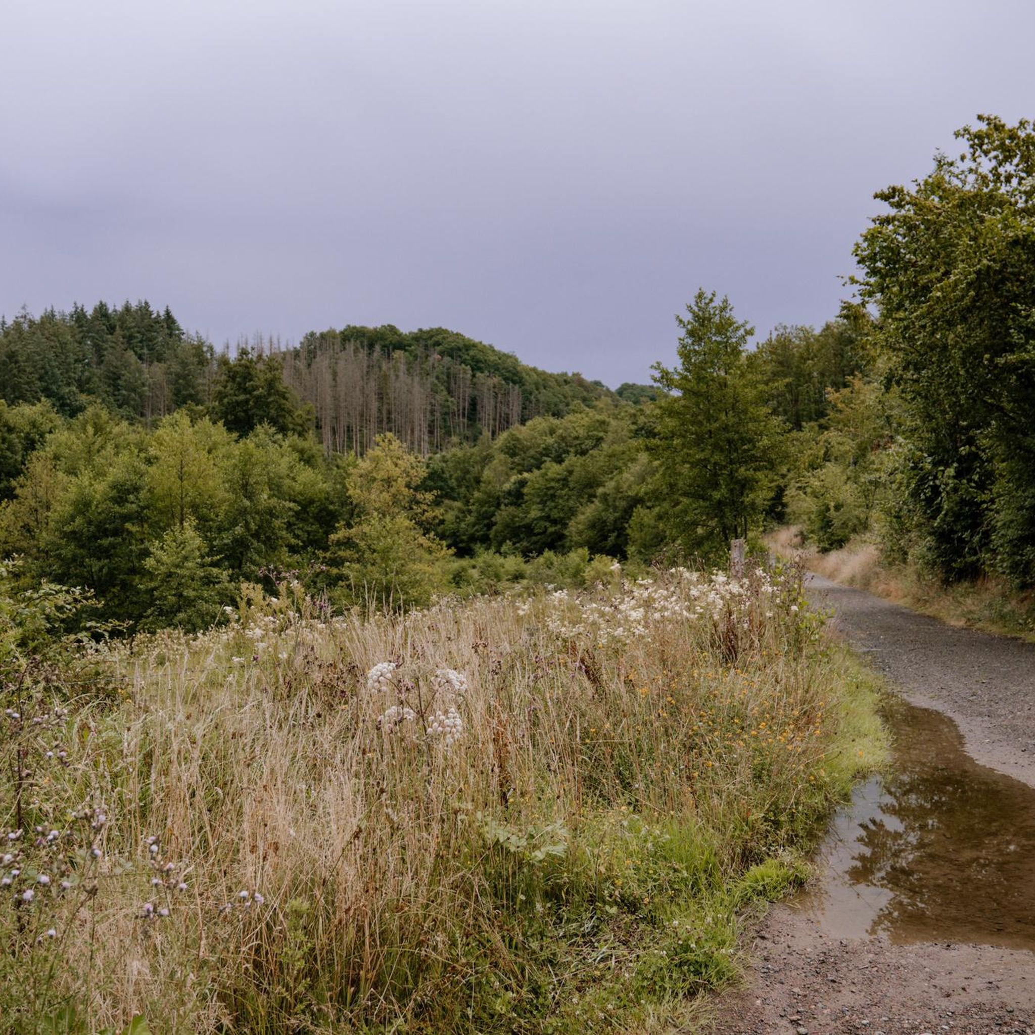
Road Cycling Routes around Flammersfeld
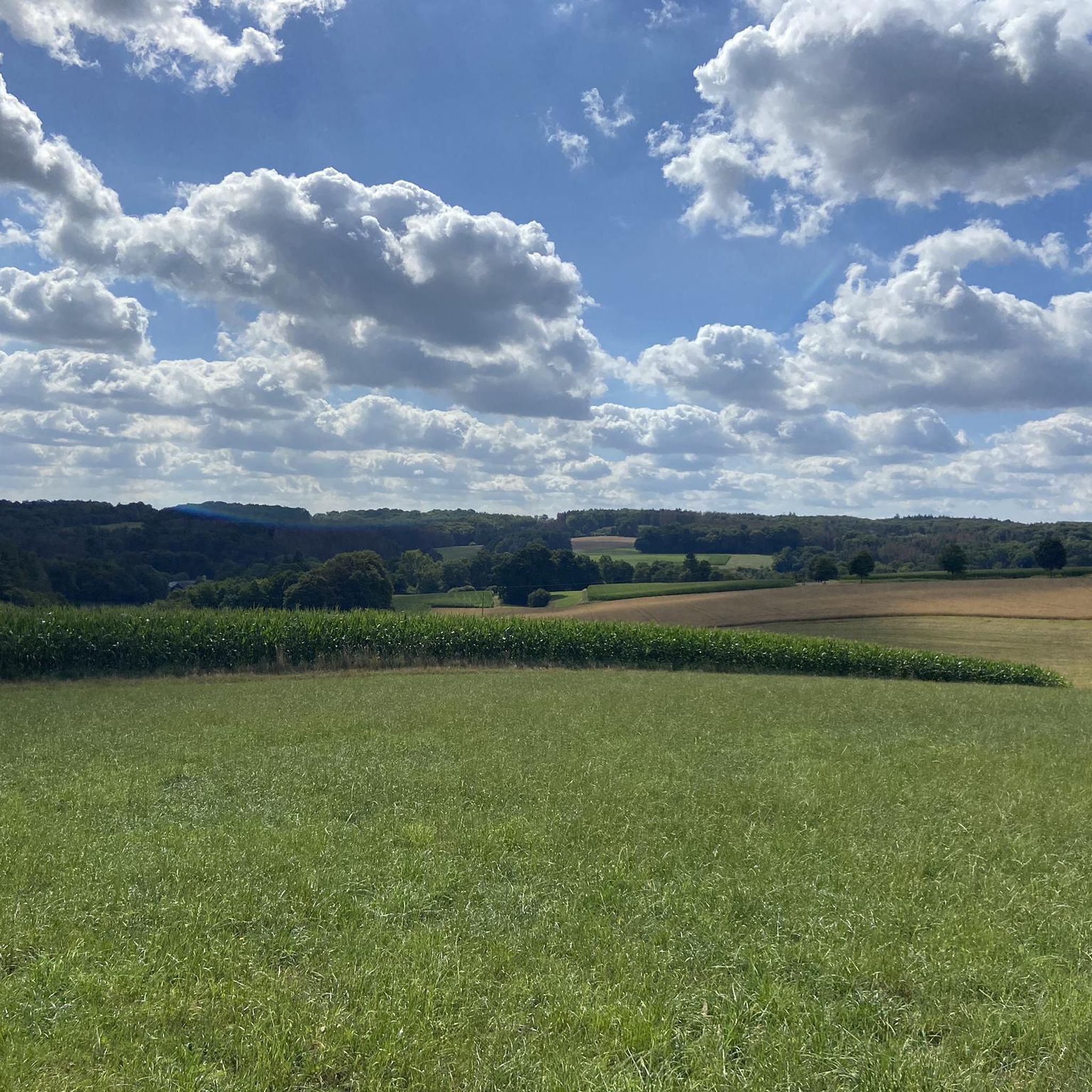
Running Trails around Flammersfeld
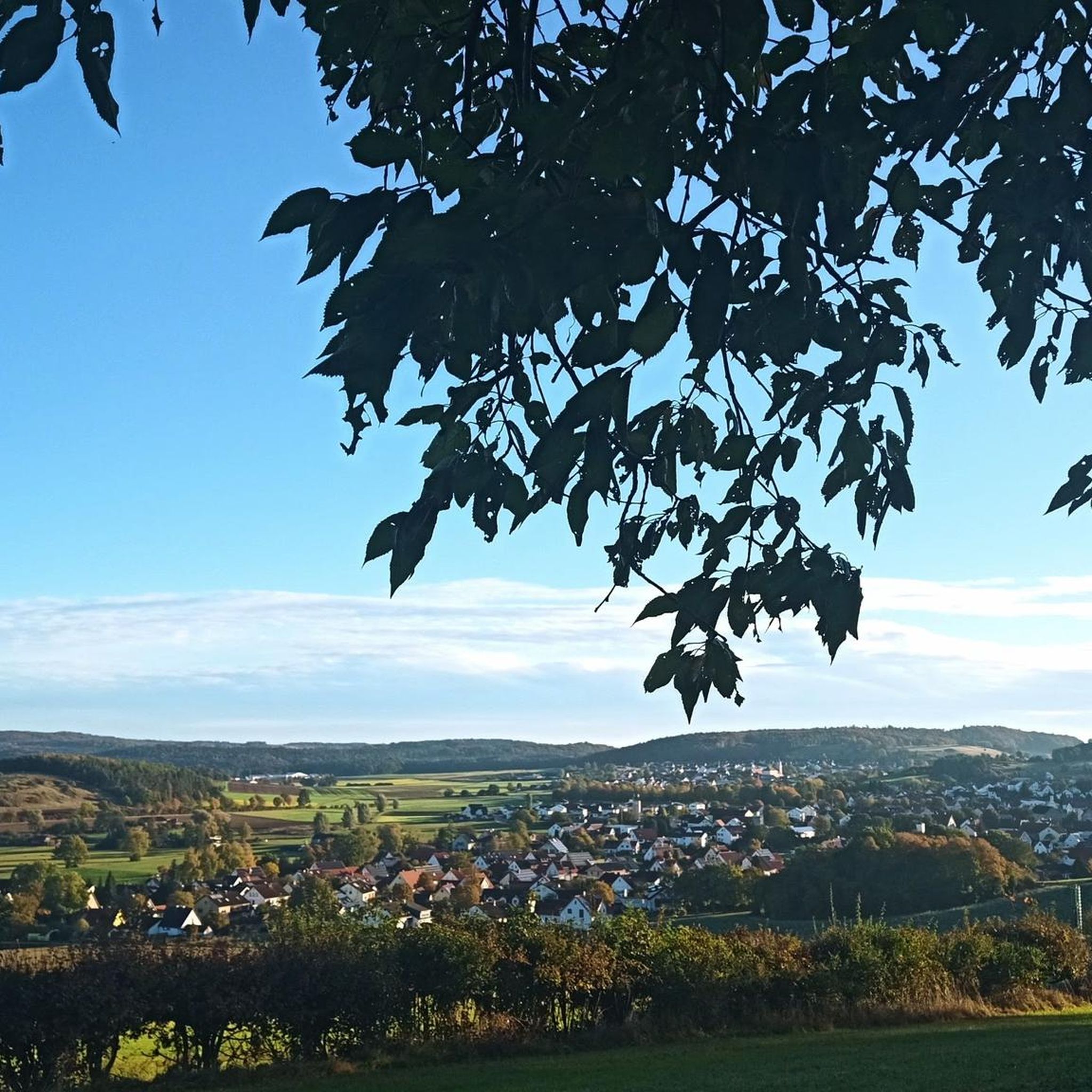
Gravel biking around Flammersfeld
Other adventures around Flammersfeld


Tips from the Community

The Hohe Schaden is not 988 m but only 388.2 m above sea level
0
0

Great view and then an interesting trail down to Bitze follows, but the climb is challenging without an e-bike
0
0

Beautiful shelter with a great view.
3
0

Why is the mountain called that?
0
0

The view extends as far as the Siebengebirge. At least you are well protected from rain if it is not too stormy.
1
0


There is a refuge on the summit of the Bertenauer Kopf. When it's windy, there's a draft in the hut, at least on your head. From there you have a great view towards the Siebengebirge!
5
0

If a peak has a name like that, then you have to go up there, right?
2
0
Frequently Asked Questions
What are some popular elevated viewpoints around Flammersfeld?
The region offers several popular elevated viewpoints. Visitors particularly enjoy the View from Bertenauer Kopf Shelter, which provides distant views and a refuge for rest. Another highly-rated spot is Hoher Schaden, the highest elevation of the municipality Eitorf and the forest area Leuscheid, offering expansive views.
What kind of landscape can I expect when exploring the elevated areas near Flammersfeld?
Flammersfeld, nestled in the Westerwald, is characterized by scenic valleys, rolling hills, and elevated viewpoints rather than towering mountain peaks. You'll find a network of hiking trails offering panoramic views, diverse forests, and charming routes along the Westerwaldhöhen. Valleys like the Wied, Grenzbach, and Fockenbach also contribute to the varied landscape.
Are there challenging routes for experienced hikers or climbers in the region?
Yes, for those seeking a challenge, the Hölderstein rock formation along the WesterwaldSteig offers a challenging 300-meter via ferrata with an elevation difference of approximately 80 meters, equipped with crampons, stirrups, pegs, ladders, and a bridge. Some trails around Hoher Schaden Summit (988 m) also feature steep ascents and descents, including MTB single trails.
Are there easy or family-friendly hiking options around Flammersfeld's elevated areas?
Absolutely. Many trails in the region are suitable for families and offer easier options. For instance, the Highest Point of Hennef is noted as family-friendly. Additionally, komoot offers several easy hiking routes around Flammersfeld, such as the "Hiking loop from Flammersfeld" or the "Brunnenhof Alpaca Walk – Raiffeisen House Flammersfeld loop," which you can explore further on the Easy hikes around Flammersfeld guide.
What unique natural formations can I find near Flammersfeld's elevated points?
The most unique natural formation is the Hölderstein, an impressive rock formation featuring a via ferrata. For those not climbing, it still offers an idyllic vantage point overlooking the restored Grenzbach Valley, where Heck cattle can often be observed. The region also features various natural monuments and striking viewpoints like Hoher Schaden Summit (988 m).
What kind of views can I expect from the viewpoints around Flammersfeld?
From the elevated points, you can expect fabulous panoramic views. For example, the View from Bertenauer Kopf Shelter offers a great view towards the Siebengebirge. From Hoher Schaden Summit (988 m), you get clear views of the blue mountains of the Westerwald. The View of the Siebengebirge from Keuenhofer Wiesen is particularly noted for its beautiful silhouette of the Siebengebirge and is a perfect spot for sunset.
When is the best time to visit the elevated areas around Flammersfeld?
The region is enjoyable throughout much of the year. Spring and autumn offer pleasant temperatures for hiking and cycling, with vibrant foliage or blooming landscapes. The Fockenbach Valley is particularly recommended during warmer months, as it maintains pleasant temperatures and provides a serene environment for outdoor activities.
Are there places to rest or take shelter on the trails?
Yes, several spots offer places to rest. The Bertenauer Kopf Shelter provides a refuge where you can rest and enjoy the distant view. At Hoher Schaden Summit (988 m), you'll find a small idyllic rest bench. Many trails also feature benches at scenic viewpoints.
What outdoor activities can I do near these elevated areas?
The region around Flammersfeld is excellent for various outdoor activities. You can enjoy extensive hiking on trails like those mentioned in the Hiking around Flammersfeld guide, or explore the area by bike, with routes detailed in the Cycling around Flammersfeld guide. The WesterwaldSteig also offers long-distance hiking opportunities, and the Hölderstein provides a unique via ferrata experience.
What do visitors enjoy most about the elevated areas around Flammersfeld?
Visitors frequently praise the stunning panoramic views, the tranquility of nature, and the diverse hiking and cycling opportunities. The unique challenge of the Hölderstein via ferrata is also a highlight for adventure seekers. The well-maintained trails and the serene environments of valleys like the Fockenbach and Grenzbach are highly appreciated for their natural beauty and recreational value.
Are there specific hiking trails recommended for exploring the region's elevated areas?
Yes, the region is crisscrossed with numerous trails. Sections of the long-distance WesterwaldSteig offer fantastic panoramic views and lead through diverse landscapes. For local exploration, you can find various routes in the Hiking around Flammersfeld guide, including moderate options like the "Open-air stage Mehren – Mehrbach loop from Flammersfeld" or the "Bridge over the Wied – Sound Cradle loop from Flammersfeld".
Where can I find the highest points in the Flammersfeld region?
The highest elevation of the municipality Eitorf and the forest area Leuscheid is Hoher Schaden, standing at 388 meters. Another notable high point is the Highest Point of Hennef, located in the locality of Eichholz at 285 meters above sea level.
Most popular routes around Flammersfeld
Most popular attractions around Flammersfeld

Get inspired with the komoot mobile app


Explore more
See even more amazing summits around Flammersfeld with these guides:
