The 11 Most Amazing Peaks around Erligheim
Best mountain peaks around Erligheim are found in the surrounding region, as Erligheim itself is not known for prominent peaks. This area, located in the Landkreis Ludwigsburg in Germany, offers various elevated points that provide natural beauty and recreational opportunities. These locations often feature historical significance, natural landmarks, and diverse landscapes for exploration. The terrain includes a mix of forested hills and elevated viewpoints.
Best mountain peaks around Erligheim
- The most popular mountain peaks is Michaelsberg, Cleebronn, a summit…
Last updated: June 26, 2026
Michaelsberg, Cleebronn
Highlight • Summit
Translated by Google •
Tip by

Baiselsberg — Highest Point in the Stromberg
Highlight • Summit
Translated by Google •
Tip by

Sign up now to discover places like this
Get recommendations on the best single tracks, peaks, & plenty of other exciting outdoor places.
Sign up for free
Schlierkopf Summit
Highlight • Summit
Translated by Google •
Tip by

Heidelberg Summit (Highest Point of Heuchelberg, 336 m)
Highlight • Summit
Translated by Google •
Tip by

View of Michaelsberg and chapel
Highlight • Viewpoint
Translated by Google •
Tip by
Sign up for free to discover even more peaks around Erligheim.
Sign up for free
Already have an account?
Start today with a free account
Your next adventure awaits.
Login or Signup
Popular around Erligheim
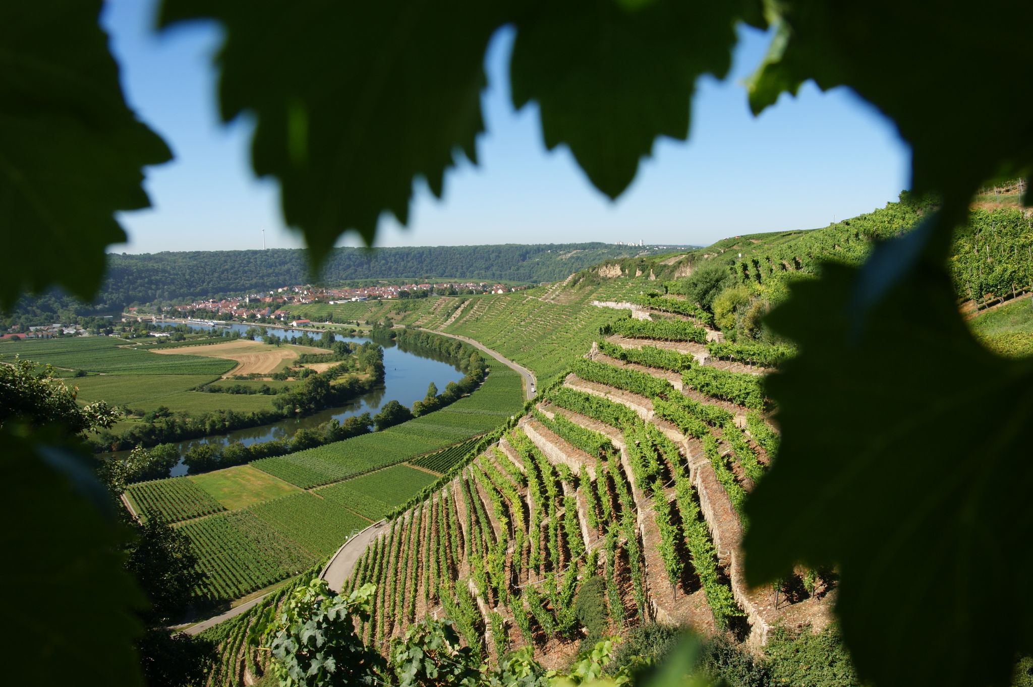
Where the wine grows in loops – hiking in the 3B-Land

Spring in the land of 1,000 hills – Kraichgau-Stromberg in Germany
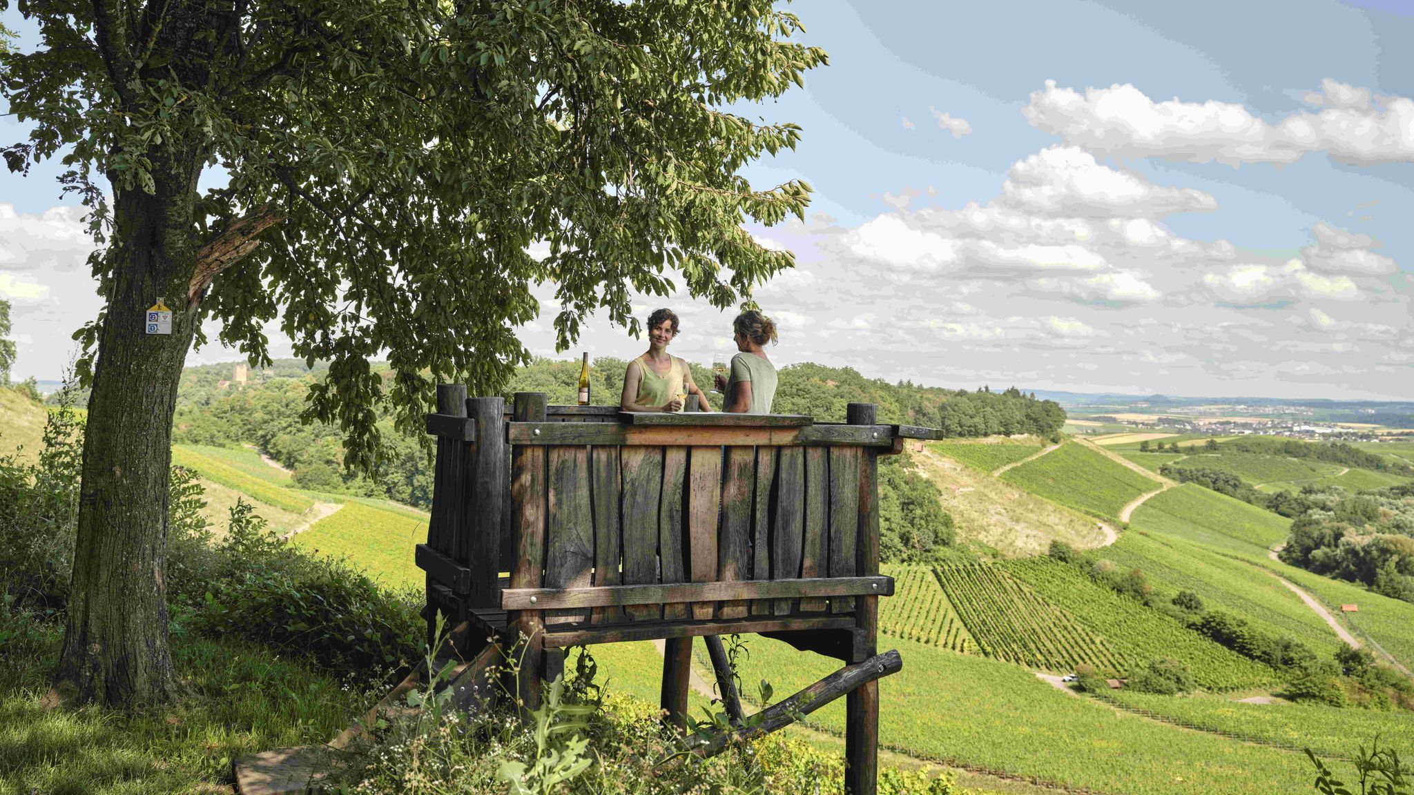
Genusswandern: Auf Wein(wander)wegen durch das Land der 1000 Hügel

Zu Fuß durchs Land der 1000 Hügel
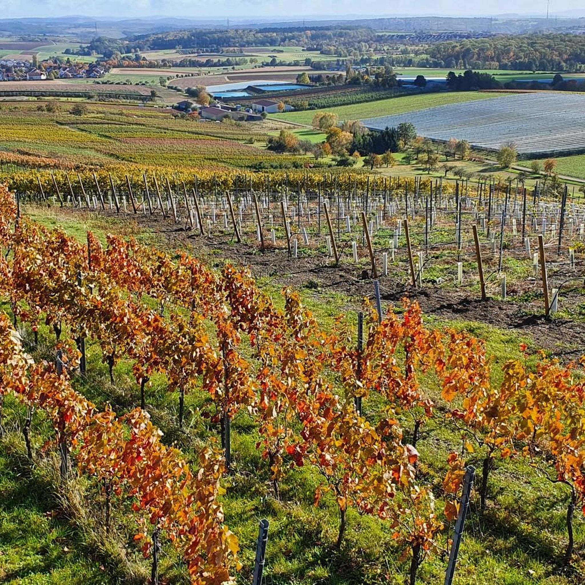
Road Cycling Routes around Erligheim
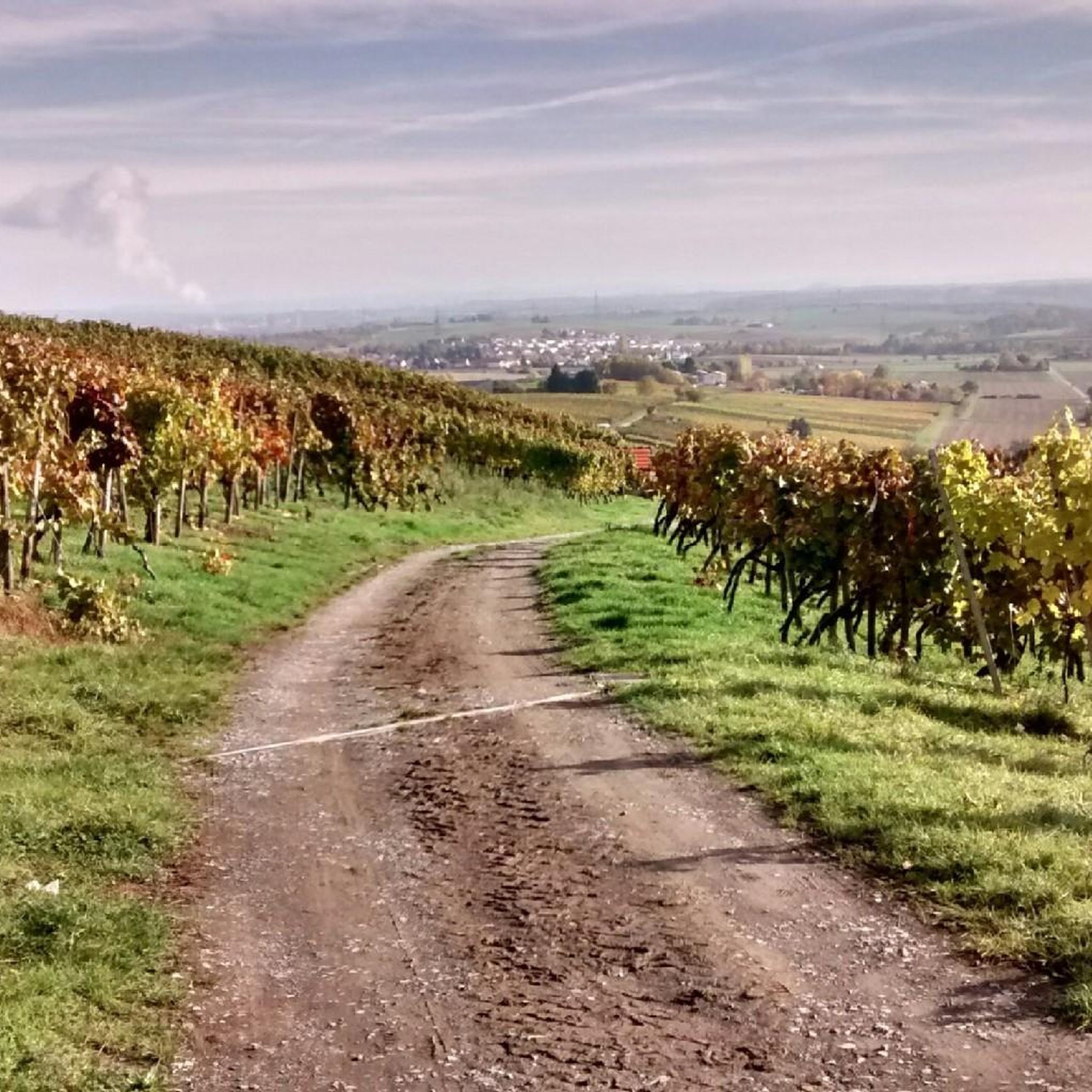
Cycling around Erligheim
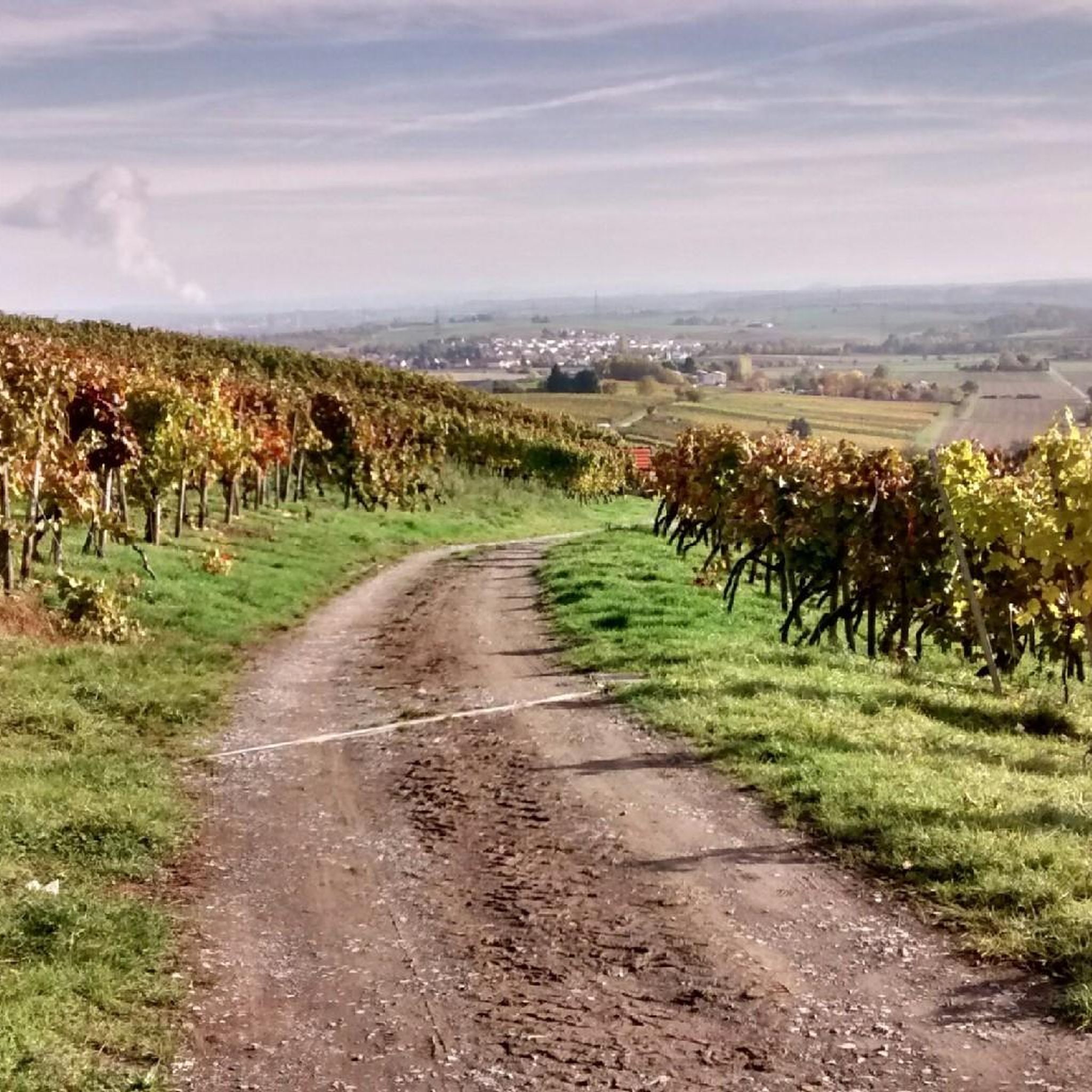
Hiking around Erligheim

Gravel biking around Erligheim
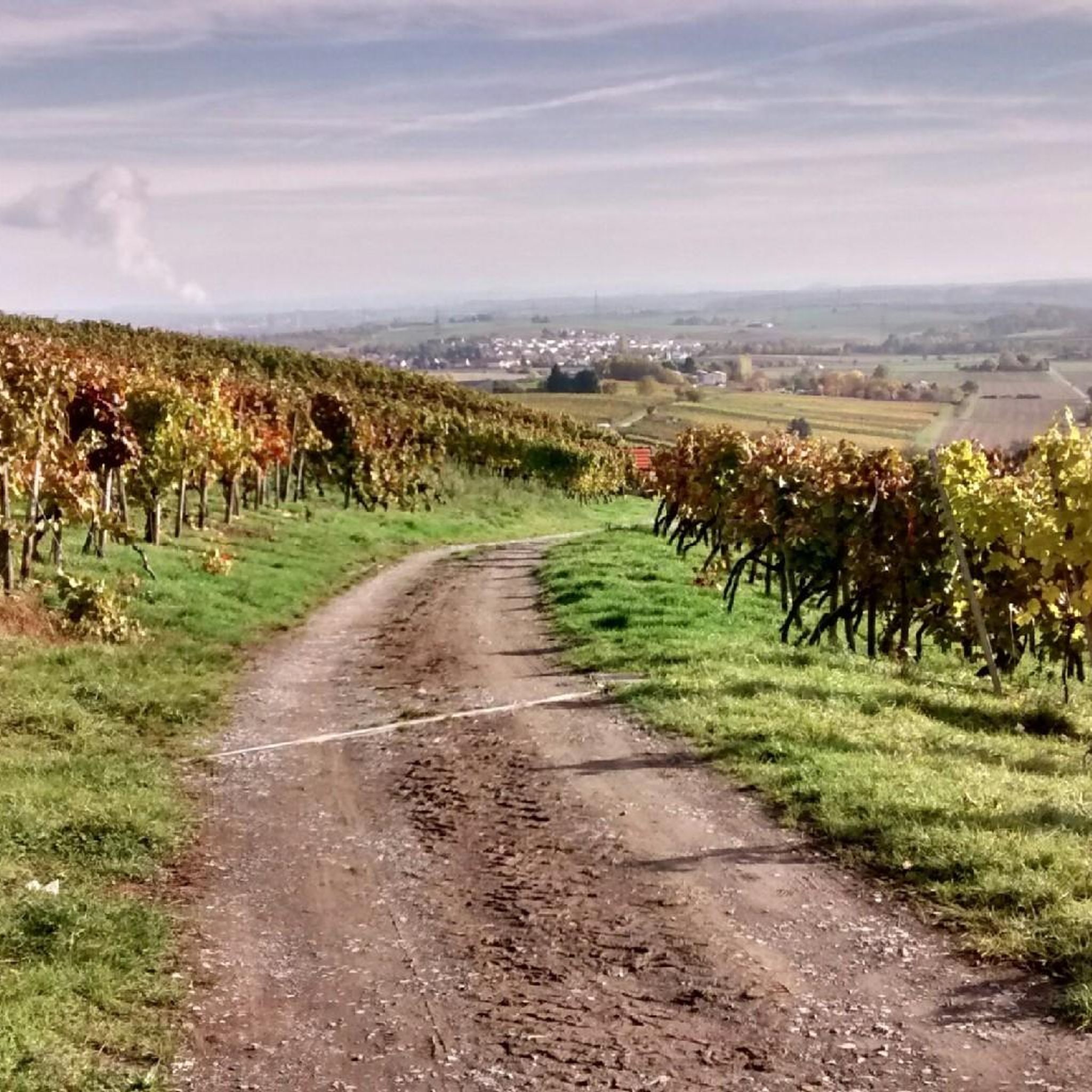
MTB Trails around Erligheim
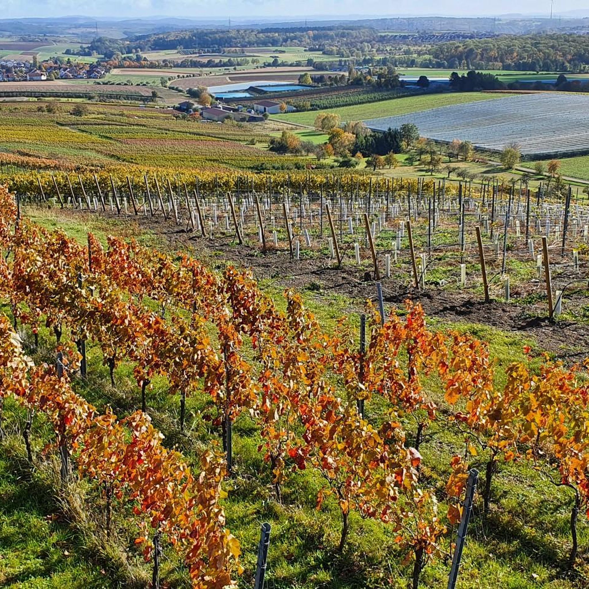
Running Trails around Erligheim
Other adventures around Erligheim

Tips from the Community

Highest point
0
0


I've already been to the top of Michaelsberg, the area there is very beautiful. Today I was at the telecommunications tower, which is a little higher, 472m. ü NN.
0
0

The "summit" is a must to "tick off"! There are great trails all around in a great area👍. "Seltsamonskis" just tick it off with "annoying constant liking"🤣
4
1

The highest point on the Aspen/Heidelberg. Around the Aspen there is a pharmaceutical vision around Nordheim, Dürrenzimmern and Brackenheim
0
0

The Baiselsberg is getting higher and higher, but it is already the "biggest"
6
0
Michaelsberg with its church ⛪️ is the landmark of the entire region; a visit is always worthwhile.
2
0

You can also reach the summit by mountain bike! It is where the summit cross is. Next to it is the surveying stone. Unfortunately there is no view as it is overgrown all around. But no matter, you have to go there at least once!
2
0
Frequently Asked Questions
What kind of mountain peaks can I expect to find around Erligheim?
While Erligheim itself isn't known for towering peaks, the surrounding region offers a variety of elevated points. These include natural summits, historical sites, and viewpoints that provide scenic vistas and recreational opportunities. You'll find a mix of forested hills and elevated spots with diverse landscapes.
Which are some of the most popular mountain peaks to visit near Erligheim?
Visitors frequently enjoy Michaelsberg, Cleebronn, which is the highest elevation in the Zabergäu and offers impressive views along with a historic pilgrimage church. Another popular spot is Baiselsberg — Highest Point in the Stromberg, known for its natural landscape. For panoramic views, the View from the stone bench at the Schönenberg summit is highly appreciated.
Are there any historical or cultural sites among the peaks near Erligheim?
Yes, the region offers historical significance. Michaelsberg, Cleebronn is home to the historic pilgrimage church of St. Michael, dating back to the 12th century, and has ancient roots as a sanctuary. Additionally, the Hohenasperg Fortress, located on a striking mountain visible from a distance, has a long history as a prison and now houses an exhibition by the House of History Baden-Württemberg.
What kind of views can I expect from the mountain peaks in this area?
Many peaks and viewpoints offer excellent vistas. From Michaelsberg, Cleebronn, you can enjoy views of the surrounding vineyards, the Neckarland, and into the Zabergäu, with distant sights of the Swabian Alb on clear days. The View from the stone bench at the Schönenberg summit provides clear views towards Stuttgart.
Are there family-friendly options for exploring the peaks around Erligheim?
Yes, some locations are suitable for families. The View from the stone bench at the Schönenberg summit is listed as family-friendly, offering a pleasant spot to rest and enjoy the scenery. For general outdoor activities, many of the trails around these peaks are accessible for various skill levels, making them suitable for family outings.
What outdoor activities can I do near these mountain peaks?
The region around Erligheim is excellent for various outdoor activities. You can find numerous hiking trails, with options ranging from easy to moderate. Mountain biking is also popular, especially around areas like Baiselsberg — Highest Point in the Stromberg which is known for potential downhill trails. Road cycling routes are also available. For detailed routes, you can explore guides like Hiking around Erligheim, MTB Trails around Erligheim, and Road Cycling Routes around Erligheim.
Are there specific hiking trails associated with these peaks?
Yes, many peaks are integrated into hiking networks. For instance, the Schlierkopf Summit can be reached via wooden steps and offers a descent towards the Katzenbachsee. The ascent from Rennweg to Schlierkopf is noted as a small challenge in wet weather. You can find various routes that incorporate these peaks in the Hiking around Erligheim guide.
What is the highest point in the Stromberg region?
The highest point in the Stromberg region is Baiselsberg — Highest Point in the Stromberg. While it may not always offer expansive views due to forest cover, it's a significant natural landmark and a popular spot for outdoor enthusiasts, especially for downhill trails.
What is the highest point in the Heuchelberg region?
The Heidelberg Summit (Highest Point of Heuchelberg, 336 m) is considered the highest point in the Heuchelberg by the forest administration. Although it's described as unspectacular, marked by a wooden board on a tree, it's a notable point for those exploring the Heuchelberg area.
What do visitors particularly enjoy about the mountain peaks around Erligheim?
Visitors frequently highlight the impressive views, especially from spots like Michaelsberg, Cleebronn and the View from the stone bench at the Schönenberg summit. The natural beauty, the historical significance of sites like Michaelsberg, and the recreational opportunities for hiking and cycling are also highly appreciated by the komoot community, with over 370 upvotes and 410 photos shared for these locations.
Are there any man-made elevated points or landmarks in the broader region?
Yes, the broader region includes some interesting man-made elevated points. The Grüner Heiner near Weilimdorf is a significant 'replenishment mountain' and local landmark. The Gerlinger Kopf, while reforested, was originally created from a former garbage dump and now offers views and recreational opportunities as Gerlingen's second-highest point.
Most popular routes around Erligheim
Most popular attractions around Erligheim

Get inspired with the komoot mobile app


Explore more
See even more amazing summits around Erligheim with these guides:
