Top 3 Gorges around Kühlungsborn
Best canyons around Kühlungsborn are characterized by the region's unique coastal geology rather than traditional deep gorges. Kühlungsborn, located on Germany's Baltic Sea coast, features a landscape shaped by the last ice age, including a prominent forested ridge known as The Kühlung. The area is notable for its dramatic cliff coasts, such as the Steilküste, which offers scenic views and diverse paths for exploration. These natural features provide varied terrain for outdoor activities.
Best canyons around Kühlungsborn
- The most popular…
Last updated: June 26, 2026
Beach and Cliffs Near Rerik
Highlight • Beach
Translated by Google •
Tip by

Cliff Coast of Börgerende-Nienhagen
Highlight • Gorge
Translated by Google •
Tip by

Sign up now to discover places like this
Get recommendations on the best single tracks, peaks, & plenty of other exciting outdoor places.
Sign up for free
Baltic Sea Cliffs
Highlight • Viewpoint
Translated by Google •
Tip by

Liebesschlucht Beach Access
Highlight • Beach
Translated by Google •
Tip by

Cliffside Path at Reerik
Highlight • Trail
Translated by Google •
Tip by

Start today with a free account
Your next adventure awaits.
Login or Signup
Popular around Kühlungsborn
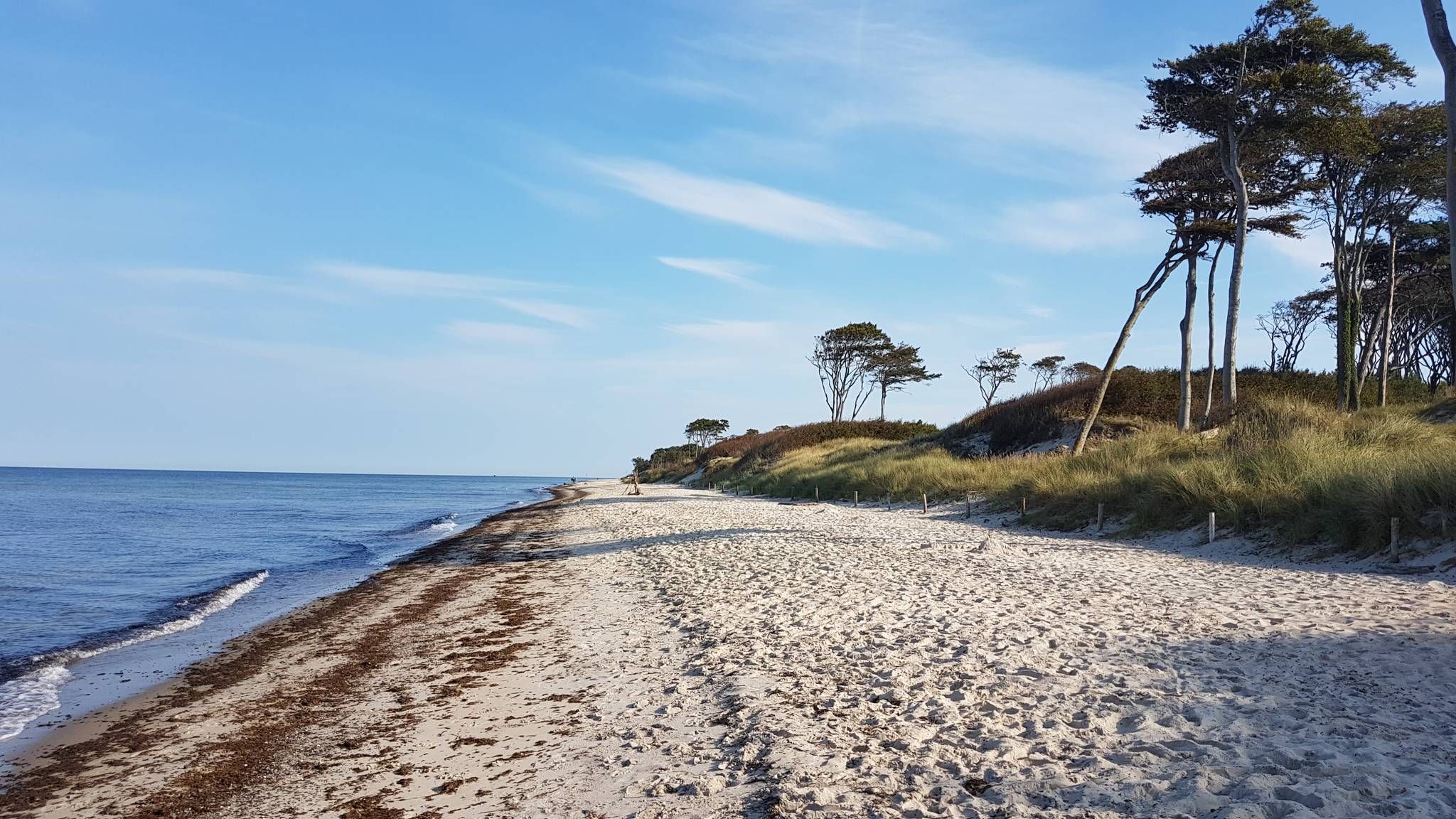
The E9 along the Baltic Sea — Explore an epic coastline
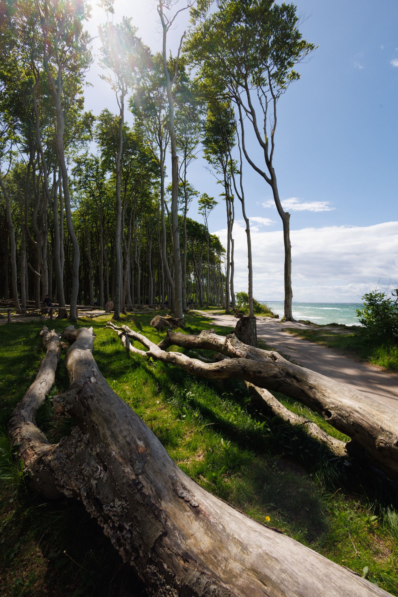
Coastal charm in Kühlungsborn — cycling to the Baltic Sea coast
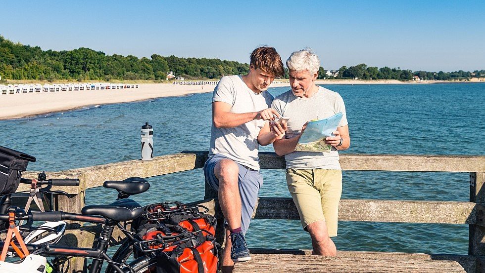
Westlicher Backstein-Rundweg
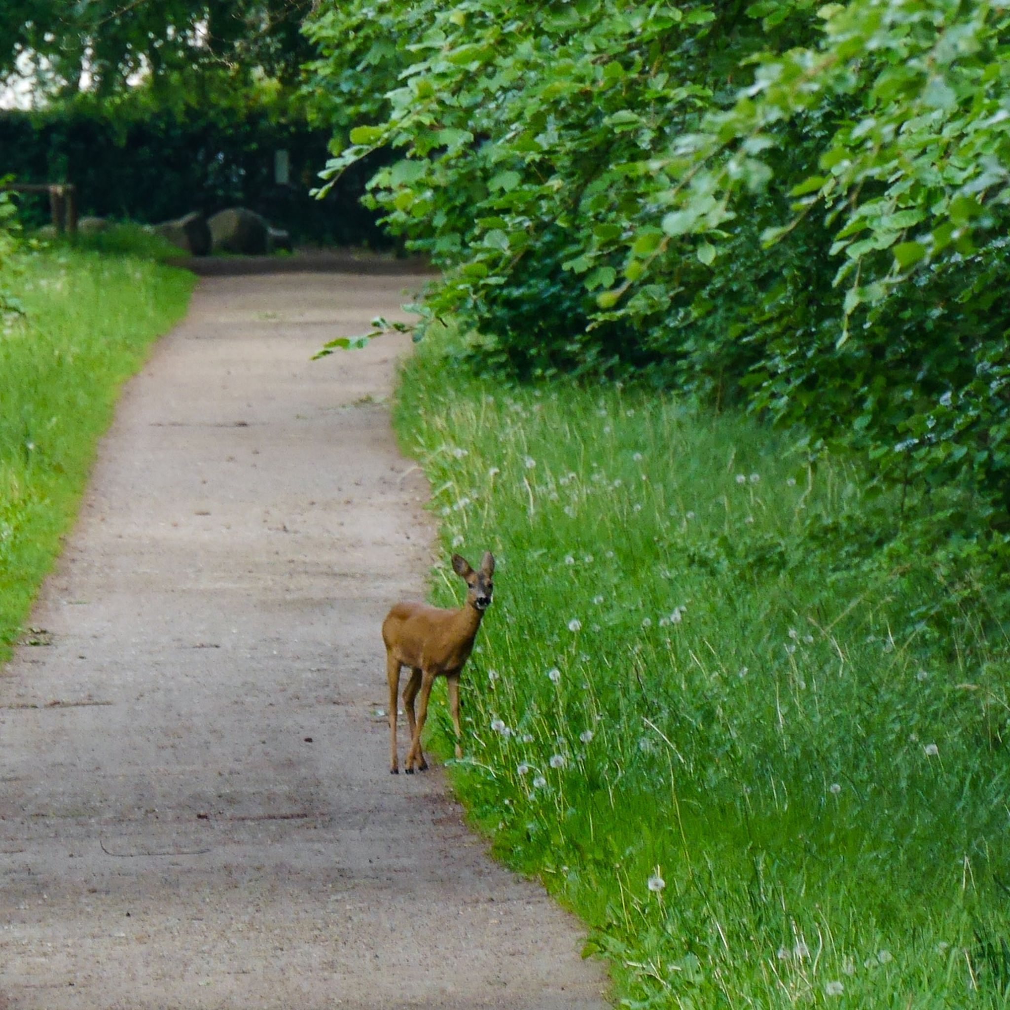
Hiking around Kühlungsborn
Cycling around Kühlungsborn
Running Trails around Kühlungsborn
Road Cycling Routes around Kühlungsborn
MTB Trails around Kühlungsborn
Gravel biking around Kühlungsborn


Tips from the Community


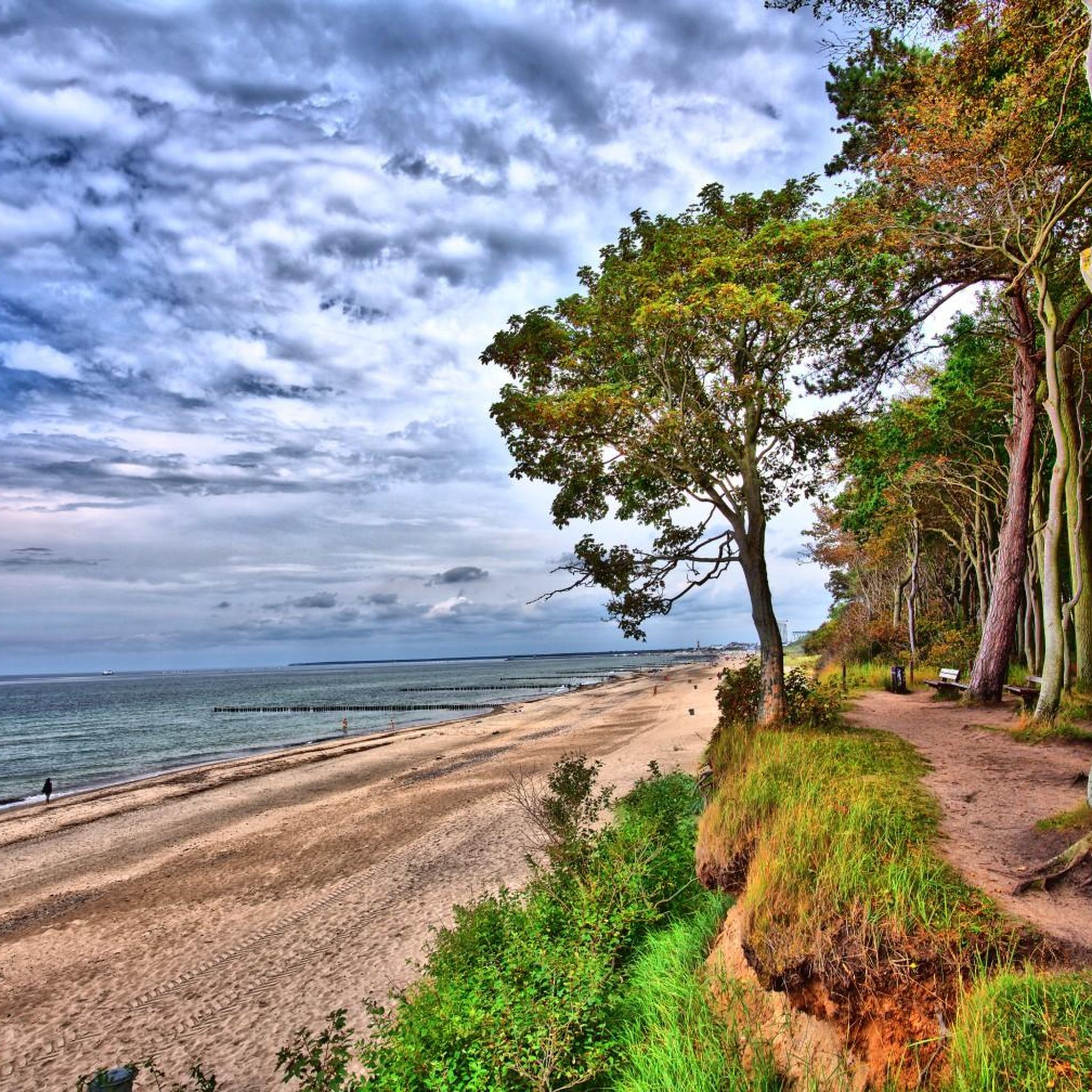
There are interesting erosion areas west of the Ghost Forest. You are not allowed to walk up on the coast, but a little further into the forest you can walk down to the beach and then west to the cliff.
0
0


Swimming is permitted. However, caution is also advised: the cliff is constantly affected by collapses, landslides and rockfalls, especially after heavy rainfall, frost, storms or floods. For your own safety, the information and warning signs should be respected and observed. The shore recedes by around 25 cm every year. As a result, sand from the sea has to be transported to the coast again and again.
2
0
The steep coast in Nienhagen - consisting of ice age deposits - is a defining feature of the state-approved seaside resort and is therefore subject to strict protection conditions. Along the steep bank there are beach sections with fine sand that are ideal for swimming. 🏄⛵
2
0

On the cliffs of Reerik
0
0

Impressive cliffs.
1
0
Frequently Asked Questions
What kind of natural features can I expect to find around Kühlungsborn?
Around Kühlungsborn, you'll discover a unique landscape shaped by the last ice age, featuring dramatic cliff coasts (known as 'Steilküste') and a prominent forested ridge called 'The Kühlung'. These areas offer scenic views and diverse terrain for outdoor activities, rather than traditional deep canyons. You can explore features like the Cliff Coast of Börgerende-Nienhagen, which is a natural monument, or the coastal forest trails near Rerik.
Are there hiking trails along the cliff coasts near Kühlungsborn?
Yes, there are several hiking opportunities along the cliff coasts. For instance, a trail leads from the beach area at the Rerik pier to the Ostseecamp Seeblick, offering views of the sea and beach below. You can also find the Cliffside Path at Reerik, located in the coastal forest, providing views from the cliffs. Be aware that some paths, like sections of the Cliff Coast Between Börgerende and Nienhagen, may be closed due to erosion, with diversions signposted.
What are some popular coastal areas to explore near Kühlungsborn?
Visitors frequently enjoy the Beach and Cliffs Near Rerik, where a hiking trail offers views from the steep coast. Another popular spot is the Cliff Coast of Börgerende-Nienhagen, a natural monument known for its ice age deposits and beach sections. These areas are appreciated by the komoot community, with many photos shared.
Are the coastal trails around Kühlungsborn suitable for families?
Many coastal trails offer accessible sections, but some areas along the cliff coasts require caution due to natural erosion. For example, the Beach and Cliffs Near Rerik features a hiking trail with stairs leading to the upper path, which can be explored by families. However, always observe local warning signs, especially near eroding cliffs like the Eroding Cliffs Between Heiligendamm and Nienhagen, where bank demolitions are possible.
What outdoor activities can I do near the coastal features of Kühlungsborn?
Beyond exploring the cliff coasts, Kühlungsborn offers a variety of outdoor activities. You can find numerous hiking trails, including easy options like the 'Kühlungsborn Beach – Kühlungsborn Beach Promenade loop'. For cycling enthusiasts, there are road cycling routes such as the 'Heiligendamm Seaside Resort – Heiligendamm Beach Promenade loop'. You can find more details on these activities in our guides for Hiking around Kühlungsborn and Road Cycling Routes around Kühlungsborn.
What is 'The Kühlung' and what does it offer?
The Kühlung is a significant forested ridge south of Kühlungsborn, formed during the last ice age. This densely wooded area provides extensive hiking trails, allowing visitors to immerse themselves in unspoiled nature. From higher points within The Kühlung, you can enjoy excellent views of the Mecklenburg Baltic Coast.
Is there a city forest in Kühlungsborn for walks?
Yes, the City Forest Kühlungsborn is centrally located between the east and west districts of the town. This 133-hectare forest is a tranquil oasis with well-developed hiking and cycling trails, making it ideal for leisurely walks among its diverse deciduous and coniferous trees. You can find more information about it on visit-mv.com.
What should I be aware of when visiting the cliff coasts?
When visiting the cliff coasts, especially after heavy rainfall, frost, storms, or floods, caution is advised. The cliffs are constantly affected by collapses, landslides, and rockfalls. For your safety, always respect and observe information and warning signs. For example, the Eroding Cliffs Between Heiligendamm and Nienhagen are known for unsecured bank breaks.
What do visitors enjoy most about the coastal areas near Kühlungsborn?
Visitors particularly enjoy the impressive coastal views and the opportunity to combine beach walks with forest trails. The unique geological formations, like the ice age deposits of the Cliff Coast of Börgerende-Nienhagen, and the scenic paths along the steep coast, such as those near Rerik, are highly appreciated for their natural beauty and photographic opportunities.
Are there any easy hiking routes near the coastal features?
Yes, there are several easy hiking routes available. For example, the 'Kühlungsborn Beach – Kühlungsborn Beach Promenade loop from Kühlungsborn Ost' is an easy 7.7 km route. Another easy option is the 'View of Kühlungsborn Marina – Steep Coast Near Kühlungsborn loop from Kühlungsborn Ost', which is about 7.6 km. You can explore more easy options in our Easy hikes around Kühlungsborn guide.
Can I swim at the beaches along the cliff coasts?
Swimming is generally permitted at designated beach sections along the cliff coasts, such as those found at the Cliff Coast of Börgerende-Nienhagen. These areas often feature fine sand. However, it's crucial to remain vigilant and heed any local warnings, as the cliffs are subject to natural erosion and collapses, which can affect beach safety.
What is the best time of year to visit the coastal and forest areas around Kühlungsborn?
The coastal and forest areas around Kühlungsborn offer beauty throughout the year. Spring and summer are ideal for enjoying the beaches and lush greenery of the forests. Autumn provides stunning foliage in areas like The Kühlung. Even winter can be beautiful for hiking, especially during storms when the eroding cliffs, such as those Between Heiligendamm and Nienhagen, offer a dramatic sight, though extra caution is needed due to potential ice and erosion.
Most popular routes around Kühlungsborn
Most popular attractions around Kühlungsborn

Get inspired with the komoot mobile app


Explore more
Already discovered everything in this region? See additional gorges around Kühlungsborn for your next adventure:
