The 4 Most Amazing Peaks around Bundorf
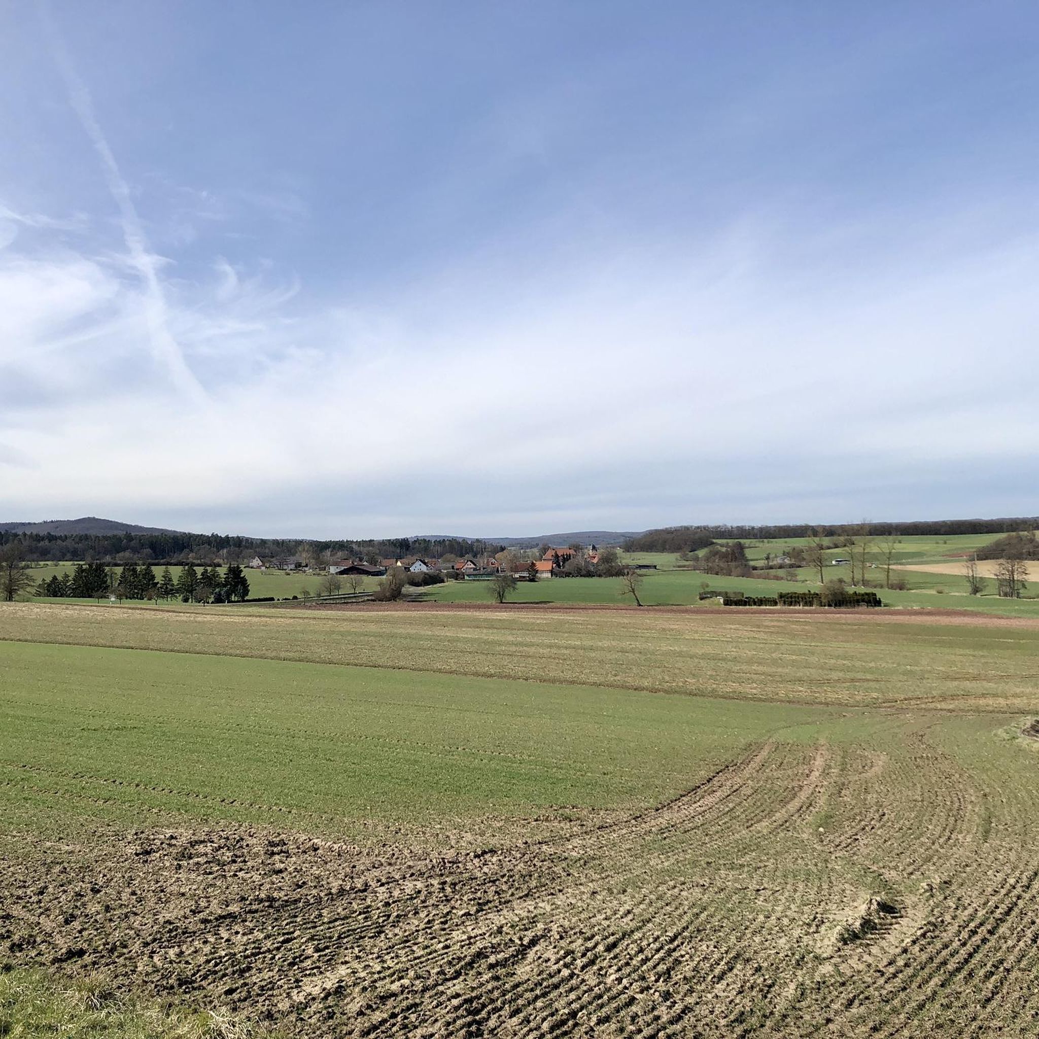
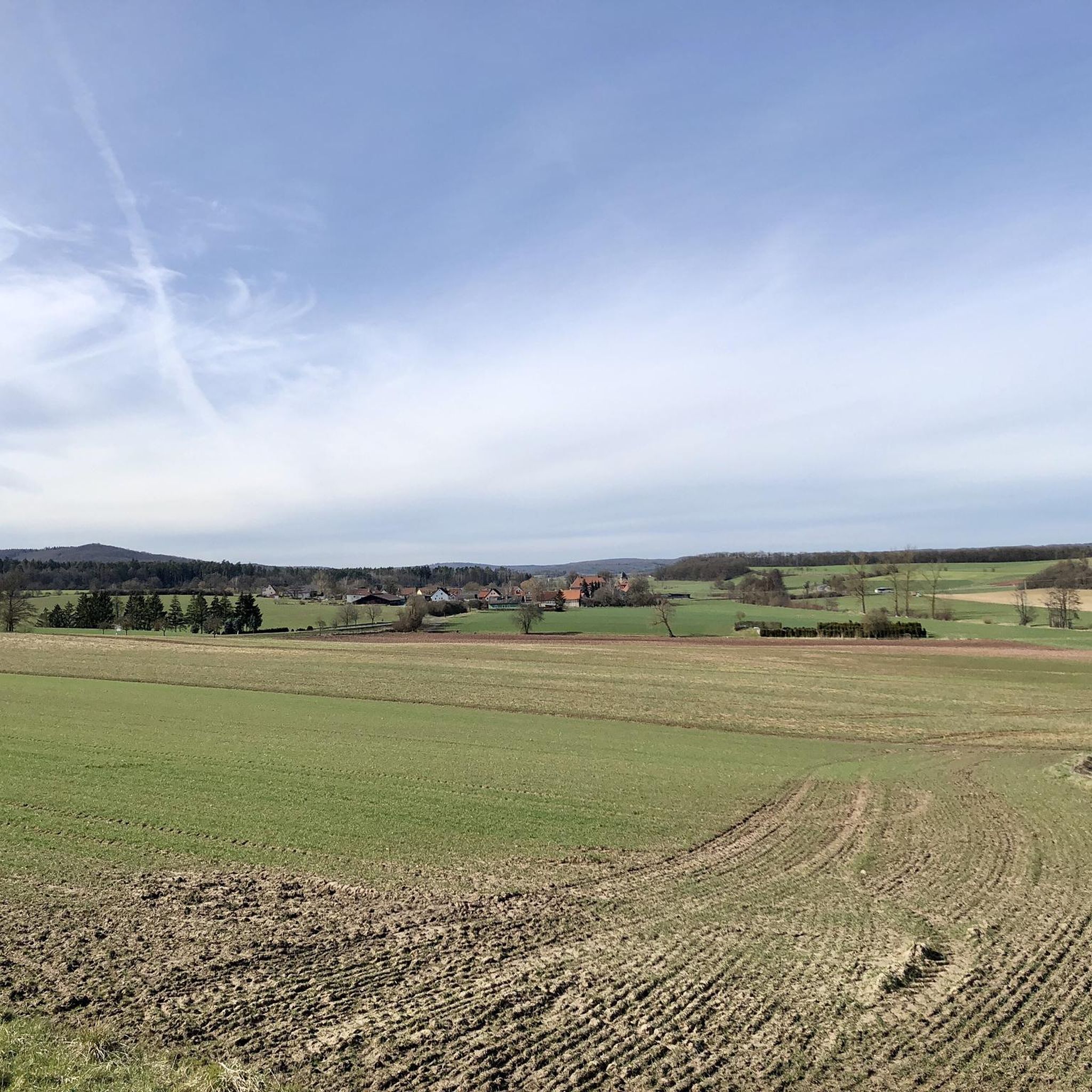
Best mountain peaks around Bundorf are characterized by rolling, forested hills rather than towering peaks. The municipality of Bundorf is situated in the Haßberge hill chain, an eastern extension of the Rhön mountains. The highest point within the broader Haßberge district is the Nassacher Höhe, reaching an elevation of 512.2 meters above sea level. The area offers a landscape of forested hills, ideal for hiking and exploring nature within the Haßberge Nature Park.
Best mountain peaks around Bundorf
- The most…
Last updated: June 26, 2026
Bramberg Castle Ruins
Highlight • Castle
Showing Translation
Tip by

Nassacher Höhe (512.2 m)
Highlight • Summit
Translated by Google •
Tip by

Sign up now to discover places like this
Get recommendations on the best single tracks, peaks, & plenty of other exciting outdoor places.
Sign up for free
Summit cross and viewpoint
Highlight • Summit
There is a shelter here and you can see the entire mining area.
Translated by Google •
Tip by
View from Mainberg Summit
Highlight • Viewpoint
Translated by Google •
Tip by

View of Königshöfer Land
Highlight • Viewpoint
Showing Translation
Tip by
Start today with a free account
Your next adventure awaits.
Login or Signup

Tips from the Community

A must for mountain bikers on the Green Belt.
1
0
Great view, very nice resting place.
0
0

Great view in magnificent nature, directly on the Green Belt.
3
0
A sign explains the nature and history at the Green Belt. The so-called border guard bench was donated by former border guards. Recently, a sign has been placed here, which explains the nature and history of the local section. Rest and get informed, plus the view - it's worth it.
1
0

A journey into history with lots of information on the panels.
11
0
At 512.2 m above sea level, the Nassacher Höhe is the highest mountain in the Haßberge mountain range on the Rennweg in the Haßberge district of Bavaria. It is located in the Franconian Haßberge Nature Park above Nassach, a district of Aidhausen. The summit lies within the municipality of Hofheim in Lower Franconia.
11
0
The ruins of Bramberg Castle are located within the Haßberge Nature Park on the summit of the 494.3-meter-high Bramberg, an extinct volcanic cone of the Heldburg Gangschar, approximately 2 kilometers northwest of the village of Bramberg, a western district of Ebern, and about 5 kilometers (as the crow flies) northeast of the city of Königsberg in Bavaria. It is surrounded by the Goßmannsdorf Forest. Source and further information: https://de.wikipedia.org/wiki/Burg_Bramberg_(Ha%C3%9Fberge)
12
0
If you've made it this far, nothing can stop you.
13
0
Frequently Asked Questions
What kind of 'mountain peaks' can I expect around Bundorf?
The Bundorf region is characterized by rolling, forested hills rather than towering mountain peaks. It's part of the Haßberge hill chain, an eastern extension of the Rhön mountains. The area is ideal for hiking and exploring nature within the Haßberge Nature Park.
What are the highest points or most prominent hills in the Bundorf area?
The highest point in the broader Haßberge district is the Nassacher Höhe (512.2 m). Other prominent elevations include Laub Hill (504 m), which is the highest point in the Schweinfurt district and second highest in the Haßberge, and the Bramberg (494.3 m), home to the Bramberg Castle Ruins.
Are there historical sites or castles on these hills?
Yes, the region is known for its historical sites. A notable example is the Bramberg Castle Ruins, an impressive ruined castle perched high on the 494.3-meter-high Bramberg. It offers incredible views and a journey into history with informative panels.
What are the best viewpoints in the Bundorf region?
Several locations offer great views. The Bramberg Castle Ruins provide an incredible panorama. The Nassacher Höhe (512.2 m) is also a known viewpoint. Additionally, the Summit cross and viewpoint on the Zeilberg offers views of Altenstein, the Haßberge, and the striking Bramberg, along with a shelter.
Are there family-friendly hiking options around Bundorf?
Yes, the Bramberg Castle Ruins are considered family-friendly. The area's rolling hills and forested trails within the Haßberge Nature Park generally offer accessible options for families to explore nature.
What kind of hiking trails can I expect near these hills?
You can expect natural hiking trails, often through dense forests. For instance, the path to Laub Hill offers a good ascent through a wonderfully dense forest. Many trails are within the Franconian Haßberge Nature Park, providing varied terrain suitable for intermediate hikers.
What outdoor activities can I do near the hills of Bundorf?
Beyond hiking, the Bundorf area offers excellent opportunities for cycling. You can find various routes for MTB Trails, Gravel Biking, and general Cycling, exploring the forested hills and scenic landscapes.
What is the best time of year to visit the Bundorf region for outdoor activities?
The Haßberge Nature Park, with its forested hills, is beautiful throughout the warmer months, from spring to autumn. Spring offers blooming nature, summer provides lush greenery, and autumn showcases vibrant fall foliage, making these seasons ideal for hiking and cycling.
What do visitors enjoy most about the hills around Bundorf?
Visitors particularly appreciate the natural beauty of the forested hills and the historical charm of sites like the Bramberg Castle Ruins. The opportunity for natural hiking trails through dense forests and the incredible views from various summits are also highly valued by the komoot community.
Are there any specific routes or trails that are highly recommended?
While specific routes vary, the area around Laub Hill is known for its natural hiking trails through dense forests. The Rennweg trail passes directly by the Nassacher Höhe (512.2 m), offering another great option for exploration.
Most popular routes around Bundorf
Most popular attractions around Bundorf

Get inspired with the komoot mobile app


Explore more
See even more amazing summits around Bundorf with these guides:
