Top 14 Huts and Cabins around Blaufelden
Huts around Blaufelden are situated within the larger Landkreis Schwäbisch Hall region, characterized by its natural landscapes and proximity to various hiking and biking routes. The area offers opportunities to explore valleys like the Blaubach and Brettach, providing a setting for outdoor activities. Blaufelden serves as a central point for accessing these routes, with specific locations like the Schutzhütte Albverein Blaufelden acting as rest stops for hikers. The region's terrain includes forests and water protection areas, contributing to its appeal…
Last updated: October 13, 2026
Bauerhütte Großforst – E-Bike Charging & Drinks Stop
Highlight • Mountain Hut
Translated by Google •
Tip by

Giant Sequoias in Braunst
Highlight • Natural Monument
The remaining meadow was the forest garden in which the plants were transplanted into the forest after 4 years …
Translated by Google •
Tip by

Sign up now to discover places like this
Get recommendations on the best single tracks, peaks, & plenty of other exciting outdoor places.
Nonnenwald Hut
Highlight • Mountain Hut
The main ones are coast redwoods. But also yews, tujas etc.
A few years ago there was also a tulip tree. But it must have dried up.
Translated by Google •
Tip by
Forest Cabin in Nonnenwald
Highlight • Mountain Hut
Translated by Google •
Tip by
Hegenest Forest and Hut
Highlight • Forest
You should have seen the beautiful lake and the Zwerenberg deserted area.
Too bad that the paths are not optimally gravelled.
Translated by Google •
Tip by
Sign up for free to discover even more huts and cabins around Blaufelden.
Already have an account?
Start today with a free account
Your next adventure awaits.
Popular around Blaufelden
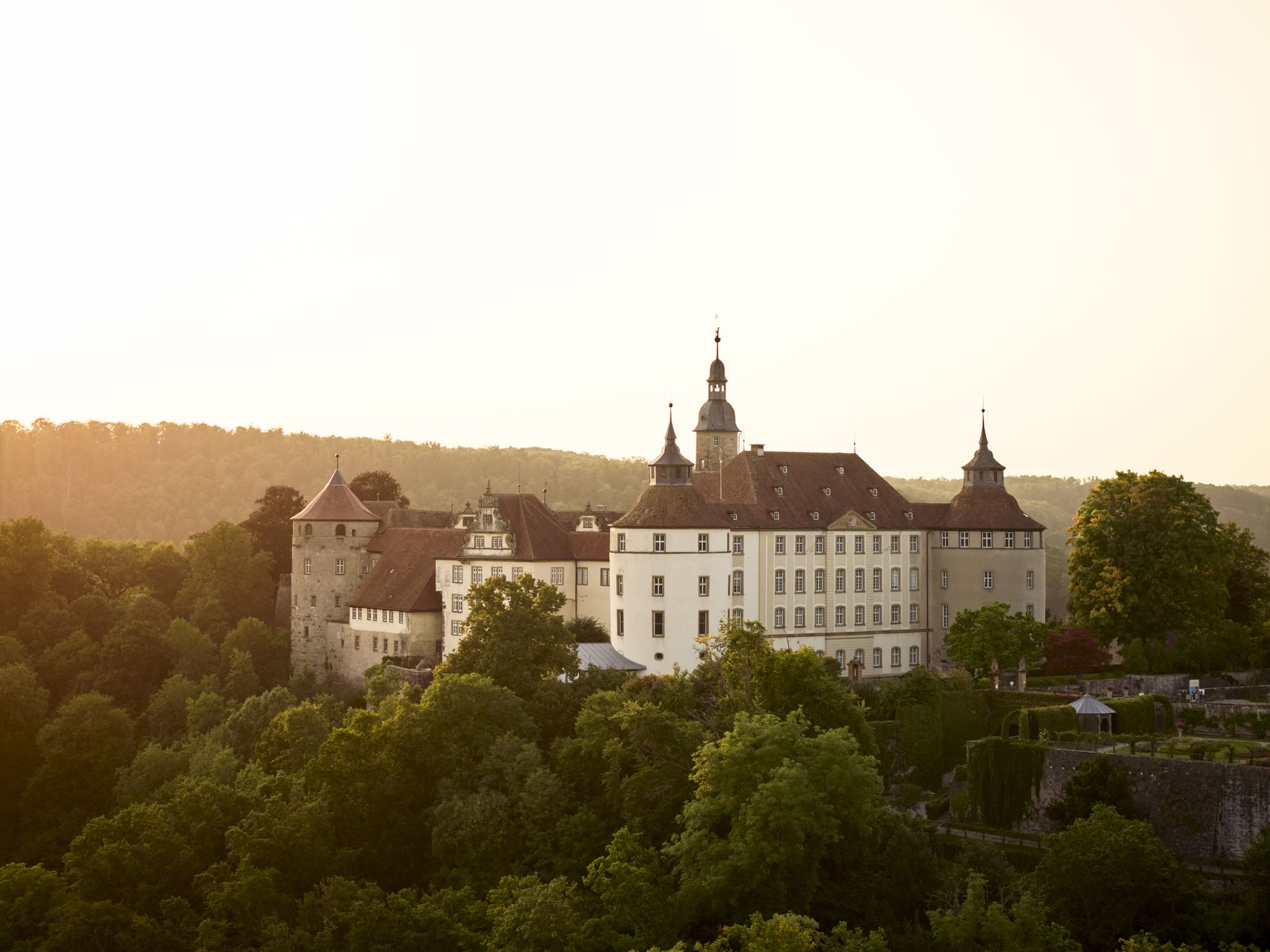
Where castles reign and palaces shine – cycling in the Süden ganz oben
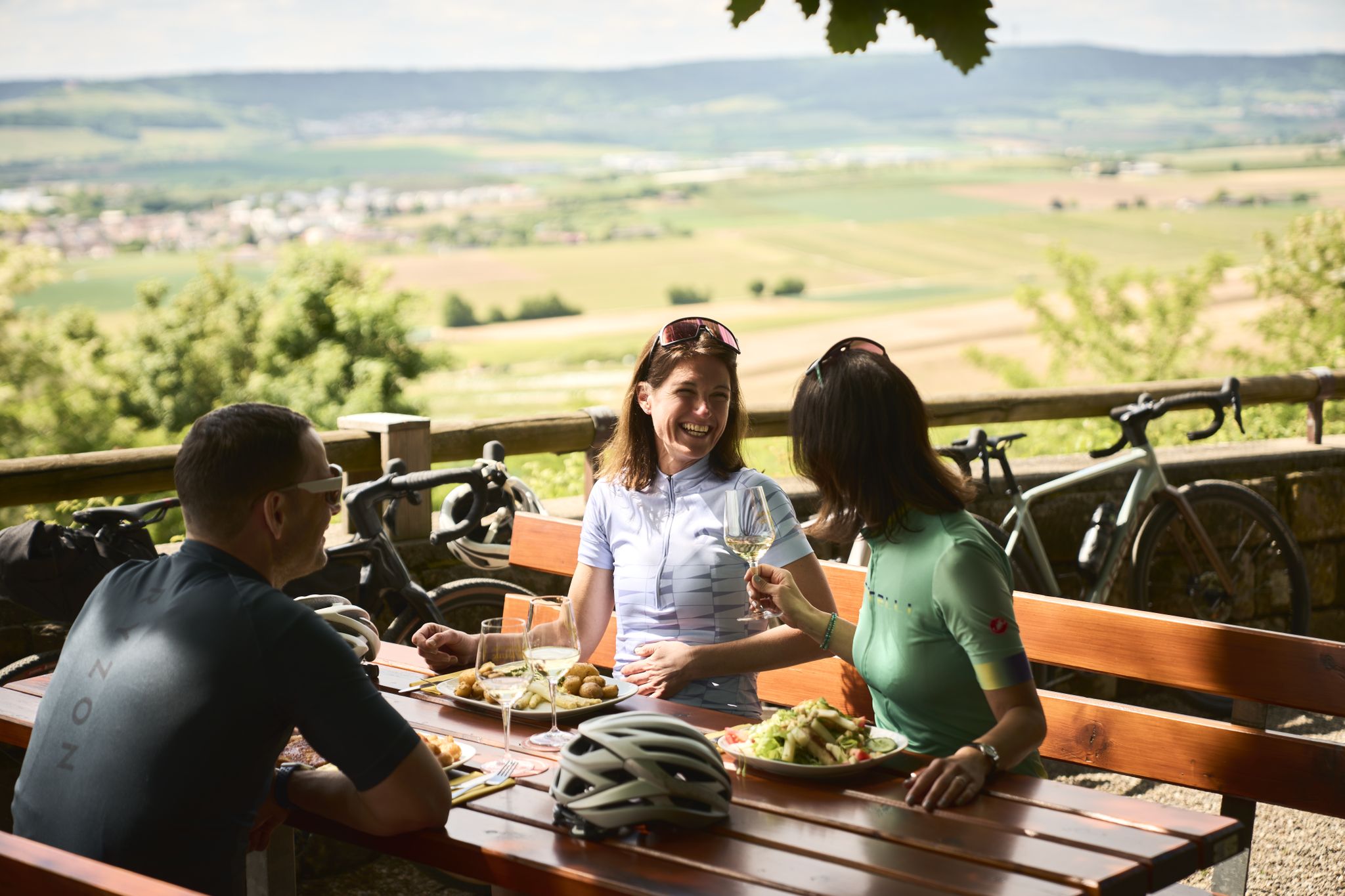
Cycling and local cuisine – pleasure rides in the Süden ganz oben
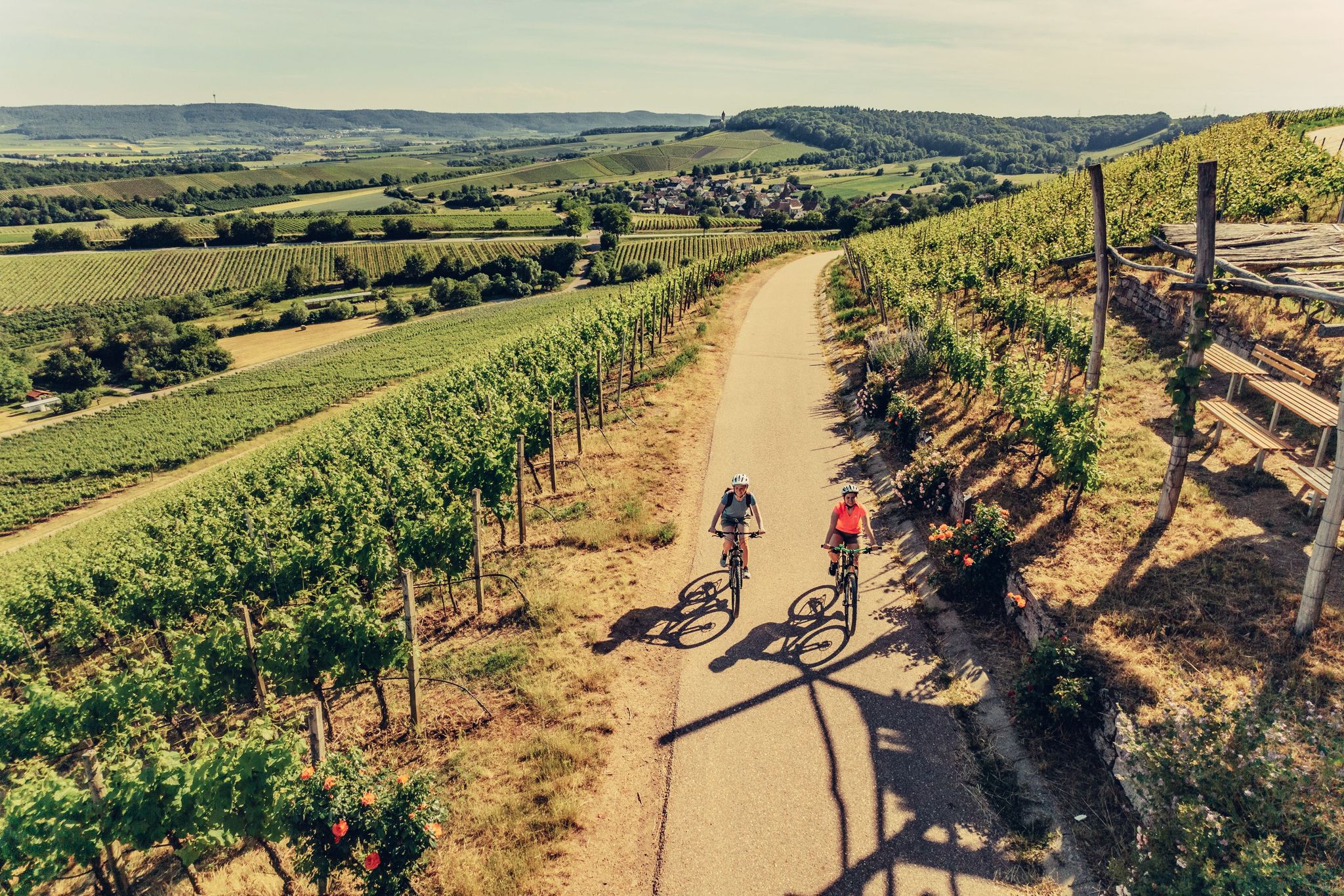
E-bike day Tours along the Tauber, Kocher, Jagst and Neckar rivers
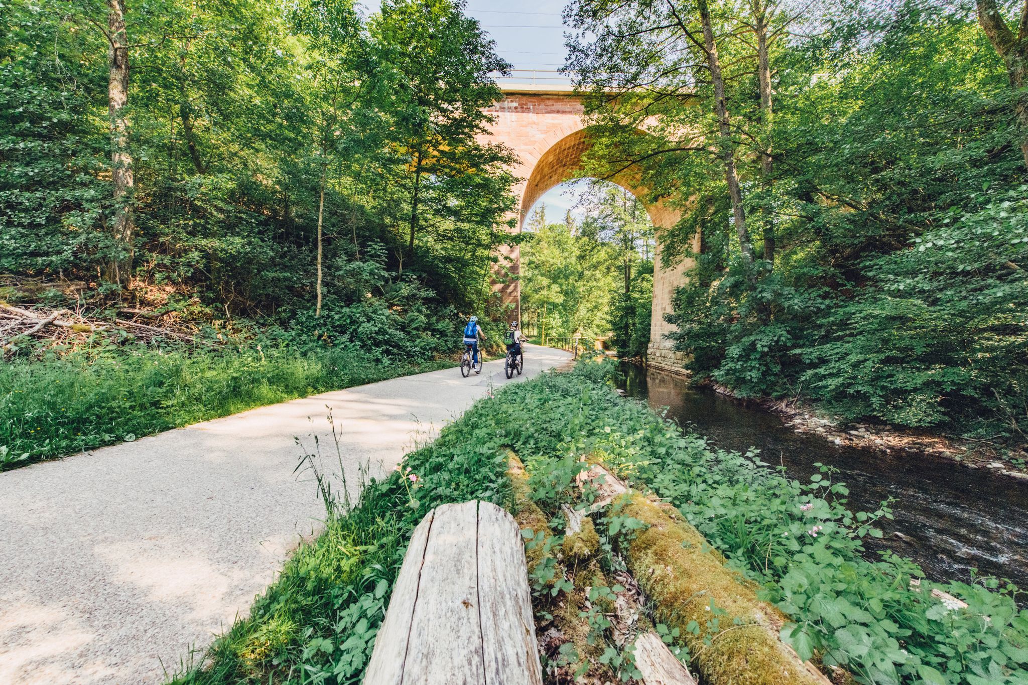
Weekend rides along the Kocher, Jagst and Neckar rivers in Germany
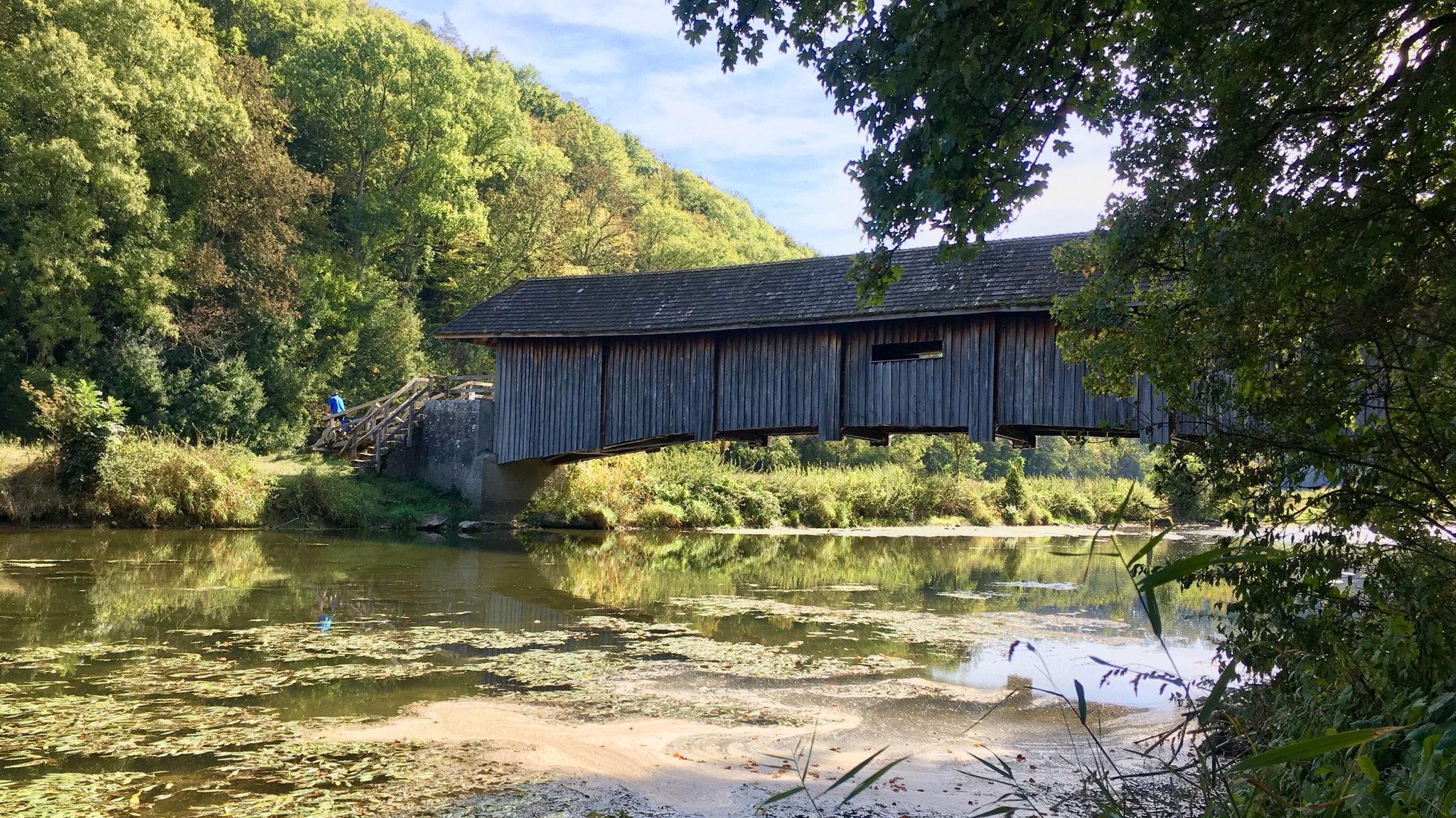
Kocher-Jagst-Trail – Naturerlebnis und Kulturgenuss im Herzen Hohenlohes
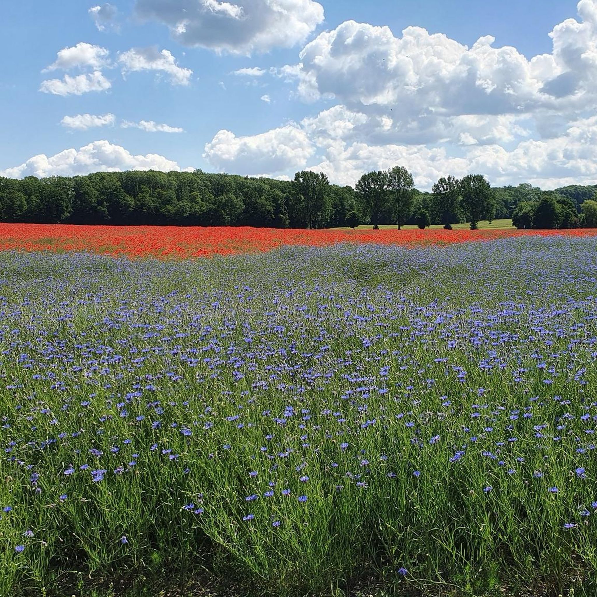
Cycling around Blaufelden
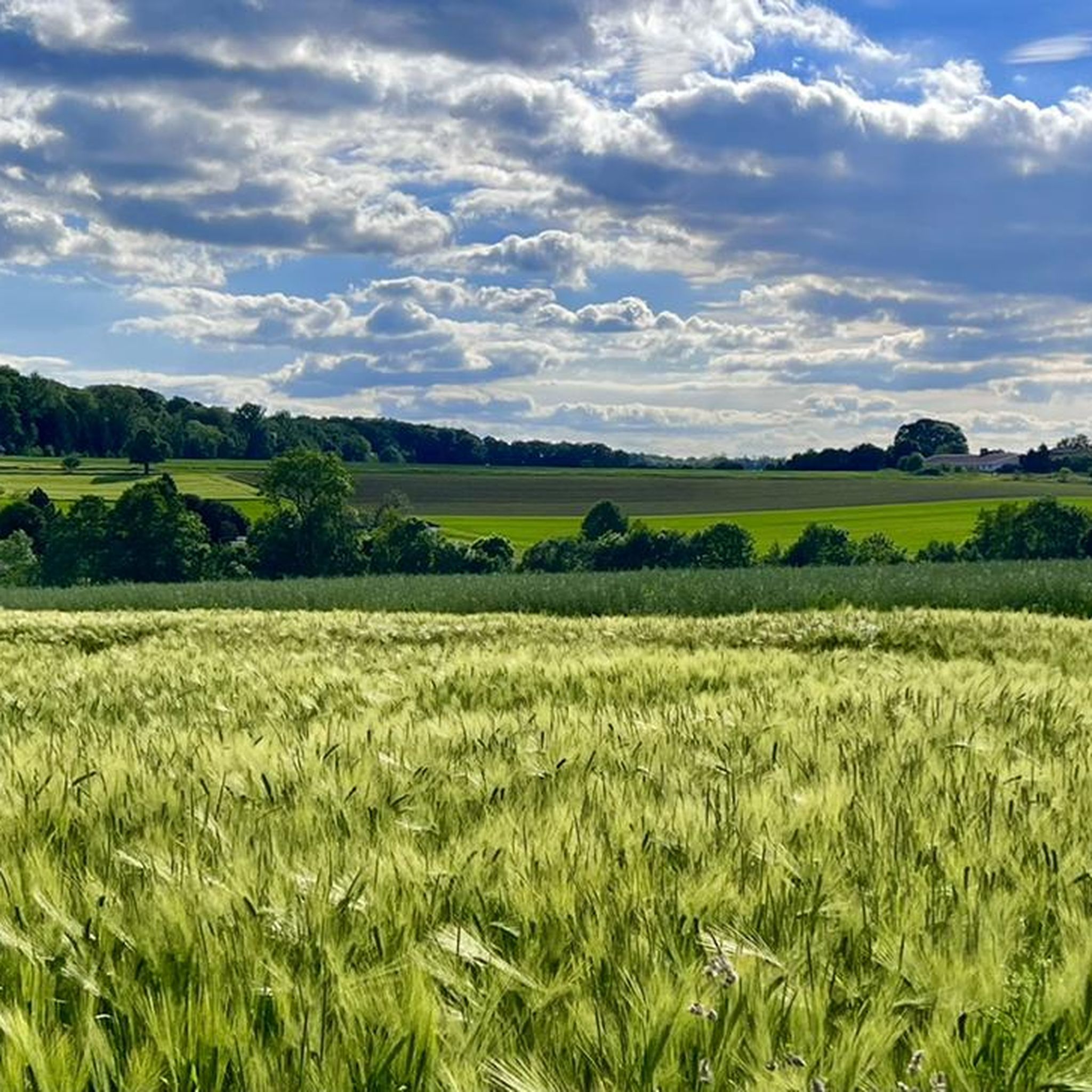
Hiking around Blaufelden
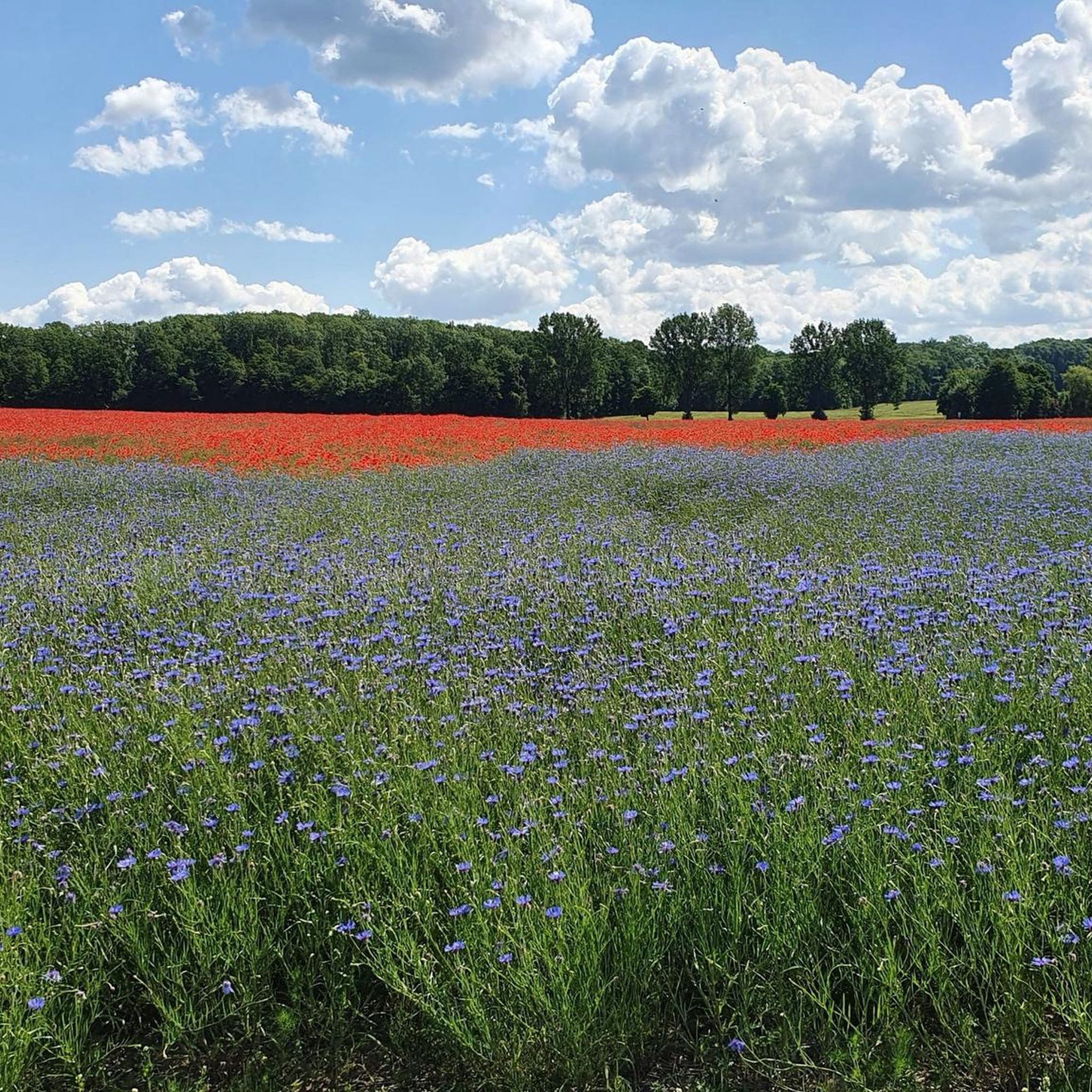
MTB Trails around Blaufelden
Road Cycling Routes around Blaufelden
Running Trails around Blaufelden
Other adventures around Blaufelden


Tips from the Community

It's a bit of a strange taste, the horse skeleton for example. The fridge is getting old, but the drinks are all in bottles. In any case, a welcome change.
4
1

First aid, charging the battery and cold drinks are available - be sure to have change with you
5
1

If you want to go to Kirchberg, you have to climb steeply straight ahead. If you want to go to Gerabronn via Liebesdorf, drive over the bridge here.
4
0

Brunst used to mean mountain. I.e. Brunstwald is the mountain forest. Derived from the word "bryn" meaning hill. The word can be found in Welsh dictionaries. I.e. this word may have a Germanic or Celtic origin.
3
2
Historical documents show that the forest is Hegenest Würzburgisch (bishop). Since many farms and villages in the area were sold to the Schäftersheim monastery, it can be assumed that the forest was also worked by the monastery. Between 1802 and 1810 Hohenlohe-Bartenstein had to cede some villages in Lower Alsace to France as a result of the Reichsdeputationsgesetz (see map). As a replacement, Hohenlohe-Bartenstein received, among other things, the Heftenwald (approx. 130ha) near Rinderfeld and the Hegnest (approx. 150ha), as well as approx. 15 villages in Hohenlohe. Attention: Hohenlohe-Jagstberg and Hohenlohe-Bartenstein belonged together around 1800. For financial reasons, Hohenlohe-Bartenstein sold the magazines to the state of Württemberg (1934) and Wald Hegenest (approx. 1980) to the Böblingen municipal works.
7
3
Until 1830, the Braunst forest (formerly Brunst) was a private forest owned by the people of Oberstetten with 105 owners. In 1830 the state of Württemberg bought this forest. In the contract it says: There were many disputes about hunting justice, including poaching with Hohenlohe-Bartenstein, Rosenberg and Hatzfeld-Haltenbergstetten and Schrozberg. Each community law got 1100 fl. The building society made up 3,000 fl, from which each owner of community rights gets 40 trunks a 11.15m for building a house and 30 trunks for a shambles in money. Supposedly, some people from Oberstetten drank away the income from the sale of the forest.
3
2
The forestry hut there belonged to the former state tree nursery. The meadow that still exists was the forestry garden in which the plants were transplanted into the forest after 4 years of cultivation. Not only the sequoias are interesting, but also the two yew trees in between. Caution: everything about the yews is poisonous!
2
2
The giant sequoias were discovered in the USA in 1852. The nature-loving Wilhelm I is said to have been so enthusiastic about reports and travelers that in 1864, shortly before his death, he ordered seeds of the sequoia for US$ 90. The king had ordered a lot (15g) of seeds. The Americans translated the amount as "a lot". This corresponds to 470g. That weight was then seeds for 100,000 trees. About 8000 trees could be produced from the seeds. These were then schooled and distributed to all forestry offices in Württemberg. The trees in Braunst are likely to have come from a subsequent generation.
4
2
Frequently Asked Questions
What types of huts are available around Blaufelden?
Around Blaufelden, you can find various types of huts, including simple shelters, forest huts, and those offering specific facilities. Examples include the Shelter at the water protection area, which is family-friendly and has a rentable shelter with toilets and a barbecue hut, and forest huts like the Nonnenwald Hut.
Are there family-friendly huts in the Blaufelden area?
Yes, several huts are suitable for families. The Shelter at the water protection area is noted as family-friendly, featuring a large rentable shelter with toilets and a roofed barbecue hut. The Bauerhütte Großforst – E-Bike Charging & Drinks Stop also falls into the family-friendly category.
What natural features can I explore near the huts?
The huts around Blaufelden are situated amidst natural landscapes, including forests and valleys. You can explore areas like the Blaubach and Brettach valleys. Huts such as Hegenest Forest and Hut and the Nonnenwald Hut are located within beautiful forest settings, with the latter known for its experimental tree plantings, including coast redwoods.
Are there huts that offer refreshments or facilities?
Yes, some huts provide facilities. The Bauerhütte Großforst – E-Bike Charging & Drinks Stop offers an e-bike charging station and a drinks machine. The Shelter at the water protection area includes toilets and a barbecue hut. Additionally, the Schutzhütte Albverein Blaufelden is typically open on Sundays and public holidays, offering refreshments.
What hiking opportunities are available near the huts?
The huts are well-integrated into the region's hiking network. For example, the Schutzhütte Albverein Blaufelden is conveniently located near routes like a 9.5 km Blaubach Brettach valley hike and a 6.7 km hike to Bebenburg ruin. You can find various hiking trails in the area, including easy and moderate options. Explore more routes in the Hiking around Blaufelden guide.
Can I find easy hiking trails near the huts in Blaufelden?
Yes, there are several easy hiking trails accessible from the huts. For instance, you can find easy loops around Blaubachsee, such as the Blaubachsee loop from Burg Flyhöhe (5.29 km) or the Blaubachsee loop from Burg Amlishagen (5.09 km). The Easy hikes around Blaufelden guide provides more options.
Are there mountain biking trails near the huts?
Yes, the Blaufelden region offers mountain biking opportunities. The Schutzhütte Albverein Blaufelden is near routes like a 29.4 km MTB tour into the Blaubach and Brettach valleys. For more extensive rides, you can check out the MTB Trails around Blaufelden guide, which includes moderate to difficult routes like the 59.69 km Schrozberg Castle loop from Rot am See.
What is the Schutzhütte Albverein Blaufelden and when is it open?
The Schutzhütte Albverein Blaufelden is a popular hut operated by the Albverein Blaufelden, serving as a rest stop for hikers and outdoor enthusiasts. It is typically open on Sundays and public holidays from 10:00 AM to 12:00 PM. From Easter until October 30th, it reopens in the afternoon and stays open until 6:00 PM. Groups can arrange for service on weekdays by prior arrangement.
What makes the Nonnenwald Hut special?
The Nonnenwald Hut is located in a forest where foresters have experimentally planted different species of trees, including coast redwoods, yews, and tujas. This unique arboreal diversity makes it an interesting spot for nature lovers. Historically, the area was known as Flinswald, meaning 'stony forest'.
What do visitors appreciate most about the huts and surrounding areas?
Visitors frequently highlight the natural beauty and tranquility of the region. They enjoy the untouched forests, the idyllic valleys like Jagsttal, and the opportunity to rest and recharge at huts like the Bauerhütte Großforst before continuing their adventures. The unique tree species in the Nonnenwald also receive positive mentions.
Is there a hut with e-bike charging facilities?
Yes, the Bauerhütte Großforst – E-Bike Charging & Drinks Stop is specifically equipped with an e-bike charging station, making it a convenient stop for cyclists exploring the area.
Can I find a hut with barbecue facilities?
Yes, the Shelter at the water protection area offers a roofed barbecue hut, perfect for outdoor cooking and gatherings.
Most popular routes around Blaufelden
Most popular attractions around Blaufelden

Get inspired with the komoot mobile app


Explore more
Find more beautiful huts and cabins around Blaufelden by checking out the top ones in these nearby places:
