The 4 Most Amazing Peaks around Hausen bei Würzburg
Best mountain peaks around Hausen bei Würzburg are characterized by picturesque hilly landscapes and significant elevations, ideal for hiking and offering scenic views. The area is situated on the edge of the Gramschatzer Wald forest, a key recreational area known for its extensive network of hiking trails. While not traditional towering peaks, the region features notable elevations like the Sternberg at 374 meters within the Gramschatzer Wald, providing diverse opportunities for outdoor activities. These elevated areas offer panoramic vistas over…
Last updated: July 10, 2026
Steinhöhe Summit Cross
Highlight • Summit
Translated by Google •
Tip by

Luisenhöhe Summit Cross
Highlight • Summit
Translated by Google •
Tip by

Sign up now to discover places like this
Get recommendations on the best single tracks, peaks, & plenty of other exciting outdoor places.
Sign up for free
Breitfeldhöhe Summit and Panoramic Viewpoint
Highlight • Summit
Translated by Google •
Tip by

Breitfeldhöhe – Highest Point Near Retzbach
Highlight • Summit
Translated by Google •
Tip by
Start today with a free account
Your next adventure awaits.
Login or Signup
Tips from the Community

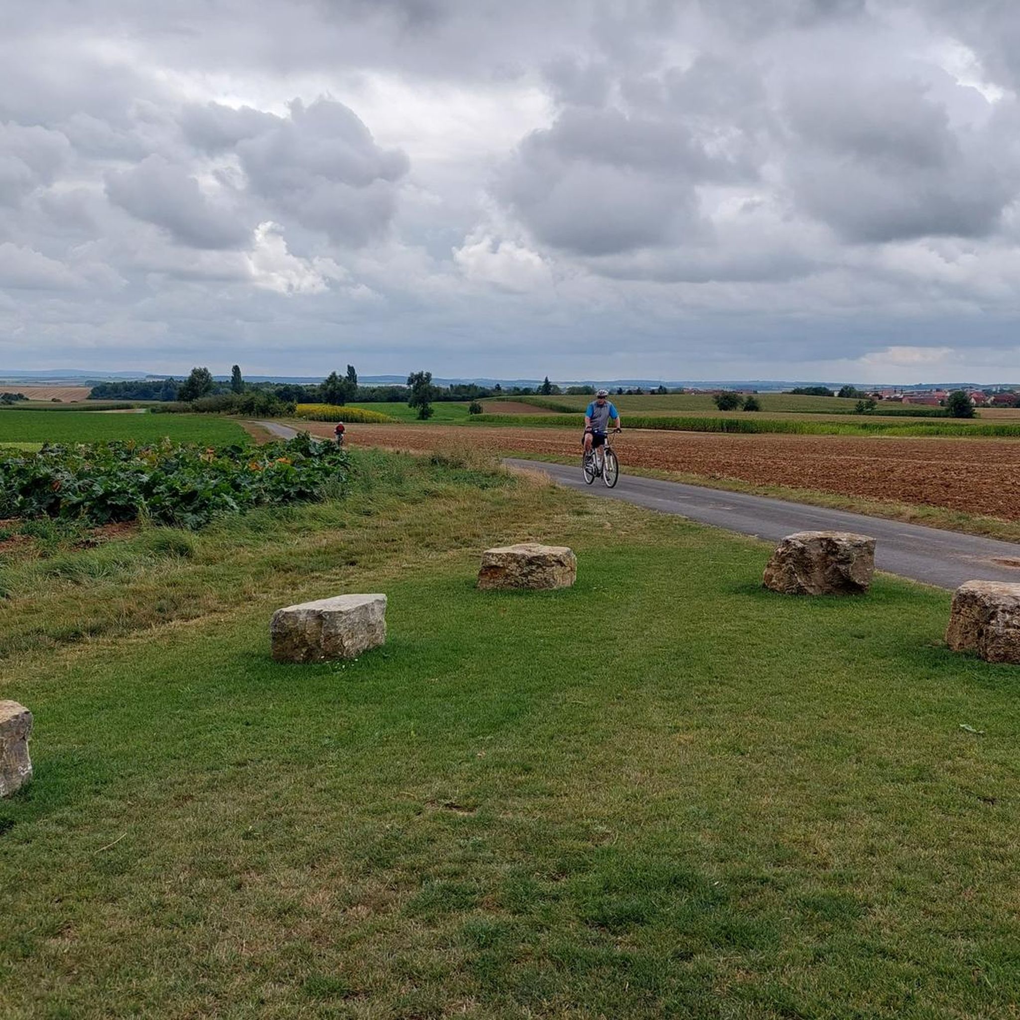
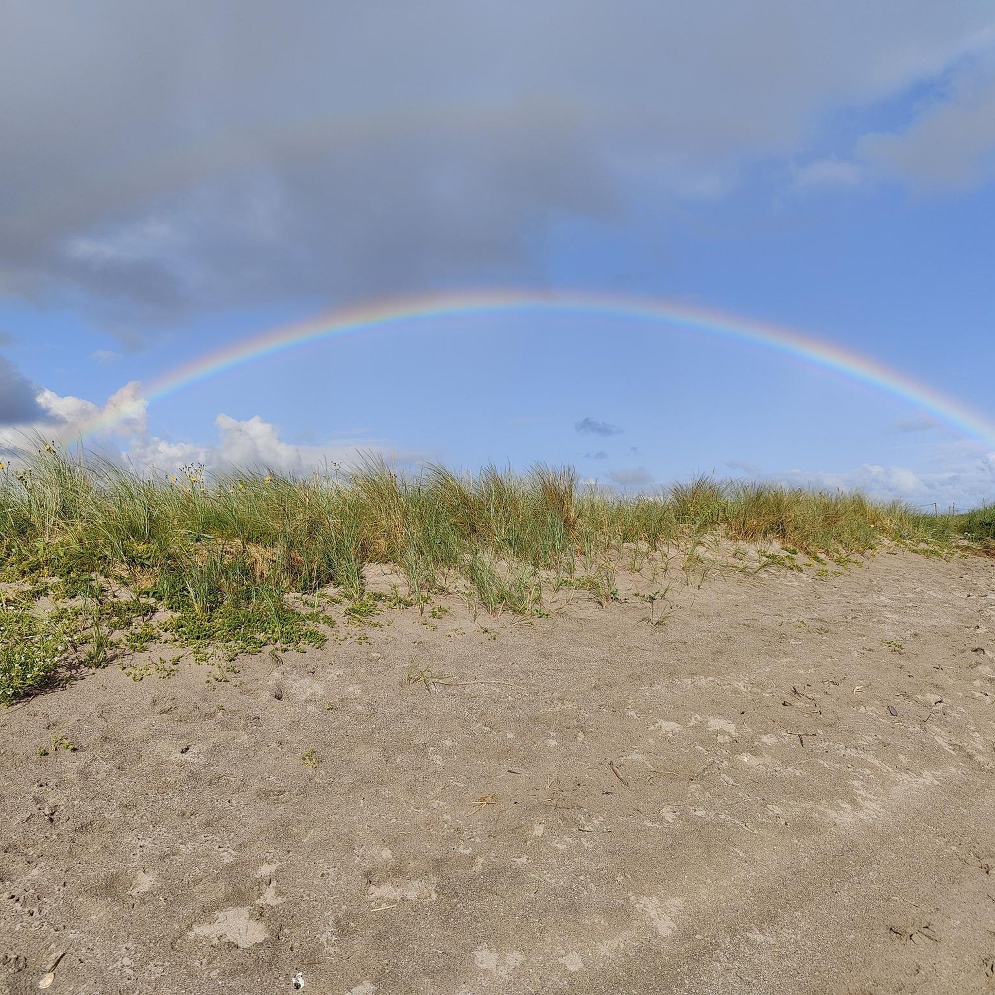
Summit cross – the highest point above the rooftops of Retzstadt. A bit hidden, but a lovely place to take a break. ☺️
0
0

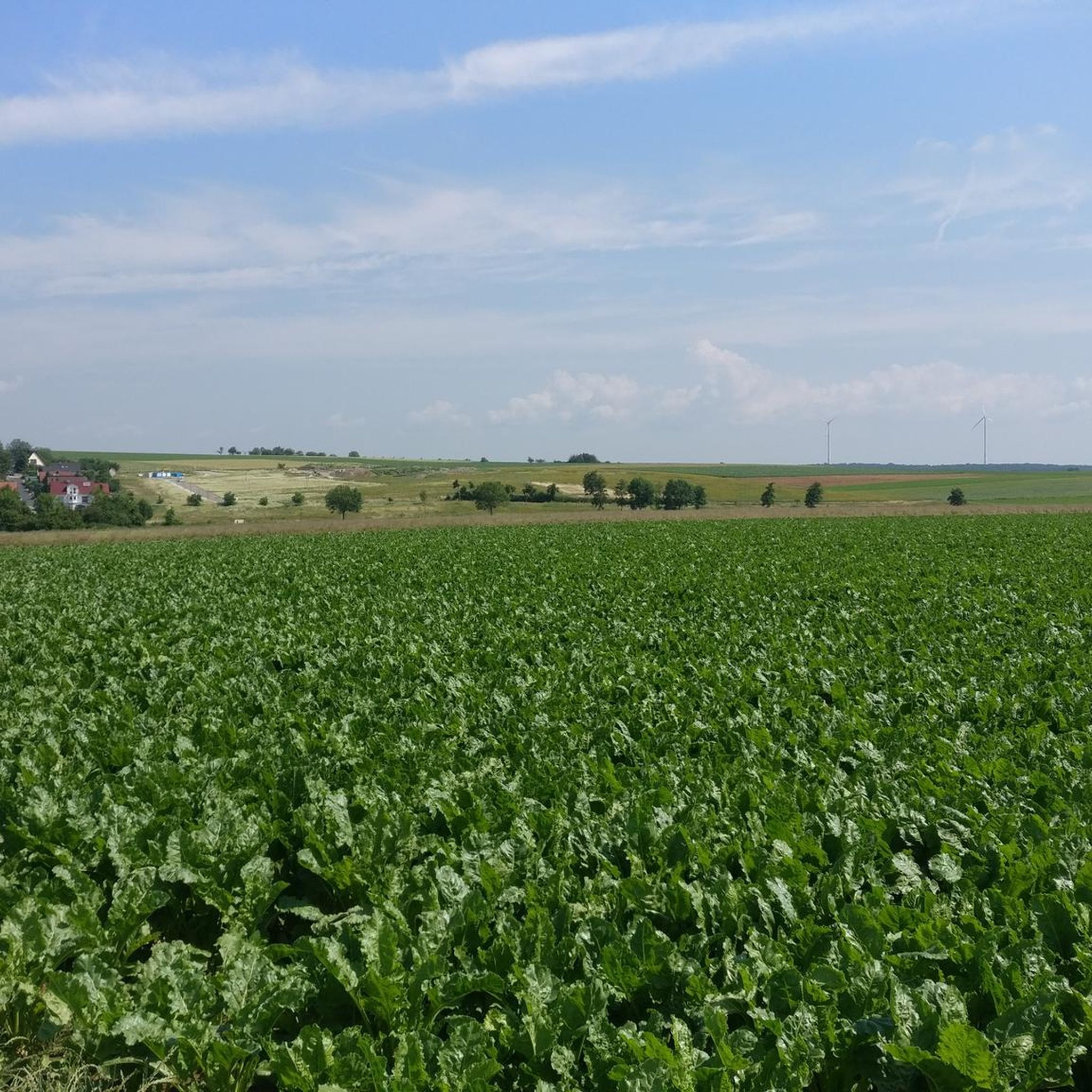
Beautiful view of the many wind turbines 🥰
0
0

A great view here
2
0

Highest point in the Würzburg district. Orientation stone showing which town is in which direction.
0
0

Very nice surroundings The view is also beautiful, worth it
2
0

At the highest point
2
1

Frequently Asked Questions
What kind of elevated areas can I expect around Hausen bei Würzburg?
While Hausen bei Würzburg doesn't feature towering mountain peaks in the traditional sense, the region offers picturesque hilly landscapes and significant elevations ideal for hiking and scenic views. You'll find prominent hills, vineyard trails, and elevated forest areas, particularly within the adjacent Gramschatzer Wald.
Which elevated points offer the best panoramic views around Hausen bei Würzburg?
For expansive views, consider the Breitfeldhöhe Summit and Panoramic Viewpoint, which at 387 meters, is the highest elevation in the Maindreieck and provides wide panoramas of Spessart, Rhön, and Steigerwald. The Luisenhöhe Summit Cross also offers a fantastic 360-degree view over the Mainbogen towards the Steigerwald, Haßberge, and Rhön.
Are there family-friendly options for exploring the elevated areas?
Yes, many of the elevated areas and trails are suitable for families. Highlights like the Steinhöhe Summit Cross, Luisenhöhe Summit Cross, and Breitfeldhöhe Summit and Panoramic Viewpoint are categorized as family-friendly. The Gramschatzer Wald also features a forest adventure center and a barefoot path, offering engaging activities for all ages.
What are the highest points in the immediate vicinity of Hausen bei Würzburg?
Within the immediate area, the Breitfeldhöhe Summit and Panoramic Viewpoint stands out at 387 meters. The Steinhöhe Summit Cross reaches 382 meters, and the Sternberg within the Gramschatzer Wald is 374 meters. For the wider Würzburg district, the Rainberg is the highest at 403 meters.
Can I find hiking trails near these elevated areas?
Absolutely. The region, especially the adjacent Gramschatzer Wald, is known for its extensive network of hiking trails, including 16 marked circular trails. You can find numerous routes for various skill levels. For more detailed hiking options, explore the Hiking around Hausen bei Würzburg guide.
Are there specific trails recommended for beginners or easy walks?
Yes, there are several easy hiking routes suitable for beginners. For example, the 'Pleichach Spring loop from Hausen bei Würzburg' is an easy 4.7 km walk. The Gramschatzer Wald also offers many gentle paths through dense deciduous forests. You can find more easy options in the Hiking around Hausen bei Würzburg guide.
What natural attractions are there besides the elevated points themselves?
The primary natural attraction is the Gramschatzer Wald, a large forest area with dense deciduous forests, nature trails, and diverse flora and fauna. The region also features beautiful vineyard trails that offer scenic walks and views of the surrounding countryside, including the Main River valley.
Where can I find refreshments or places to rest near the peaks?
The Gramschatzer Wald features the Waldhaus Einsiedel, a popular stop for hikers. Additionally, the region's vineyard trails often lead to local eateries known as 'Bergwirtschaft' (mountain taverns), where you can rest and enjoy local cuisine. Some highlights, like the Luisenhöhe Summit Cross, also have rest areas with benches.
What do komoot users particularly enjoy about the peaks around Hausen bei Würzburg?
Komoot users frequently highlight the wonderful panoramic views, especially from spots like the Luisenhöhe Summit Cross and Breitfeldhöhe Summit and Panoramic Viewpoint. They appreciate the peaceful atmosphere, the opportunity for breaks at scenic spots, and the diverse trails suitable for various activities, including cycling and mountain biking.
Are there opportunities for cycling or mountain biking near these elevated areas?
Yes, the region offers extensive networks for both cycling and mountain biking. The Gramschatzer Wald has numerous trails suitable for bikes. You can explore routes like 'Einsiedel Beer Garden – Maidbronner Forest Singletrail loop' for MTB or 'Fish Ponds – Ochsengrund Barrier loop' for touring bicycles. For more options, check the Cycling around Hausen bei Würzburg guide and the MTB Trails around Hausen bei Würzburg guide.
What is the <strong><a href="https://www.komoot.com/highlight/934238" target="_blank" rel="noopener">Steinhöhe Summit Cross</a></strong> known for?
The Steinhöhe Summit Cross is one of the highest elevations on the eastern slopes of the Main valley north of Würzburg, reaching 382 meters. Its highest point is marked by a group of wind wheels, and it offers a pleasant spot for a break with views.
Is there a specific highlight that is considered the highest point near Retzbach?
Yes, the Breitfeldhöhe – Highest Point Near Retzbach is recognized for offering great views in all directions from its elevated position, making it a popular spot for panoramic vistas of beautiful Franconia.
Most popular routes around Hausen bei Würzburg
Most popular attractions around Hausen bei Würzburg

Get inspired with the komoot mobile app


Explore more
See even more amazing summits around Hausen bei Würzburg with these guides:
