The 6 Most Amazing Peaks around Zell am Main
Best mountain peaks around Zell am Main offer diverse elevations and panoramic views across the Main valley. This region, situated north of Würzburg, features the highest elevations in the Maindreieck, providing vistas of Spessart, Rhön, and Steigerwald. The landscape is characterized by its rolling hills and river valleys, making it suitable for various outdoor activities. Visitors can explore a network of trails leading to summits that provide expansive views of the surrounding Franconian countryside.
Best mountain peaks around Zell am…
Last updated: July 10, 2026
Steinhöhe Summit Cross
Highlight • Summit
Translated by Google •
Tip by

Zeller Waldspitze
Highlight • Forest
Translated by Google •
Tip by

Sign up now to discover places like this
Get recommendations on the best single tracks, peaks, & plenty of other exciting outdoor places.
Sign up for free
Breitfeldhöhe Summit and Panoramic Viewpoint
Highlight • Summit
Translated by Google •
Tip by

Breitfeldhöhe – Highest Point Near Retzbach
Highlight • Summit
Translated by Google •
Tip by
Harvester Spur
Highlight (Segment) • Summit
Translated by Google •
Tip by

Start today with a free account
Your next adventure awaits.
Login or Signup
Tips from the Community

Beautiful singletrack trails, perfect for a relaxed run! And of course, it's wonderful to find a shelter to take a short break in the rain... ;-)
0
0

Summit cross – the highest point above the rooftops of Retzstadt. A bit hidden, but a lovely place to take a break. ☺️
0
0

Beautiful view of the many wind turbines 🥰
0
0

A great view here
2
0


Highest point in the Würzburg district. Orientation stone showing which town is in which direction.
0
0

Very nice surroundings The view is also beautiful, worth it
2
0
Frequently Asked Questions
What are the most popular mountain peaks around Zell am Main?
The most popular peaks in the Zell am Main area include Steinhöhe Summit Cross, which offers a resting spot at 382 m, and Breitfeldhöhe Summit and Panoramic Viewpoint, the highest point in the Maindreieck at 387 m with wide panoramas. Another highly regarded spot is Breitfeldhöhe – Highest Point Near Retzbach, known for its great all-round views of Franconia.
What kind of views can I expect from the peaks around Zell am Main?
From peaks like the Breitfeldhöhe Summit and Panoramic Viewpoint, you can expect wide panoramas encompassing the Spessart, Rhön, and Steigerwald regions. The Breitfeldhöhe – Highest Point Near Retzbach also offers extensive views in all directions across Franconia.
Are there family-friendly mountain peaks or hikes in Zell am Main?
Yes, several peaks and trails around Zell am Main are considered family-friendly. Both the Steinhöhe Summit Cross and the Breitfeldhöhe Summit and Panoramic Viewpoint are categorized as family-friendly. The region generally offers a variety of spots with scenic outlooks suitable for families.
What are the elevations of the mountain peaks in Zell am Main?
The peaks around Zell am Main are characterized by their moderate elevations. For instance, the Steinhöhe Summit Cross reaches 382 m, while the Breitfeldhöhe Summit and Panoramic Viewpoint is the highest point in the Maindreieck at 387 m.
What natural features define the landscape around Zell am Main's peaks?
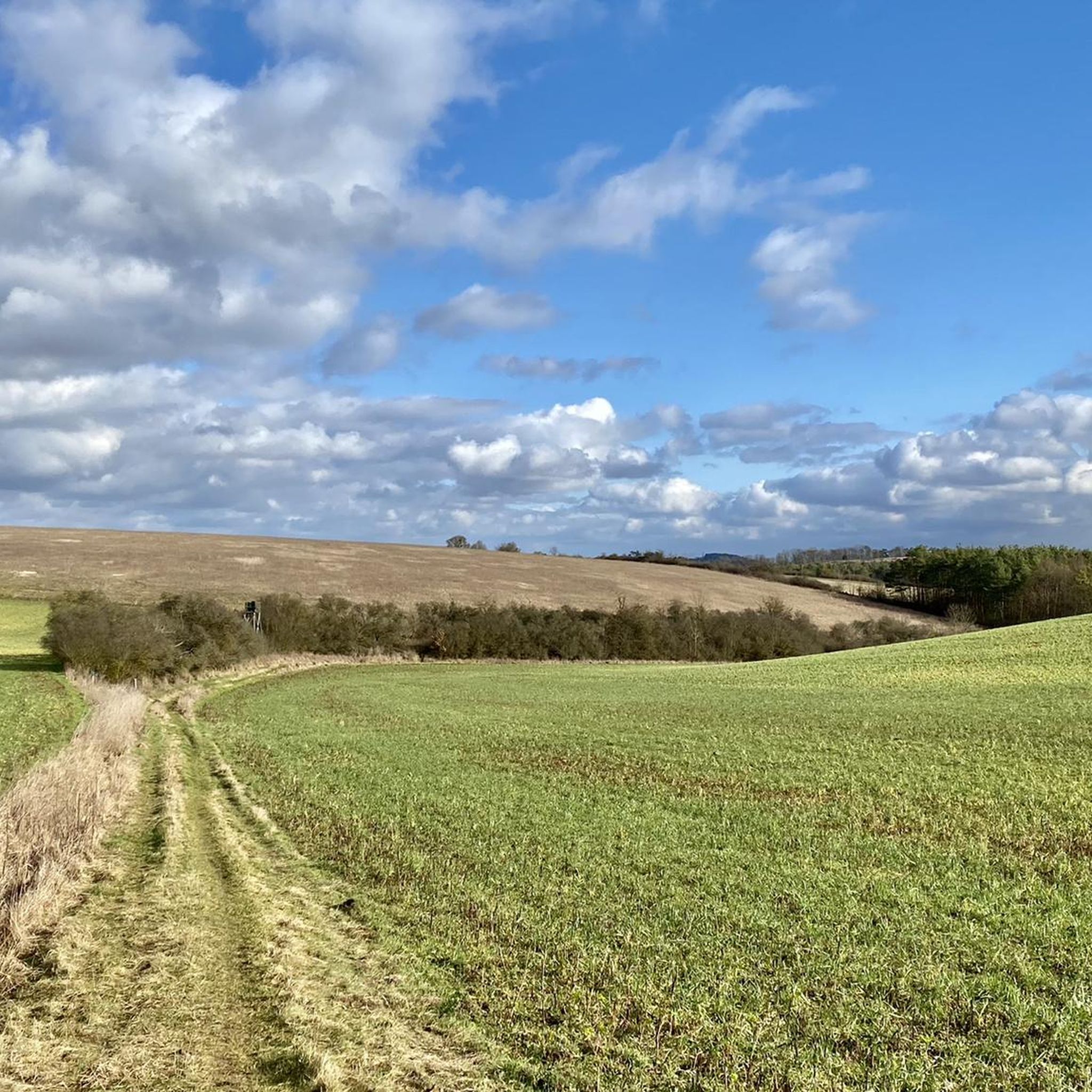
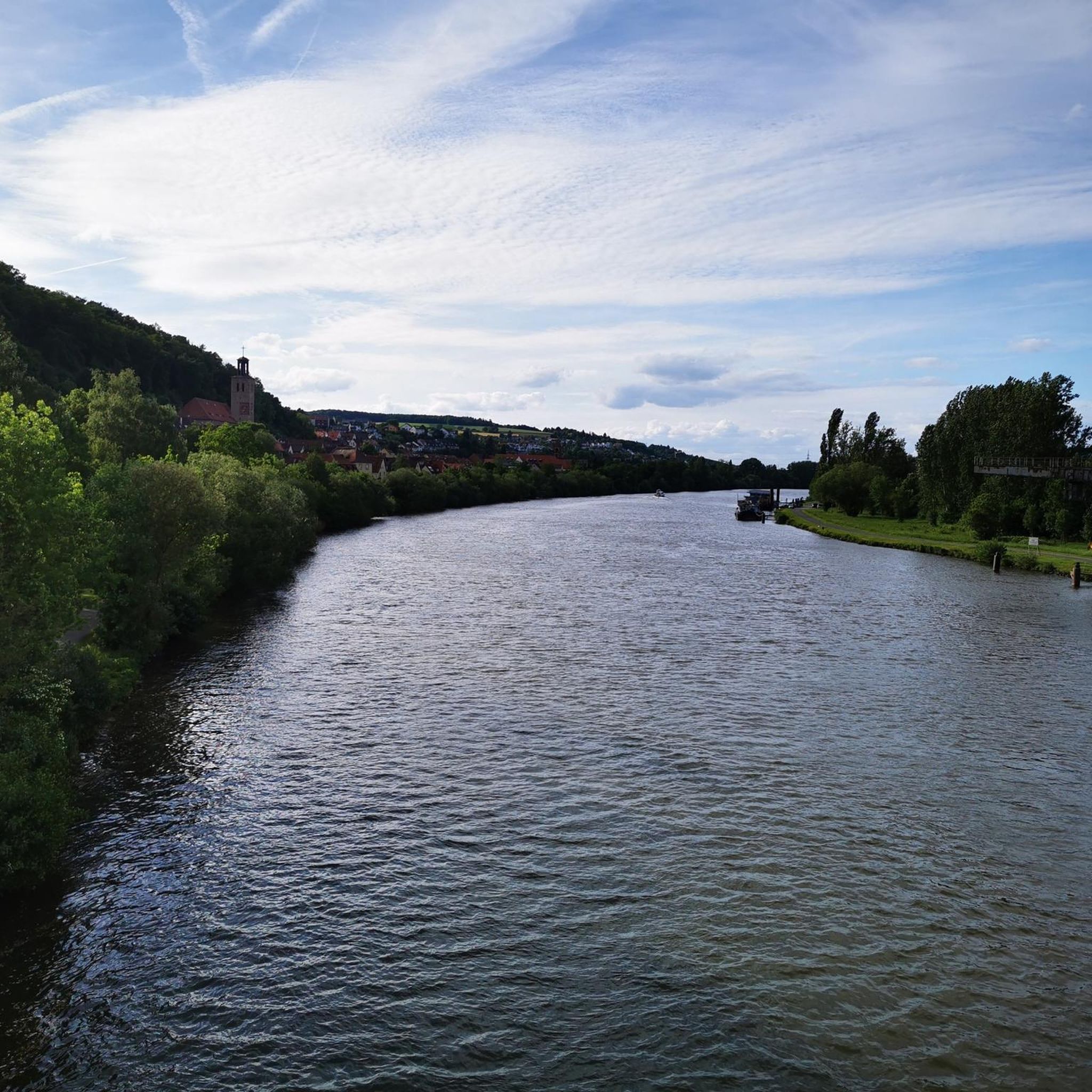
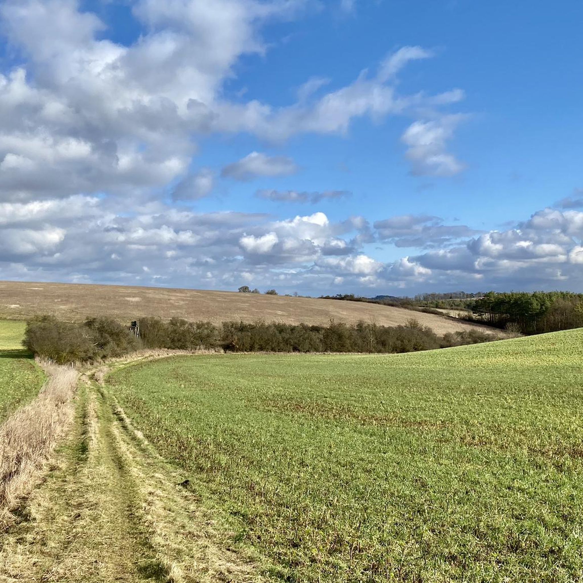
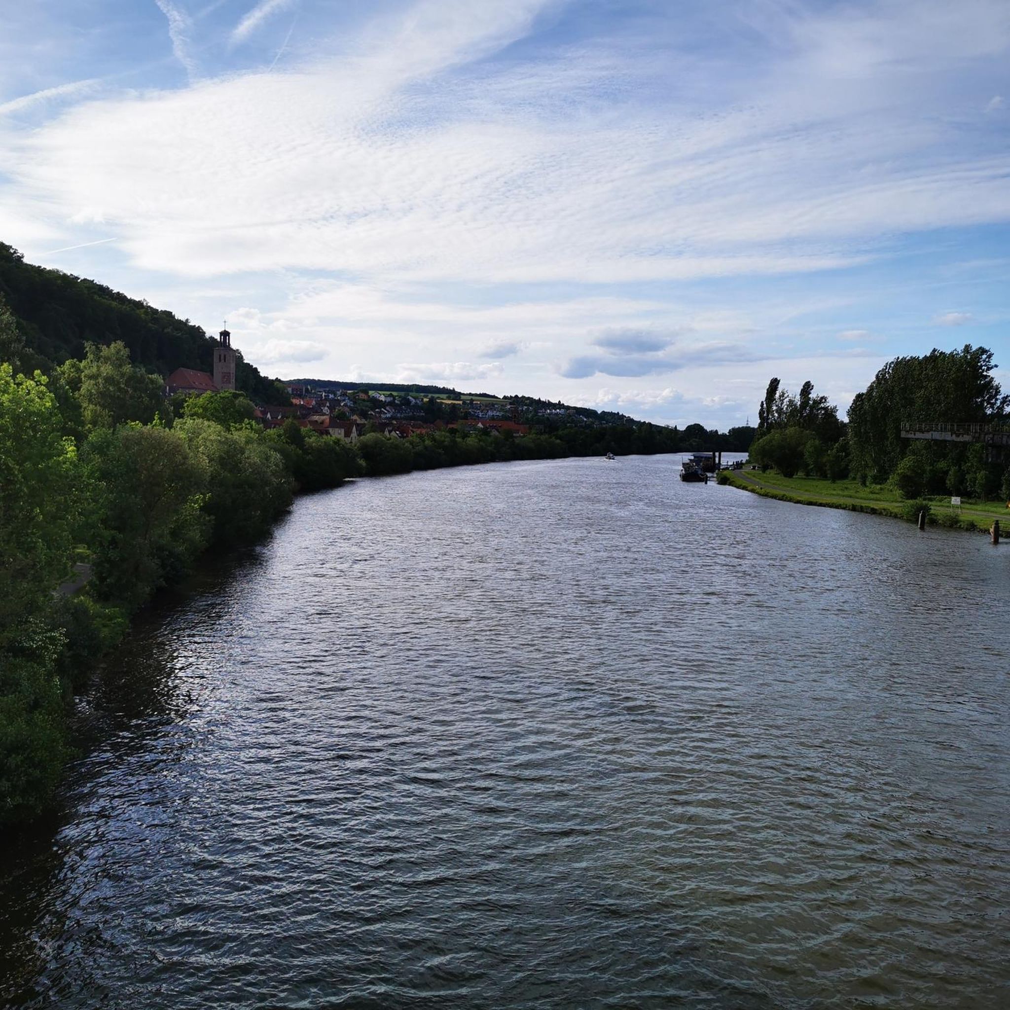
The landscape around Zell am Main is characterized by rolling hills and river valleys, offering diverse elevations and panoramic views across the Main valley. The region is situated north of Würzburg and provides vistas of Spessart, Rhön, and Steigerwald from its higher points.
What outdoor activities can I do near these mountain peaks?
Near the peaks of Zell am Main, you can enjoy a variety of outdoor activities. There are numerous easy hikes, such as the 'Zeller Berg – Rosenbaum Sukkah loop' or the 'Insect Hotel Hohe Klinge loop'. For cycling enthusiasts, there are options for gravel biking and mountain biking, including routes like the 'Etzburg Trail – Volkenberg Flow Trail loop'. You can find more details on these activities in the easy hikes guide, gravel biking guide, and MTB trails guide for the area.
Are there hiking trails near the mountain peaks of Zell am Main?
Yes, there is a network of hiking trails leading to and around the peaks. For example, you can explore easy routes like the 'Zeller Berg loop' or the 'Rosenbaum Sukkah – Pathway Along the Canal loop'. These trails offer opportunities to experience the Franconian countryside. More hiking options are available in the easy hikes around Zell am Main guide.
What do visitors enjoy most about the peaks around Zell am Main?
Visitors appreciate the panoramic views, especially from spots like the Breitfeldhöhe Summit and Panoramic Viewpoint, which offers vistas of Spessart, Rhön, and Steigerwald. The peaceful atmosphere and opportunities for a break, such as at the Steinhöhe Summit Cross, are also highly valued. The region's peaks are well-regarded by the komoot community, with over 120 upvotes and more than 40 photos shared.
Are there any challenging mountain climbs in Zell am Main?
While many peaks are intermediate or family-friendly, there are some more challenging options. For instance, the Harvester Spur is categorized as challenging, offering singletrack trails. However, it's noted that this specific highlight might not be recommended for all on foot or by mountain bike.
What is the best time to hike the mountains around Zell am Main?
The guide does not specify a 'best time' but the description of rolling hills and river valleys suggests that hiking is enjoyable across multiple seasons. Given the moderate elevations, spring, summer, and autumn would generally be suitable for exploring the trails and enjoying the views.
Can I find landmarks or natural monuments on the trails?
Yes, the region features several landmarks and natural monuments. The Steinhöhe Summit Cross is marked by a group of wind wheels and a summit cross, serving as a distinctive landmark. The Breitfeldhöhe Summit and Panoramic Viewpoint and Breitfeldhöhe – Highest Point Near Retzbach are also considered natural monuments, offering significant viewpoints.
Are there options for easy mountain hikes for beginners in Zell am Main?
Yes, the area around Zell am Main is suitable for beginners. Many of the trails leading to the peaks are described as intermediate or family-friendly. The overall landscape of rolling hills makes it accessible for those new to mountain hiking. You can find easy routes in the easy hikes around Zell am Main guide.
Most popular routes around Zell am Main
Most popular attractions around Zell am Main

Get inspired with the komoot mobile app


Explore more
See even more amazing summits around Zell am Main with these guides:
