The 3 Most Amazing Peaks around Vettweiß
Mountain peaks around Vettweiß are characterized by their modest elevations within the Zülpicher Börde and Voreifel regions. The municipality of Vettweiß features a landscape of hills and gentle rises, with the highest point reaching 231 meters above sea level. This area offers elevated viewpoints and scenic spots rather than prominent mountain peaks. The Vettweiß terrain offers various opportunities for exploring its natural landscape.
Best mountain peaks around Vettweiß
- The most popular mountain peaks is Krawutschketurm on Burgberg, a viewpoint…
Last updated: June 26, 2026
Krawutschketurm on Burgberg
Highlight • Viewpoint
Translated by Google •
Tip by

Summit Cross on Hochkoppel
Highlight • Summit
Translated by Google •
Tip by

Sign up now to discover places like this
Get recommendations on the best single tracks, peaks, & plenty of other exciting outdoor places.
Sign up for free
Summit Cross on the Rurtal Viewpoint
Highlight • Summit
Translated by Google •
Tip by

Cross on the Hemelsberg
Highlight • Monument
Translated by Google •
Tip by

Start today with a free account
Your next adventure awaits.
Login or Signup
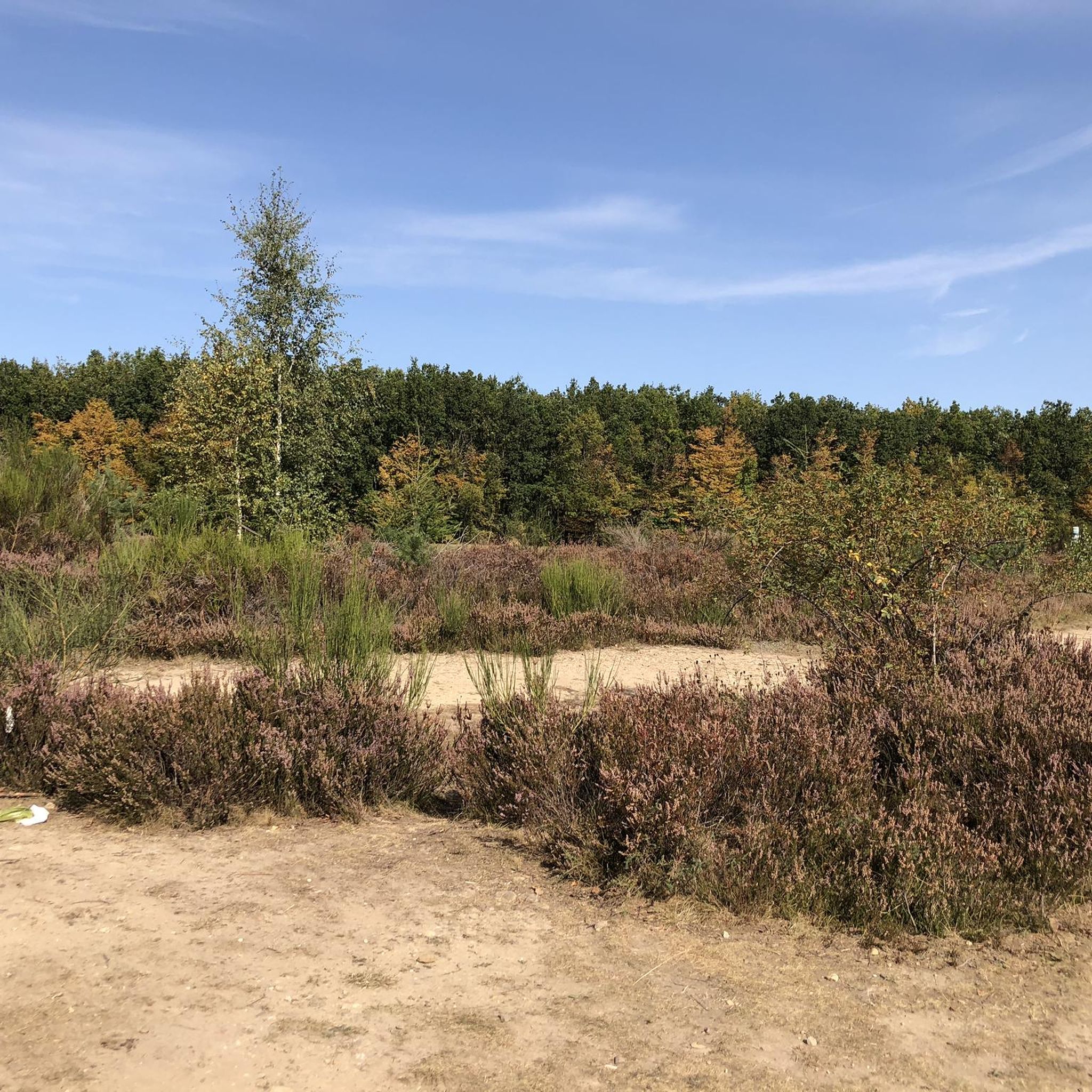
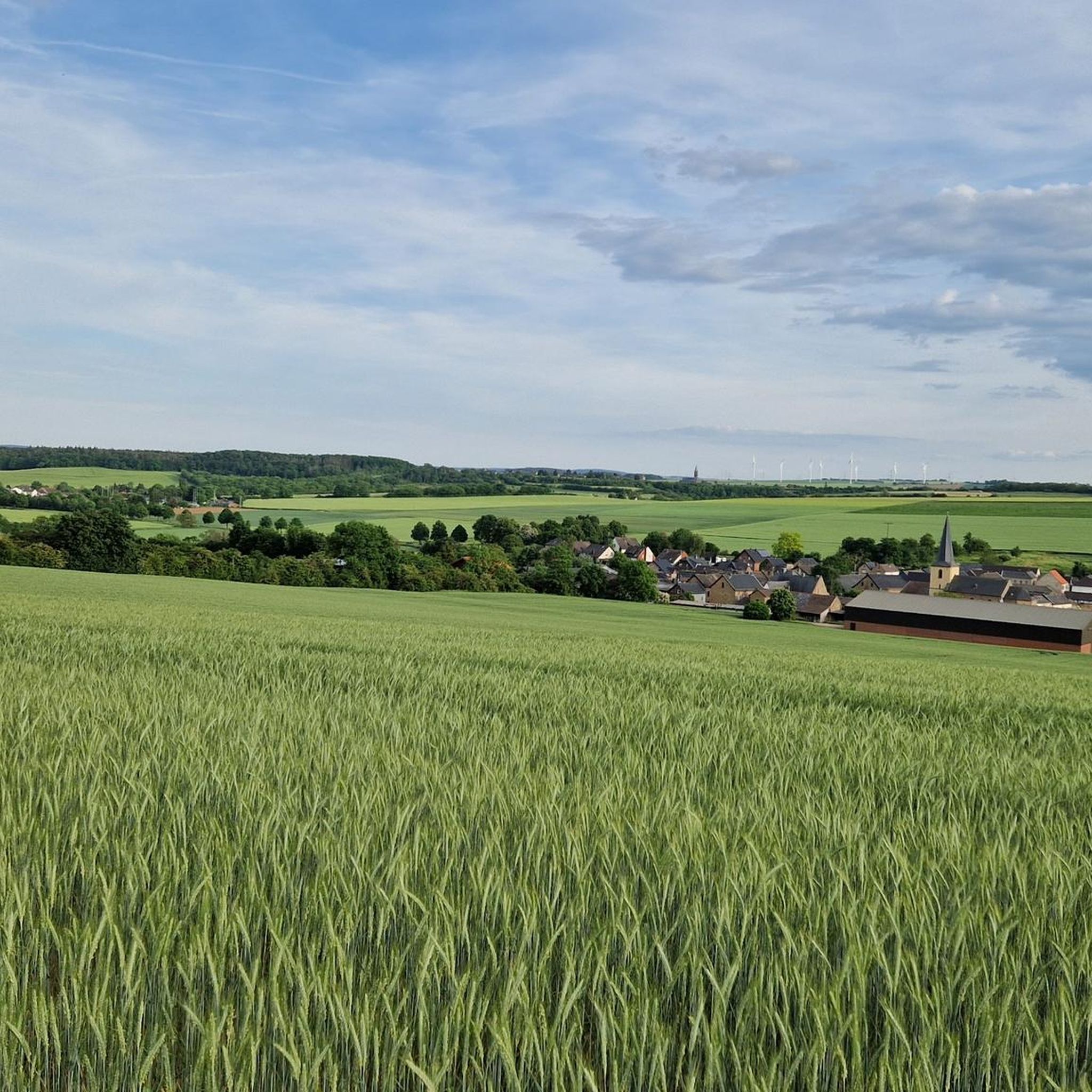
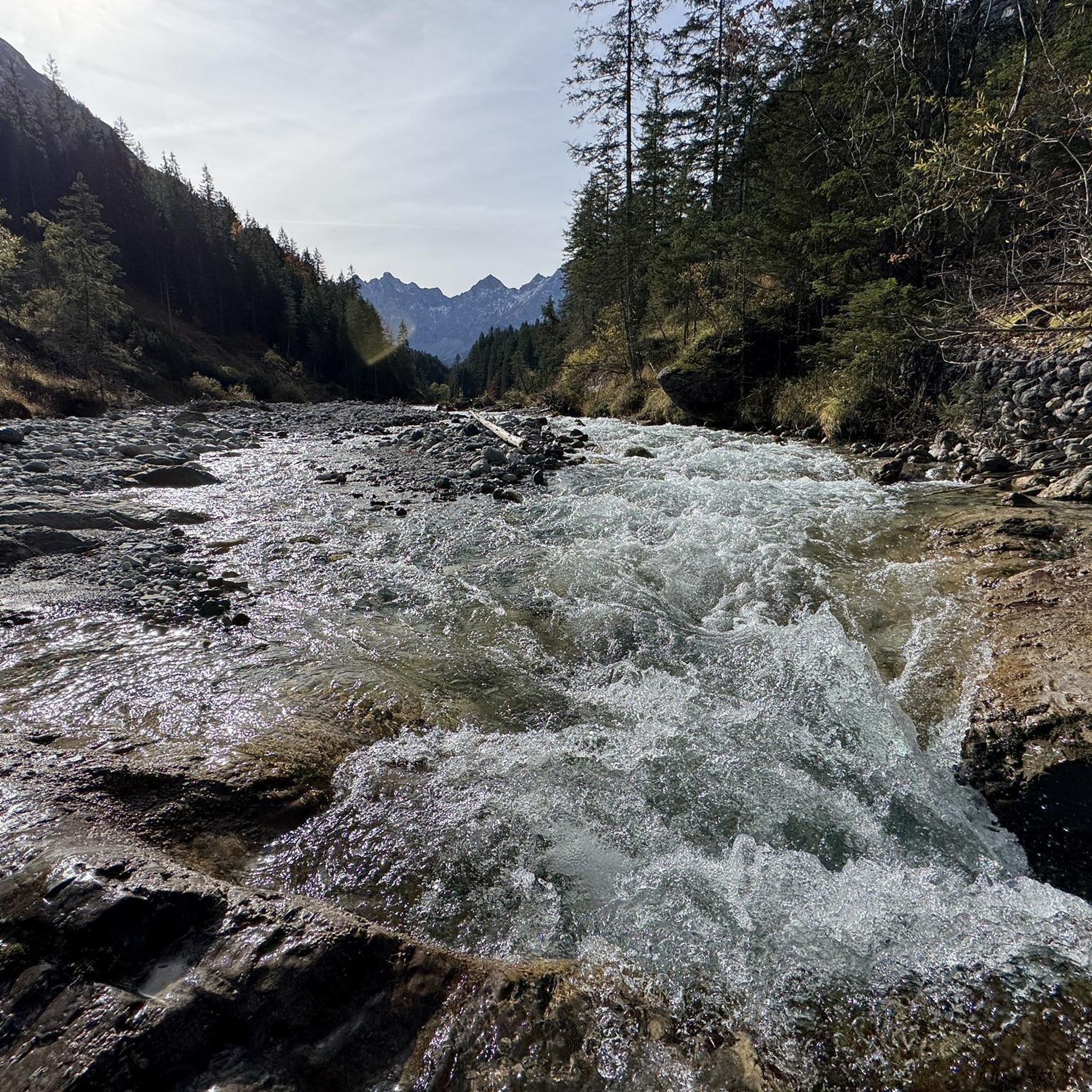
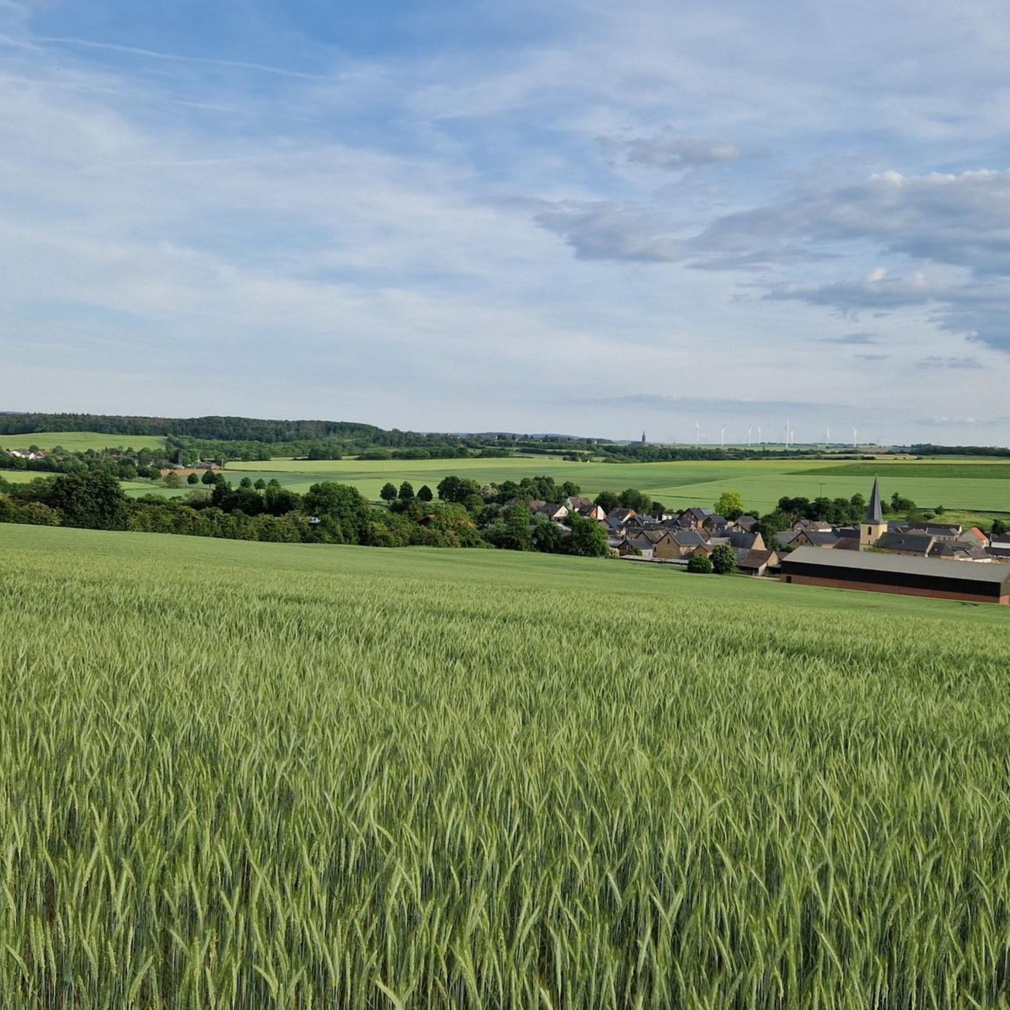
Tips from the Community

This is a protected area and access to the cross via the indicated path is not permitted.
0
0

The cross sits on a sandstone cliff and is visible from the road
1
0
One of the many beautiful viewpoints in the Rur-Eifel. Here provided with a summit cross.
2
0

"... From the "Krawutschke Tower", named after the Eifel hiker Franz Krawutschke, there is a breathtaking view over the Eifel mountain ranges. From the edge of the car park, the view sweeps over the widening valley of the Rur with the Obermaubach reservoir, over the edge of the Eifel into the Jülich Börde and the Cologne Bay. The forest adventure trail leads past the "Krawutschke Tower". Along a small circular path, the forest adventure trail offers visitors of all ages, as well as explanatory panels, various wooden play equipment and smaller facilities for discovering the local flora and fauna. You can also combine a visit to the Krawutsche Tower with a hike on the "Heinrich-Böll-Weg" [35]. ..." https://www.rureifel-tourismus.de/a-krawutschke-turm
9
0

The "crawl path" that Komoot suggests (from Blens) is not really accessible or overgrown. Unfortunately, I was no longer at the cross: /
4
0

For people who are not afraid of heights. A very nice view awaits you on the top floor.
8
0

Is very hidden. When you have found the rock you can enjoy the view of the Rur valley
5
0

History and description of the Krawutschke tower According to the vernacular, a lookout tower was built on the remains of the former Berenstein Castle on the Burgberg in 1911. In 1934 it was replaced by a new tower, named after the Eifel hiker Franz Krawutschke, named Krawutschketurm and also used as a fire watchtower. It was badly damaged in World War II (1939–1945) and fell victim to a forest fire in 1945. The symbolic laying of the foundation stone for a new lookout tower took place in 1956, but it was only built in 1972 with the same name. It stands a little east-southeast of the mountain peak at a height of 400.5 m and was inaugurated in 1973. With the substructure it is 13 m high. It has three platforms one above the other, each at a distance of 3 m. 76 steps lead to the top platform. The tower's observation deck offers views of the Rureifel landscape. In good visibility conditions, the view also extends to Cologne Cathedral and the Hohe Acht, the highest mountain in the Eifel. Source Wikipedia
9
1
Frequently Asked Questions
What kind of 'peaks' can I expect to find around Vettweiß?
Vettweiß is located in a region with a relatively flat topography, featuring hills and gentle rises rather than prominent mountain peaks. The highest elevation within the municipality is around 231 meters (758 feet). The 'peaks' in this area typically refer to elevated viewpoints or significant hills, often marked by structures like lookout towers or summit crosses, offering scenic views of the surrounding landscape.
Are there any notable viewpoints or summits to visit near Vettweiß?
Yes, you can find several interesting spots. The Krawutschketurm on Burgberg is a popular lookout tower offering phenomenal all-round visibility on clear days. Other notable spots include the Summit Cross on Hochkoppel and the Summit Cross on the Rurtal Viewpoint, both providing unique perspectives of the Rur valley.
What is the best time of year to visit the elevated points around Vettweiß?
The best time to visit is generally during spring, summer, and early autumn when the weather is mild and clear, offering the best visibility for enjoying the views. Winter can also be beautiful, but some paths might be slippery or less accessible, and visibility can be reduced.
Are there family-friendly options for exploring the hills and viewpoints?
Absolutely. The Krawutschketurm on Burgberg is considered family-friendly, offering an accessible experience to a lookout tower with great views. The Cross on the Hemelsberg is also noted as family-friendly.
What kind of natural features can I expect to see from these viewpoints?
From various viewpoints, you can often see expansive forest landscapes, agricultural fields, and river valleys like the Rur valley. For instance, from the Krawutschketurm on Burgberg, you can see the castle Nideggen, the Obermaubach reservoir, and far into the lignite mining area on clear days.
Are there historical or cultural sites associated with these elevated points?
Yes, some of these locations have historical significance. The Krawutschketurm on Burgberg is a historical site, inaugurated in 1934 and named after Franz Krawutschke. The Cross on the Hemelsberg is a religious monument consecrated by the local parish.
What are some popular hiking trails near these elevated points?
There are numerous hiking opportunities in the region. For easy walks, consider routes like the "Drover Heath – Boardwalk Over the Frog Pond loop" or the "Drover Heath – Drover Heide Nature Reserve loop." For more challenging options, you can explore trails mentioned in the Mountain Hikes around Vettweiß guide, such as the "Hausen Village – Rur River in Heimbach loop."
Are there any specific regulations or access restrictions for certain viewpoints?
Yes, for the Summit Cross on Hochkoppel, it's important to note that it is located in a protected area, and access to the cross via the indicated path is not permitted. Always respect local signage and regulations.
Can I find places to eat or drink near the hiking areas around Vettweiß?
While specific cafes or pubs directly at every trailhead might be limited, Vettweiß and nearby villages offer various amenities. It's advisable to check local listings for restaurants, cafes, and pubs in Vettweiß or towns like Nideggen, which are often starting points for longer hikes.
What are the difficulty levels for trails leading to these viewpoints?
The difficulty varies. Some paths leading to viewpoints like the Krawutschketurm on Burgberg or the Cross on the Hemelsberg are considered intermediate and family-friendly. However, routes to spots like the Summit Cross on the Rurtal Viewpoint can be challenging, with some suggested paths being overgrown or difficult to access.
Is public transport available to reach hiking areas around Vettweiß?
Public transport options exist within the Düren district, connecting Vettweiß to surrounding areas. However, direct access to specific trailheads or remote viewpoints might require a combination of public transport and walking, or personal vehicle use. It's recommended to check local bus schedules and routes for specific destinations.
Most popular routes around Vettweiß
Most popular attractions around Vettweiß

Get inspired with the komoot mobile app


Explore more
See even more amazing summits around Vettweiß with these guides:
