The 5 Most Amazing Peaks around Knittlingen
Best mountain peaks around Knittlingen are characterized by rolling hills and forests rather than towering ranges. The highest elevation in Knittlingen reaches approximately 348 meters, with an average elevation of 246 meters. These elevated points offer picturesque views and historical significance. The region provides diverse experiences, from historical exploration to active recreation within a hilly landscape.
Best mountain peaks around Knittlingen
- The most popular mountain peaks is View from Derdinger Horn, a viewpoint that offers a panoramic view over…
Last updated: June 26, 2026
View from Derdinger Horn
Highlight • Viewpoint
Translated by Google •
Tip by

Schlierkopf Summit
Highlight • Summit
Translated by Google •
Tip by
Sign up now to discover places like this
Get recommendations on the best single tracks, peaks, & plenty of other exciting outdoor places.
Sign up for free
Alte Burg Hillfort (379 m)
Highlight • Historical Site
Translated by Google •
Tip by

Trail to Schlierkopf Summit
Highlight • Trail
Translated by Google •
Tip by

Steckhof Hill
Highlight • Summit
Translated by Google •
Tip by

Sign up for free to discover even more peaks around Knittlingen.
Sign up for free
Already have an account?
Start today with a free account
Your next adventure awaits.
Login or Signup
Popular around Knittlingen
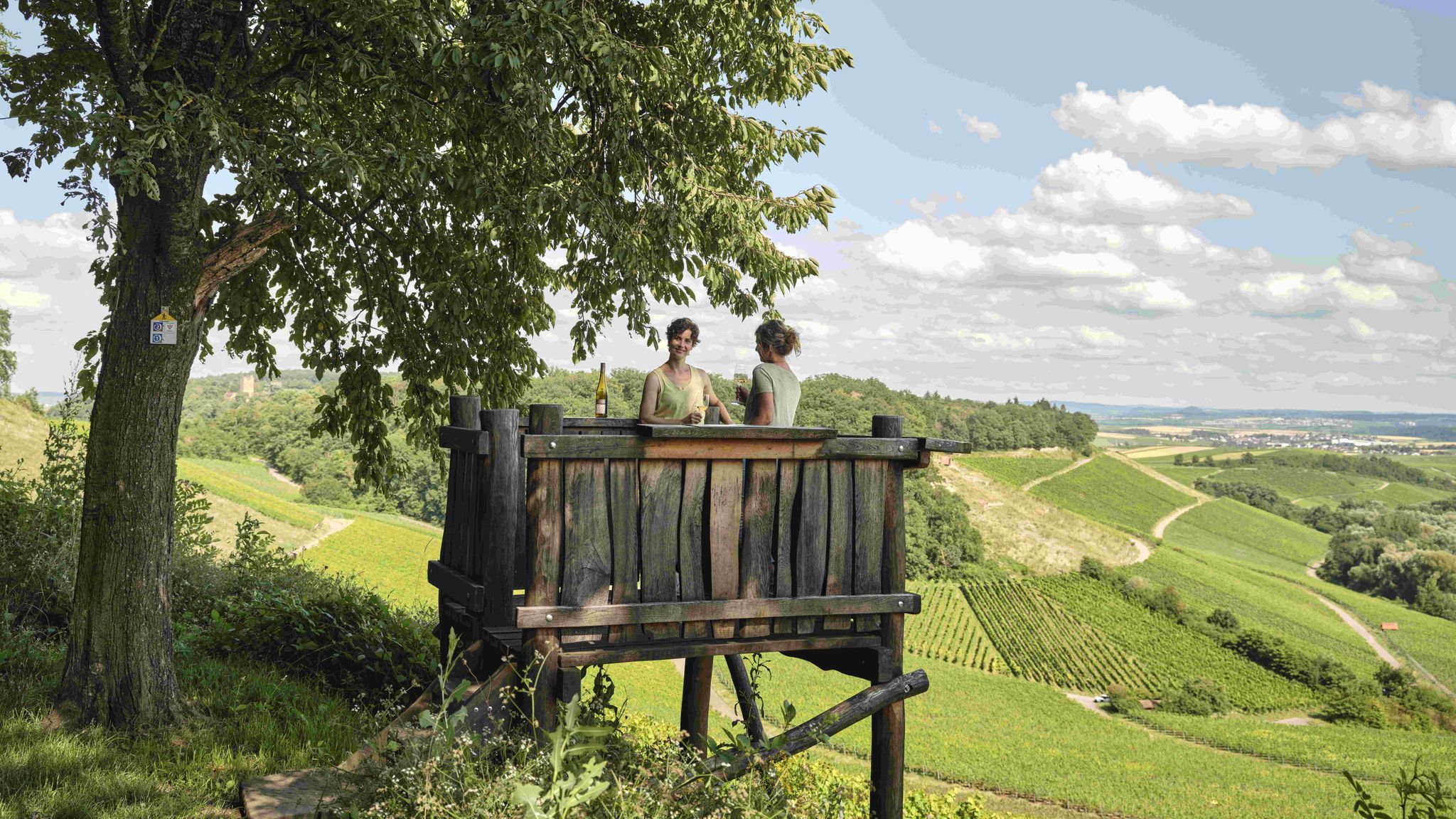
Genusswandern: Auf Wein(wander)wegen durch das Land der 1000 Hügel

Wander3Klänge: Einfach Los Wandern im Naturpark Stromberg-Heuchelberg
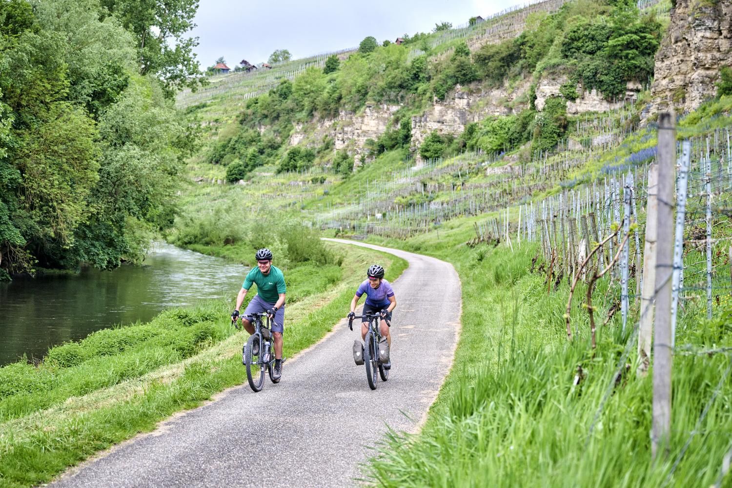
Erfrischend anders: wassernah radeln im Land der 1000 Hügel
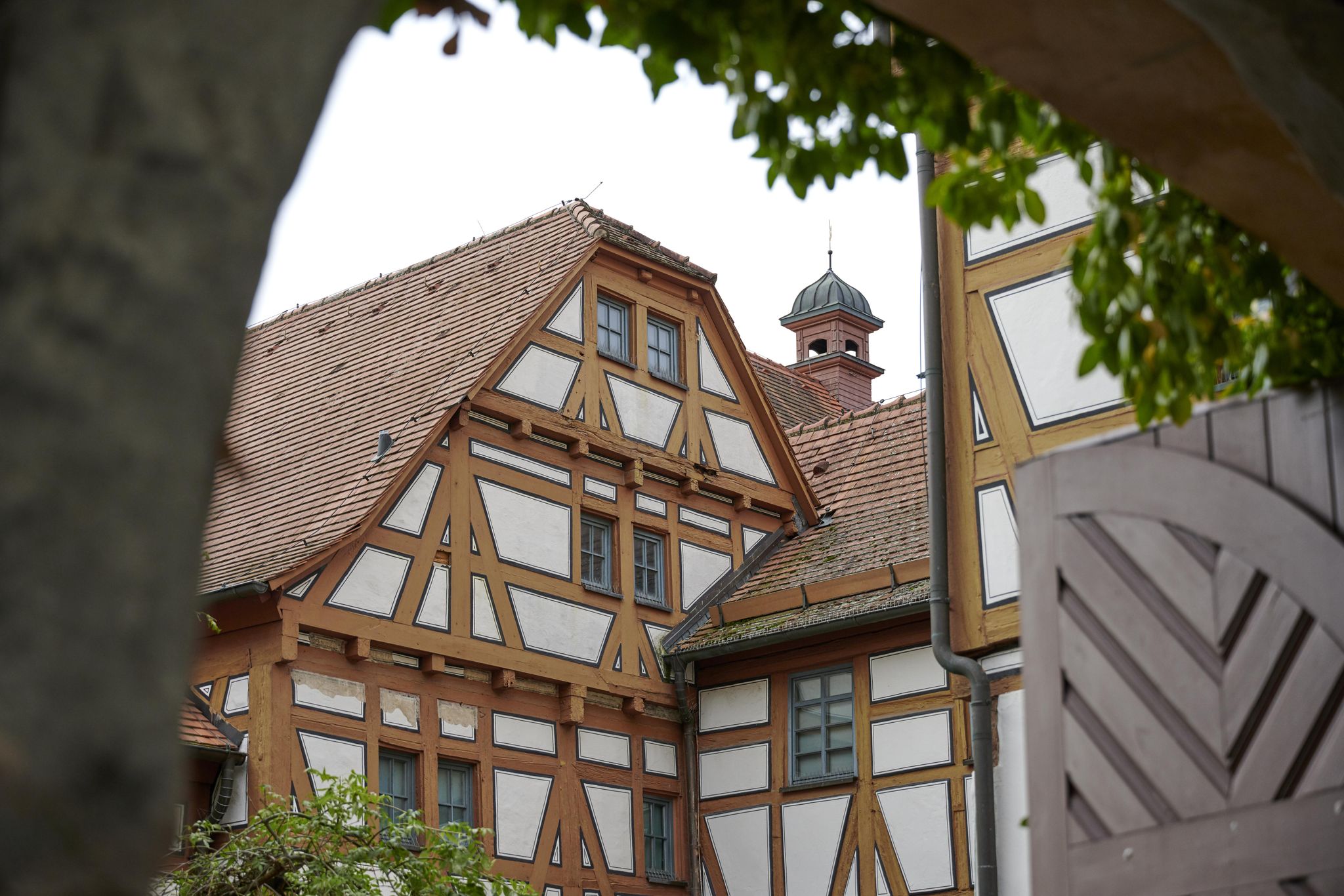
Das Land der 1000 Hügel mit der Buslinie 702 entdecken

Zu Fuß durchs Land der 1000 Hügel
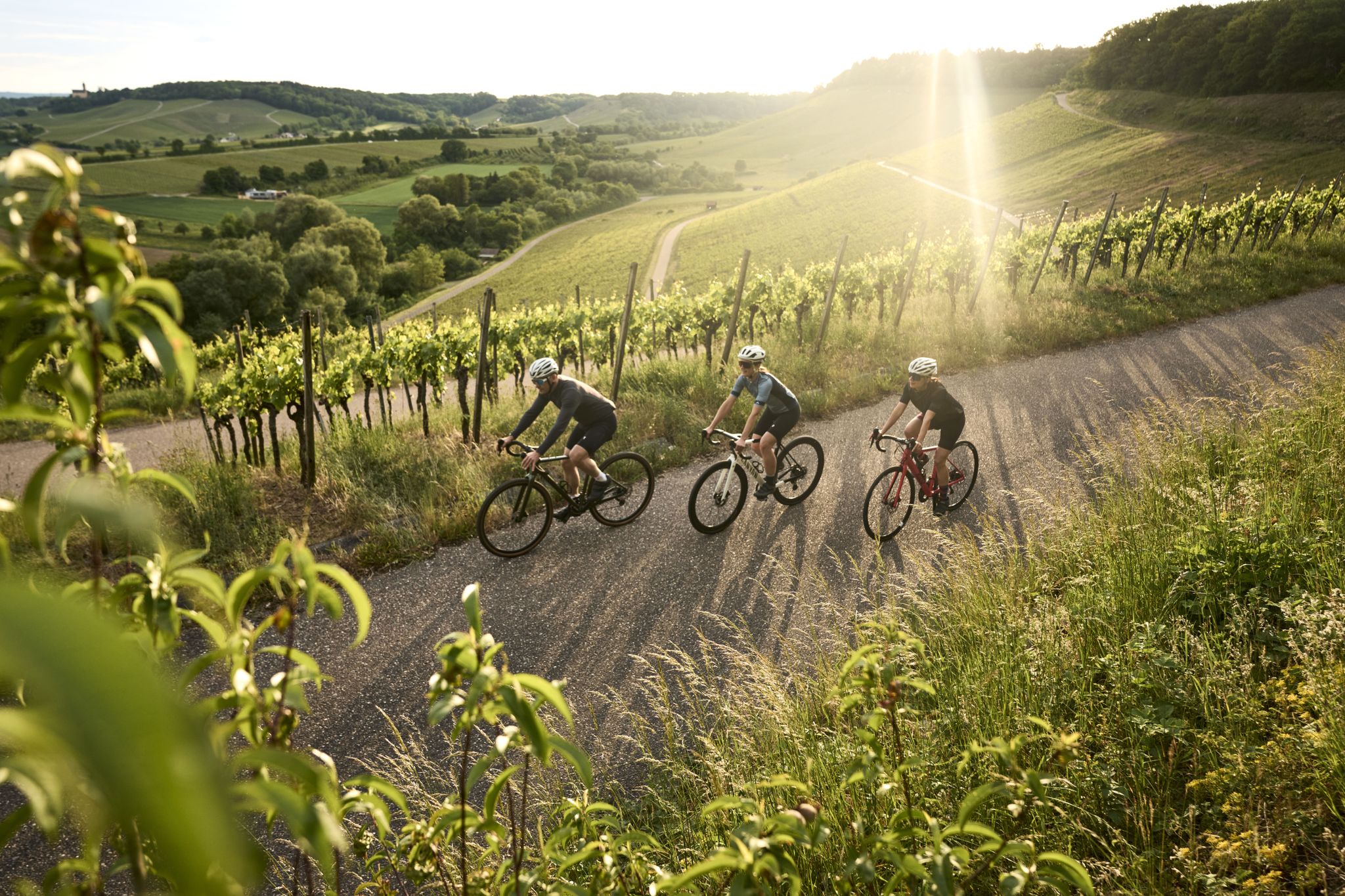
Tritt für Tritt durchs Land der 1000 Hügel
Hiking around Knittlingen
Cycling around Knittlingen
Road Cycling Routes around Knittlingen

Gravel biking around Knittlingen
Other adventures around Knittlingen

Tips from the Community

The Stockhof measured 6m higher with a direct transition to the adjacent Tannenberg
0
0

The "summit" is a must to "tick off"! There are great trails all around in a great area👍. "Seltsamonskis" just tick it off with "annoying constant liking"🤣
4
1

Unfortunately, there is hardly anything to see of the old castle
0
3

The Steckhof is a mountain with 406m on its flank runs the Schanzgraben
4
2
The way to the place of the castle is hardly passable
2
2

Even if nothing can be seen of the former castle, you certainly have a beautiful view in spring or autumn
2
0

When the weather is good, you can see as far as the Odenwald from the viewing platform. A wonderful view over the Kraichgau. You can also find information about viticulture and some break areas with playgrounds here.
8
0

The ascent from the Heiligenbergsee is an unpaved forest path with transverse channels that were probably dug to drain water. There are also many branches on the route, but you can drive over them. The driveway from the other side (from Rennweg) is a little easier to drive on.
2
1
Frequently Asked Questions
What are some of the most prominent elevated points to visit around Knittlingen?
While Knittlingen is known for rolling hills rather than towering mountains, several elevated points offer great experiences. The most popular is the View from Derdinger Horn, a viewpoint offering panoramic views over the Kraichgau. Another must-see is Schlierkopf Summit, featuring a summit cross and part of the Stromberg ridge. For history enthusiasts, Alte Burg Hillfort (379 m) provides a glimpse into a Celtic past.
Are there family-friendly elevated points or viewpoints in the Knittlingen area?
Yes, several spots are suitable for families. The View from Derdinger Horn is categorized as family-friendly, offering an accessible viewing platform. Additionally, the Augenberg Viewpoint is also noted as family-friendly, providing beautiful panoramic views over vineyards with a bench for resting.
What kind of historical sites can I find on the elevated points near Knittlingen?
The Alte Burg Hillfort (379 m) is a significant historical site. Here, you can explore the remains of a Celtic hillfort, with visible trenches and ramparts that reflect almost 3000 years of heritage. The historic town center of Knittlingen itself, situated on a notable hill, also offers a chance to experience rich history with its old town hall and half-timbered houses.
What are the best options for hiking near the elevated points around Knittlingen?
The region offers numerous hiking opportunities. For moderate hikes, consider routes like 'View of Aalkistensee – Aalkistensee loop from Knittlingen-Kleinvillars' or 'View from Derdinger Horn – Stairs to Panorama Trail loop from Weissacher Tal'. For easier walks, 'Rest bench with lake view – Lerchenmühle loop from Knittlingen-Kleinvillars' is a good choice. You can find more details and routes in the Hiking around Knittlingen guide or the Easy hikes around Knittlingen guide.
Are there any challenging hiking routes or advanced trails around Knittlingen's elevated areas?
Yes, for those seeking more challenge, the descent from Schlierkopf Summit to the Katzenbachsee is known for small challenges and a 'high fun factor', especially for mountain bikers. The ascent to Schlierkopf from Rennweg can also be slippery in wet weather, adding to the difficulty. The Alte Burg Hillfort (379 m) is also categorized as challenging.
What kind of views can I expect from the elevated points in Knittlingen?
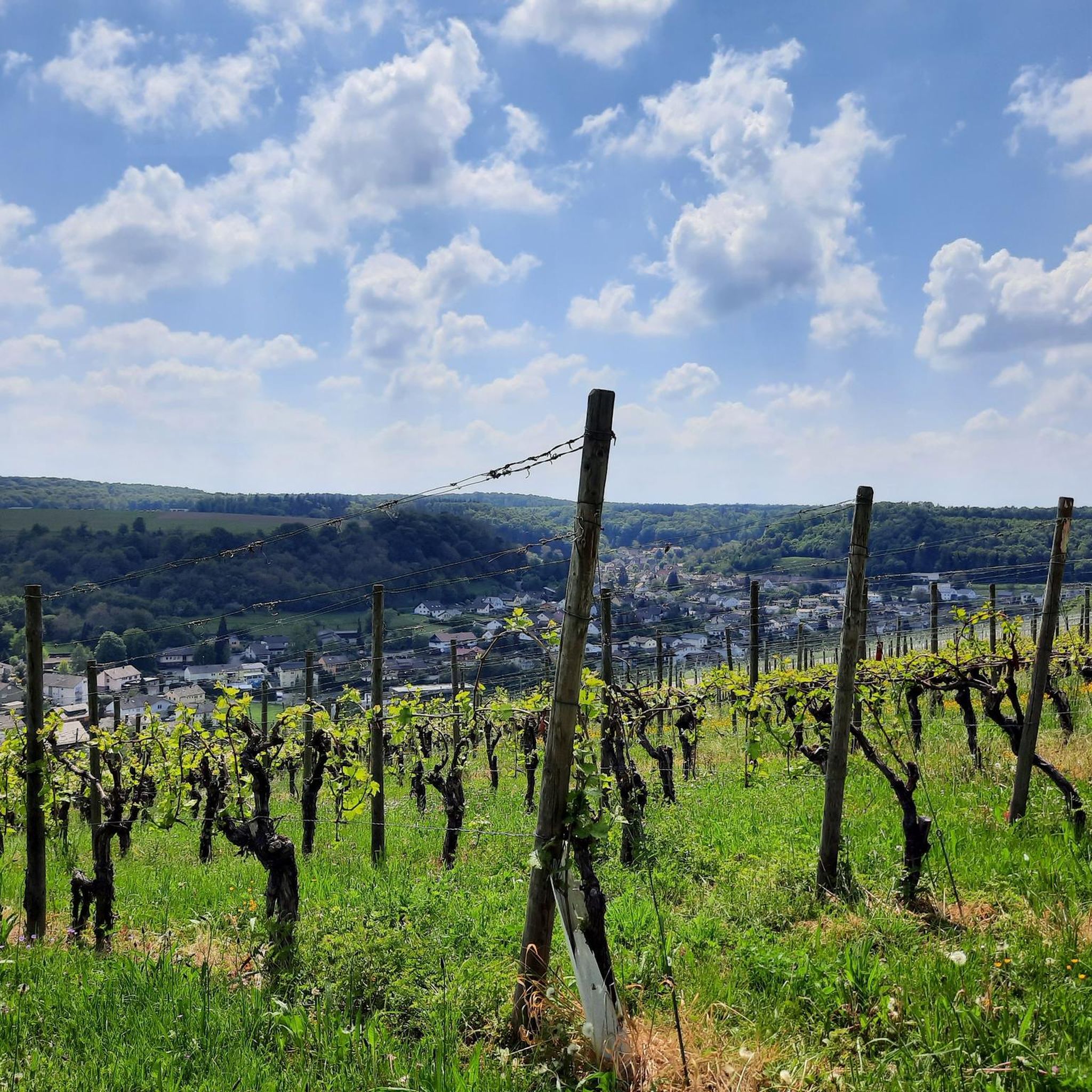
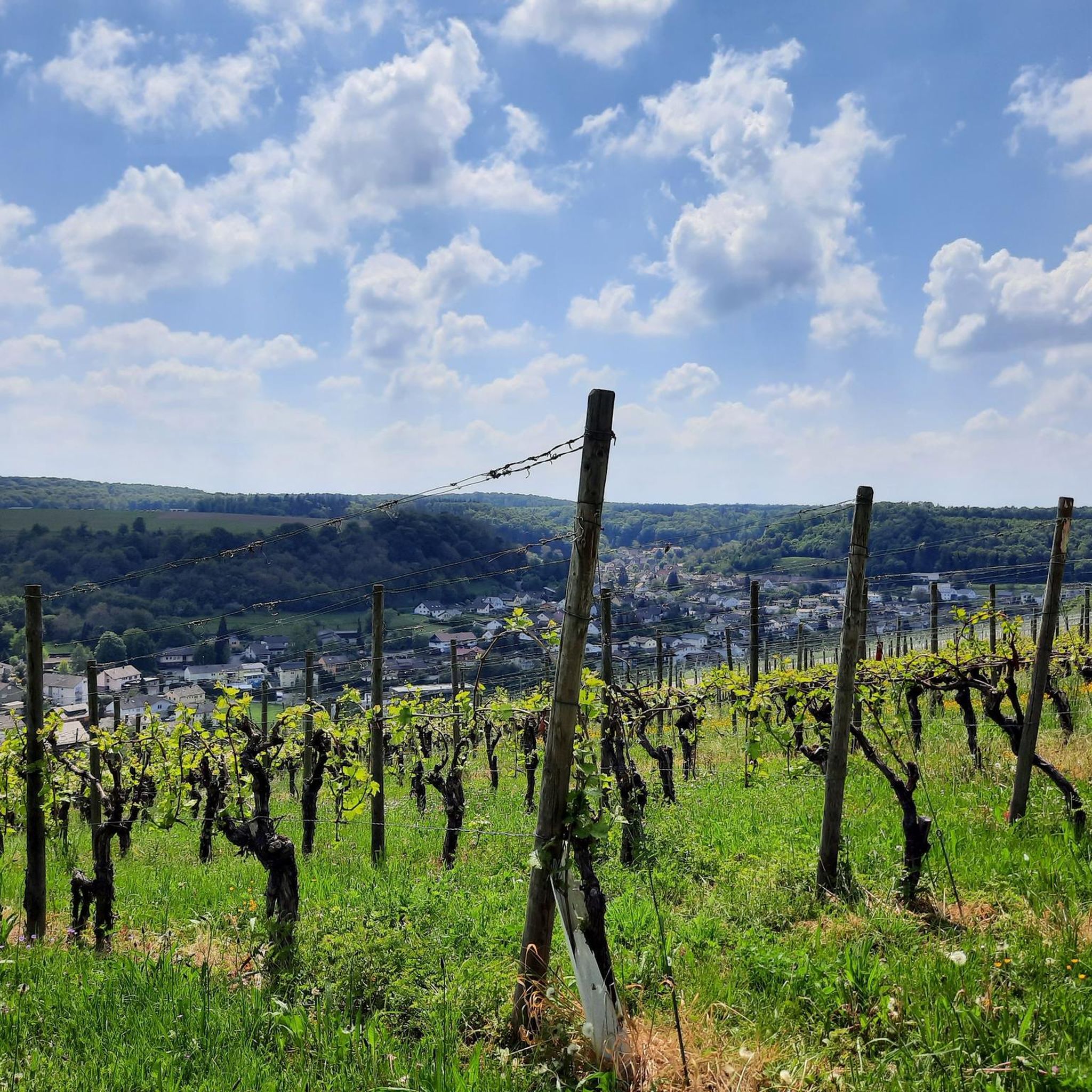
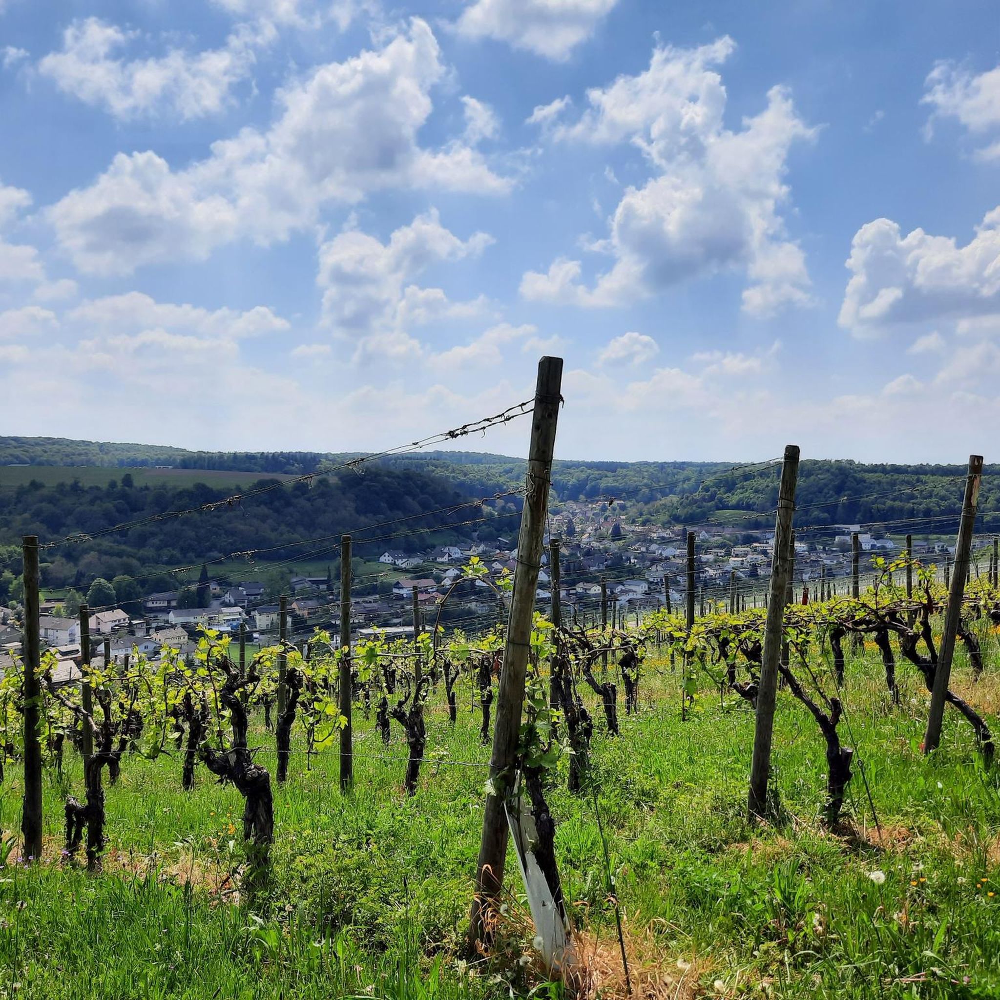
You can expect breathtaking panoramic views of the surrounding Kraichgau landscape, characterized by rolling hills, forests, and vineyards. From the View from Derdinger Horn, you can see the Steinsberg and, with good visibility, even the Katzenbuckel and Königstuhl. The Augenberg Viewpoint offers beautiful vistas over the vineyards, and Steckhof Hill provides nice views from its orchards.
What is the best time of year to visit the elevated points around Knittlingen?
The region's rolling hills and forests are beautiful throughout the year. Spring and autumn offer pleasant temperatures for hiking and vibrant natural colors. Summer is ideal for enjoying the panoramic views, while winter can provide a tranquil, snow-dusted landscape, though some trails might be slippery. Always check local weather conditions before heading out.
Are there opportunities for mountain biking near Knittlingen's elevated areas?
Yes, the hilly terrain around Knittlingen is popular for cycling. The Eichelberg, for instance, is known for mountain biking trails, such as the 'Gondelsheim Castle – Singletrack trails on the Eichelberg loop from Knittlingen-Kleinvillars'. The descent from Schlierkopf Summit to the Katzenbachsee is also noted for its appeal to mountain bikers.
Can I find cafes or pubs near the hiking trails and elevated points in Knittlingen?
Knittlingen and its surrounding villages offer local amenities. While specific cafes directly on every elevated point are rare, you can find places to eat and drink in the nearby towns and villages. The historic town center of Knittlingen itself has establishments where you can relax after exploring the local hills.
What makes the elevated points around Knittlingen unique compared to traditional mountain ranges?
The elevated points around Knittlingen offer a unique blend of picturesque rolling hills, dense forests, and historical significance, rather than the dramatic, towering peaks of traditional mountain ranges. They provide tranquil rural charm, panoramic views of the Kraichgau, and opportunities for both active recreation and historical exploration, making them a paradise for nature lovers seeking an authentic German experience.
What is the highest point in the immediate Knittlingen area?
The highest elevation in the immediate Knittlingen area reaches approximately 348 meters. However, the Schlierkopf Summit, part of the Stromberg ridge, is a notable elevated point reaching 449.6 meters, offering a more significant ascent and a summit cross.
Are there any specific viewpoints that offer particularly good photo opportunities?
Absolutely. The View from Derdinger Horn is highly recommended for its beautiful panoramic views over the Kraichgau and Odenwald. The Augenberg Viewpoint also provides excellent photo opportunities with its scenic views over the vineyards and an orientation stone.
Most popular routes around Knittlingen
Most popular attractions around Knittlingen

Get inspired with the komoot mobile app


Explore more
See even more amazing summits around Knittlingen with these guides:
