The 3 Most Amazing Peaks around Garbsen
Best mountain peaks around Garbsen are found in a region primarily characterized by its flat topography, with an average elevation of approximately 50 meters. While Garbsen itself lacks significant mountains, historical areas like Osterberg and Mühlenberg indicate former elevated terrain. The local landscape includes features such as the sand dunes of Garbsen Switzerland, offering a deviation from the otherwise flat terrain around Garbsen. For those seeking more challenging elevations, the Deister Mountain Range is located beyond Garbsen, providing higher points…
Last updated: June 26, 2026
Benther Berg Summit
Highlight • Summit
Translated by Google •
Tip by

Gauss Stone on Brelinger Hill
Highlight • Monument
Translated by Google •
Tip by

Sign up now to discover places like this
Get recommendations on the best single tracks, peaks, & plenty of other exciting outdoor places.
Sign up for free
Waldberg Empelde
Highlight • Natural Monument
Translated by Google •
Tip by

Stelinger Berg Summit
Highlight • Summit
Translated by Google •
Tip by

Scherenbosteler Höhe
Highlight • Summit
There is a stone triangle and seating at the top.
Translated by Google •
Tip by

Start today with a free account
Your next adventure awaits.
Login or Signup



Tips from the Community

It's great to see something while hiking, I like that sort of thing.
0
0


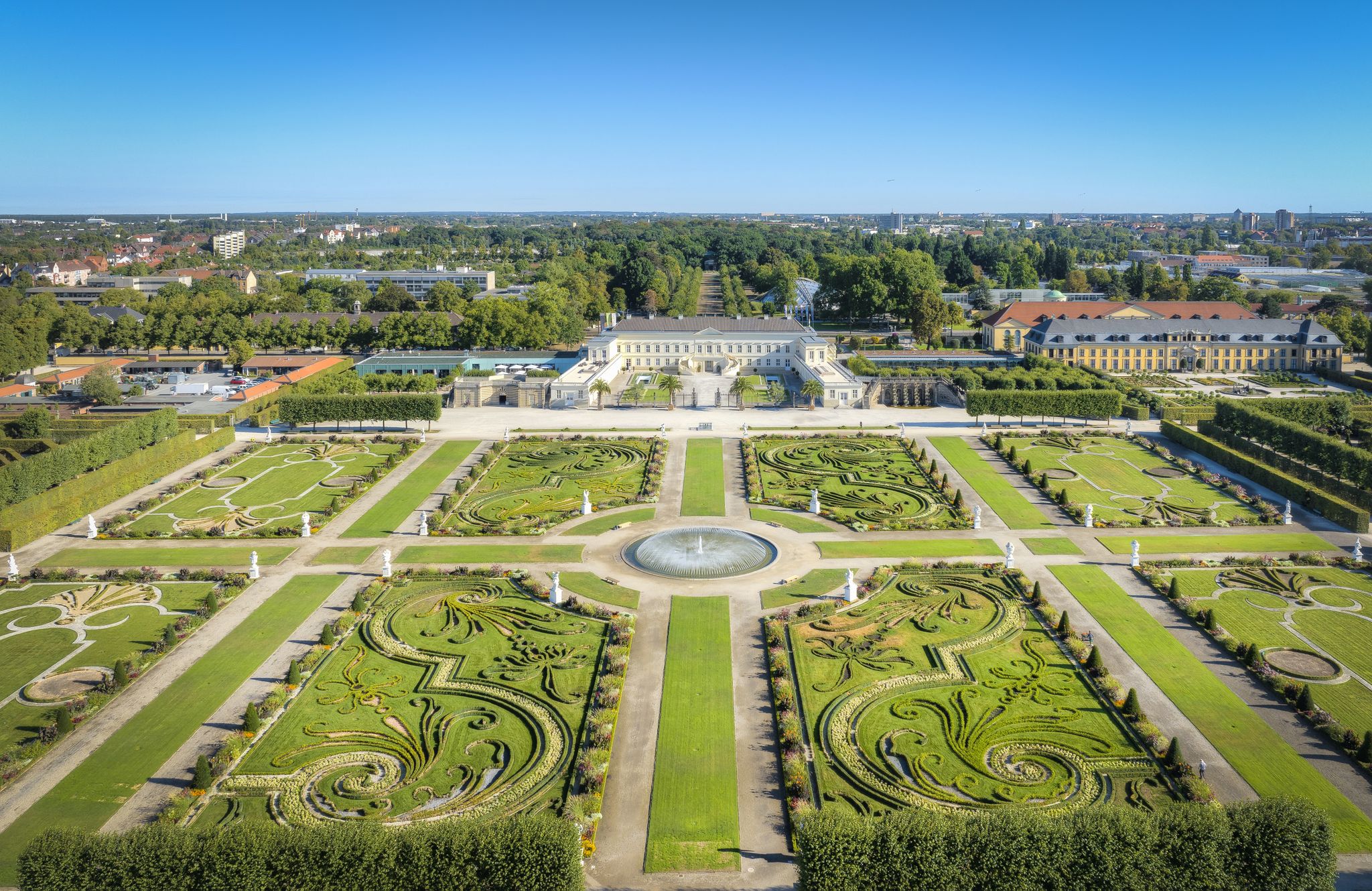
More than thirty years ago, work began on covering this waste dump with construction rubble and excavated soil. Since then, a large portion of the site has been planted with trees and shrubs, transforming the former salt mine into a forested mountain with diverse flora and fauna. As part of this large-scale reclamation program, a valley was created on the mountain and prepared to accommodate a wide variety of events. The Empelde Forest Hill – just outside Hanover – has become a charming place where music, theater, literature, landscape conservation, and environmental protection events take place in the open air. Source: https://waldberg-empelde.de/ueber-uns/
3
0

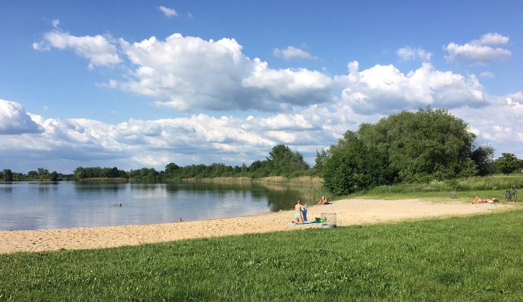
Climbing the 92 m high Brelinger Berg is beautiful
3
0

At least there is a terminal moraine in the flat north. Narrow single trails lead to the "summit".
3
0

If you have a chance to visit this private hill during a public event, you should definitely do so as you have a very good view from the top.
0
0

Small hill on the outskirts of Kaltenweide. There is a stone triangle and seating at the top.
2
0
Unfortunately, you can only visit this mountain during an event, so always inform yourself beforehand: https://waldberg-empelde.de/category/veranstaltungen/
0
0
Frequently Asked Questions
What kind of terrain can I expect around Garbsen?
Garbsen is primarily characterized by its flat topography, with an average elevation of approximately 50 meters. While there are no significant mountain peaks within the town itself, you can find some unique features like the sand dunes in the area known as "Garbsen Switzerland." Historically, some hills existed, but these have largely disappeared due to extensive sand mining.
Where can I find higher elevations or more challenging trails near Garbsen?
For those seeking more challenging elevations and hiking experiences, the Deister Mountain Range is located a bit beyond Garbsen and offers more demanding trails with stunning views. Within the broader Hanover Region, the highest and most prominent point is Bröhn, at 405 meters (1,329 ft).
Are there any historical or notable elevated points to visit around Garbsen?
Yes, several points offer historical significance or unique features. The Gauss Stone on Brelinger Hill is a man-made monument commemorating a land survey from 1828. The Stelinger Berg Summit is recognized as the highest survey point in the region, marked by a large stone. Street names like Osterberg and Mühlenberg also serve as reminders of former elevated areas.
What are some popular spots for views or outdoor training near Garbsen?
The Benther Berg Summit is a popular choice, known for its trails and steep sections that make it a good training spot. It also offers great views. The Gauss Stone on Brelinger Hill also serves as a viewpoint.
Are there family-friendly elevated spots or walks around Garbsen?
Yes, the Scherenbosteler Höhe is a small, family-friendly hill on the outskirts of Kaltenweide, featuring a stone triangle and seating at the top. It's a pleasant spot for a short walk.
What outdoor activities can I do near these elevated points?
You can enjoy various outdoor activities. For hiking, explore routes like the "Moor Experience Trail Resse" or "View of Otternhagener Moor" which are moderate. Mountain biking is popular around the Gauss Stone on Brelinger Hill. For more options, check out the Hiking around Garbsen guide, Running Trails around Garbsen guide, or Road Cycling Routes around Garbsen guide.
Are there any unique natural features to explore?
Beyond the sand dunes of "Garbsen Switzerland," you might encounter unique natural elements. For instance, near the Stelinger Berg Summit, there is a large anthill with an ant road crossing the path, offering an interesting natural observation point.
What do visitors enjoy most about the elevated points around Garbsen?
Visitors appreciate the variety of experiences, from the challenging trails and great views at Benther Berg Summit to the historical significance of the Gauss Stone on Brelinger Hill. The community also enjoys the unique natural features like the anthill near Stelinger Berg Summit and the peaceful, family-friendly atmosphere of Scherenbosteler Höhe.
Can I visit Waldberg Empelde, and what is special about it?
The Waldberg Empelde is a unique location, transformed from a former waste dump into a forested mountain with diverse flora and fauna. It hosts various events related to music, theater, literature, and environmental protection. However, it is generally only accessible to visitors during these public events, so it's advisable to check their schedule beforehand.
Are there any circular walks available around these elevated areas?
While specific circular walks for each individual peak are not detailed, many of the nearby hiking routes around Garbsen are designed as loops. For example, the "Moor Experience Trail Resse" and "View of Otternhagener Moor" are moderate loop trails. You can find more options in the Hiking around Garbsen guide.
What is the highest point in the immediate Garbsen region?
While Garbsen itself is very flat, the Stelinger Berg Summit is recognized as the highest survey point in the immediate region around Garbsen, marked by a large stone.
Most popular routes around Garbsen
Most popular attractions around Garbsen

Get inspired with the komoot mobile app


Explore more
See even more amazing summits around Garbsen with these guides:
