The 7 Most Amazing Peaks around Ispringen
Mountain peaks around Ispringen are situated in a region defined by a hilly landscape, rather than prominent mountainous terrain. The municipality itself has an elevation of 268 meters, with local topography generally ranging from 196 to 410 meters. This area features gentle to moderate inclines and hills, typical for the landscape between the Kraichgau and the northern Black Forest. While the broader region offers hiking opportunities, Ispringen primarily presents elevated viewpoints and high points rather than traditional mountain peaks.
Best…
Last updated: October 13, 2026
Büchenbronner Höhe Lookout Tower
Highlight • Viewpoint
Translated by Google •
Tip by

Direct Footpath to Wallberg Summit
Highlight • Trail
Translated by Google •
Tip by

Sign up now to discover places like this
Get recommendations on the best single tracks, peaks, & plenty of other exciting outdoor places.
Highest Point of Hohenwart (544 m)
Highlight • Summit
Translated by Google •
Tip by

Erzkopf
Highlight • Summit
Translated by Google •
Tip by

Steckhof Hill
Highlight • Summit
Translated by Google •
Tip by

Sign up for free to discover even more peaks around Ispringen.
Already have an account?
Start today with a free account
Your next adventure awaits.
Tips from the Community

The tower is cordoned off and inaccessible. The last renovation was in 1984. I assume that after more than 40 years, it's time for a thorough inspection of the tower and its 125 steps leading to the viewing platform.
15
0

The Stockhof measured 6m higher with a direct transition to the adjacent Tannenberg
0
0

Steep like a mountain. Well paved
2
0

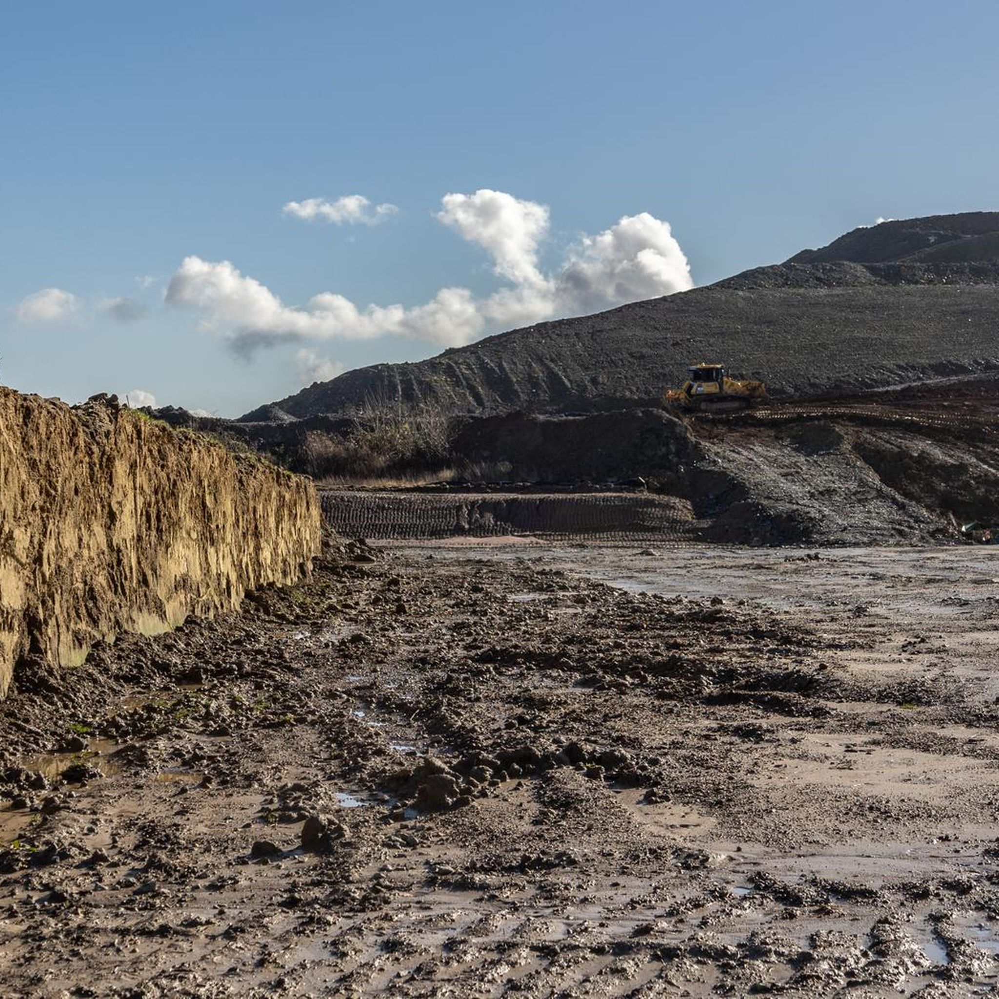
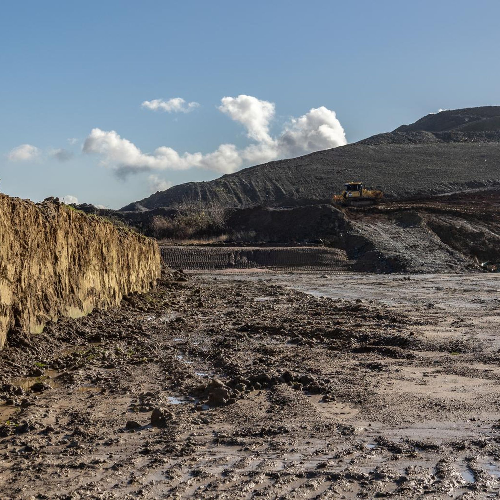
There is a wonderful panoramic view of Pforzheim. At the top it is also pointed out that this is a rubble mountain, a reminder that the city was destroyed by bombs in the Second World War. It is very steep to the top, but the panoramic view quickly makes you forget this.
1
1

There are many ways to the summit. At the summit you will be rewarded with a panoramic view
0
3
It goes steeply uphill and the rest bench is just before the last third
0
2

Sit down once more and the rest is still possible
5
2
There are three options, but it doesn't matter which one you do, the summit is ☝️
4
6
Frequently Asked Questions
What kind of elevated spots can I explore around Ispringen?
Ispringen is characterized by a hilly landscape rather than traditional mountain peaks. You'll find elevated viewpoints and high points offering scenic perspectives. For example, the Büchenbronner Höhe Lookout Tower, Pforzheim's highest point at 608 meters, provides extensive views after climbing 125 steps. Another notable spot is Sattelstein Kämpfelbach, a natural monument with panoramic views at 300 meters above sea level.
Are there any family-friendly elevated spots or trails near Ispringen?
Yes, several spots are suitable for families. Both the Büchenbronner Höhe Lookout Tower and Sattelstein Kämpfelbach are categorized as family-friendly. The Büchenbronner Höhe Lookout Tower offers a manageable climb with a rewarding view, while Sattelstein Kämpfelbach provides a pleasant viewpoint with a bench for resting.
What is the terrain like for hiking to these elevated points around Ispringen?
The terrain around Ispringen generally features gentle to moderate inclines and hills. While some paths, like the Direct Footpath to Wallberg Summit, are noted for being steep, they are often well-paved. The region is more about exploring elevated viewpoints and high points within a hilly landscape rather than challenging mountain climbing.
Are there any lookout towers or prominent viewpoints to visit?
Absolutely. The Büchenbronner Höhe Lookout Tower is a significant attraction, offering views of Pforzheim from 608 meters. Another viewpoint, Sattelstein Kämpfelbach, provides fantastic panoramic views at 300 meters above sea level. Please note that the Hohe Warte tower is currently closed for renovation until September/October 2025.
What kind of natural features can I expect to see at these elevated spots?
You can expect to see expansive panoramic views of the surrounding hilly landscape, typical of the area between the Kraichgau and the northern Black Forest. Many spots, like Sattelstein Kämpfelbach and the Highest Point of Hohenwart (544 m), are designated natural monuments, highlighting their scenic value.
What outdoor activities can I do near these elevated points?
Beyond exploring the elevated points themselves, the region around Ispringen offers various outdoor activities. You can find numerous routes for mountain biking, running, and gravel biking. For detailed routes, check out the MTB Trails around Ispringen, Running Trails around Ispringen, and Gravel biking around Ispringen guides.
Are there specific hiking trails that lead to these elevated points?
Yes, for instance, the Direct Footpath to Wallberg Summit is a dedicated trail leading to a summit. Many other elevated points are accessible via well-maintained paths that are part of the broader hiking network in the region. You can find more hiking options in the nearby guides for various sports.
What do visitors enjoy most about the elevated spots around Ispringen?
Visitors frequently appreciate the rewarding panoramic views from the various viewpoints. The Büchenbronner Höhe Lookout Tower is praised for its extensive vistas of Pforzheim, while Sattelstein Kämpfelbach is loved for its fantastic panoramic views and a convenient bench for resting. The overall appeal lies in the accessible natural beauty and diverse perspectives of the hilly landscape.
Is there a highest point in the immediate vicinity of Ispringen that I can visit?
While Ispringen itself is situated in a hilly area, the highest point mentioned in the broader region is the Büchenbronner Höhe Lookout Tower, which is Pforzheim's highest point at 608 meters above sea level. It offers a significant elevation and a great vantage point.
Are there any historical sites associated with these elevated points?
The Direct Footpath to Wallberg Summit is categorized as an intermediate historical site, suggesting some historical significance. Additionally, the Büchenbronner Höhe Lookout Tower, built in 1883, is a man-made monument with historical context.
What is the best time of year to visit the elevated points around Ispringen?
The elevated points around Ispringen can be enjoyed throughout the year. Spring and autumn offer pleasant temperatures and vibrant foliage, while summer provides clear views, though some spots like Sattelstein Kämpfelbach can be very sunny. Winter visits are also possible, offering a different, often serene, perspective of the landscape.
Are there any facilities available at these viewpoints?
Some viewpoints offer basic facilities. For example, Sattelstein Kämpfelbach has a bench for resting. The Büchenbronner Höhe Lookout Tower is a substantial structure with steps for climbing, implying a certain level of infrastructure. For specific amenities, it's always good to check individual highlight details.
Most popular routes around Ispringen
Most popular attractions around Ispringen

Get inspired with the komoot mobile app


Explore more
See even more amazing summits around Ispringen with these guides:
