The 3 Most Amazing Peaks around Fehring
Best mountain peaks around Fehring are characterized by rolling hills and elevated points within the scenic Thermen- & Vulkanland of Styria, Austria. This region, shaped by ancient volcanic activity, offers a landscape of gentle inclines rather than towering peaks. Visitors can explore numerous elevated areas that provide expansive panoramic views over the surrounding volcanic and thermal landscape. These locations are integral to the area's hiking and cycling routes, contributing to the unique charm of the Fehring region.
Best mountain peaks…
Last updated: October 13, 2026
Gleichenberger Kogel (598 m) Ruins
Highlight • Historical Site
Translated by Google •
Tip by

Stradner Kogel Communication Tower
Highlight • Monument
Translated by Google •
Tip by
Sign up now to discover places like this
Get recommendations on the best single tracks, peaks, & plenty of other exciting outdoor places.
Stadlberg Observation Tower
Highlight • Viewpoint
Translated by Google •
Tip by

Serdiski Berg
Highlight • Summit
Translated by Google •
Tip by

Start today with a free account
Your next adventure awaits.
Popular around Fehring
EuroVelo 9 – The Amber Route from the Baltic to Adriatic Sea
The Styrian Wine Country Cycle Trail – exploring Austria's wine culture
Hiking in Eastern Austria – Culinary delights, culture and charm

Discover Styria in Austria on foot – ‘From Glacier to Wine’ North Route
Cycling around Fehring
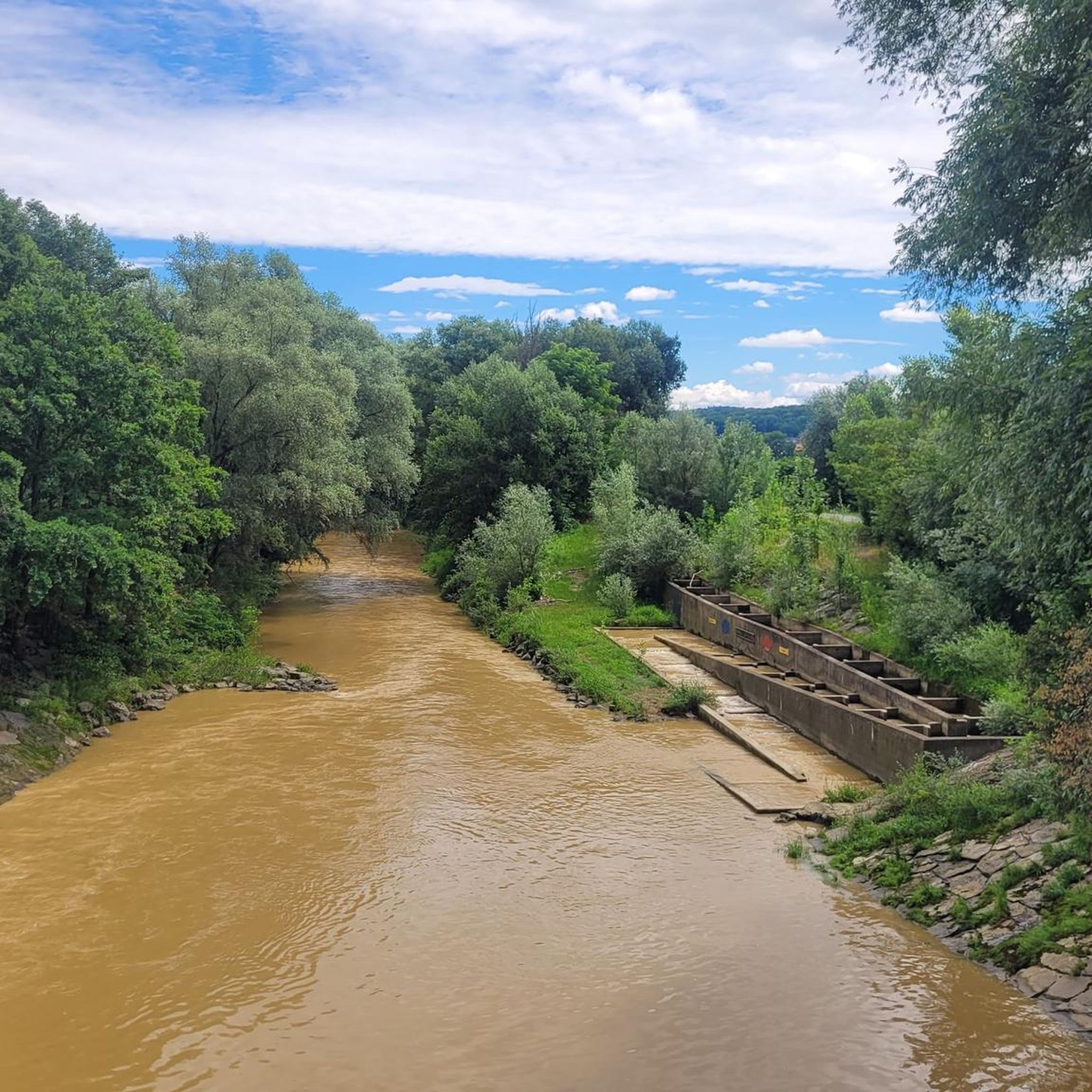
Hiking around Fehring
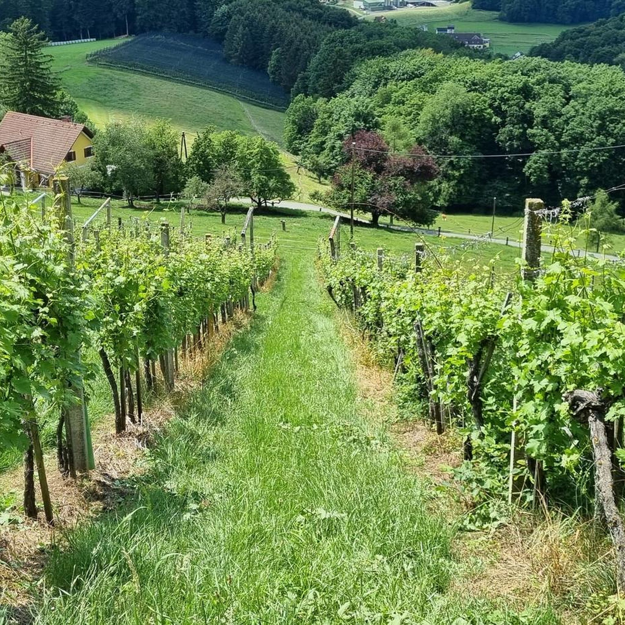
MTB Trails around Fehring
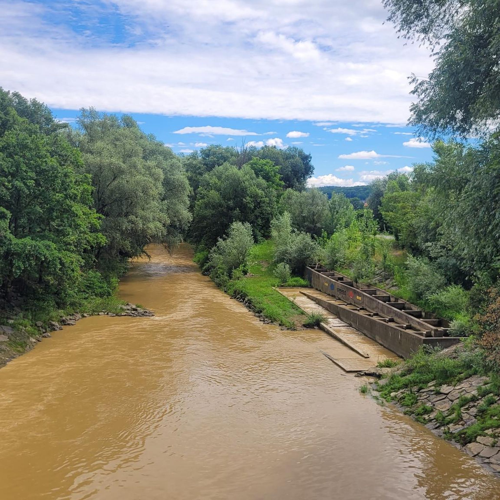
Road Cycling Routes around Fehring
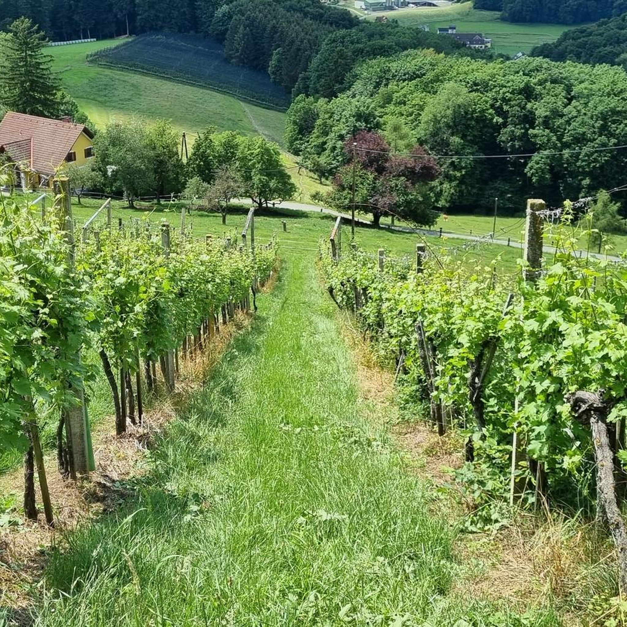
Running Trails around Fehring

Gravel biking around Fehring
Other adventures around Fehring


Tips from the Community

Low mountain with a wide view. A beautiful place with a wide view of Slovenia.
1
0

Up here at the summit of Serdiski Mountain there is a shady rest area and a great view of the surrounding area.
0
0

There is a wonderful view here.
0
0

well done, really a real highlight
0
0

The quarry nearby gives a perfect view
0
0

highest point in the area, unfortunately in the forest and little view
0
0

Beautiful hike on the Kogel with a beautiful cross
1
0

Just the thought of crossing the most important Kogel in Southeast Styria and in the beautiful "Styrian Volcanic Country" in a relatively small radius is appealing.
1
0
Frequently Asked Questions
What kind of mountain peaks can I expect to find around Fehring?
The Fehring region, part of Styria's Thermen- & Vulkanland, is characterized by rolling hills and elevated points shaped by ancient volcanic activity, rather than towering peaks. These gentle inclines offer expansive panoramic views over the surrounding landscape and are ideal for hiking and cycling.
Which elevated points offer the best panoramic views in the Fehring area?
For stunning panoramic views, consider visiting the Stadlberg Observation Tower, which provides wide vistas, including views of Slovenia. The Stradner Kogel Communication Tower, one of the highest elevations in southeast Styria, also offers great views despite some sections being forested. Additionally, Serdiski Berg provides a shady rest area with excellent views of the surrounding area.
Are there any historical sites among the elevated points near Fehring?
Yes, the Gleichenberger Kogel (598 m) Ruins is a notable historical site. This extinct volcano is considered an important 'Kogel' in the Styrian Volcanic Country and offers rewarding experiences despite its steep ascent.
What are the highest points in the Fehring region?
The Stradner Kogel Communication Tower, at 609 meters above sea level, is one of the highest elevations in southeast Styria. Another significant high point is the Gleichenberger Kogel (598 m) Ruins.
What outdoor activities can I do near the elevated points around Fehring?
The rolling hills and elevated areas around Fehring are perfect for various outdoor activities. You can enjoy extensive hiking and cycling routes. For specific cycling adventures, explore the Gravel biking around Fehring or Road Cycling Routes around Fehring. If you prefer running, there are also dedicated Running Trails around Fehring.
Are there family-friendly elevated points or hikes in the Fehring area?
Yes, several elevated points are suitable for families. The Stadlberg Observation Tower is marked as family-friendly, offering a rewarding climb with great views. Serdiski Berg also features a shady rest area and good views, making it a pleasant stop for families.
What is the terrain like for hiking around Fehring's elevated points?
The terrain around Fehring consists of rolling hills and gentle inclines, characteristic of the volcanic landscape. While some ascents, like to the Stradner Kogel Communication Tower or Gleichenberger Kogel (598 m) Ruins, can be steep or tough, many routes offer diverse paths through forests, past vineyards, and provide options for various fitness levels.
Can I combine hiking with local culinary experiences in Fehring?
Absolutely. The region's 'gentle wine hills' mean that many hiking routes pass through vineyards. This allows visitors to combine outdoor activity with the region's renowned wine culture and enjoy local culinary delights at various points along the trails.
What do visitors particularly enjoy about the elevated points around Fehring?
Visitors frequently appreciate the expansive panoramic views over the Styrian thermal and volcanic country. The unique combination of natural beauty, historical sites like the Gleichenberger Kogel (598 m) Ruins, and the opportunity for diverse outdoor activities like hiking and cycling are also highly valued. The komoot community has shared 42 photos and given 130 upvotes, highlighting the region's appeal.
Are there any specific running routes that include elevated sections near Fehring?
Yes, the Fehring region offers several running trails that incorporate elevated sections. For example, the 'Junkerlauf' route, which is part of the broader running and walking network, reaches approximately 403 meters and leads through diverse terrain, including the Dammwald forest, offering views over the landscape. You can find more options in the Running Trails around Fehring guide.
What is the best way to access the Stadlberg Observation Tower?
The Stadlberg Observation Tower can be reached by climbing on foot or by bike. It is also possible to drive by car to access this viewpoint.
Most popular routes around Fehring
Most popular attractions around Fehring

Get inspired with the komoot mobile app


Explore more
See even more amazing summits around Fehring with these guides:
