The 3 Most Amazing Peaks around Haunoldstein
Best mountain peaks around Haunoldstein are characterized by gently rolling hills and elevated points within the expansive Dunkelsteinerwald forest. The local topography offers numerous elevated points ideal for hiking and scenic views, with the highest points in its immediate vicinity reaching approximately 389 meters above sea level. This region provides a diverse landscape of forests and hills, offering accessible routes for various fitness levels. Notable landmarks and natural features include several summit crosses and viewpoints that provide panoramic vistas over…
Last updated: August 20, 2026
Dunkelstein Summit Cross
Highlight • Summit
Translated by Google •
Tip by

Hamesberg with summit cross
Highlight • Summit
But the view is really nice and a little to the side at the end of the …
Translated by Google •
Tip by

Sign up now to discover places like this
Get recommendations on the best single tracks, peaks, & plenty of other exciting outdoor places.
Sign up for free
Loosdorf Summit Cross (363 m)
Highlight • Summit
The metal box could contain a summit book - unfortunately, it's filled with garbage - what a pity!
Translated by Google •
Tip by

Luftberg Viewpoint
Highlight • Viewpoint
Showing Translation
Tip by

View from Hiesberg Summit
Highlight • Viewpoint
Not very spectacular, but you have a good view towards Loosdorf (Anzendorf, Schallaburg ...)
Translated by Google •
Tip by

Start today with a free account
Your next adventure awaits.
Login or Signup
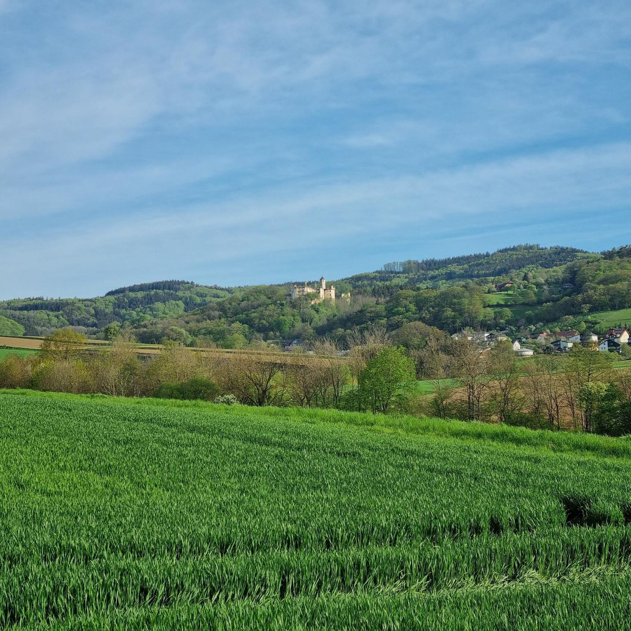
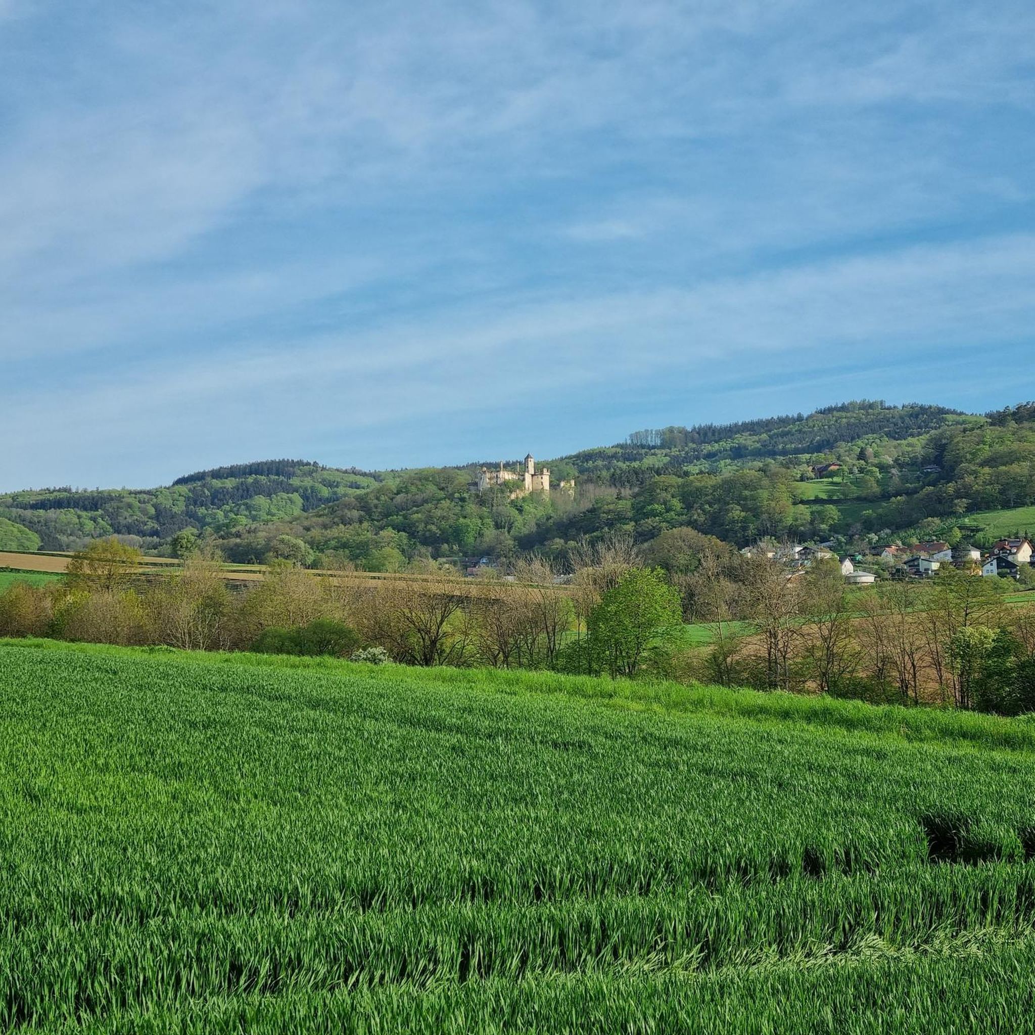

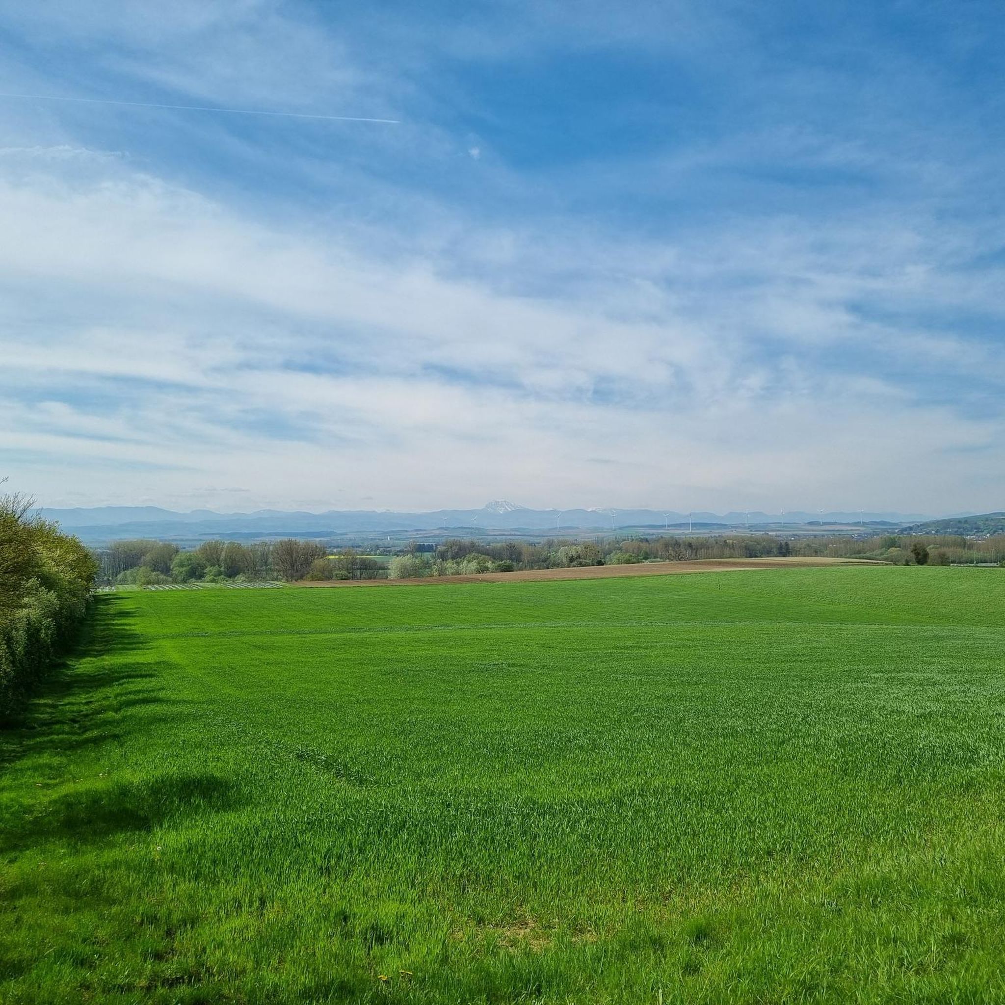
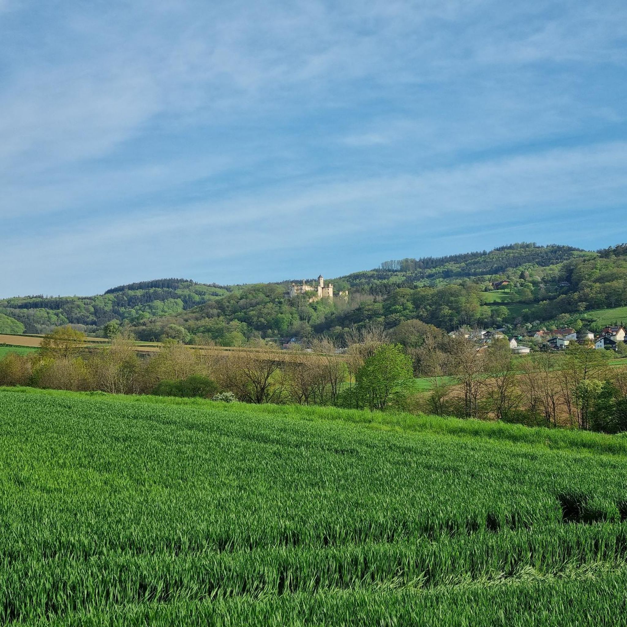
Tips from the Community

From the Luftberg down to the Danube there was the big landslide. From Aggsbach-Dorf there is a very beautiful circular hiking trail over the Luftberg.
0
0


A definite recommendation for anyone who needs to get out of the city and is looking for a destination! Thanks to the various ascent options, the tour can be tailored to individual time constraints and adapts to all lifestyles! Fantastic!!
0
0

The Dunkelstein (625m) near St. Pölten is an easily accessible destination with a summit cross, ideal for a short hike without any special requirements, often combined with the summit cross at the Hennesteck for a beautiful view, as the Dunkelstein itself is mostly surrounded by trees; a tip is to combine the loop with the nearby, scenic summit to have the full experience with summit register and panoramic view.
0
0

At 625 meters above sea level, the Dunkelstein is the highest point in the southern Dunkelstein Forest. An iron high stand was erected near the summit in 1931 for the purpose of surveying. This was blown up by the German Wehrmacht in 1945. The concrete foundations and remnants of the latticework can still be seen today not far from the summit cross.
1
0


A really nice place with a great view, the Römerweg 651 leads over here.
2
0

At 625 meters above sea level, the Dunkelstein is the highest point in the Dunkelsteinerwald.
4
0
Frequently Asked Questions
What kind of mountain peaks can I expect around Haunoldstein?
The area around Haunoldstein features gently rolling hills and elevated points rather than towering, rugged mountain summits. These offer scenic views and enjoyable hikes, particularly within the expansive Dunkelsteinerwald forest. While the immediate vicinity of Haunoldstein has elevations around 274 meters, with highest points reaching approximately 389 meters, the broader Dunkelsteinerwald can reach up to 700 meters.
Are there any notable viewpoints or summit crosses to visit near Haunoldstein?
Yes, several elevated points offer rewarding views and feature summit crosses. You can visit the Dunkelstein Summit Cross, which marks the highest point in the southern Dunkelsteinerwald at 625 meters. Another popular spot is the Hamesberg with its summit cross at 451 meters, known for its nice views and a summit book. The Loosdorf Summit Cross (363 m) also provides good views.
What are some easy hikes suitable for beginners or families around Haunoldstein?
The Sierninger Berg, with its Sierninger Bergkreuz viewpoint, offers accessible hiking routes that are part of the Dunkelsteinerwaldrunde (DUR 8). This trail is considered easy to moderate and suitable for varying fitness levels, including families. It provides a relatively short ascent and scenic views over Groß Sierning and the Mostviertel region.
Can I bring my dog on the hiking trails near Haunoldstein?
Generally, dogs are welcome on most hiking trails in the Dunkelsteinerwald region, provided they are kept on a leash, especially in forested areas or near wildlife. Always ensure to clean up after your pet. The trails around the Sierninger Berg are typically suitable for dog walking.
What historical sites or cultural landmarks can I explore while hiking in the area?
The region around Haunoldstein is rich in history. You can find historical sites such as the Osterburg ruins, located on a steep slope by the Pielach river. The Parish Church of St. Michael, an old fortified church dating back to the 12th century, is another significant landmark that can be appreciated during hikes in the area.
What is the best time of year to hike the peaks near Haunoldstein?
The best time to hike the peaks and hills around Haunoldstein is typically from spring through autumn (April to October). During these months, the weather is generally mild, and the trails are clear. Autumn offers particularly beautiful scenery with changing foliage. While winter hiking is possible, be prepared for colder temperatures and potentially icy or snowy conditions on trails.
Are there other outdoor activities besides hiking near Haunoldstein's peaks?
Yes, the area offers a variety of outdoor activities. You can explore numerous cycling routes, including Road Cycling Routes around Haunoldstein and Traffic-free bike rides around Haunoldstein. There are also dedicated Running Trails around Haunoldstein for those who enjoy jogging.
How can I access the hiking areas around Haunoldstein by public transport?
Haunoldstein is a municipality in Lower Austria. While specific public transport routes directly to trailheads might vary, regional buses often connect the smaller villages. For detailed information on public transport options to Haunoldstein and nearby trail access points, it's advisable to check local bus schedules or regional transport websites for Lower Austria.
Where can I find panoramic views of the Mostviertel region?
For panoramic views of the Mostviertel region, head to the Sierninger Bergkreuz on the Sierninger Berg. This viewpoint offers scenic vistas over the surrounding village of Groß Sierning and the picturesque landscape. The Hamesberg with its summit cross also provides a really nice view.
What do visitors enjoy most about the peaks in this area?
Visitors particularly enjoy the accessible nature of the trails, the rewarding panoramic views from summit crosses and viewpoints like the Sierninger Bergkreuz, and the peaceful forest environment of the Dunkelsteinerwald. The presence of summit books at places like the Hamesberg also adds a charming touch for hikers.
Are there any longer or more challenging routes for experienced hikers?
While the immediate vicinity of Haunoldstein features gentler hills, the broader Dunkelsteinerwald offers a diverse landscape with trails suitable for different abilities. For more challenging options, look for routes that traverse larger sections of the Dunkelsteinerwald, potentially including ascents to higher points like the Dunkelstein Summit Cross, which is at 625 meters above sea level.
Where can I find information about cafes or places to eat near the hiking trails?
Haunoldstein and its surrounding villages offer local eateries and guesthouses where you can find refreshments. It's best to check local directories or search online for cafes and restaurants in Haunoldstein, Groß Sierning, or Loosdorf, especially before or after your hike. Some viewpoints, like the Hamesberg, even have shady spots with tables and benches for a picnic break.
Most popular routes around Haunoldstein
Most popular attractions around Haunoldstein

Get inspired with the komoot mobile app


Explore more
See even more amazing summits around Haunoldstein with these guides:
