St. Leonhard am Hornerwald
St. Leonhard am Hornerwald
The 3 Most Amazing Peaks around St. Leonhard am Hornerwald
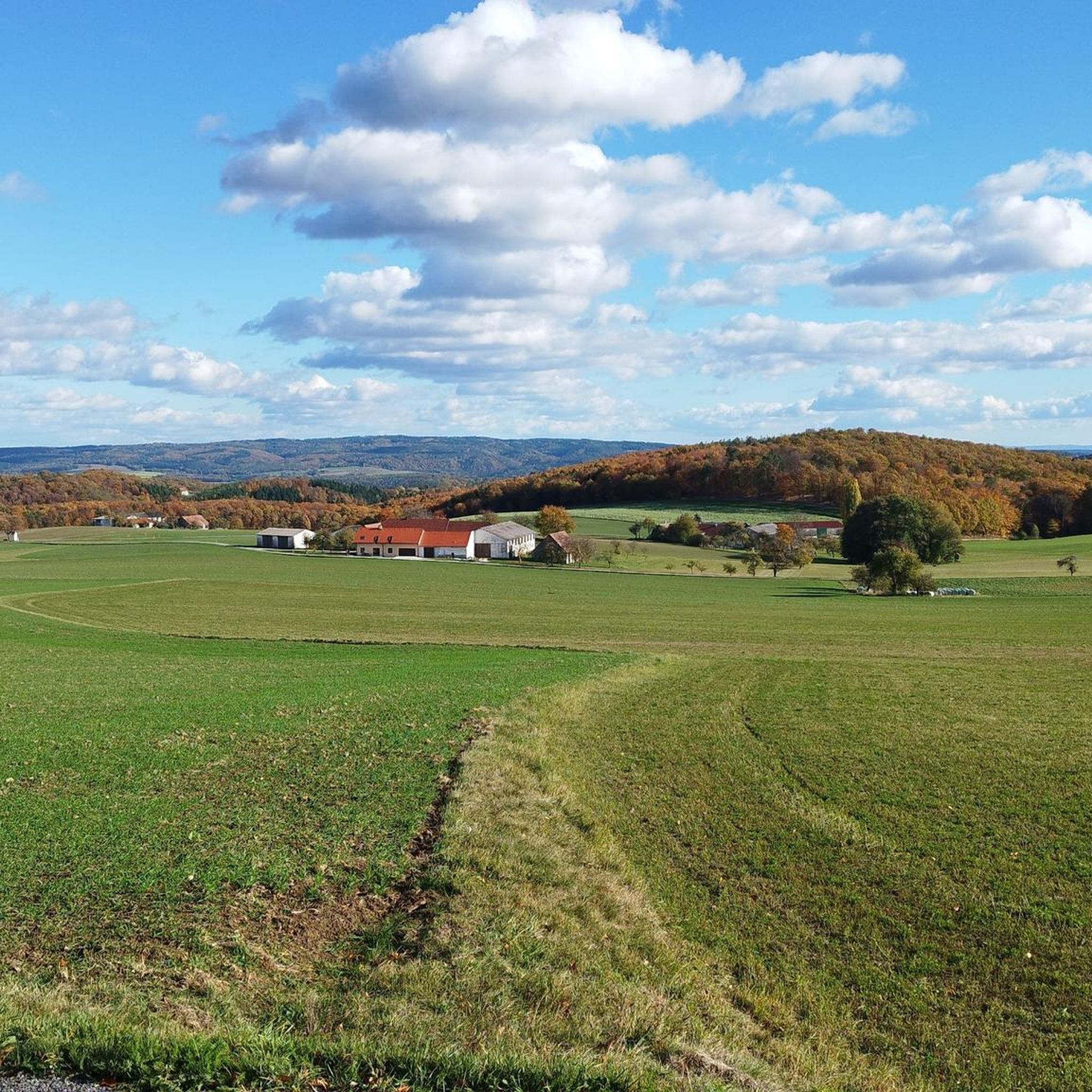
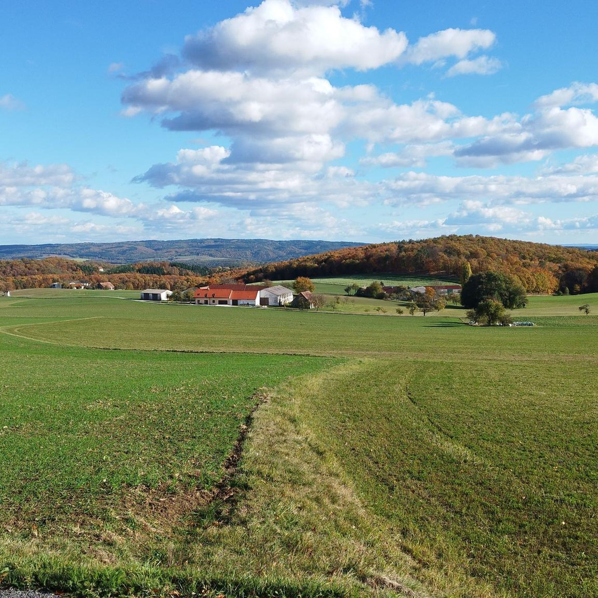
Best mountain peaks around St. Leonhard am Hornerwald are characterized by rolling hills, dense forests, and scenic viewpoints rather than towering alpine summits. The municipality itself is situated at an elevation of 582 meters. This region in the Waldviertel offers numerous hiking opportunities that lead to elevated spots and historical remnants, providing diverse experiences for outdoor enthusiasts. The landscape features gentle hills and green meadows, making it suitable for exploring nature and enjoying panoramic views.
Best mountain peaks around St.…
Last updated: July 10, 2026
Kampthalerwarte
Highlight • Viewpoint
Translated by Google •
Tip by

Pyramids on the Manhartsberg
Highlight • Monument
Translated by Google •
Tip by

Sign up now to discover places like this
Get recommendations on the best single tracks, peaks, & plenty of other exciting outdoor places.
Sign up for free
Manhartsberg Summit and Memorial Cross
Highlight • Summit
Translated by Google •
Tip by

Summit of the Stiefern Way of the Cross
Highlight • Religious Site
Translated by Google •
Tip by

Dreiturmberg
Highlight • Natural Monument
Showing Translation
Tip by

Start today with a free account
Your next adventure awaits.
Login or Signup
Popular around St. Leonhard am Hornerwald

Tips from the Community

Very beautiful Way of the Cross from STiefern to Schönberg.
0
0
The lookout tower is actually called Kamtalwarte and is 21 m high.
0
0

Three large stone towers on the summit of the hill. Really worth a visit.
0
0

The Manhartsberg region on the border between the Waldviertel and Weinviertel is a centuries-old settlement area with natural beauty, fertile landscapes, good infrastructure and a high quality of life. Around 11,200 people live in the seven communities on the ridge of the Manhartsberg (537 m), which forms the gateway to the Waldviertel, on 240 km2.
1
0


The hiking trail to the observation point leads through a really beautiful forest or beautiful vineyards and the view rewards the climb.
1
0
The control room, also known as the “Heiligensteinerwarte”, is famous for its magnificent view. When the weather is good, the view extends as far as the Alpine peaks of the Ötscher and Schneeberg! In 1889 the Kamptalbahn started its first train journey. At this time, the development of tourism in the Kamp Valley also began. Summer freshness was the order of the day and many people from Vienna and other cities flocked to the wine-filled idyll on the Kamp. In order to give summer visitors a view from Heiligenstein, the Austrian Tourist Club built the pretty “Kampthalwarte” (as it was then spelled) in the neo-Gothic style in 1897.
3
0
Frequently Asked Questions
What are the best viewpoints around St. Leonhard am Hornerwald?
For magnificent panoramic views, visit the Kampthalerwarte. On clear days, you can see as far as the Alpine peaks of Ötscher and Schneeberg. The Manhartsberg Summit and Memorial Cross also offers scenic vistas, as does the Summit of the Stiefern Way of the Cross.
What kind of landscape can I expect when visiting the peaks around St. Leonhard am Hornerwald?
The region is characterized by gentle hills, green meadows, and dense mixed forests, rather than towering alpine peaks. You'll find a tranquil natural environment with numerous trails leading to elevated viewpoints and historical sites. The charm lies in its rolling hills and woodlands.
Are there any historical sites on the peaks near St. Leonhard am Hornerwald?
Yes, several elevated points combine natural beauty with cultural interest. The Kampthalerwarte is a neo-Gothic structure from 1897. The Pyramids on the Manhartsberg and the Manhartsberg Summit and Memorial Cross are located on a historically significant ridge. Additionally, the Summit of the Stiefern Way of the Cross features a Calvary complex and individual stations winding up the slope.
What is the highest point in the St. Leonhard am Hornerwald area?
The highest point in the immediate area is the Manhartsberg Summit, which reaches an elevation of 537 meters (1,762 ft) above sea level. It forms a natural border between the Waldviertel and Weinviertel regions.
Are there easy hiking trails to the peaks around St. Leonhard am Hornerwald?
Yes, there are easy hiking trails that allow you to explore the elevated areas. For example, the "Schauenstein Ruins loop from Röhrenbach" is an easy 2.2 km route. You can find more options in the Easy hikes around St. Leonhard am Hornerwald guide.
What challenging routes are available for experienced hikers?
For more challenging hikes with significant elevation changes, consider routes like the "Burg Krumau am Kamp – Krumau Lake Circular Trail loop from Katastralgemeinde Thurnberg," which is a difficult 9.2 km route. The "Schauenstein Ruins – Former Binnenthal Mill Ruins loop from Röhrenbach" is a moderate 12.1 km trail offering scenic views. Explore more options in the Hiking around St. Leonhard am Hornerwald guide.
Can I go cycling near the peaks of St. Leonhard am Hornerwald?
Absolutely. The region offers various cycling routes, including challenging ones that traverse the hilly terrain. Examples include the "View of Rosenburg Castle – Rosenburg Castle loop from Idolsberg" (46.3 km, difficult) and the "Bicycle Bridge Over the Kamp – Kamp Valley Riverside Trail loop from Buchberg am Kamp" (30.7 km, difficult). Find more routes in the Cycling around St. Leonhard am Hornerwald guide.
Are there any unique natural features to see on the peaks?
Yes, the Dreiturmberg features three large stone towers on its summit, which are a notable natural monument hidden within the forest and well worth a visit.
What is the best time of year to visit the peaks around St. Leonhard am Hornerwald?
The area is beautiful year-round, but spring and autumn offer particularly pleasant hiking conditions with mild temperatures and vibrant foliage. Summer is also great for outdoor activities, while winter can provide a peaceful, snow-covered landscape, though some services like the Kampthalerwarte may have limited opening hours.
Are there family-friendly options for exploring the elevated areas?
While specific 'family-friendly' categories aren't listed for the peaks themselves, many of the easy hiking trails in the region are suitable for families. The shorter loops, such as the "Schauenstein Ruins loop from Röhrenbach" (2.2 km, easy), can be good options for families looking for a gentle walk with scenic views.
Most popular routes around St. Leonhard am Hornerwald
Most popular attractions around St. Leonhard am Hornerwald

Get inspired with the komoot mobile app


Explore more
See even more amazing summits around St. Leonhard am Hornerwald with these guides:
