The 6 Most Amazing Peaks around Lengau
Best mountain peaks around Lengau are situated within the rolling hills of the Innviertel region, providing access to a mountainous landscape and views of the distant Alps. While not featuring dramatic, high-altitude peaks, the area offers numerous opportunities for hiking and enjoying elevated terrain. The region includes significant elevations like the Weißenstein at 683 meters and the Kobernauserwald Forest, which provide varied forest hikes. Visitors can find a range of hiking routes, from easy walks to more challenging tours, catering…
Last updated: June 26, 2026
Tannberg Summit Cross
Highlight • Summit
Translated by Google •
Tip by

Kalteis Hut
Highlight • Mountain Hut
Translated by Google •
Tip by

Sign up now to discover places like this
Get recommendations on the best single tracks, peaks, & plenty of other exciting outdoor places.
Sign up for free
Hochkuchlberg Summit Cross
Highlight • Summit
Translated by Google •
Tip by

Turmwirt Lohnsburg am Steiglberg
Highlight • Viewpoint
Translated by Google •
Tip by

View from Buchberg
Highlight • Viewpoint
Translated by Google •
Tip by

Sign up for free to discover even more peaks around Lengau.
Sign up for free
Already have an account?
Start today with a free account
Your next adventure awaits.
Login or Signup

Tips from the Community

A very beautiful hike along the Literature Trail leads from Köstendorf through the beautiful forest up to the summit cross. The view was very rewarding despite the dark rain clouds 🤩👍, and would certainly be even more breathtaking in the sunshine.
1
0

Great round trip over the Buchberg
0
0

Beautiful ascent with the M-Bike to the summit cross.
0
0

Highest elevation in the Kobernaußerwald (764 m). Unfortunately always a lot of (heavy) traffic
0
0
Highest elevation in the Kobernaußerwald (764 m). Unfortunately always very busy!
0
0

A very beautiful forest area, unfortunately the inn is closed.
1
0

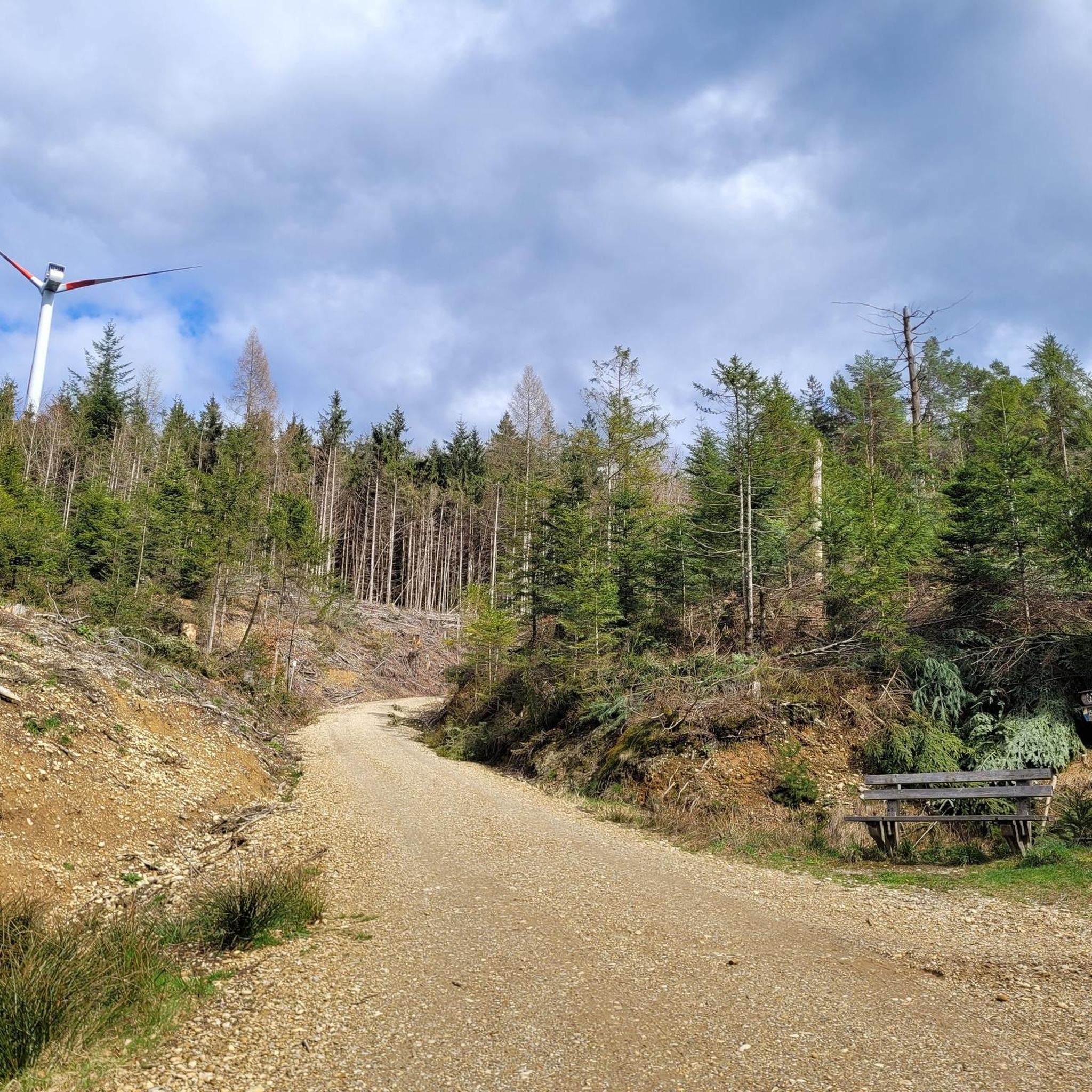
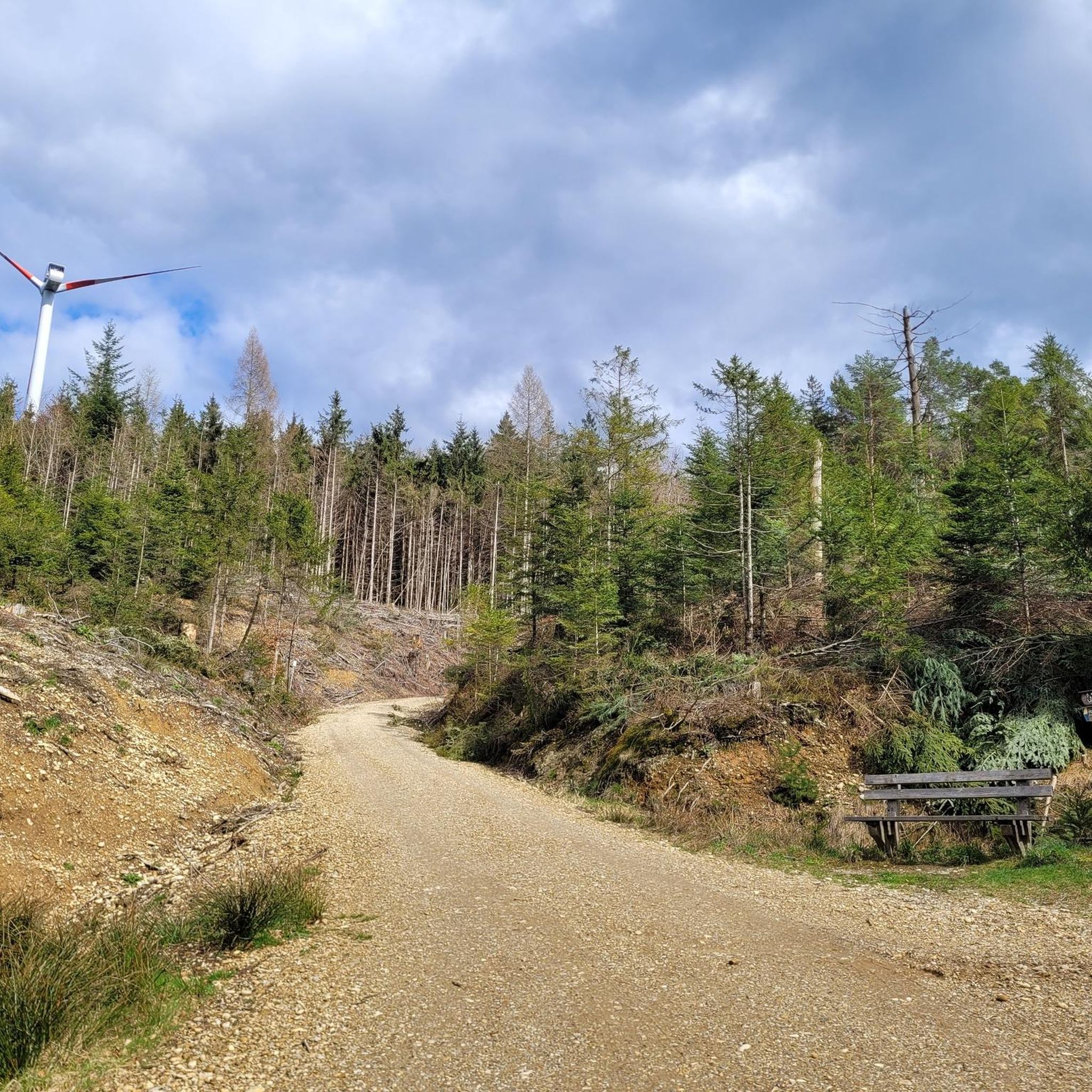
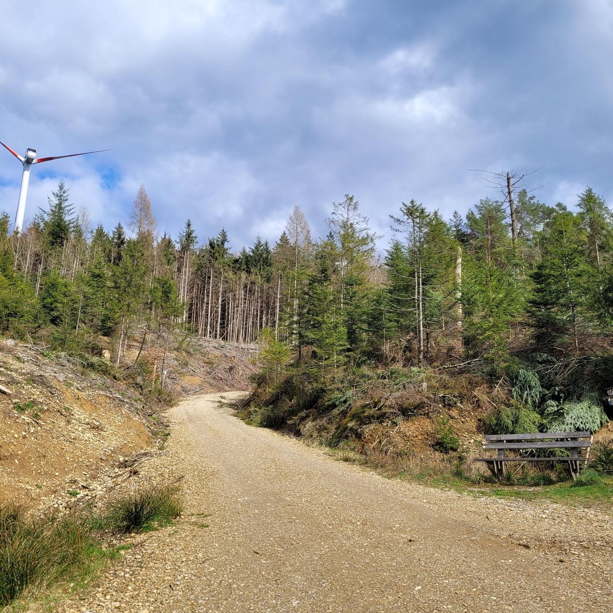
It is a 734 meter high mountain in the Hausruck and Kobernausserwald range in the Hausruckviertel. The summit is in the municipality of Pöndorf. To the northwest, the Rabenbachtal leads to the Hochecker Schwemmbachtal and thus to Mattig and Inn, to the west is the Fornacher Redltal, which drains with the Bruckwiesenbach to the Vöckla and via the Ager to the Traun. The mountain is mostly counted towards the Kobernausserwald, partly also towards the Hausruck – the demarcation of which is seen somewhere in the room. The name is likely to be of Slavic origin, -eis is a typical Windian educational syllable. In the Franciscan cadastre of the 1830s, a small hilltop settlement of Branauer is listed here, as well as an important border tree. There is said to have been an inn here. A single hut still stands today. A chapel is said to have stood nearby even earlier, according to Carl Schütz in 1787, in the south towards Meisterholz there is a St. Wolfgang. It must have fallen into disrepair by the 1830s. The mountain can be reached from all sides on numerous forest roads, through the valleys as well as along the ridges. A forest road also runs along the ridge itself. This makes the area good for hiking and mountain biking
2
0

It's going up quite a bit. But the view at the top is worth the effort. Even if the inn is closed, you can simply sit down on the bench by the big cross and enjoy the silence, the wonderful landscape all around and the view of the Wallersee.
0
0
Frequently Asked Questions
What are some of the most notable mountain peaks and elevated areas to explore around Lengau?
While Lengau is known for rolling hills rather than dramatic high peaks, several elevated areas offer great views and hiking. Popular spots include the Hochkuchlberg Summit Cross, the Tannberg Summit Cross (the highest point in the Braunau am Inn district), and the Kalteis Hut. The Weißenstein, at 683 meters, is another significant elevation in the region, often explored within the Kobernauserwald Forest.
Which elevated spots near Lengau offer the best panoramic views of the distant Alps?
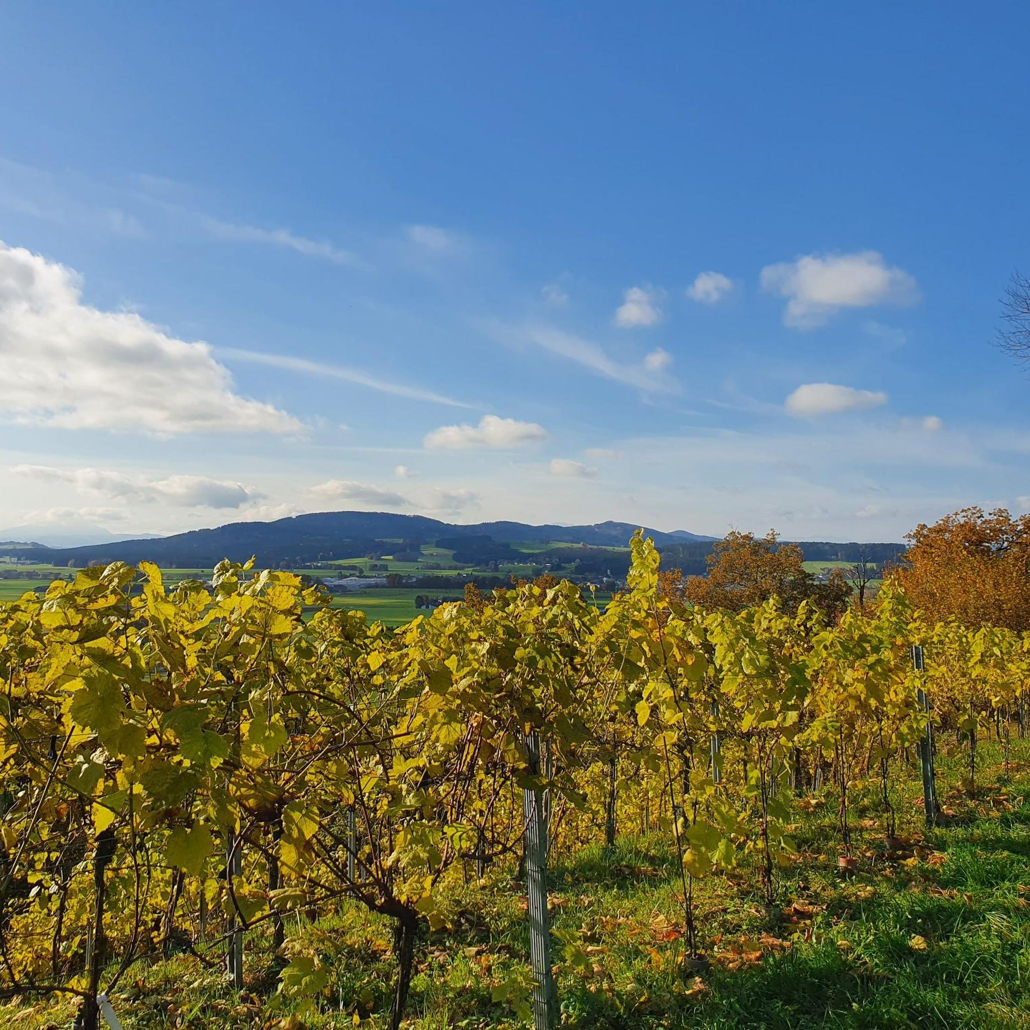
For breathtaking vistas, visit the View from Buchberg, which provides an alpine panorama stretching from the Berchtesgaden Alps to the Dachstein. The Turmwirt Lohnsburg am Steiglberg also offers excellent views over the Kobernaußerwald and as far as the Alps. Additionally, various vantage points throughout the region, such as in Seppenroith, allow you to observe distant mountains like the Watzmann.
What kind of hiking experiences can I expect around Lengau's elevated areas?
The hiking opportunities around Lengau cater to various fitness levels, ranging from easy walks to more challenging tours. You'll find varied forest hikes, paths through meadows and fields, and routes that traverse local villages. The Kobernauserwald Forest, for instance, offers moderate trails with forest roads and simple forest paths, while the Inn River Trail provides a leisurely option with scenic Alpine views.
Are there family-friendly hiking options among the peaks near Lengau?
Yes, the region offers several options suitable for families. The leisurely Inn River Trail provides breathtaking views and a peaceful natural atmosphere, ideal for less strenuous activity. Many routes in the Kobernauserwald Forest are also accessible and can be adapted for family outings, offering a blend of nature and local culture.
What are some popular hiking routes near Lengau's elevated areas?
You can find a variety of hiking routes near Lengau. For example, the Kobernauserwald Forest offers trails like the 'Kobernauserwald Forest Trail'. Many routes are available in the 'Hiking around Lengau' guide, including options like the 'Forest Chapel – Waldsee loop from Friedburg' and the 'Munderfing Wind Farm loop from Friedburg'. You can explore more options in the Hiking around Lengau guide.
Can I go mountain biking on or near the peaks around Lengau?
Yes, several elevated areas around Lengau are suitable for mountain biking. The Hochkuchlberg Summit Cross can be reached by mountain bike, and the Kalteis Hut is accessible from all sides on numerous forest roads, making it ideal for both hiking and mountain biking.
What is the best time of year to hike the mountain peaks around Lengau?
The region around Lengau is generally enjoyable for hiking during spring, summer, and autumn. These seasons offer pleasant weather conditions for exploring the varied forest trails, meadows, and elevated viewpoints. While specific winter hiking information isn't detailed, the area's rolling hills suggest that some trails might be accessible in milder winter conditions, but always check local conditions.
Are there any unique natural features or landmarks to look out for in the elevated areas?
Beyond the panoramic views, you might encounter interesting features like the Munderfing Windpark, with its prominent wind turbines on the ridge north of Friedburg. The Kobernauserwald Forest is also known for its natural beauty and potentially the former 'giant fir'. The Tannberg Summit Cross is reached via a beautiful hike along a Literature Trail.
What do visitors enjoy most about the mountain peaks and elevated areas near Lengau?
Visitors frequently appreciate the diverse hiking opportunities, ranging from easy walks to more challenging tours, and the stunning panoramic views of the distant Alps. The blend of natural landscapes, charming villages, and the accessibility of many trails for both hiking and mountain biking are also highly valued. The Hochkuchlberg Summit Cross is described as a 'nice goal to round off a tour', and the Tannberg Summit Cross offers a 'very rewarding' view.
Are there any places to eat or rest near the mountain trails around Lengau?
Yes, you can find options for rest and refreshment. The Kalteis Hut serves as a nice place for a short rest. The Turmwirt Lohnsburg am Steiglberg includes an inn where you can strengthen yourself. Additionally, many routes traverse villages, offering opportunities to find local cafes or restaurants.
What is the difficulty level of hiking the peaks around Lengau?
The difficulty of hiking around Lengau varies. Many trails, especially in the Kobernauserwald Forest and along the Inn River, are considered easy to moderate, suitable for basic fitness levels. Some ascents, like parts of the Buchberg, can be quite steep but are relatively short. Overall, the region offers options for both beginners and those seeking more challenging tours.
Are there any specific rules or considerations for dog owners on trails near Lengau's peaks?
While specific dog rules for each trail are not detailed, generally, dogs are welcome on many outdoor trails in the region. It's always advisable to keep dogs on a leash, especially in areas with wildlife or near livestock, and to carry waste bags. Always check local signage for any specific restrictions on individual paths or protected areas.
Most popular routes around Lengau
Most popular attractions around Lengau

Get inspired with the komoot mobile app


