The 7 Most Amazing Peaks around Taufkirchen an der Pram
Best mountain peaks around Taufkirchen an der Pram are characterized by a picturesque hilly landscape rather than towering summits. This region in Upper Austria, situated at an elevation of 338 meters, offers a scenic environment ideal for outdoor activities. The area provides numerous hiking trails and opportunities for nature exploration through its undulating terrain and the Pram Valley. Visitors can experience diverse natural features and viewpoints across various difficulty levels.
Best mountain peaks around Taufkirchen an der Pram
- The most…
Last updated: July 10, 2026
Turnstein – Highest Point in Natternbach
Highlight • Summit
Translated by Google •
Tip by

Ameisberg Summit (729 m)
Highlight • Summit
is called Hochholzstein by the local population and has been a popular excursion …
Translated by Google •
Tip by

Sign up now to discover places like this
Get recommendations on the best single tracks, peaks, & plenty of other exciting outdoor places.
Sign up for free
Fronberg (592 m) Observation Tower and View
Highlight • Viewpoint
Translated by Google •
Tip by

Turnstein Rock Formation and Views of the Alpine Foothills
Highlight • Natural Monument
Translated by Google •
Tip by

Hoher Schachen Viewpoint (498 m)
Highlight • Viewpoint
Showing Translation
Tip by

Sign up for free to discover even more peaks around Taufkirchen an der Pram.
Sign up for free
Already have an account?
Start today with a free account
Your next adventure awaits.
Login or Signup
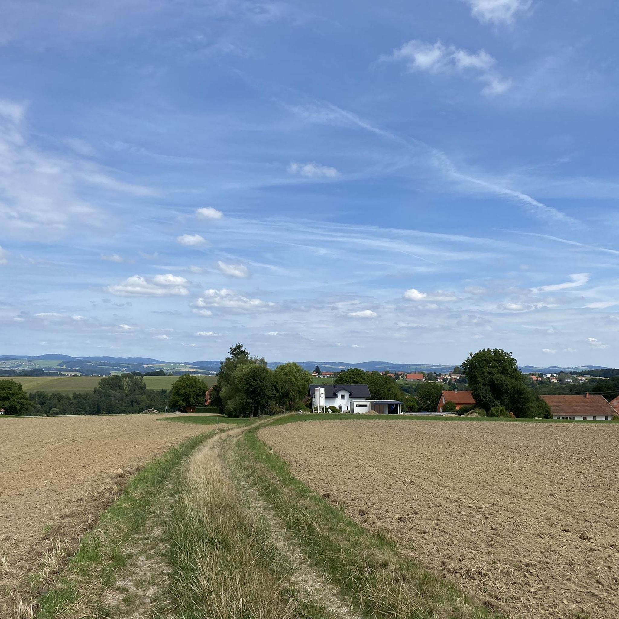
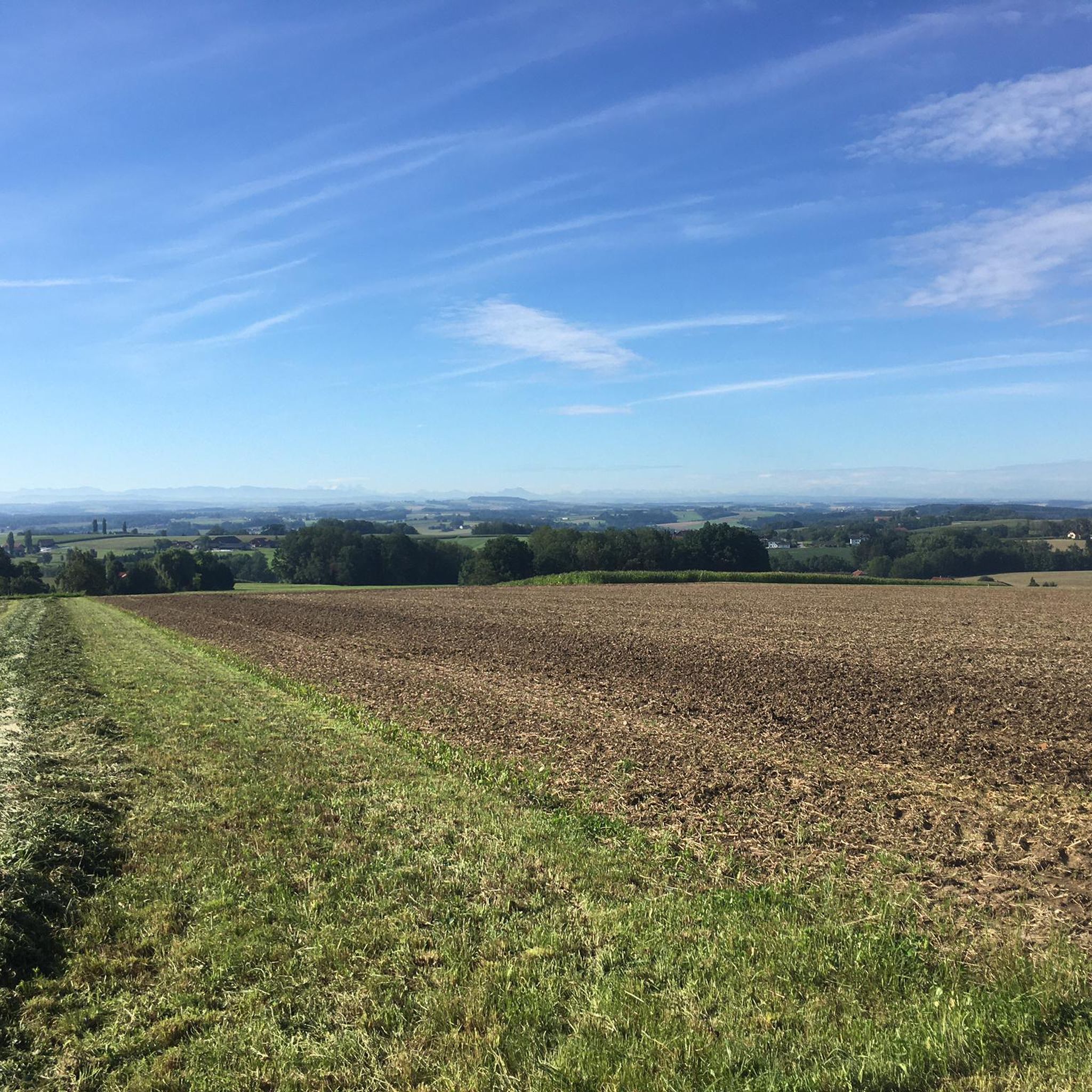
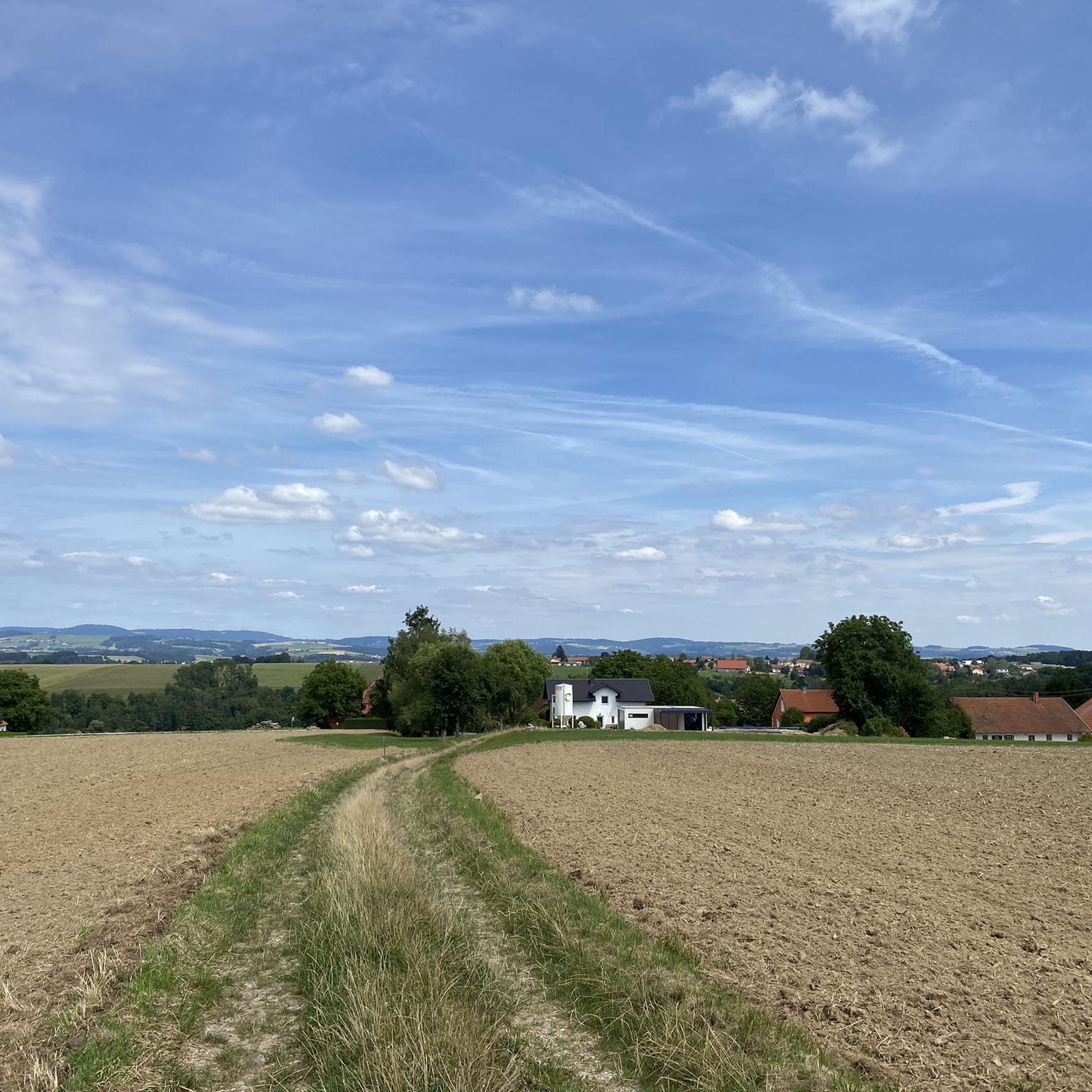
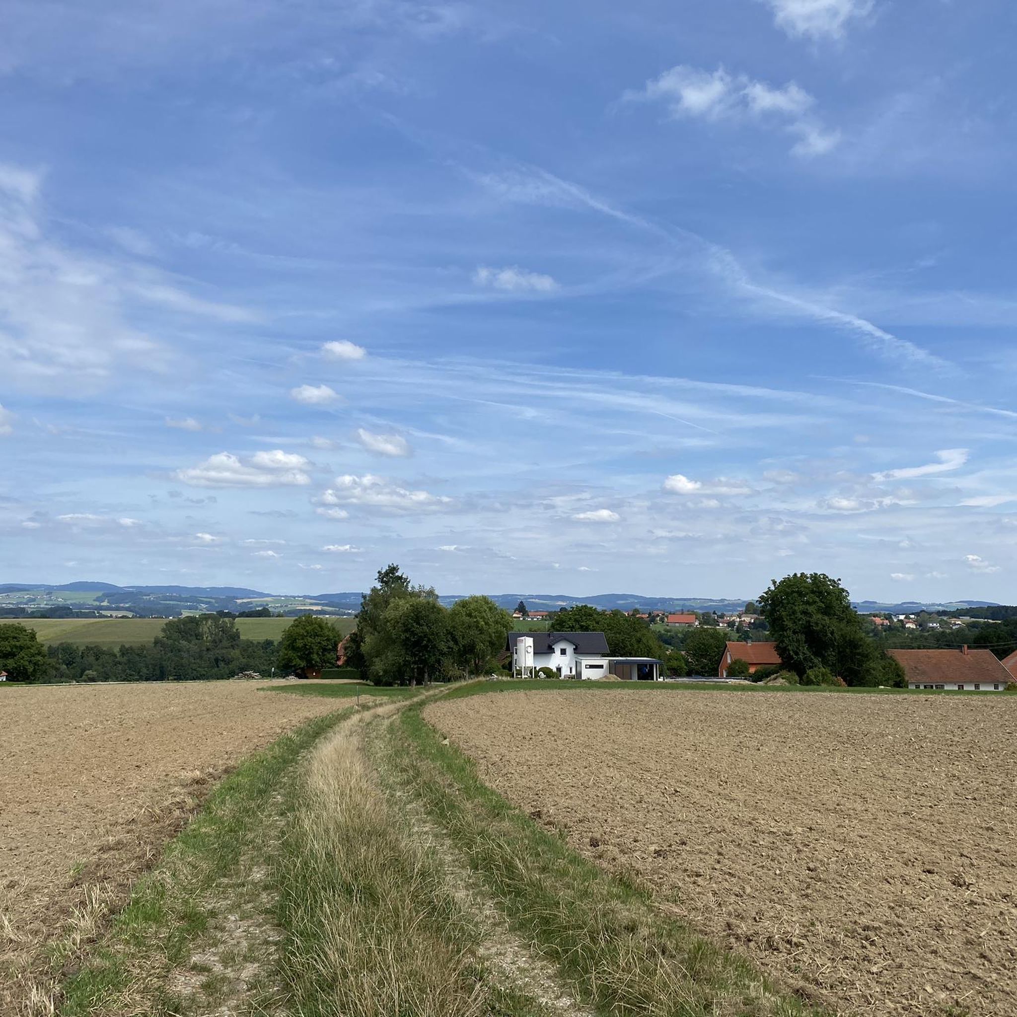
Tips from the Community

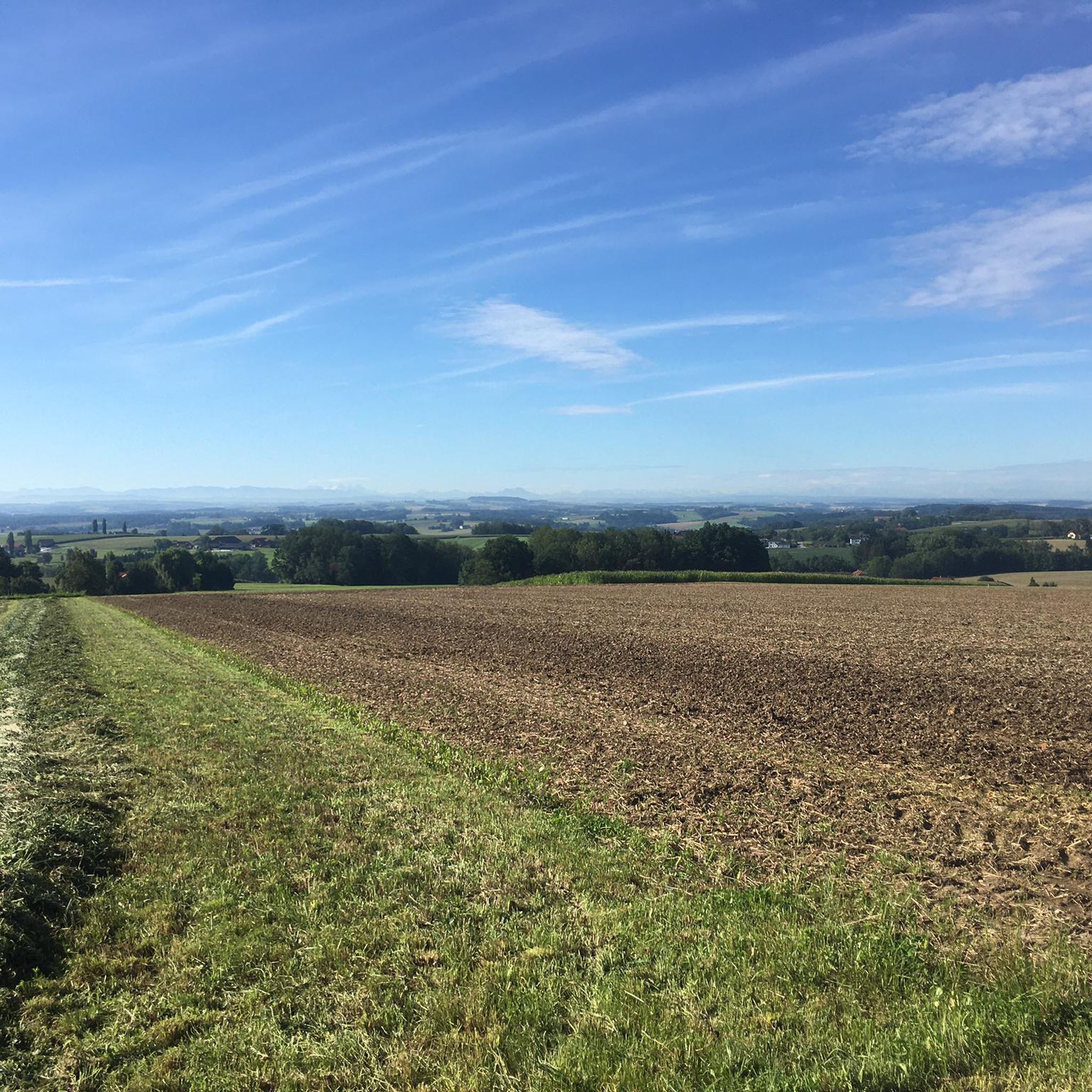
The Hohe Schachen, at an altitude of 498 meters, offers a magnificent panoramic view over the rolling hills of the Innviertel, all the way to the Salzkammergut and the peaks of the Kalkalpen. Especially in clear weather conditions, this viewpoint invites you to enjoy the vastness of the landscape and pause for a moment.
6
0

Small viewpoint on the Fronberg
2
0
Observation tower in Schardenberg
2
0

Tower has unfortunately collapsed
0
0

The highest point of Natternbach with a rest area and a wonderful view
1
0

The Fronberg is a 592 m above sea level mountain in the Sauwald in Upper Austria. It is located in the municipality of Schardenberg and is one of Passau's local mountains.
0
0
View from Fronberg 592m to Esternberg
0
0

Unfortunately the tower no longer exists as it collapsed
1
0
Frequently Asked Questions
What kind of mountain peaks can I expect to find around Taufkirchen an der Pram?
The region around Taufkirchen an der Pram is characterized by a picturesque hilly landscape rather than towering summits. You'll find elevated points, viewpoints, and natural monuments that offer scenic outlooks and opportunities for nature exploration through undulating terrain and the Pram Valley.
Which are some of the most popular elevated points or viewpoints in the area?
One of the most popular is the Ameisberg Summit (729 m), known as Hochholzstein, which is the highest point of the Ameisberg and offers great views. Another notable spot is Turnstein – Highest Point in Natternbach, providing views as far as the Alps.
Are there any natural monuments or unique rock formations to visit?
Yes, you can visit the Turnstein Rock Formation and Views of the Alpine Foothills. This natural monument offers impressive views of the Alpine foothills, making it a significant natural feature in the area.
What kind of views can I expect from the elevated points in Taufkirchen an der Pram?
From various elevated points, you can enjoy expansive views. For instance, Turnstein – Highest Point in Natternbach offers views stretching to the Alps. The Turnstein Rock Formation provides great views of the Alpine foothills, and Hoher Schachen Viewpoint (498 m) features a panoramic board for identifying landmarks.
Are there family-friendly elevated points or viewpoints suitable for all ages?
Yes, several spots are considered family-friendly. Turnstein – Highest Point in Natternbach, Turnstein Rock Formation, and Hoher Schachen Viewpoint (498 m) are all categorized as family-friendly, offering accessible options for enjoying the scenery.
What outdoor activities can I do near these elevated points?
The hilly landscape and Pram Valley are ideal for various outdoor activities. You can enjoy extensive hiking and mountain biking on numerous trails. For specific routes, explore the Easy hikes around Taufkirchen an der Pram, MTB Trails around Taufkirchen an der Pram, or Road Cycling Routes around Taufkirchen an der Pram.
Are there hiking trails near the elevated points in Taufkirchen an der Pram?
Absolutely. The region offers numerous hiking trails that wind through its undulating terrain. For example, you can find routes that lead to viewpoints like the Ameisberg Summit. Many trails are suitable for various fitness levels, from easy walks to more challenging tours. Check out the Easy hikes around Taufkirchen an der Pram for options.
What do visitors appreciate most about the elevated points and viewpoints in this region?
Visitors frequently highlight the great views and the peaceful, sheltered spots for rest and snacks. Many enjoy the panoramic vistas, especially those extending to the Alps, and the overall natural beauty of the hilly landscape.
Is there an observation tower in the area for better views?
Yes, you can visit the Fronberg (592 m) Observation Tower and View. This spot in Schardenberg offers a small but rewarding climb to the top for enhanced views of the surroundings.
What is the general elevation of Taufkirchen an der Pram itself?
The municipality of Taufkirchen an der Pram is situated at an elevation of 338 meters (1,109 ft) above sea level, providing a base for exploring the surrounding hilly landscape and elevated viewpoints.
Can I reach these elevated points by mountain bike?
Yes, some elevated points are easily accessible by mountain bike. For instance, Turnstein – Highest Point in Natternbach is noted as being easily reached by mountain bike, and offers a bench for resting. You can find more routes in the MTB Trails around Taufkirchen an der Pram guide.
Most popular routes around Taufkirchen an der Pram
Most popular attractions around Taufkirchen an der Pram

Get inspired with the komoot mobile app


Explore more
See even more amazing summits around Taufkirchen an der Pram with these guides:
