The 4 Most Amazing Peaks around Gunskirchen
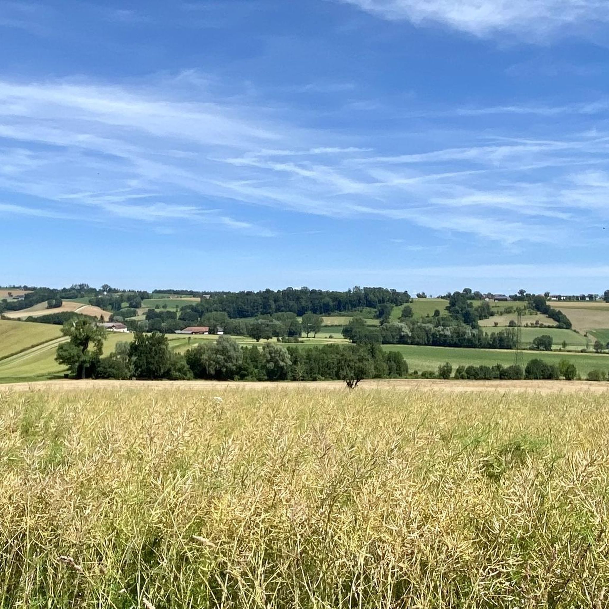
Best mountain peaks around Gunskirchen are found in a region characterized by its hilly landscape and views of the distant Alps. Gunskirchen itself is situated in a basin, surrounded by the foothills of the Hausruck mountains. The area offers various hiking routes and scenic vistas, providing opportunities to explore its natural beauty. The region provides a range of experiences, from accessible trails to more challenging ascents.
Best mountain peaks around Gunskirchen
- The most popular mountain peaks is Krailberg Summit Cross…
Last updated: June 26, 2026
Krailberg Summit Cross (504 m)
Highlight • Summit
Translated by Google •
Tip by

Linetwald
Highlight • Forest
Translated by Google •
Tip by
Sign up now to discover places like this
Get recommendations on the best single tracks, peaks, & plenty of other exciting outdoor places.
Sign up for free
Irrachhöhe
Highlight • Viewpoint
Translated by Google •
Tip by

Krailberg Summit and Survey Point
Highlight • Summit
Translated by Google •
Tip by

Krailberg Summit (504 m) – Highest Point of Wels-Land District
Highlight • Summit
Translated by Google •
Tip by
Sign up for free to discover even more peaks around Gunskirchen.
Sign up for free
Already have an account?
Start today with a free account
Your next adventure awaits.
Login or Signup
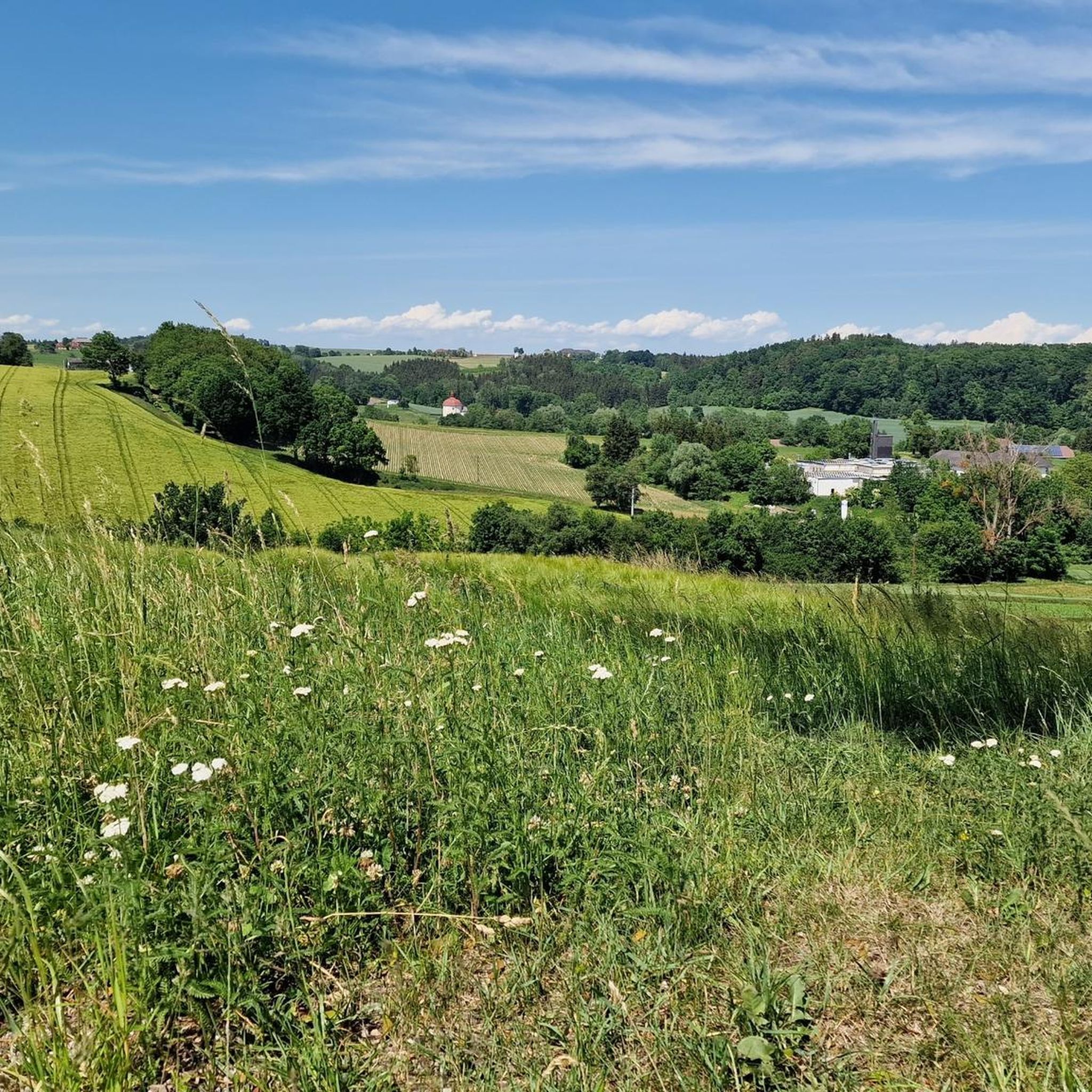
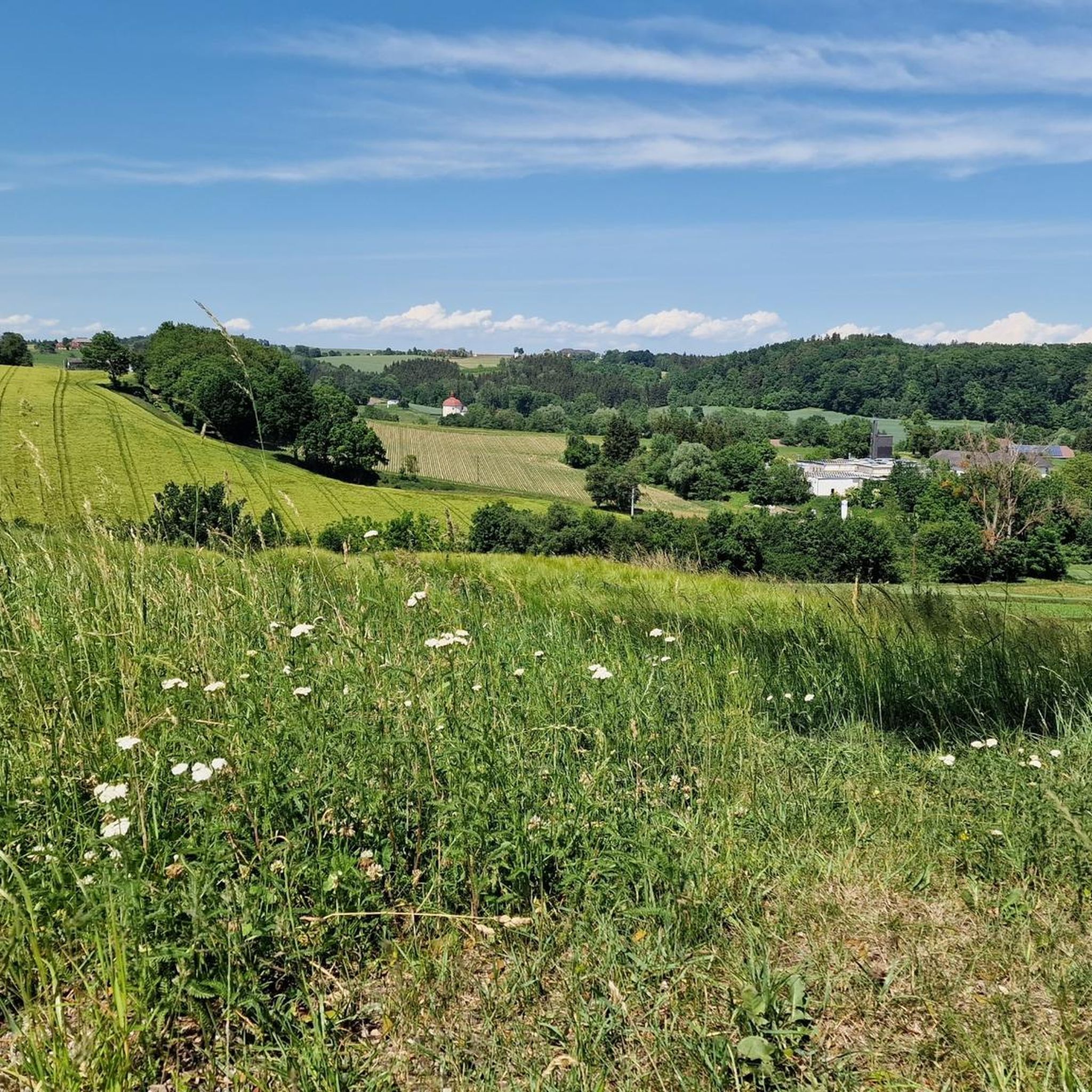
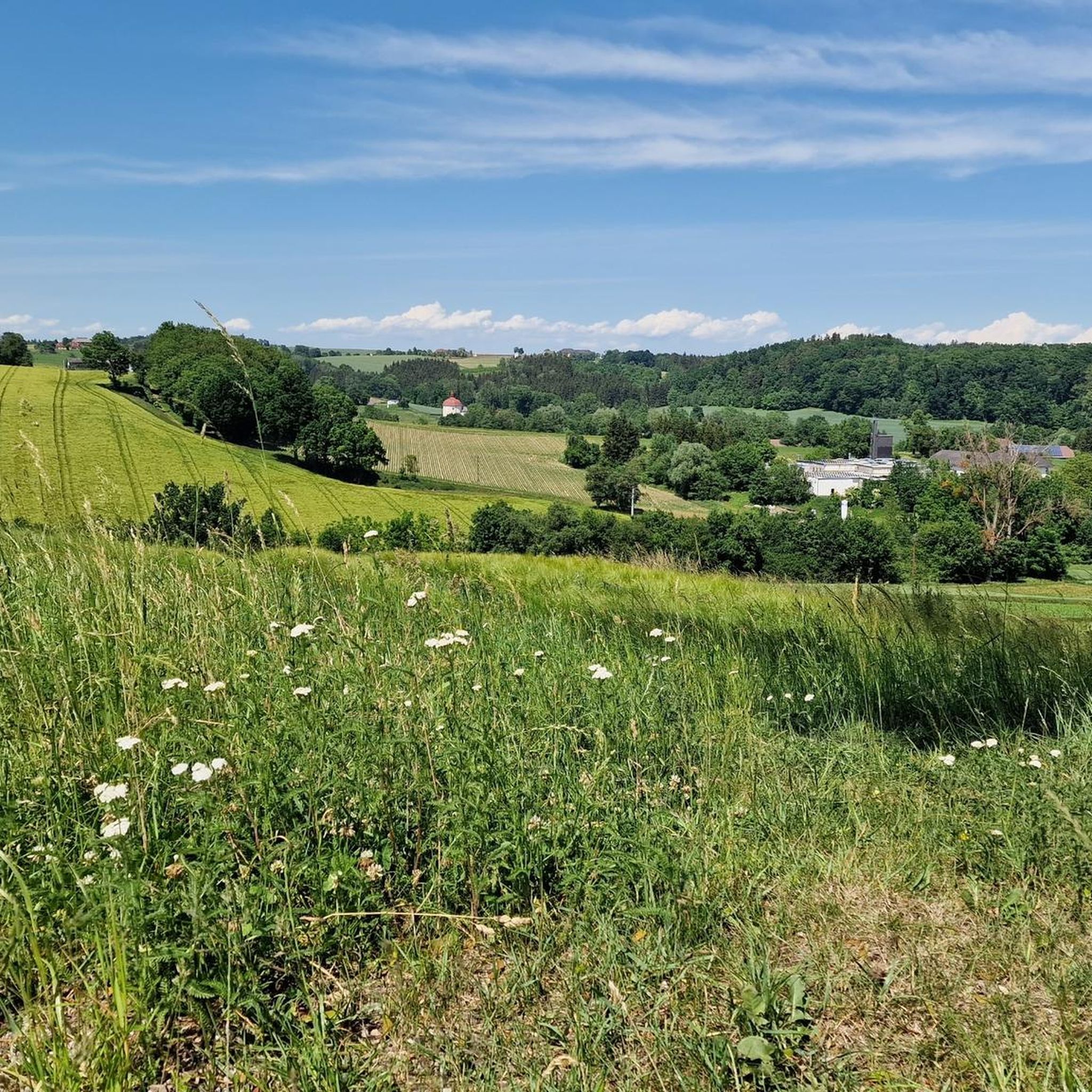
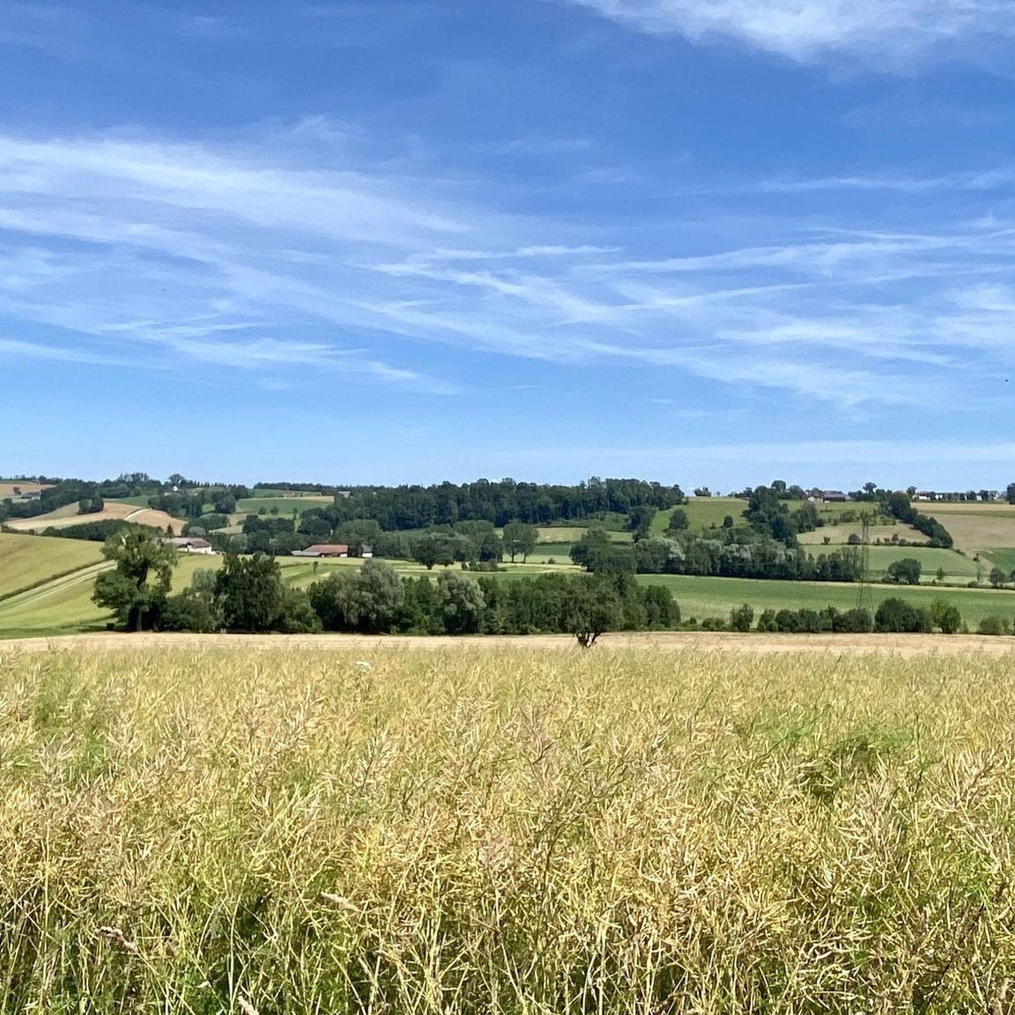
Tips from the Community


Halfway point of the Krailbergrunde, good rest stop
1
0

The highest point in the Wels-Land district is on the Steindlberg at 513m. That's 9m higher than the famous Krailberg.
1
0

The actual summit/surveying point is about 100m north of the summit cross and is recognizable by a marker stone
0
0
Coming from the south (vineyard), enter the forest, then turn left (do not go around the forest to the southwest, it will be difficult there), from the north (staffel) there are 2 steeper paths leading up, we used the left one around the outside, at the top it is then comfortably flat in the forest to the summit cross
0
0
Coming from the south (vineyard), enter the forest, then turn left (do not go around the forest to the southwest, it will be difficult there), from the north (staffel) there are 2 steeper paths leading up, we used the left one around the outside, at the top it is then comfortably flat in the forest to the summit cross
1
0

Krailberg is the highest point in the Wels-Land district with a height of 504 meters. It lies on the border of the communities of Bachmanning, Neukirchen and Pennewang. There is a summit cross on the Krailberg that was built in 2011. Krailberg is a popular destination for hikers who can enjoy beautiful hiking trails through picturesque forests. There are several routes to reach the summit, starting from various villages in the area. Some of the most recommended are: Hike from Bachmanning: This is a 9.5 km long hiking trail that starts from the Bachmanning town hall and passes the St. Leonhard Chapel and the Bachmanning Castle before reaching the summit of Krailberg. Hike from Neukirchen: This is a 7.5 km long circular route that starts from the Neukirchen multi-purpose hall and follows a forest road to the summit of the Krailberg. Hike from Pennewang: This is a 6.5 km long circular route that starts from the Pennewang church and crosses the fields and forests to the summit of the Krailberg.
2
3
Krailberg is a peak in Wels-Land, Austria, with an elevation of 504 meters. It is the highest point in the Wels-Land district, where the communities of Bachmanning, Neukirchen and Pennewang meet. There are several hiking trails leading to the summit, with varying degrees of difficulty. A popular starting point for a hike to Krailberg is Pennewang, where you can park at the community square. The hike lasts about 2 hours and 15 minutes and covers a distance of about 10 km with a vertical drop of 190 meters. The trail consists of asphalt roads, forest trails and gravel roads.
9
1
Frequently Asked Questions
Are there prominent mountain peaks directly within Gunskirchen?
Gunskirchen itself is situated in a basin surrounded by foothills, offering a hilly landscape rather than high, prominent mountain peaks directly within its municipal borders. However, the region provides various hiking routes and scenic views, with glimpses of the distant Alps.
What are some notable high points or peaks to explore near Gunskirchen?
The most popular high point is Krailberg Summit Cross (504 m), which marks the highest point of the Wels-Land district. Another significant area is Linetwald, representing the highest point in the Wels district. For extensive views, the Gmundnerberg, though not directly in Gunskirchen, rises majestically nearby and offers breathtaking panoramas.
What kind of views can I expect from the peaks and high points around Gunskirchen?
From high points like the Krailberg Summit Cross (504 m), you can enjoy beautiful scenery and expansive views of the surrounding landscape. The Irrachhöhe offers a great view towards the city of Wels and the Trauntal. On clear days, from areas like Gmundnerberg, you can even see as far as the Alps.
Are there family-friendly options for exploring the high points near Gunskirchen?
Yes, some areas are suitable for families. The Irrachhöhe is categorized as family-friendly. Additionally, the region around Gunskirchen offers numerous hiking trails, including the child-friendly Roman Trail, providing varied tours through picturesque surroundings.
What is the highest point in the Wels-Land district?
The highest point in the Wels-Land district is the Krailberg Summit Cross (504 m). It is a popular hiking destination located on the border between the communities of Bachmanning, Neukirchen, and Pennewang.
Can I find hiking trails around these high points?
Absolutely. The region is a paradise for hiking enthusiasts. The Linetwald, for instance, is traversed by a hiking trail. You can find many routes, from easy to moderate, such as the 'Breitenbach River Crossing – Streichwehr Schwarze Hütte loop' or 'Hexenhaus – Gunskirchen Loop Trail'. For more options, explore hiking around Gunskirchen.
Are there options for cycling or mountain biking near the high points?
Yes, the area around Gunskirchen offers various routes for cycling and mountain biking. You can find easy to moderate cycling tours like the 'Thalheim (near Wels) Cycle Bridge – Traun Bridge, Wels loop' or mountain bike trails such as the 'Roman Bridge – Traun Bridge, Wels loop'. Discover more routes for cycling around Gunskirchen and MTB trails around Gunskirchen.
What makes the Linetwald area significant?
The Linetwald is significant as it represents the highest point in the Wels district. It is also the largest forest in Wels and features a hiking trail, making it a notable spot for nature exploration.
What do visitors enjoy most about the high points around Gunskirchen?
Visitors particularly enjoy the beautiful scenery and the panoramic views offered from various high points. The comfortably flat sections in the forest leading to the summit cross at Krailberg Summit (504 m) are also appreciated. The overall natural beauty and varied hiking opportunities are highly valued.
Are there any specific tips for reaching the Krailberg Summit?
When coming from the south (vineyard), enter the forest and then turn left to reach the summit cross. From the north (Staffel), there are two steeper paths leading up. The area features comfortably flat sections in the forest as you approach the summit cross.
Is the actual summit of Krailberg the same as the summit cross?
No, the actual summit or surveying point of Krailberg is located approximately 100 meters north of the summit cross. It can be identified by a marker stone.
What is the best time of year to visit the high points around Gunskirchen?
While specific data isn't provided, the region's lush green meadows and fragrant flower fields suggest that spring and summer offer vibrant natural beauty for hiking. Clear days in autumn would also provide excellent visibility for panoramic views of the distant Alps.
Most popular routes around Gunskirchen
Most popular attractions around Gunskirchen

Get inspired with the komoot mobile app


Explore more
See even more amazing summits around Gunskirchen with these guides:
