The 4 Most Amazing Peaks around Crewkerne
Best mountain peaks around Crewkerne are primarily significant hills within the local topography, offering diverse outdoor opportunities. The area of South Somerset features a landscape of gentle hills, with elevations reaching up to 279 meters. These locations provide scenic views, historical exploration, and various walking routes. The region is characterized by its natural beauty and historical depth, making it suitable for outdoor activities.
Best mountain peaks around Crewkerne
- The most popular mountain peaks is Pilsdon Pen Summit and Trig Point…
Last updated: June 28, 2026
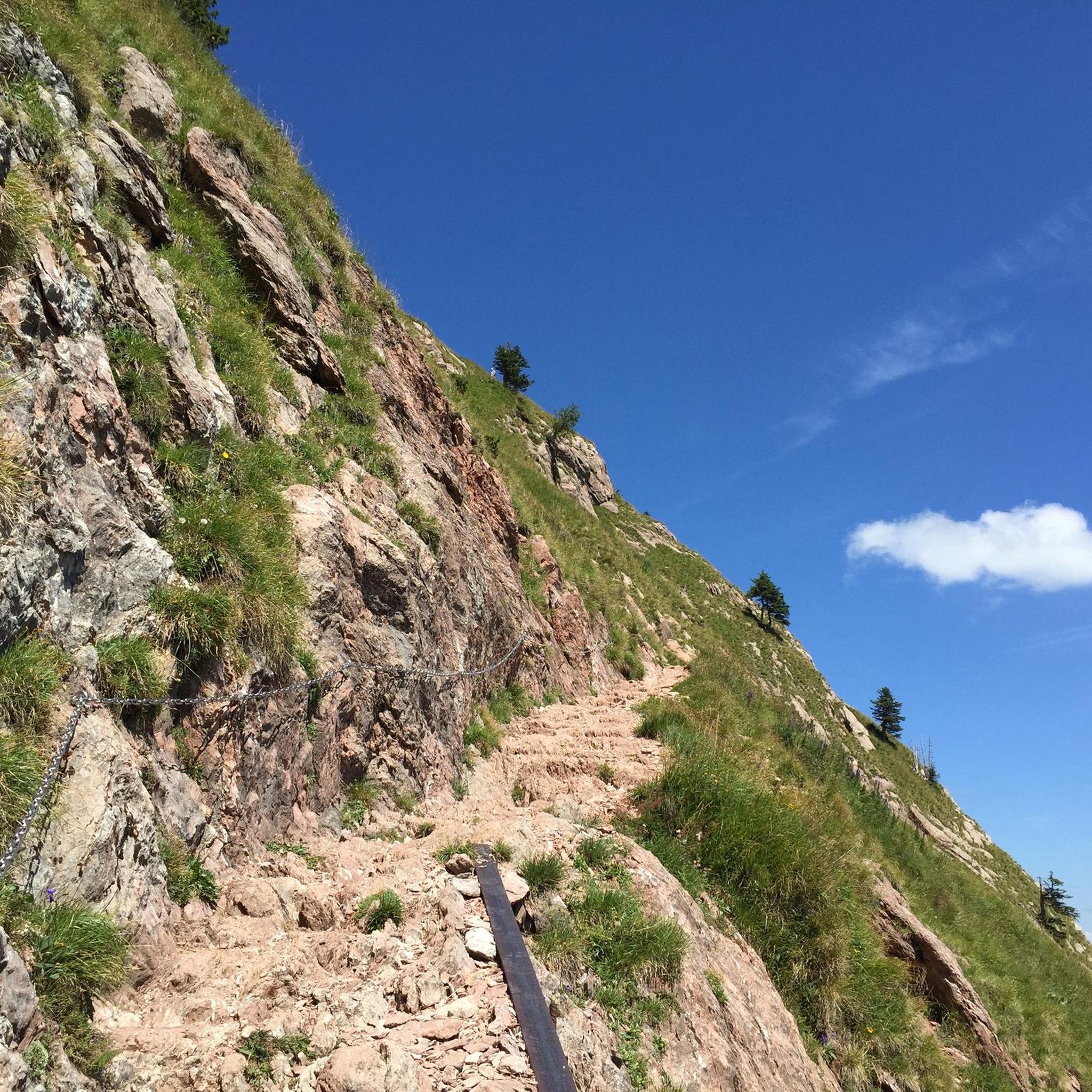
Pilsdon Pen Summit and Trig Point
Highlight • Natural Monument
Tip by

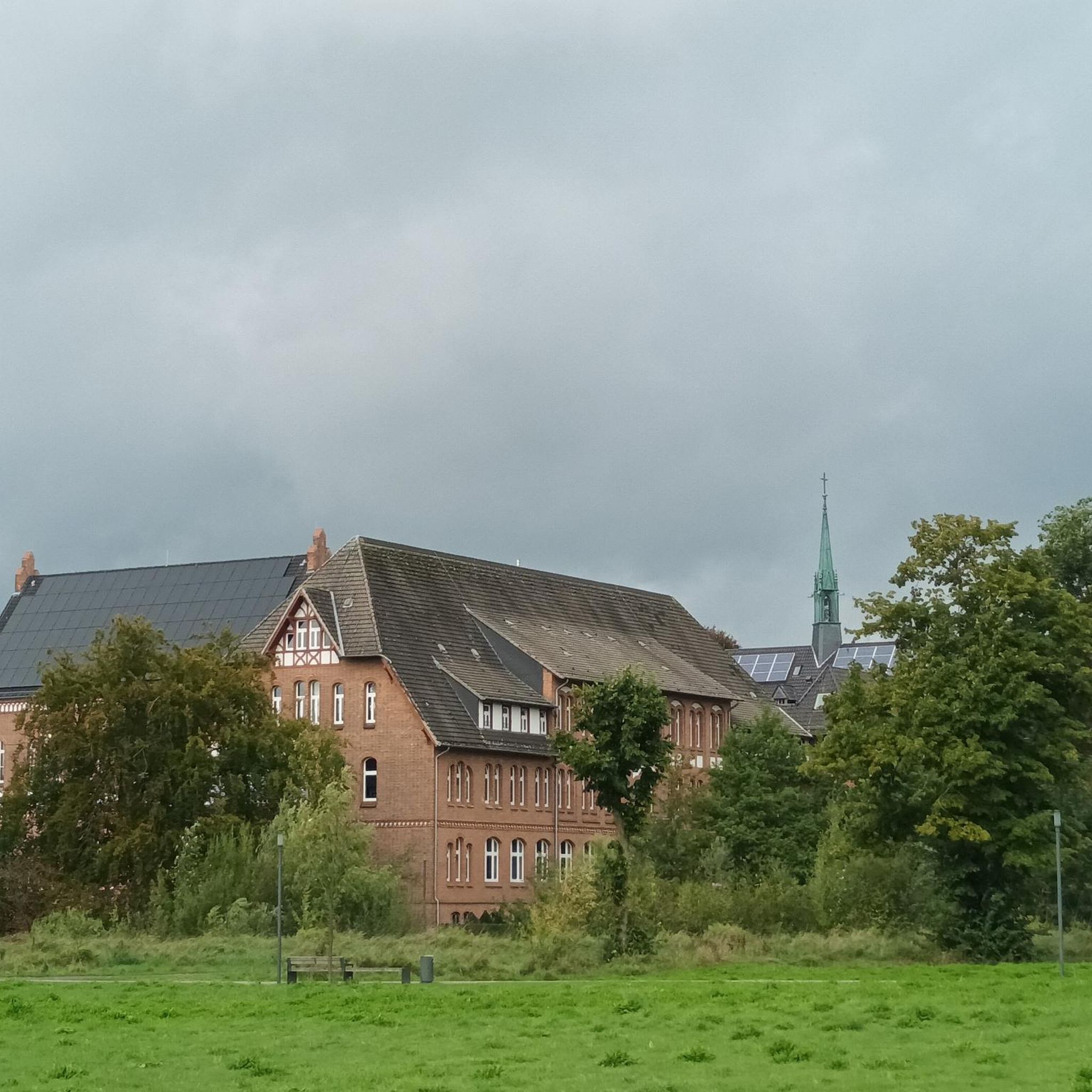
St Michael's Tower on St Michael's Hill
Highlight • Historical Site
Tip by
Sign up now to discover places like this
Get recommendations on the best single tracks, peaks, & plenty of other exciting outdoor places.
Sign up for free
View of Pilsdon Pen
Highlight • Viewpoint
Tip by

Lewesdon Hill
Highlight • Viewpoint
Tip by
View of Waddon Hill
Highlight • Historical Site
It has a Roman fort of the Second Legion on a narrow east-west ridge, at an elevation of 210 meters.
Tip by

Sign up for free to discover even more peaks around Crewkerne.
Sign up for free
Already have an account?
Start today with a free account
Your next adventure awaits.
Login or Signup

Tips from the Community

From the Pilsdon Pen car park, you are treated to a stunning, sweeping panorama of West Dorset’s rolling hills. Looking south, the lush Marshwood Vale opens up dramatically, framed by distant coastal ridges near Charmouth. It is an expansive, breathtaking introduction to the landscape before you even begin the hill climb.
0
0
From the trig point at Pilsdon Pen summit, you get spectacular, wide-open views across Dorset. Looking south, the eye sweeps over the lush farmlands and rolling hills of the Marshwood Vale, extending all the way down to Bridport and the dramatic cliffs of the Jurassic Coast.
0
0


At an elevation of 915 feet (279 meters), this is the highest point in Dorset, from where you can take in the beautiful surrounding countryside through the trees. For a long time, it was believed that Pilsdon Pen was the highest point in Dorset, but relatively recently, it was discovered that Lewesdon Hill stands two meters higher.
0
0
The summit of this hill represents the second highest point in Dorset, and from here, you'll have breathtaking panoramic views. At the top, there was an Iron Age hillfort, which was excavated in the mid-20th century.
0
0
This hill takes its name from the Old English, meaning 'wheat hill.' It has a Roman fort of the Second Legion on a narrow east-west ridge, at an elevation of 210 meters.
0
0

you could do a short walk up onto one of the highest points in Dorset
0
0

The second-highest point in Dorset, Pilsdon Pen has the remains of an Iron Hill hillfort astride it as well as some magnificent views. By bike, you can get fairly close to the top although the actual summit is only accessible on foot via a footpath. Still, from the lane here you can enjoy the beautiful surroundings.
1
0
Frequently Asked Questions
What are the most popular hills and peaks around Crewkerne?
The most popular spots include Pilsdon Pen Summit and Trig Point, known for its Iron Age fort and panoramic views, and St Michael's Tower on St Michael's Hill, which offers stunning views over Montacute and features an 18th-century folly. Lewesdon Hill, the highest point in Dorset, is also highly rated for its expansive views and historical remains.
What kind of historical sites can I explore on these hills?
The hills around Crewkerne are rich in history. You can find Iron Age hill forts at Pilsdon Pen and Lewesdon Hill. St Michael's Hill was once the site of a Norman castle and now features an 18th-century folly. Additionally, Waddon Hill hosts the remains of a Roman fort.
Are there any hills with notable viewpoints near Crewkerne?
Yes, many of the hills offer excellent viewpoints. Pilsdon Pen provides breathtaking panoramic views over the rolling Dorset countryside, including Golden Cap and the ocean. St Michael's Hill offers serene views over Montacute village and the Somerset countryside. Lewesdon Hill reveals views stretching over Dorset, Devon, Somerset, and out to sea.
What are the best hiking trails near these peaks?
You can find a variety of hiking trails near the peaks around Crewkerne. For moderate walks, consider routes like the 'Hiking loop from Merriott' or the 'River Parrett loop from North Perrott'. If you're looking for easier options, there are routes such as the 'Wayford Woods – Magdalen Farm loop from Wayford'. Explore more options on the Hiking around Crewkerne guide.
Are there family-friendly walking options on the hills around Crewkerne?
While specific 'family_friendly' tags are not prominent for these peaks, many of the hills offer accessible paths suitable for families. For example, the walks around Ham Hill Country Park combine natural beauty with historical interest on well-maintained trails. For easier, shorter walks, check the Easy hikes around Crewkerne guide.
Can I bring my dog to these hills and peaks?
Most of the hills and their surrounding trails are dog-friendly, provided dogs are kept under control, especially near livestock. Places like Ham Hill Country Park are popular with dog walkers. Always check local signage for specific restrictions, particularly in nature reserves or areas with ground-nesting birds.
What is the highest point in the Crewkerne area?
The highest point in the immediate Crewkerne area is Lewesdon Hill, standing at 915 feet (279 meters). It offers expansive views and is a significant natural landmark.
What natural features can I expect to see on these hills?
You'll encounter diverse natural features, from the ancient woodlands and bluebells of Lewesdon Hill to the calcareous grassland and ancient oak woodland of Dundon Hill. Many areas feature rolling countryside, open fields, and unique geological formations like the limestone quarries at Ham Hill.
Are there cycling routes near the hills around Crewkerne?
Yes, there are several cycling routes in the vicinity. You can find challenging routes like the 'North Curry Village Square – Somerset Levels loop' or the 'The Cobb, Lyme Regis – Bottle Inn loop'. For more options, refer to the Cycling around Crewkerne guide.
What makes Pilsdon Pen a significant place to visit?
Pilsdon Pen is significant for several reasons: it's the second highest point in Dorset, offers breathtaking panoramic views, and features the remains of an Iron Age hill fort where flint tools dating back 10,000 years have been found. It's also cared for by the National Trust.
When is the best time to visit the hills around Crewkerne?
The hills are beautiful year-round, but spring and autumn offer particular charm. In spring, woodlands like Lewesdon Hill erupt with bluebells. Autumn brings golden leaves and fungi, making for enchanting walks. Clear days in any season provide the best conditions for enjoying the panoramic views.
What is unique about Burrow Mump?
Burrow Mump is unique for its prominent rise from the flat Somerset Levels, topped with a Grade I listed ruined church. At 79 feet (24 meters) high, it stands out dramatically and can appear as an island during winter floods, similar to Glastonbury Tor. It offers distinctive views over the Levels and holds historical significance.
Most popular attractions around Crewkerne

Get inspired with the komoot mobile app


Explore more
See even more amazing summits around Crewkerne with these guides:
