Top 20 Natural Monuments in the Kaibab Plateau
Best natural monuments in the Kaibab Plateau include an expansive forested highland, serving as an ecological island with elevations up to 9,200 feet. This region is characterized by dense coniferous forests, unique wildlife like the Kaibab squirrel, and significant geological formations such as the Kaibab Limestone. The plateau forms the northern edge of the Grand Canyon, providing panoramic vistas and a direct connection to its dramatic geological history. Fossils of marine organisms can be found, linking the landscape to ancient…
Last updated: October 13, 2026
Cedar Ridge
Highlight • Viewpoint
Tip by

Rim Trail (Grand Canyon National Park)
Highlight (Segment) • Trail
Tip by

Sign up now to discover places like this
Get recommendations on the best single tracks, peaks, & plenty of other exciting outdoor places.
Skeleton Point
Highlight • Viewpoint
Tip by
Havasupai Gardens
Highlight • Rest Area
Tip by
Mohave Point
Highlight • Viewpoint
Tip by
Powell Point
Highlight • Viewpoint
Tip by
Pipe Creek Beach on the Colorado River
Highlight • Beach
Tip by
Yavapai Point and Geology Museum
Highlight • Viewpoint
Translated by Google •
Tip by

Bright Angel Point
Highlight • Viewpoint
Tip by
Pima Point
Highlight • Viewpoint
Tip by
Sign up for free to discover even more natural monuments in the Kaibab Plateau.
Already have an account?
Start today with a free account
Your next adventure awaits.
Popular around Kaibab Plateau

Arizona Trail — A beautiful 800-mile struggle

The Arizona Trail — From Mexico to Utah in 43 days
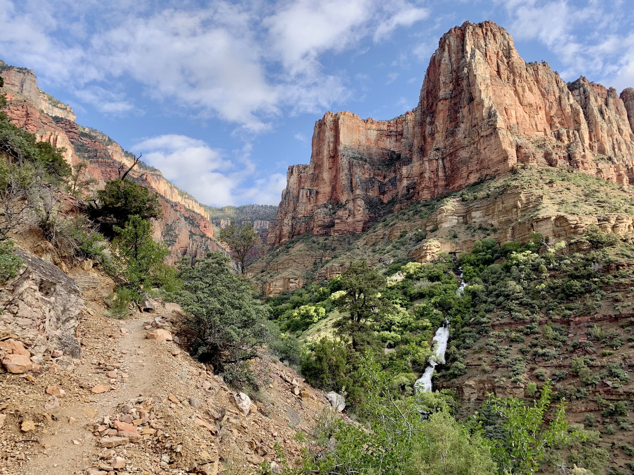
Rim-to-Rim-to-Rim – top to bottom through the Grand Canyon
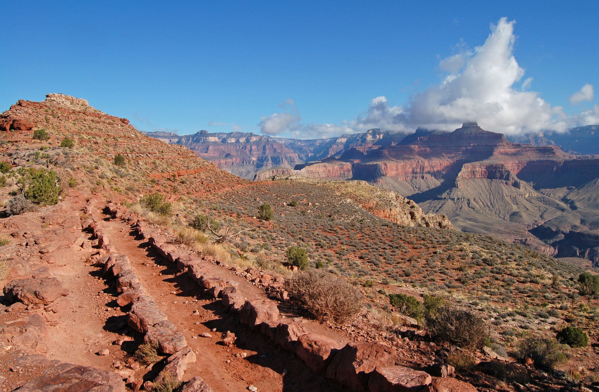
Rim-to-Rim-to-Rim — Fastpacking into the Grand Canyon’s heart
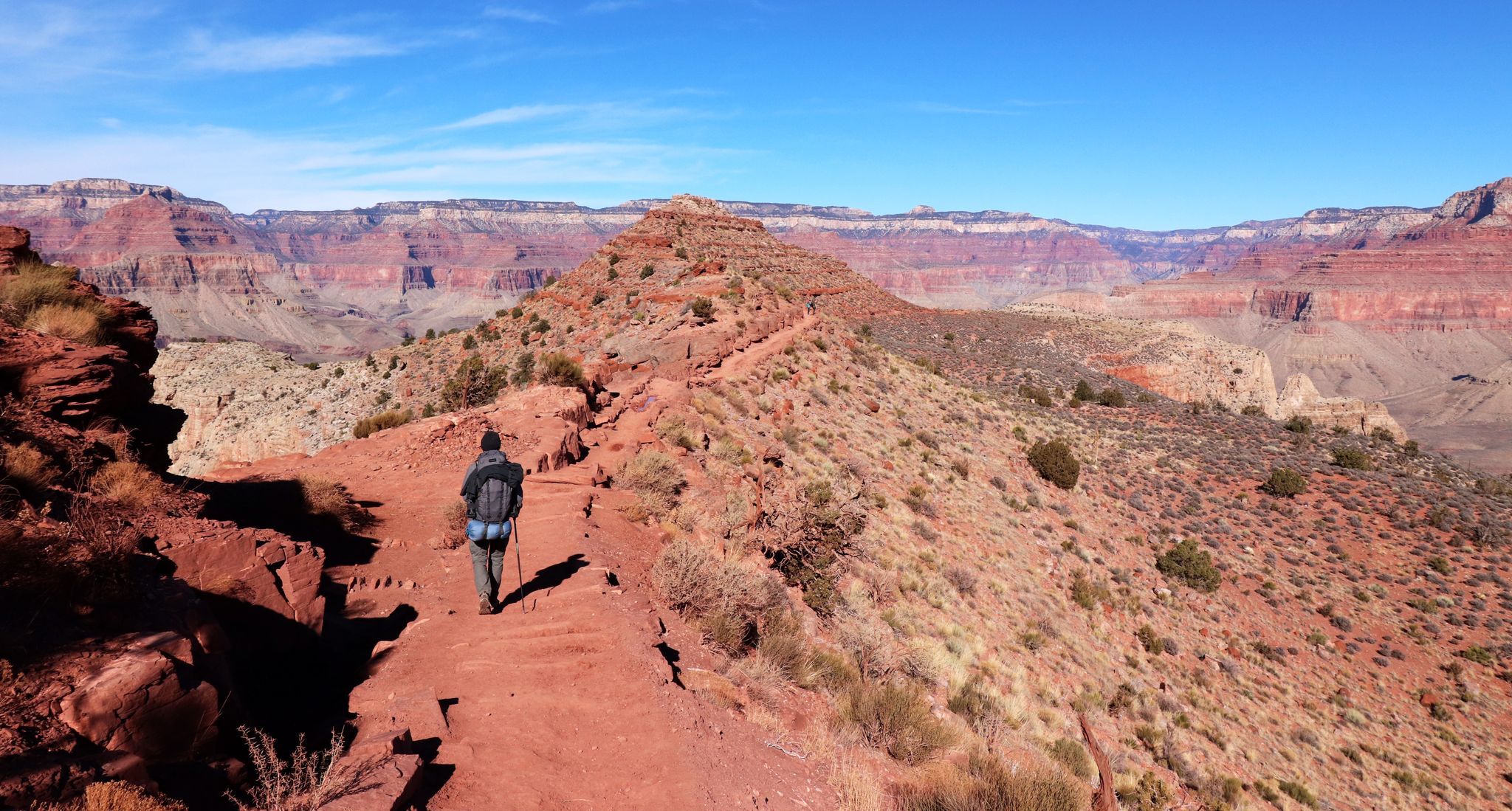
An unforgettable winter hike through the Grand Canyon
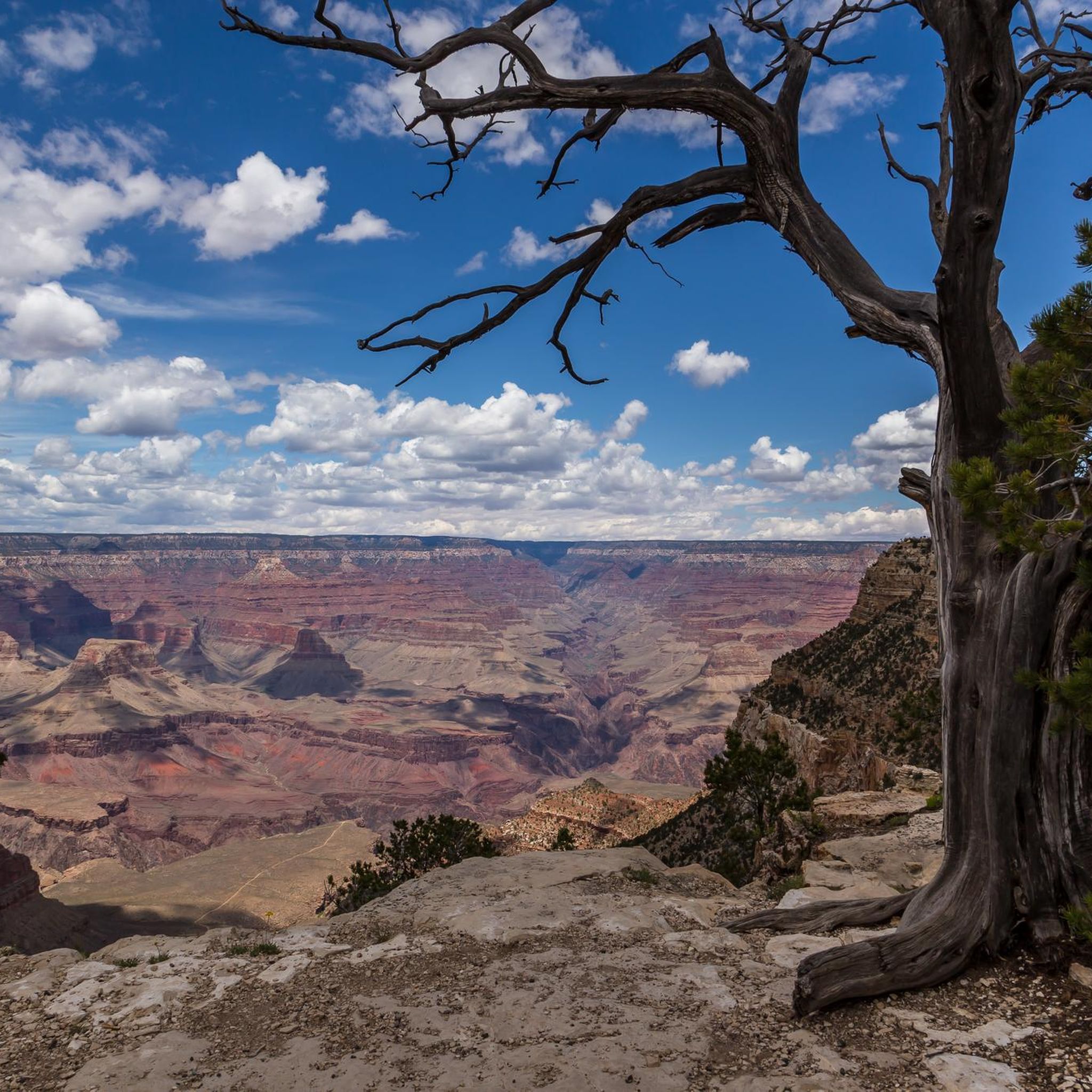
Hiking in the Kaibab Plateau
MTB Trails in the Kaibab Plateau
Cycling in the Kaibab Plateau
Road Cycling Routes in the Kaibab Plateau
Running Trails in the Kaibab Plateau
Other adventures in the Kaibab Plateau


Tips from the Community

You can only recommend walking a few meters on this path in front of this breathtaking scenery. It's worth it.
0
0

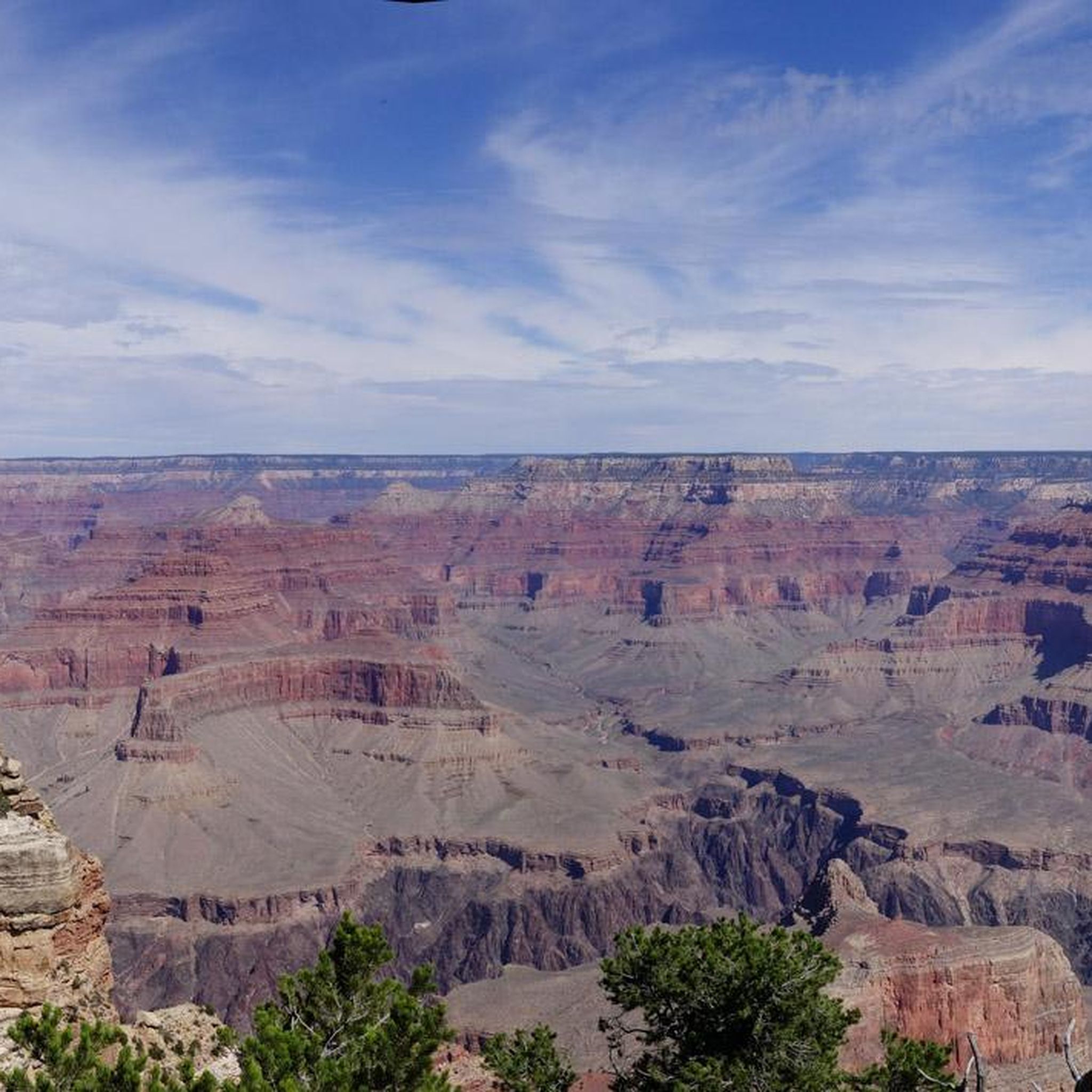
Mohave Point offers incredible views over the Grand Canyon, especially at sunset. You’ll also get a perfect view of the Tonto Trail winding deep into the canyon. The trail to the very tip of the point isn’t paved, so you can stop your bike and take a short hike to check it out.
0
0

At Pima Point, you can both see and hear the rumbling Colorado River with the Hermit Rapids in sight.
1
0

The view doesn’t get much better than that from the plate-glass windows of this small stone building, but weather permitting, be sure to take in the canyon’s splendor from the lookout just outside. There, you can hear, smell, and feel the canyon rather than just see it. Helpful panels in the museum explain the various formations unfolding before you, and displays (including a scale model) illuminate the canyon’s layered geologic history.
4
0

Powell Point, and the accompanying memorial, are dedicated to geologist John Wesley Powell, who made not one, but two river runs down the Grand Canyon in the 1800s. The views here are stunning, and there's a shuttle bus stop if you don't want to run a full round trip. The trail is also paved between here and Mather Point; run to the west if you want a narrower, more rugged trail that runs closer to the edge of the canyon.
2
0
We're all here for the incredible panoramic views; the elevation gain to get here also makes this a satisfying turnaround point if you're out for a short run. There is a pit toilet here (no running water). Use with caution and consider noseplugs. Hopefully it goes without saying that heat is a serious consideration here, as is lack of water (there is none available on the ridge).
0
0

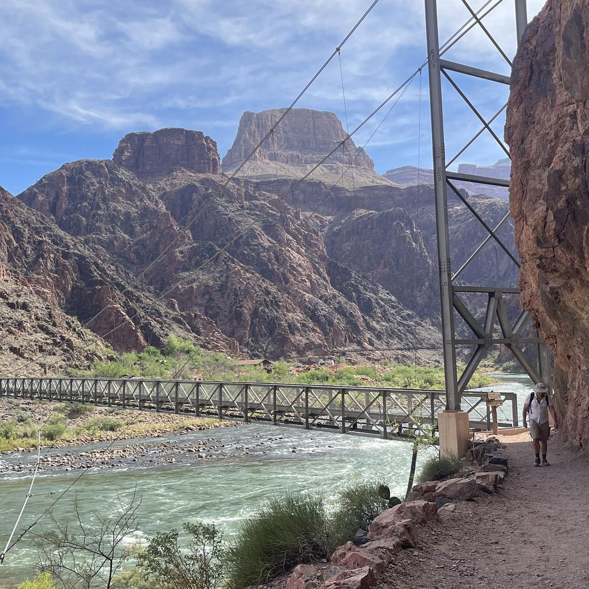
Nice small beach along the Colorado River. It is a popular stop for rafters going down the Colorado River. For hikers, it will take an almost 8-mile trek along the Bright Angel Trail to reach the beach.
0
0
Frequently Asked Questions
What unique natural features define the Kaibab Plateau?
The Kaibab Plateau is an expansive forested highland, often called an "ecological island," rising up to 9,200 feet. It's characterized by dense coniferous forests of ponderosa pine, aspen, Douglas fir, and Engelmann spruce, contrasting sharply with the surrounding desert. It also features significant geological formations like the Kaibab Limestone, which caps the plateau and forms the uppermost layer of the Grand Canyon.
What kind of wildlife can I expect to see in the Kaibab Plateau?
The Kaibab Plateau is home to diverse wildlife, including the endemic Kaibab squirrel, a unique subspecies found only here. You can also frequently spot mule deer, wild turkey, cougar, and bobcat within its dense forests.
What are some of the most scenic viewpoints in the Kaibab Plateau?
The Kaibab Plateau offers numerous breathtaking viewpoints, especially along the Grand Canyon's North Rim. Popular spots include Cedar Ridge, a convenient turning point for day hikes with canyon views, and Mohave Point, renowned for its stunning sunset views over the Grand Canyon. Skeleton Point also offers gorgeous vistas into the canyon after a strenuous hike.
What geological history is evident in the natural monuments of the Kaibab Plateau?
The region's geology tells a dramatic story. The Kaibab Limestone, which forms the plateau's surface, was deposited approximately 270 million years ago at the bottom of a shallow inland sea. Its presence at high elevations demonstrates the immense tectonic uplift that formed the Colorado Plateau and the Grand Canyon. Fossils of marine organisms can still be found embedded in its rocks, offering a tangible connection to a prehistoric world.
Are there any cultural or historical sites among the natural monuments?
Yes, the Yavapai Point and Geology Museum offers insights into the region's natural and human history. Additionally, the Keyhole Sink Trail, located in the Kaibab National Forest, features ancient petroglyphs, providing a glimpse into the cultural significance of the area for early inhabitants.
Are there family-friendly natural monuments to visit in the Kaibab Plateau?
Several natural monuments are suitable for families. Mohave Point, Powell Point, Yavapai Point, and Bright Angel Point are all categorized as family-friendly viewpoints, offering accessible ways to experience the Grand Canyon's grandeur.
Are there accessible natural monuments or trails in the Kaibab Plateau?
Yes, the Rim Trail in Grand Canyon National Park is largely paved and wheelchair accessible from Lookout Studio to the South Kaibab Trailhead. Powell Point is also noted as wheelchair accessible, providing inclusive options for enjoying the natural beauty.
What is the best time of year to visit the natural monuments of the Kaibab Plateau?
The Kaibab Plateau experiences cooler temperatures compared to the surrounding desert, making late spring, summer, and early fall ideal. Summer monsoons can bring refreshing rain, while the fall foliage offers spectacular colors. Winter visits are possible but require preparation for snow and colder conditions.
What hiking opportunities are available near the natural monuments?
The region offers extensive hiking. You can explore trails like the Rim Trail for easy walks with canyon views, or embark on more challenging descents to spots like Skeleton Point. For more options, explore the Mountain Hikes in the Kaibab Plateau guide or the Running Trails in the Kaibab Plateau guide.
Are there options for cycling near the Kaibab Plateau natural monuments?
Yes, the Kaibab Plateau offers several road cycling routes. You can find options like the Grand Canyon Rim Trail or longer rides such as Grand Canyon Village to Desert View Point. For detailed routes and difficulty levels, refer to the Road Cycling Routes in the Kaibab Plateau guide.
What are some challenging hikes to natural monuments in the Kaibab Plateau?
For a challenging experience, the strenuous out-and-back tour to Skeleton Point via the South Kaibab Trail is highly recommended. Another demanding option is the hike to Pipe Creek Beach on the Colorado River, which involves a significant descent into the canyon. Remember to carry plenty of water as there is no shade or water source on many of these trails.
Where can I find a place to rest or camp during a longer hike?
During longer hikes into the canyon, Havasupai Gardens (formerly Indian Garden) provides a welcome respite. It's a nice shady spot with restrooms and a year-round water spigot, and it's a popular campsite for those with permits.
Most popular routes in the Kaibab Plateau
Most popular attractions in the Kaibab Plateau

Get inspired with the komoot mobile app


Explore more
Extend your search for the best caves by checking out these guides of the top ones in the Kaibab Plateau:
