The 6 Most Amazing Peaks around Thornton-Le-Dale
Best mountain peaks around Thornton-Le-Dale are characterized by elevated areas and prominent hills within the North York Moors National Park and Dalby Forest. This picturesque village in North Yorkshire offers numerous walking opportunities across undulating landscapes. The region provides excellent views and invigorating walks, featuring diverse terrain and natural beauty. Visitors can explore a variety of elevated forest tracks, ridges, and open moorland.
Best mountain peaks around Thornton-Le-Dale
- The most popular mountain peaks is Simon Howe Bronze Age Cairn,…
Last updated: July 13, 2026
Simon Howe Bronze Age Cairn
Highlight • Viewpoint
Tip by

Dalby Forest Crossroads Rest Area
Highlight • Forest
Tip by
Sign up now to discover places like this
Get recommendations on the best single tracks, peaks, & plenty of other exciting outdoor places.
Sign up for free
Spires Bank Summit
Highlight • Viewpoint
Tip by

High Woof Howe (Derwent Head Rigg) Summit
Highlight • Summit
(Hill ID: 512579) [JNSA s10481]
County of Yorkshire Definitive List summit.
North York Moors National Park Definitive List summit
Tip by

Riseborough Hill Summit
Highlight • Summit
TP5691 - Riseborough S6905
County of Yorkshire Trig Pillar
County of Yorkshire Definitive List Summit
Tip by
Sign up for free to discover even more peaks around Thornton-Le-Dale.
Sign up for free
Already have an account?
Start today with a free account
Your next adventure awaits.
Login or Signup
Popular around Thornton-Le-Dale
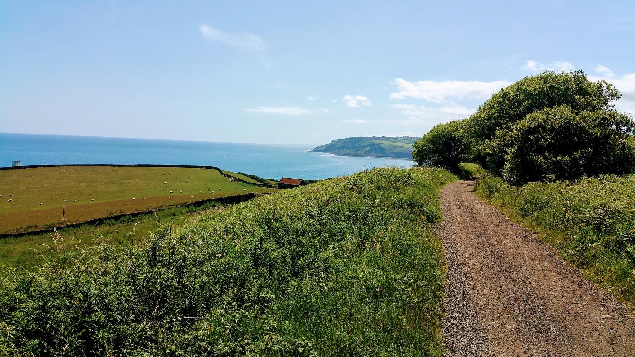
Gravel Cycling in North York Moors National Park
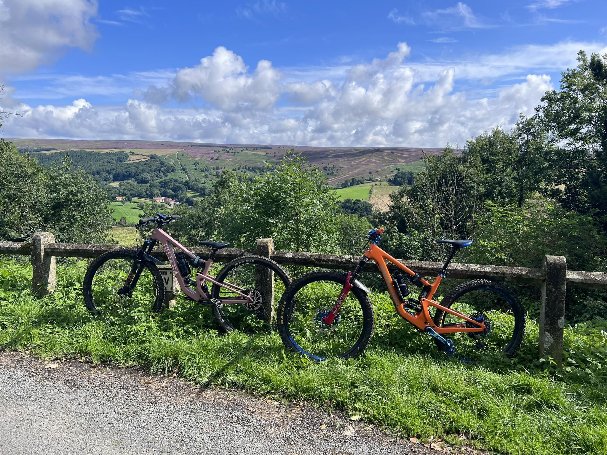
MTB Trails in the North York Moors National Park
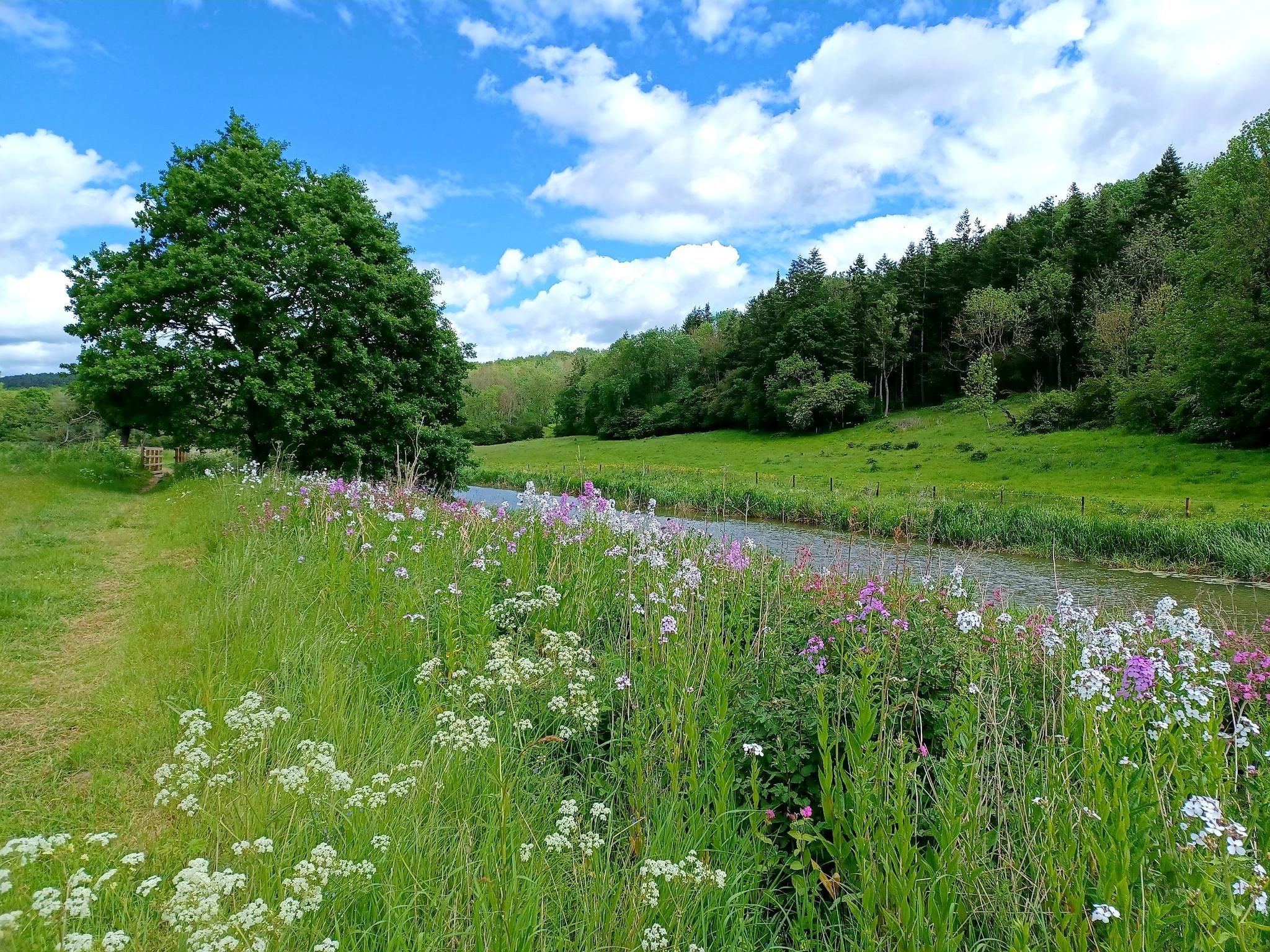
Hike 'God's Own County' – White Rose Way
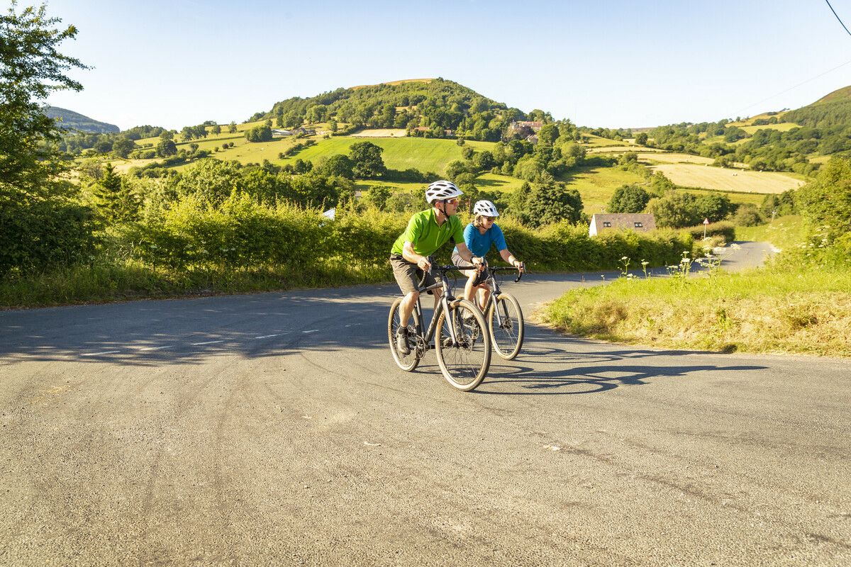
North York Moors National Park Cycle Routes
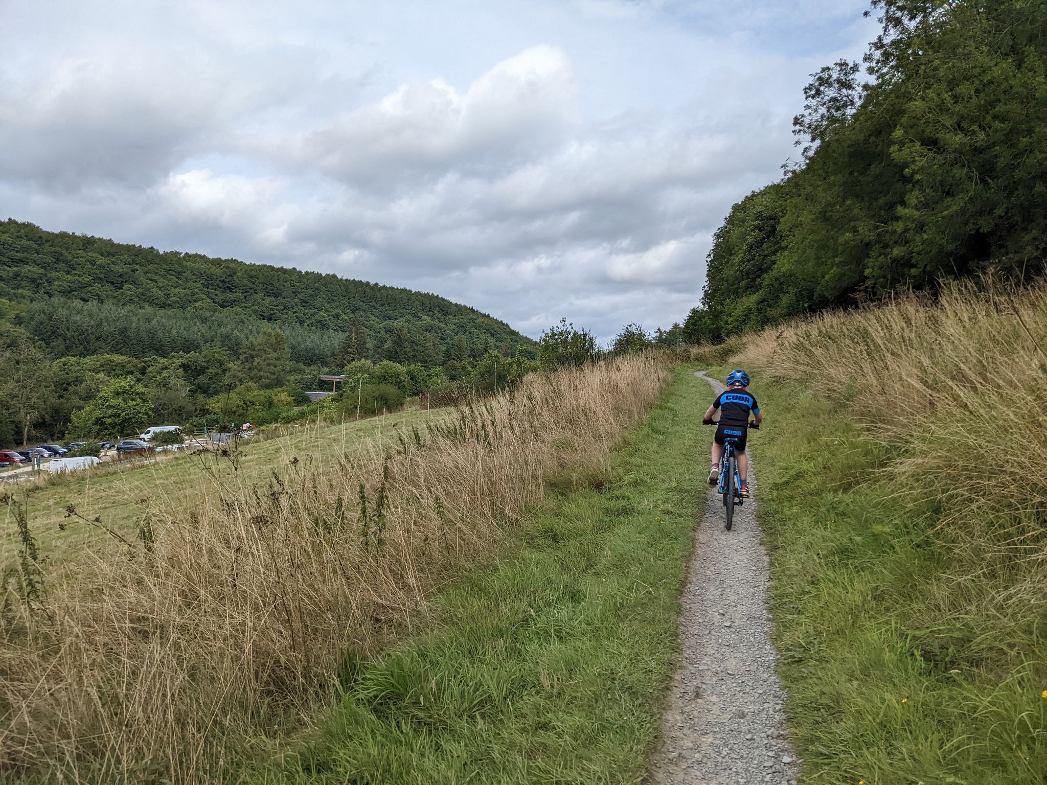
Cycling and MTB trails at Dalby Forest
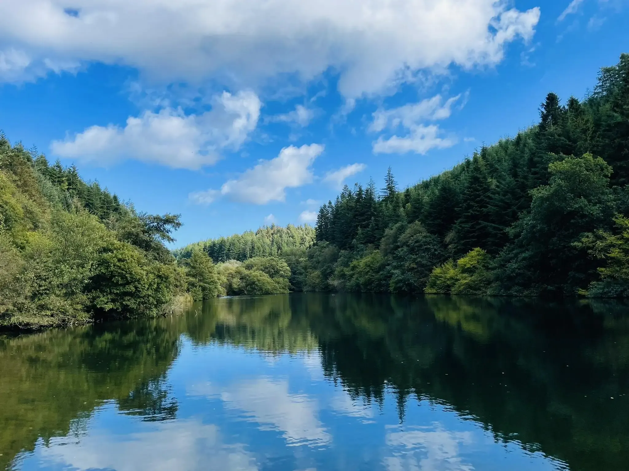
Walking and running trails at Dalby Forest
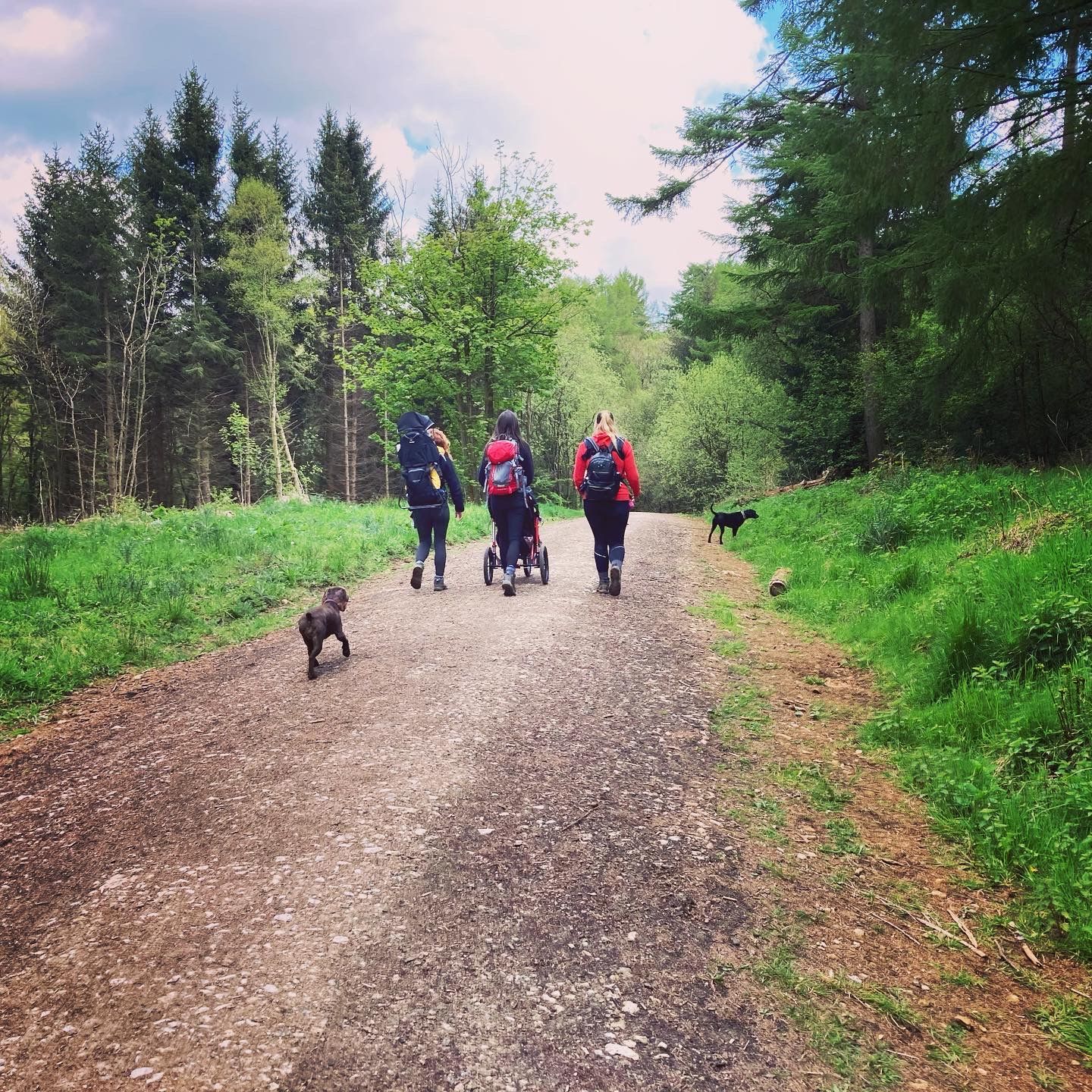
Lovely pushchair friendly walks in and around the North York Moors
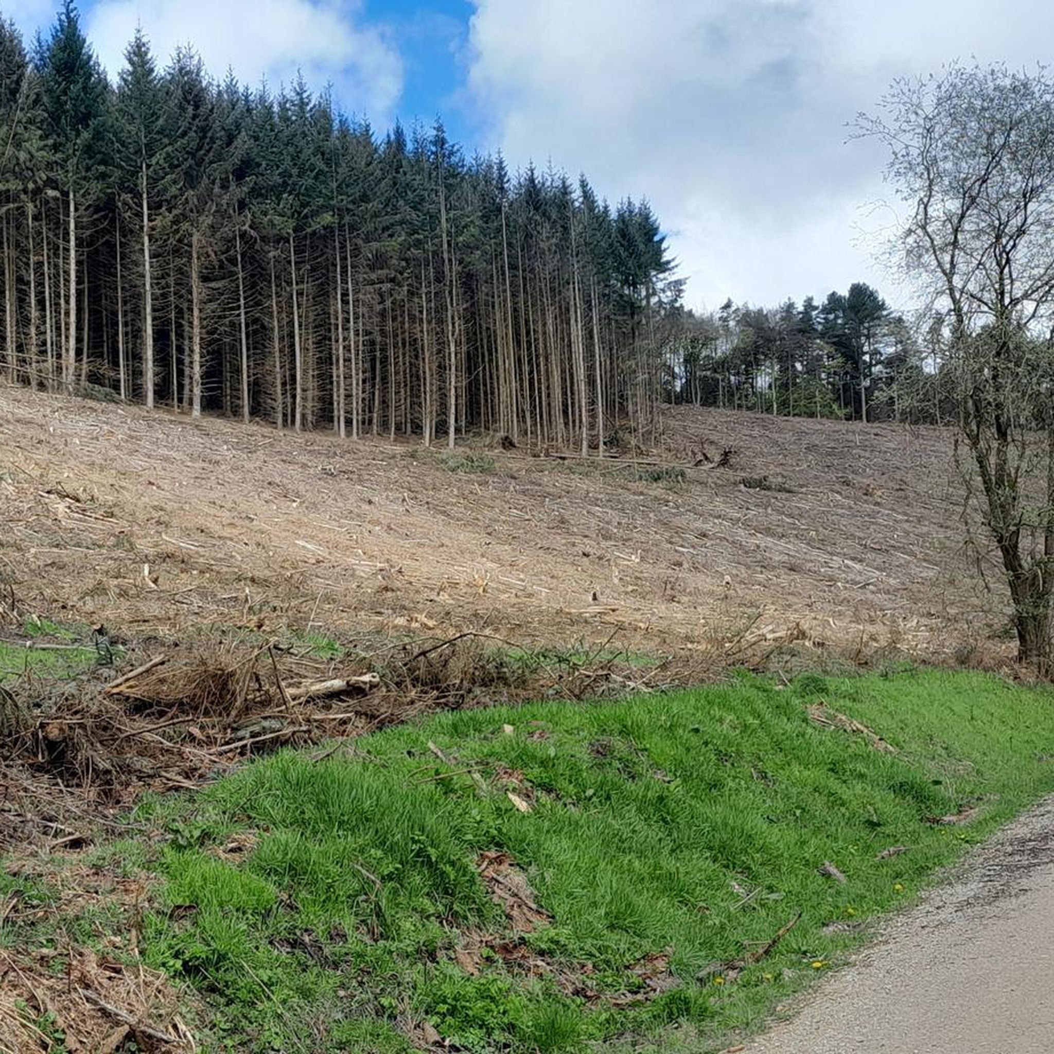
MTB Trails around Thornton-Le-Dale
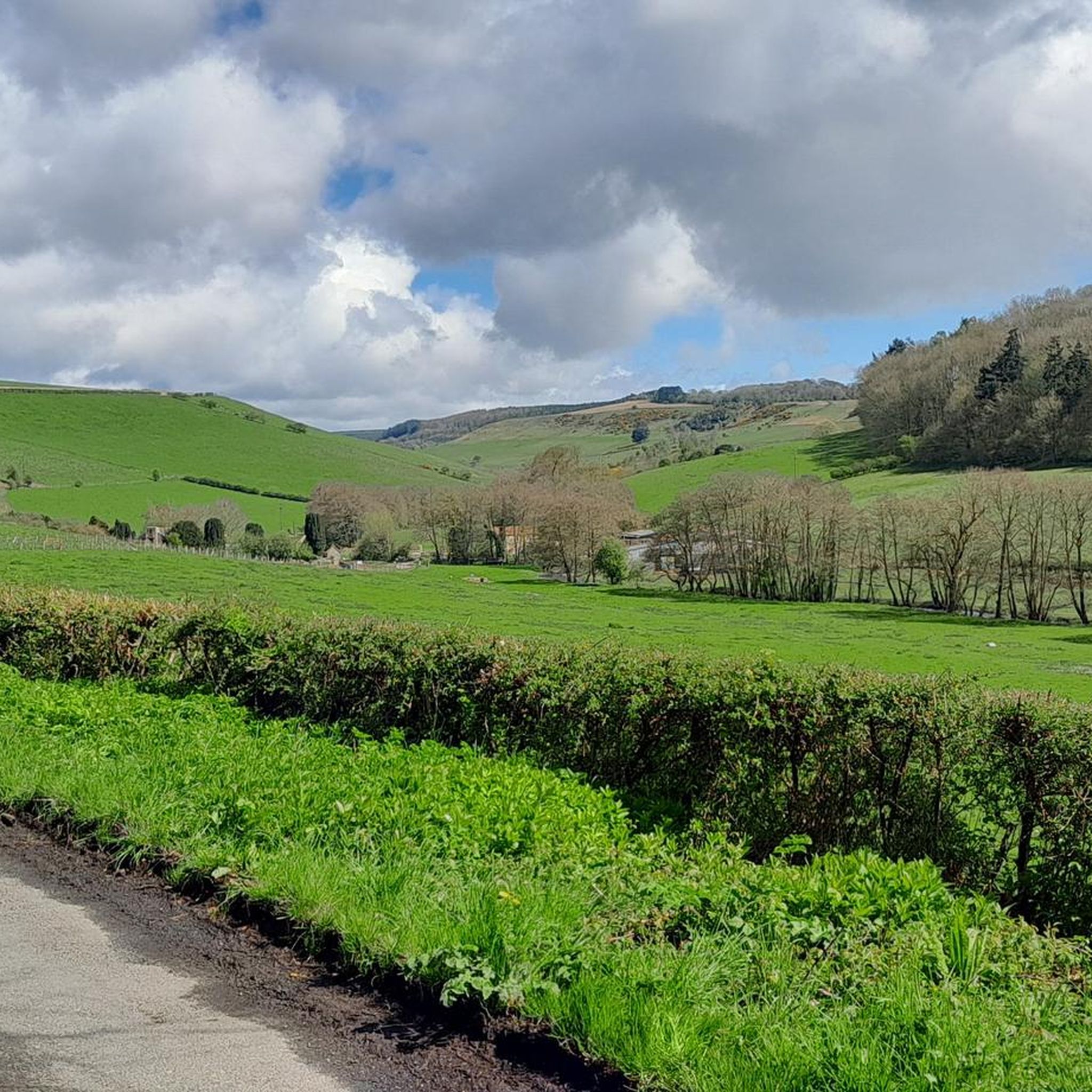
Hiking around Thornton-Le-Dale
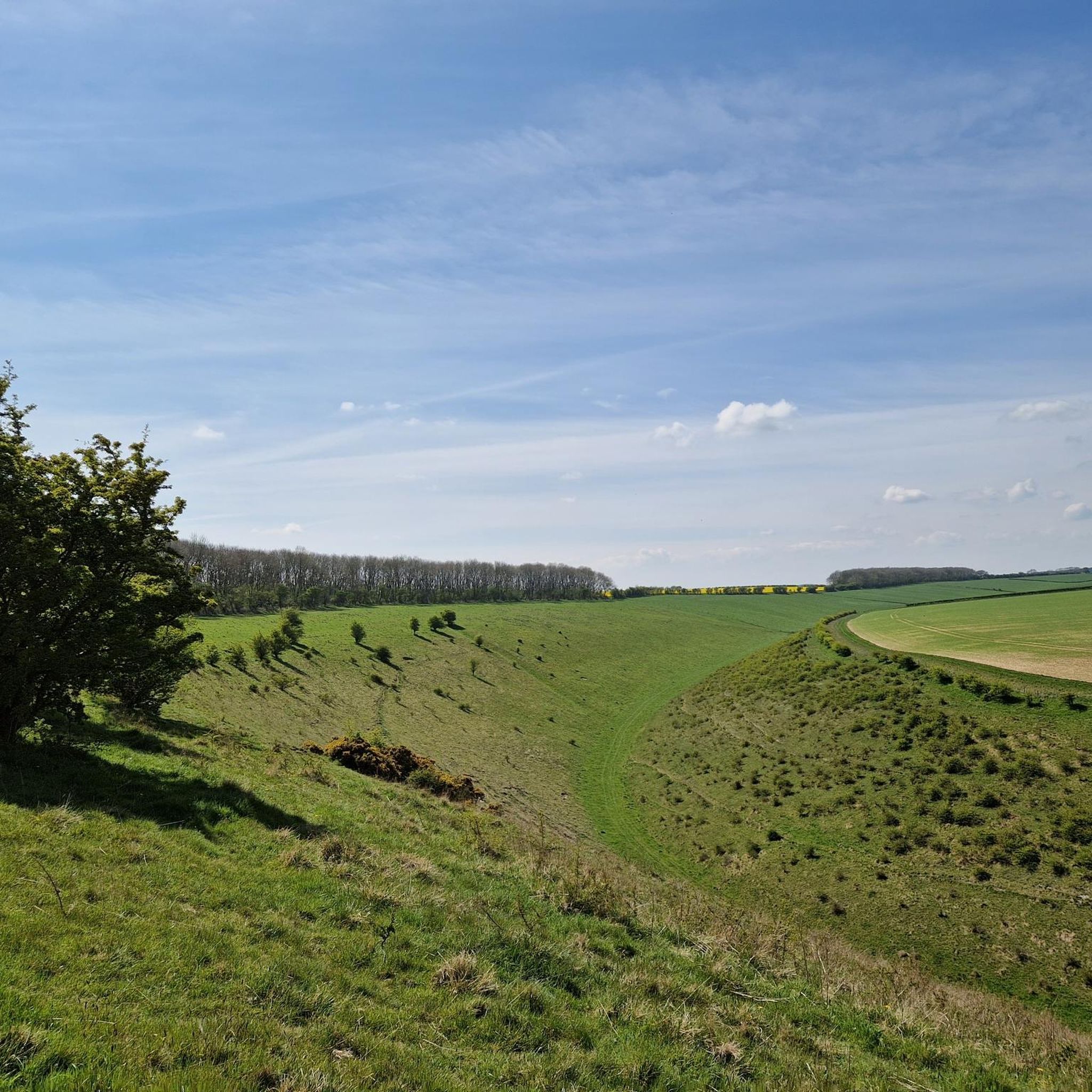
Cycling around Thornton-Le-Dale
Other adventures around Thornton-Le-Dale


Tips from the Community

High Woof Howe (Derwent Head Rigg) 290m P16 (951ft) (Hill ID: 512579) [JNSA s10481] County of Yorkshire Definitive List summit. North York Moors National Park Definitive List summit
0
0

Many paths. Quiet and beautiful. Perfect for a mountain and a gravel bike.
0
0

Fantastic 360 degree views and a variety of routeing options. I can't comment on the track west to Wheeldale Lodge or the bridleway south along Simon Howe Rigg to Cropton Forest, but both the bridleway north to Goathland, and the track east to Fen Bog Nature Reserve and the A169 are good quality tracks over easy terrain. The track east to Fen Bog is still quite waterlogged and boggy in some places even in July, but it is quite easy to skirt around these over the heather.
1
0

This location was about 10 miles into this trail. It is a crossroads in Dalby Forest. You can rest the bikes against several fences & gates, then sit down on an elevated drain type seat. Good point to rehydrate and eat
0
0

A scheduled monument, Simon Howe is a large round cairn on Goathland Moor that offers great views of the North York Moors National Park.
0
0

Top of the hill! Marked with a distinctive boulder where you can stop and take in the spectacular views of the surrounding North Yorkshire Moors
0
0

At Simon Howe (260 m), you will see a cairn and a ring of stones, but what they used to be and for what purpose is apparently 'shrouded by the mist of time' as they used to phrase it in my favourite sci-fi series! In the summer, you will be surrounded by a sea of purple heather. There are some stones here on which it will be possible to rest your running feet for awhile.
1
0
A rather oddly located trig point, nonetheless it's worth noticing it as this is actually the highest point in Dalby Forest, at 248 m! Ordnance Survey have these days stopped placing trig points, which is perhaps good, as this one is now obviously surrounded by forest.
1
0
Frequently Asked Questions
What kind of elevated areas can I explore around Thornton-Le-Dale?
While Thornton-Le-Dale doesn't feature traditional mountain peaks, the surrounding North York Moors National Park and Dalby Forest offer numerous prominent hills and elevated areas. These include forest tracks and ridges within Dalby Forest, such as the area around Dalby Forest Crossroads Rest Area, and scenic viewpoints like Spires Bank Summit, providing excellent views and invigorating walks.
Are there any historical sites on the elevated areas near Thornton-Le-Dale?
Yes, you can explore historical sites. For instance, Simon Howe Bronze Age Cairn is a notable viewpoint and summit featuring a well-preserved Bronze Age round cairn and a ring of stones. This spot offers wonderful views over the wild expanse of Goathland Moor.
What are some popular walking routes with views near Thornton-Le-Dale?
The region offers several walking routes with elevated perspectives. A circular walk from Thornton-Le-Dale through the Ellerburn Valley provides gentle uphill slopes and superb views, especially beautiful in spring. Additionally, local walks like the Yellow Walk (Rectory Lane and Ha-Ha) offer views over the village and Hall. Dalby Forest also has a network of trails with elevated sections.
Are there family-friendly walks among the hills around Thornton-Le-Dale?
Yes, many areas are suitable for families. Dalby Forest, for example, offers a variety of trails, including some with moderate elevation gains that are accessible and enjoyable for families. The Dalby Forest Crossroads Rest Area is noted as family-friendly and provides a good place to rest during a trail.
What outdoor activities can I do near these elevated areas?
Beyond walking, the area around Thornton-Le-Dale is excellent for various outdoor activities. You can find numerous mountain biking trails, such as the challenging The Full Red Trail or the easier Blue Jubilee Trail in Dalby Forest. There are also road cycling routes like the Pickering Castle loop and running trails, including the Low Dalby Park Run. For more details, explore the MTB Trails around Thornton-Le-Dale, Road Cycling Routes around Thornton-Le-Dale, and Running Trails around Thornton-Le-Dale guides.
What is the highest point in Dalby Forest?
The highest point in Dalby Forest is located at the Dalby Forest Crossroads Rest Area, reaching an elevation of 248 meters. It's marked by a trig point, offering a unique spot to notice while exploring the forest trails.
Where can I find panoramic views of the North Yorkshire Moors?
For spectacular panoramic views, head to Spires Bank Summit. It's marked with a distinctive boulder where you can stop and take in the surrounding North Yorkshire Moors. Similarly, Simon Howe Bronze Age Cairn also provides wonderful views over the wild expanse of Goathland Moor.
Are there any lesser-known elevated spots to explore?
Consider exploring High Woof Howe (Derwent Head Rigg) Summit, which is a definitive list summit within the North York Moors National Park. Another option is Riseborough Hill Summit, which also features a trig pillar.
What is the best time of year to visit Thornton-Le-Dale for walking?
The region is beautiful year-round, but spring is particularly appealing when the Ellerburn Valley is adorned with daffodils. Summer offers a sea of purple heather around spots like Simon Howe Bronze Age Cairn. The serene environment and diverse flora and fauna can be enjoyed in various seasons, depending on your preference for weather and scenery.
Are the trails around Thornton-Le-Dale suitable for beginners?
Yes, there are trails suitable for various fitness levels. The Ellerburn Valley walk from Thornton-Le-Dale is described as having a 'gentle uphill slope,' making it a good option for beginners. Dalby Forest also offers easier trails, such as the Blue Jubilee Trail for mountain biking, which can be adapted for walking.
What should I pack for a day hike near Thornton-Le-Dale?
Given the varied terrain and potential for changing weather in the North York Moors, it's advisable to pack layers of clothing, waterproofs, sturdy walking shoes, sufficient water, snacks, and a map or GPS device. Even in summer, some tracks can be waterlogged and boggy, so appropriate footwear is essential.
Are there dog-friendly trails around the hills of Thornton-Le-Dale?
Many of the walking routes and elevated areas in the North York Moors National Park and Dalby Forest are dog-friendly. Always ensure your dog is under control, especially around livestock, and check for any specific restrictions in certain areas or during nesting seasons. Dalby Forest, in particular, is a popular spot for dog walkers.
Where can I find local walking routes directly from Thornton-Le-Dale village?
Several local walking routes start directly from Thornton-Le-Dale. These include paths through the Ellerburn Valley and the Yellow Walk (Rectory Lane and Ha-Ha). For detailed maps and descriptions of these local walks, you can refer to resources like the Thornton-le-Dale Walks PDF.
Most popular routes around Thornton-Le-Dale
Most popular attractions around Thornton-Le-Dale

Get inspired with the komoot mobile app


Explore more
See even more amazing summits around Thornton-Le-Dale with these guides:
