The best road cycling routes around Kamp Lintfort
4.7
(47)
596
riders
73
rides
Road cycling around Kamp Lintfort offers diverse landscapes within the Lower Rhine region, characterized by generally flat terrain with occasional rolling hills. The area features the Niederrheinischer Höhenzug, providing modest elevation gains of around 30 meters per ascent. An extensive network of well-paved cycling paths, including sections of the Lower Rhine Route and Rhine Dike routes, ensures a smooth experience. Green forests and idyllic natural areas provide a refreshing backdrop for rides.
Best road cycling routes around Kamp Lintfort
- The…
Last updated: October 13, 2026
4.8
(9)
82
riders
61.2km
02:31
220m
220m
Moderate road ride. Good fitness required. Mostly well-paved surfaces and easy to ride.
5.0
(1)
27
riders
Moderate road ride. Good fitness required. Mostly well-paved surfaces and easy to ride.

5.0
(6)
30
riders
Easy road ride. Great for any fitness level. Mostly well-paved surfaces and easy to ride.
4.6
(5)
33
riders
Moderate road ride. Good fitness required. Mostly well-paved surfaces and easy to ride.
4.0
(1)
23
riders
49.9km
02:04
100m
100m
Moderate road ride. Good fitness required. Mostly well-paved surfaces and easy to ride.
Get access to more routes and recommendations from other explorers.
Already have an account?
Our route recommendations are based on thousands of hikes, rides, and runs completed by other people on komoot.
Start today with a free account
Your next adventure awaits.
Tips from the Community

Worth seeing: The "Schmuseecke" in Oermten
0
0

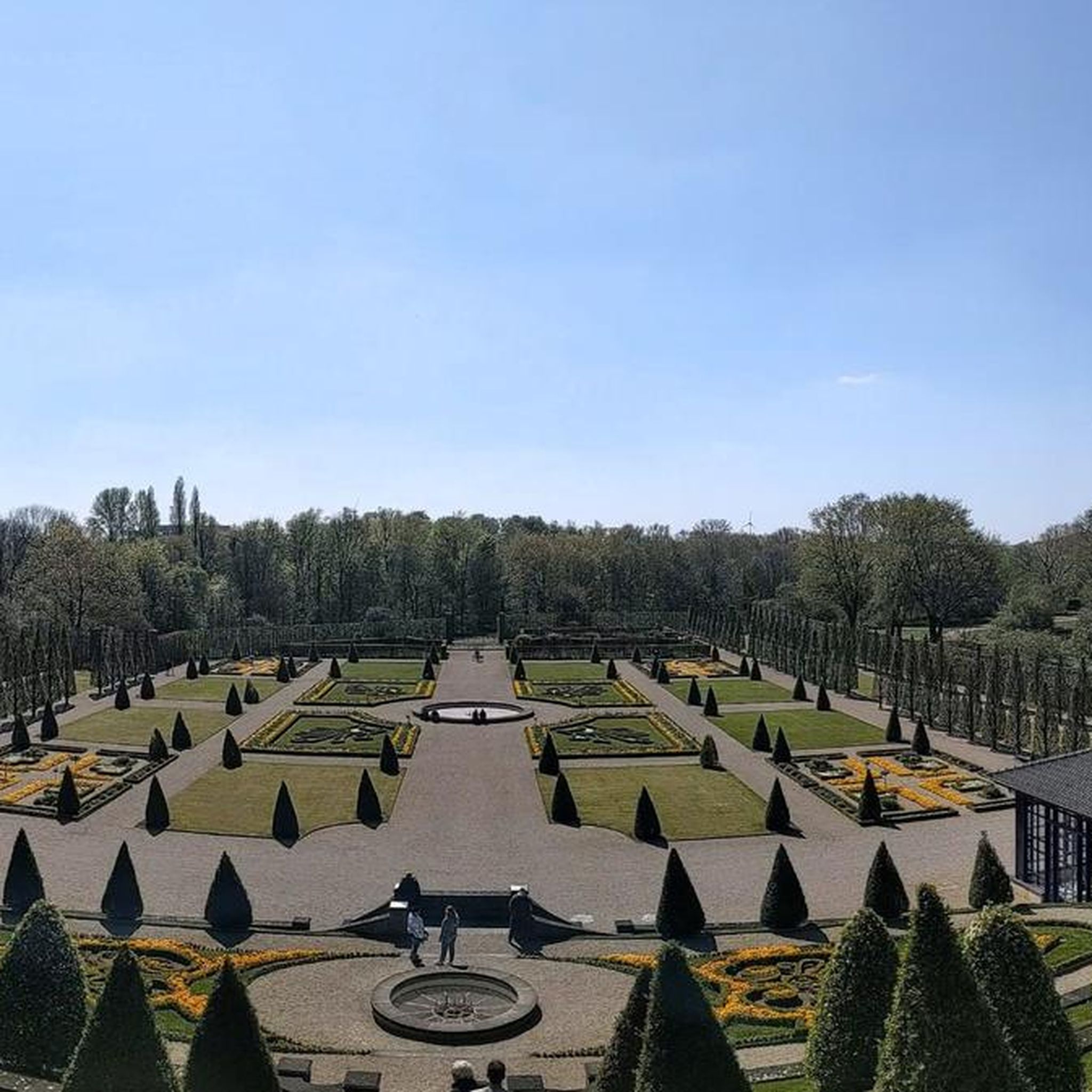
The terrace gardens are wonderfully laid out, always offering new perspectives.
2
0


A beautiful route to drive. Please be careful on the main road.
0
0

"The current church building dates back to the early 15th century. The core has a late Gothic appearance, while the church tower is unmistakably Neo-Gothic. The church building originates from an early 15th-century church. The core has a late Gothic appearance, while the church tower is unmistakably Neo-Gothic. The parish church of St. Peter and Paul immediately captivates its visitors and is of historical significance for the entire Lower Rhine region. Interesting guided tours, filled with stories, reveal beautiful, sometimes hidden, details." https://www.niederrhein-tourismus.de/attraktion/st.-peter-und-paul-a7d292c910
2
0
"Lake Eyller in Kerken is a popular destination for day trips – it offers not only a variety of cycling, hiking, and walking trails, but also an outdoor swimming pool and restaurants. The diverse loop around Lake Eyller invites hikers to wander along side roads and forest paths through the Lower Rhine countryside. Fields, forests, and small villages offer opportunities for a relaxing break – plenty of benches provide ample chance to rest... and simply let your gaze wander across the landscape." https://www.niederrhein-tourismus.de/tour/kerken-1-2-3-x-rund-um-den-eyller-see-7ff95e660e
0
0

Beautiful there. Beautiful in the harbor.
0
0

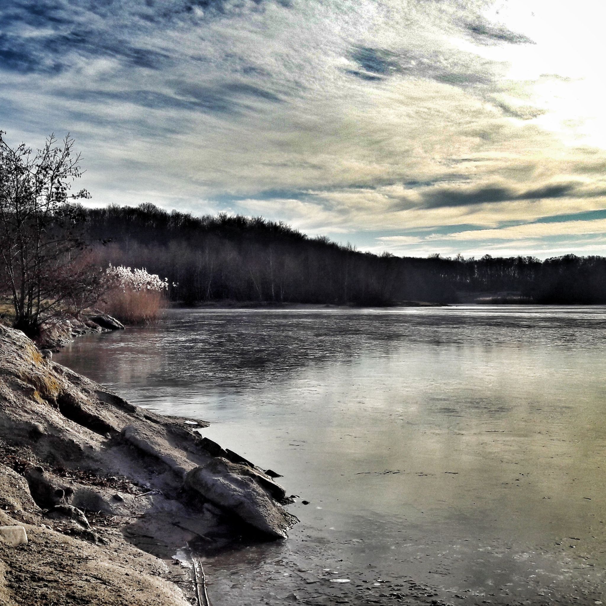
An idyllic lake for swimming, both in summer and winter. There's a winter swimming group with flexible schedules. Register via Instagram and Facebook.
1
0
Frequently Asked Questions
What kind of terrain can I expect on road cycling routes around Kamp-Lintfort?
The Kamp-Lintfort region, part of the Lower Rhine, offers generally flat terrain, making it accessible for various fitness levels. You'll also encounter 'rolling hills' and the 'Niederrheinischer Höhenzug' (Lower Rhine Ridge), which provide modest elevation gains of around 30 meters per ascent, adding a gentle challenge to some routes.
Are there challenging road cycling routes in Kamp-Lintfort, or are they mostly flat?
While many routes are predominantly flat, Kamp-Lintfort also offers options with modest elevation gains for those seeking a greater challenge. For instance, the Leukermeer – Heerenven Observation Tower loop is a moderate route covering over 113 km with over 225 meters of ascent. Overall, komoot lists 61 moderate and 1 difficult route out of 79 total road cycling tours in the area.
What natural features or scenic viewpoints can I discover on road cycling routes near Kamp-Lintfort?
You can enjoy picturesque views along the Rhine Dike routes, explore green forests like the Kamper Wald, and even venture into the Netherlands to experience the diverse scenery of the Maasduinen National Park. The Johannesturm Observation Tower is also a notable viewpoint in the wider area.
Are there any historical or cultural landmarks to see while road cycling in the area?
Yes, routes often pass through charming towns and offer cultural stops. You can visit Kloster Kamp, a prominent landmark with historical architecture and gardens, or explore the historic town of Xanten, featuring its old town and the Kriemhild Mill, as seen on the Kriemhild Mill, Xanten – Xanten Old Town loop. Additionally, you might encounter castles like Lauersfort Castle or Bloemersheim Castle.
What is the best time of year for road cycling around Kamp-Lintfort?
The Lower Rhine region is generally pleasant for cycling throughout the warmer months, from spring to early autumn. The extensive network of well-paved paths and low-traffic routes makes it enjoyable when the weather is mild and dry.
Are there options for parking near road cycling routes in Kamp-Lintfort?
While specific parking locations vary by route, Kamp-Lintfort is well-equipped for visitors. Many starting points for cycling routes, especially those originating from Kamp-Lintfort Süd, offer convenient access, and local infrastructure generally supports parking for outdoor activities.
How accessible are the road cycling routes by public transport?
Kamp-Lintfort is integrated into regional public transport networks. While direct access to every trailhead might require some planning, the town itself is accessible, and many routes are designed to be easily reached, allowing cyclists to combine public transport with their rides.
Are there circular road cycling routes available around Kamp-Lintfort?
Yes, many of the road cycling routes around Kamp-Lintfort are designed as loops, allowing you to start and end at the same point. An example is the Eyller Berg loop from Kamp-Lintfort Süd, which takes you through scenic landscapes and past Eyller Lake.
Are there family-friendly road cycling routes suitable for all ages?
The generally flat terrain and extensive network of dedicated cycling paths, often away from heavy traffic, make many routes around Kamp-Lintfort suitable for families. Look for routes categorized as 'easy' on komoot, such as the Eyller Berg loop, which is an easy 35 km ride.
How many road cycling routes are available around Kamp-Lintfort?
There are over 75 road cycling routes available around Kamp-Lintfort on komoot, offering a wide variety of distances and difficulties to explore the Lower Rhine region.
What do other road cyclists say about the routes in Kamp-Lintfort?
The road cycling routes in Kamp-Lintfort are highly rated by the komoot community, with an average score of 4.7 stars from over 30 reviews. Cyclists often praise the well-paved surfaces, the scenic Rhine Dike routes, and the tranquil green forests that provide a refreshing backdrop for rides.
Can I find routes that extend beyond Kamp-Lintfort into neighboring regions or countries?
Absolutely. The region is well-connected, and some routes extend into the Netherlands, offering diverse scenery. For example, the Leukermeer – Heerenven Observation Tower loop takes you into the Netherlands, including parts of the Maasduinen National Park. The area is also integrated into the larger Lower Rhine Route and provides access to the EuroVelo 15 (Rhine Cycle Route).
Are there places to stop for refreshments or breaks along the road cycling routes?
Yes, many routes pass through charming towns and villages, offering opportunities for breaks. You'll find cafes and restaurants in places like Xanten, and the region's cycling infrastructure often includes stops where you can refuel and relax.
Most popular routes around Kamp Lintfort
Most popular attractions around Kamp Lintfort

Get inspired with the komoot mobile app


Explore more
Browse the best Road cycling routes in other regions.
