The 5 Most Amazing Peaks in the Markagunt Plateau
Best mountain peaks in the Markagunt Plateau are found within a high-elevation volcanic field in Southern Utah. This region is characterized by volcanic features, including cinder cones and ancient lava flows, alongside dense forests. The plateau offers diverse landscapes and geological history for exploration.
Best mountain peaks in the Markagunt Plateau
- The most popular mountain peaks is Observation Point View of Zion Canyon, a viewpoint that offers expansive views of Zion Canyon. The hard climb is considered worthwhile, with…
Last updated: July 8, 2026
Angels Landing
Highlight • Summit
Tip by

View of the Watchman
Highlight • Viewpoint
Tip by
Sign up now to discover places like this
Get recommendations on the best single tracks, peaks, & plenty of other exciting outdoor places.
Sign up for free
Observation Point View of Zion Canyon
Highlight • Viewpoint
Translated by Google •
Tip by

Checkerboard Mesa
Highlight • Natural Monument
Translated by Google •
Tip by

Cedar Canyon Climb
Highlight (Segment) • Climb
Tip by

Brian Head Peak
Highlight • Summit
Tip by

Start today with a free account
Your next adventure awaits.
Login or Signup
Popular around Markagunt Plateau
My Utah road trip: trail running and gravel riding in the mountains
Red Rock to High Country loop — Riding from desert floors to canyon walls

Canyons, Plateaus and Hoodoos – discover Southwest USA
Mountain biking at the gates of Zion National Park
The girls of the desert — Gravel between Las Vegas and Zion

Unforgettable MTB Adventures – IMBA Epic Trails in USA and Canada

The pristine beauty of the US National Parks
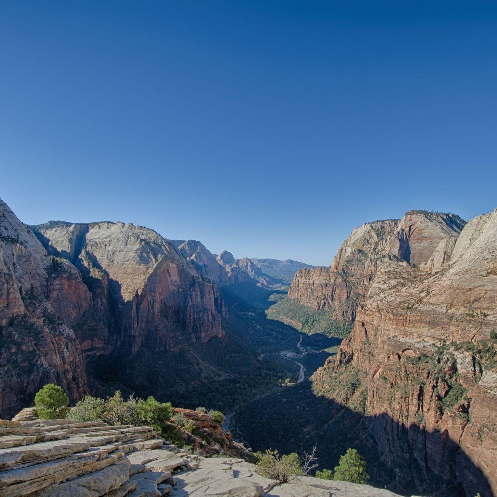
Hiking in the Markagunt Plateau
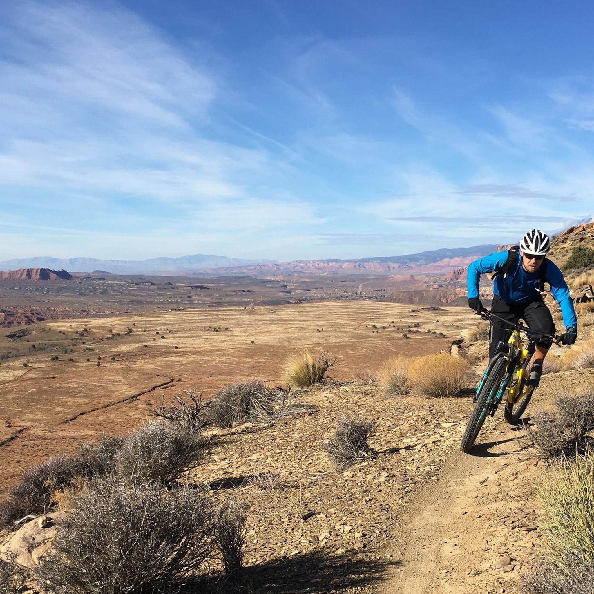
MTB Trails in the Markagunt Plateau
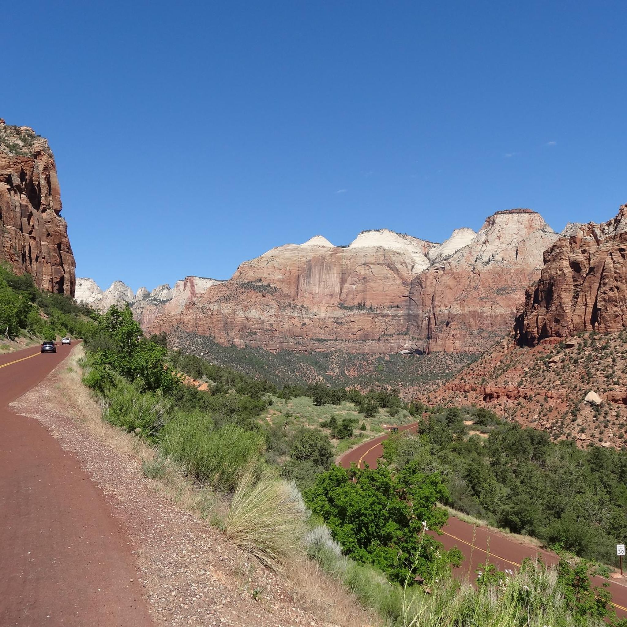
Cycling in the Markagunt Plateau
Other adventures in the Markagunt Plateau


Tips from the Community

Climbing Cedar Canyon on Utah's Highway 14 from Cedar City is an unforgettable journey through spectacular scenery, rising from the valley floor into a dramatic canyon carved through vibrant red and pink cliffs towards the high Markagunt Plateau. Prepare for a very long, sustained ascent of approximately 17 miles, gaining over 4,000ft to reach very high elevations near 10,000ft. The climb is predominantly steady, averaging around 4-5% with the steepest miles approaching 8%. You'll eventually reach aspen and fir forests high on the plateau. Be very mindful of the very high altitude and expect significant temperature drops from base to summit; variable mountain weather is common.
0
0


Checkerboard Mesa is one of Zion National Park's most well known features. The name was given due to the horizontal and vertical lines crisscrossing the rock face like a checkerboard.
0
0

The Watchman Trail, starting at the Zion Canyon Visitor Center, climbs 368 feet (112 meters) to the stunning Watchman Overlook. Here hikers can overlook the Watchman, Temples and Towers, lower Zion Canyon, and the town of Springdale. This viewpoint can get busy, so it's nice to get an early start. Restrooms and water filling stations are available at the Visitor Center, and bikes are not allowed on the trail.
0
0

The Brian Head is accessible by a short dirt road. You can enjoy a relaxing hike and get to the peak with panoramic views of Ashdown Gorge Wilderness and Cedar Breaks. There is a shelter at the top that can be good for a picnic.
0
0

Great views and better/further than from Angels Landing. The Hidden Canyon Trail and East Rim Trail within Zion NP are closed (long-term closure due to a major rockfall, September 2023). No one knows for how long as you wait for the next rockfall. The East Mesa Trail to Observation Point is open year-round. Due to the dirt road to the trailhead, Ponderosa Ranch Cabins offers a shuttle service. It's best to bring a rain jacket. Even when the weather looks good, there are often short rain showers. I experienced this on several days in Zion National Park.
1
0

This majestic lookout spot on a stone formation provides an iconic view of Zion. Come early to get the best view and fewer crowds! As far as running goes, please note that running is generally not encouraged at Zion National park due to how busy and populated it is.
1
0

You need to have a hiking permit to hike the Angels Landing Trail! During high season it is extremely crowded, so start early in the morning. The trail itself which leads to the top of the mountain is a very steep trail along a narrow ridge! You definetely should be free of fear of heights. Dangerous, especially when it‘s slippery after rain. I hiked the trail in end of September and there were only few people. Highly recommend using the off season for a hike of Angels Landing. It‘s definetely worth to hike all the way to the top because the view up there is incredible!
3
0
Frequently Asked Questions
What are some of the most prominent mountain peaks in the Markagunt Plateau?
The Markagunt Plateau features several notable peaks. Brian Head Peak is the highest point, offering expansive panoramic views and vehicle access in summer. Other significant peaks include Hancock Peak, known for its geological features and challenging hikes, and Henrie Knolls, a chain of cinder cones popular for off-roading and scenic views.
Are there family-friendly mountain peaks or viewpoints in the Markagunt Plateau?
Yes, there are options suitable for families. Brian Head Peak is considered family-friendly, with a road leading to the summit during summer months and a relaxing hike to panoramic views. Checkerboard Mesa is also a family-friendly natural monument and viewpoint, easily accessible via Utah State Route 9.
What kind of natural features can I expect to see on the Markagunt Plateau's peaks?
The Markagunt Plateau is a volcanic field, so you'll encounter numerous volcanic features like cinder cones and ancient lava flows. Peaks are often covered with dense forests of aspen, spruce, and fir. From high points like Brian Head Peak, you can see the stunning red rock formations of Cedar Breaks National Monument and vast landscapes stretching across Utah, Nevada, and Arizona.
What are some challenging hiking opportunities on the Markagunt Plateau's peaks?
For more adventurous hikers, Hancock Peak offers a challenging loop that can include Miras Nipple, providing varied terrain and requiring some route-finding. Sandy Peak involves a hike of about 7.5 miles with significant elevation gain, including class 2 scrambling and bushwhacking, rewarding hikers with expansive views of southern Utah.
What is the best time to visit the Markagunt Plateau for mountain peak exploration?
Summer months are ideal for accessing many peaks, especially those with road access like Brian Head Peak. Fall offers vibrant colors from the quaking aspen trees, particularly around Hancock Peak and Henrie Knolls, creating a beautiful contrast with the volcanic landscape. Winter provides opportunities for snow sports at Brian Head Ski Resort.
Are there any historical sites or points of interest near the Markagunt Plateau peaks?
Yes, history is woven into the landscape. At the summit of Brian Head Peak, you can find a historic Forest Service lookout built in the 1930s. Additionally, the trailhead for Sandy Peak is near the historic Old Spanish National Historic Trail, adding a layer of historical context to your adventure.
What do visitors enjoy most about the mountain peaks in the Markagunt Plateau?
Visitors frequently praise the expansive panoramic views, especially from spots like Observation Point View of Zion Canyon and Brian Head Peak. The unique volcanic geology, the vibrant fall colors, and the opportunities for both accessible sightseeing and challenging hikes are also highly appreciated.
What outdoor activities can I do near the Markagunt Plateau mountain peaks?
Beyond hiking and climbing, the Markagunt Plateau offers a variety of activities. You can find routes for mountaineering, such as the challenging Angels Landing Summit loop. There are also options for gravel biking, including the Navajo Lake Loop Trail, and various waterfall hikes like The Narrows. For more details on routes, you can explore the Mountain Hikes in the Markagunt Plateau guide.
Where can I find iconic views of Zion National Park from the Markagunt Plateau area?
While not directly on the Markagunt Plateau, the nearby Zion National Park offers iconic views that are often associated with the region. View of the Watchman provides a clear, iconic view of the pointy stone formation, best seen in the morning. For a more expansive vista, Observation Point View of Zion Canyon offers breathtaking views after a challenging climb.
Are there any unique geological formations among the Markagunt Plateau peaks?
Yes, the Markagunt Plateau is rich in unique geology. Checkerboard Mesa is a distinctive table mountain with horizontal and vertical lines crisscrossing its surface, formed by erosion. Sandy Peak is situated within the Markagunt Megabreccia, considered the Earth's largest subaerial gravity slide, and its summit is composed of volcanic mudflow breccia. Miller Knoll and Strawberry Knolls also feature some of the region's youngest lava flows.
What are the accessibility options for reaching the mountain peaks?
Accessibility varies by peak. Brian Head Peak is notably accessible by vehicle via a road during summer months. Henrie Knolls can be reached by high-clearance four-wheel-drive vehicles, ATVs, or side-by-sides, making it a great destination for off-roading enthusiasts. Other peaks like Hancock Peak and Sandy Peak require hiking, with some trails involving scrambling and route-finding.
Most popular routes in the Markagunt Plateau
Most popular attractions in the Markagunt Plateau

Get inspired with the komoot mobile app


