The 7 Most Amazing Peaks around Balmaghie
Best mountain peaks around Balmaghie are found within a region characterized by hilly terrain, situated near the expansive Galloway Hills. This area, part of the Galloway Forest Park, offers significant hiking and climbing opportunities. While Balmaghie itself features smaller hills, the broader vicinity includes notable peaks such as The Merrick, the highest mountain in the Southern Uplands. The landscape provides a mix of rolling hills, lochs, and diverse natural habitats.
Best mountain peaks around Balmaghie
- The most popular mountain peaks…
Last updated: June 29, 2026
Screel Hill
Highlight • Trail
Tip by

Benniguinea Summit
Highlight • Forest
Benniguinea (387m) is easily reached by forest …
Tip by

Sign up now to discover places like this
Get recommendations on the best single tracks, peaks, & plenty of other exciting outdoor places.
Sign up for free
Bengairn Summit
Highlight • Viewpoint
Tip by
Cairnsmore Summit
Highlight • Viewpoint
Cairnsmore may be seen easily from …
Tip by
View of Solway Firth from Bengairn
Highlight • Viewpoint
Bengairn is usually climbed with its near neighbour …
Tip by
Sign up for free to discover even more peaks around Balmaghie.
Sign up for free
Already have an account?
Start today with a free account
Your next adventure awaits.
Login or Signup
Tips from the Community

Bengairn is a 391m summit overlooking Auchencairn Bay and Rough Firth. With over 150m of prominence it is classified as a Marilyn. Bengairn is usually climbed with its near neighbour Screel Hill which with better paths is easier to get to. To reach Bengairn from Screel Hill you have to find the path, for there is one. You just need to find it.
1
0
Screel Hill is a 344m hill overlooking Auchencairn Bay and the Solway Firth with excellent views across to the English Lake District. The excellent path up the east ridge was badly damaged by fallen trees during Storm Arwen in 2021 and these have not been closed so the upper section of the path has been closed. However a new path cuts across to meet the upper path above the damaged section so it is now possible to walk the upper section of the lovely east ridge again.
0
0
Bengairn is a 391m hill on the Dumfries and Galloway coast. It is classified as a Marilyn because it has over 150m of prominence. Bengairn is usually climbed with Screel Hill starting from the Forestry car park close to the A711. The path to Bengairn from Screel Hill isn't shown on any map but the start follows the wall below Screel Hill summit then skirts to the north then west of Mid Hill before reaching a gate in the wall at NX 77185 54974. From here there is a clear path to Bengairn summit. Bengairn summit is an even better viewpoint than Screel Hill. You can either return the same way or descend via the north east ridge through appalling long grass and bracken before reaching a lovely track that leads to another gate in the same wall at NX 77849 54576. From here a mapped track leads back to the car park.
2
0
Cairnsmore is a mountain in the Galloway Hills. It is 493m high and with a prominence over 150m it is classified as a Marilyn. Cairnsmore may be seen easily from the A712 to the north and east but not from Clatteringshaws to the west. The most common ascent approach is via the Hump Benniguinea to the west, which can be easily reached via forest tracks and paths. The onward route to Cairnsmore looks straightforward but is more challenging in practice. It is considerably easier if you can locate the start of the path on the track bend just before Benniguinea's summit. This path is faint and indistinct in places but following it is massively better than plowing your way through the bog and tussocks. We never could decide if the path had been created by hoards of hillbaggers or herds of hoofless animals. There are a few strategically placed prominent stones and small cairns to help you find it. Losing the path can be demoralising. Cairnsmore is also a very good viewpoint.
1
0
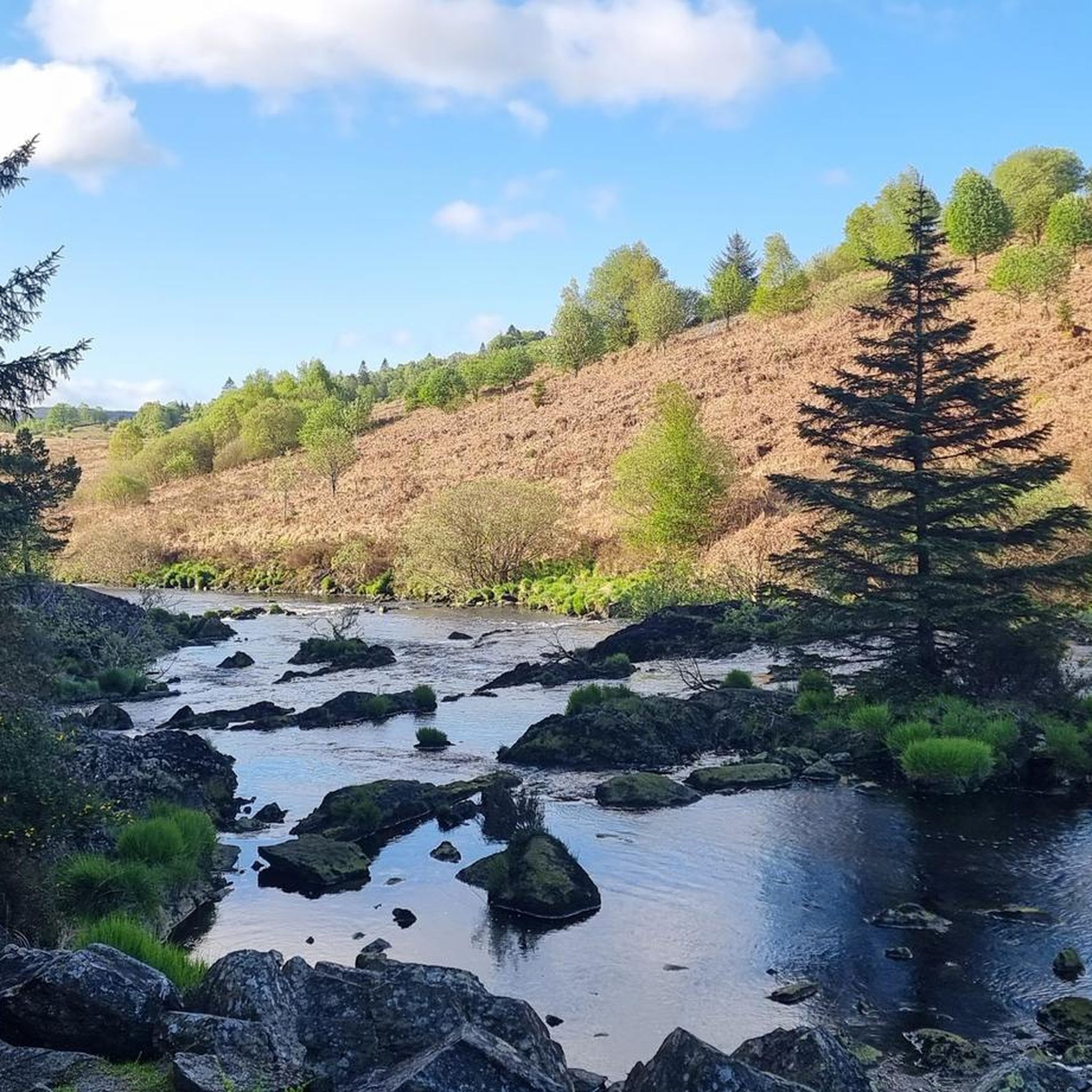
Benniguinea with it's radio mast can be seen from Clatteringshaws where there is good parking but no longer a Visitor Centre or toilets. Benniguinea (387m) is easily reached by forest tracks and a path and the summit is a great viewpoint for the area and the route ahead if you are planning to climb Cairnsmore. Benniguinea is 387m high and with a prominence of over 100m it is classified as a Hump.
2
0

Although it's only a relatively modest hill, rising straight from sea level it feels like a real mountain. It's a great adventure with kids as only a fairly short walk gets you to a rocky summit with outstanding views over forest and sea
0
1

This is a great place to stop and look backward on your climb to Bengairn summit and enjoy the wonderful views across the Solway Firth. There are also some old ruins here, there is no information on the history, but it's a fascinating place to discover on your hike.
0
0
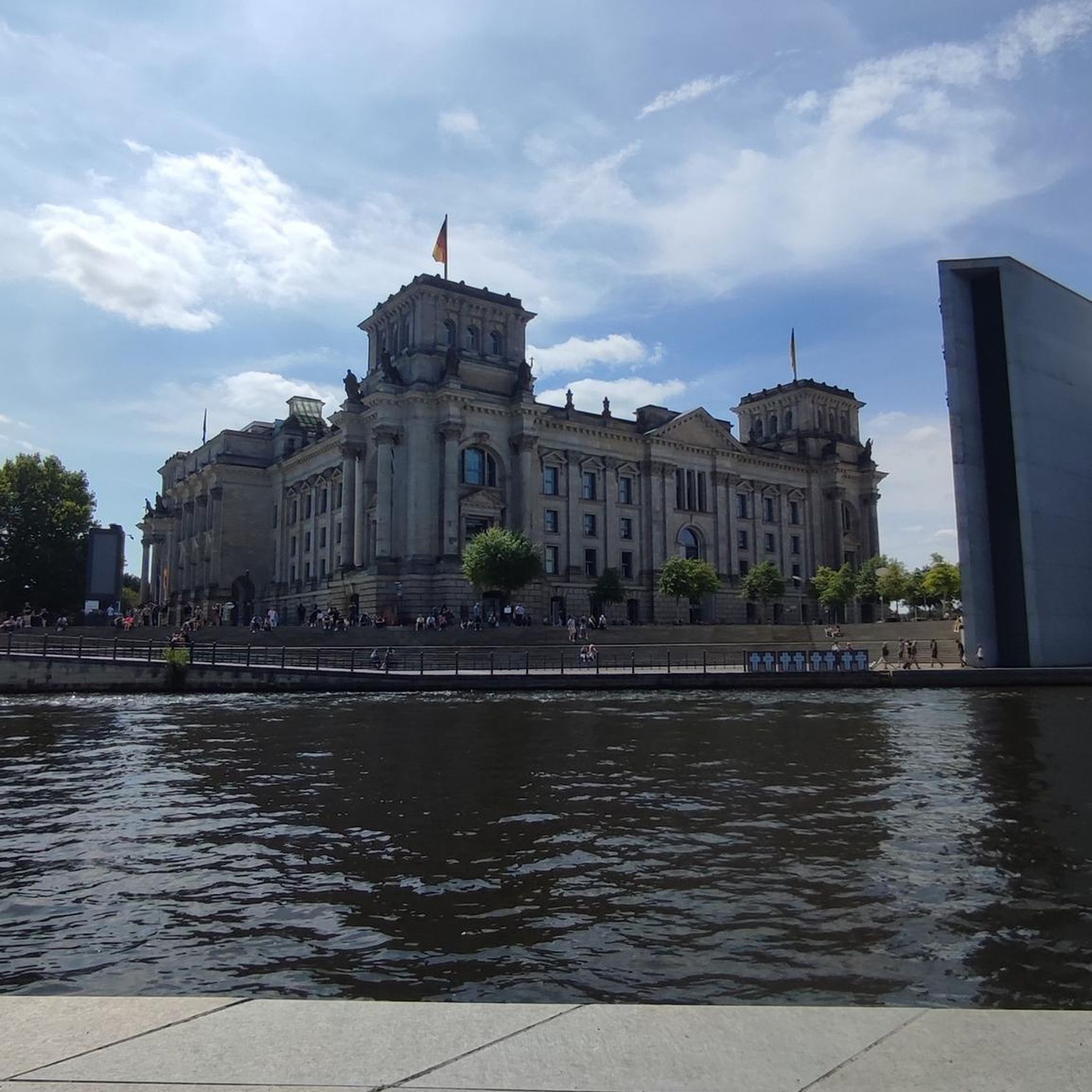
Bengairn is a 391-metre summit in the Dumfries and Galloway region of southern Scotland. From the top, you can enjoy panoramic views across the nearby coastal mountains and Solway Firth.
0
0
Frequently Asked Questions
What are the most popular mountain peaks around Balmaghie?
The most popular peaks in the immediate vicinity of Balmaghie include Screel Hill, a modest 344m hill offering excellent views towards Auchencairn Bay and the Solway Firth. Other favorites are Benniguinea Summit, a forest summit with great views of the loch and dam, and Bengairn Summit, a 391m viewpoint with panoramic coastal views.
What is the highest mountain peak in the broader Balmaghie area?
The highest mountain in the broader area accessible from Balmaghie is The Merrick, standing at 843 meters (2,766 feet). It is the highest mountain in the Southern Uplands of Scotland and offers phenomenal panoramic views from its summit.
Are there easy mountain hikes suitable for families near Balmaghie?
Yes, Screel Hill is considered a great adventure for families, offering a relatively short walk to a rocky summit with outstanding views. For more options, you can explore the Easy hikes around Balmaghie guide, which features routes like the Douglas Mausoleum loop from Castle Douglas.
What are some more challenging mountain peaks to climb near Balmaghie?
For a more challenging ascent, consider Cairnsmore Summit, a 493m Marilyn in the Galloway Hills. While the route from Benniguinea looks straightforward, it can be challenging with indistinct paths and boggy sections. The Merrick also offers a longer, more strenuous hike, especially from Glen Trool, though it's generally considered a straightforward hillwalk rather than technical climbing.
Which peaks offer the best panoramic views in the Balmaghie region?
Many peaks in the area boast excellent views. Screel Hill provides top-notch views towards Auchencairn Bay and the Solway Firth. Bengairn Summit offers even better panoramic views across the nearby coastal mountains and Solway Firth. From The Merrick, on clear days, views can extend up to 144 miles, potentially reaching Snowdon in the British Isles.
What kind of natural landscape can I expect in the Galloway Hills near Balmaghie?
The Galloway Hills, which border Balmaghie, are characterized by rolling hills, countless lochs, picturesque burns, and waterfalls. This unspoiled area is rich in diverse plant life, birds, and animals, making it a rewarding destination for nature enthusiasts.
What outdoor activities can I do in the Galloway Hills near Balmaghie?
Beyond hiking the peaks, the Galloway Hills and surrounding Balmaghie area offer a variety of outdoor activities. You can find numerous routes for cycling and mountain biking. In winter, the Black Gairy on the west of The Merrick's summit even offers ice climbing routes for experienced adventurers.
Are there specific hiking trails recommended near Balmaghie's peaks?
Yes, there are many hiking opportunities. For instance, the most common route to The Merrick starts from the car park in Glen Trool, near Bruce's Stone, offering a 9-mile round trip. For a broader selection of trails, you can explore the Easy hikes around Balmaghie guide, which includes routes like the View of Threave Castle loop.
When is the best time to hike the mountain peaks around Balmaghie?
The best time to hike is generally during the warmer, drier months, typically from late spring to early autumn (May to September), when paths are less slippery and visibility is often better. However, the region offers beauty year-round, with winter providing opportunities for ice climbing on The Merrick for those with appropriate skills and gear.
Are there any historical sites or interesting features on the mountain trails?
Yes, some trails offer historical interest. For example, the route to The Merrick from Glen Trool passes Bruce's Stone, commemorating Robert the Bruce's victory. Near the View of Solway Firth from Bengairn, you can discover old ruins, adding a fascinating historical element to your hike.
What should I wear when hiking the mountains around Balmaghie?
Even for seemingly straightforward hikes like The Merrick, sturdy boots and appropriate gear are highly recommended. Weather in the Galloway Hills can change rapidly, so layers, waterproof outerwear, and navigation tools are essential for a safe and enjoyable experience.
Are there other notable peaks in the Galloway Hills besides The Merrick?
Absolutely. The Galloway Hills are home to numerous significant peaks. Within the 'Range of the Awful Hand,' you'll find Shalloch on Minnoch, Tarfessock, and Kirriereoch. Other prominent peaks include Mullwarchar in the Dungeon Range, Corserine in the Kells range, and Lamachan and Curleywee in the Minnigaff Group.
Most popular routes around Balmaghie
Most popular attractions around Balmaghie

Get inspired with the komoot mobile app


Explore more
See even more amazing summits around Balmaghie with these guides:
