The best walks and hikes in Sulphur Gates Provincial Recreation Area
3.5
(4)
46
hikers
5
hikes
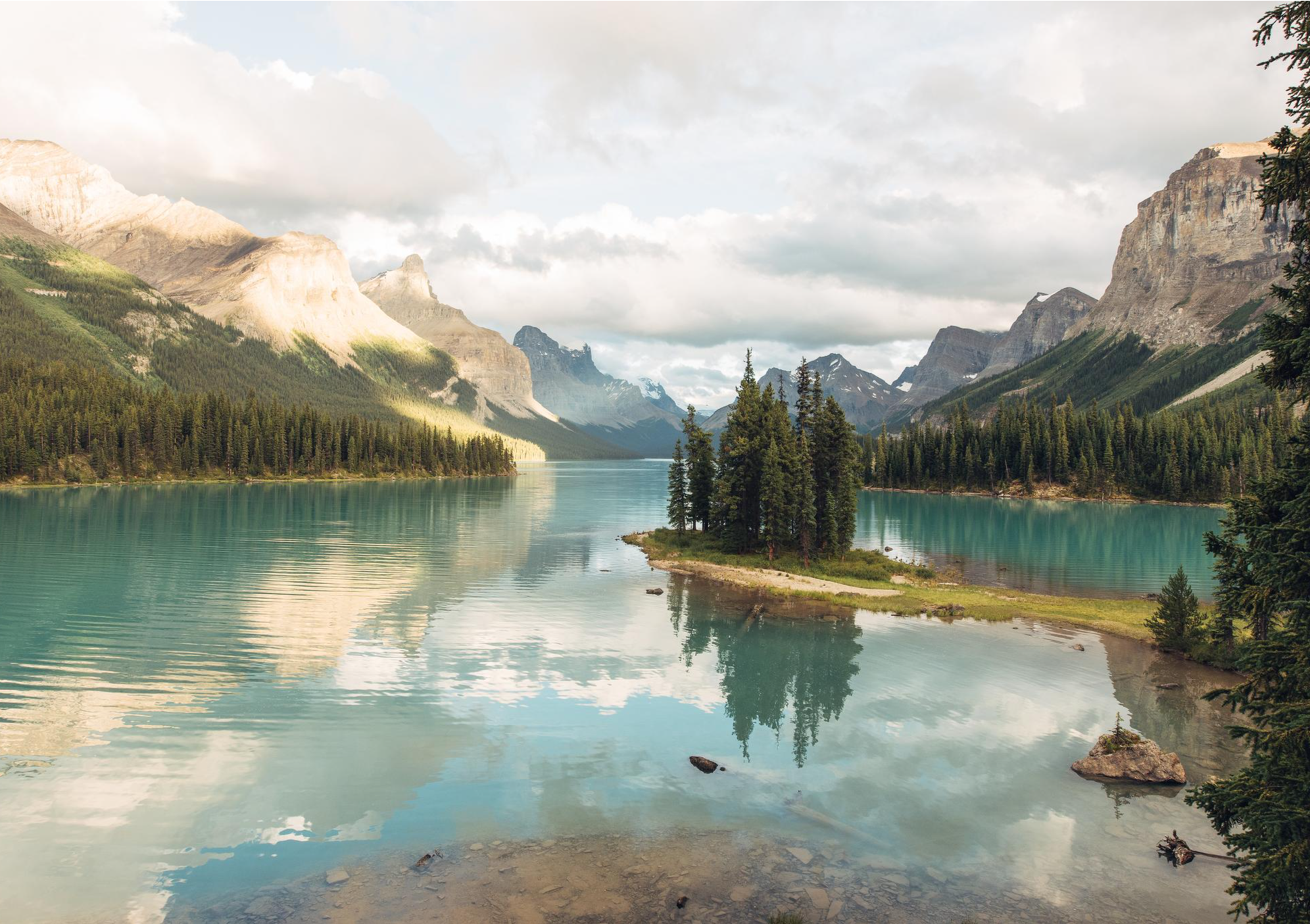
Hiking in Sulphur Gates Provincial Recreation Area offers trails through a landscape defined by the dramatic confluence of the Sulphur and Smoky Rivers. The area features towering sandstone cliffs, massive vertical bedrock formations, and expansive views of the surrounding Rocky Mountains. Lush forests cover the terrain, providing a backdrop for routes that range from riverbank paths to more challenging ascents. The "Crack of Doom," a unique geological formation, is also present within the recreation area.
Best hiking trails in Sulphur…
Last updated: October 19, 2026
3.5
(2)
17
hikers
7.55km
02:11
180m
180m
Moderate hike. Good fitness required. Easily-accessible paths. Suitable for all skill levels.
2
hikers
15.4km
05:44
1,000m
1,000m
Hard hike. Very good fitness required. Easily-accessible paths. Suitable for all skill levels.

3.5
(2)
12
hikers
6.56km
01:55
170m
170m
Easy hike. Great for any fitness level. Easily-accessible paths. Suitable for all skill levels.
5
hikers
10.9km
04:16
470m
470m
Moderate hike. Good fitness required. Mostly accessible paths. Sure-footedness required.
10
hikers
10.8km
04:06
700m
700m
Moderate hike. Good fitness required. Easily-accessible paths. Suitable for all skill levels.
Our route recommendations are based on thousands of hikes, rides, and runs completed by other people on komoot.
Start today with a free account
Your next adventure awaits.
Popular around Sulphur Gates Provincial Recreation Area
Other adventures in Sulphur Gates Provincial Recreation Area

Tips from the Community

A challenging hike, that brings to a spectacular peak with sweeping panoramic views. Be prepared for changing weather and blustering winds.
0
0

Standing above Grande Cache, Mount Louie offers wide-ranging views over the town, Grande Cache Lake, nearby peaks, and the surrounding foothills of the Canadian Rockies. The summit itself is largely open, allowing an uninterrupted look across the landscape in every direction.
0
0
Mount Louie Trail follows a long, steady climb through forest before reaching more open terrain near the upper slopes. While much of the trail is sheltered by trees, occasional openings provide views across the surrounding mountains and lakes. The sustained elevation gain makes it a rewarding challenge without requiring any technical scrambling.
1
0

A very well-appointed viewpoint offering a magnificent view of the 2 rivers, the cliffs, the sandbanks. A must see. Accessible after a short walk from the day car park at the end of Sulfur Gate Road (gravel).
0
0
Frequently Asked Questions
What types of hiking trails can I expect in Sulphur Gates Provincial Recreation Area?
Sulphur Gates Provincial Recreation Area offers a diverse range of hiking experiences. You'll find cleared paths along riverbanks, trails winding through lush forests, and routes across rolling terrain. Options range from leisurely walks to more challenging ascents, catering to various fitness levels. There are 5 routes available, including 1 easy, 3 moderate, and 1 difficult trail.
Are there any easy or family-friendly hiking options in Sulphur Gates Provincial Recreation Area?
Yes, for an easier and family-friendly option, consider the Eaton Falls loop from Sulphur Gates Staging Area. This trail is approximately 6.56 km long with a moderate elevation gain, offering a pleasant walk suitable for many. It's a great way to experience the area's natural beauty without committing to a strenuous hike.
Can I see waterfalls while hiking in Sulphur Gates Provincial Recreation Area?
Absolutely! Eaton Falls is a notable attraction within the area. You can reach it via the Eaton Falls Trail, a moderate 7.55 km hike. The flow of the falls can vary seasonally, so it's always a good idea to check conditions if seeing a robust waterfall is a priority.
What are some of the more challenging hikes available?
For experienced hikers seeking a challenge, the Mount Stearn Trail is a difficult route spanning approximately 15.4 km with nearly 1000 meters of elevation gain. This trail offers a strenuous workout and rewarding views for those prepared for a longer, more demanding adventure.
Are there any loop hikes in Sulphur Gates Provincial Recreation Area?
Yes, there are loop options available. The Eaton Falls loop from Sulphur Gates Staging Area is an easy 6.56 km circuit. Another moderate loop is the Ambler Mountain Summit loop from Ambler Mountain, which covers about 10.88 km.
What kind of scenic views can I expect on the trails?
Hikers are treated to spectacular vistas throughout the area. Key highlights include the dramatic confluence of the Sulphur and Smoky Rivers, framed by towering sandstone cliffs and massive vertical bedrock. Many trails offer expansive views of the surrounding Rocky Mountains and the rolling terrain below, especially from various viewpoints accessible via short paths from the parking area.
Is Sulphur Gates Provincial Recreation Area a good place for multi-day backpacking trips?
While the immediate recreation area offers day hikes, Sulphur Gates serves as one of three main access points to the vast Willmore Wilderness Park. This makes it an excellent staging area for backpackers and adventurous hikers looking for true wilderness experiences and multi-day treks into the northeastern edges of the Canadian Rockies.
What is the 'Crack of Doom' and can I visit it?
The 'Crack of Doom' is an intriguing natural wonder and a unique geological formation within the area, a remnant from Alberta's glacial period. It's a notable attraction and even part of Grande Cache's annual Death Race. While specific trail information to the Crack of Doom isn't detailed in our routes, its presence adds to the geological interest of the region.
What do other hikers say about Sulphur Gates Provincial Recreation Area?
The area is appreciated by the komoot community, with an average rating of 3.5 stars from 4 reviews. Hikers often praise the stunning natural features, particularly the dramatic river confluence and the rugged beauty of the canyons and Rocky Mountain views.
Are there any other activities besides hiking in the area?
Beyond hiking, Sulphur Gates Provincial Recreation Area is also popular for horseback riding, with designated equestrian campsites and trails. The Sulphur and Smoky Rivers offer opportunities for canoeing and fishing, making it a versatile outdoor destination.
Where can I find information about camping in Sulphur Gates Provincial Recreation Area?
For information regarding camping, including details about the Sulphur Gates Campground, you can refer to external resources such as the Grande Prairie Tourism website: gptourism.ca.

Get inspired with the komoot mobile app


Explore more
Browse the best Hikes in other regions.
