The best road cycling routes in Almoloya De Juárez
18
riders
3
rides
Road cycling routes in Almoloya De Juárez traverse a landscape characterized by significant elevation changes, with routes featuring climbs exceeding 2,600 meters. The region offers diverse cycling terrain, from challenging mountainous loops to more moderate paths around natural features like Lago el Serratón. These routes often pass through rural areas and offer expansive views. The area's topography provides varied cycling experiences for different skill levels.
Best road cycling routes in Almoloya De Juárez
- The most popular road cycling route is…
Last updated: October 12, 2026
15
riders
128km
07:38
2,980m
2,980m
Hard road ride. Very good fitness required. Mostly well-paved surfaces and easy to ride.
1
riders
31.1km
01:19
130m
130m
Moderate road ride. Great for any fitness level. Some segments of this route may be unpaved and difficult to ride.

2
riders
130km
07:15
2,630m
2,630m
Hard road ride. Very good fitness required. Mostly well-paved surfaces and easy to ride.
Our route recommendations are based on thousands of hikes, rides, and runs completed by other people on komoot.
Start today with a free account
Your next adventure awaits.
Popular around Almoloya De Juárez
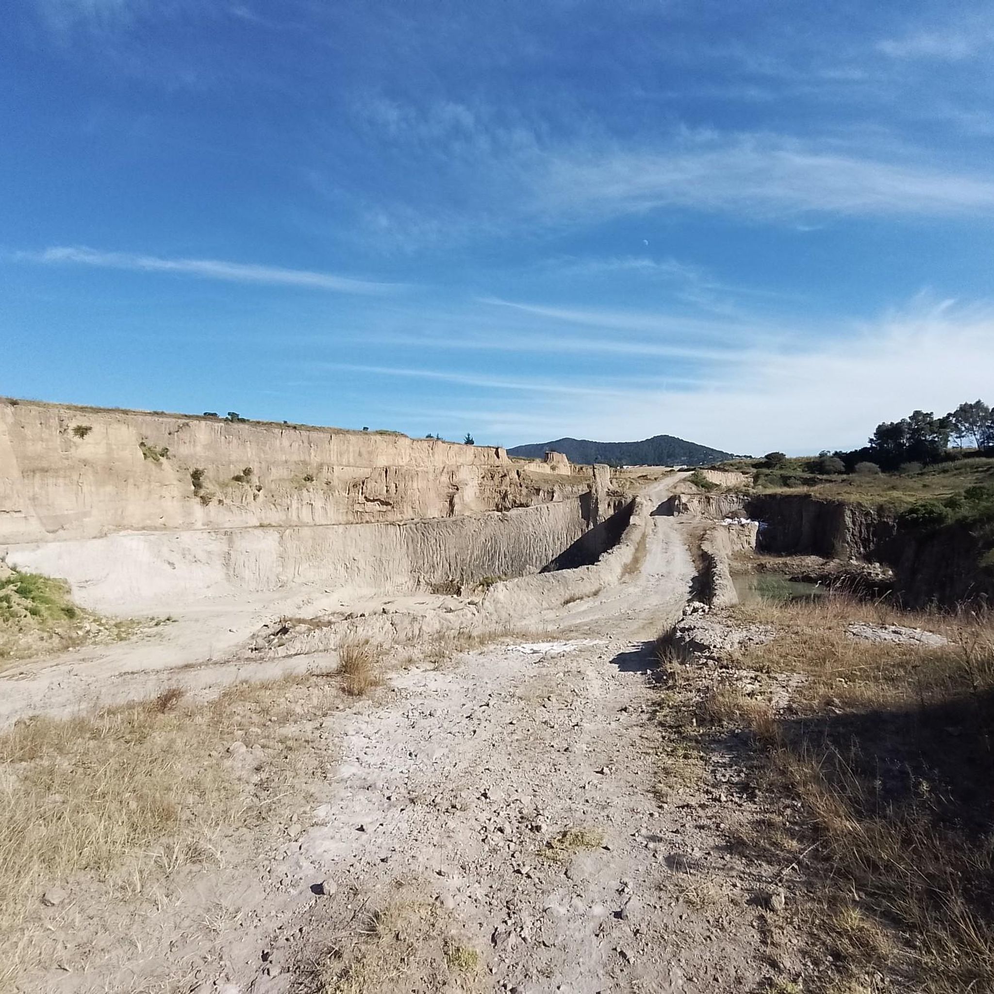
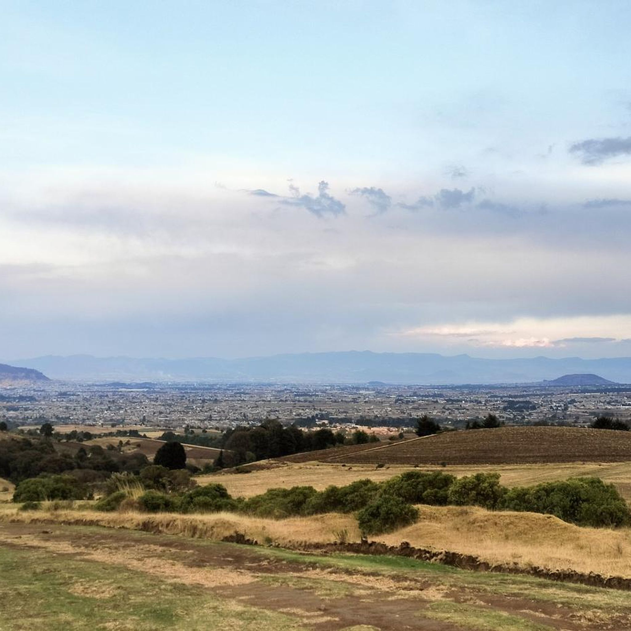

Frequently Asked Questions
How many road cycling routes are available in Almoloya De Juárez?
There are 3 highly-rated road cycling routes in Almoloya De Juárez, catering to moderate and difficult skill levels. These routes offer diverse experiences across the region's varied terrain.
What is the typical terrain and difficulty level for road cycling in Almoloya De Juárez?
Road cycling in Almoloya De Juárez is characterized by significant elevation changes, with routes often featuring climbs exceeding 2,600 meters. The terrain is diverse, offering challenging mountainous loops and some moderate paths. Most routes are rated as difficult, with one moderate option available.
Are there any moderate road cycling routes in Almoloya De Juárez?
Yes, the Lago el Serratón loop from San Pablo Autopan is a moderate 19.3-mile (31.1 km) path. This route offers a less strenuous option with scenic views around the lake, making it suitable for those seeking a more relaxed ride.
What are some of the more challenging road cycling routes in the area?
For experienced road cyclists seeking a challenge, routes like the El Mapa loop from San Juan de las Huertas (79.8 miles / 128.4 km) and the Hacienda Pipiol – Santa María loop from Avandaro (80.6 miles / 129.7 km) feature substantial elevation gains and varied terrain, making them difficult and rewarding rides.
What is the best time of year for road cycling in Almoloya De Juárez?
The region's climate generally allows for road cycling throughout much of the year. However, the dry season, typically from November to May, offers more stable weather conditions with less rain, which is ideal for tackling the significant climbs and enjoying the expansive views.
Are there road cycling routes that offer scenic views or natural features?
Absolutely. Many routes in Almoloya De Juárez pass through rural areas and offer expansive views of the surrounding landscape. The Lago el Serratón loop from San Pablo Autopan, for instance, provides scenic views around the natural feature of Lago el Serratón.
Are there any family-friendly road cycling options in Almoloya De Juárez?
While many routes in Almoloya De Juárez feature significant elevation changes and are rated moderate to difficult, the Lago el Serratón loop from San Pablo Autopan is a shorter, moderate option that might be more suitable for families with older, experienced cycling members, due to its less strenuous nature and scenic lake views.
Are the road cycling routes in Almoloya De Juárez typically loop routes or point-to-point?
All the highly-rated road cycling routes featured in this guide for Almoloya De Juárez are designed as loops. This allows cyclists to start and finish at the same location, such as the El Mapa loop from San Juan de las Huertas or the Hacienda Pipiol – Santa María loop from Avandaro.
What are the typical distances and durations for road cycling routes in Almoloya De Juárez?
Route distances vary significantly, from moderate paths around 19.3 miles (31.1 km) like the Lago el Serratón loop, to more challenging routes exceeding 79 miles (128 km), such as the El Mapa loop. Durations can range from approximately 1.5 hours for shorter routes to over 7 hours for the longer, more difficult ones.
What do other road cyclists enjoy most about road cycling in Almoloya De Juárez?
The komoot community frequently praises the challenging climbs and expansive loops that define road cycling in Almoloya De Juárez. Cyclists appreciate the diverse terrain, the rural landscapes, and the rewarding feeling of completing routes with significant elevation gains.
Are there any specific considerations for elevation when planning a ride in Almoloya De Juárez?
Yes, elevation is a key characteristic of road cycling in Almoloya De Juárez. Many routes feature substantial climbs, with some exceeding 2,600 meters of elevation gain. Cyclists should be prepared for sustained ascents and descents, and ensure their fitness level and bike gearing are appropriate for these conditions.
Most popular routes in Almoloya De Juárez

Get inspired with the komoot mobile app


Explore more
Browse the best Road cycling routes in other regions.
