The best gravel rides around Ligny-Lès-Aire
5.0
(1)
12
riders
2
rides
Gravel biking around Ligny-Lès-Aire offers varied terrain within the Pas-de-Calais department of Hauts-de-France. The region features an elevation range from 52 to 132 meters, providing diverse cycling experiences across its landscapes. Cyclists can expect a mix of surfaces, including paved roads, unpaved segments, and forest trails. This area is characterized by rolling countryside, agricultural plains, and nearby forests, making it suitable for gravel cycling.
Best gravel bike trails around Ligny-Lès-Aire
- The most popular gravel bike trail is Linghem Wood –…
Last updated: July 13, 2026
4
riders
56.6km
03:32
250m
250m
Moderate gravel ride. Good fitness required. Mostly paved surfaces. Suitable for all skill levels.
5.0
(1)
4
riders
Moderate gravel ride. Good fitness required. Mostly paved surfaces. Suitable for all skill levels.

Sign up for free
2
riders
37.5km
02:38
380m
380m
Moderate gravel ride. Good fitness required. Mostly paved surfaces. Suitable for all skill levels.
2
riders
46.5km
03:12
540m
540m
Hard gravel ride. Very good fitness required. Mostly paved surfaces. Suitable for all skill levels.
Our route recommendations are based on thousands of hikes, rides, and runs completed by other people on komoot.
Start today with a free account
Your next adventure awaits.
Login or Signup



Tips from the Community

The source of the Leie (French: la source de la Lys) is located in the small French village of Lisbourg, situated in the Pas-de-Calais department in the Hauts-de-France region. The river originates here at an altitude of approximately 115 meters and flows via Aire-sur-la-Lys towards Belgium, eventually flowing into the Scheldt in Ghent after approximately 202 kilometers.
0
0
The belfry of Aire-sur-la-Lys (in Dutch: Ariën-aan-de-Leie) is a historic, baroque belfry in the French department of Pas-de-Calais that has been on the UNESCO World Heritage list since 2005. The striking tower is attached to the town hall and dominates the skyline of the historic town.
0
0

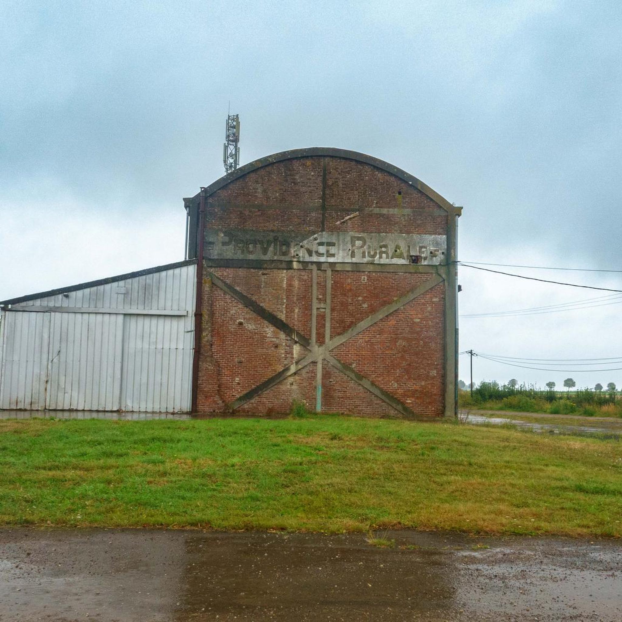
Former site of Fosse 14 - Stabilized path.
0
0

Small, easy-going single track that can be done on gravel and mountain bikes.
2
0

Located in the town of Vendin-lès-Béthune, this body of water is made up of two ponds. The first located on rue des Verts, shallow ditches less than 1m at their deepest. The second is accessible via rue Gustave Laforge, shallow less than 80cm
0
0

The Pont de Thiennes is a traffic bridge located on the Leie, connecting the municipalities of Thiennes and Aire-sur-la-Lys. The bridge was inaugurated in 2014. It is built of Soignies granite and was financed by the state (33.9%) for war damage, by the department of Pas-de-Calais (33.05%) and by the department of Nord (33.05%). The bridge is equipped with a lifting system to allow the passage of boats.
7
0
Frequently Asked Questions
How many gravel bike trails are available around Ligny-Lès-Aire?
There are 4 gravel bike trails available around Ligny-Lès-Aire, offering a range of experiences for different skill levels. All routes are currently rated as moderate or difficult.
What kind of terrain can I expect on gravel bike trails near Ligny-Lès-Aire?
The terrain around Ligny-Lès-Aire features a varied landscape with elevations ranging from 52 to 132 meters. You can expect a mix of paved and unpaved surfaces, often passing through natural areas and offering diverse cycling experiences suitable for gravel biking.
Are there any circular gravel bike routes in the Ligny-Lès-Aire area?
Yes, many of the gravel routes around Ligny-Lès-Aire are designed as loops. For example, you can explore the Linghem Wood – The Thiennes Bridge loop from Ham-en-Artois or the Waterfall of Nave river in Bourecq – Ligny-les-Aire loop from Ham-en-Artois, both offering scenic circular rides.
What historical landmarks or natural features can I see along the gravel bike trails?
The routes often combine natural beauty with historical interest. You might encounter the 17th-century Moulin Espagnol d'Enquin les Mines, which features a water wheel and a dam creating a waterfall. The Waterfall of Nave river in Bourecq – Ligny-les-Aire loop from Ham-en-Artois specifically highlights a waterfall. Additionally, routes like the Enquin les Mines – Bomy Castle loop from Enguinegatte pass by historical sites such as Bomy Castle.
Are there any family-friendly gravel biking options near Ligny-Lès-Aire?
While all listed routes are currently rated as moderate or difficult, the region's diverse landscapes and natural parks offer potential for family-friendly exploration. It's recommended to check the specific route details for distance and elevation to ensure it matches your family's ability. The Enquin les Mines – Bomy Castle loop from Enguinegatte is the shortest at 22.9 km, which might be a good starting point for more active families.
What are some notable attractions in the wider Ligny-Lès-Aire area that I could visit?
Beyond the trails, the region offers several points of interest. You can visit the impressive Saint-Pierre Collegiate Church of Aire-sur-la-Lys, a significant example of Flamboyant and Renaissance architecture. The area also features the Moulin Espagnol d'Enquin les Mines, a historic water mill.
What is the longest gravel bike route available in this guide?
The longest gravel bike route featured is the Waterfall of Nave river in Bourecq – Ligny-les-Aire loop from Ham-en-Artois, covering 58.6 kilometers. This moderate route is estimated to take around 4 hours and 6 minutes to complete.
Are there any routes that offer a good picnic spot?
Yes, the Bomy Castle – Nice picnic place! loop from Bomy explicitly mentions a nice picnic spot, making it a great option for a leisurely ride combined with a meal outdoors. This route is 37.5 kilometers long and takes approximately 3 hours and 6 minutes.
What is the elevation gain like on these gravel trails?
The elevation gain varies across the routes. For instance, the Source of the Lys – Source of the River Lys loop from Lisbourg, a difficult route, features the highest elevation gain at approximately 528 meters. Other moderate routes like the Linghem Wood – The Thiennes Bridge loop from Ham-en-Artois have a more modest gain of around 247 meters.
What do other gravel bikers say about the trails around Ligny-Lès-Aire?
Over 11 gravel bikers have used komoot to explore the varied terrain around Ligny-Lès-Aire. They appreciate the blend of natural parks, historical landmarks, and diverse surfaces that define the region's gravel biking experience.
Are there any routes that pass through specific natural areas or woods?
Yes, the Linghem Wood – The Thiennes Bridge loop from Ham-en-Artois specifically explores Linghem Wood, offering a ride through a natural wooded area. Many routes in the region also pass through various natural parks, characteristic of the Hauts-de-France region.
Most popular routes around Ligny-Lès-Aire
Most popular attractions around Ligny-Lès-Aire

Get inspired with the komoot mobile app


Explore more
Browse the best Gravel rides in other regions.
