The best MTB trails around Montambert
4.7
(4)
30
riders
6
rides
Mountain biking around Montambert, located in France's Bourgogne-Franche-Comté region, offers routes through a predominantly rural environment. Over 56% of the land is covered by forests and semi-natural areas, providing varied terrain for exploration. The commune is situated in a valley with an elevation range of 198 to 252 meters, featuring gentle profiles and diverse inclines. Numerous man-made ponds, many dating back to the Middle Ages, add serene natural beauty to the forested routes.
Best mountain bike trails around Montambert
- The…
Last updated: October 15, 2026
5.0
(1)
13
riders
Moderate mountain bike ride. Good fitness required. Suitable for all skill levels.
9
riders
34.2km
01:43
60m
60m
Easy mountain bike ride. Great for any fitness level. Suitable for all skill levels.

4.3
(3)
3
riders
44.6km
02:48
120m
130m
Moderate mountain bike ride. Good fitness required. Suitable for all skill levels.
2
riders
62.3km
03:15
230m
230m
Moderate mountain bike ride. Good fitness required. Suitable for all skill levels.
2
riders
51.9km
02:50
240m
250m
Moderate mountain bike ride. Good fitness required. Suitable for all skill levels.
Our route recommendations are based on thousands of hikes, rides, and runs completed by other people on komoot.
Start today with a free account
Your next adventure awaits.

Tips from the Community

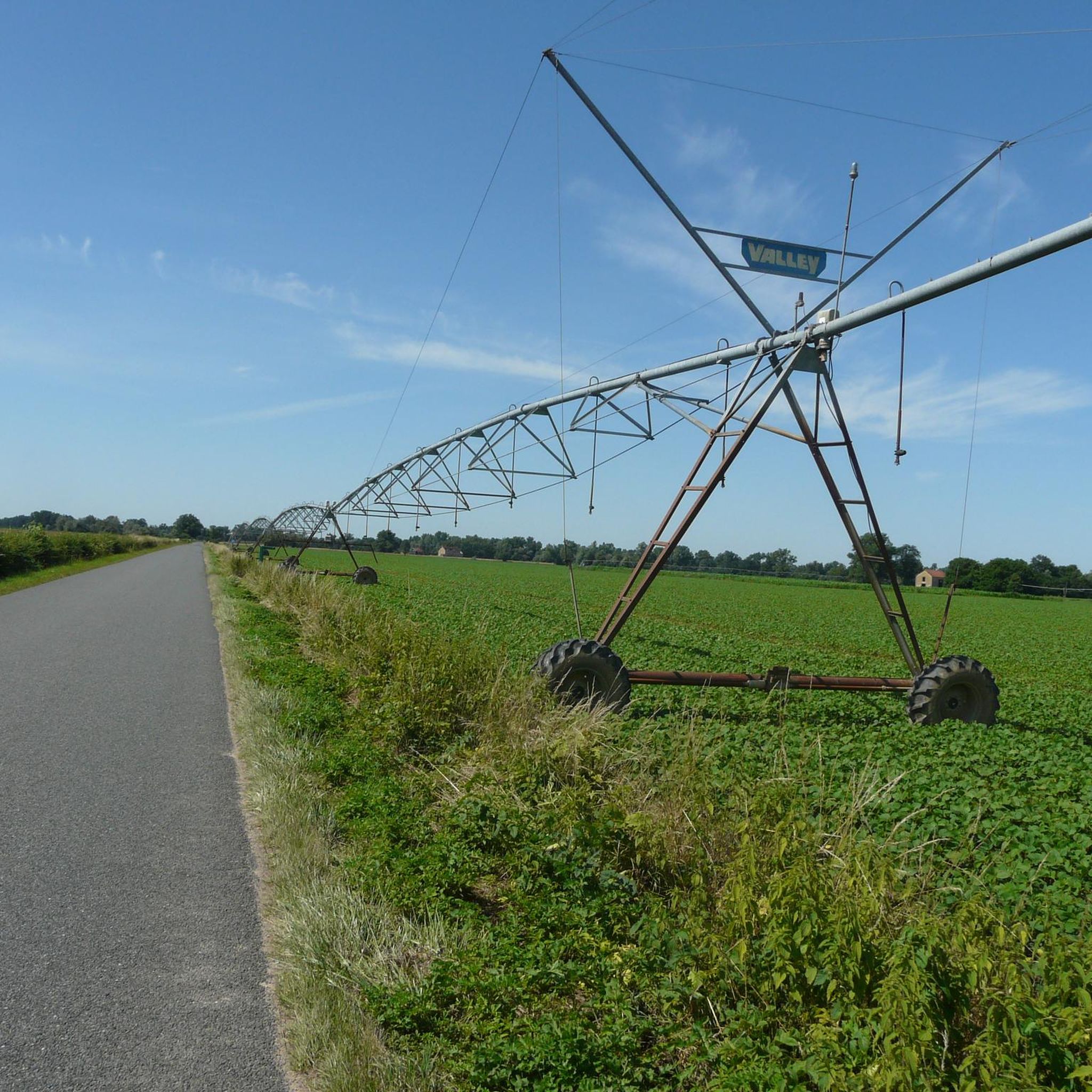
particularly nice canal to cycle along.
0
0

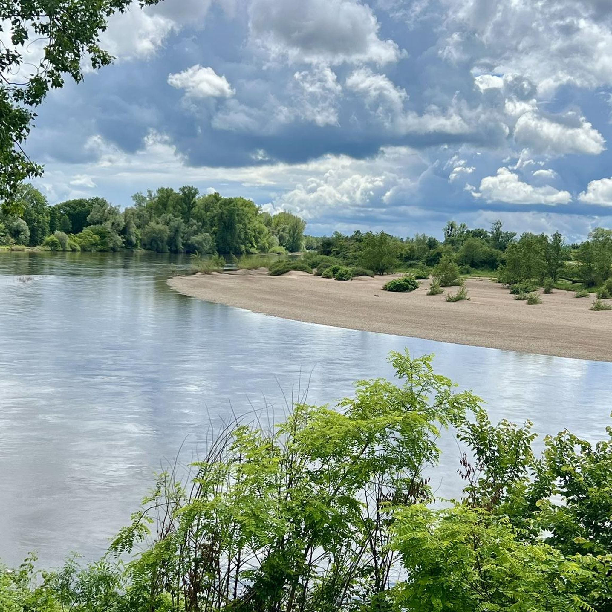
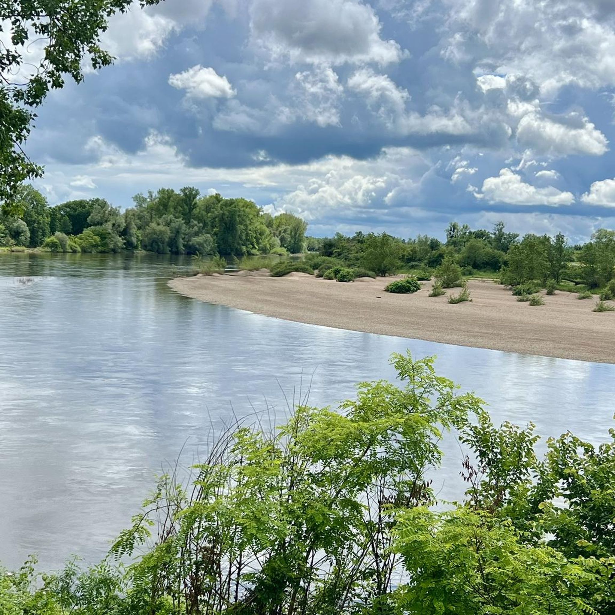
Beautiful picnic spot on the Loire with a barbecue area and access to the nature reserve. There is an opportunity for bivouacking at the picnic spot. Trash cans available. No drinking water
0
0


Frequently Asked Questions
How many mountain bike trails are available around Montambert?
There are several mountain bike trails directly accessible or starting near Montambert. Komoot currently lists 6 routes in the immediate vicinity, with many more available in the wider Nièvre department and the nearby Morvan Regional Natural Park, which boasts an extensive network of 2500 km of MTB trails.
Are there easy mountain bike trails suitable for beginners or families in Montambert?
Yes, Montambert offers easy mountain bike trails. For instance, the Nivernais Canal – Nivernais Canal loop from Cercy-la-Tour is an easy 35.0 km path that offers gentle terrain alongside the canal, perfect for a relaxed ride. The region's varied topography includes gentle profiles suitable for diverse biking experiences.
What kind of landscapes can I expect on mountain bike trails near Montambert?
Mountain bike trails near Montambert traverse a predominantly rural environment, with over 56% of the land covered by dense forests and semi-natural areas. You'll encounter varied topography, including gentle inclines, and serene man-made ponds that date back to the Middle Ages, adding to the picturesque scenery. Many routes also follow the historic Nivernais Canal.
Are there any circular mountain bike routes in the Montambert area?
Yes, many of the mountain bike routes around Montambert are circular. Examples include the moderate Chaumigny Lock – Canal du Nivernais loop from Cercy-la-Tour, which is 73.1 km long, and the easier Nivernais Canal – Nivernais Canal loop from Cercy-la-Tour. Another popular option is the Mountainbike loop from Charrin, covering 51.7 km.
What are the typical distances and durations for mountain bike trails around Montambert?
Trail distances around Montambert vary, ranging from approximately 35 km for easier routes to over 70 km for more challenging ones. For example, the Nivernais Canal – Nivernais Canal loop from Cercy-la-Tour is 35.0 km and takes about 1 hour 46 minutes, while the Chaumigny Lock – Canal du Nivernais loop from Cercy-la-Tour is 73.1 km and typically takes around 3 hours 50 minutes.
What do other mountain bikers enjoy most about Montambert's trails?
The mountain bike trails around Montambert are highly rated by the komoot community, with an average score of 4.7 stars. Reviewers often praise the region's dense forests, varied topography, and the scenic beauty of the man-made ponds and canal-side paths. The options for different ability levels, from easy canal routes to more challenging forest trails, are also frequently highlighted.
Are there any specific attractions or points of interest along the mountain bike routes?
Yes, several points of interest can be found along or near the mountain bike routes. You can explore the historic Nivernais Canal, enjoy a break at a Picnic area on the banks of the Loire River, or take in the View of the Loire. The Cycle Path on the Loire Bourguignonne Levee also offers scenic riding.
What is the best season for mountain biking in Montambert?
Montambert's extensive forests and varied terrain make it enjoyable for mountain biking across multiple seasons. Spring and autumn offer pleasant temperatures and beautiful foliage, while summer provides longer daylight hours. The region's gentle profiles mean trails are generally accessible, though checking local weather conditions is always advisable.
Are there challenging mountain bike routes for experienced riders?
While Montambert itself features mostly easy to moderate trails, the wider Nièvre department and the nearby Morvan Regional Natural Park offer more challenging options. The Morvan boasts an extensive network of 2500 km of MTB trails, including those categorized as red and black, catering to advanced riders seeking more technical terrain and significant elevation changes.
Where can I find mountain bike trails with views of the Loire River?
You can find mountain bike trails offering views of the Loire River, particularly on routes that venture closer to the river. The Decize – View of the Loire loop from Gannay-sur-Loire is a 44.1 km moderate trail specifically designed to provide scenic views of the Loire. Another option is the Decize – View of the Loire loop from Cronat, which is 62.1 km long.
What are the elevation changes like on mountain bike trails around Montambert?
The Montambert area is situated in a valley with an elevation range of 198 to 252 meters, characterized by gentle profiles and varied inclines. While individual routes may have moderate climbs, such as the Chaumigny Lock – Canal du Nivernais loop from Cercy-la-Tour with 282 meters of elevation gain, the overall topography is not overly mountainous, making it accessible for a range of riders.
Most popular attractions around Montambert

Get inspired with the komoot mobile app


Explore more
Browse the best MTB trails in other regions.
