The best walks and hikes around Castelmassa
5.0
(2)
38
hikers
23
hikes
Hiking around Castelmassa offers access to a network of trails primarily characterized by flat, riverine landscapes. The region features extensive Po River embankments and tranquil countryside paths. These routes often traverse nature areas and agricultural lands, providing gentle gradients suitable for various activity levels. The terrain is generally level, with minimal elevation changes.
Best hiking trails around Castelmassa
- The most popular hiking route is Po Embankment – Access to Parco del Gruccione loop from Sermide, a 3.6 miles (5.8…
Last updated: June 24, 2026
3
hikers
5.78km
01:27
10m
10m
Easy hike. Great for any fitness level. Easily-accessible paths. Suitable for all skill levels.
7
hikers
9.82km
02:29
20m
20m
Moderate hike. Good fitness required. Easily-accessible paths. Suitable for all skill levels.

Sign up for free
6
hikers
7.77km
01:58
20m
20m
Easy hike. Great for any fitness level. Easily-accessible paths. Suitable for all skill levels.
6
hikers
8.48km
02:09
10m
10m
Moderate hike. Good fitness required. Easily-accessible paths. Suitable for all skill levels.
4
hikers
Easy hike. Great for any fitness level. Easily-accessible paths. Suitable for all skill levels.
Get access to more routes and recommendations from other explorers.
Sign up for free
Already have an account?
Our route recommendations are based on thousands of hikes, rides, and runs completed by other people on komoot.
Start today with a free account
Your next adventure awaits.
Login or Signup
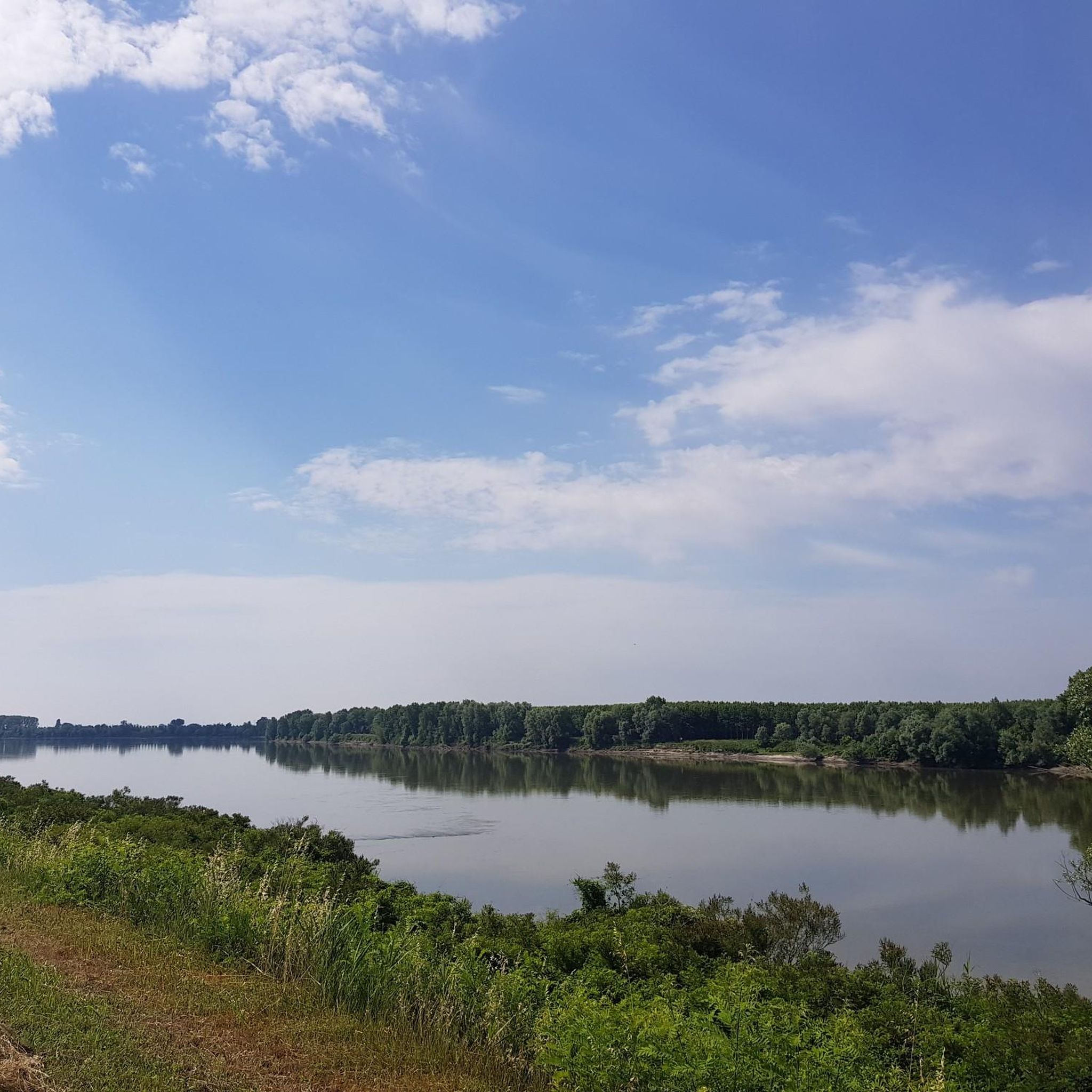
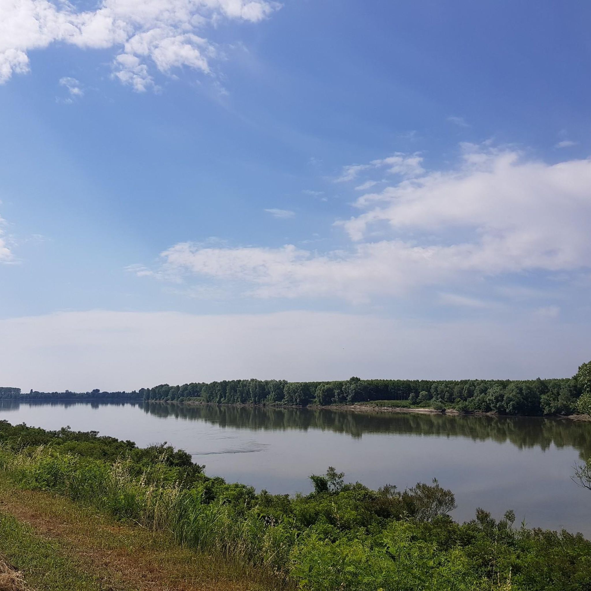
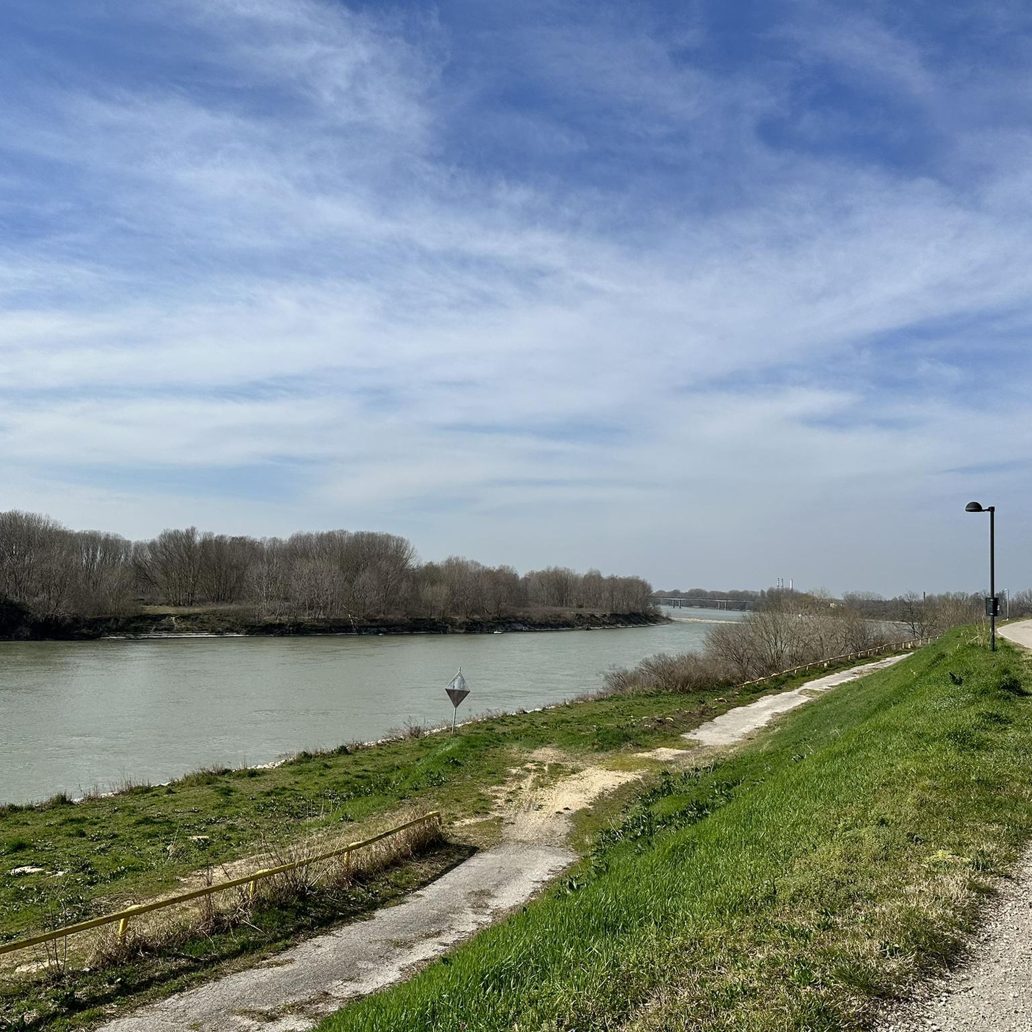
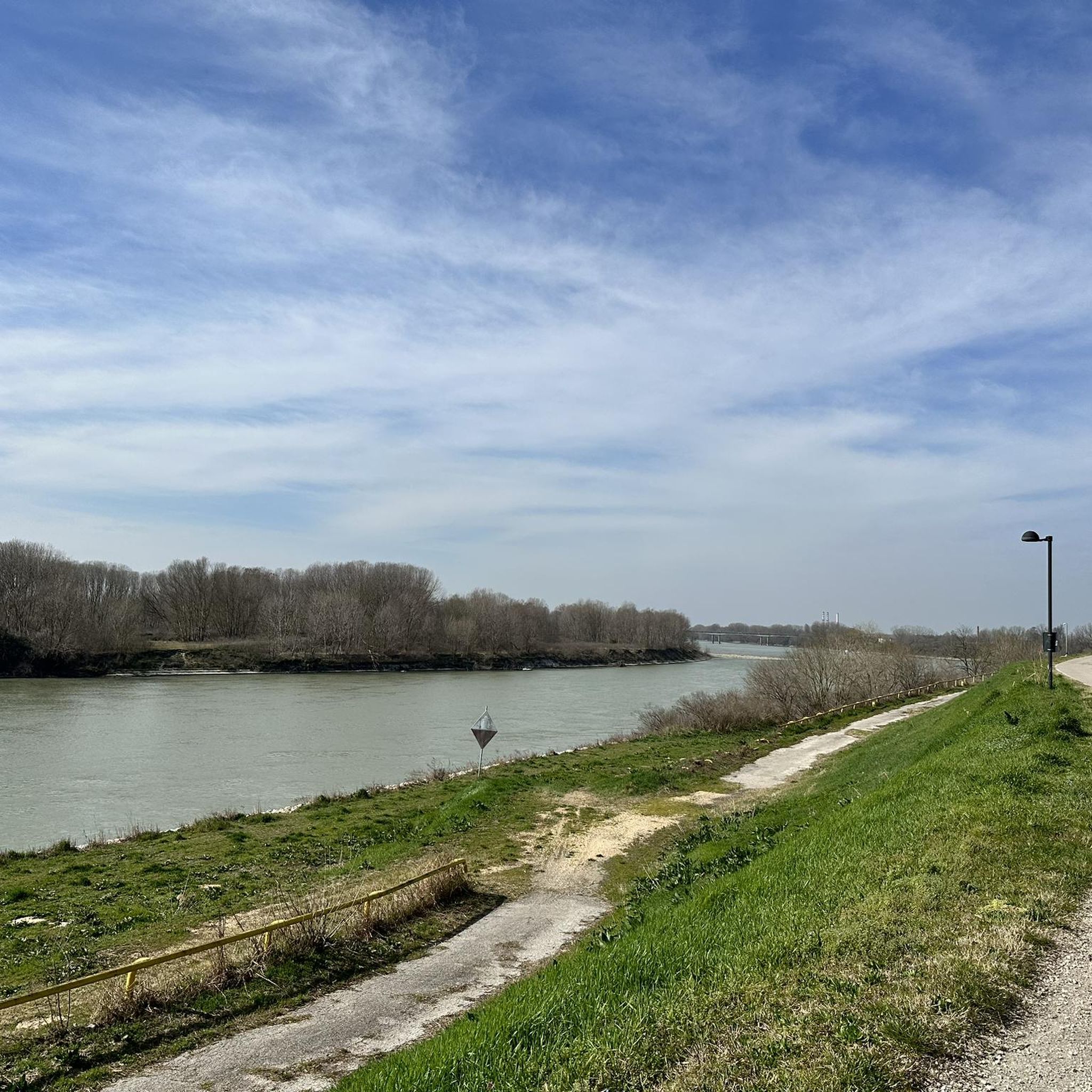
Tips from the Community

Beautiful cycle/pedestrian path
0
0
The Po River is beautiful
0
0
Here is the Gruccione park
0
0
Frequently Asked Questions
How many hiking trails are available around Castelmassa?
There are over 20 hiking trails around Castelmassa, offering a variety of options for exploring the region's riverine landscapes and countryside.
Are there easy hiking trails suitable for beginners or families?
Yes, Castelmassa is ideal for beginners and families, with 15 out of 20 trails rated as easy. These routes feature gentle gradients along river embankments and quiet countryside paths. A great option is the Po Embankment – Access to Parco del Gruccione loop from Sermide, which is 3.6 miles (5.8 km) long and generally flat.
Can I find circular hiking routes in Castelmassa?
Many of the trails around Castelmassa are circular, allowing you to start and end at the same point. Examples include the Hiking loop from Bergantino, which explores open fields, and the Golena Countryside Paths – Anchor Monument loop from Caposotto.
What kind of scenery can I expect on the hikes?
The hiking trails in Castelmassa primarily offer views of the Po River, its extensive embankments, and tranquil agricultural landscapes. You'll experience open countryside, nature areas, and riverine environments, characterized by flat terrain and minimal elevation changes.
Are the hiking trails in Castelmassa dog-friendly?
Generally, the open countryside and river embankment paths around Castelmassa are suitable for dogs, provided they are kept under control. Always check local regulations for specific nature reserves or protected areas you might encounter along your chosen route.
What are some interesting places to see near the hiking trails?
While hiking, you can explore several nearby attractions. Consider visiting the historic Stellata Stronghold or the Castello di Sariano. For natural sights, the Gorgo della Sposa lake and the Isola Boscone forest are notable.
Is there parking available at the trailheads?
Many of the hiking routes in the Castelmassa area, particularly those starting from towns like Sermide, Bergantino, or Caposotto, offer convenient parking options nearby. It's advisable to check the specific route details on komoot for precise parking information before you set out.
What is the typical length of hikes around Castelmassa?
Hikes around Castelmassa vary in length, with many routes falling between 3.5 to 6 miles (5.5 to 9.5 km). For example, the Golena Nature Trail – Golena Cibo Entrance loop from Castelnovo Bariano is about 3.7 miles (5.9 km), while the Golena Cibo Entrance – Golena Nature Trail loop from Castelmassa is around 5 miles (8.1 km).
Are there any natural monuments or reserves to explore?
Yes, the region features several natural areas. You can explore the Parco Golenale del Crostolo or the Isola Boscone Nature Reserve, which offer opportunities to observe local flora and fauna in their natural riverine habitats.
What do other hikers enjoy most about hiking in Castelmassa?
Hikers often praise the peaceful and flat nature of the trails, making them accessible for various fitness levels. The scenic views along the Po River embankments and the tranquility of the countryside paths are frequently highlighted as enjoyable aspects of the Castelmassa hiking experience.
When is the best time of year to hike in Castelmassa?
Spring and autumn are generally the most pleasant seasons for hiking in Castelmassa, offering mild temperatures and beautiful natural colors. Summer can be warm, so early morning or late afternoon hikes are recommended. Winter hiking is possible, but be prepared for cooler, potentially damp conditions.
Most popular attractions around Castelmassa

Get inspired with the komoot mobile app


Explore more
Browse the best Hikes in other regions.
