The best walks and hikes around Grottole
4.6
(20)
79
hikers
23
hikes
Hiking around Grottole offers diverse terrain in the Basilicata region of southern Italy. The area is characterized by its location between the Basento and Bradano river valleys, providing varied landscapes for exploration. Hikers can discover the unique geological formations of Grottole's Badlands, featuring dry, clay-rich soil. The region also includes mountainous terrain, with Grottole itself situated at 481 meters above sea level, and dense forests, particularly around nearby villages. Prehistoric caves, from which the town derives its name, add a…
Last updated: June 29, 2026
5.0
(1)
15
hikers
17.7km
04:55
300m
300m
Moderate hike. Good fitness required. Easily-accessible paths. Suitable for all skill levels.
5.0
(2)
11
hikers
29.4km
09:00
1,000m
1,000m
Hard hike. Very good fitness required. Easily-accessible paths. Suitable for all skill levels.

Sign up for free
5.0
(2)
17
hikers
25.6km
07:07
460m
460m
Hard hike. Very good fitness required. Easily-accessible paths. Suitable for all skill levels.
5.0
(1)
4
hikers
19.8km
05:45
500m
500m
Hard hike. Very good fitness required. Easily-accessible paths. Suitable for all skill levels.
5.0
(2)
2
hikers
6.33km
01:44
100m
100m
Easy hike. Great for any fitness level. Easily-accessible paths. Suitable for all skill levels.
Get access to more routes and recommendations from other explorers.
Sign up for free
Already have an account?
Our route recommendations are based on thousands of hikes, rides, and runs completed by other people on komoot.
Start today with a free account
Your next adventure awaits.
Login or Signup

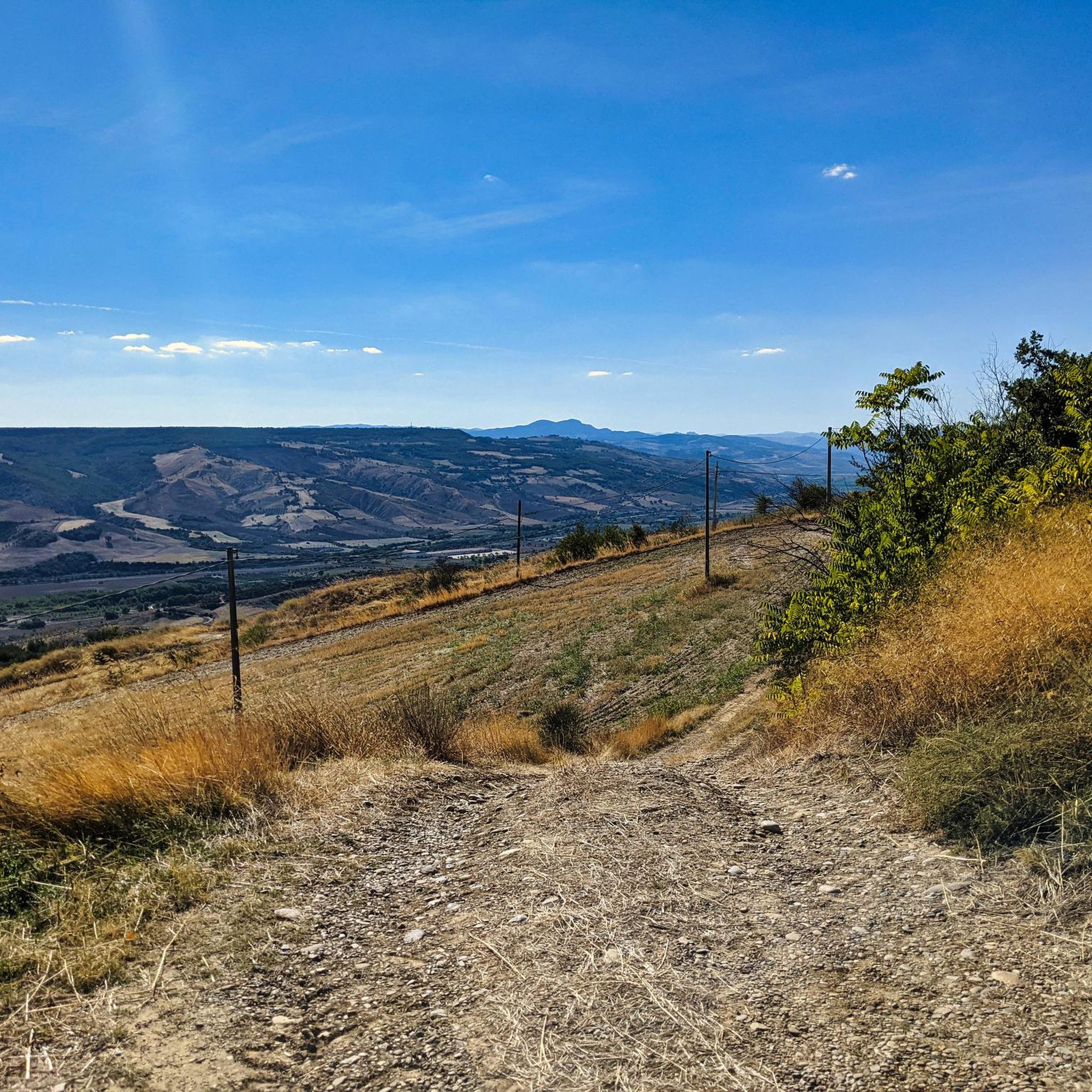
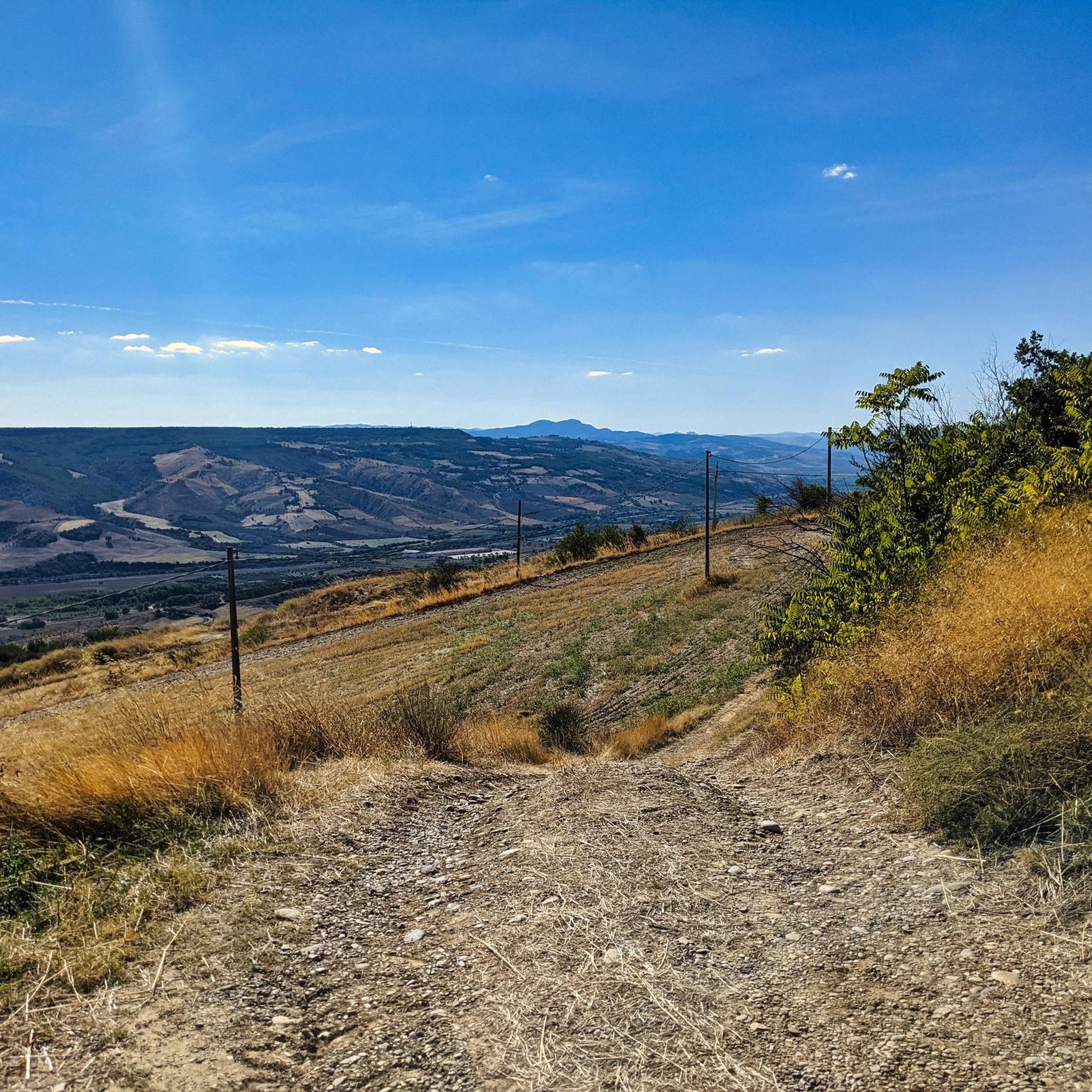
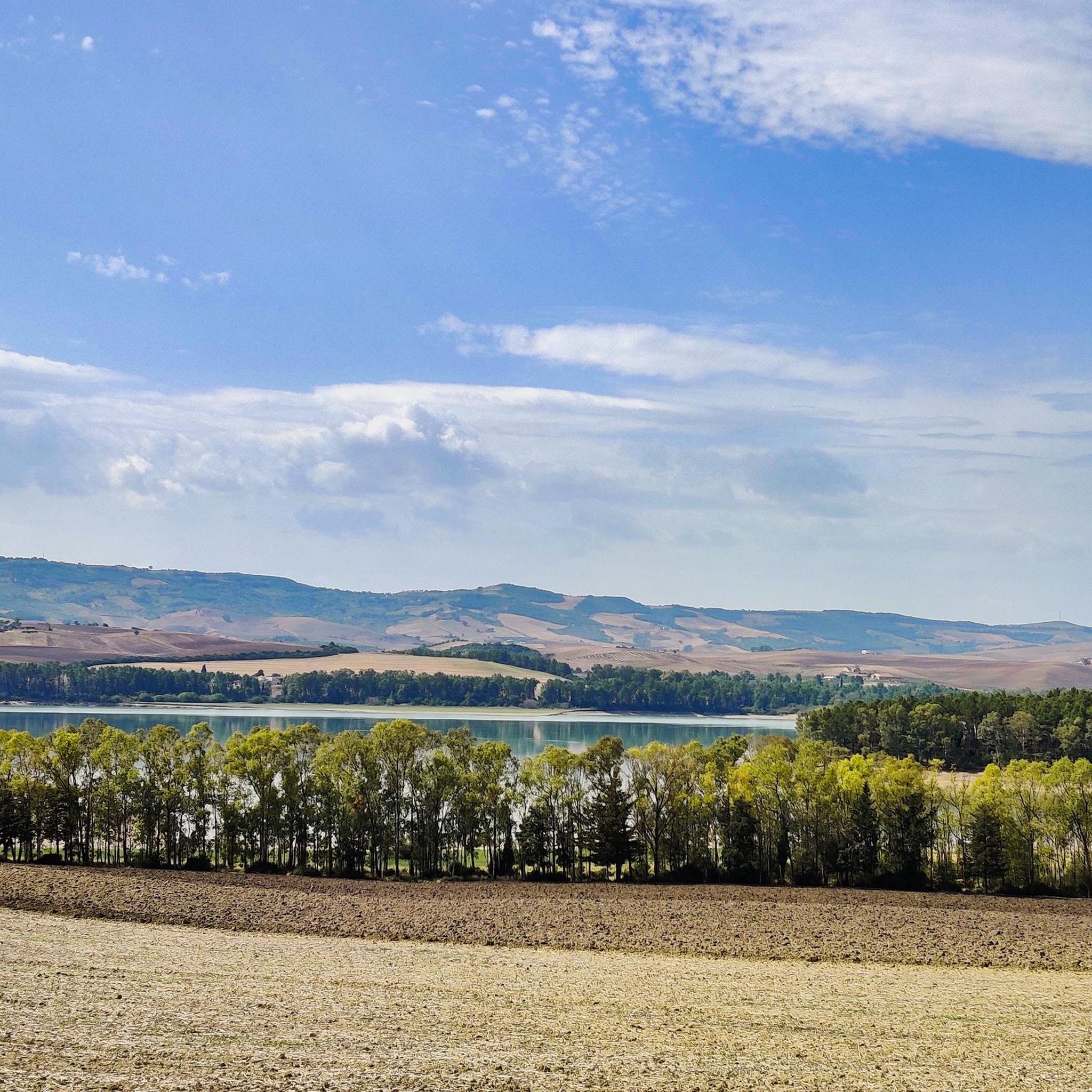
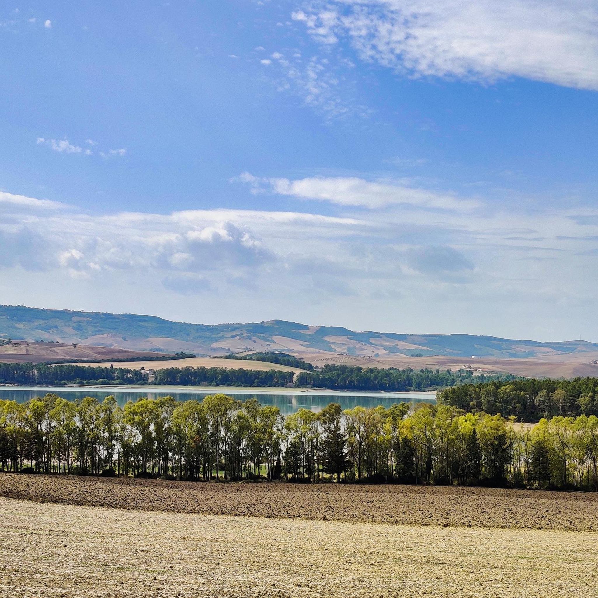
Other adventures around Grottole

Tips from the Community

There are no sources of water supply unless you find the QUERCUS refuge open, which we found closed (Sunday, around 1.20pm).
0
0
After an initial section of scrub and scorched woods (starting from the Pedicotta farmhouse), a path finally begins inside a forest: shade, animal and insect tracks.
0
0

The Sanctuary of Santa Maria di Picciano, located near Matera, is a place of profound spirituality and history. It houses an ancient image of the Madonna, a place of pilgrimage. Its architecture, blending Romanesque and Baroque elements, and its panoramic location make it a site of great charm, evoking centuries of devotion and meditation.
0
0
From here, the view opens onto a picturesque landscape: on one side, you can admire the imposing Ponte della Gravina, an 18th-century engineering feat that connects the two banks of the canyon, and on the other, the deep ravine with its natural landscape. In the distance, you can make out the outline of the historic center, perched on the hill.
0
0

Fabulous Malconsiglio Castle, where the famous Conspiracy of the Barons took place.
0
0

Really? Groundbreaking new highlight? It already exists x-times...
0
0
Honestly? It's stupid to constantly create new highlights that already exist in one form or another. Why do you do that?
0
0
There are already several highlights where this photo could have been added. An overabundance of highlights is not useful. One "view" or, in case of doubt, the tenth "view" is not a useful highlight.
0
0
Frequently Asked Questions
What kind of terrain can I expect when hiking around Grottole?
Grottole offers a diverse range of terrain, from the fertile valleys of the Basento and Bradano rivers to unique geological formations like the Grottole's Badlands, characterized by dry, clay-rich soil. You'll also find mountainous areas, with Grottole itself perched at 481 meters, and dense forests, particularly around villages like Garaguso. The region's ancient history is also evident, with prehistoric caves adding a unique element to some routes.
Are there any easy hiking trails suitable for beginners in Grottole?
Yes, Grottole offers several easier routes. For instance, the Hiking loop from Gravina in Puglia is an easy 3.8-mile (6.1 km) trail that can typically be completed in under two hours, making it a good option for those new to hiking or looking for a relaxed walk.
What natural features or landmarks can I discover on hikes near Grottole?
Hiking around Grottole allows you to explore several natural and historical landmarks. You can discover the unique 'alien landscape' of the Grottole's Badlands, or explore the protected natural beauty of the San Giuliano Regional Reserve, which is an oasis of scenic beauty. The area is also rich in prehistoric caves, from which the town derives its name, particularly in the Serritiello area. For stunning views, consider routes that offer panoramas of the Basento River Valley.
Are there any circular hiking routes available in the Grottole area?
Yes, many of the trails around Grottole are designed as loops, offering varied scenery without retracing your steps. An example is the challenging Hiking loop from Serra Carbonara, which covers over 25 km. There are also shorter loop options for different fitness levels.
What do other hikers say about the trails in Grottole?
The hiking routes in Grottole are highly regarded by the komoot community, with an average score of 4.6 stars from over 20 reviews. Hikers often praise the diverse landscapes, from river valleys to unique geological formations, and the opportunity to explore both natural beauty and historical sites.
Can I find trails that pass by lakes or other water bodies near Grottole?
Yes, the region around Grottole features several beautiful lakes. You can find highlights such as the View of Lake San Giuliano and the San Giuliano Dam, or the Manferrara Pond. The San Giuliano Lake Nature Reserve is also a significant natural attraction offering opportunities for nature observation near water.
Are there any historical sites or villages to explore while hiking in Grottole?
Absolutely. Grottole itself is a historic village, and exploring its Historic Center of Grottole with its cobbled streets and ancient buildings is a charming experience. You can also find trails that lead to or near other historical points of interest, such as the Malconsiglio Castle of Miglionico or the Santuario Santa Maria di Picciano. The village of Garaguso Village, perched at 500 meters, also offers scenic views and a sense of history.
What is the best time of year to go hiking in Grottole?
Grottole's Mediterranean climate generally makes spring and autumn ideal for hiking, offering pleasant temperatures and vibrant landscapes. Summers can be hot, especially in the river valleys, so early mornings or late afternoons are recommended if hiking during this season. Winters are mild but can bring occasional rain.
Are there any challenging long-distance hikes in the Grottole area?
Yes, for experienced hikers seeking a challenge, Grottole offers several difficult long-distance routes. The Piazza Benedetto XIII – Gravina Aqueduct Bridge loop from Rifugio Bosco Difesa Grande is a difficult 15.0-mile (24.2 km) trail, and the Grassano Historical Center – Nativity Scene of Grassano loop from Grassano is an even longer 18.1-mile (29.1 km) path, both featuring significant elevation changes.
How many hiking trails are available around Grottole?
There are nearly 20 hiking trails available around Grottole, catering to various skill levels. This includes 6 easy routes, 8 moderate routes, and 4 difficult routes, ensuring options for everyone from casual walkers to experienced trekkers.
Where can I find panoramic viewpoints during my hikes?
Grottole, being built on a mountain at 481 meters above sea level, naturally offers many panoramic views. The Piazza Gerardo Guerrieri in Grottole is known for breathtaking sunsets over the Basento River Valley. The historic castle, situated on a hill, also served as an ancient lookout and provides commanding views of the surrounding natural scenery. Additionally, the View of Lake San Giuliano from Colle Timmari is a notable viewpoint.
Most popular attractions around Grottole

Get inspired with the komoot mobile app


Explore more
Browse the best Hikes in other regions.
