The best waterfall hikes and walks around Reinheimen
4.5
(957)
6,526
hikers
3
hikes
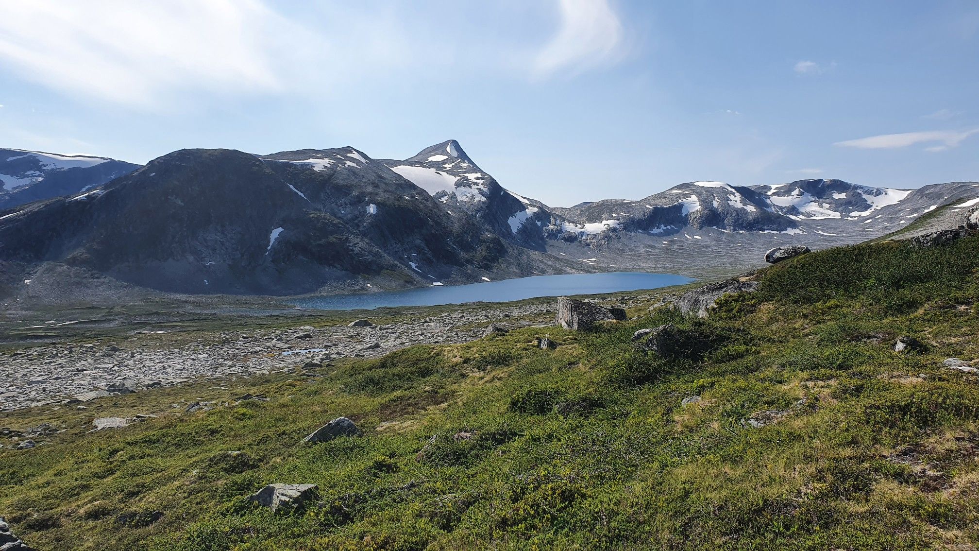
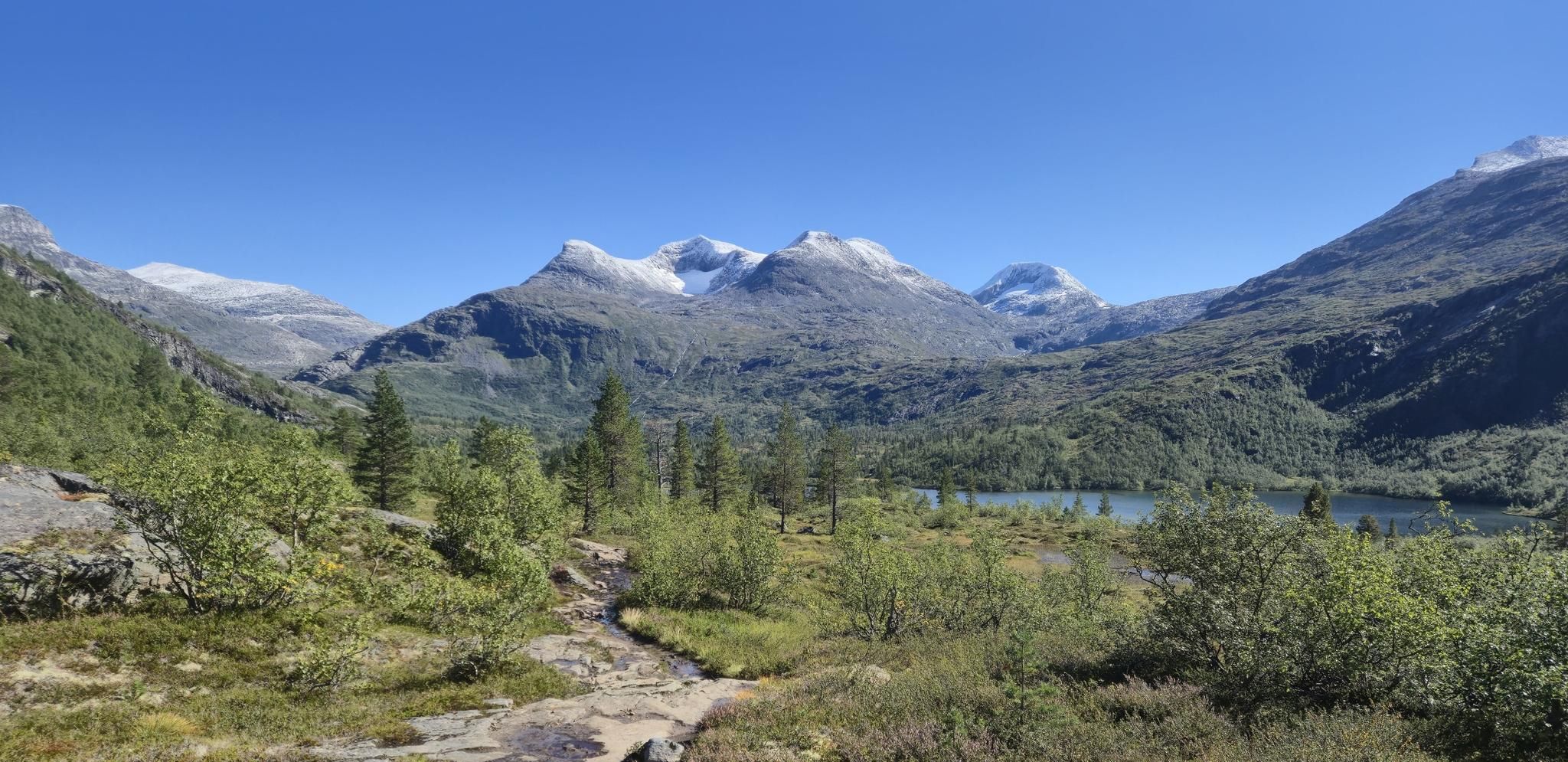
Waterfall hiking trails around Reinheimen traverse a diverse landscape, from deep, forested valleys to high alpine plateaus and peaks. The region is characterized by dramatic, sharply pointed peaks and U-shaped valleys carved by glacial activity. Several rivers, including the Istra and Rauma, flow through the park, creating numerous cascades. This varied topography supports diverse ecosystems, offering a range of natural features for hikers to explore.
Best waterfall hiking trails around Reinheimen
- The most popular waterfall hiking route is Kløvstien Trail, an 8.3 miles (13.3 km) difficult trail that takes 4 hours 56 minutes to complete. This route offers views of the dramatic mountain terrain and river valleys.
- Another top favourite among local hikers is Trollstigen Visitor Center – Trollstigen loop from Isterdalen, a difficult 4.1 miles (6.6 km) path. This trail provides access to the iconic Trollstigen area, known for its impressive rock formations and waterfalls.
- Local hikers also love the Trail to Reindalseter, a 7.6 miles (12.3 km) trail leading through varied mountain terrain, often completed in about 4 hours 32 minutes.
- Hiking around Reinheimen is defined by glacial valleys, high alpine plateaus, and rapidly flowing rivers. The network offers options for different ability levels, from moderate paths to challenging mountain ascents.
- The routes in Reinheimen are highly rated by the komoot community with an average score of 4.5 stars from over 900 reviews. More than 6000 hikers have used komoot to explore Reinheimen's varied terrain.
Last updated: June 29, 2026
4.8
(11)
47
hikers
13.3km
04:56
710m
710m
Hike the difficult 8.3-mile Kløvstien Trail, gaining 2343 feet in elevation with stunning views of Stigfossen Waterfall and Trollstigen.
5.0
(8)
67
hikers
6.42km
02:42
440m
440m
Hard hike. Good fitness required. Sure-footedness, sturdy shoes and alpine experience required.

Sign up for free
5.0
(5)
34
hikers
12.3km
04:32
400m
400m
Hike the moderate 7.6-mile Trail to Reindalseter, gaining 1301 feet in elevation through a glacial valley to the Reindalseter Cabin.
15
hikers
3.48km
00:53
10m
10m
Easy hike. Great for any fitness level. Easily-accessible paths. Suitable for all skill levels.
Our route recommendations are based on thousands of hikes, rides, and runs completed by other people on komoot.
Start today with a free account
Your next adventure awaits.
Login or Signup

Tips from the Community

Well done on the Trollstiegen pass
0
0

Lom Stave Church is one of Norway's largest and most well-preserved stave churches, located in the village of Lom. Dating back to the 12th century, it is famous for its dragon-head carvings on the roof and its richly decorated interior, which includes intricate carvings and frescoes. Unlike many other stave churches, it has remained in continuous use for centuries and has been expanded over time, most notably with the addition of a transept in the 17th century.
1
0

Norway's most famous serpentine road should be visited early because it gets crowded during peak season.
2
0

Reindalseter is something of a hub where the Tafjordfjella hiking network is concerned. This charming complex has a cafe, electricity, drying rooms and the opportunity to take a hot shower. With its ancient pines and vibrant wildlife, Reindalen itself is a delight; the hike to Zakariasvatnet and the roaring Reindalsfossen is particularly beautiful. Meanwhile, the cabin is the ideal base for summit hikes to Naushornet and Svartegga.
0
0

The Trollstigen is one of the most impressive mountain roads in Europe. It climbs a good 400 meters in 11 hairpin bends and connects Romsdalen with Geiranger. The viewing platforms offer a fantastic view of the pass. But the most impressive part, for me, is the crossing of the 320-meter-high waterfall, Stigfossen.
8
1

The climb from Andalsnes is closed until July 14, 2025, due to landslide repairs, but the south side of Trollstigen is open up to the viewpoint. On a clear day, you can see the switchbacks – a must-see on any 🇳🇴 trip!
0
0

On this hiking trail, you will encounter numerous information panels that will teach you something about the history of this region.
0
0

Norway - Views from the upper parking and rest area "Trollstiegen".
0
0
Frequently Asked Questions
How many waterfall hiking trails are featured in this guide for Reinheimen?
This guide highlights 3 distinct waterfall hiking trails around Reinheimen. These routes offer a range of experiences, from moderate paths to more challenging mountain ascents, allowing you to explore the region's dramatic landscapes and numerous cascades.
Are there waterfall hikes suitable for different difficulty levels in Reinheimen?
Yes, Reinheimen offers waterfall hikes for various skill levels. This guide includes 1 moderate trail, the Trail to Reindalseter, and 2 difficult trails, such as the Kløvstien Trail and the Trollstigen Visitor Center – Trollstigen loop from Isterdalen. The park's varied topography ensures options for both experienced hikers and those looking for a moderate challenge.
What kind of landscapes can I expect to see on waterfall hikes in Reinheimen?
Waterfall hikes in Reinheimen traverse an incredibly diverse landscape. You'll encounter deep, forested valleys, high alpine plateaus, and dramatic, sharply pointed peaks. The region is characterized by U-shaped valleys carved by glacial activity and rapidly flowing rivers, which create the numerous cascades you'll discover. Expect stunning views of wild mountain terrain and diverse ecosystems.
What are some notable natural features or landmarks to look out for near the waterfall trails?
Beyond the waterfalls themselves, Reinheimen is rich in natural wonders. You might encounter the impressive Edge of Trollveggen Wall, Europe's highest vertical rock face, or the unique Torabru Natural Rock Bridge. The park also features glacial valleys, cirque lakes, and diverse flora and fauna, including wild reindeer.
When is the best time of year to go waterfall hiking in Reinheimen?
The best time for waterfall hiking in Reinheimen is typically during the summer months, from late June to early September. During this period, the snow has largely melted, trails are more accessible, and the rivers are often at their fullest, making the waterfalls particularly spectacular. The alpine meadows also burst with wildflowers during the brief summer season.
Are there any family-friendly waterfall hiking options in Reinheimen?
While many trails in Reinheimen are challenging, some areas offer more accessible paths. For a relatively easy walk that includes river views, consider the Bøvra River – Lom Stave Church loop from Lom stavkyrkje. When planning with family, always check the specific trail's difficulty and length to ensure it matches your group's abilities.
Can I bring my dog on waterfall hikes in Reinheimen?
Many trails in Reinheimen National Park are dog-friendly, but it's crucial to keep dogs on a leash, especially during nesting seasons for birds and when wild reindeer are present. Always check local regulations for specific trails or protected areas within the park. Maintaining control of your dog helps protect the park's wildlife and ensures a pleasant experience for all hikers.
What should I wear for waterfall hiking in Reinheimen?
Given the varied terrain and often unpredictable mountain weather, it's essential to dress in layers. Waterproof and windproof outer layers are highly recommended, as are sturdy hiking boots with good ankle support. Even in summer, temperatures can drop quickly, and rain is common. Bring extra warm clothing, a hat, and gloves, especially for higher elevations.
Are there any circular waterfall routes in Reinheimen?
Yes, some routes offer a circular experience. For instance, the Trollstigen Visitor Center – Trollstigen loop from Isterdalen provides a loop trail that allows you to return to your starting point without retracing your steps, offering diverse views of the iconic Trollstigen area and its waterfalls.
What do other hikers say about the waterfall trails in Reinheimen?
The hiking routes in Reinheimen are highly regarded by the komoot community, with an impressive average rating of 4.5 stars from over 900 reviews. Hikers often praise the dramatic mountain terrain, the pristine natural beauty, and the sense of wilderness found along these trails, especially those leading to the spectacular waterfalls.
Is there public transport available to reach the starting points of waterfall hikes?
Public transport options to the more remote trailheads within Reinheimen National Park can be limited. It's advisable to research specific routes and their accessibility in advance. Some areas might be reachable by bus services during peak season, but for many trails, personal vehicles or organized tours are often the most practical way to get to the starting points.
Where can I find parking for waterfall hikes in Reinheimen?
Parking availability varies by trailhead. For popular areas like Trollstigen, there are designated visitor centers with parking facilities. For more remote trails, parking might be limited to small pull-offs or designated areas. Always check specific route descriptions for parking information and be mindful of local regulations to avoid obstructing access or damaging the environment.
Most popular routes around Reinheimen
Most popular attractions around Reinheimen

Get inspired with the komoot mobile app


Explore more
Browse the best Hikes in other regions.
