The best MTB trails around Kommunanz Reckingen-Gluringen/Grafschaft
4.6
(801)
7,983
riders
61
rides
Mountain biking around Kommunanz Reckingen-Gluringen/Grafschaft offers a diverse landscape characterized by high alpine passes, deep valleys like the Goms Valley, and views of prominent peaks such as Breithorn and Galmihorn. The region includes challenging ascents and descents, often featuring switchbacks and trails near reservoirs like Binna, providing varied terrain for mountain bikers. This area is known for its mountainous environment, with trails that navigate through elevated terrain and offer extensive vistas.
Best mountain bike trails around Kommunanz Reckingen-Gluringen/Grafschaft
- The most…
Last updated: July 4, 2026
4.9
(120)
1,184
riders
78.2km
07:48
2,420m
2,420m
Hard mountain bike ride. Very good fitness required. Advanced riding skills necessary. Some portions of the route may require you to push your bike.
4.7
(37)
351
riders
33.3km
03:39
1,120m
1,120m
Hard mountain bike ride. Very good fitness required. Advanced riding skills necessary.

Sign up for free
4.8
(34)
338
riders
73.6km
07:42
2,150m
2,150m
Hard mountain bike ride. Very good fitness required. Advanced riding skills necessary. Some portions of the route may require you to push your bike.
4.8
(25)
205
riders
63.9km
05:38
1,570m
1,570m
Hard mountain bike ride. Very good fitness required. Advanced riding skills necessary. Some portions of the route may require you to push your bike.
4.1
(7)
78
riders
19.8km
02:16
780m
780m
Moderate mountain bike ride. Good fitness required. Suitable for all skill levels.
Get access to more routes and recommendations from other explorers.
Sign up for free
Already have an account?
Our route recommendations are based on thousands of hikes, rides, and runs completed by other people on komoot.
Start today with a free account
Your next adventure awaits.
Login or Signup
Popular around Kommunanz Reckingen-Gluringen/Grafschaft
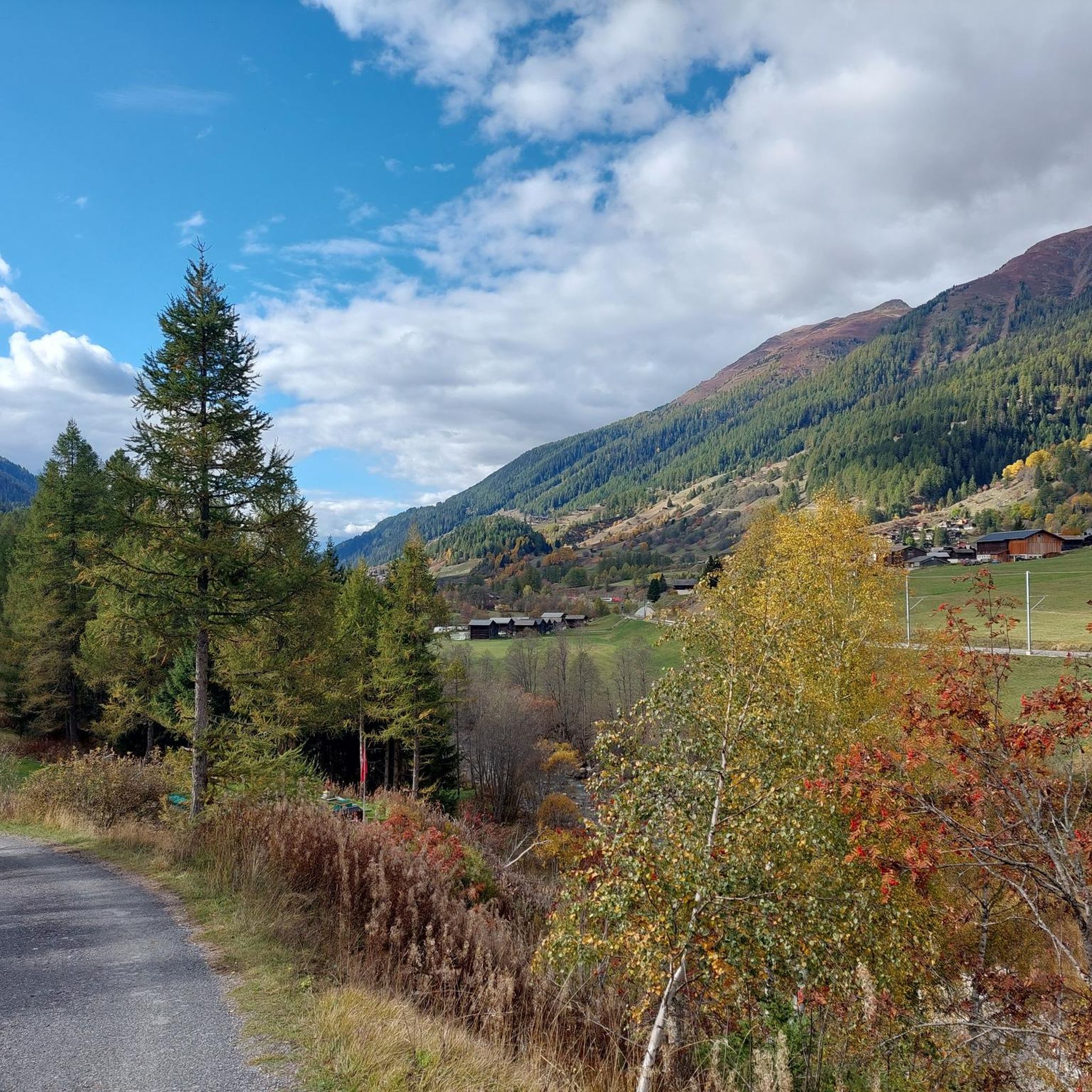
Road Cycling Routes around Kommunanz Reckingen-Gluringen/Grafschaft
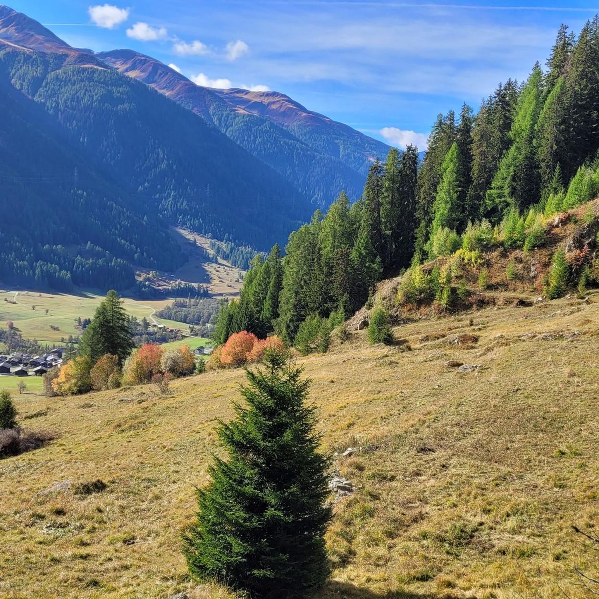
Cycling around Kommunanz Reckingen-Gluringen/Grafschaft
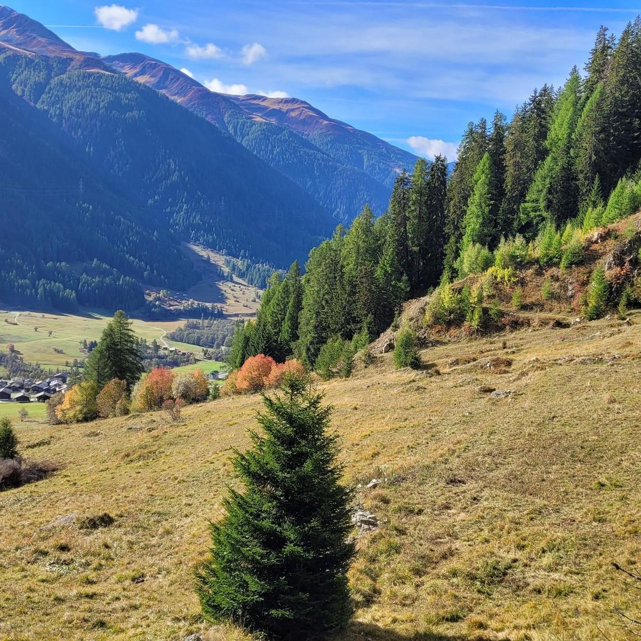
Hiking around Kommunanz Reckingen-Gluringen/Grafschaft
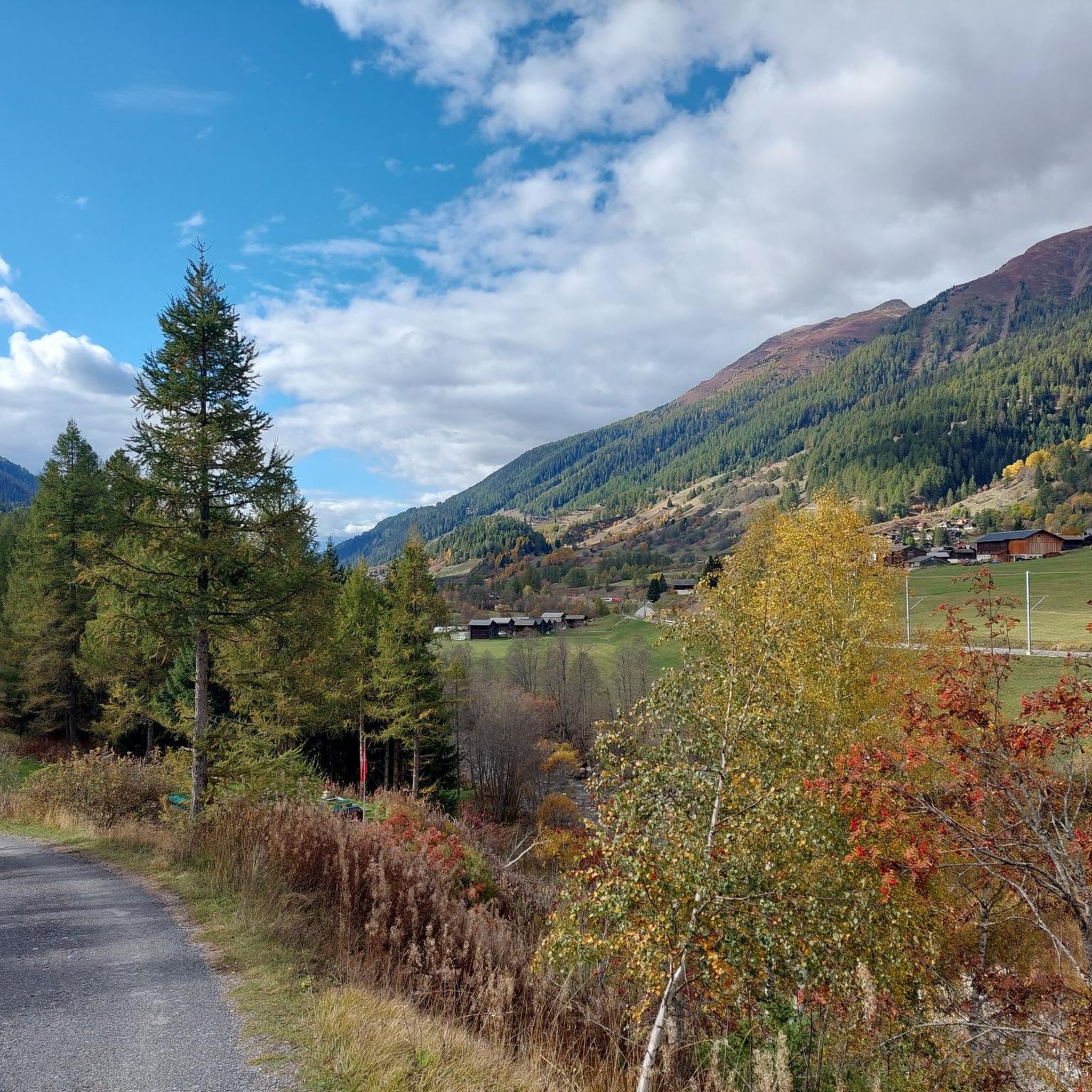
Running Trails around Kommunanz Reckingen-Gluringen/Grafschaft

Gravel biking around Kommunanz Reckingen-Gluringen/Grafschaft
Mountain Hikes around Kommunanz Reckingen-Gluringen/Grafschaft
Tips from the Community


pretty here, very pretty
1
0

Due to its geographical location and size, Münster is one of the focal points in Goms. In the village center, there are some stately buildings, as well as many simple, charming wooden houses. You will find good restaurants as well as shops here.
1
0
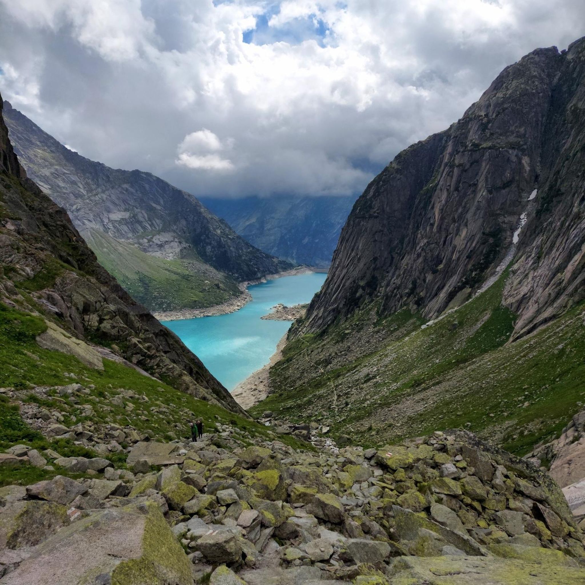
After the steep ascent on the serpentine path at Bächital, the trail branches off here and crosses towards the Galmihornhütte. After the gravel path, the ground changes to a narrow natural trail, marked white-red-white. On the mountain hiking trail, you ride through a stony, alpine scenery and can admire the view into the Obergoms on easier sections.
1
0

One of the largest Gommer villages.
1
0
Goethe himself passed through here in the 18th century on one of his trips to Italy.
2
0
Beautiful picnic spot on the Gommer Höhenweg trail
1
0
Frequently Asked Questions
What is the general difficulty level of mountain bike trails in Kommunanz Reckingen-Gluringen/Grafschaft?
The region offers a diverse range of mountain bike trails. Out of 64 available routes, 13 are considered easy, 16 are moderate, and 35 are difficult. This means there are options for various skill levels, though a significant portion caters to experienced riders seeking challenging alpine terrain.
Are there family-friendly mountain bike trails in Kommunanz Reckingen-Gluringen/Grafschaft?
While many trails in the region are challenging, there are 13 easy routes suitable for families or those looking for a less strenuous ride. These trails typically feature gentler gradients and less technical terrain, allowing for an enjoyable experience for all ages.
What are some good mountain bike trails for beginners in Kommunanz Reckingen-Gluringen/Grafschaft?
Beginners can explore the 13 easy routes available in the region. These trails are designed to be less demanding, offering a great introduction to mountain biking in the alpine landscape without the steep ascents or technical descents found on more difficult routes.
Which mountain bike trails are recommended for advanced riders in Kommunanz Reckingen-Gluringen/Grafschaft?
Advanced riders will find plenty of challenges among the 35 difficult routes. For instance, the Ascent to Fiescheralp – Tälligrat Tunnel loop from Reckingen is a demanding 45.7-mile trail with significant elevation gain, leading through mountainous terrain towards Fiescheralp.
What is the best time of year for mountain biking in Kommunanz Reckingen-Gluringen/Grafschaft?
The prime season for mountain biking in this high alpine region is typically from late spring through early autumn, roughly June to September. During these months, trails are generally free of snow, and weather conditions are more stable. Always check local conditions before heading out, especially for higher elevation routes.
Are there any circular mountain bike routes in Kommunanz Reckingen-Gluringen/Grafschaft?
Yes, many of the mountain bike trails in the region are designed as loops. An example is the Twingi Gorge – Ze Binne at the Binna Reservoir loop from Reckingen, a difficult 64 km route that offers a complete circuit through varied terrain.
What can I see along the mountain bike trails in Kommunanz Reckingen-Gluringen/Grafschaft?
The trails often offer stunning views of the Goms Valley and prominent peaks like Breithorn and Galmihorn. You might also encounter natural monuments and lakes. Notable attractions include Märjelensee and Oberaarglacier, both accessible from various routes.
What do other mountain bikers enjoy the most about mountain biking in Kommunanz Reckingen-Gluringen/Grafschaft?
The area is highly rated by the komoot community, with an average score of 4.7 stars from over 700 reviews. Reviewers often praise the diverse landscape, characterized by high alpine passes, deep valleys, and trails near reservoirs, offering extensive vistas and challenging terrain.
Are there any hidden gem mountain bike trails in Kommunanz Reckingen-Gluringen/Grafschaft?
While the region is known for its popular routes, exploring some of the less-trafficked moderate trails can reveal hidden gems. For example, the Galmihorn Hut – Münster Village Center loop from Reckingen offers a moderate 19.6 km ride with beautiful scenery, providing a different perspective away from the most strenuous climbs.
Are there mountain bike trails with good viewpoints in Kommunanz Reckingen-Gluringen/Grafschaft?
Absolutely. Many trails are renowned for their panoramic views. The View of the Goms Valley – Galmihorn Summit Trail loop from Gluringen is a prime example, offering extensive vistas of the Goms Valley as it ascends towards the Galmihorn.
Is parking available at the trailheads in Kommunanz Reckingen-Gluringen/Grafschaft?
Parking is generally available in the main villages such as Reckingen and Gluringen, often near public transport hubs or designated starting points for tours. It's advisable to check specific trailhead information or local signage for parking options before your ride.
What are the typical trail conditions like for mountain biking in this region?
Given the high alpine environment, trail conditions can vary significantly. You can expect a mix of gravel paths, singletrack, and sometimes rocky sections. Conditions are heavily influenced by recent weather, so checking local forecasts and trail reports is recommended, especially for higher altitude routes which may retain snow later in the season.
Most popular routes around Kommunanz Reckingen-Gluringen/Grafschaft
Most popular attractions around Kommunanz Reckingen-Gluringen/Grafschaft

Get inspired with the komoot mobile app


Explore more
Browse the best MTB trails in other regions.
